Elevation of Vigil Canyon, Colorado, USA
Location: United States > Colorado >
Longitude: -104.58386
Latitude: 37.780289
Elevation: 1700m / 5577feet
Barometric Pressure: 82KPa
Elevation Map:
Satellite Map:
Related Photos:

A Contrail Framed by a Plane Window
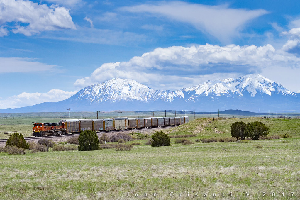
Spanish Peaks Country
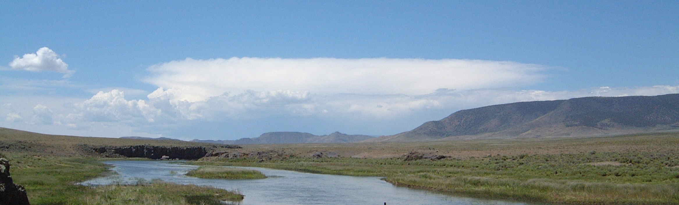
Cumulus Build Up over Southern Colorado
[earth-marathon-blog:00927] 過去
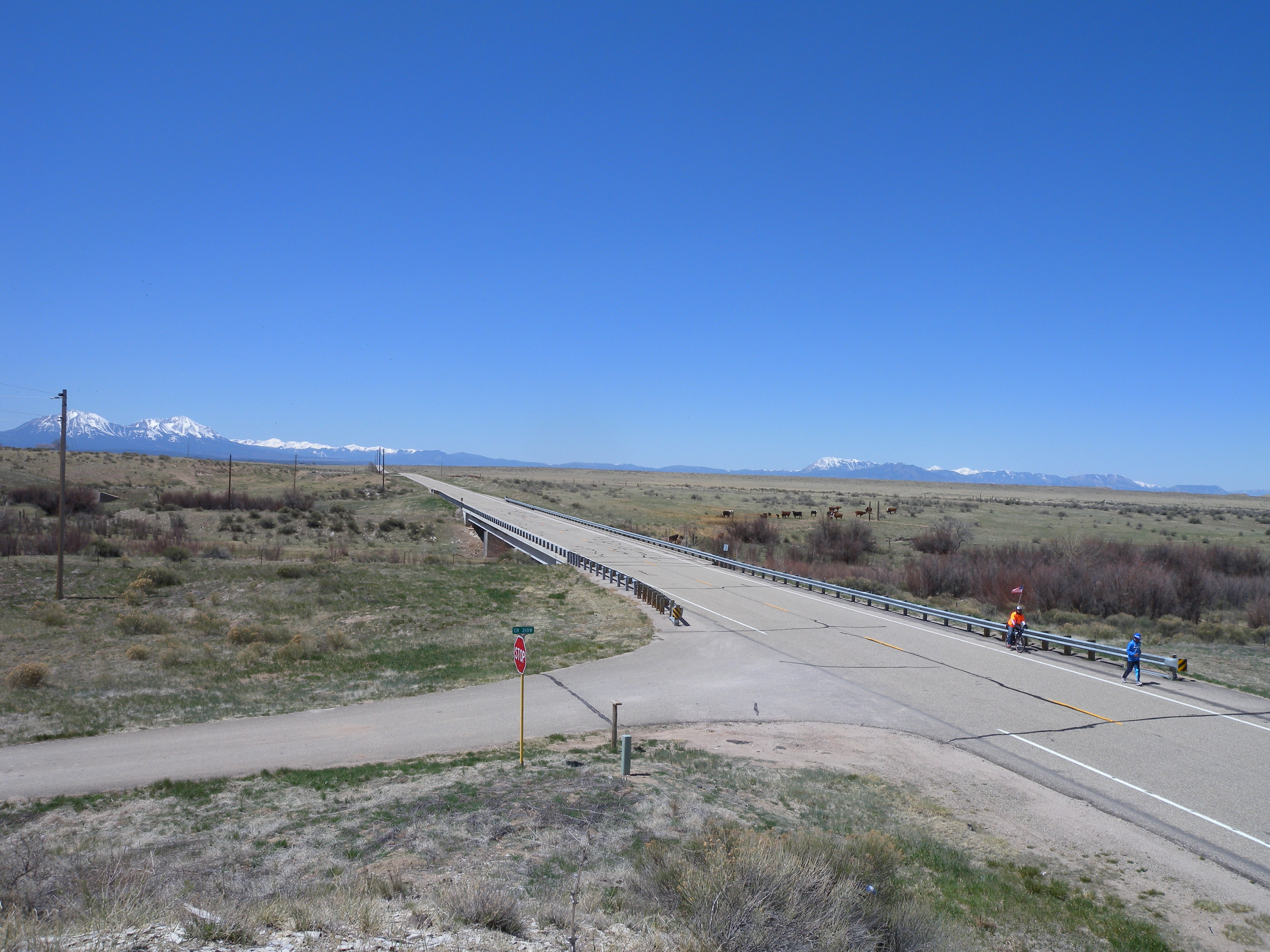
Along the Road

[earth-marathon-blog:00928] 132日目ゴール!!
Topographic Map of Vigil Canyon, Colorado, USA
Find elevation by address:

Places near Vigil Canyon, Colorado, USA:
Cedarwood Rd, Rye, CO, USA
504 Lonesome Whistle Rd
CO-10, Walsenburg, CO, USA
9776 Elk Ridge Ranch Rd
County Road 113
2405 Co Rd 110
1671 Co Rd 110
Walsenburg, CO, USA
Pickney Road
9640 Canyon Point Dr
Farista
107 N Harrison Ave
Walsenburg
330 W Cedar St
Co Rd, Walsenburg, CO, USA
Bear Ridge Ranch
Max's Place
1434 Rowell Rd
CO-10, Fowler, CO, USA
Black Diamond Park
Recent Searches:
- Elevation of Woodland Oak Pl, Thousand Oaks, CA, USA
- Elevation of Brownsdale Rd, Renfrew, PA, USA
- Elevation of Corcoran Ln, Suffolk, VA, USA
- Elevation of Mamala II, Sariaya, Quezon, Philippines
- Elevation of Sarangdanda, Nepal
- Elevation of 7 Waterfall Way, Tomball, TX, USA
- Elevation of SW 57th Ave, Portland, OR, USA
- Elevation of Crocker Dr, Vacaville, CA, USA
- Elevation of Pu Ngaol Community Meeting Hall, HWHM+3X7, Krong Saen Monourom, Cambodia
- Elevation of Royal Ontario Museum, Queens Park, Toronto, ON M5S 2C6, Canada