Elevation of Chiavari Way, Manteca, CA, USA
Location: United States > California > San Joaquin County > Manteca >
Longitude: -121.29325
Latitude: 37.7814
Elevation: 5m / 16feet
Barometric Pressure: 101KPa
Elevation Map:
Satellite Map:
Related Photos:

whats wrong with my heart?

Ruby-crowned Kinglet

East Frontage Road Railroad Crossing

Bushtit (m)
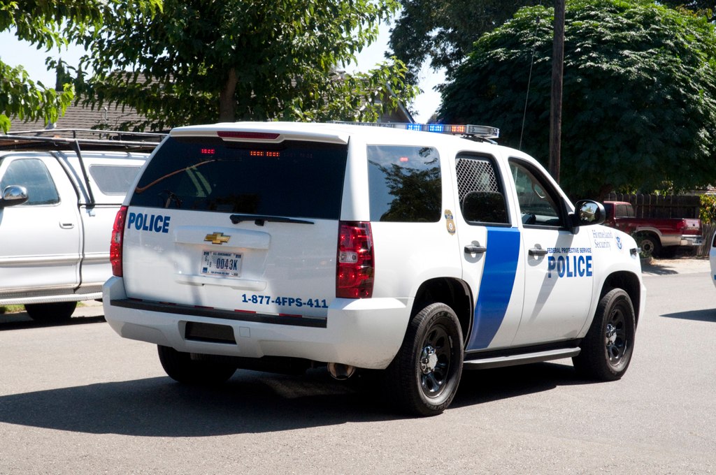
DHS Chevy Tahoe Code 3 Parade Back View
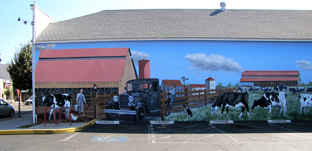
photo - Manteca, CA Mural 5-1

Citrus Heights GMC Swat Code 3 Parade Side View

Almond Blossoms

round view

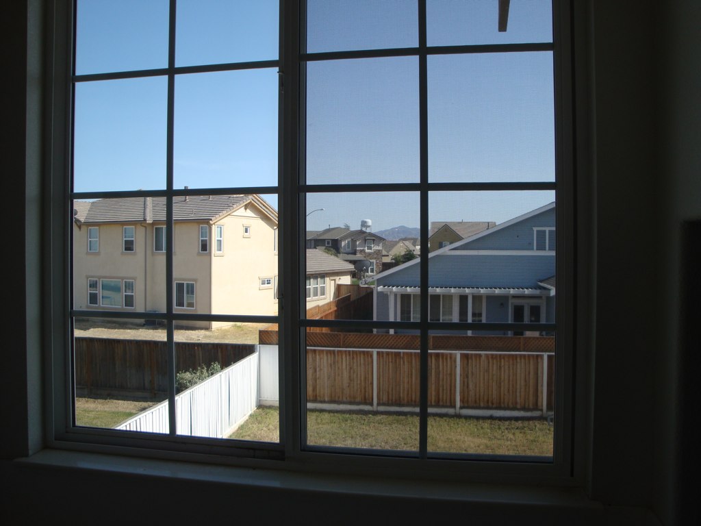
Window view

Horse Fly

Tracy_Transit-BusStop
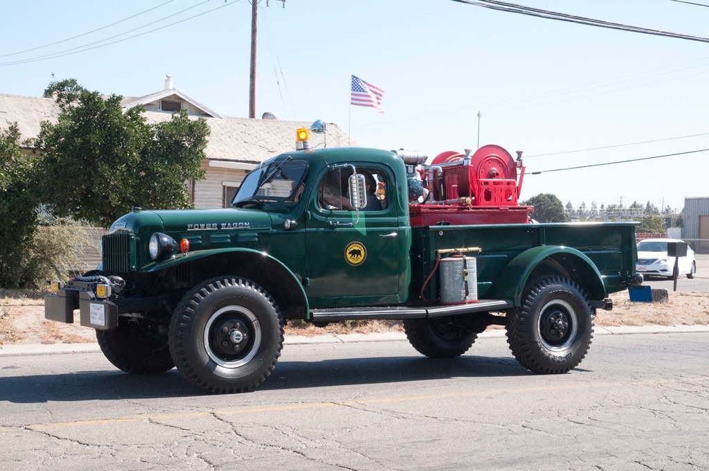
California Parks 1962 Dodge Power Wagon Code 3 Parade Side View

Horse Fly
Tub View

Sunset in Tracy

California Highway Patrol Dodge Charger Side View Code 3

CHP 1982 AMC Eagle Code 3 Parade Back View

photo - Manteca, CA Mural 5-2
That California highway view
photo - Manteca, CA Mural 4-1

pipe (color infrared). lathrop, ca. 2016.

hills of southern San Joaquin County, July 1, 2007

pipes (color infrared). lathrop, ca. 2016.

circle square. lathrop, ca. 2015.

Sunrise, Holly Sugar, Tracy, CA
ACE 8
Spring Thunderstorm, San Joaquin County, CA

Clouds and Furrows, San Joaquin County, CA

Almond Blossoms and Dusk, San Joaquin County, CA

Moody Vineyards
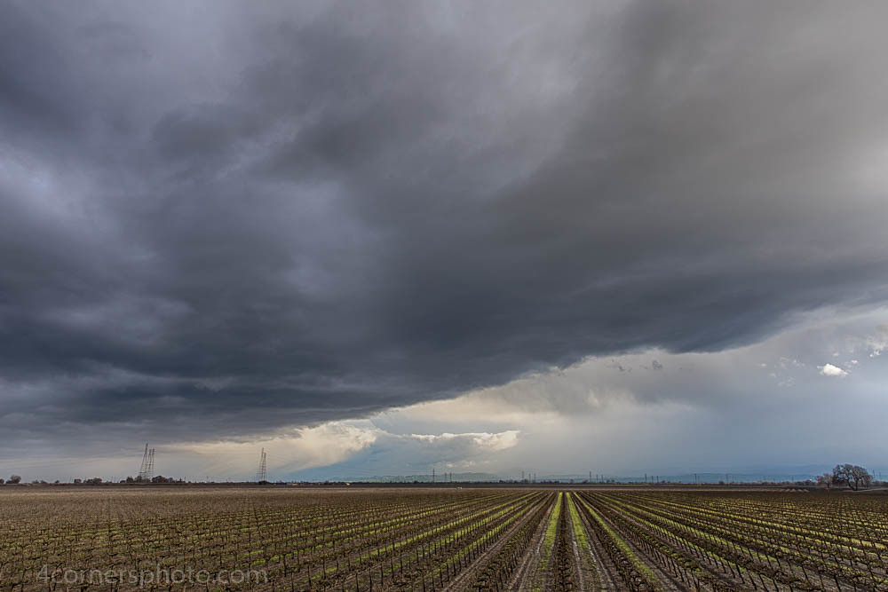
Thunderstorm and Vineyard, San Joaquin County, CA
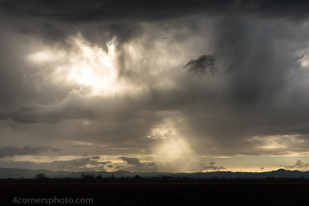
Crepuscular Rays, San Joaquin County, CA

Autumn Thunderstorm, San Joaquin County, CA

Electric Tower and Twilight, San Joaquin County, CA
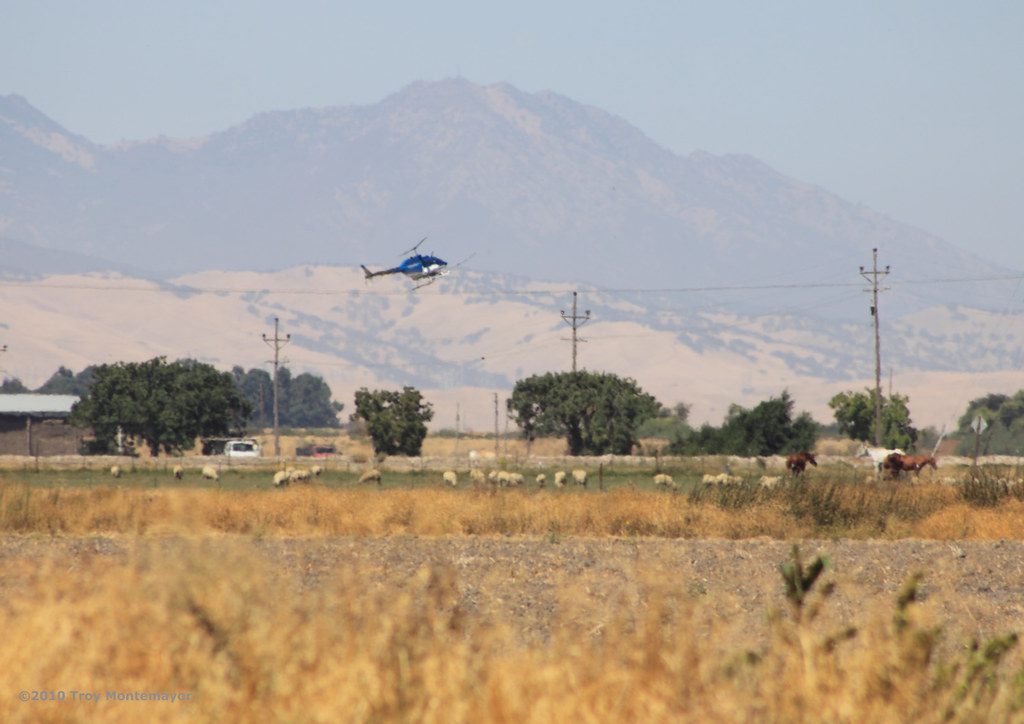
Crop Duster and Mount Diablo, CA

Sunset, Mount Diablo, CA

Thunderstorm and Orchard, San Joaquin County, CA

hills of western Stanislaus County, July 1, 2007
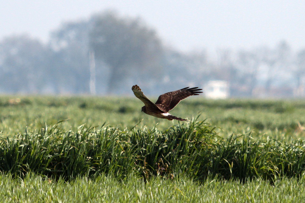
Northern Harrier
Day 6 of 366 in 2016
Topographic Map of Chiavari Way, Manteca, CA, USA
Find elevation by address:

Places near Chiavari Way, Manteca, CA, USA:
703 Williamson Rd
501 S Manthey Rd
Paradise Cut
5151 California Ave
S Bird Rd, Tracy, CA, USA
Kasson Road
Banta Rd, Tracy, CA, USA
24126 Cabe Rd
Tracy Defense Distribution Depot
338 E Lowell Ave
Tracy High School
2669 Atherton Ct
Tracy
2191 Erie Ct
442 W Kavanagh Ave
925 Amaretto Dr
328 W Beverly Pl
251 De Bord Dr
W Linne Rd, Tracy, CA, USA
1416 Madison Ave
Recent Searches:
- Elevation of Lytham Ln, Katy, TX, USA
- Elevation of Tater Hill, Oklahoma, USA
- Elevation of NY-, Friendship, NY, USA
- Elevation of 64 Danakas Dr, Winnipeg, MB R2C 5N7, Canada
- Elevation of 4 Vale Rd, Sheffield S3 9QX, UK
- Elevation of Keene Point Drive, Keene Point Dr, Grant, AL, USA
- Elevation of State St, Zanesville, OH, USA
- Elevation of Austin Stone Dr, Haslet, TX, USA
- Elevation of Bydgoszcz, Poland
- Elevation of Bydgoszcz, Poland