Elevation of Cabe Rd, Tracy, CA, USA
Location: United States > California > San Joaquin County > Tracy >
Longitude: -121.40299
Latitude: 37.738427
Elevation: 15m / 49feet
Barometric Pressure: 101KPa
Elevation Map:
Satellite Map:
Related Photos:

round view

ALL STAAAARS. (explored #9)

whats wrong with my heart?
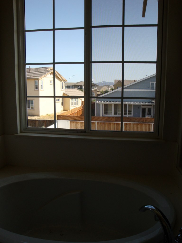
Tub View

Window view

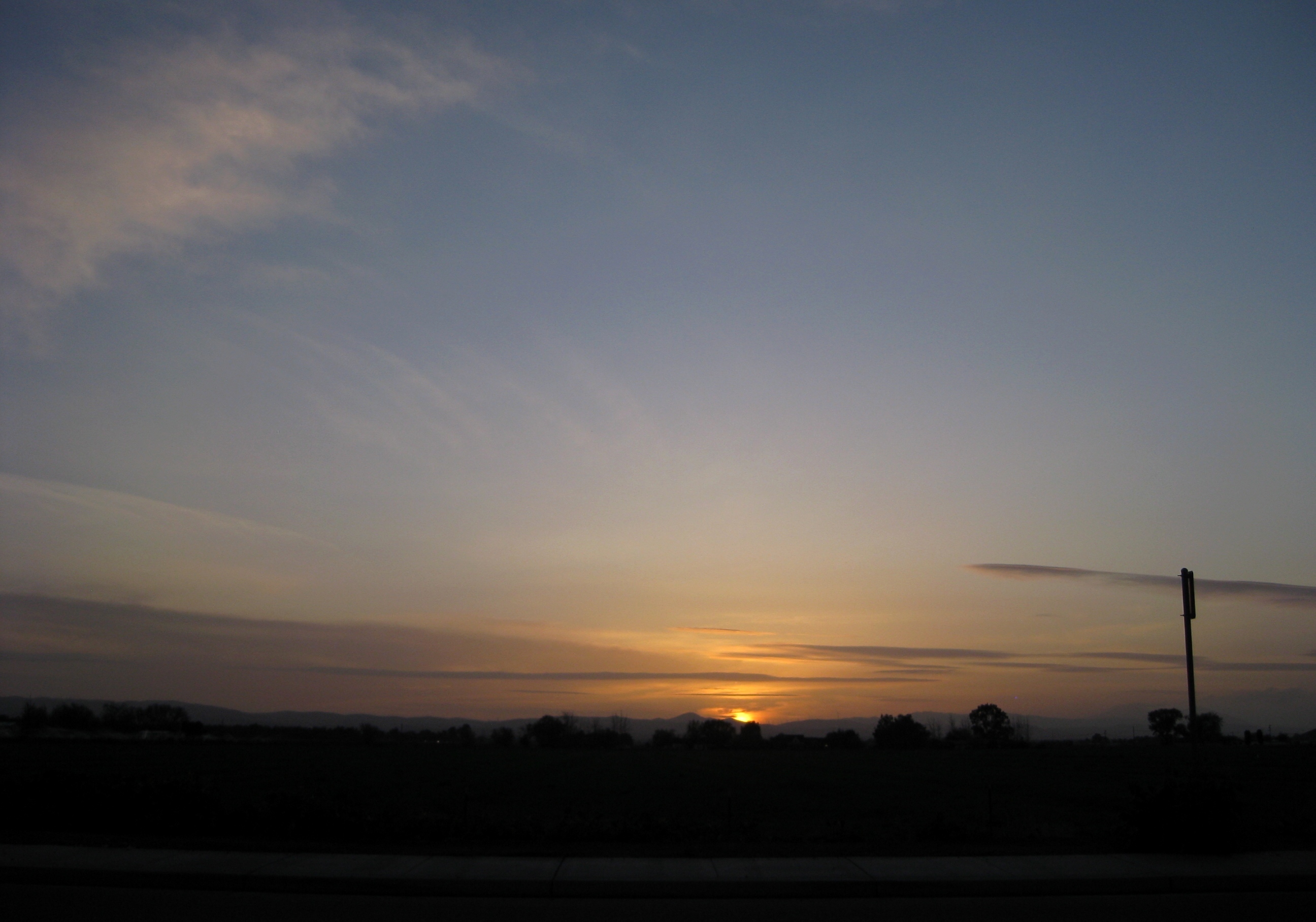
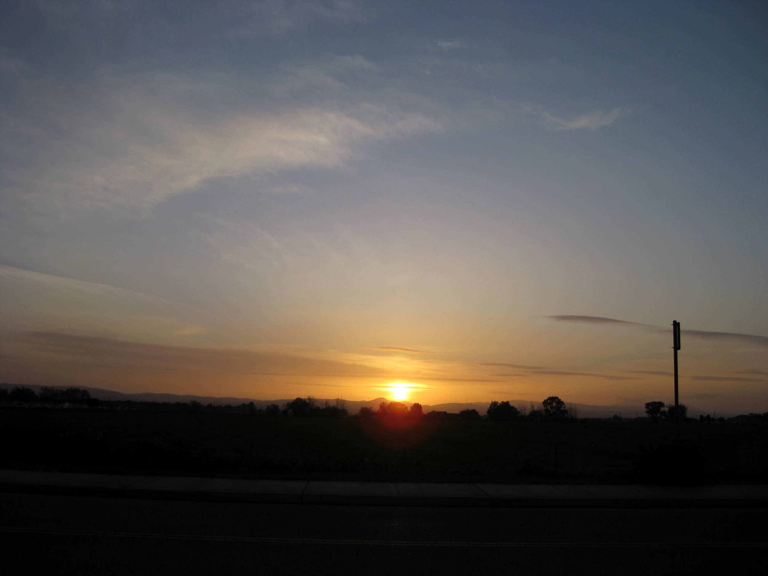
Sunset in Tracy
FROM THE "ROAD NOTES OF MAVEN": 0.01 To 0.0 Miles
Memoir Avenue

Almond Orchard

Enjoying A Sunset In Tracy, CA (3-28-12) Photo #3

The view this morning.
Tracy_Transit-BusStop
Tub View
A Beautiful Sunset With Clouds From Tracy, CA (3-28-12) Photo #2
Memoir Avenue
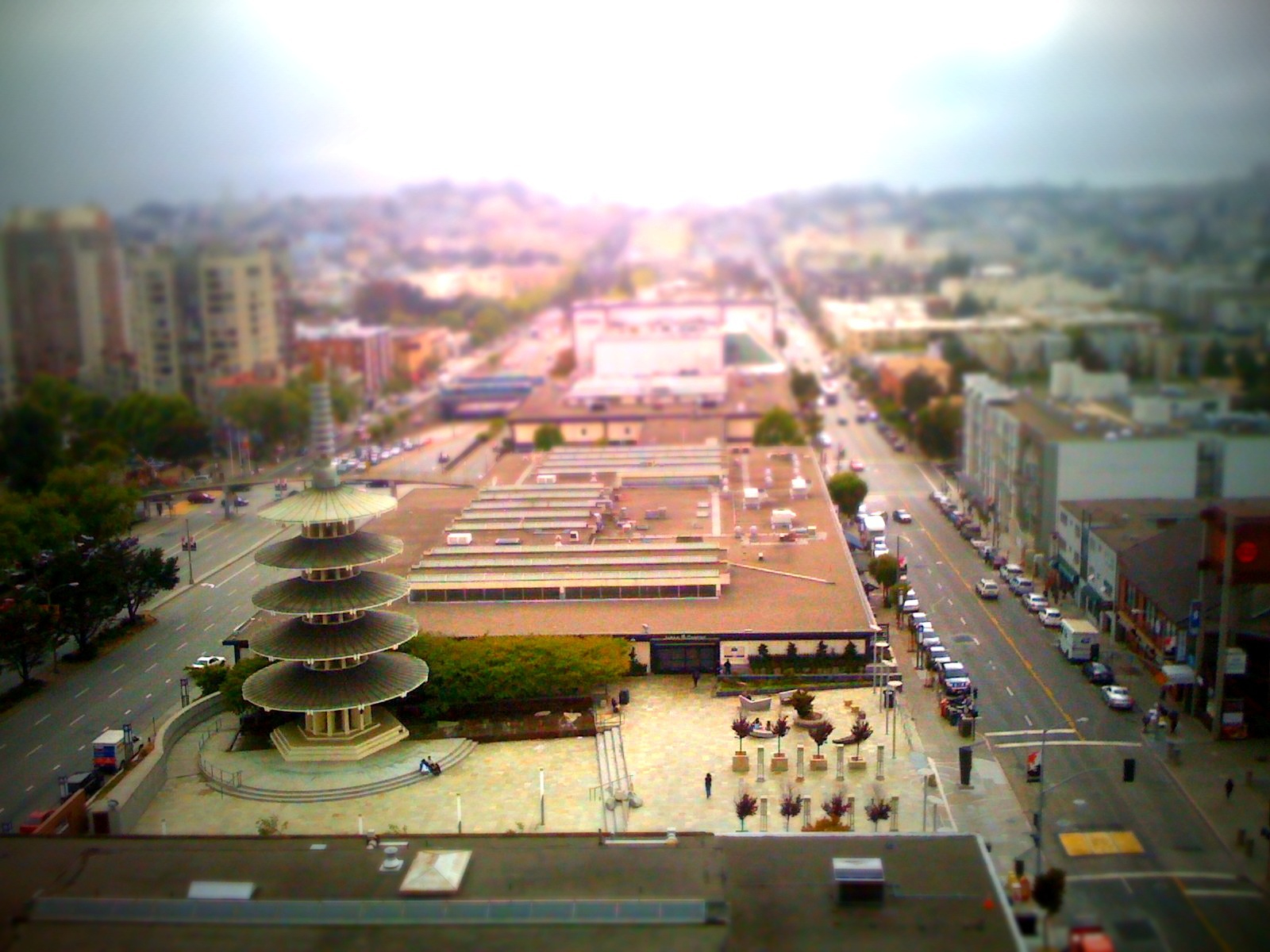
Kabuki View

Almond Blossoms
A Beautiful Sunset With Clouds From Tracy, CA (3-28-12) Photo #3
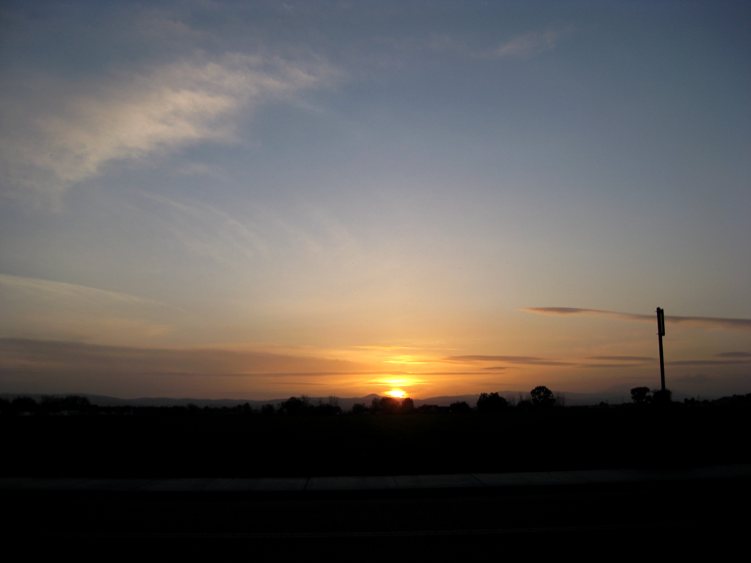
A Beautiful Sunset With Clouds From Tracy, CA (3-28-12) Photo #1
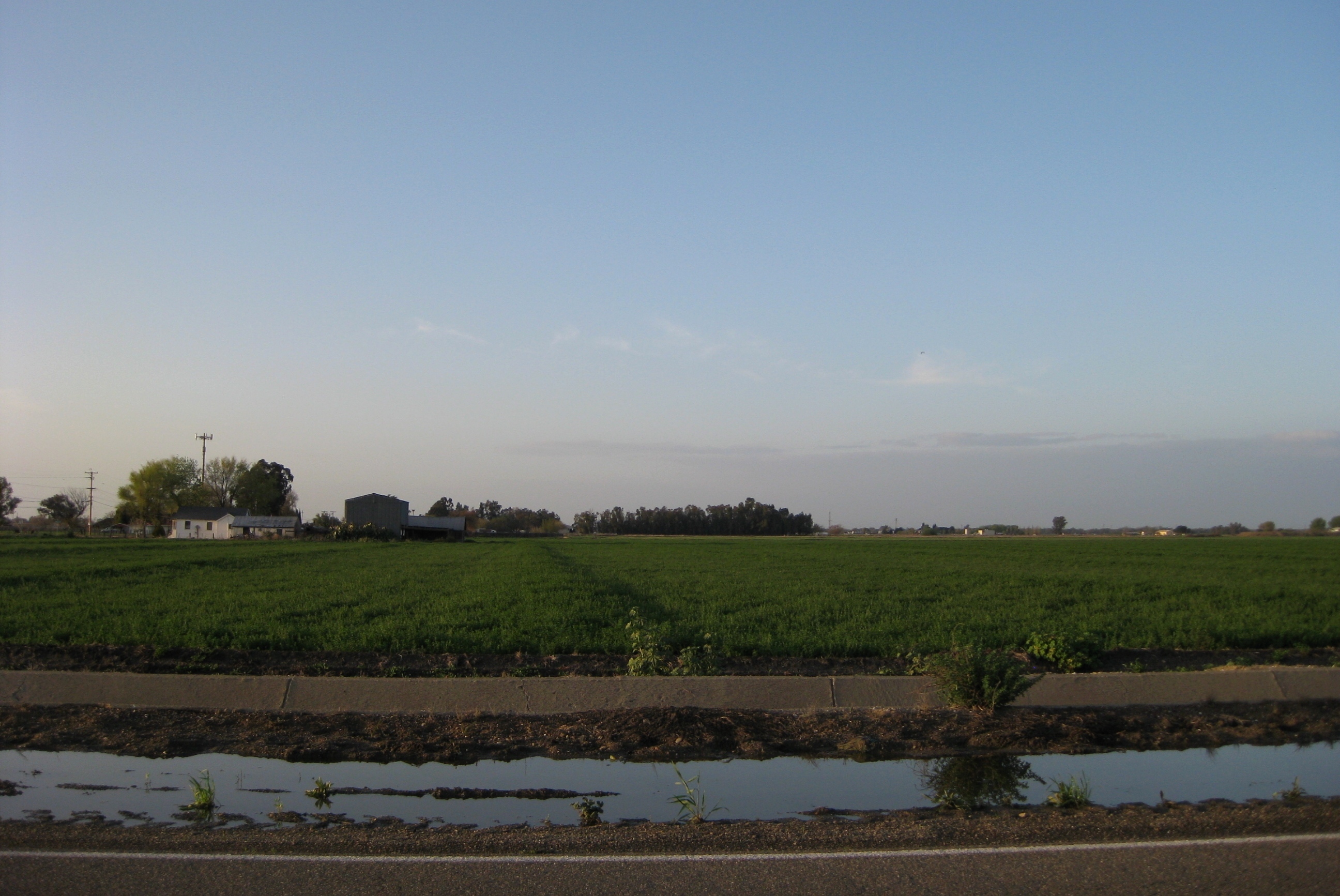
Farmlands/Agricultural Lands Along West Larch Road in Tracy, CA (3-28-12) Photo #1
California 050

Brichetto Tomb Nº 1
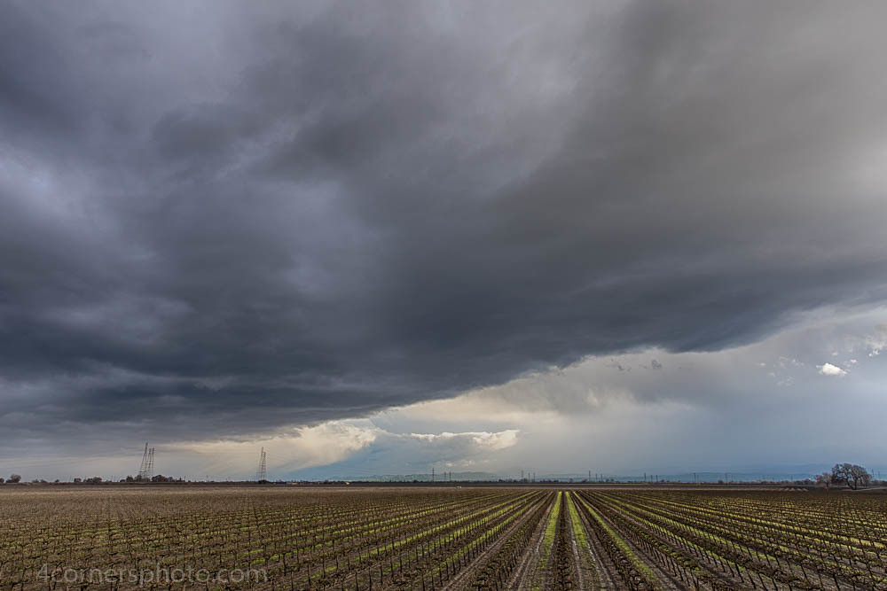
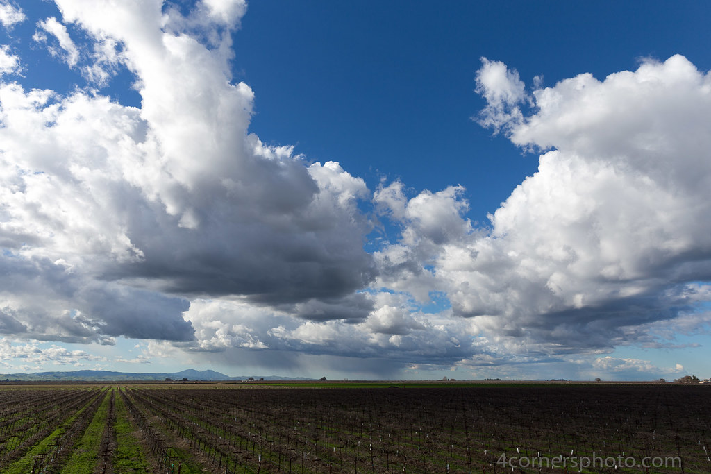
Thunderstorm and Vineyard, San Joaquin County, CA
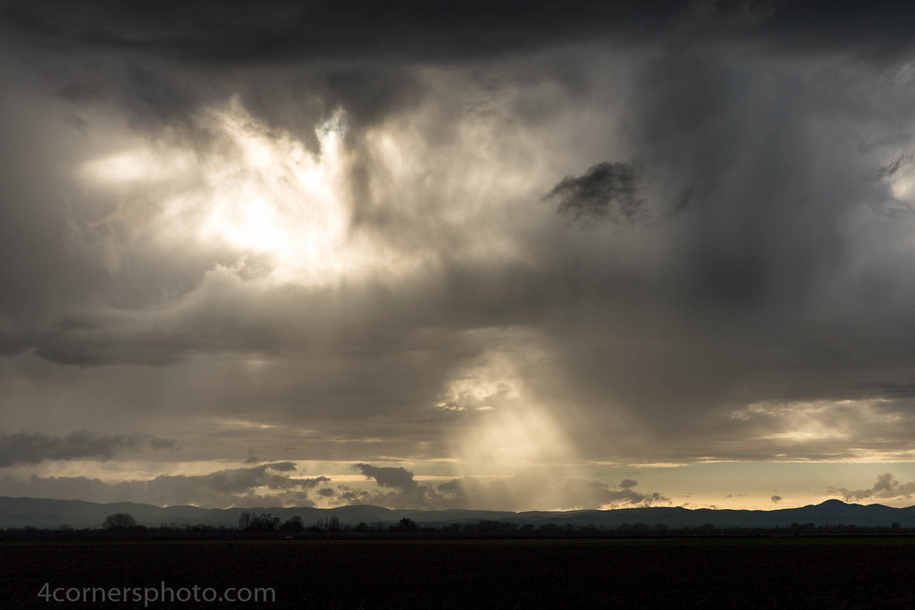
Crepuscular Rays, San Joaquin County, CA
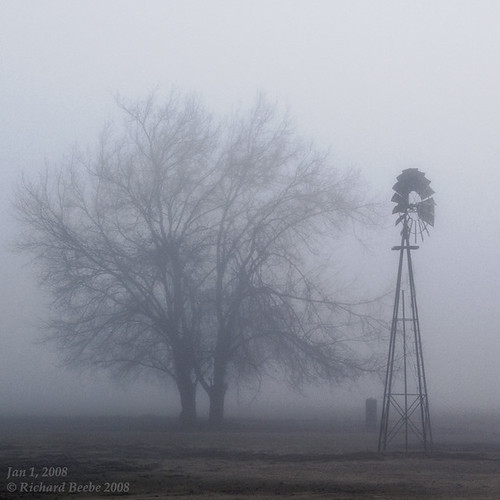
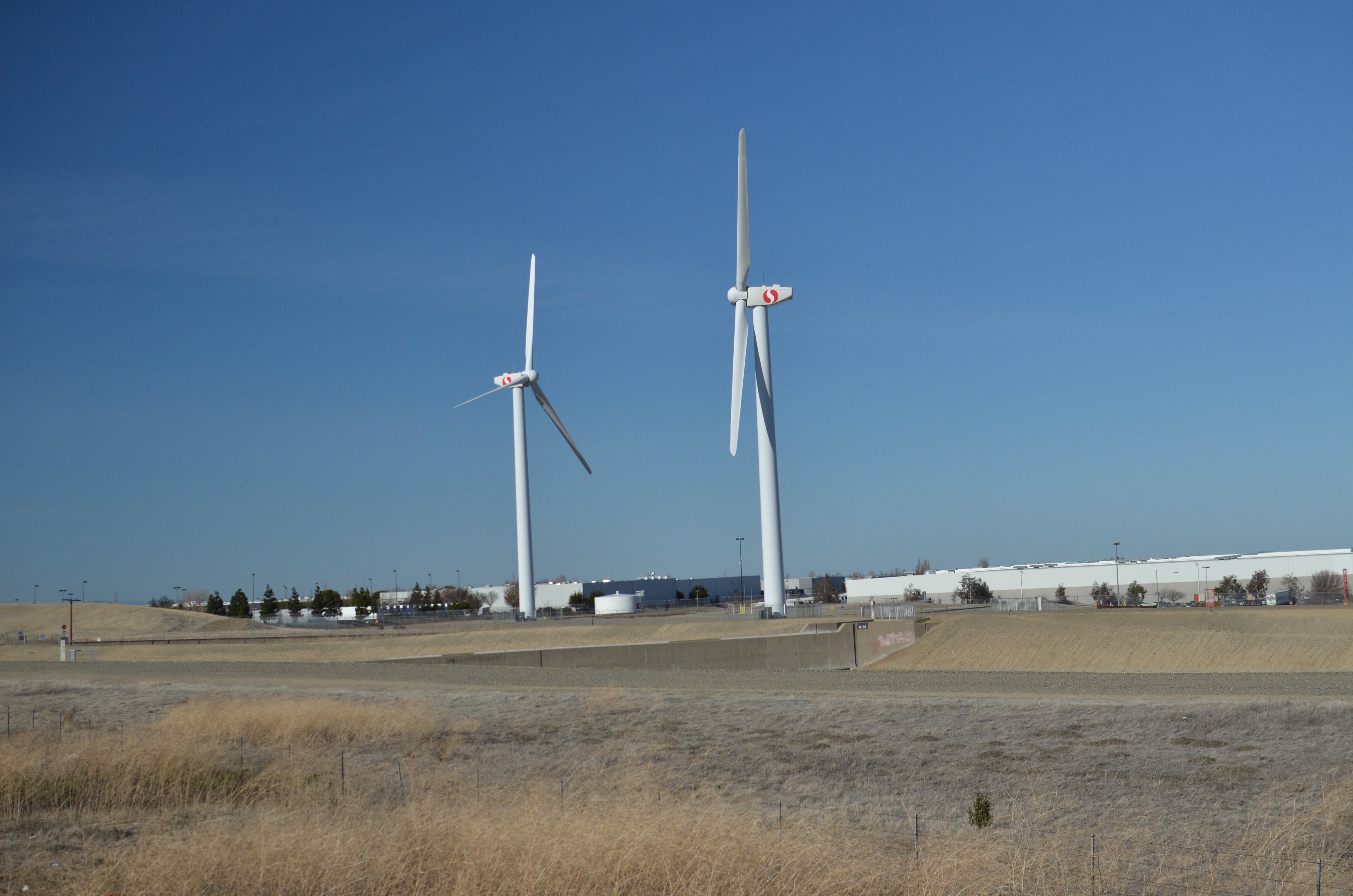
RB_01-01-08_057sq_windmill
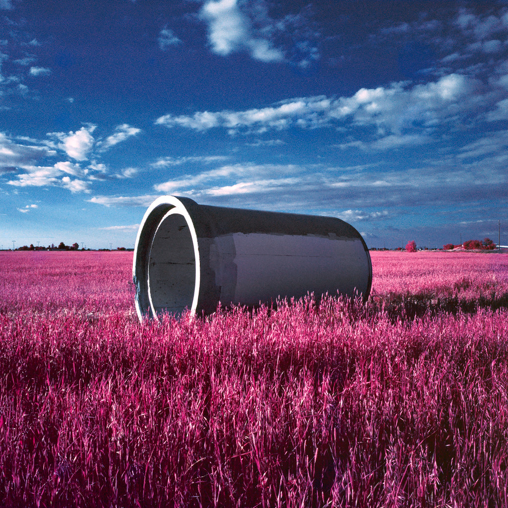
pipe (color infrared). lathrop, ca. 2016.

Sunset, Union Island and Mount Diablo

SP San Joaquin Daylight
junjul2009 146

Sunset, Mount Diablo, CA
hills of southern San Joaquin County, July 1, 2007

hills of western Stanislaus County, July 1, 2007
ACE 8
Mar 23, 2009
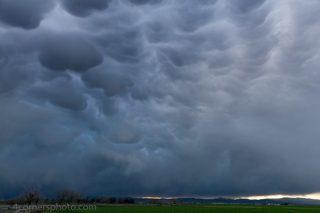
Mammatus Clouds, San Joaquin County, CA

On the road again.
junjul2009 145

Another Sunrise
Lathrop, CA
junjul2009 142
Winter Rain and Vineyard, San Joaquin County, CA

Lathrop, CA
Topographic Map of Cabe Rd, Tracy, CA, USA
Find elevation by address:

Places near Cabe Rd, Tracy, CA, USA:
Tracy High School
338 E Lowell Ave
Tracy
925 Amaretto Dr
2191 Erie Ct
2669 Atherton Ct
Tracy Defense Distribution Depot
328 W Beverly Pl
251 De Bord Dr
785 Independence Dr
55 E Deerwood Ln
Banta Rd, Tracy, CA, USA
1416 Madison Ave
442 W Kavanagh Ave
512 Quail Run Cir
5151 California Ave
1801 Radcliff Ct
S Bird Rd, Tracy, CA, USA
W Linne Rd, Tracy, CA, USA
11320 Mountain View Rd
Recent Searches:
- Elevation of East W.T. Harris Boulevard, E W.T. Harris Blvd, Charlotte, NC, USA
- Elevation of West Sugar Creek, Charlotte, NC, USA
- Elevation of Wayland, NY, USA
- Elevation of Steadfast Ct, Daphne, AL, USA
- Elevation of Lagasgasan, X+CQH, Tiaong, Quezon, Philippines
- Elevation of Rojo Ct, Atascadero, CA, USA
- Elevation of Flagstaff Drive, Flagstaff Dr, North Carolina, USA
- Elevation of Avery Ln, Lakeland, FL, USA
- Elevation of Woolwine, VA, USA
- Elevation of Lumagwas Diversified Farmers Multi-Purpose Cooperative, Lumagwas, Adtuyon, RV32+MH7, Pangantucan, Bukidnon, Philippines