Elevation of Banta Rd, Tracy, CA, USA
Location: United States > California > San Joaquin County > Tracy >
Longitude: -121.38039
Latitude: 37.715919
Elevation: 23m / 75feet
Barometric Pressure: 101KPa
Elevation Map:
Satellite Map:
Related Photos:

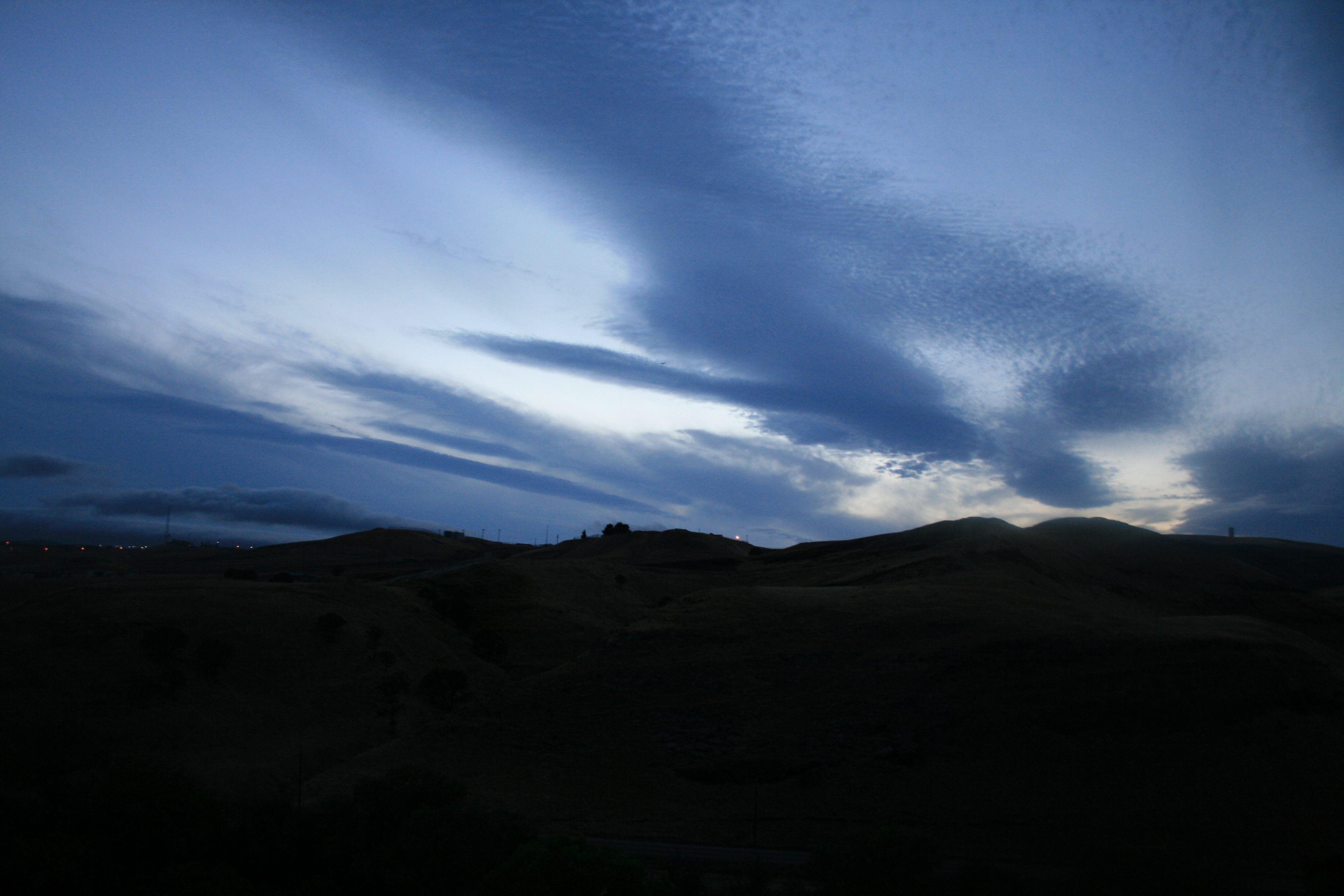
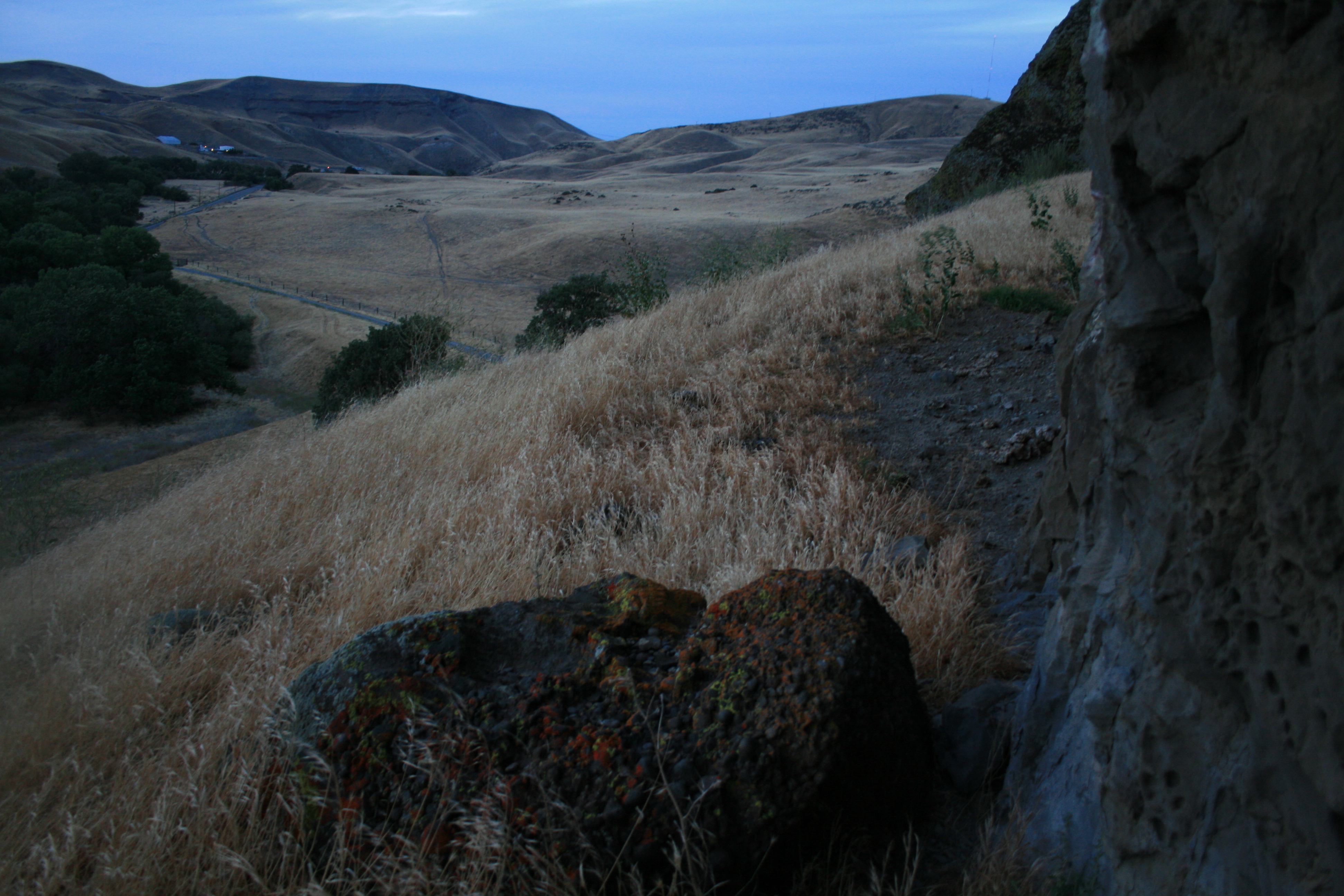
round view

ALL STAAAARS. (explored #9)
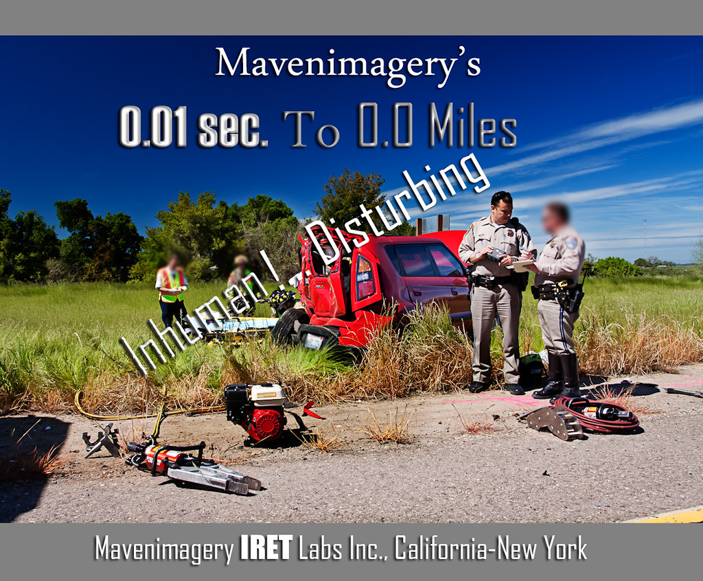
FROM THE "ROAD NOTES OF MAVEN": 0.01 To 0.0 Miles

whats wrong with my heart?
Tub View

Sunset in Tracy

Horse Fly
Memoir Avenue

Enjoying A Sunset In Tracy, CA (3-28-12) Photo #3
Hailing/Snowing on Altamont Pass (April 7, 2011)

The view this morning.

Tracy_Transit-BusStop
Rest area somewhere along Hwy 5

Horse Fly
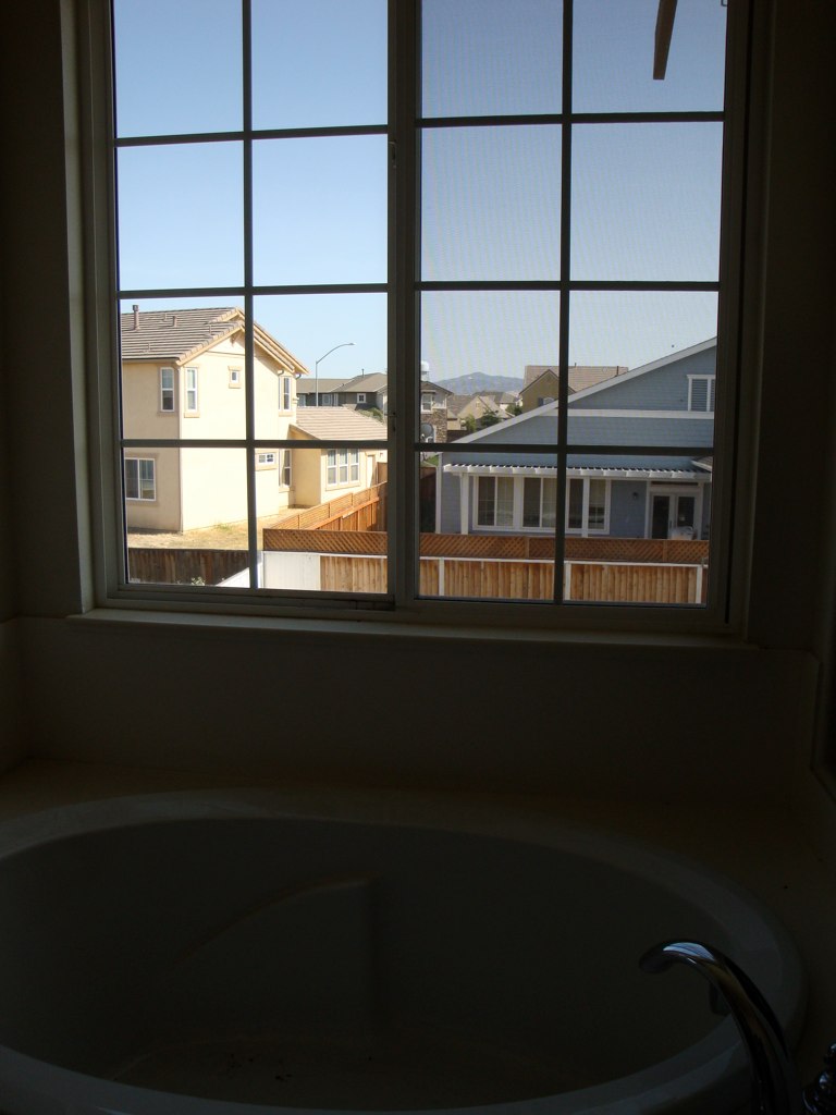
Tub View

A Beautiful Sunset With Clouds From Tracy, CA (3-28-12) Photo #2
Memoir Avenue
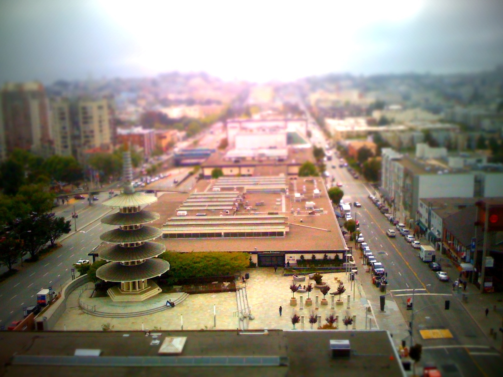
Kabuki View

Blue Mud Wasp?

Almond Blossoms
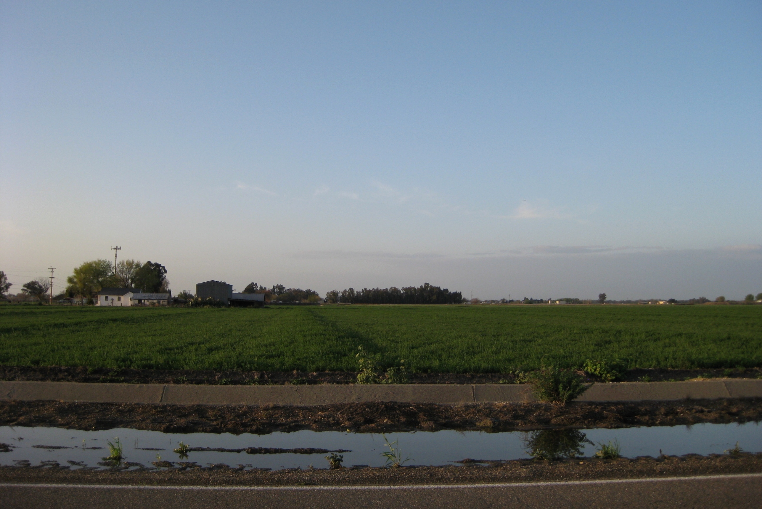
Farmlands/Agricultural Lands Along West Larch Road in Tracy, CA (3-28-12) Photo #1

Thunderstorm and Vineyard, San Joaquin County, CA

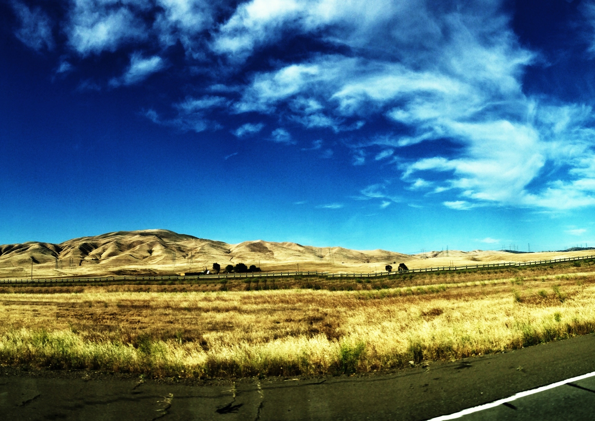
I-5 Drylands

Crepuscular Rays, San Joaquin County, CA

Inspired by @robertogreco ... @rogre #shadows #iphoneography #igrs

Autumn Thunderstorm, San Joaquin County, CA

SP San Joaquin Daylight

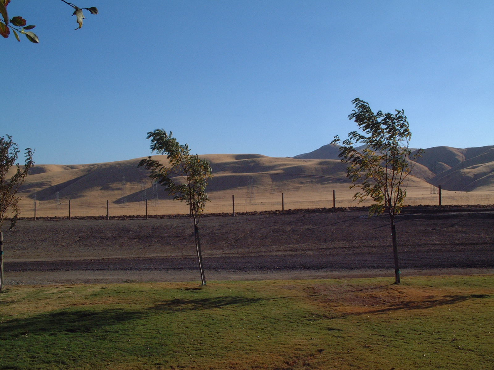
hills of southern San Joaquin County, July 1, 2007
On The Way Home no. 2

hills of western Stanislaus County, July 1, 2007
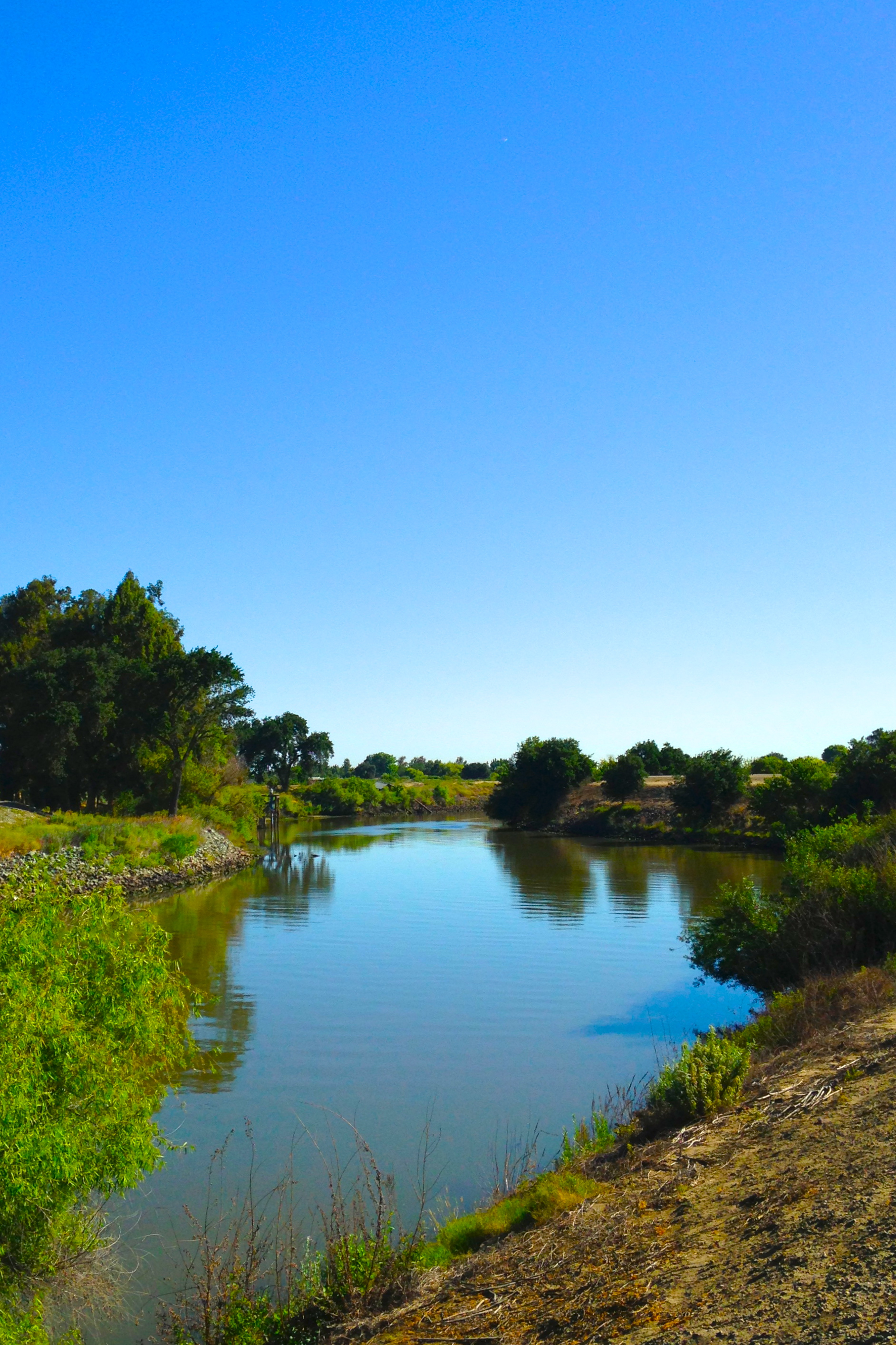
San Joaquin River

Sunset ,Powerlines ,And Wind Machines

Brichetto Tomb Nº 1

RB_01-01-08_057sq_windmill

Electric Tower and Twilight, San Joaquin County, CA
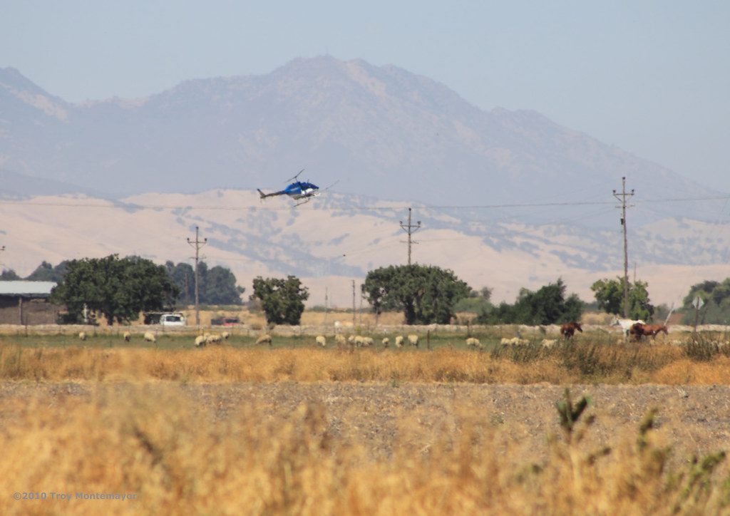
Crop Duster and Mount Diablo, CA
junjul2009 146

Sunset, Mount Diablo, CA
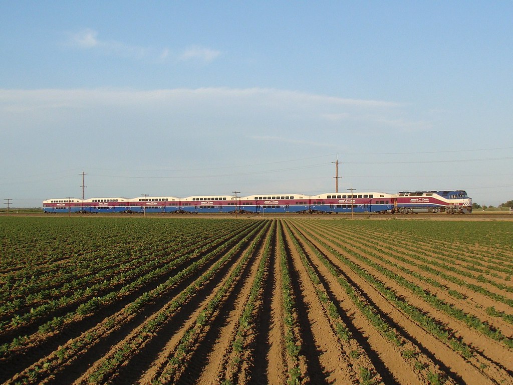
ACE 8
Mar 23, 2009

On the road again.
junjul2009 145
Topographic Map of Banta Rd, Tracy, CA, USA
Find elevation by address:

Places near Banta Rd, Tracy, CA, USA:
Tracy Defense Distribution Depot
S Bird Rd, Tracy, CA, USA
2669 Atherton Ct
24126 Cabe Rd
2191 Erie Ct
W Linne Rd, Tracy, CA, USA
512 Quail Run Cir
251 De Bord Dr
925 Amaretto Dr
5151 California Ave
Tracy High School
55 E Deerwood Ln
Tracy
338 E Lowell Ave
785 Independence Dr
328 W Beverly Pl
1416 Madison Ave
11320 Mountain View Rd
442 W Kavanagh Ave
1713 Ray Wise Ln
Recent Searches:
- Elevation of Kreuzburger Weg 13, Düsseldorf, Germany
- Elevation of Gateway Blvd SE, Canton, OH, USA
- Elevation of East W.T. Harris Boulevard, E W.T. Harris Blvd, Charlotte, NC, USA
- Elevation of West Sugar Creek, Charlotte, NC, USA
- Elevation of Wayland, NY, USA
- Elevation of Steadfast Ct, Daphne, AL, USA
- Elevation of Lagasgasan, X+CQH, Tiaong, Quezon, Philippines
- Elevation of Rojo Ct, Atascadero, CA, USA
- Elevation of Flagstaff Drive, Flagstaff Dr, North Carolina, USA
- Elevation of Avery Ln, Lakeland, FL, USA