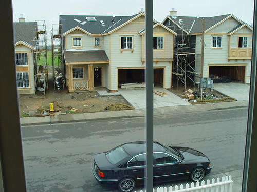
Elevation of S Bird Rd, Tracy, CA, USA
Location: United States > California > San Joaquin County > Tracy >
Longitude: -121.36021
Latitude: 37.732162
Elevation: 17m / 56feet
Barometric Pressure: 101KPa
Elevation Map:
Satellite Map:
Related Photos:

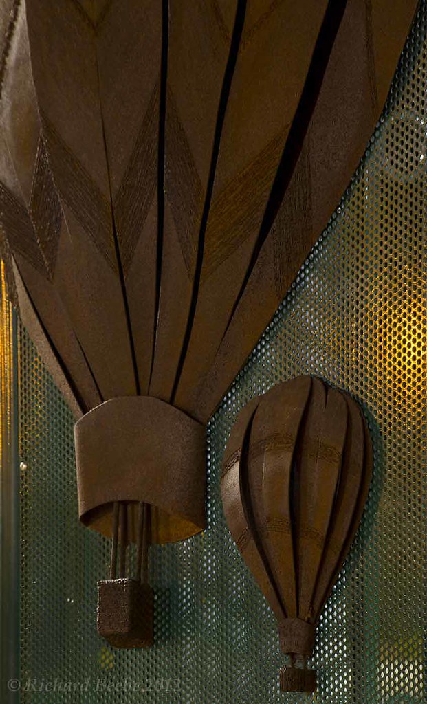
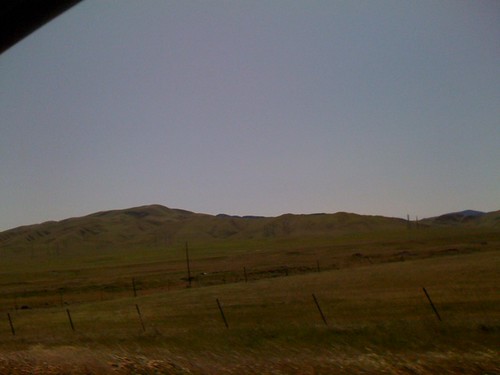
round view

ALL STAAAARS. (explored #9)

whats wrong with my heart?
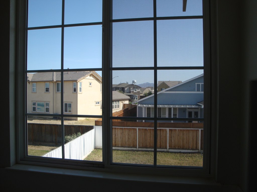
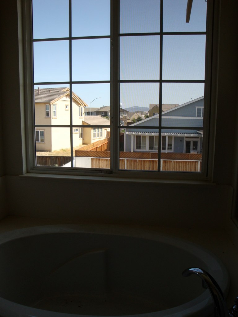
Tub View

Sunset in Tracy
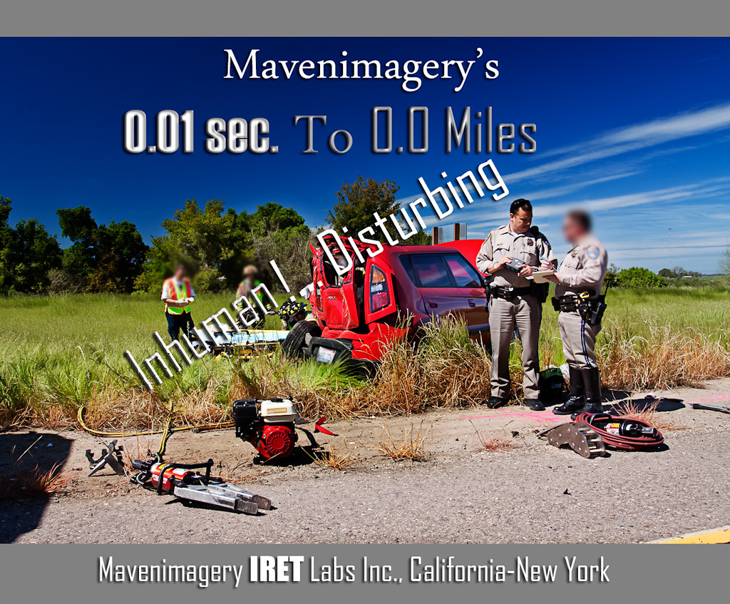
FROM THE "ROAD NOTES OF MAVEN": 0.01 To 0.0 Miles

photo - Manteca, CA Mural 5-2
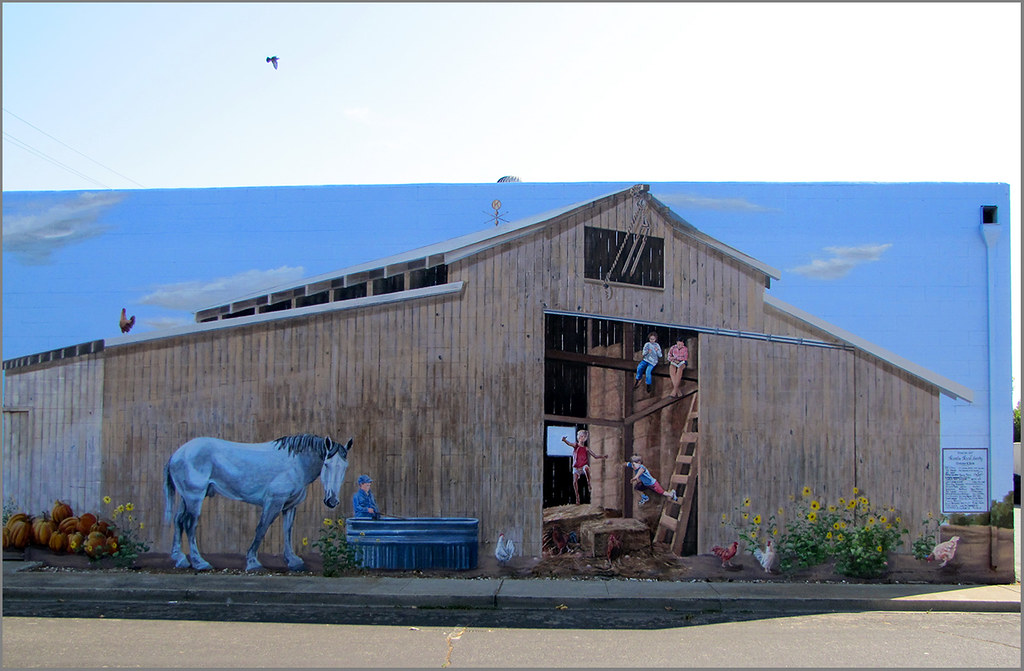
photo - Manteca, CA Mural 4-1

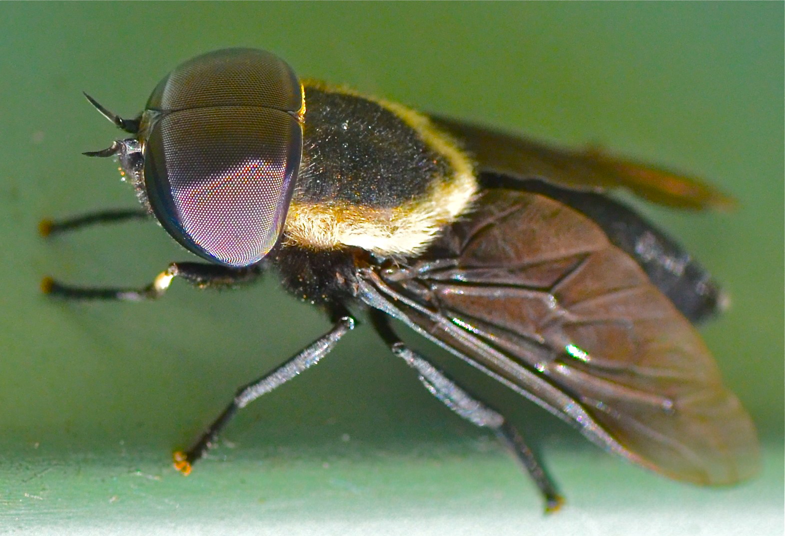
Horse Fly

photo - Manteca, CA Mural 2
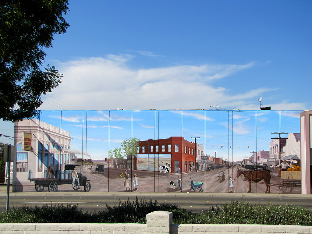
photo - Manteca, CA Mural 1
Memoir Avenue
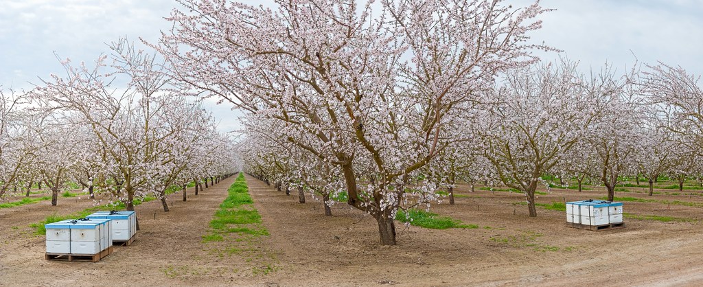
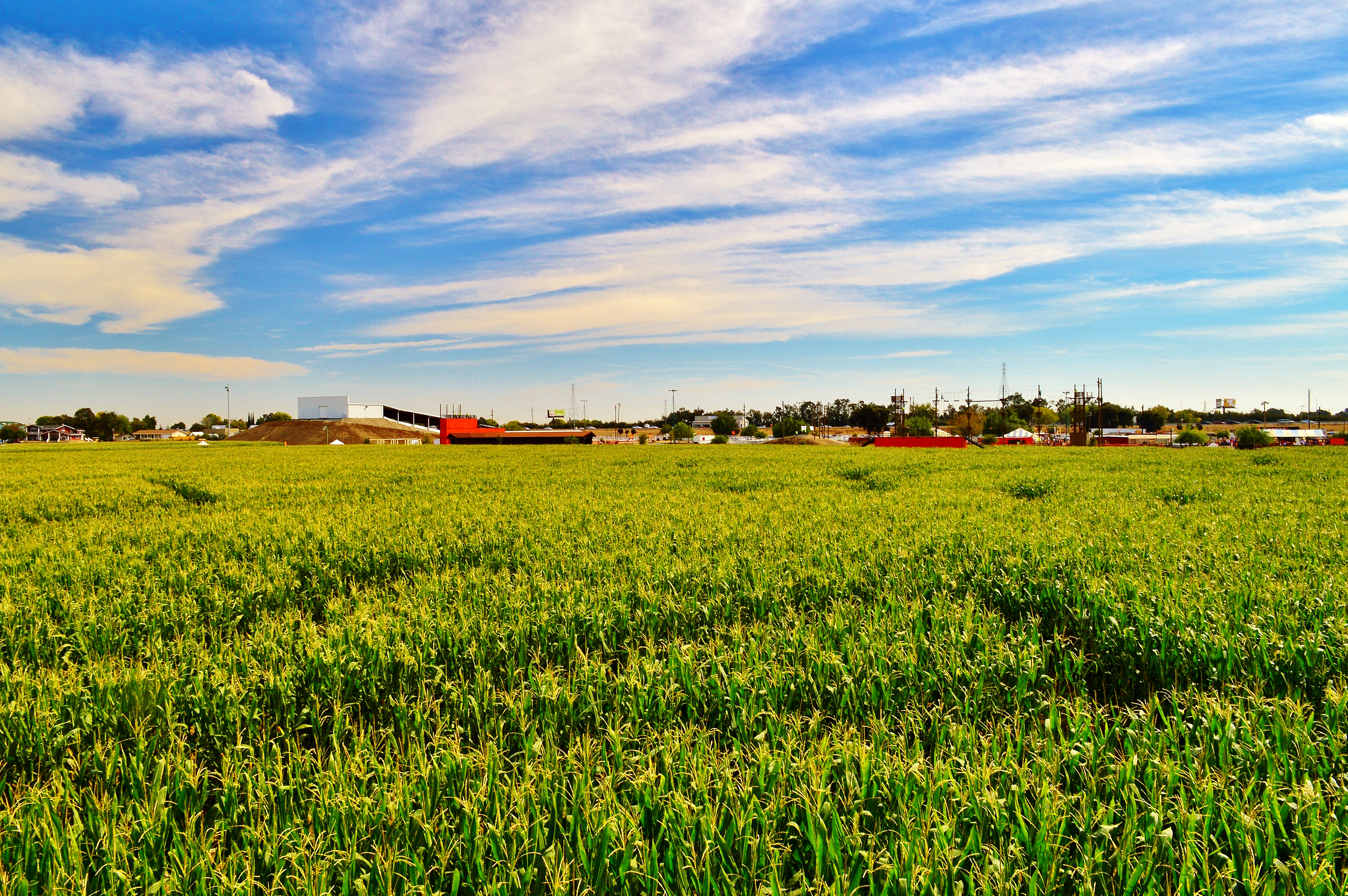
Almond Orchard

Enjoying A Sunset In Tracy, CA (3-28-12) Photo #3
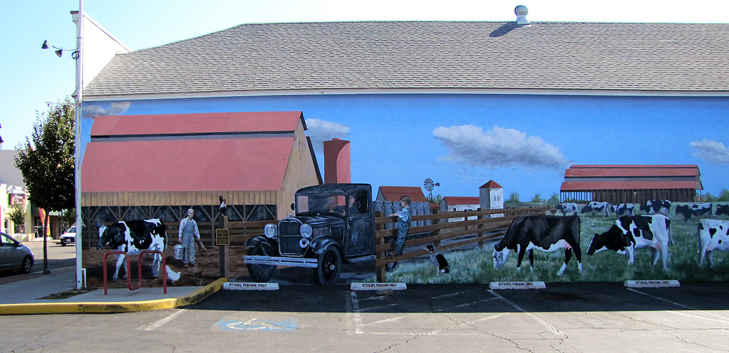
photo - Manteca, CA Mural 5-1
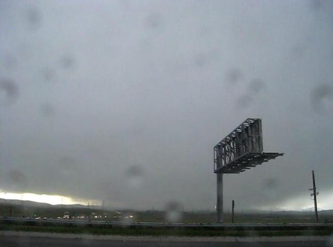
Hailing/Snowing on Altamont Pass (April 7, 2011)

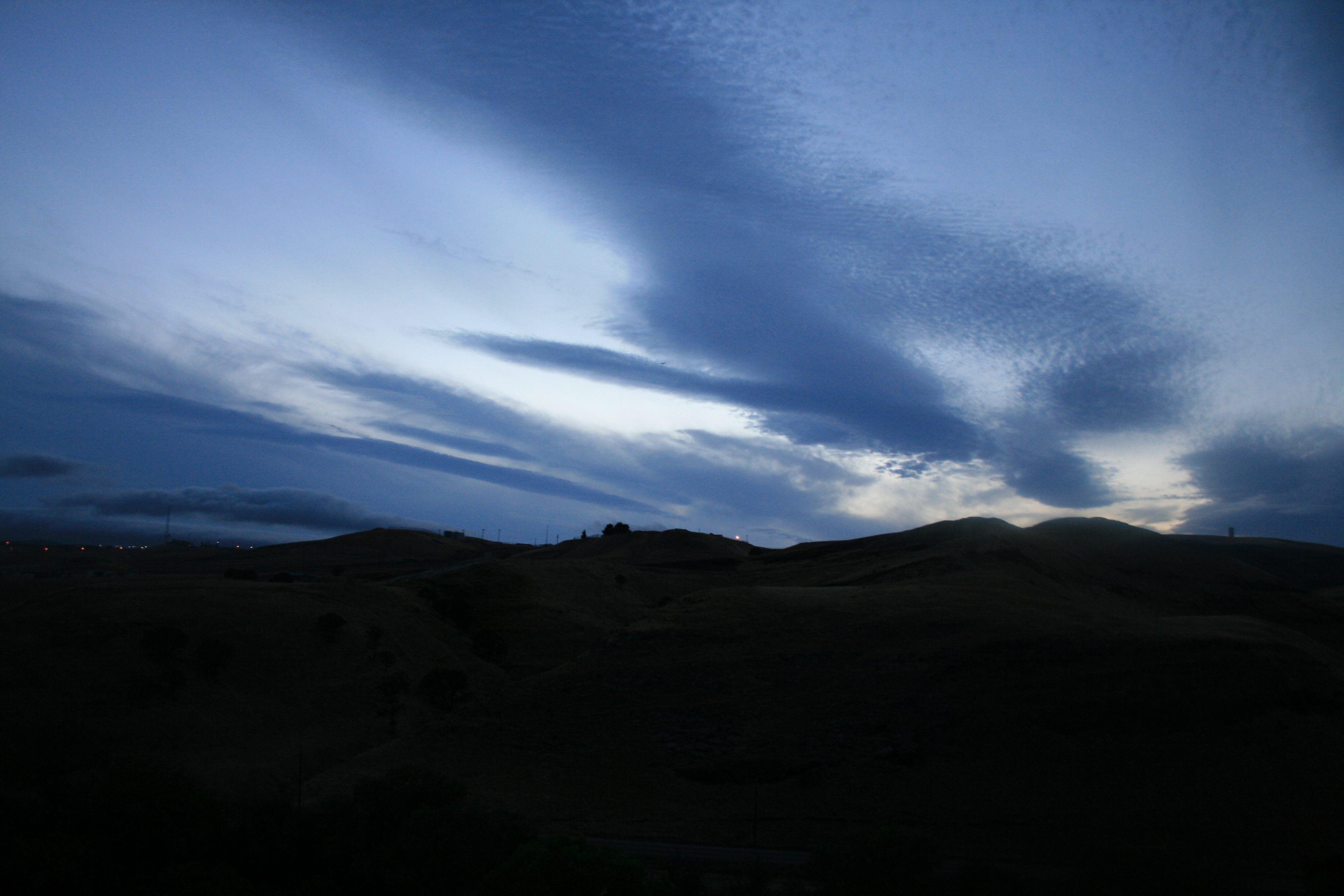
The view this morning.
Tracy_Transit-BusStop
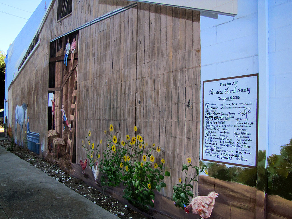
photo - Manteca, CA Mural 4-2
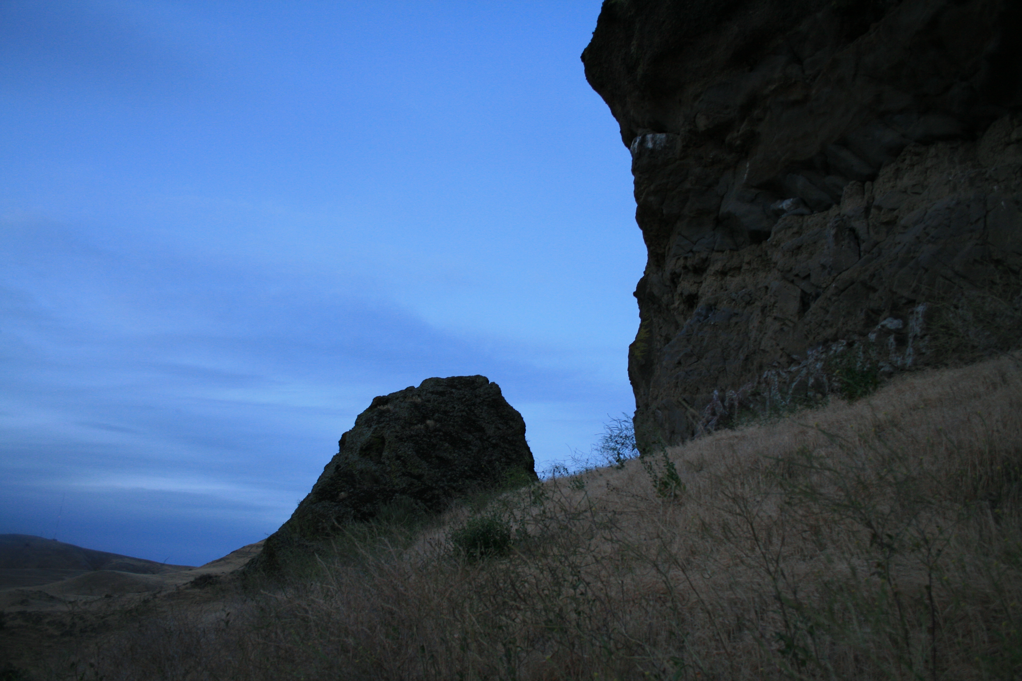
Horse Fly
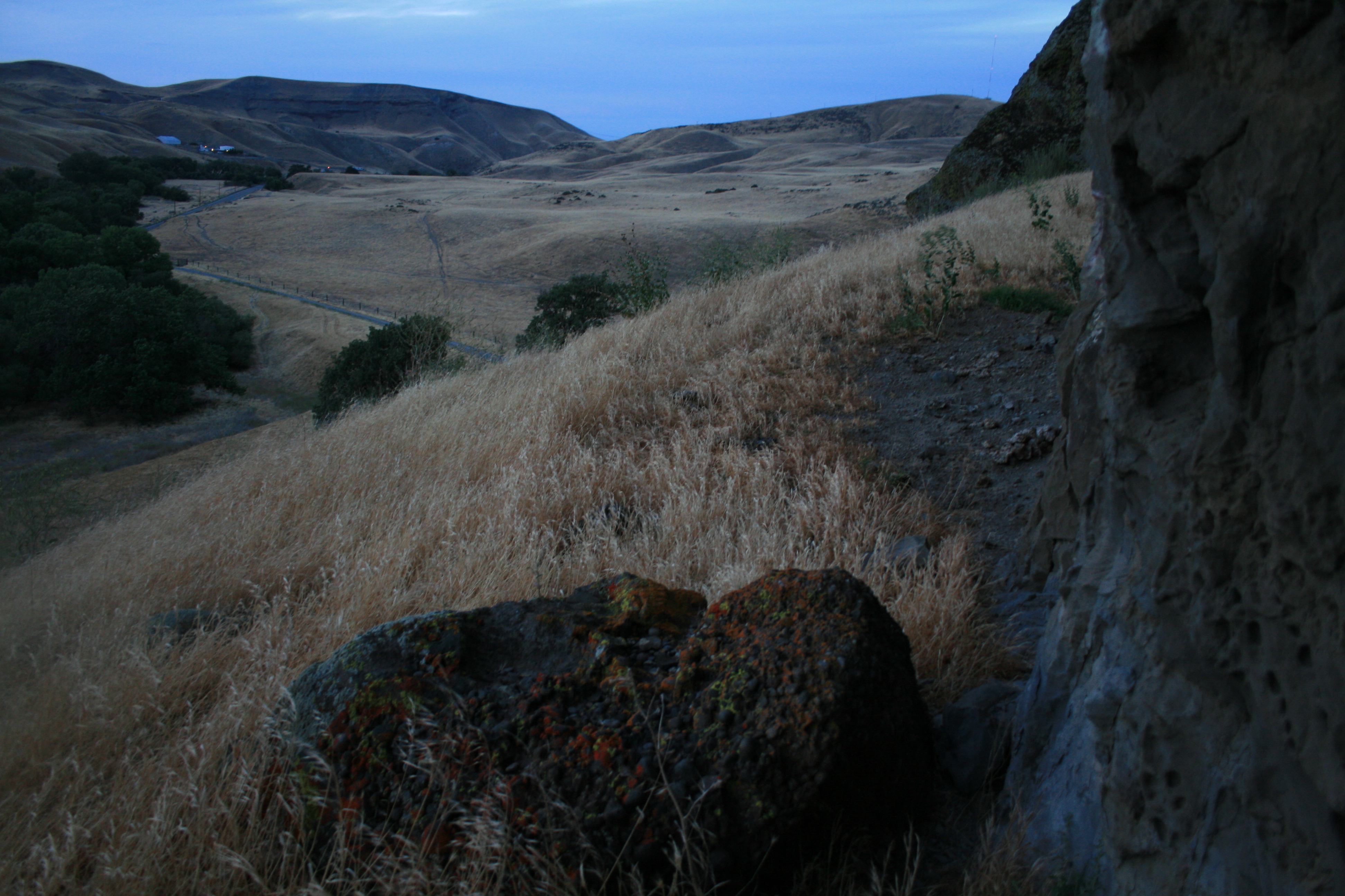
Tub View

Brichetto Tomb Nº 1
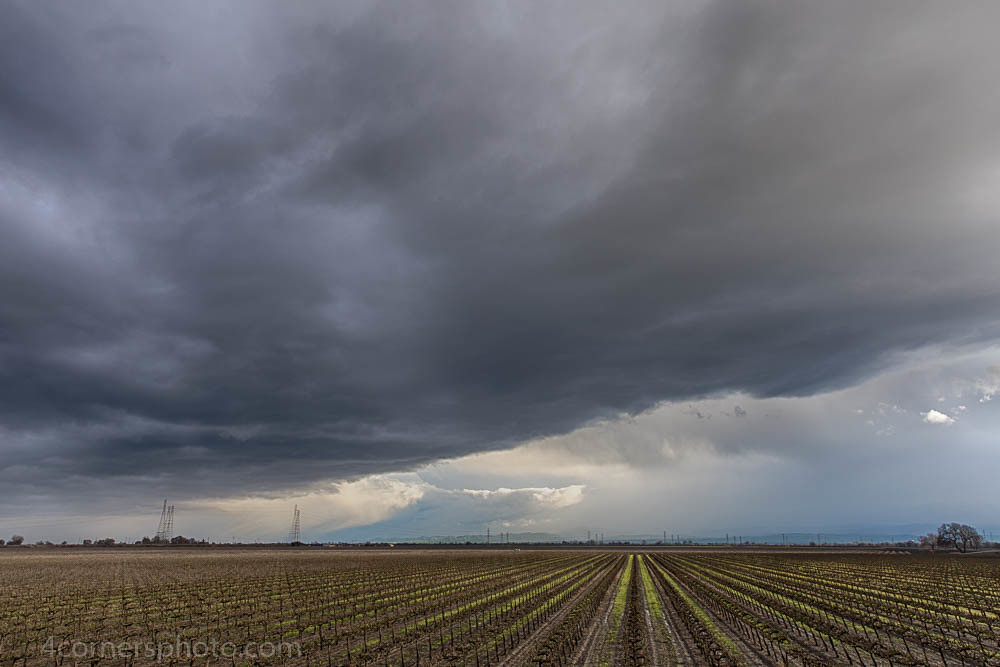
Thunderstorm and Vineyard, San Joaquin County, CA
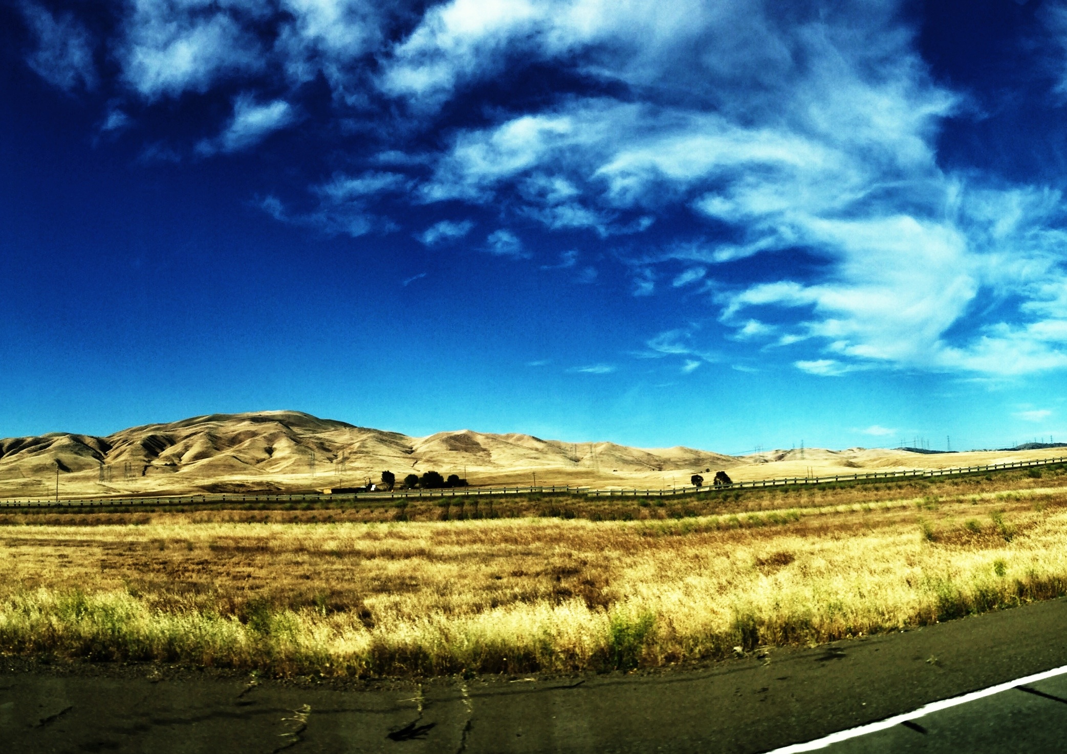
I-5 Drylands
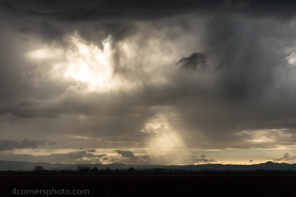
Crepuscular Rays, San Joaquin County, CA
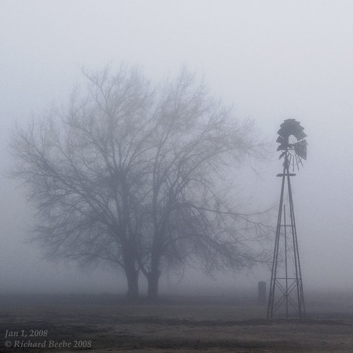
RB_01-01-08_057sq_windmill

Autumn Thunderstorm, San Joaquin County, CA

Electric Tower and Twilight, San Joaquin County, CA
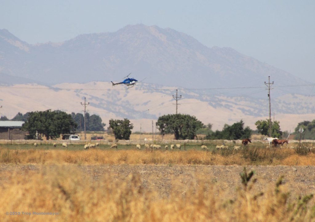
Crop Duster and Mount Diablo, CA
junjul2009 146

Sunset, Mount Diablo, CA
On The Way Home no. 2

hills of western Stanislaus County, July 1, 2007
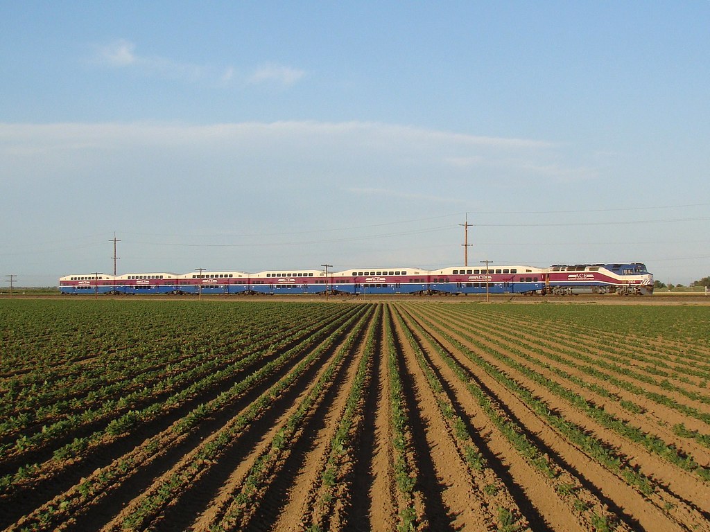
ACE 8
Mar 23, 2009

On the road again.
junjul2009 145
Lathrop, CA

Another Sunrise

Lathrop, CA
junjul2009 142

Lathrop, CA
Topographic Map of S Bird Rd, Tracy, CA, USA
Find elevation by address:

Places near S Bird Rd, Tracy, CA, USA:
Banta Rd, Tracy, CA, USA
5151 California Ave
24126 Cabe Rd
Tracy Defense Distribution Depot
2669 Atherton Ct
2191 Erie Ct
Paradise Cut
Tracy High School
338 E Lowell Ave
W Linne Rd, Tracy, CA, USA
925 Amaretto Dr
251 De Bord Dr
Tracy
512 Quail Run Cir
501 S Manthey Rd
55 E Deerwood Ln
Kasson Road
785 Independence Dr
328 W Beverly Pl
703 Williamson Rd
Recent Searches:
- Elevation of Felindre, Swansea SA5 7LU, UK
- Elevation of Leyte Industrial Development Estate, Isabel, Leyte, Philippines
- Elevation of W Granada St, Tampa, FL, USA
- Elevation of Pykes Down, Ivybridge PL21 0BY, UK
- Elevation of Jalan Senandin, Lutong, Miri, Sarawak, Malaysia
- Elevation of Bilohirs'k
- Elevation of 30 Oak Lawn Dr, Barkhamsted, CT, USA
- Elevation of Luther Road, Luther Rd, Auburn, CA, USA
- Elevation of Unnamed Road, Respublika Severnaya Osetiya — Alaniya, Russia
- Elevation of Verkhny Fiagdon, North Ossetia–Alania Republic, Russia