Elevation of Center, KS, USA
Location: United States > Kansas > Wilson County >
Longitude: -95.803743
Latitude: 37.5069956
Elevation: 274m / 899feet
Barometric Pressure: 98KPa
Elevation Map:
Satellite Map:
Related Photos:

Side View: Branch of Fall Creek

Grain Elevator at Fredonia

Grain Elevator at Fredonia

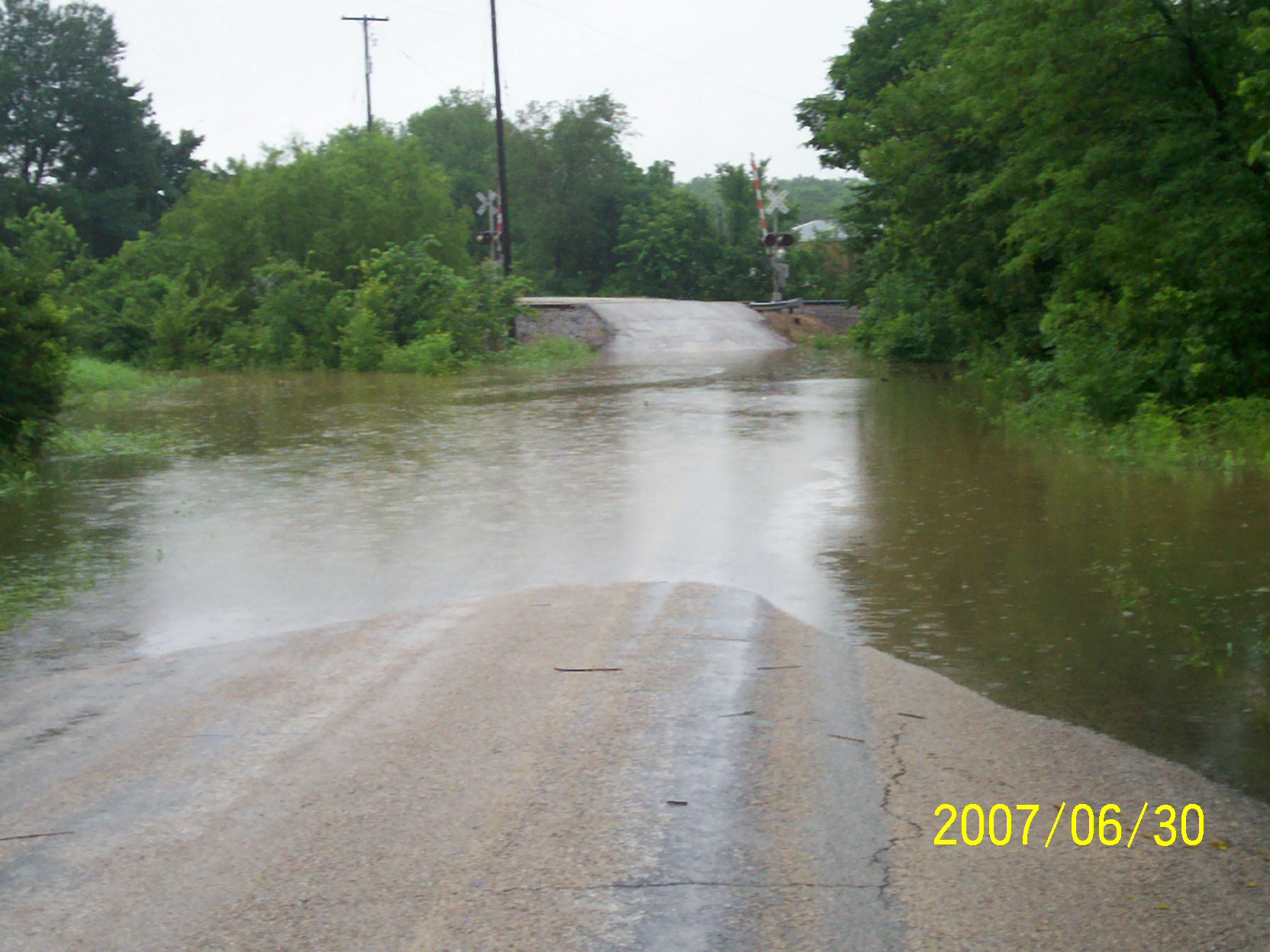
second day of flooding

second day of flooding

Wind Mill on Highway 47
second day of flooding

Wind Mill on Highway 47

second day of flooding

Wind Mill on Highway 47

first day of flooding

Wind Mill on Highway 47

Wide Open Sky
Topographic Map of Center, KS, USA
Find elevation by address:

Places near Center, KS, USA:
Fredonia Rotary Park
233 N 16th St
Fredonia Junior Senior High School
N 7th St, Fredonia, KS, USA
Fredonia
The Edge
310 Washington St
310 Washington St
303 Washington St
103 S 2nd St
329 N 3rd St
103 Jefferson St
310 Madison St
Fredonia Outdoor Equipment
9519 Marion Rd
Wilson County
8740 1500 Rd
Prairie
Porter Crop Insurance
Fall River
Recent Searches:
- Elevation of Elwyn Dr, Roanoke Rapids, NC, USA
- Elevation of Congressional Dr, Stevensville, MD, USA
- Elevation of Bellview Rd, McLean, VA, USA
- Elevation of Stage Island Rd, Chatham, MA, USA
- Elevation of Shibuya Scramble Crossing, 21 Udagawacho, Shibuya City, Tokyo -, Japan
- Elevation of Jadagoniai, Kaunas District Municipality, Lithuania
- Elevation of Pagonija rock, Kranto 7-oji g. 8"N, Kaunas, Lithuania
- Elevation of Co Rd 87, Jamestown, CO, USA
- Elevation of Tenjo, Cundinamarca, Colombia
- Elevation of Côte-des-Neiges, Montreal, QC H4A 3J6, Canada