Elevation of Washington St, Fredonia, KS, USA
Location: United States > Kansas > Wilson County > Fredonia >
Longitude: -95.832210
Latitude: 37.5305433
Elevation: 267m / 876feet
Barometric Pressure: 98KPa
Elevation Map:
Satellite Map:
Related Photos:

Side View: Branch of Fall Creek

Wind Mill on Highway 47

Wind Mill on Highway 47

Wide Open Sky

Wind Mill on Highway 47

second day of flooding

Along old Highway 54

first day of flooding

second day of flooding

Along old Highway 54

second day of flooding

first day of flooding
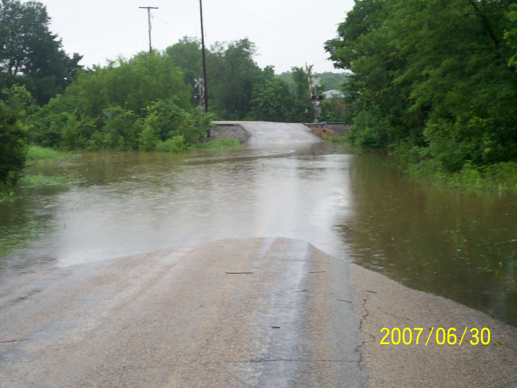
second day of flooding

Grain Elevator at Fredonia

second day of flooding
Topographic Map of Washington St, Fredonia, KS, USA
Find elevation by address:

Places near Washington St, Fredonia, KS, USA:
310 Washington St
310 Washington St
103 S 2nd St
329 N 3rd St
103 Jefferson St
The Edge
Fredonia
N 7th St, Fredonia, KS, USA
310 Madison St
Fredonia Junior Senior High School
Fredonia Rotary Park
Fredonia Outdoor Equipment
233 N 16th St
Center
Wilson County
8740 1500 Rd
Prairie
Porter Crop Insurance
Fall River
9519 Marion Rd
Recent Searches:
- Elevation of Kreuzburger Weg 13, Düsseldorf, Germany
- Elevation of Gateway Blvd SE, Canton, OH, USA
- Elevation of East W.T. Harris Boulevard, E W.T. Harris Blvd, Charlotte, NC, USA
- Elevation of West Sugar Creek, Charlotte, NC, USA
- Elevation of Wayland, NY, USA
- Elevation of Steadfast Ct, Daphne, AL, USA
- Elevation of Lagasgasan, X+CQH, Tiaong, Quezon, Philippines
- Elevation of Rojo Ct, Atascadero, CA, USA
- Elevation of Flagstaff Drive, Flagstaff Dr, North Carolina, USA
- Elevation of Avery Ln, Lakeland, FL, USA