Elevation of Wilson County, KS, USA
Location: United States > Kansas >
Longitude: -95.814288
Latitude: 37.5808413
Elevation: 261m / 856feet
Barometric Pressure: 98KPa
Elevation Map:
Satellite Map:
Related Photos:

End of the Chase
Side View: Branch of Fall Creek

More Dead Memories

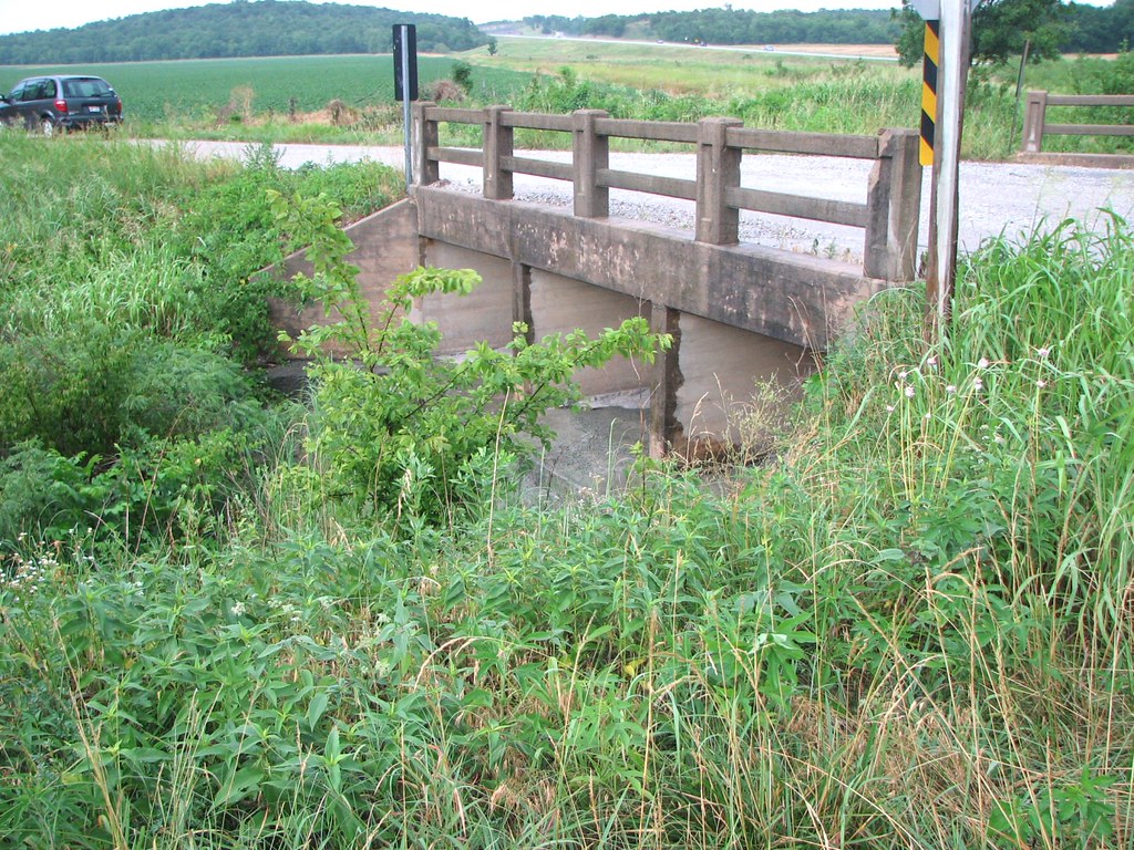
Along old Highway 54
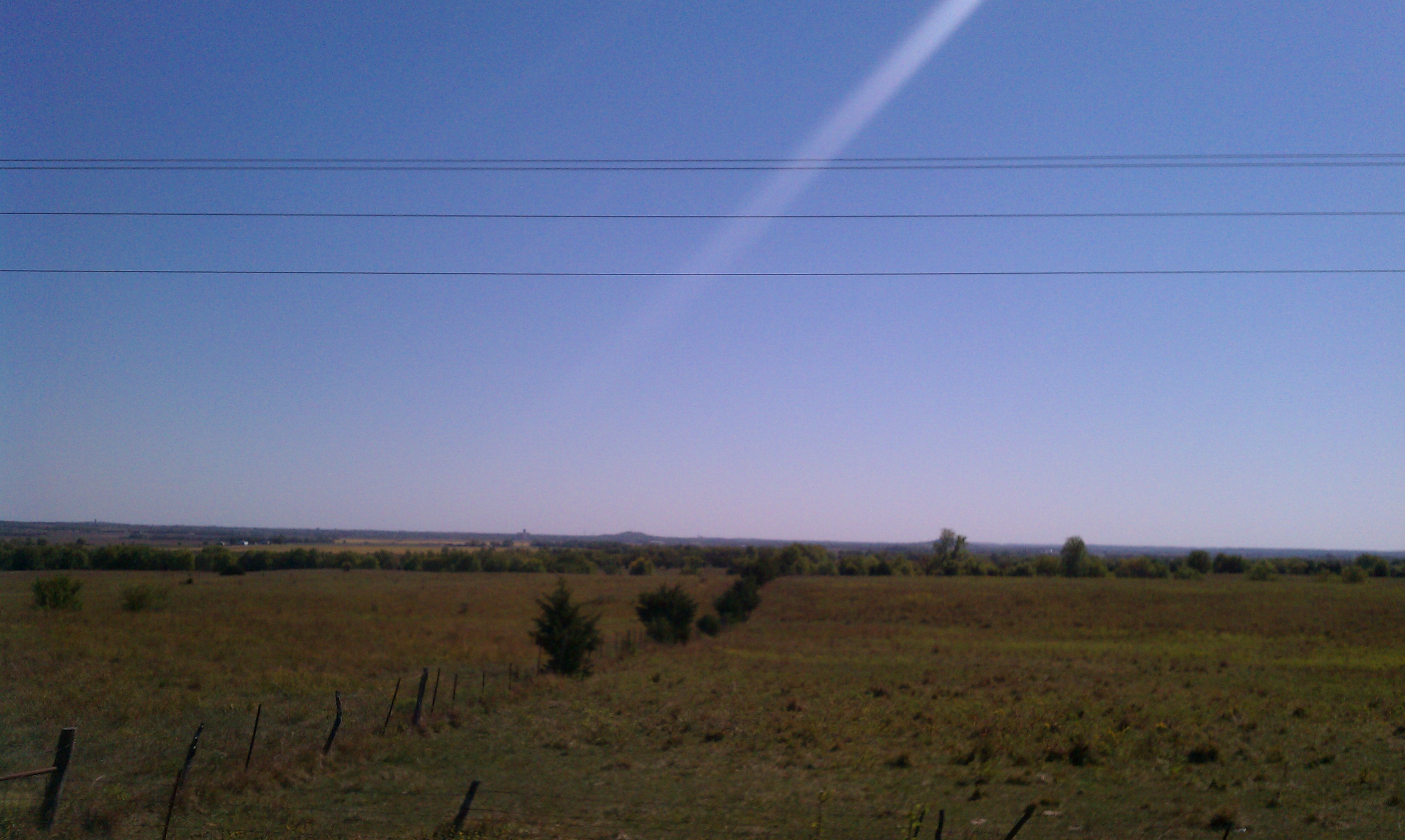
Wide Open Sky

Wind Mill on Highway 47

Wind Mill on Highway 47
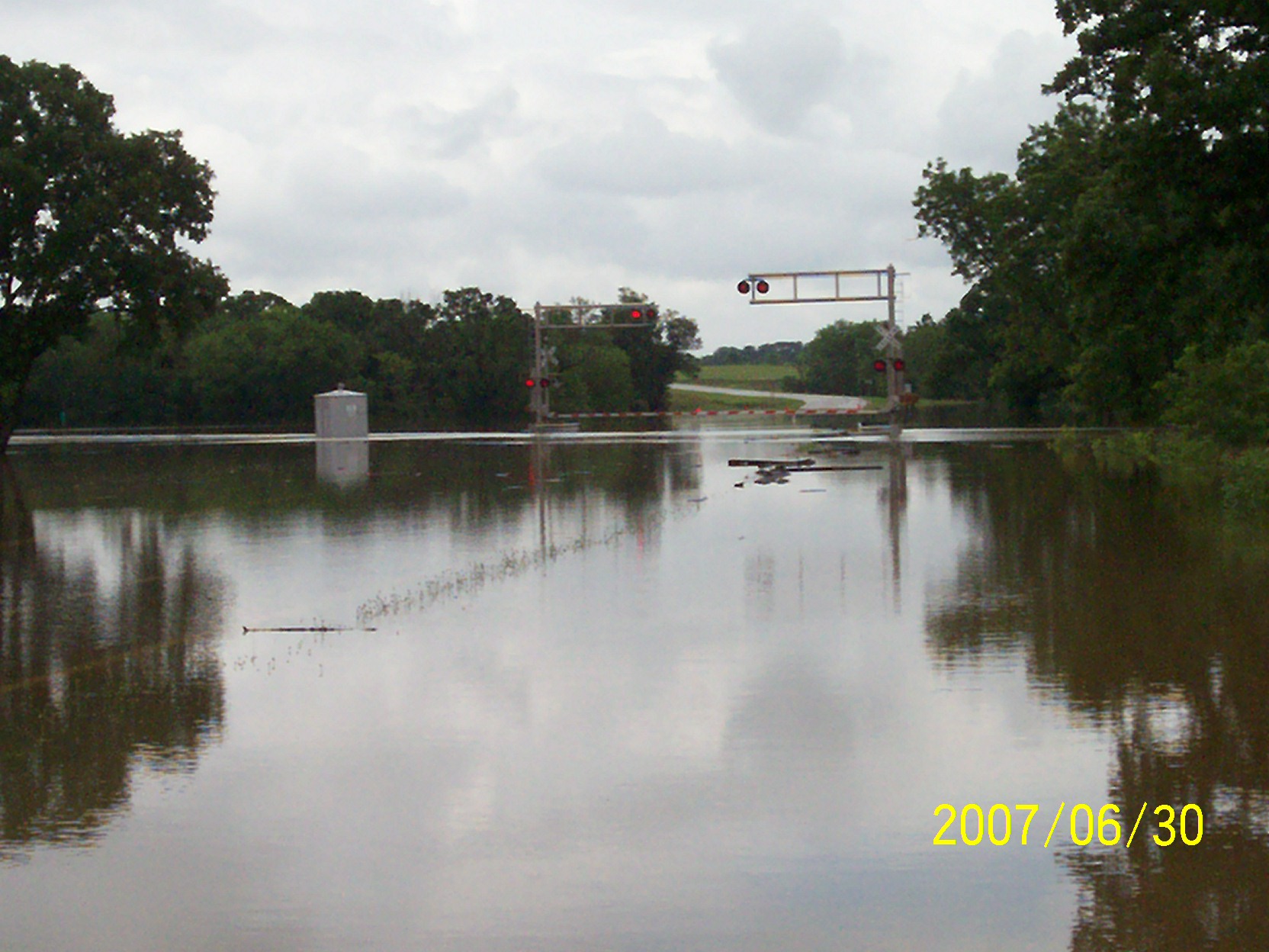
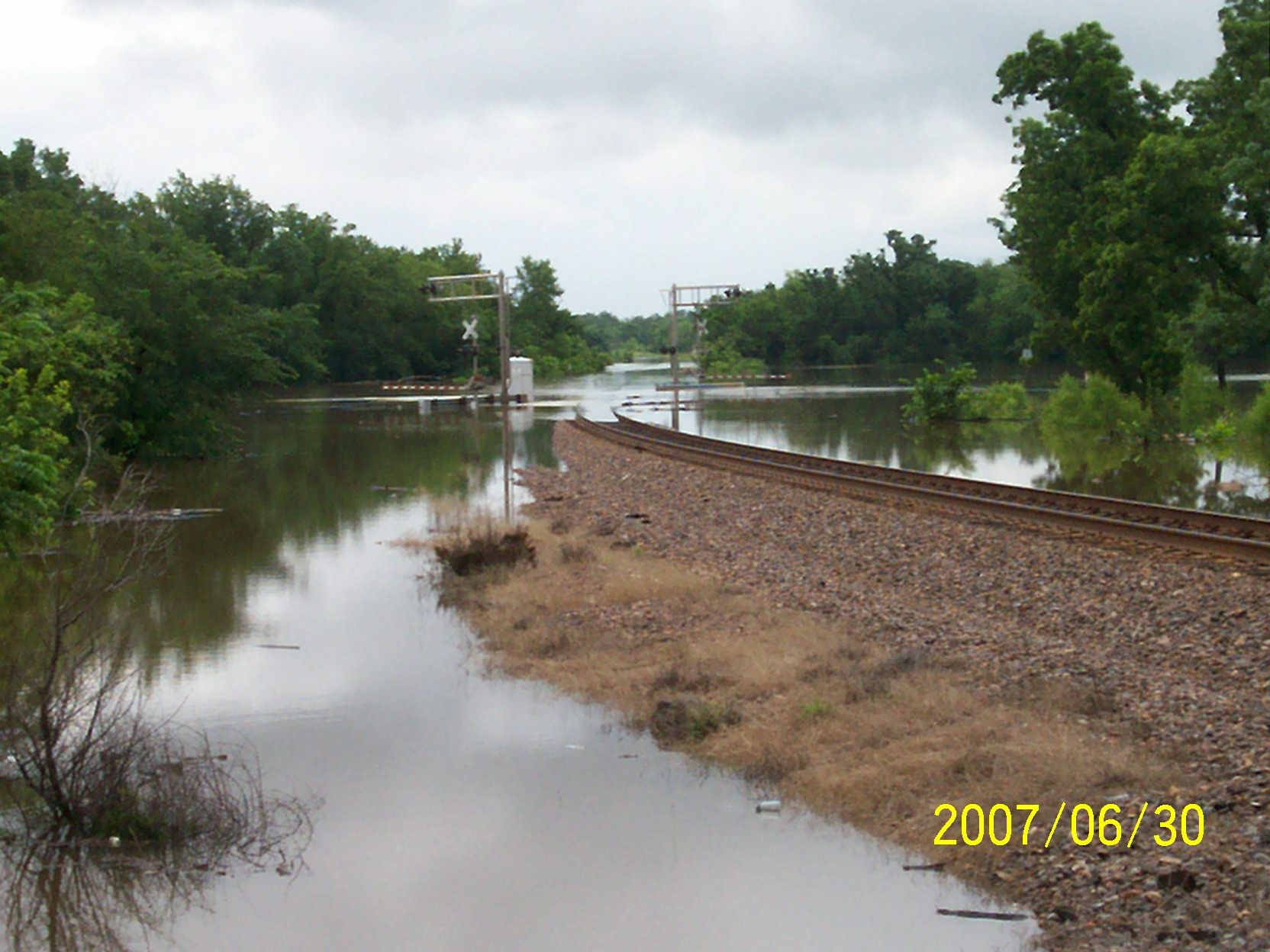
second day of flooding
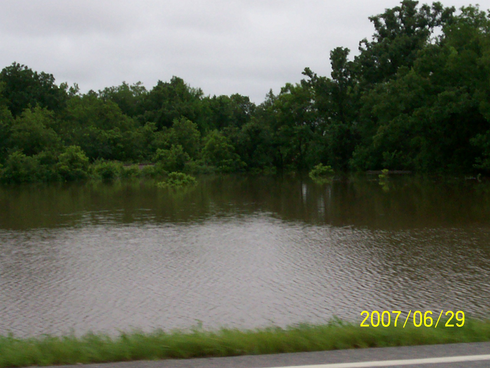
first day of flooding

Wind Mill on Highway 47
second day of flooding
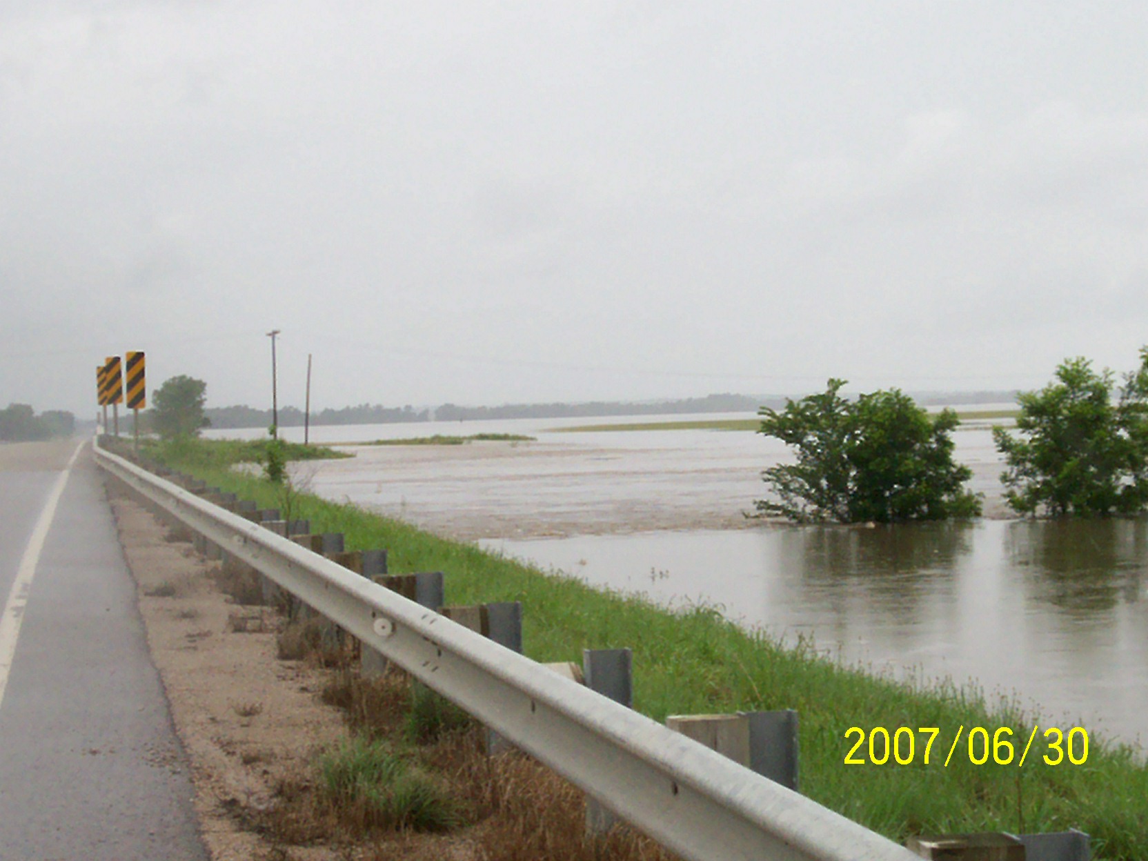
second day of flooding
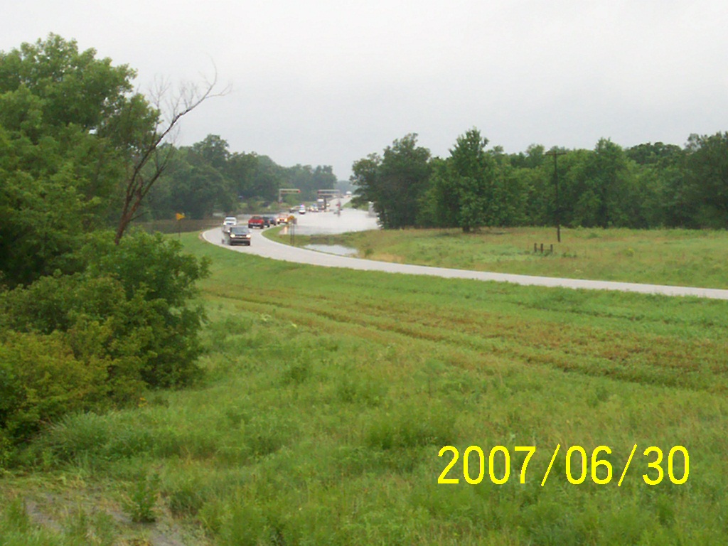
second day of flooding
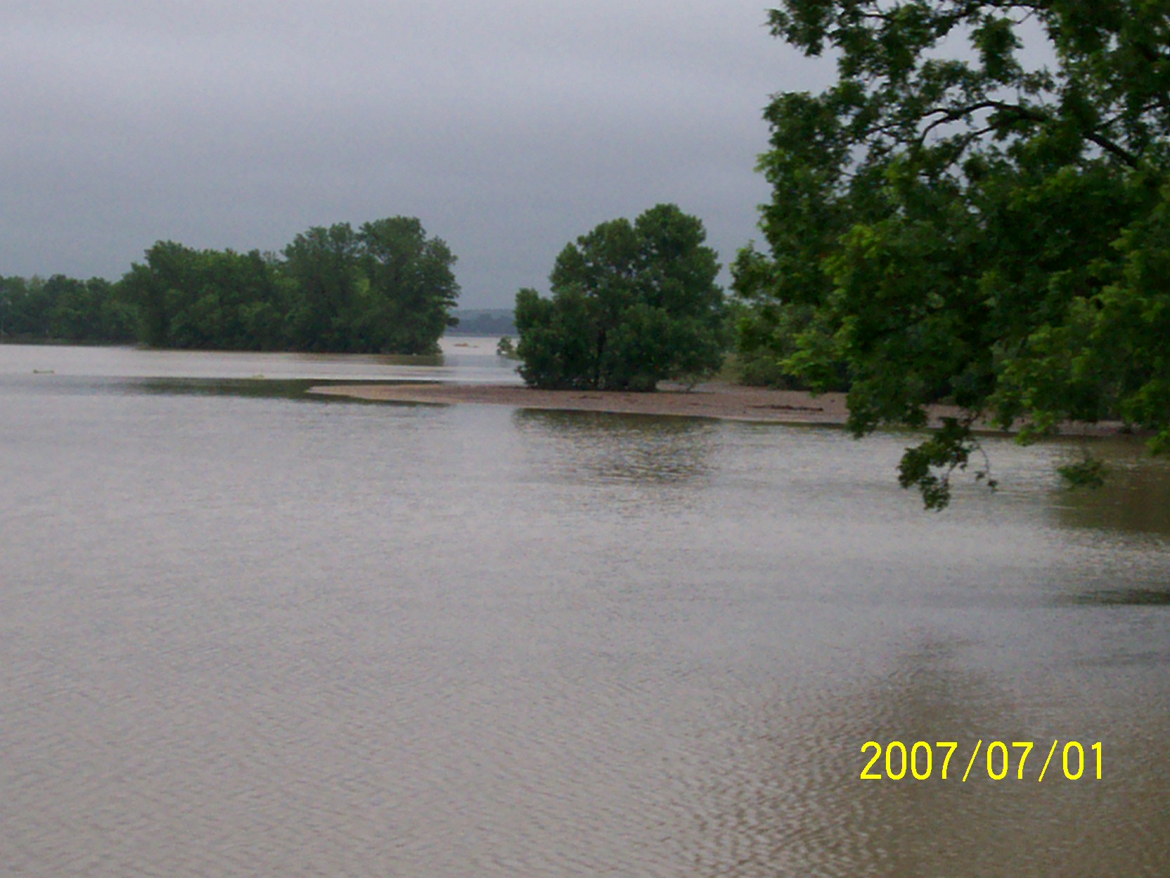
flood waters going down
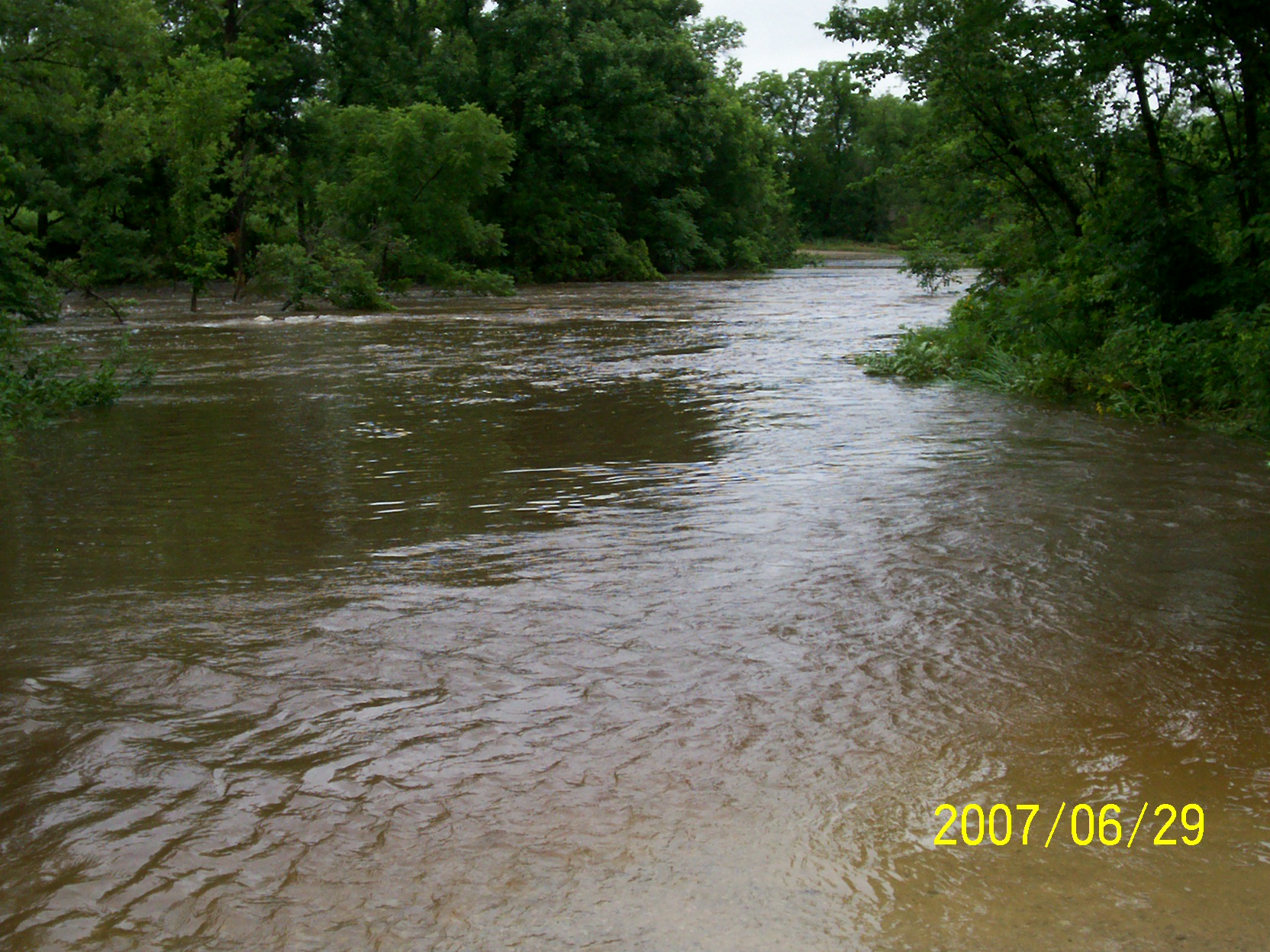
first day of flooding

Grain Elevator at Fredonia

Grain Elevator at Fredonia
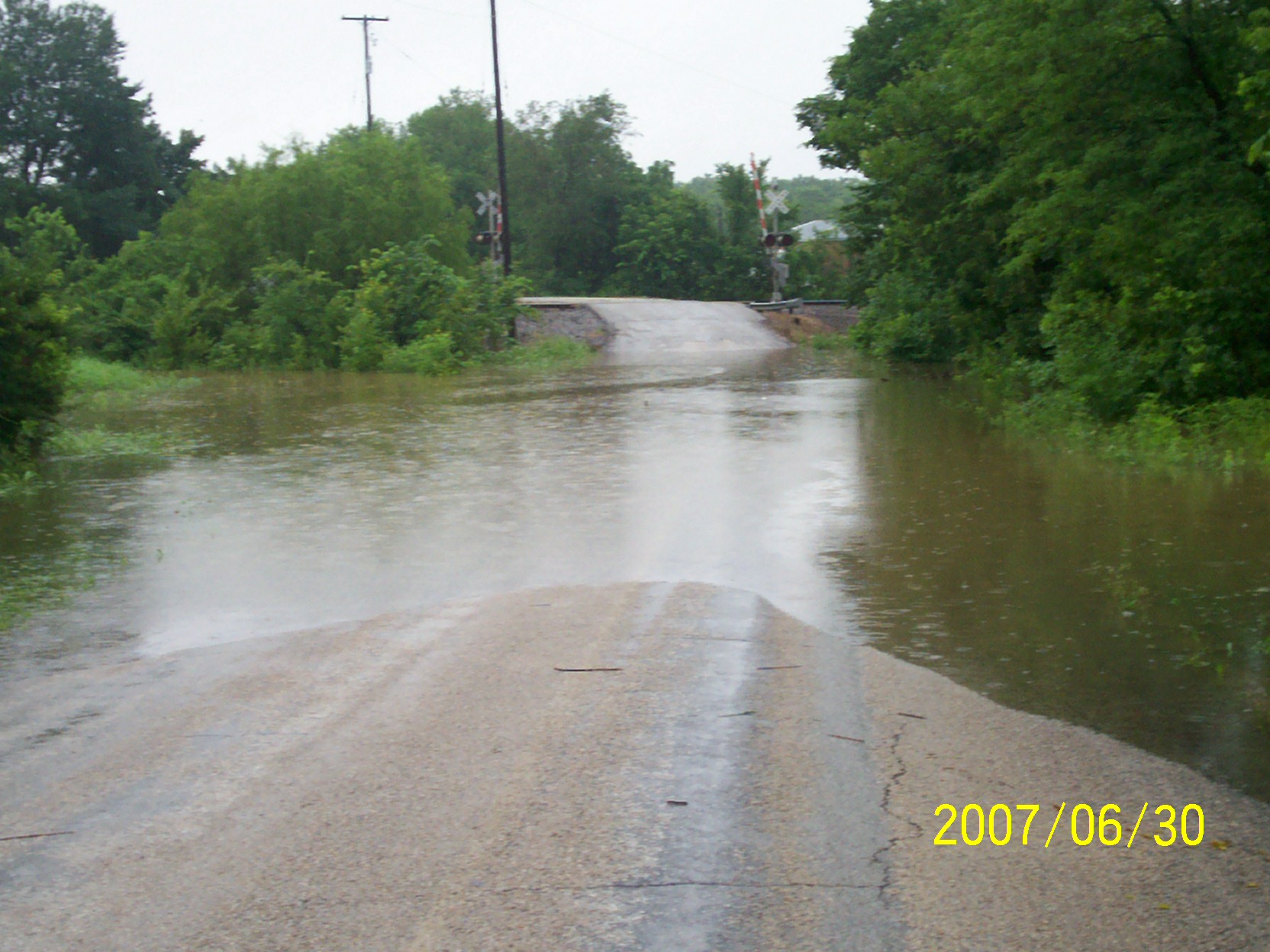
second day of flooding
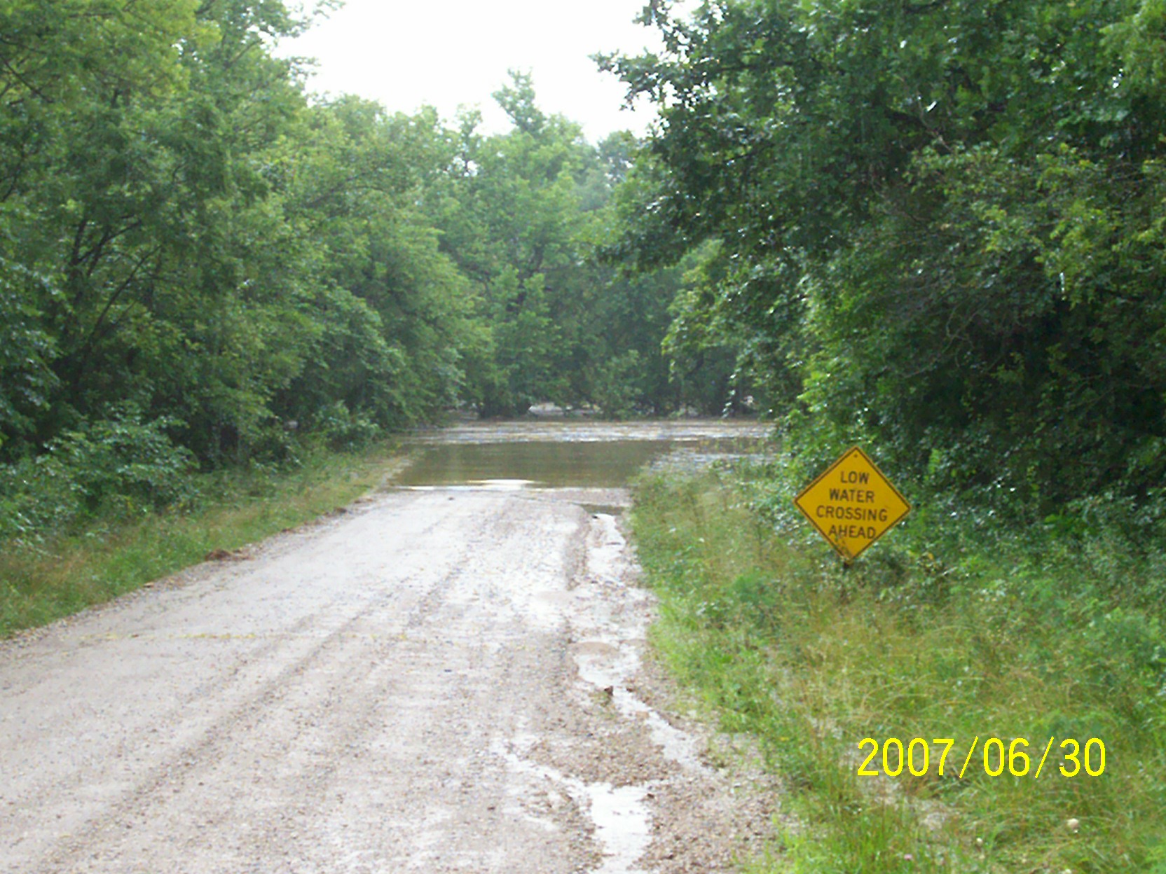
second day of flooding

second day of flooding
Topographic Map of Wilson County, KS, USA
Find elevation by address:

Places in Wilson County, KS, USA:
Places near Wilson County, KS, USA:
8740 1500 Rd
Prairie
Porter Crop Insurance
Fredonia Outdoor Equipment
N 7th St, Fredonia, KS, USA
Fredonia
The Edge
233 N 16th St
329 N 3rd St
Fredonia Junior Senior High School
103 Jefferson St
303 Washington St
103 S 2nd St
310 Madison St
Fredonia Rotary Park
310 Washington St
310 Washington St
Center
9519 Marion Rd
Fall River
Recent Searches:
- Elevation of Felindre, Swansea SA5 7LU, UK
- Elevation of Leyte Industrial Development Estate, Isabel, Leyte, Philippines
- Elevation of W Granada St, Tampa, FL, USA
- Elevation of Pykes Down, Ivybridge PL21 0BY, UK
- Elevation of Jalan Senandin, Lutong, Miri, Sarawak, Malaysia
- Elevation of Bilohirs'k
- Elevation of 30 Oak Lawn Dr, Barkhamsted, CT, USA
- Elevation of Luther Road, Luther Rd, Auburn, CA, USA
- Elevation of Unnamed Road, Respublika Severnaya Osetiya — Alaniya, Russia
- Elevation of Verkhny Fiagdon, North Ossetia–Alania Republic, Russia