Elevation of S 2nd St, Fredonia, KS, USA
Location: United States > Kansas > Wilson County > Fredonia >
Longitude: -95.833699
Latitude: 37.5307528
Elevation: -10000m / -32808feet
Barometric Pressure: 295KPa
Elevation Map:
Satellite Map:
Related Photos:

Side View: Branch of Fall Creek

Wind Mill on Highway 47

Wind Mill on Highway 47

Wide Open Sky

Wind Mill on Highway 47

second day of flooding

Along old Highway 54

first day of flooding

second day of flooding

Along old Highway 54

second day of flooding

first day of flooding
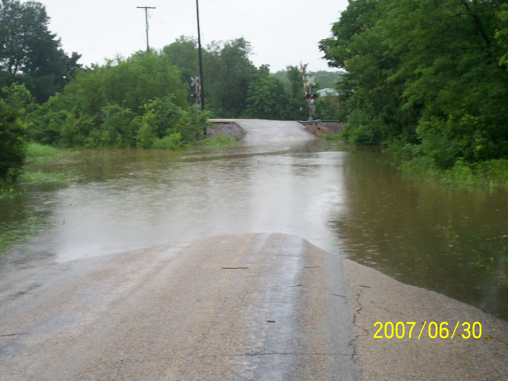
second day of flooding

Grain Elevator at Fredonia

second day of flooding
Topographic Map of S 2nd St, Fredonia, KS, USA
Find elevation by address:

Places near S 2nd St, Fredonia, KS, USA:
303 Washington St
310 Washington St
310 Washington St
103 Jefferson St
329 N 3rd St
The Edge
310 Madison St
Fredonia
N 7th St, Fredonia, KS, USA
Fredonia Junior Senior High School
Fredonia Outdoor Equipment
Fredonia Rotary Park
233 N 16th St
Center
Wilson County
8740 1500 Rd
Prairie
Porter Crop Insurance
Fall River
9519 Marion Rd
Recent Searches:
- Elevation of th Pl SE, Issaquah, WA, USA
- Elevation of 82- D Rd, Captain Cook, HI, USA
- Elevation of Harlow CM20 2PR, UK
- Elevation of Shenyang Agricultural University, Dong Ling Lu, Shen He Qu, Shen Yang Shi, Liao Ning Sheng, China
- Elevation of Alpha Dr, Melbourne, FL, USA
- Elevation of Hiroshima University, 1-chōme-3-2 Kagamiyama, Higashihiroshima, Hiroshima -, Japan
- Elevation of Bernina Dr, Lake Arrowhead, CA, USA
- Elevation of N 82nd Pl, Mesa, AZ, USA
- Elevation of Snake Hill Rd, North Scituate, RI, USA
- Elevation of Lake Shore Dr, Warwick, RI, USA