Elevation of CCC Trail, Morehead, KY, USA
Location: United States > Kentucky > Rowan County > Morehead >
Longitude: -83.288125
Latitude: 38.18409
Elevation: 309m / 1014feet
Barometric Pressure: 98KPa
Elevation Map:
Satellite Map:
Related Photos:

Chesapeake & Ohio Railway, Kentucky, Morehead

Engine Engine # 9

Chesapeake & Ohio Railway, Kentucky, Morehead

Sellers Airfield Panorama

The View, again...

The View

Police Checkpoint

I Said Go

The Old Swimmin' Hole

Sellers Airfield

Steagall Cemetary - Lost Hills Rd

Rodburn park fire panorama

The decent into Morehead off the Sheltowee Trace Trail . This one would have my brakes literally smoking.

The decent into Morehead off the Sheltowee Trace Trail . This one would have my brakes literally smoking.

Sheltowee Trace Trail

Mt. Lockegee Panorama

Mt. Lockegee, Clearfield, KY

Lake trail
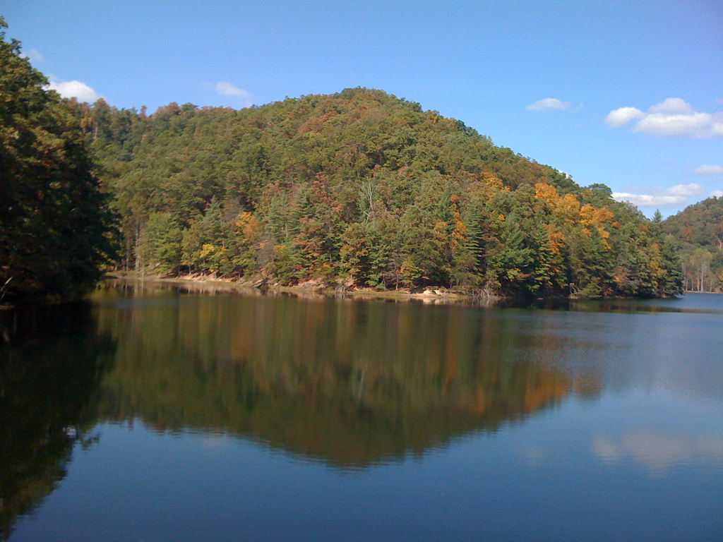
MSU Lake

En Route to West Virginia

MVC-295F
Topographic Map of CCC Trail, Morehead, KY, USA
Find elevation by address:

Places near CCC Trail, Morehead, KY, USA:
1605 Rosedale Rd
81 Hemlock Ln
Conn Rd, Morehead, KY, USA
330 Withrow Mountain Rd
130 Withrow Mountain Rd
State Hwy, Olive Hill, KY, USA
195 Bearskin Hollow
2071 Trent Ridge Rd
9116 State Hwy 711
US-60, Olive Hill, KY, USA
Lakeview Heights, KY, USA
E Main St, Morehead, KY, USA
Turkey Branch Road
Spanglin
Tarkiln Creek Road
Cr-, Olive Hill, KY, USA
Morehead State University
Morehead
2110 Rose Ridge Rd
Turkey Branch Road
Recent Searches:
- Elevation of 24 Oakland Rd #, Scotland, ON N0E 1R0, Canada
- Elevation of Deep Gap Farm Rd E, Mill Spring, NC, USA
- Elevation of Dog Leg Dr, Minden, NV, USA
- Elevation of Dog Leg Dr, Minden, NV, USA
- Elevation of Kambingan Sa Pansol Atbp., Purok 7 Pansol, Candaba, Pampanga, Philippines
- Elevation of Pinewood Dr, New Bern, NC, USA
- Elevation of Mountain View, CA, USA
- Elevation of Foligno, Province of Perugia, Italy
- Elevation of Blauwestad, Netherlands
- Elevation of Bella Terra Blvd, Estero, FL, USA