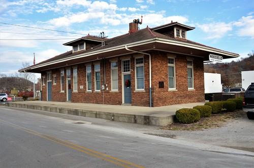
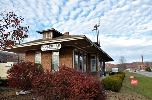
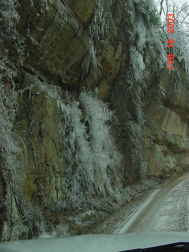
Elevation of Withrow Mountain Rd, Morehead, KY, USA
Location: United States > Kentucky > Rowan County >
Longitude: -83.303170
Latitude: 38.1316036
Elevation: 276m / 906feet
Barometric Pressure: 98KPa
Related Photos:
Topographic Map of Withrow Mountain Rd, Morehead, KY, USA
Find elevation by address:

Places near Withrow Mountain Rd, Morehead, KY, USA:
330 Withrow Mountain Rd
1605 Rosedale Rd
81 Hemlock Ln
Conn Rd, Morehead, KY, USA
9116 State Hwy 711
550 Ccc Trail
2071 Trent Ridge Rd
State Hwy, Olive Hill, KY, USA
Spanglin
Turkey Branch Road
195 Bearskin Hollow
KY-7, West Liberty, KY, USA
Blaze Rd, West Liberty, KY, USA
11610 Ky-7
Turkey Branch Road
4907 Ky-7
E Main St, Morehead, KY, USA
Morehead
Morehead State University
Lakeview Heights, KY, USA
Recent Searches:
- Elevation of Fern Rd, Whitmore, CA, USA
- Elevation of 62 Abbey St, Marshfield, MA, USA
- Elevation of Fernwood, Bradenton, FL, USA
- Elevation of Felindre, Swansea SA5 7LU, UK
- Elevation of Leyte Industrial Development Estate, Isabel, Leyte, Philippines
- Elevation of W Granada St, Tampa, FL, USA
- Elevation of Pykes Down, Ivybridge PL21 0BY, UK
- Elevation of Jalan Senandin, Lutong, Miri, Sarawak, Malaysia
- Elevation of Bilohirs'k
- Elevation of 30 Oak Lawn Dr, Barkhamsted, CT, USA
