Elevation of State Hwy, Olive Hill, KY, USA
Location: United States > Kentucky > Carter County > Olive Hill >
Longitude: -83.232019
Latitude: 38.1951508
Elevation: 370m / 1214feet
Barometric Pressure: 97KPa
Elevation Map:
Satellite Map:
Related Photos:
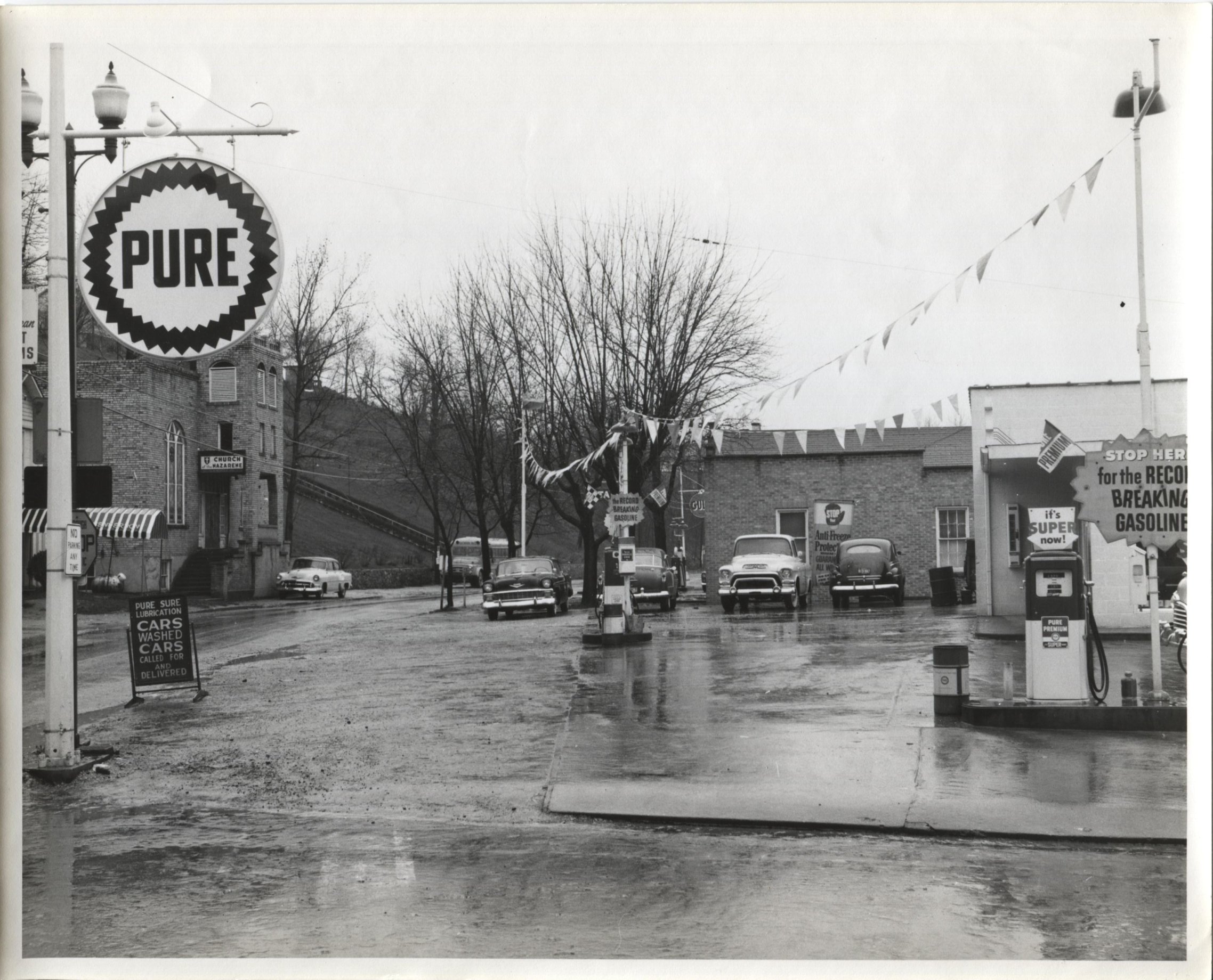
Jack Waggoner Pure Oil Station - Olive Hill KY

The View, again...
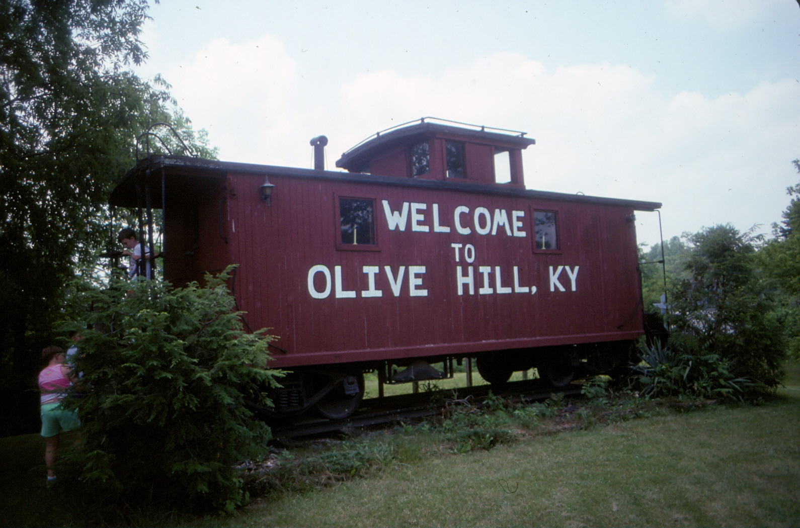
Chesapeake & Ohio Caboose - Olive Hill, KY - 9210A-30

Police Checkpoint
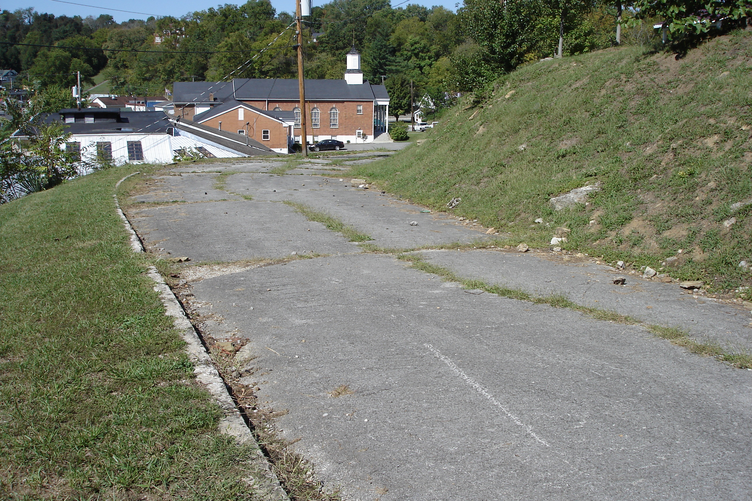
US 60 - Original Alignment - Olive Hill, KY - DSC01095

Sellers Airfield Panorama

The View
The Old Swimmin' Hole

6-6-15 076

MVC-295F
En Route to West Virginia

To Wolf Gap West Virginia

Sellers Airfield

Steagall Cemetary - Lost Hills Rd

Rodburn park fire panorama

6-6-15 067
Topographic Map of State Hwy, Olive Hill, KY, USA
Find elevation by address:

Places near State Hwy, Olive Hill, KY, USA:
2071 Trent Ridge Rd
550 Ccc Trail
Conn Rd, Morehead, KY, USA
Tarkiln Creek Road
1605 Rosedale Rd
US-60, Olive Hill, KY, USA
130 Withrow Mountain Rd
330 Withrow Mountain Rd
504 Volunteer Fire Department
195 Bearskin Hollow
81 Hemlock Ln
9116 State Hwy 711
Cr-, Olive Hill, KY, USA
Elliott County
Olive Hill
Turkey Branch Road
Spanglin
Old U.S. 60, Olive Hill, KY, USA
Turkey Branch Road
2110 Rose Ridge Rd
Recent Searches:
- Elevation of 15th Ave SE, St. Petersburg, FL, USA
- Elevation of Beall Road, Beall Rd, Florida, USA
- Elevation of Leguwa, Nepal
- Elevation of County Rd, Enterprise, AL, USA
- Elevation of Kolchuginsky District, Vladimir Oblast, Russia
- Elevation of Shustino, Vladimir Oblast, Russia
- Elevation of Lampiasi St, Sarasota, FL, USA
- Elevation of Elwyn Dr, Roanoke Rapids, NC, USA
- Elevation of Congressional Dr, Stevensville, MD, USA
- Elevation of Bellview Rd, McLean, VA, USA