Elevation of Cavendish, ID, USA
Location: United States > Idaho > Nez Perce County > Lenore >
Longitude: -116.43403
Latitude: 46.5601764
Elevation: 901m / 2956feet
Barometric Pressure: 91KPa
Elevation Map:
Satellite Map:
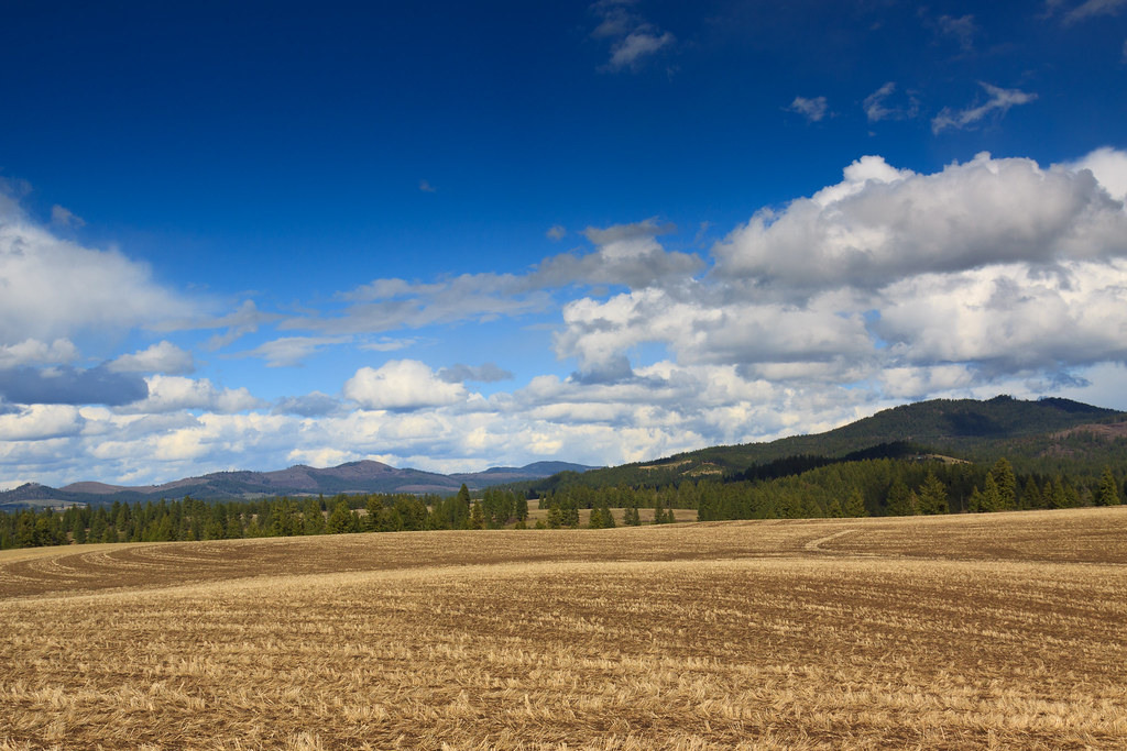
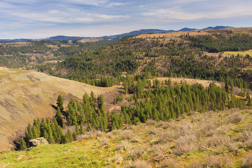
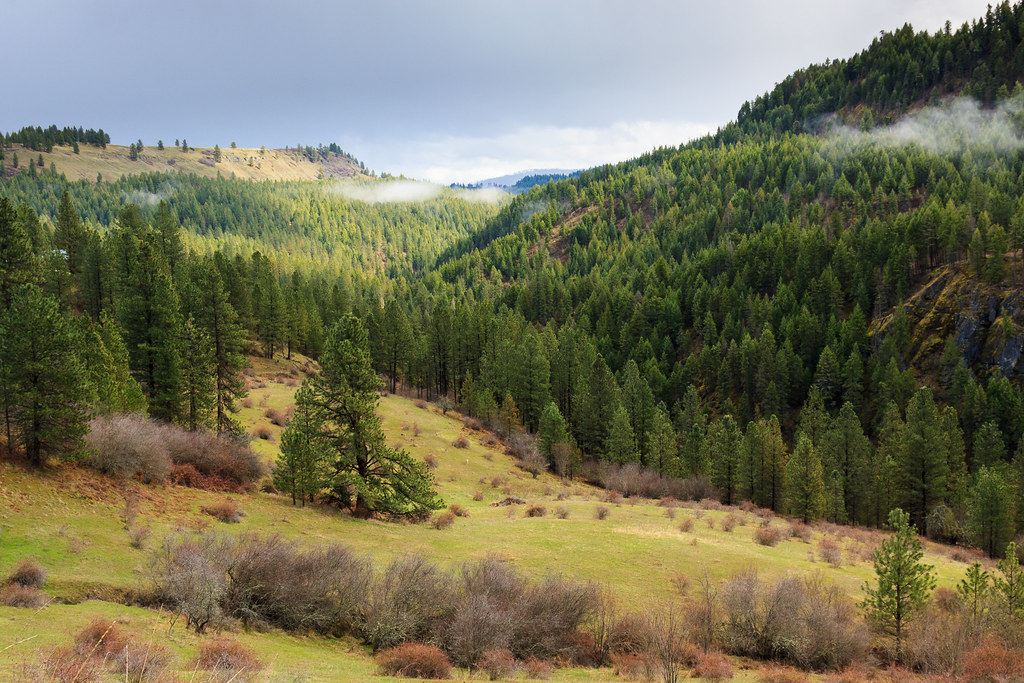
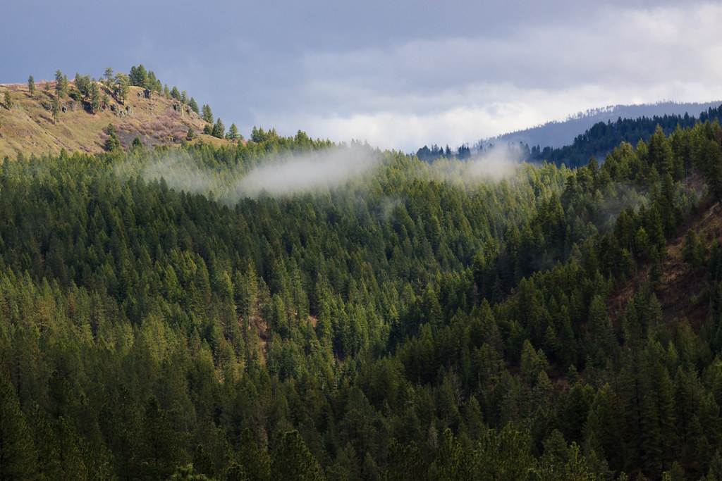
Related Photos:

Dworshak Dam
Views from Gold Hill Cemetery

Train Crossing
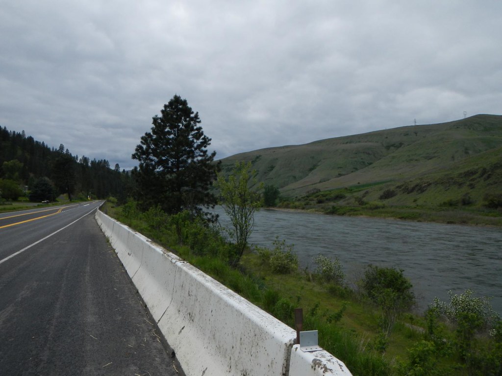
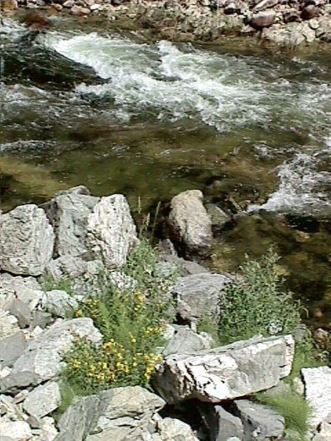
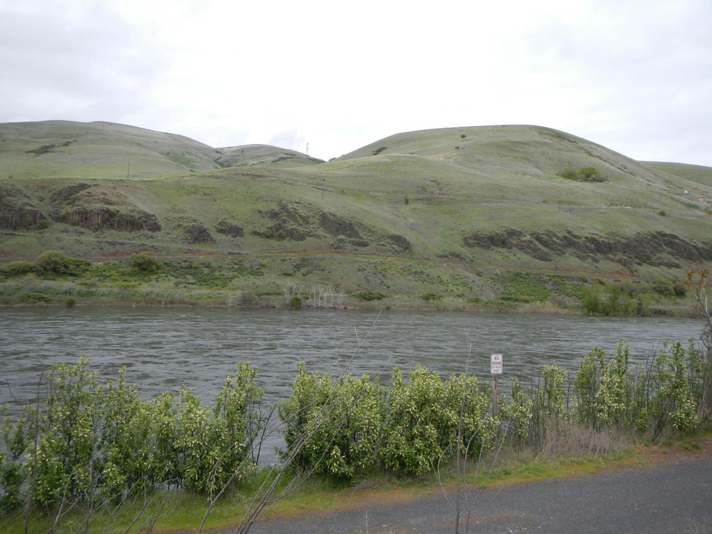
Potlatch River Canyon

Up the road
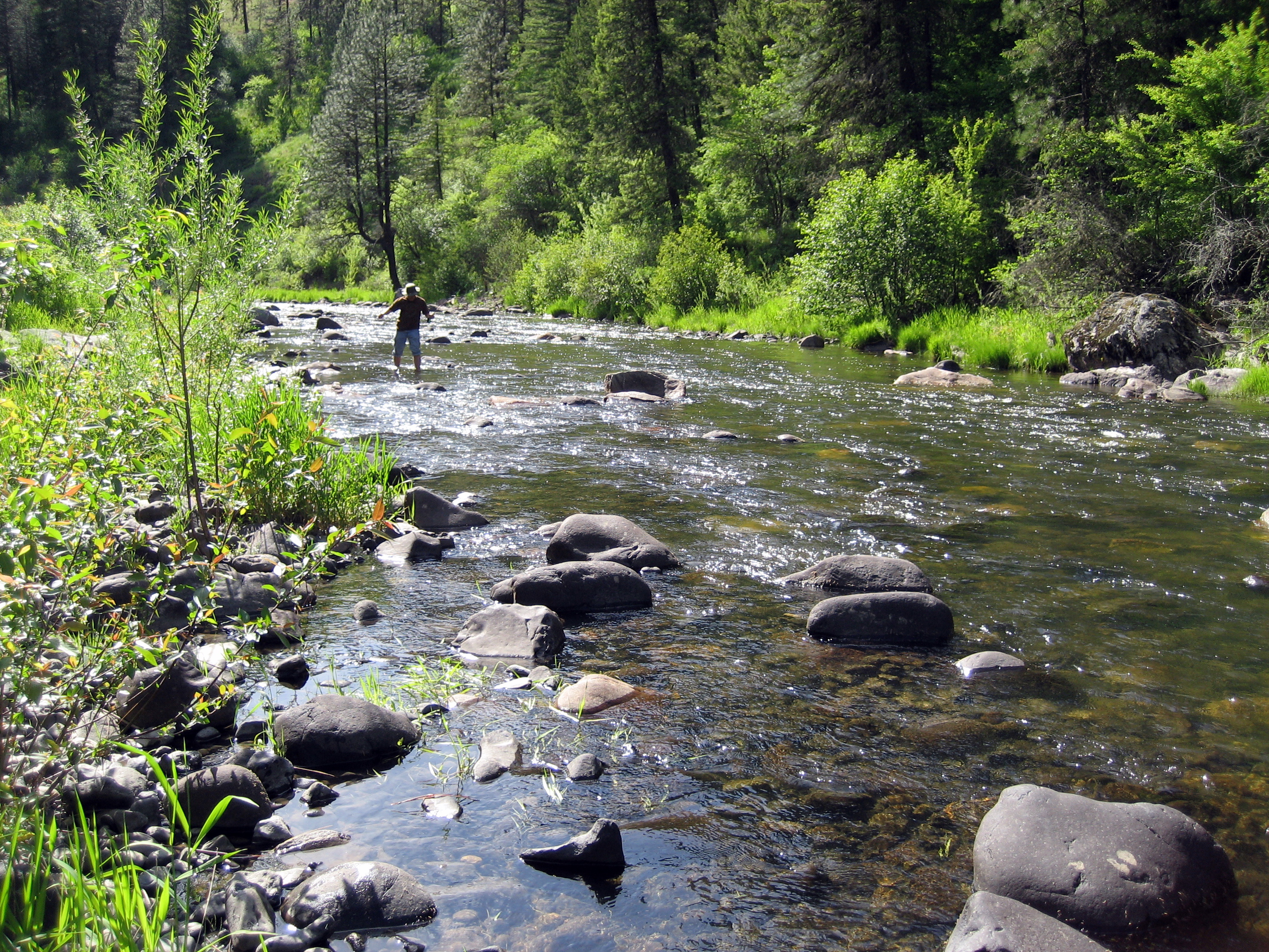
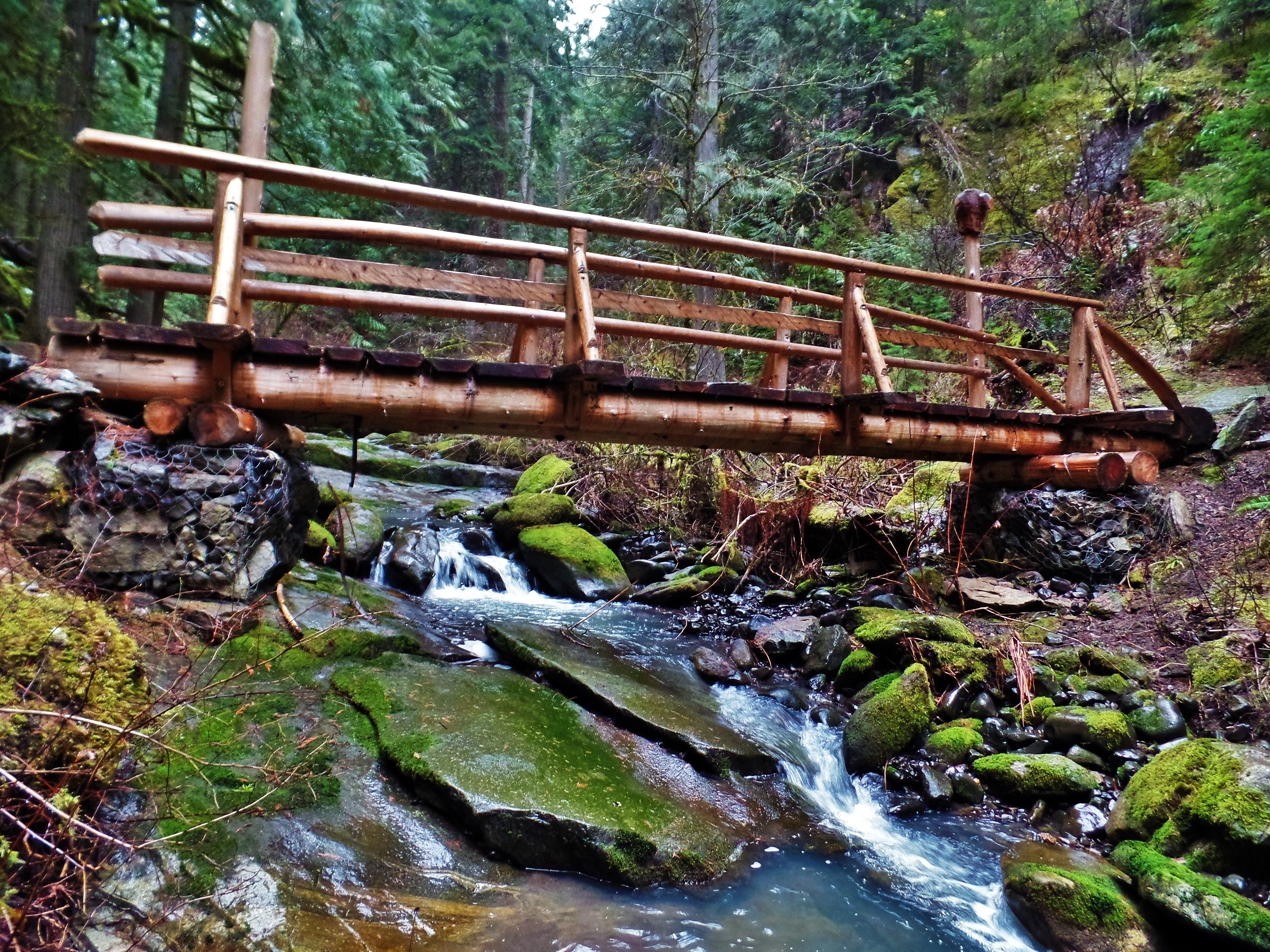
Cedar Creek Canyon
Cedar Creek Canyon
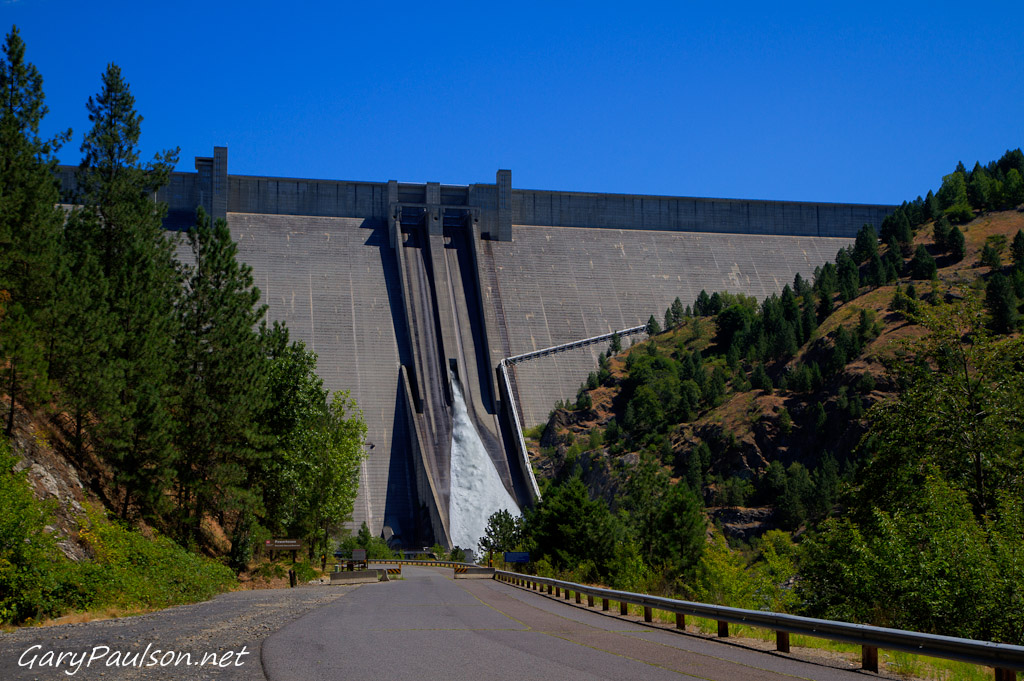
Dworshak Dam
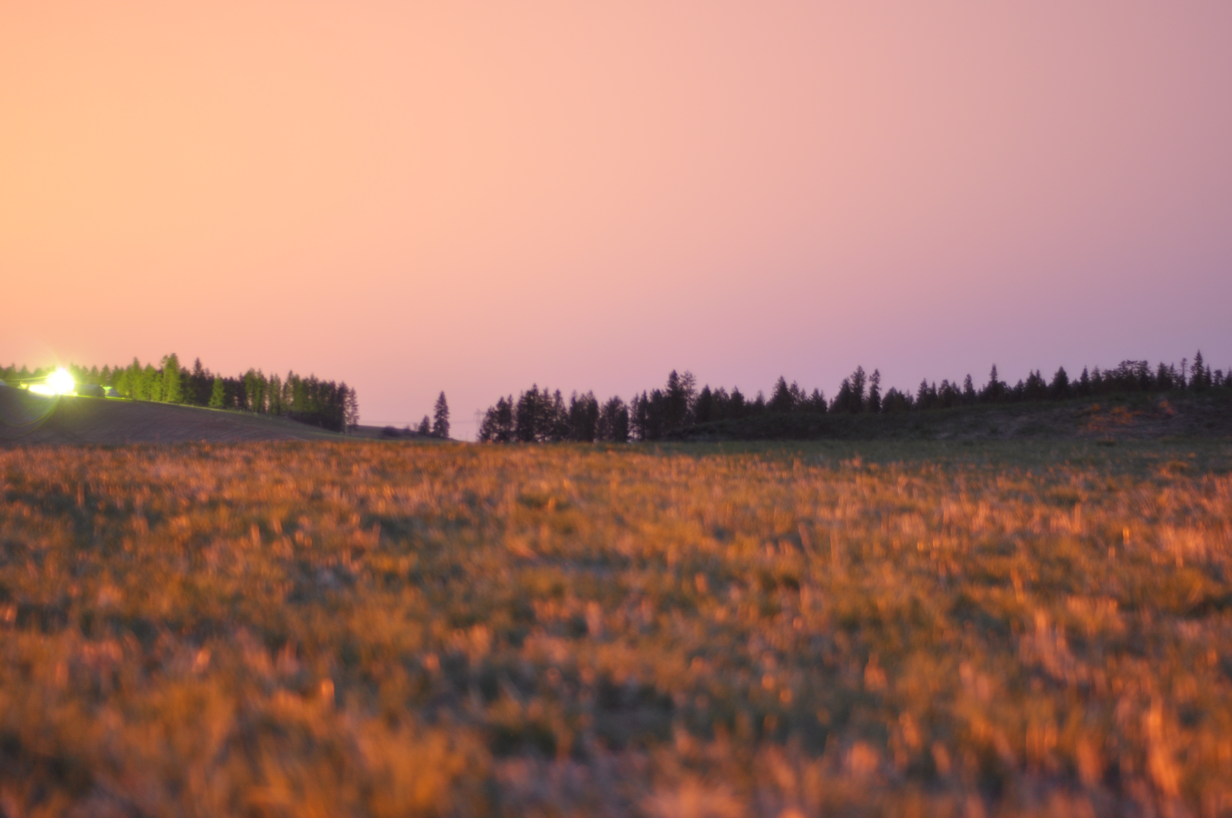
Perfect end to the day
IMG_0001-2
Everyday for 7 Weeks–Day 4–Missoula to Coeur d'Alene
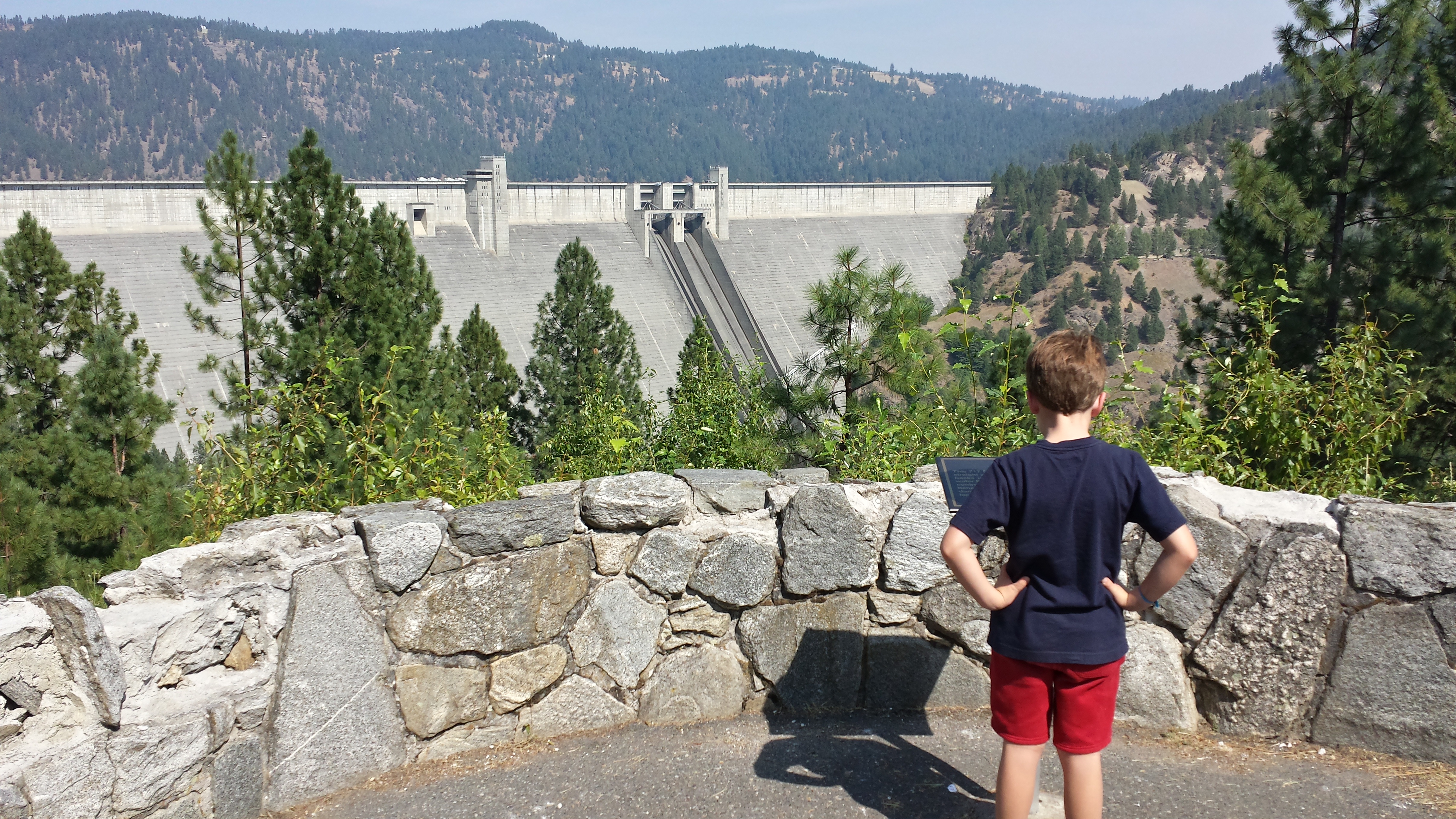
Dworshak Dam
Western Waters Idaho
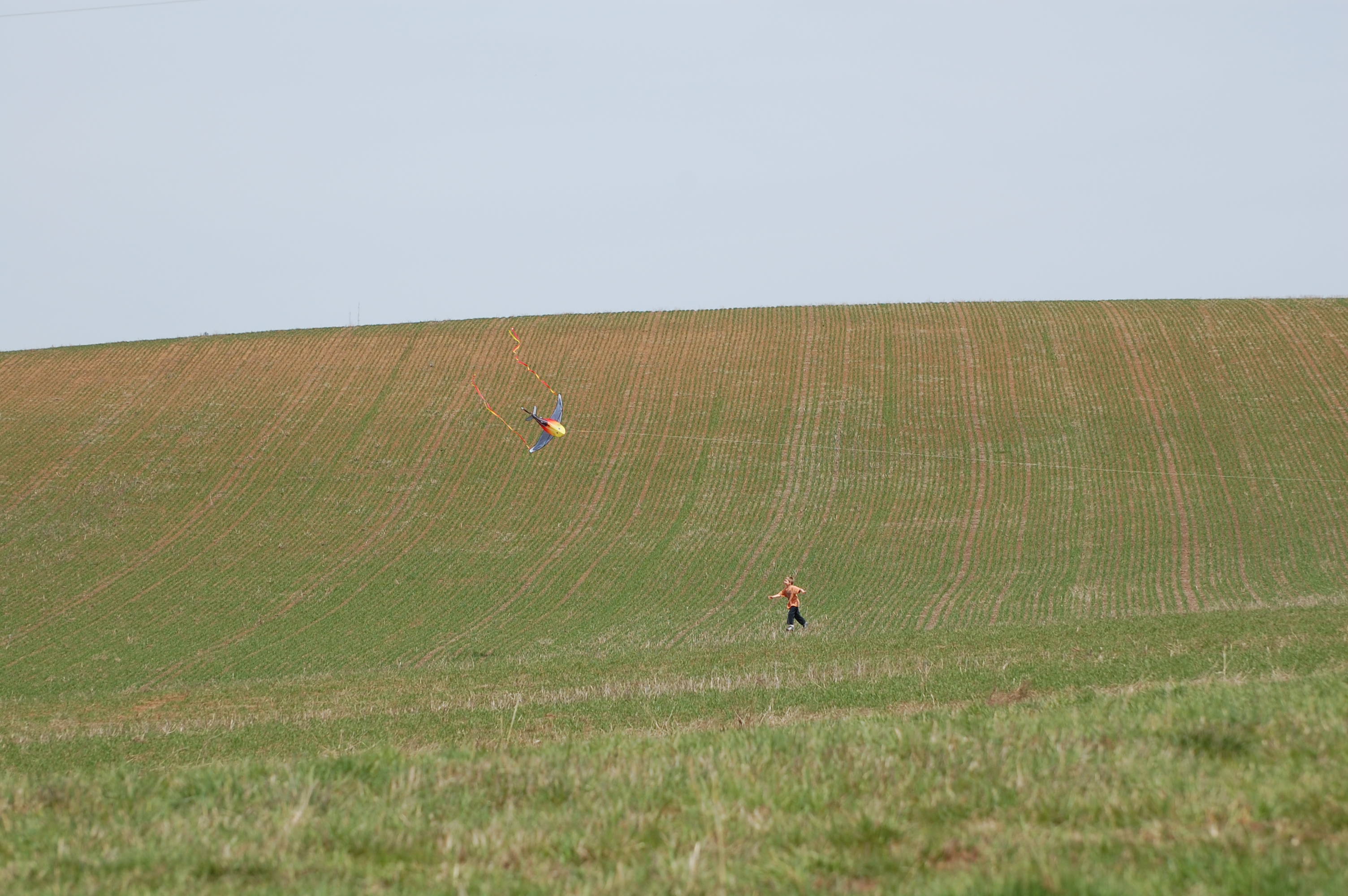
Landing the kite 2
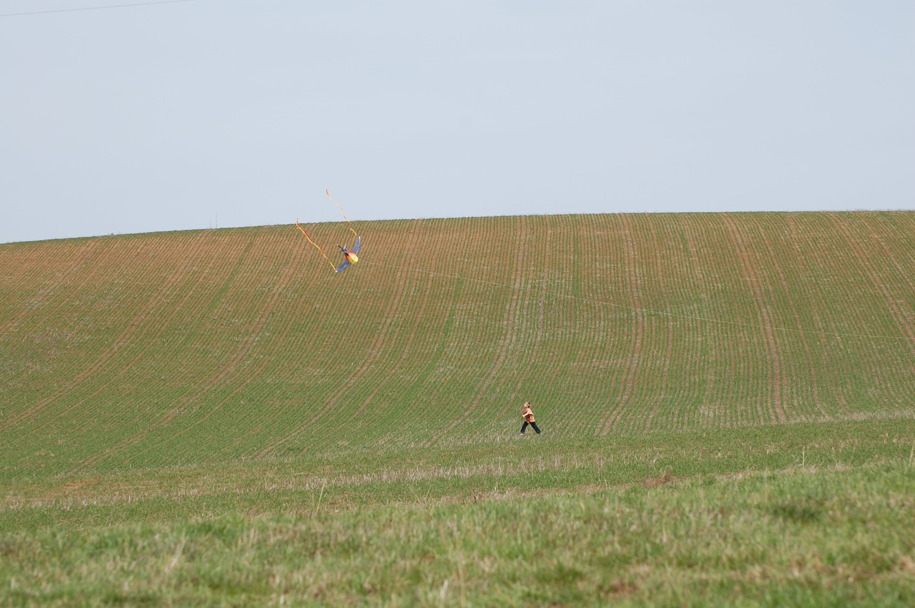
Landing the kite 1
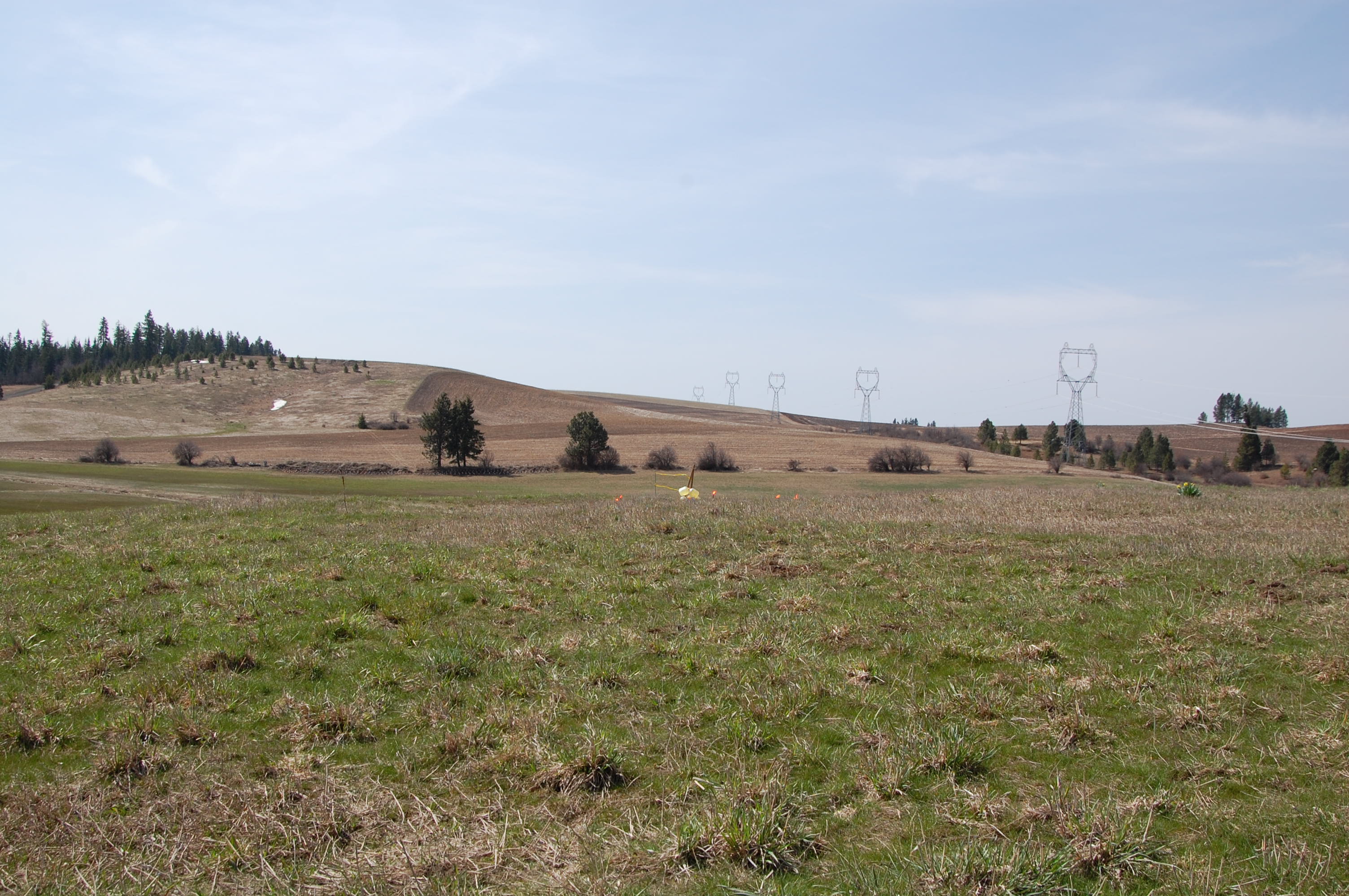
Shooting line from the tree row
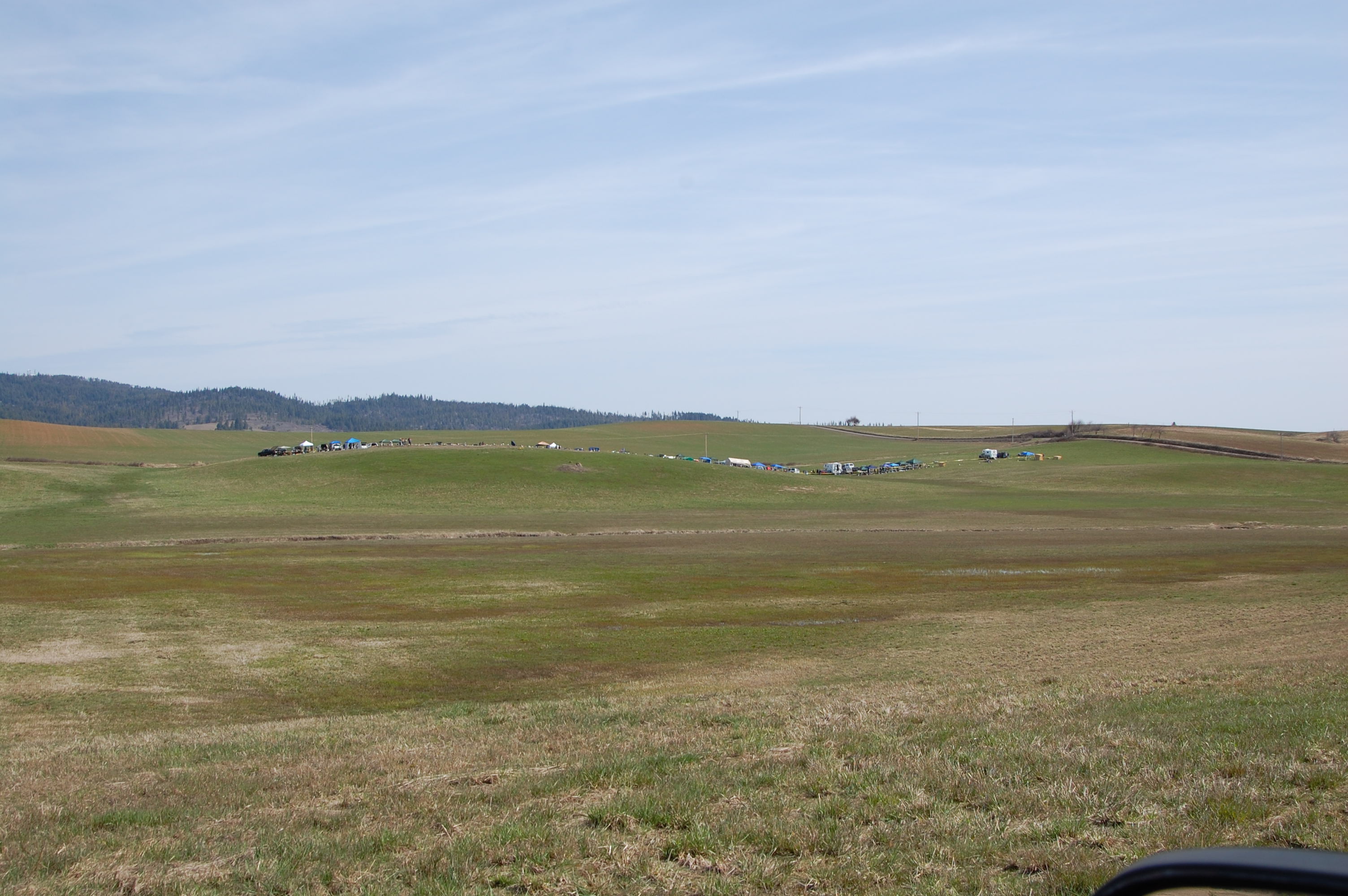
Target before
Everyday for 7 Weeks–Day 4–Missoula to Coeur d'Alene
Dworshak State Park
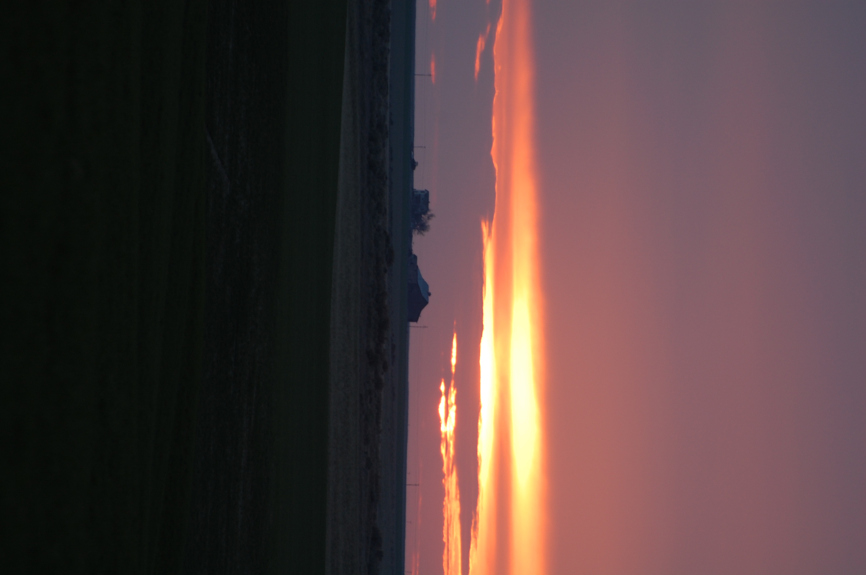
Long exposures, pre-sunrise
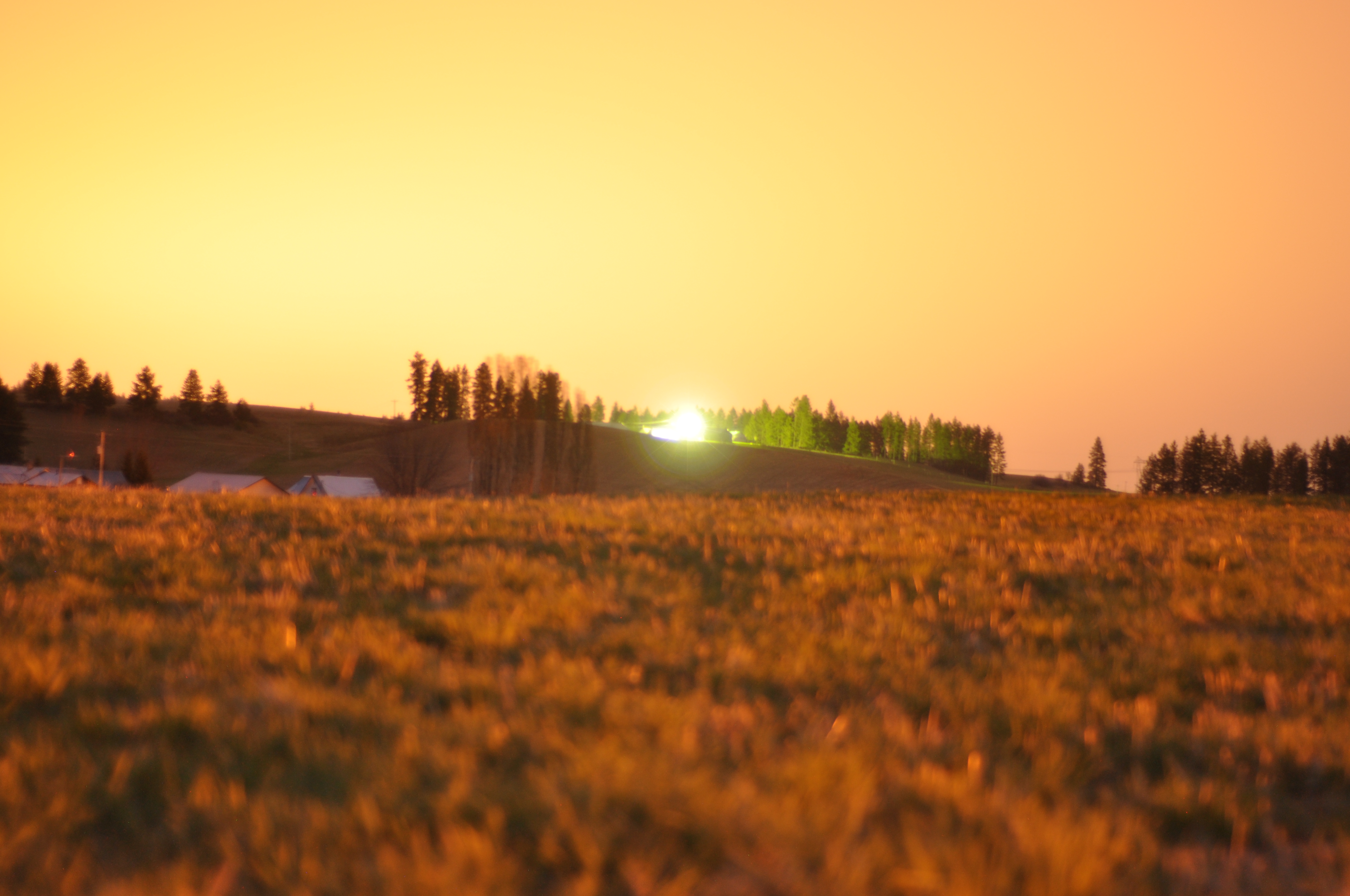
Long exposures, pre-sunrise
Topographic Map of Cavendish, ID, USA
Find elevation by address:

Places near Cavendish, ID, USA:
Devils Elbow Drive
823 Sunnyside Bench Rd
Teakean Rd, Lenore, ID, USA
River Point Lane
Old Peck Grade
Old Peck Grade
Old Peck Grade
Old Peck Grade
Old Peck Grade
Old Peck Grade
Old Peck Grade
Ryegrass Ln, Lenore, ID, USA
N Park St, Peck, ID, USA
Peck
River Road
Lenore
Lenore Grade, Lenore, ID, USA
River Rd, Lenore, ID, USA
Agatha
Melrose Rd, Peck, ID, USA
Recent Searches:
- Elevation of Jadagoniai, Kaunas District Municipality, Lithuania
- Elevation of Pagonija rock, Kranto 7-oji g. 8"N, Kaunas, Lithuania
- Elevation of Co Rd 87, Jamestown, CO, USA
- Elevation of Tenjo, Cundinamarca, Colombia
- Elevation of Côte-des-Neiges, Montreal, QC H4A 3J6, Canada
- Elevation of Bobcat Dr, Helena, MT, USA
- Elevation of Zu den Ihlowbergen, Althüttendorf, Germany
- Elevation of Badaber, Peshawar, Khyber Pakhtunkhwa, Pakistan
- Elevation of SE Heron Loop, Lincoln City, OR, USA
- Elevation of Slanický ostrov, 01 Námestovo, Slovakia