Elevation of Carrollton, MS, USA
Location: United States > Mississippi > Carroll County >
Longitude: -89.920360
Latitude: 33.5081773
Elevation: 87m / 285feet
Barometric Pressure: 100KPa
Elevation Map:
Satellite Map:
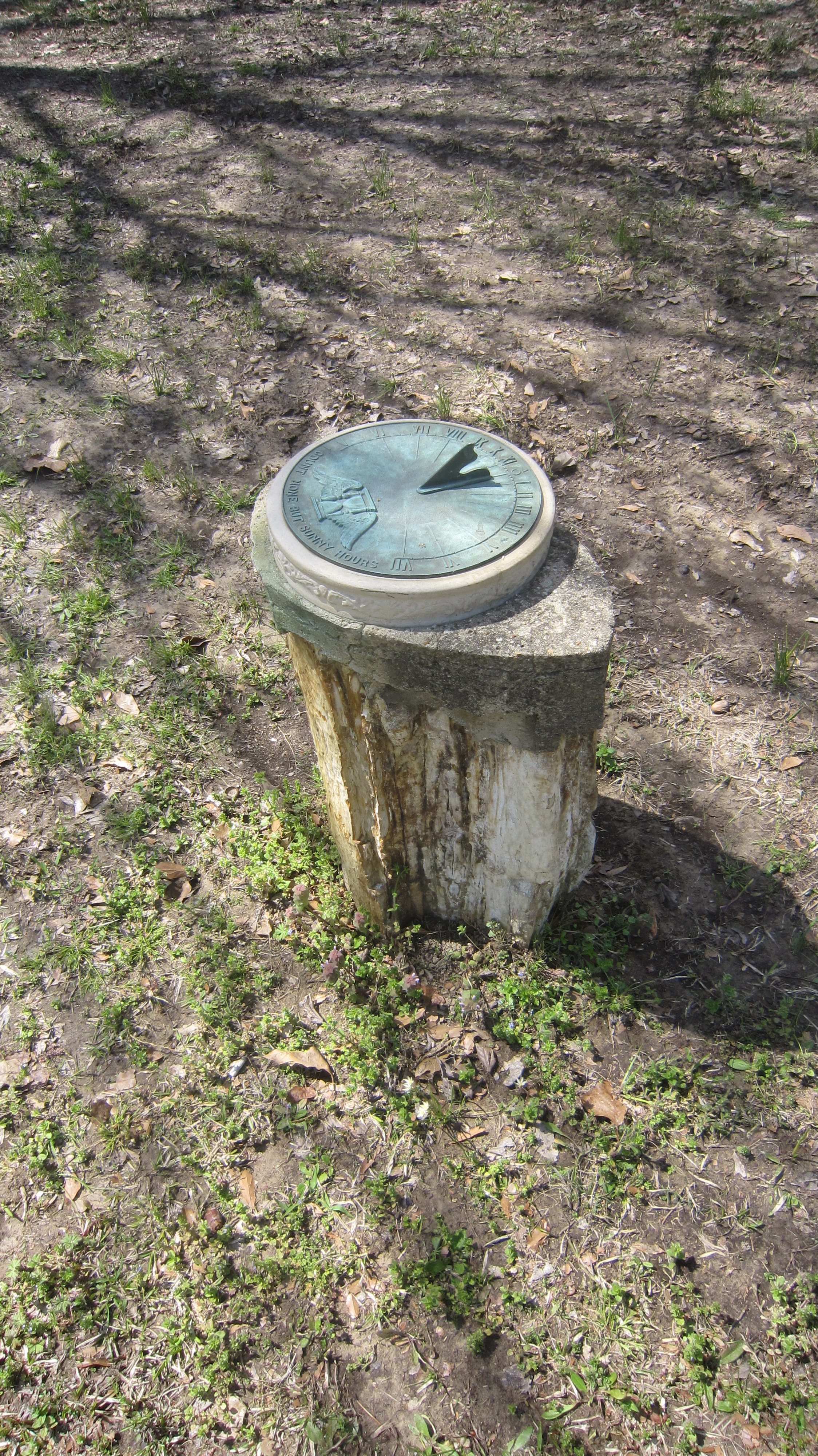
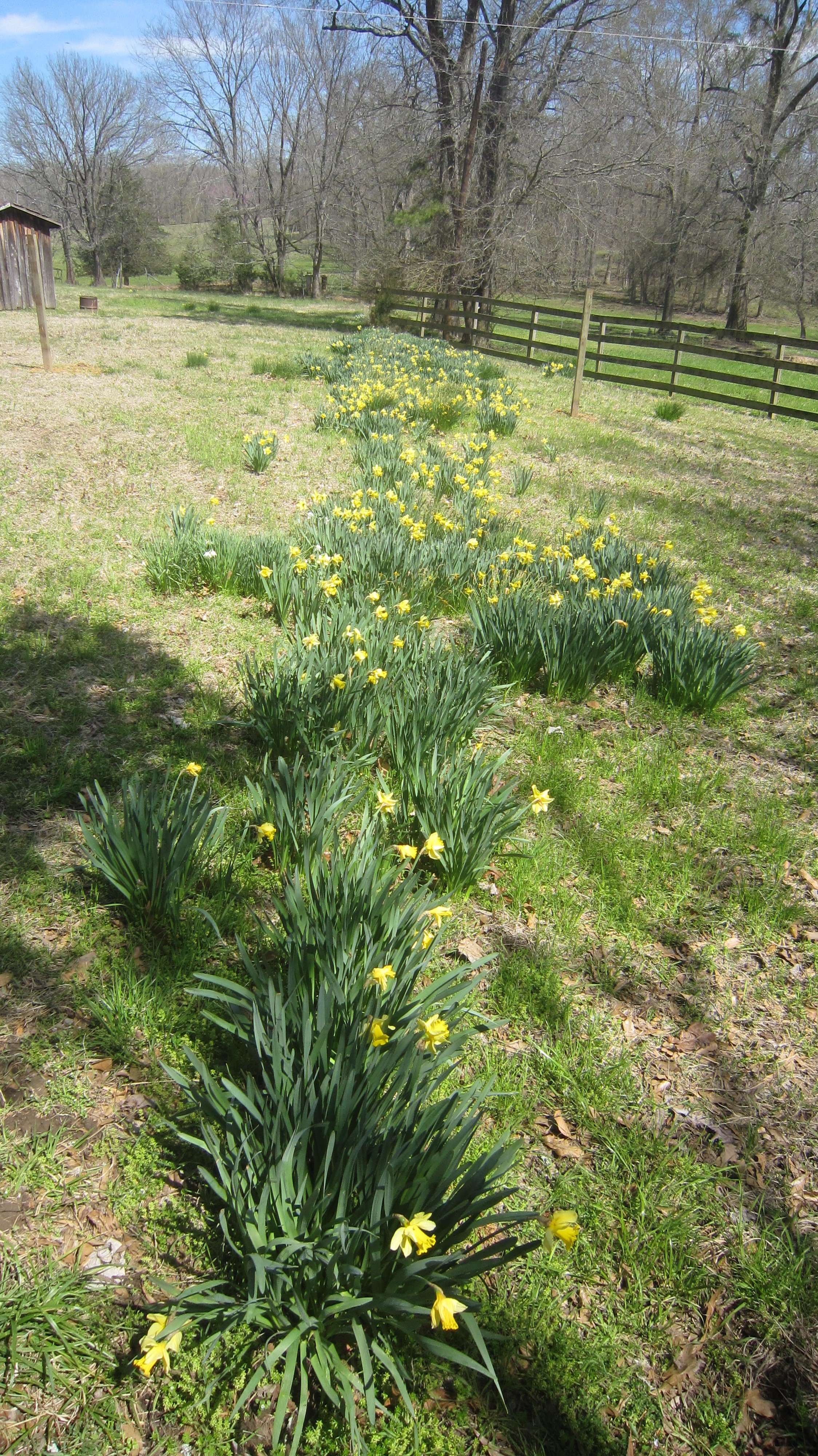
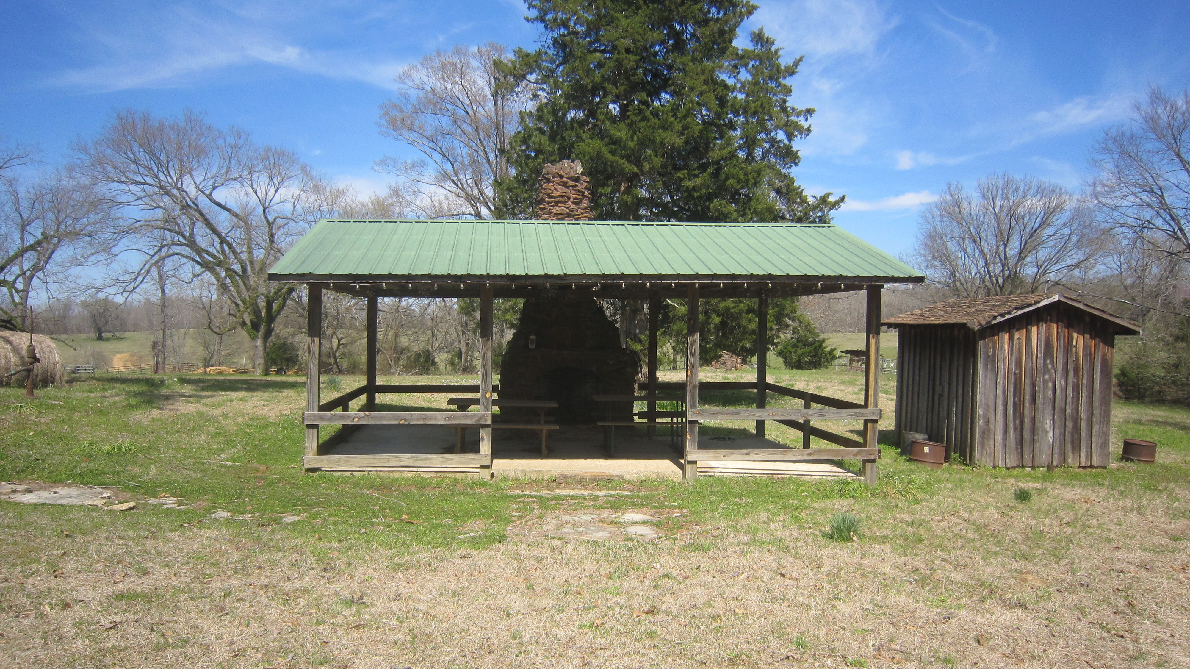
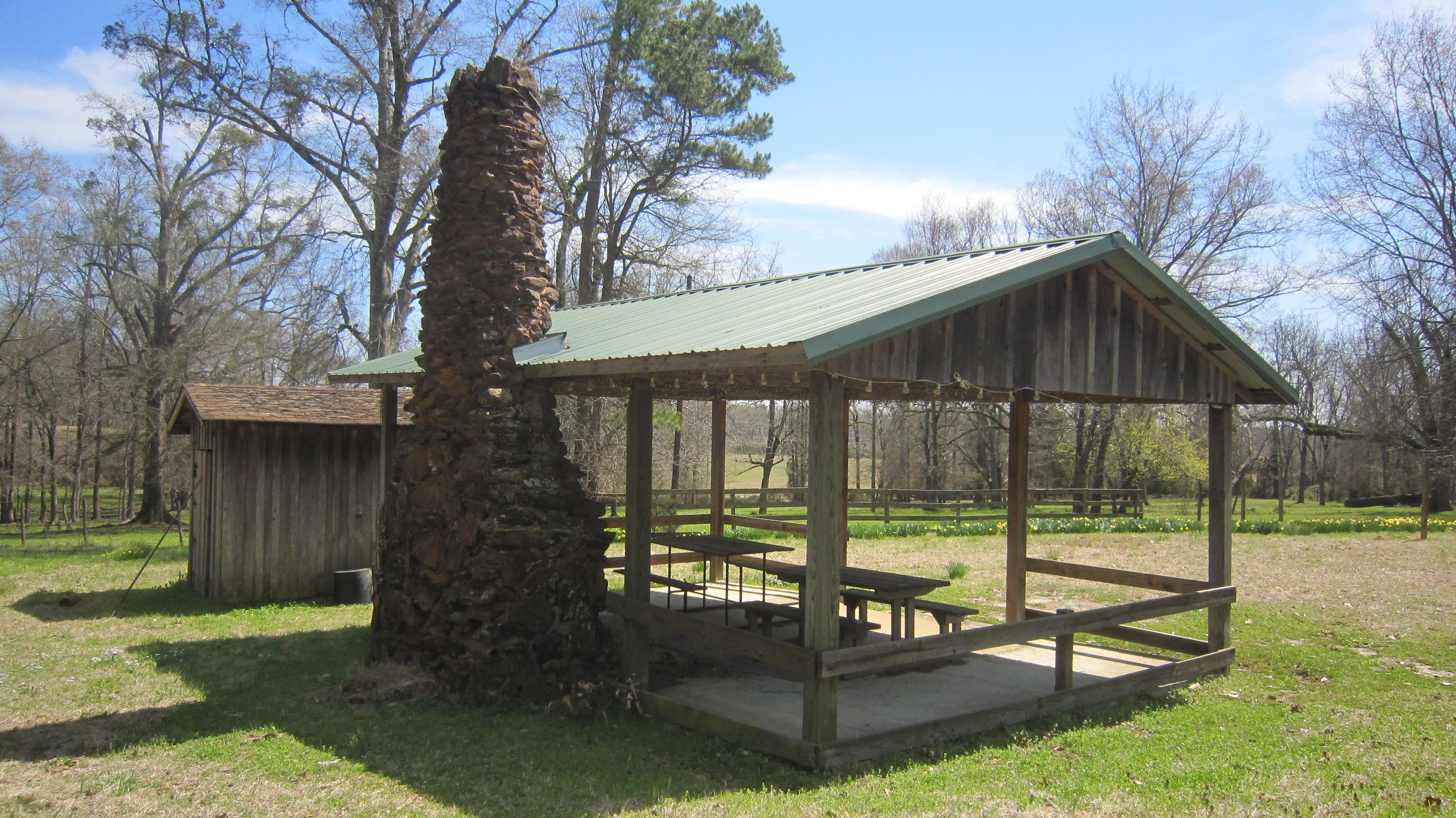
Related Photos:
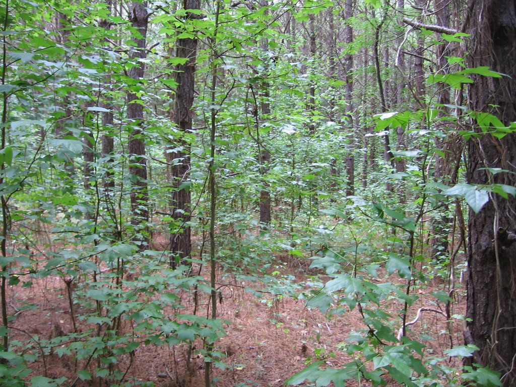
American Sweetgum
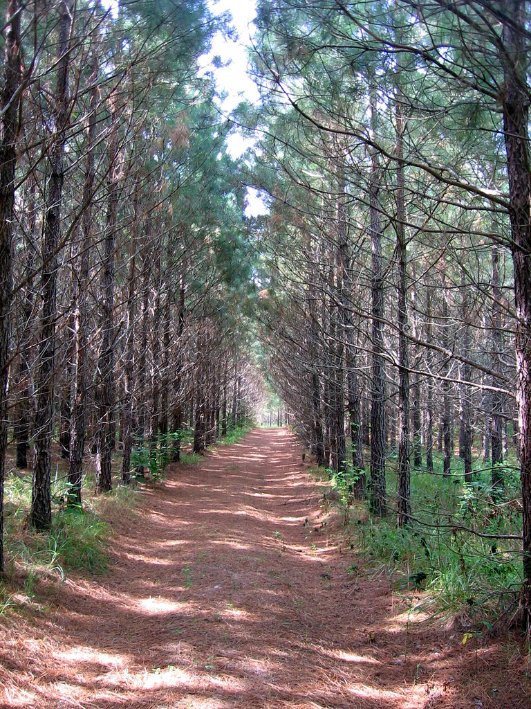
Tree Farming Loblolly Pine
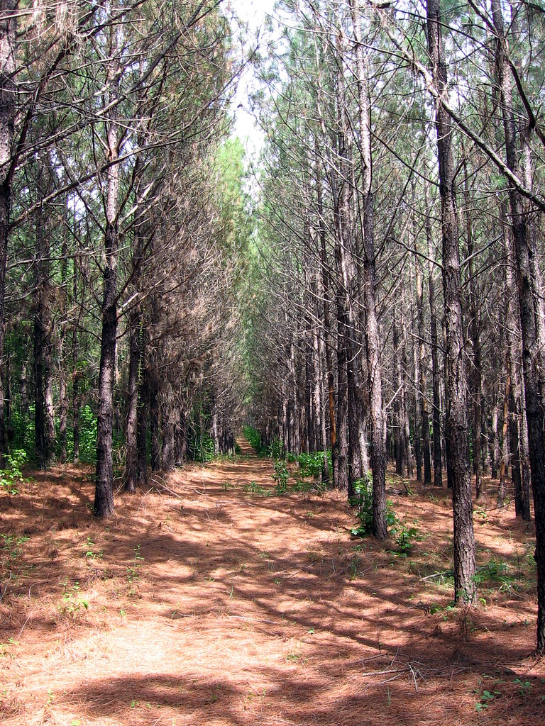
Loblolly Pine

Corsair F4U-5N fighter plane
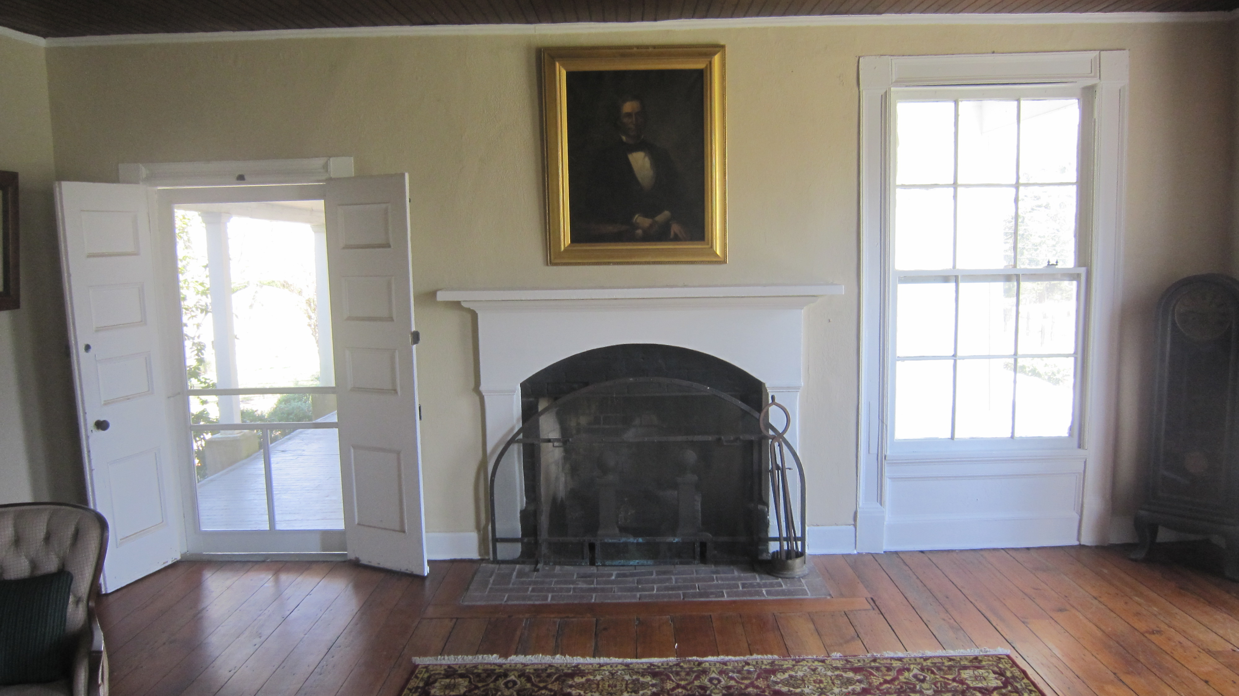
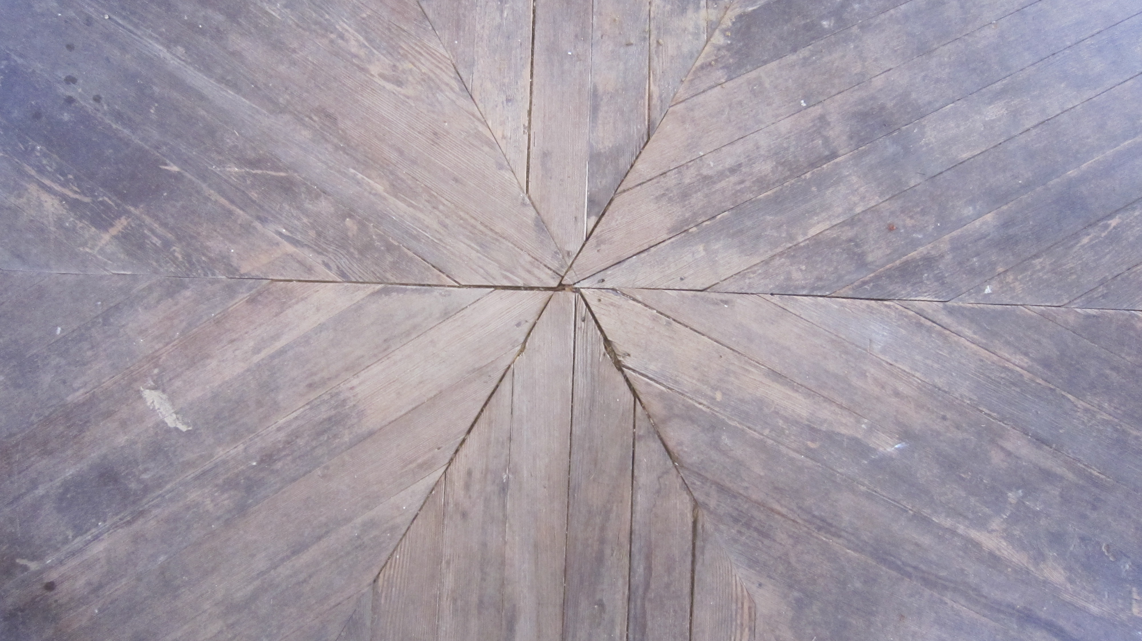
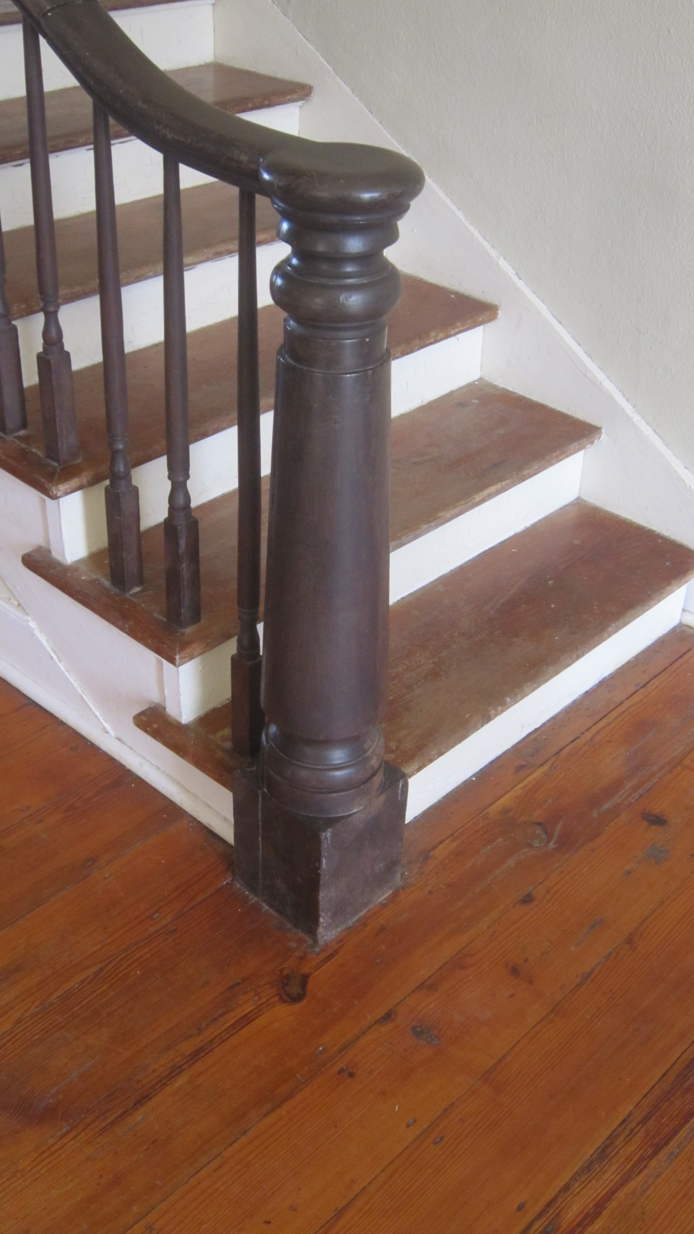
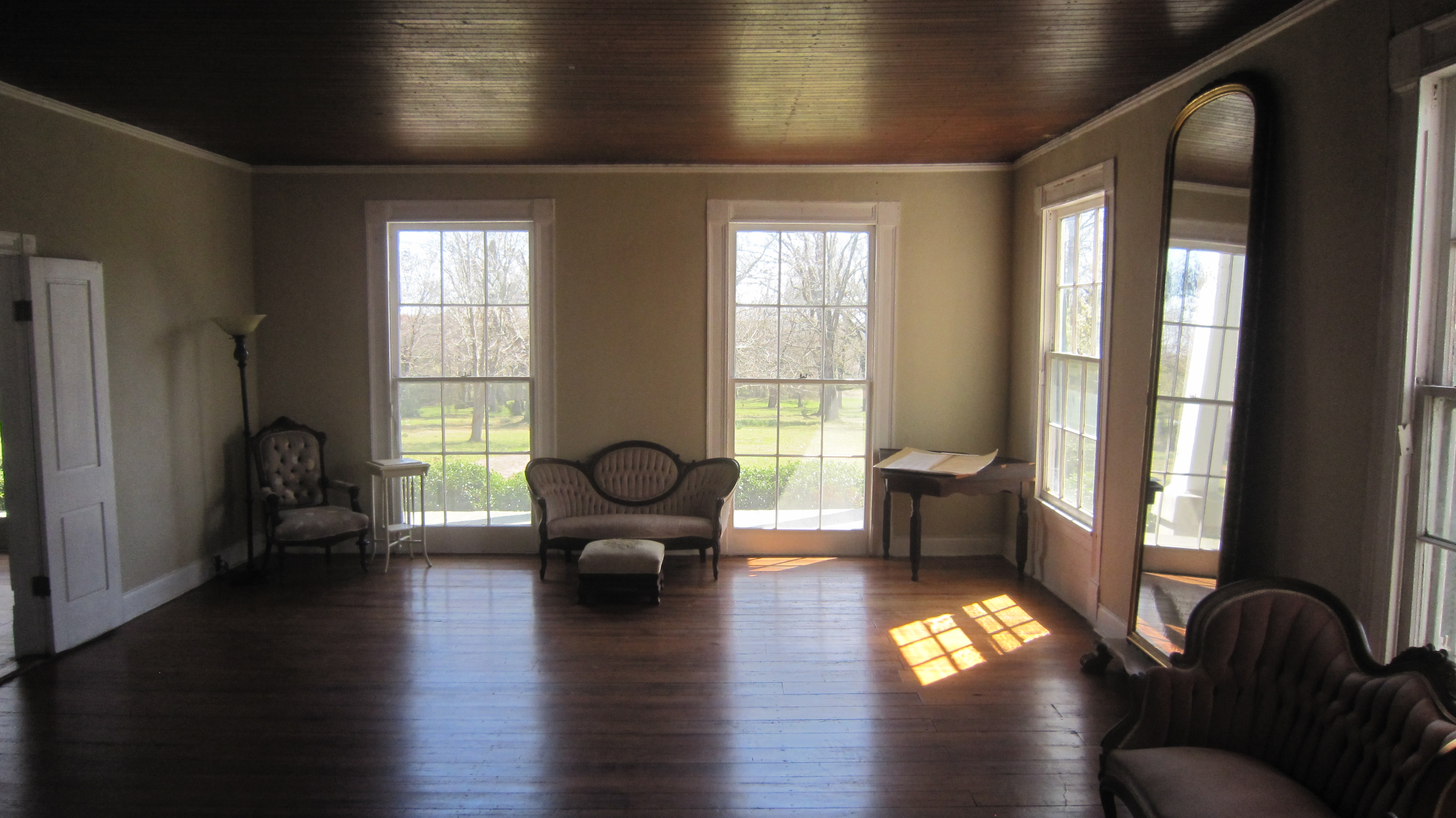
Coteworth Inside
Cotesworth Library 18

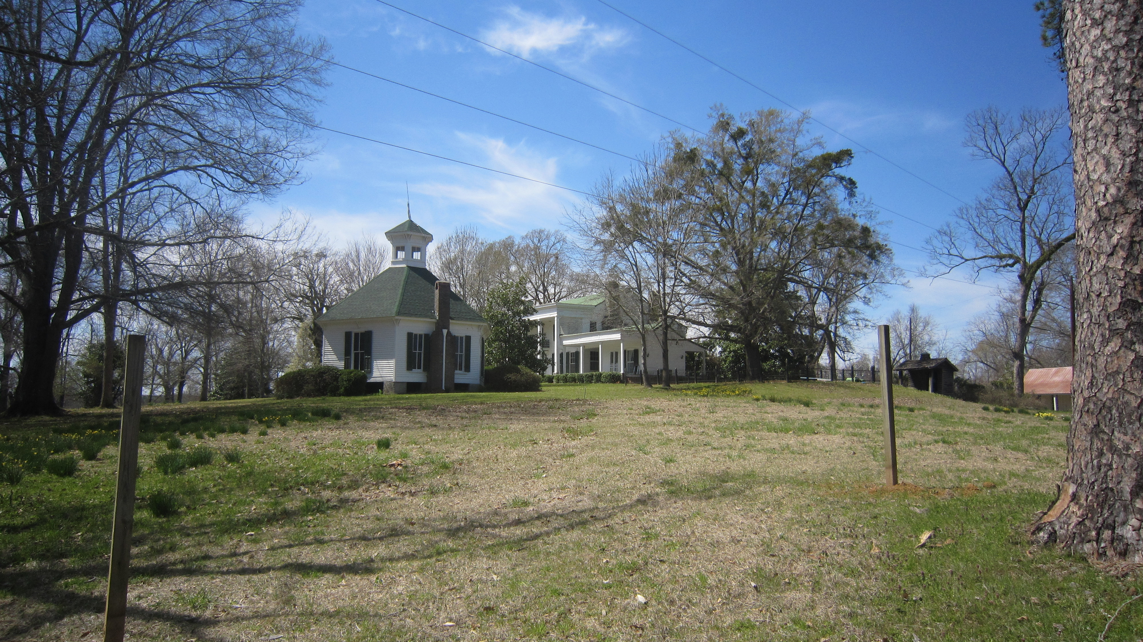
Cotesworth 2
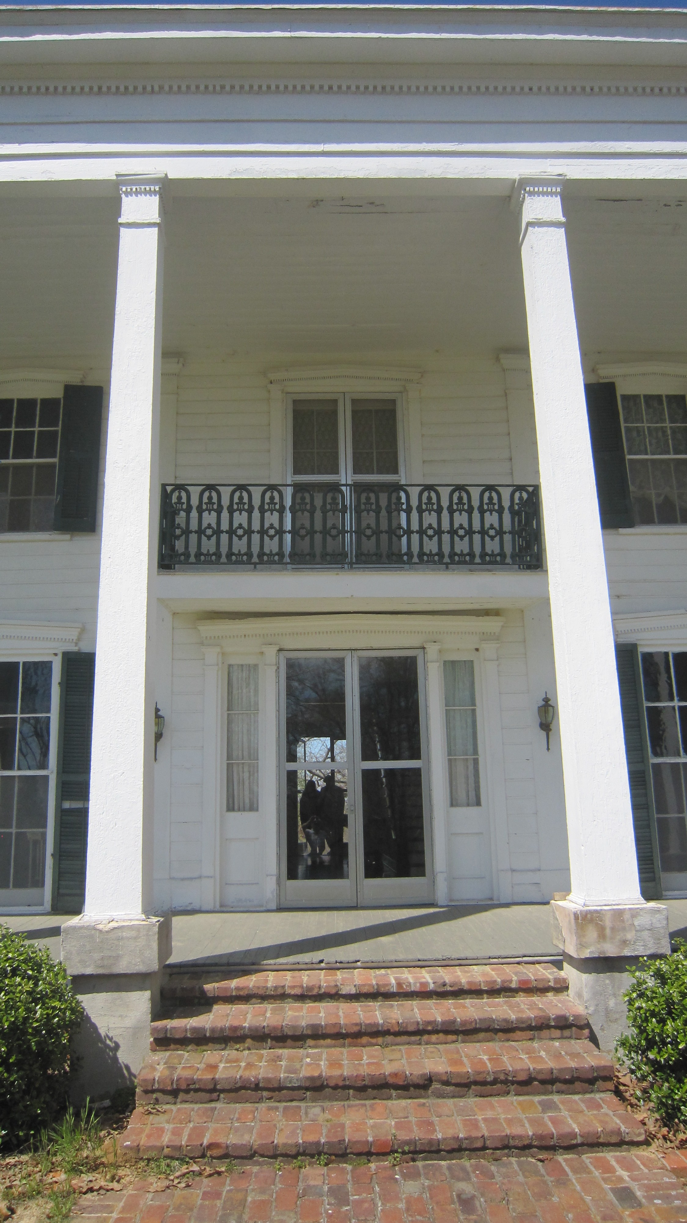
Cotesworth 4
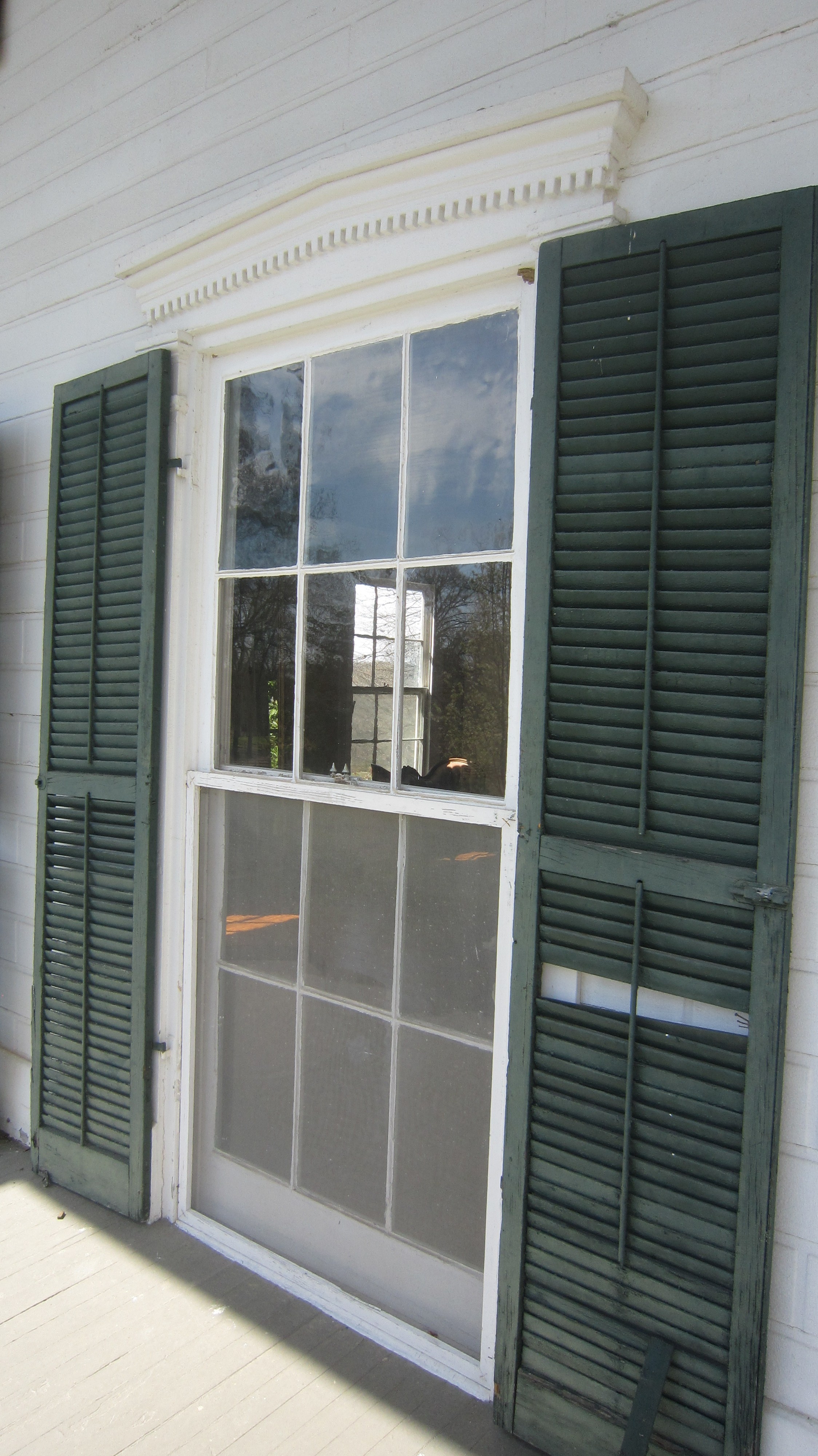
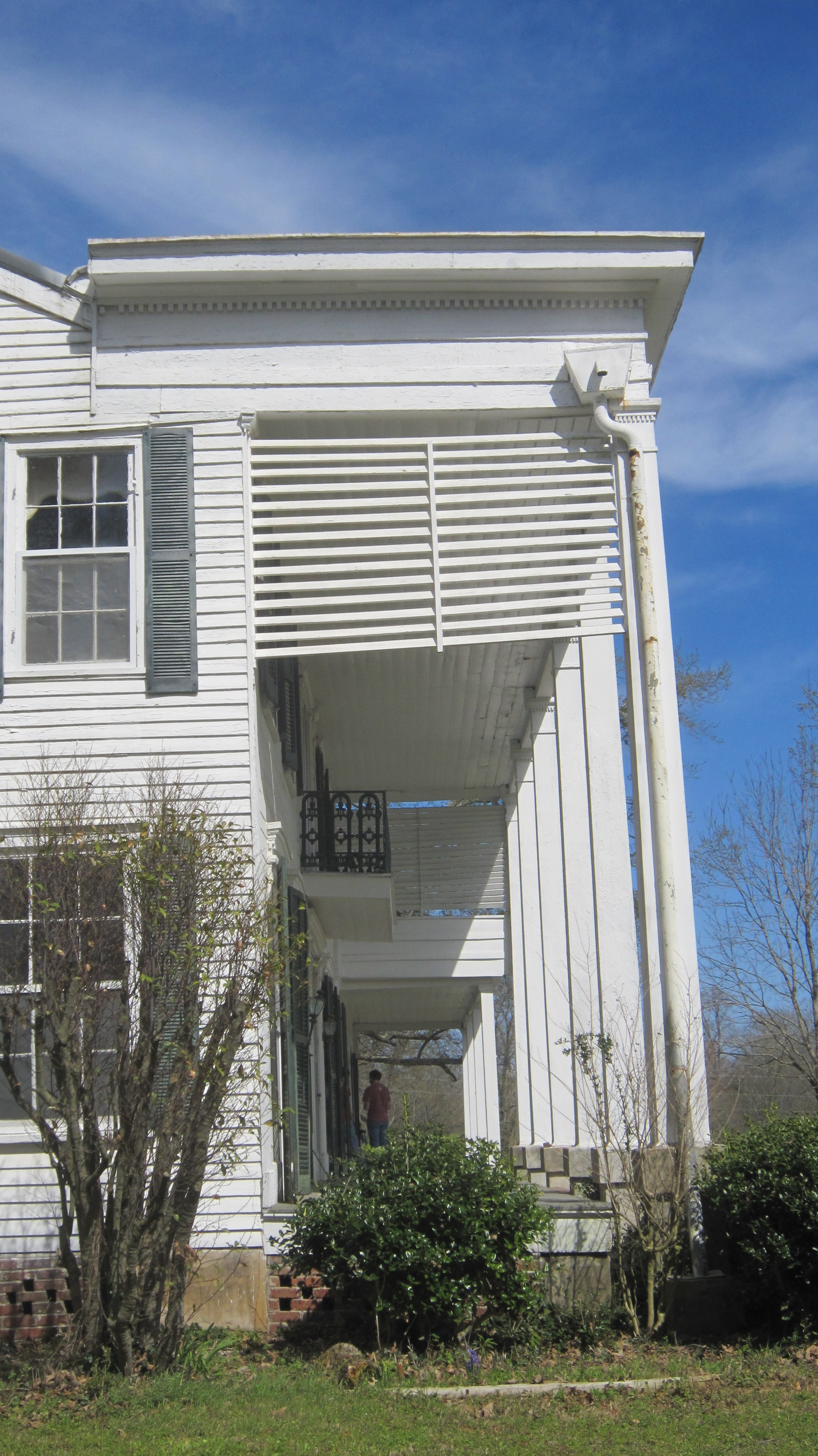
Cotesworth 5
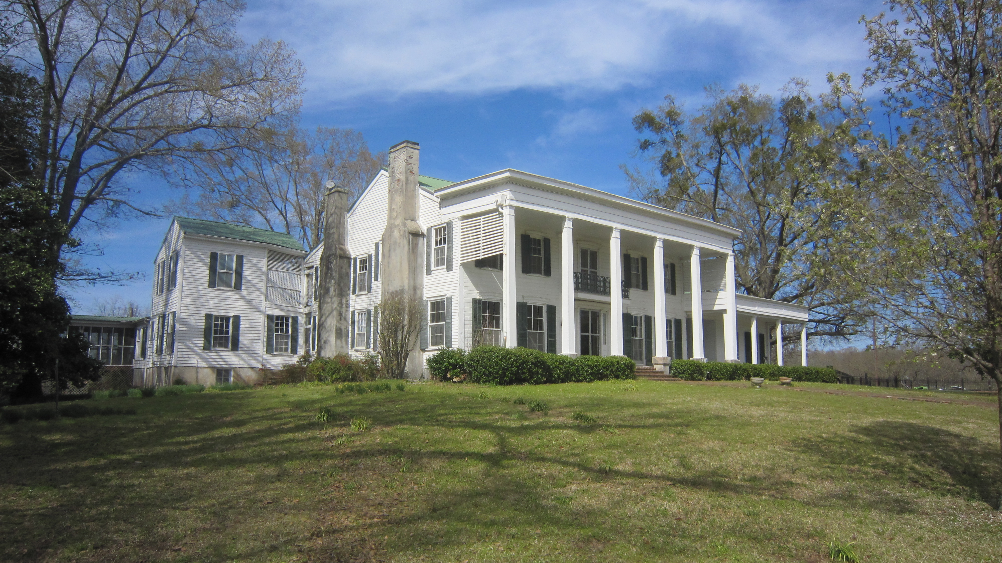
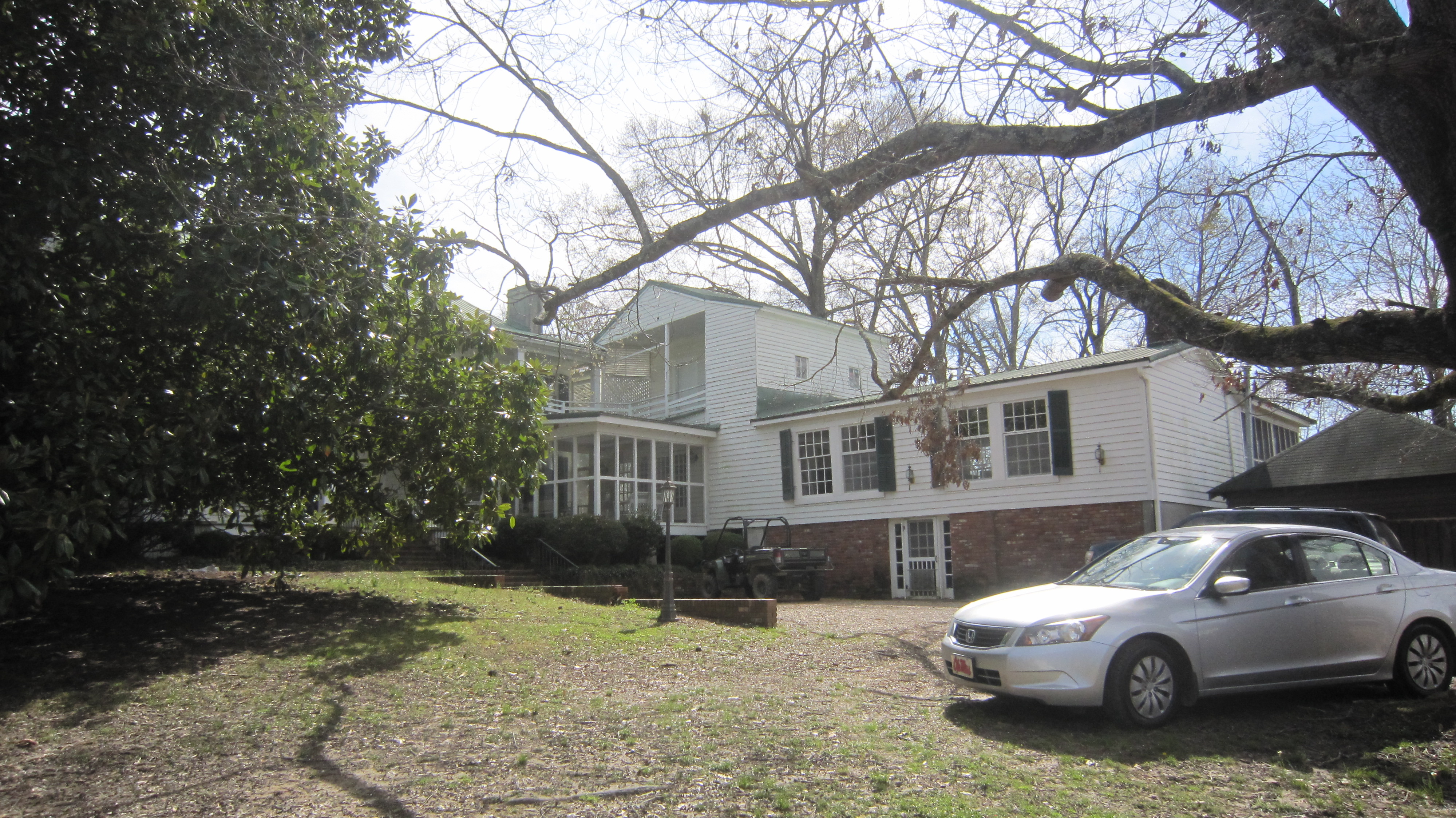
Cotesworth 6

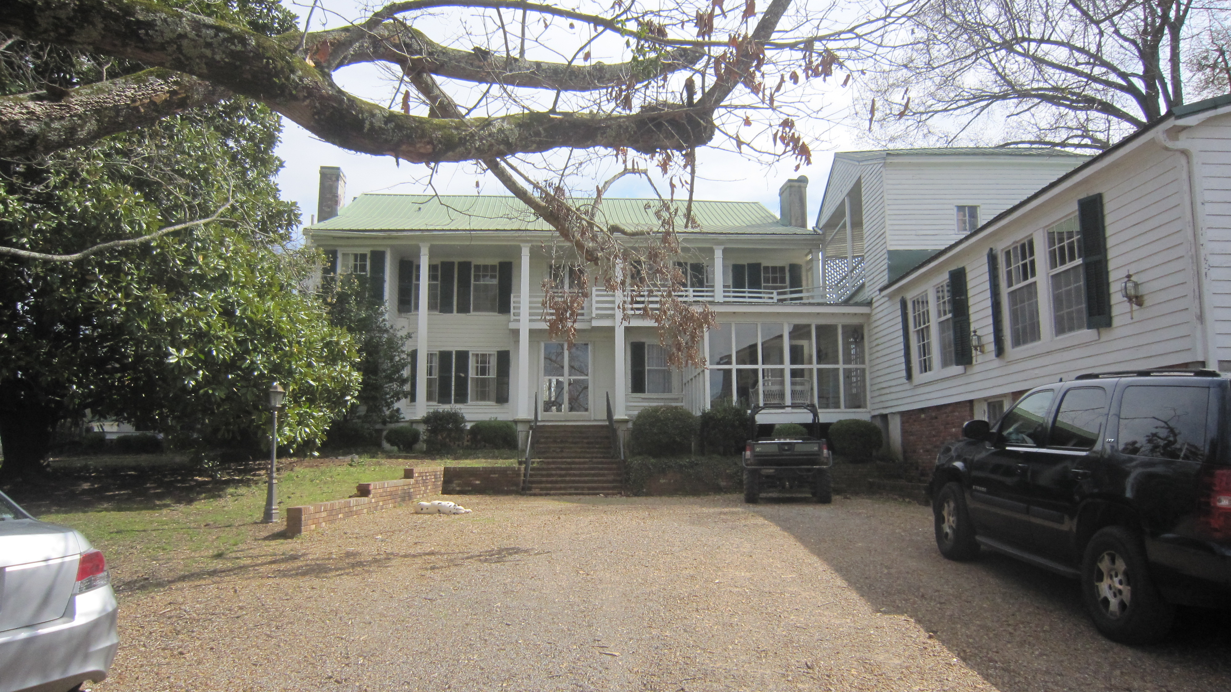
Cotesworth 7
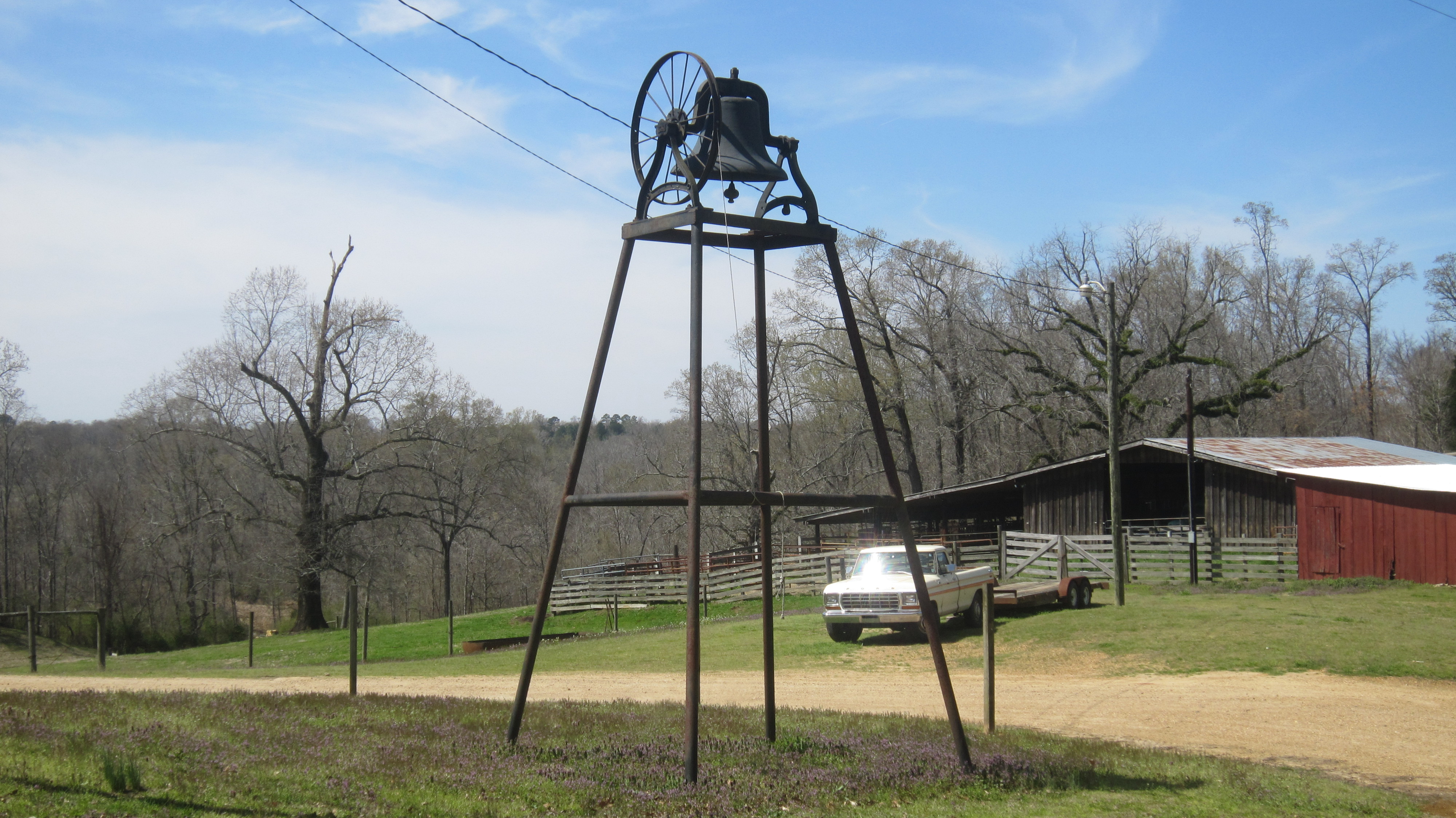
Cotesworth 8

Cotesworth 9
Cotesworth 11
Cotesworth 12
Cotesworth 13
Cotesworth 14
Cotesworth 15
Cotesworth 16
Cotesworth 17
Cotesworth 19

Cotesworth 20
Cotesworth Inside 3
Cotesworth Inside 4
Topographic Map of Carrollton, MS, USA
Find elevation by address:

Places in Carrollton, MS, USA:
Places near Carrollton, MS, USA:
Carroll County
Mccarley
County Road 83
Co Rd, Carrollton, MS, USA
513 S Applegate St
Winona
110 S Front St
Duck Hill
Elliott
Camp McCain Rd, Grenada, MS, USA
Vaiden
Front St, Vaiden, MS, USA
3984 Us-51
Montgomery County
Lodi Rd, Winona, MS, USA
Kilmichael
Gordon Rd, Duck Hill, MS, USA
364 Poplar Creek Rd
MS-, Kilmichael, MS, USA
Attala County
Recent Searches:
- Elevation of Congressional Dr, Stevensville, MD, USA
- Elevation of Bellview Rd, McLean, VA, USA
- Elevation of Stage Island Rd, Chatham, MA, USA
- Elevation of Shibuya Scramble Crossing, 21 Udagawacho, Shibuya City, Tokyo -, Japan
- Elevation of Jadagoniai, Kaunas District Municipality, Lithuania
- Elevation of Pagonija rock, Kranto 7-oji g. 8"N, Kaunas, Lithuania
- Elevation of Co Rd 87, Jamestown, CO, USA
- Elevation of Tenjo, Cundinamarca, Colombia
- Elevation of Côte-des-Neiges, Montreal, QC H4A 3J6, Canada
- Elevation of Bobcat Dr, Helena, MT, USA