Elevation of US-51, Grenada, MS, USA
Location: United States > Mississippi > Grenada County > Grenada >
Longitude: -89.784577
Latitude: 33.7256599
Elevation: -10000m / -32808feet
Barometric Pressure: 295KPa
Elevation Map:
Satellite Map:
Related Photos:

Grenada Lake Map
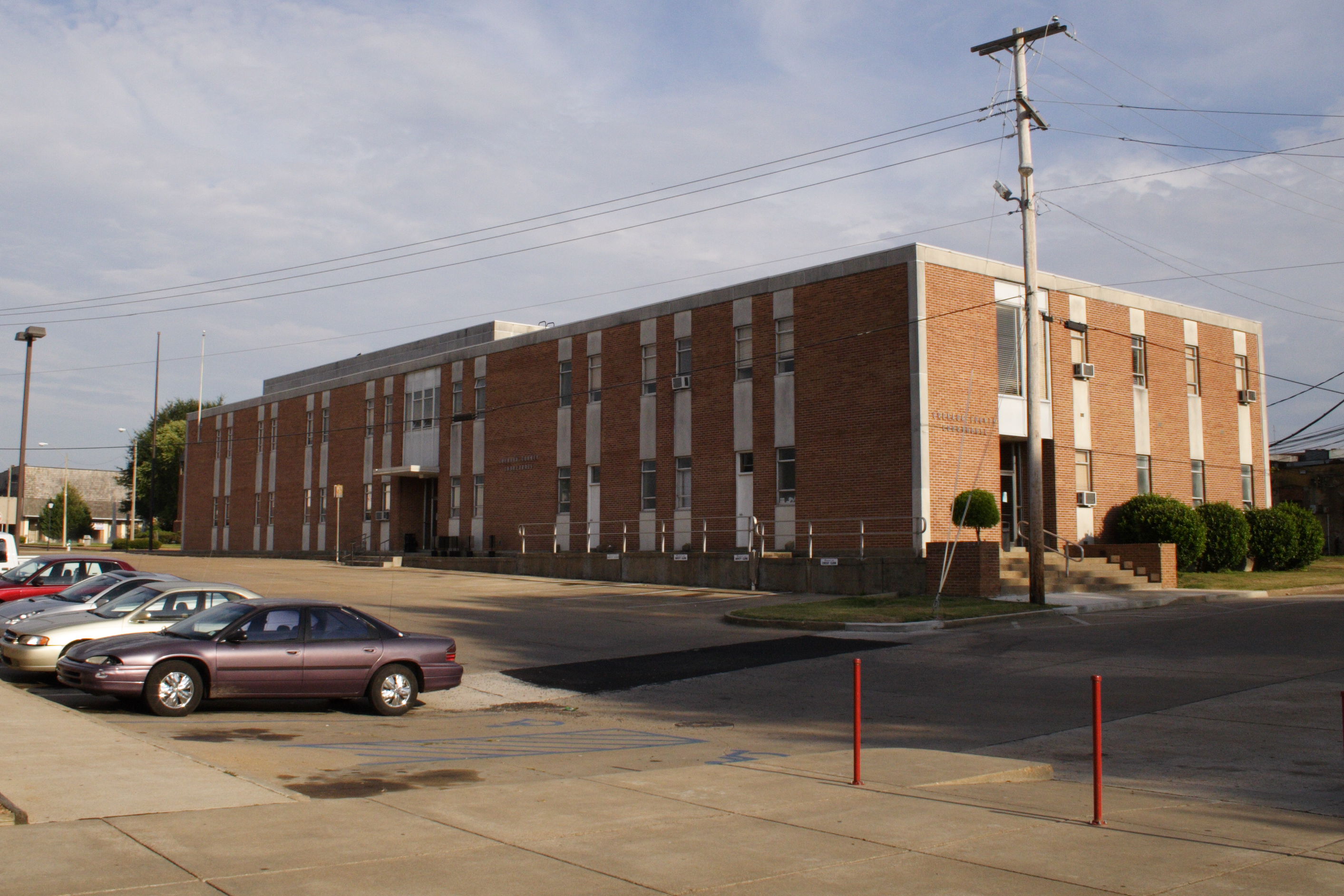
Grenada County courthouse

Grenada town square

Grenada town square

Grenada Lake

Dubard Railroad Depot 2

060 (5)

Grenada Lake

057 (5)

038 (7)

054 (5)

landscape @ route 51

This was the 1st beach I ever went to as a kid. #BeachMemories

052 (5)
Topographic Map of US-51, Grenada, MS, USA
Find elevation by address:

Places near US-51, Grenada, MS, USA:
Camp McCain Rd, Grenada, MS, USA
Elliott
Duck Hill
Co Rd, Carrollton, MS, USA
County Road 83
Gordon Rd, Duck Hill, MS, USA
Mccarley
Carroll County
Winona
110 S Front St
Montgomery County
Carrollton
513 S Applegate St
Lodi Rd, Winona, MS, USA
Kilmichael
Vaiden
Front St, Vaiden, MS, USA
Slate Springs
364 Poplar Creek Rd
Williams Cir, Calhoun City, MS, USA
Recent Searches:
- Elevation of Rojo Ct, Atascadero, CA, USA
- Elevation of Flagstaff Drive, Flagstaff Dr, North Carolina, USA
- Elevation of Avery Ln, Lakeland, FL, USA
- Elevation of Woolwine, VA, USA
- Elevation of Lumagwas Diversified Farmers Multi-Purpose Cooperative, Lumagwas, Adtuyon, RV32+MH7, Pangantucan, Bukidnon, Philippines
- Elevation of Homestead Ridge, New Braunfels, TX, USA
- Elevation of Orchard Road, Orchard Rd, Marlborough, NY, USA
- Elevation of 12 Hutchinson Woods Dr, Fletcher, NC, USA
- Elevation of Holloway Ave, San Francisco, CA, USA
- Elevation of Norfolk, NY, USA