Elevation of Camp McCain Rd, Grenada, MS, USA
Location: United States > Mississippi > Grenada County > Elliott >
Longitude: -89.755766
Latitude: 33.6913051
Elevation: 68m / 223feet
Barometric Pressure: 101KPa
Elevation Map:
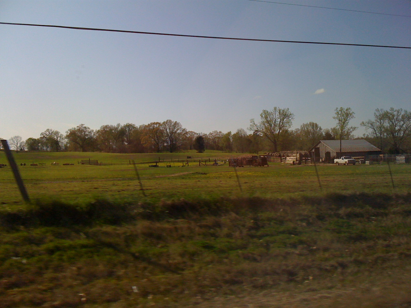
Satellite Map:
Related Photos:

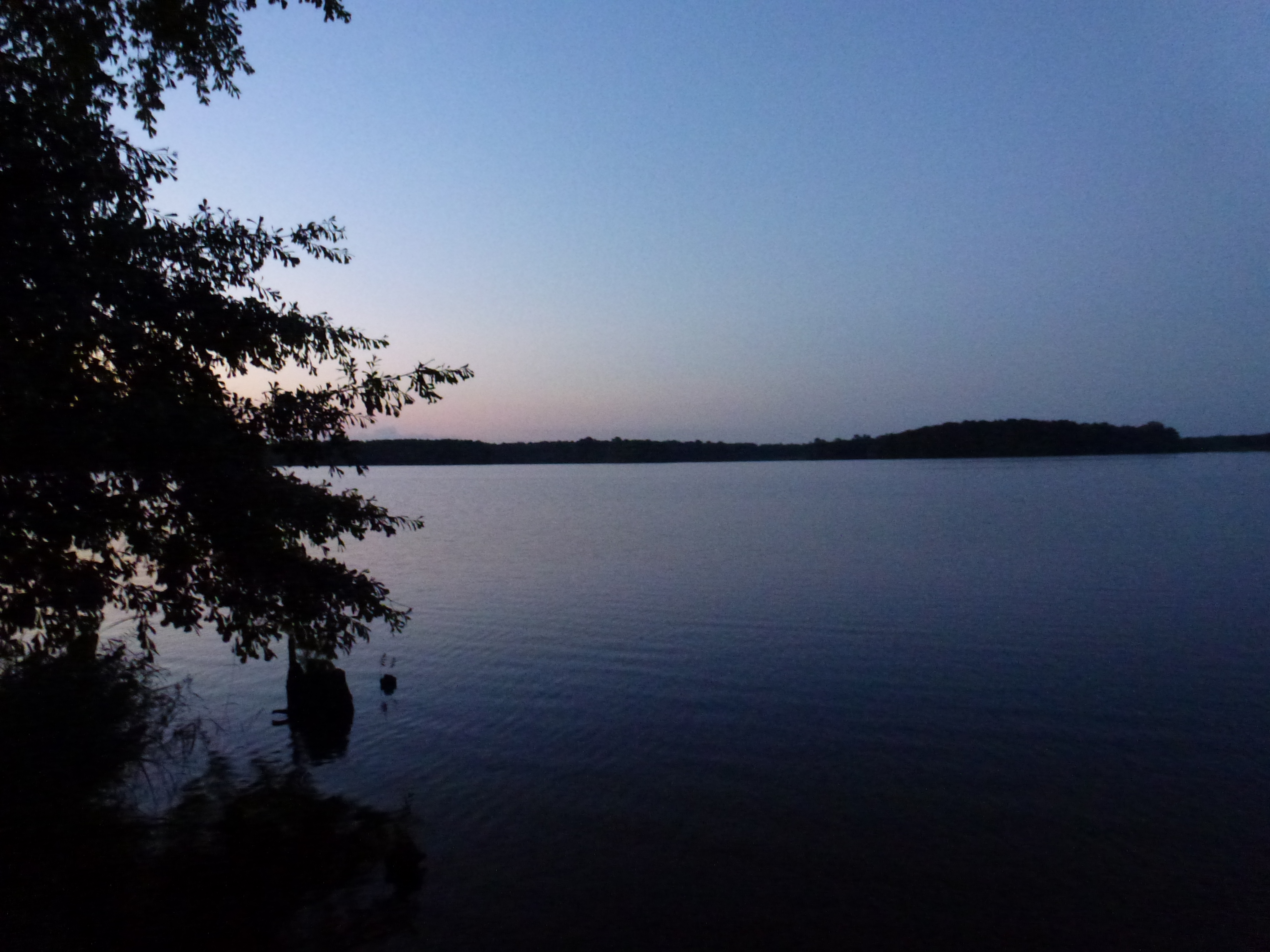
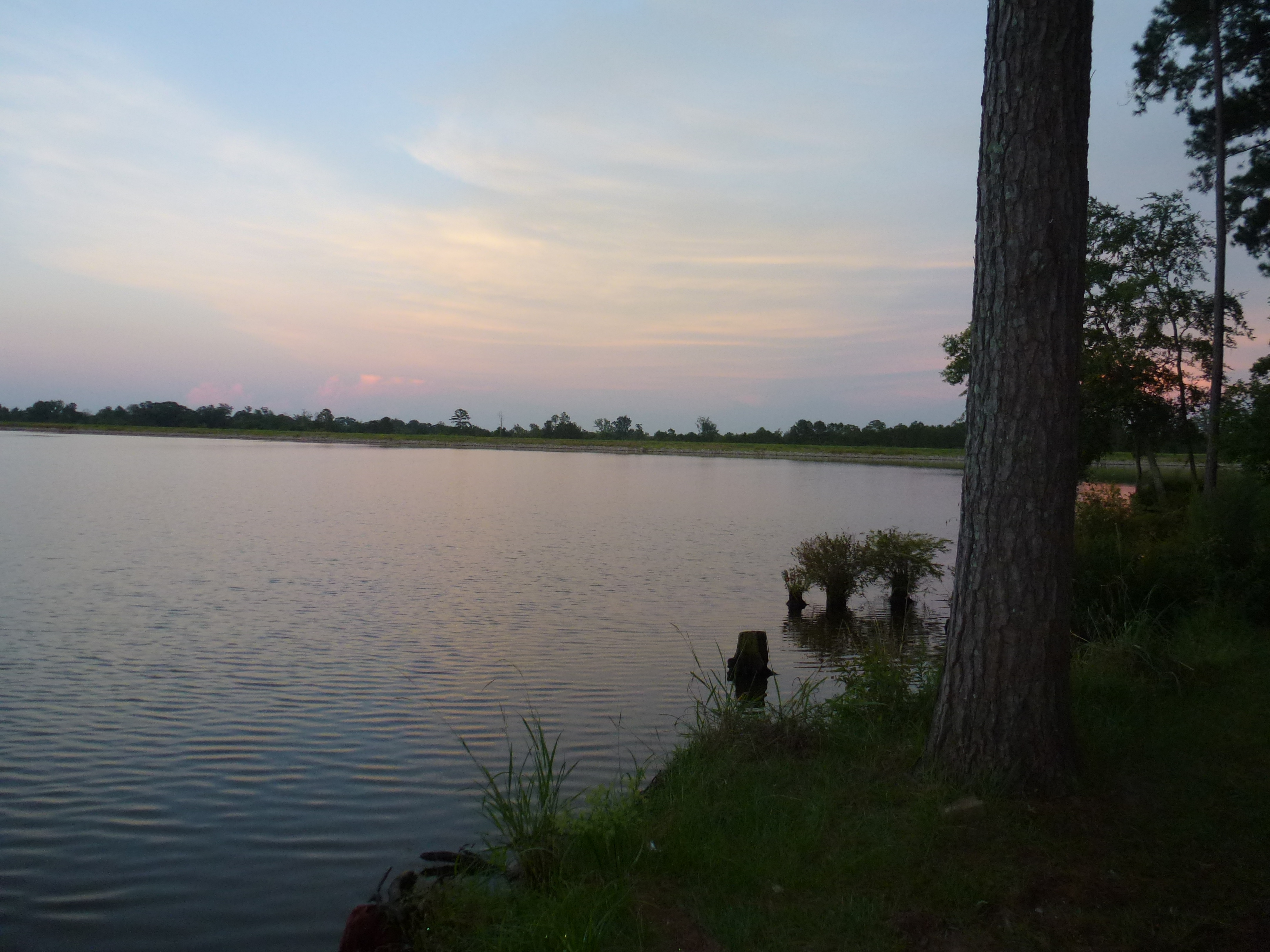
Grenada Lake Moonrise
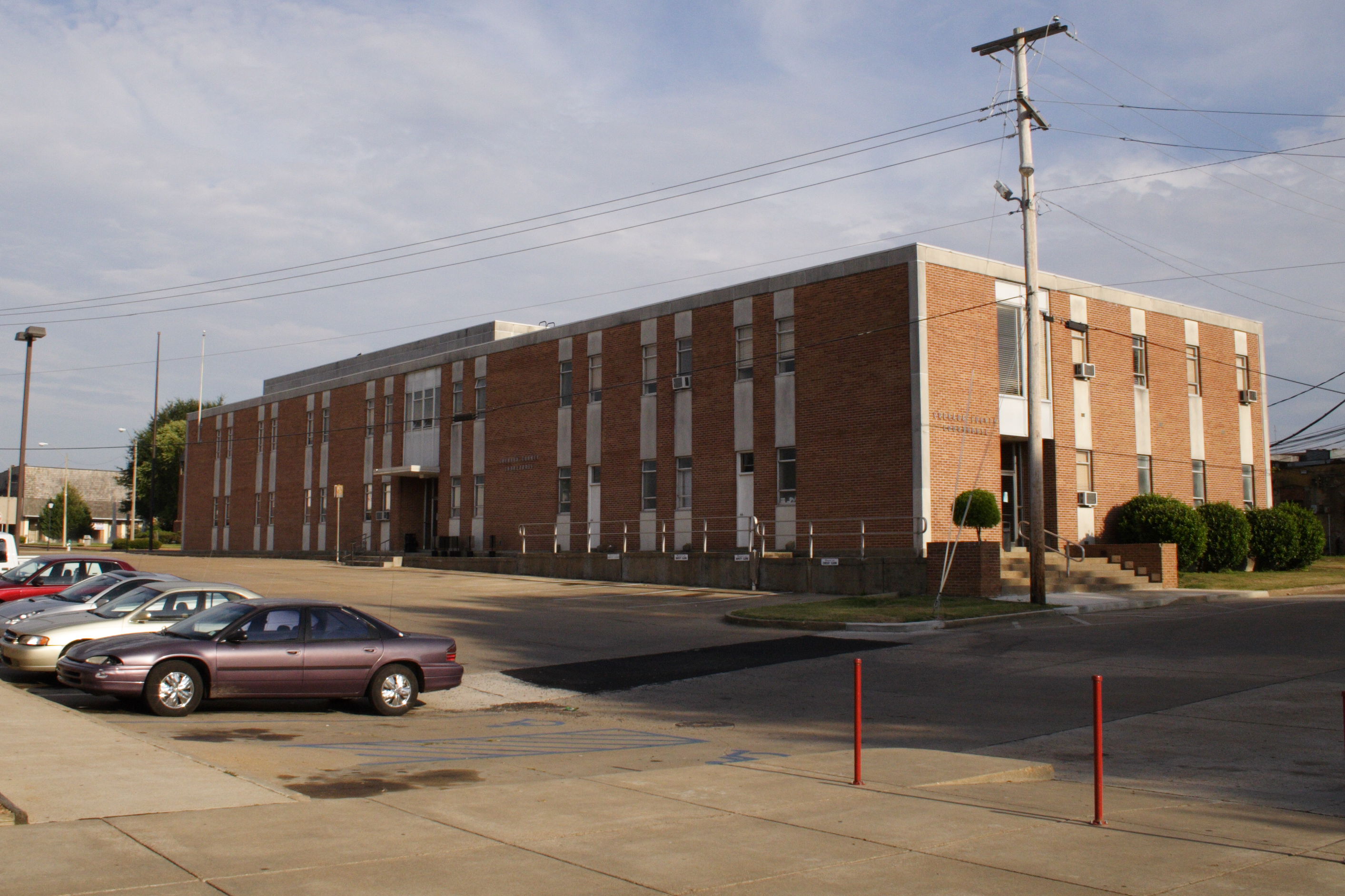
Grenada County courthouse
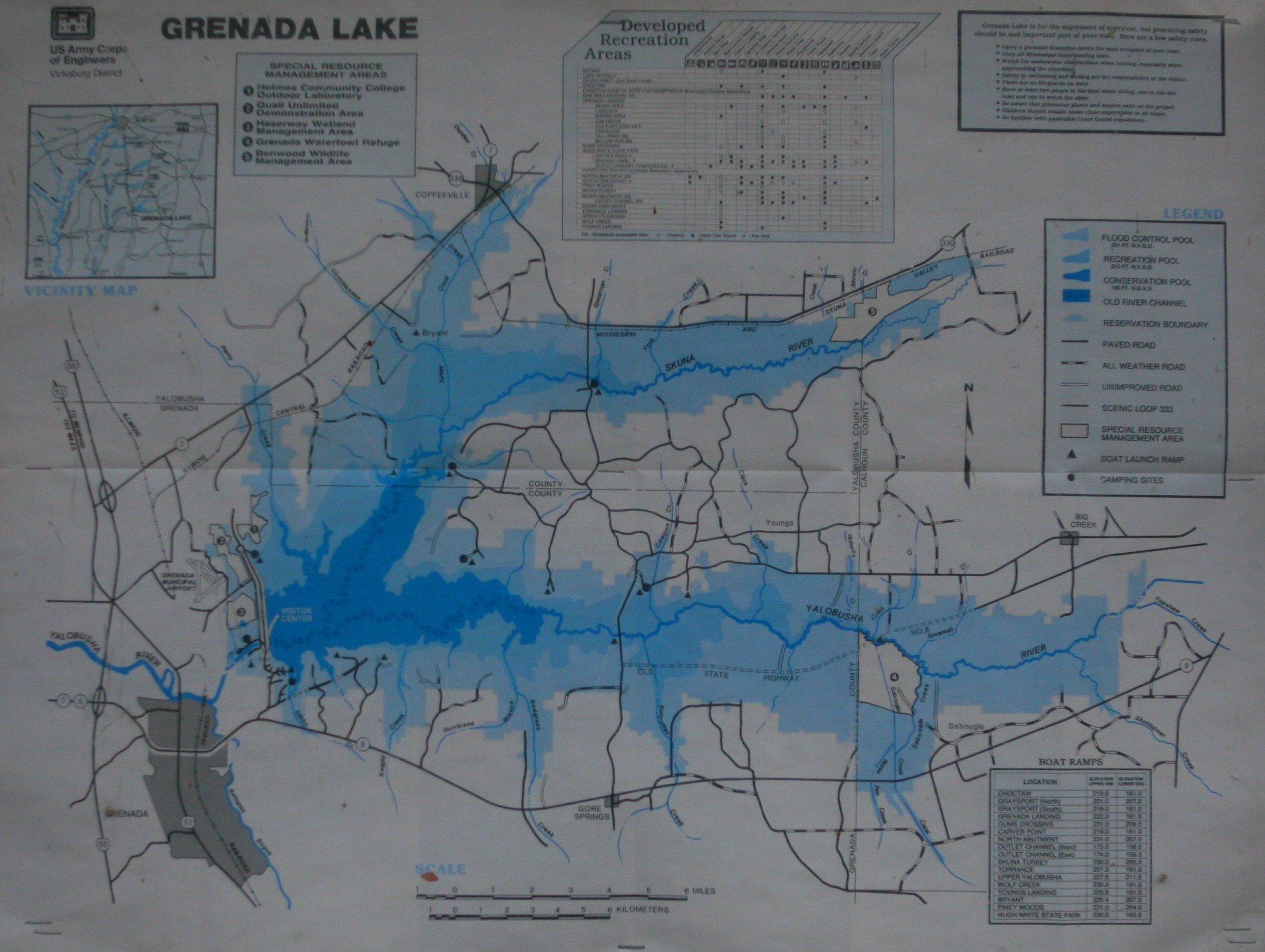
Grenada Lake Map
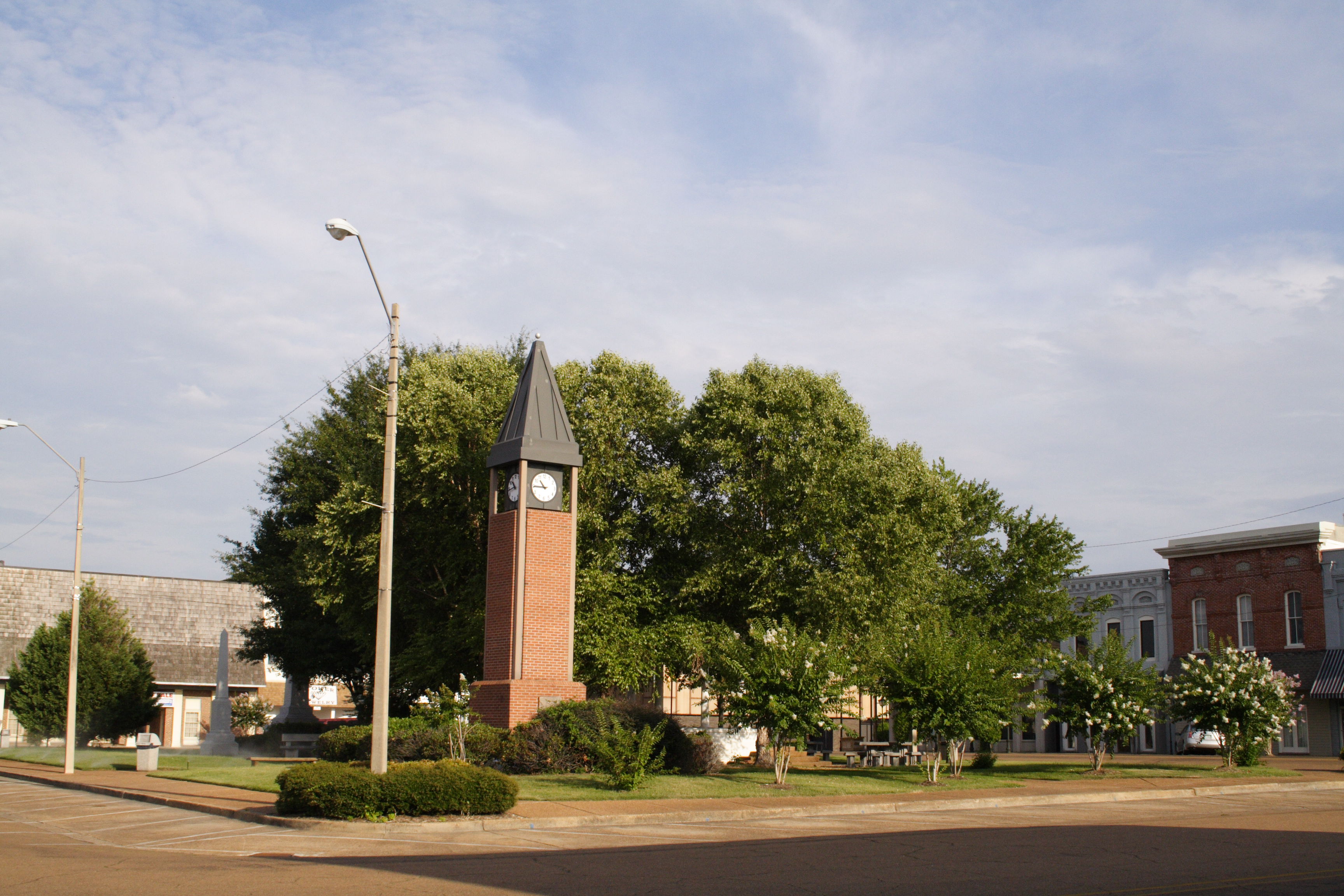
Grenada town square
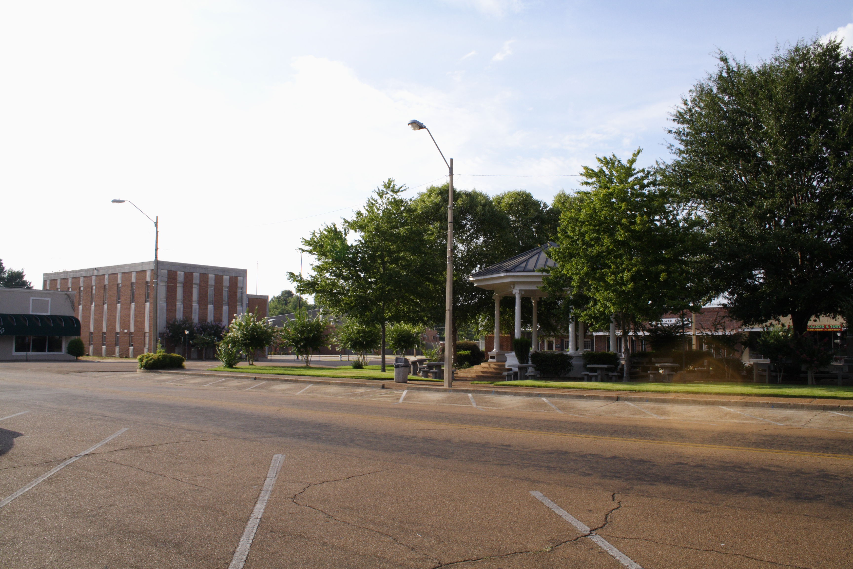
Grenada town square

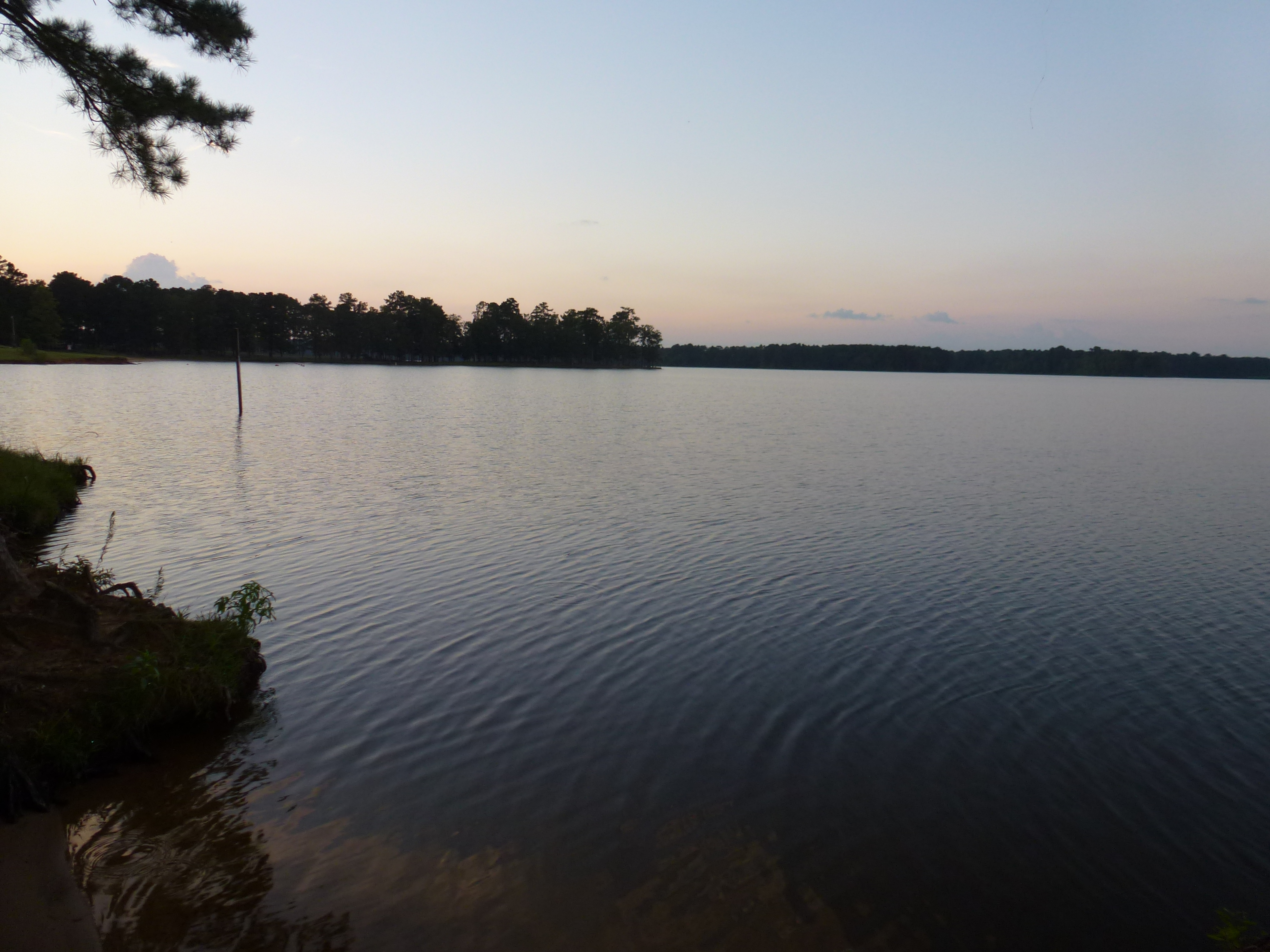
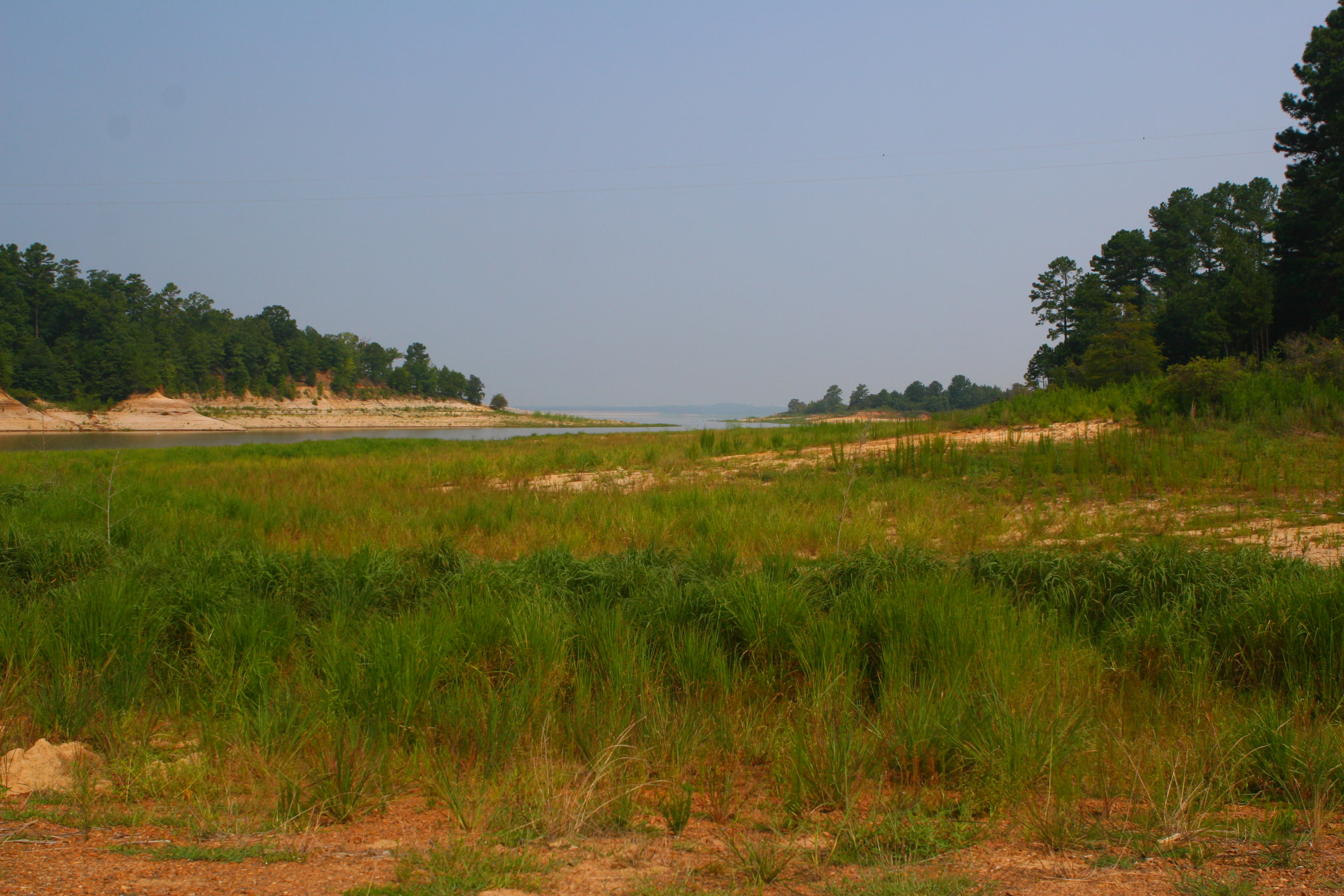
Grenada Lake
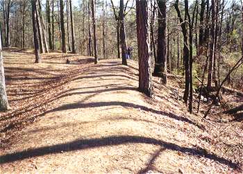
Civil War Earthworks at Grenada Lake
060 (5)
057 (5)
038 (7)
055 (5)
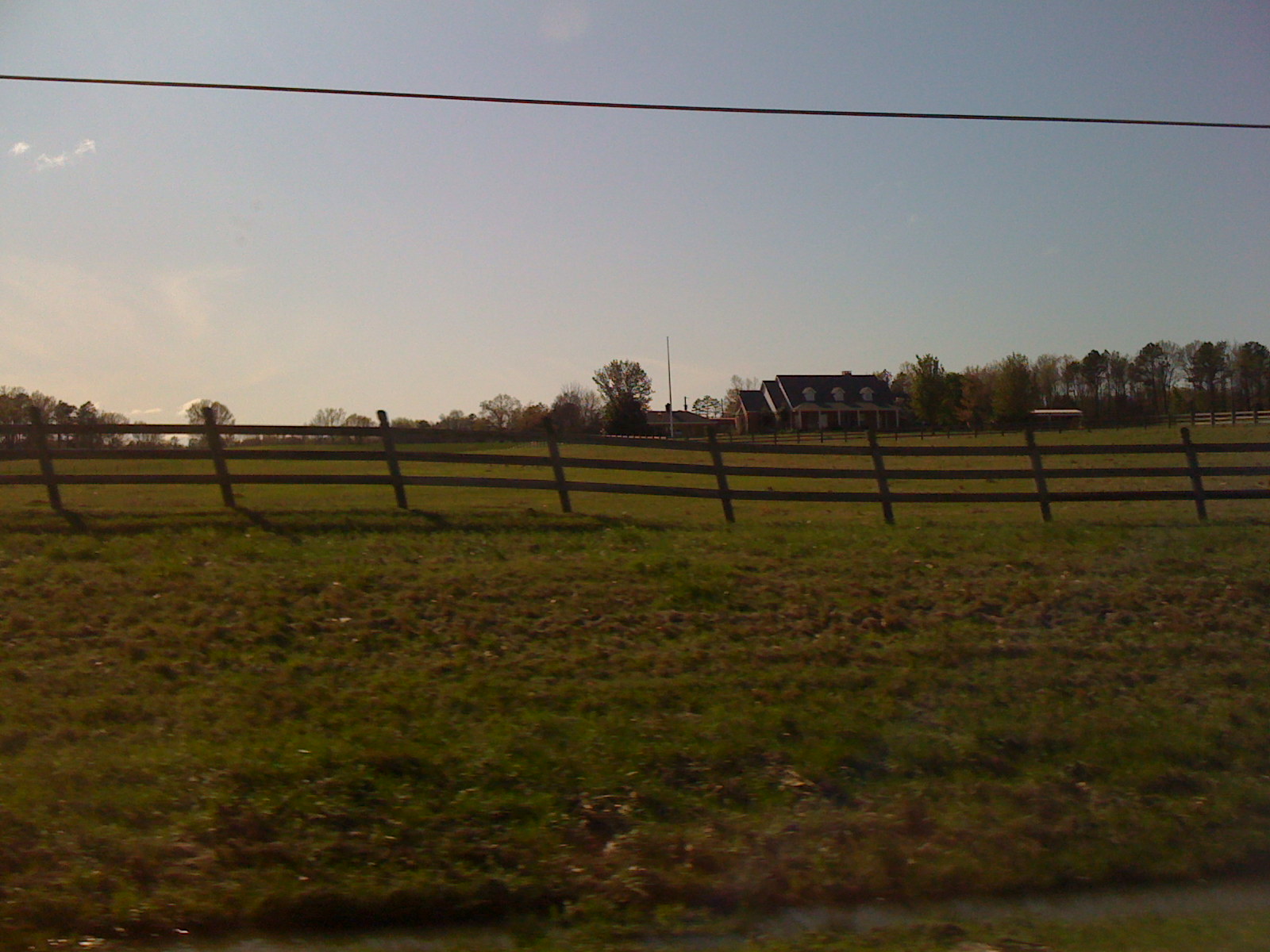
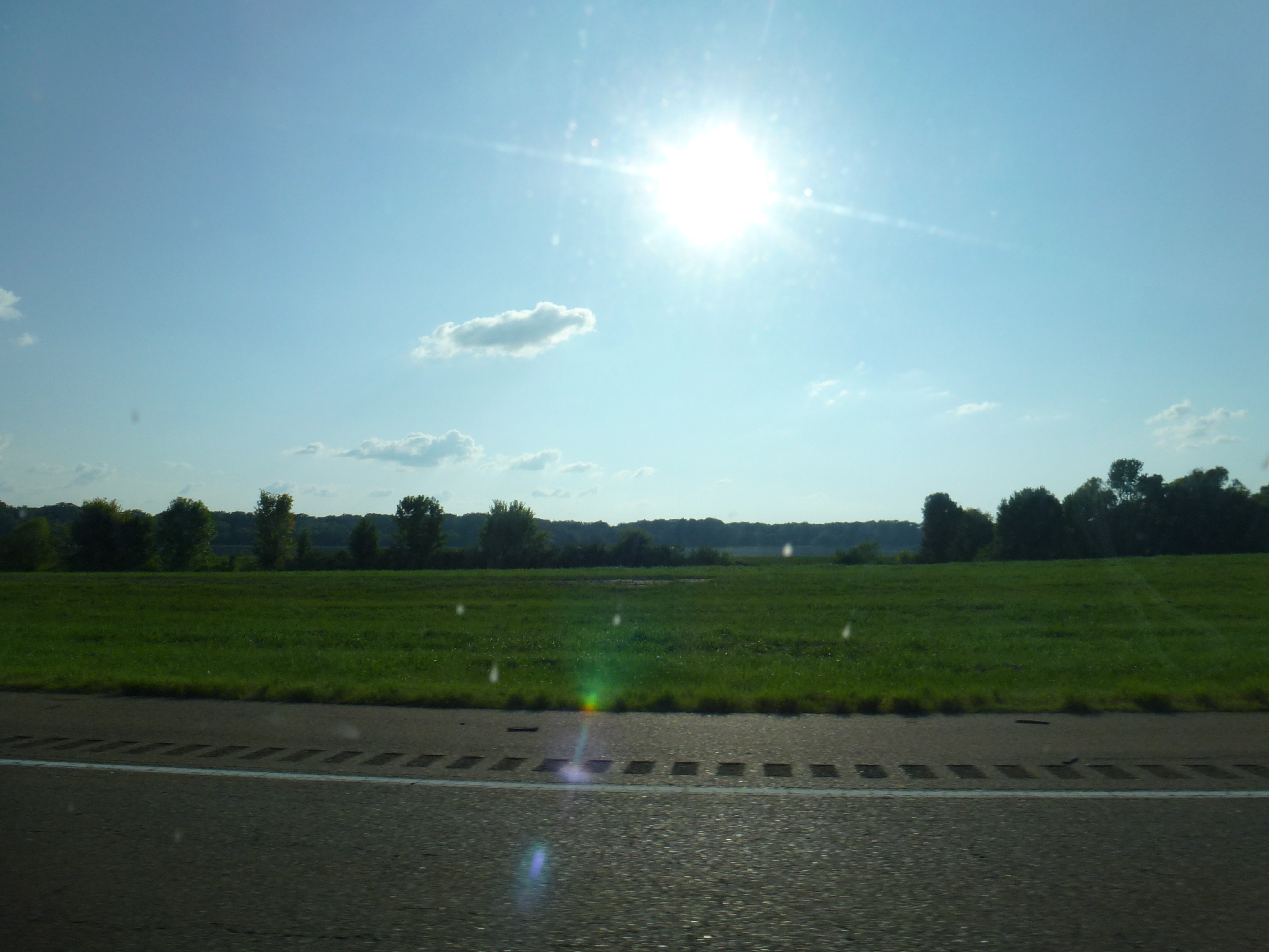
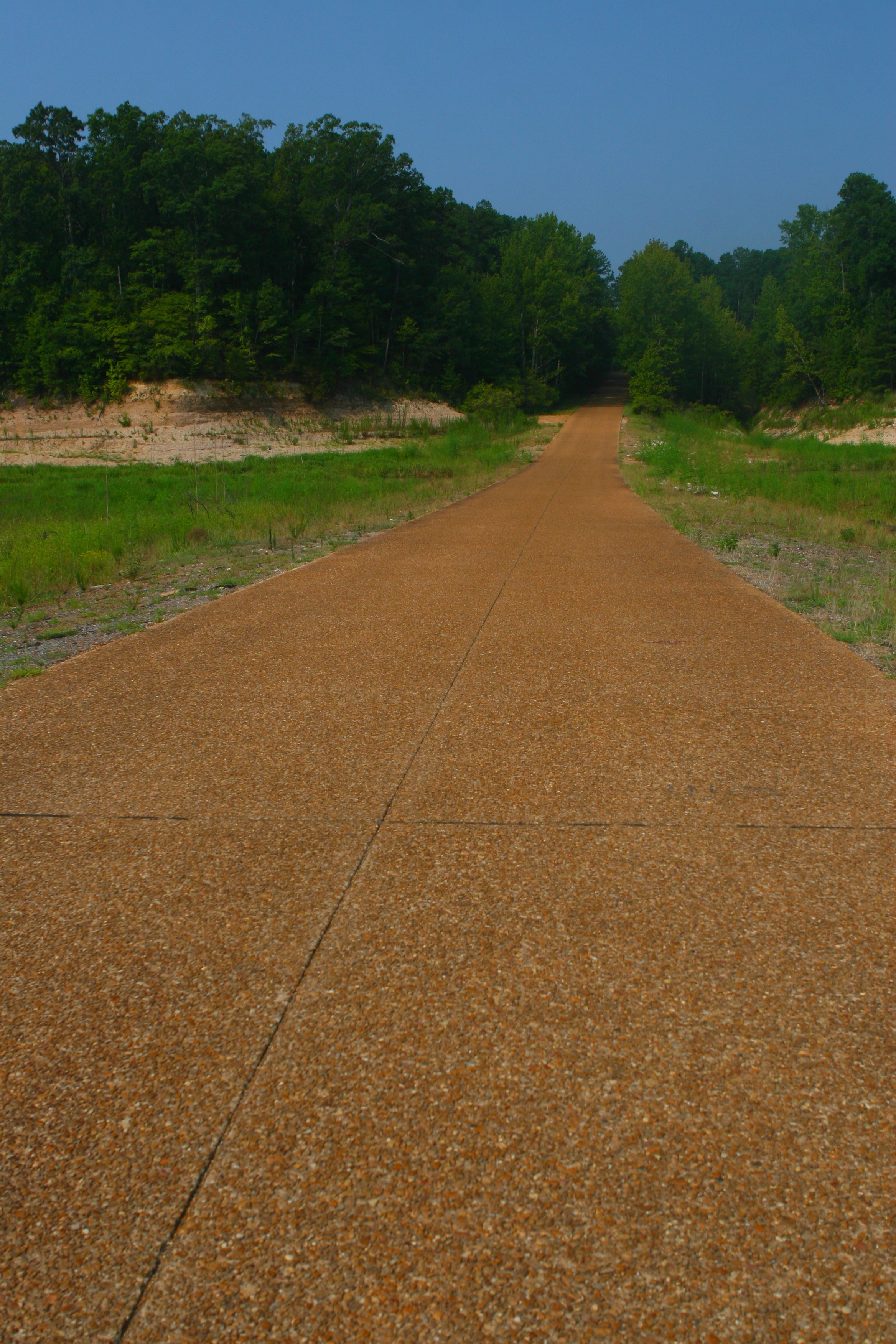
landscape @ route 51
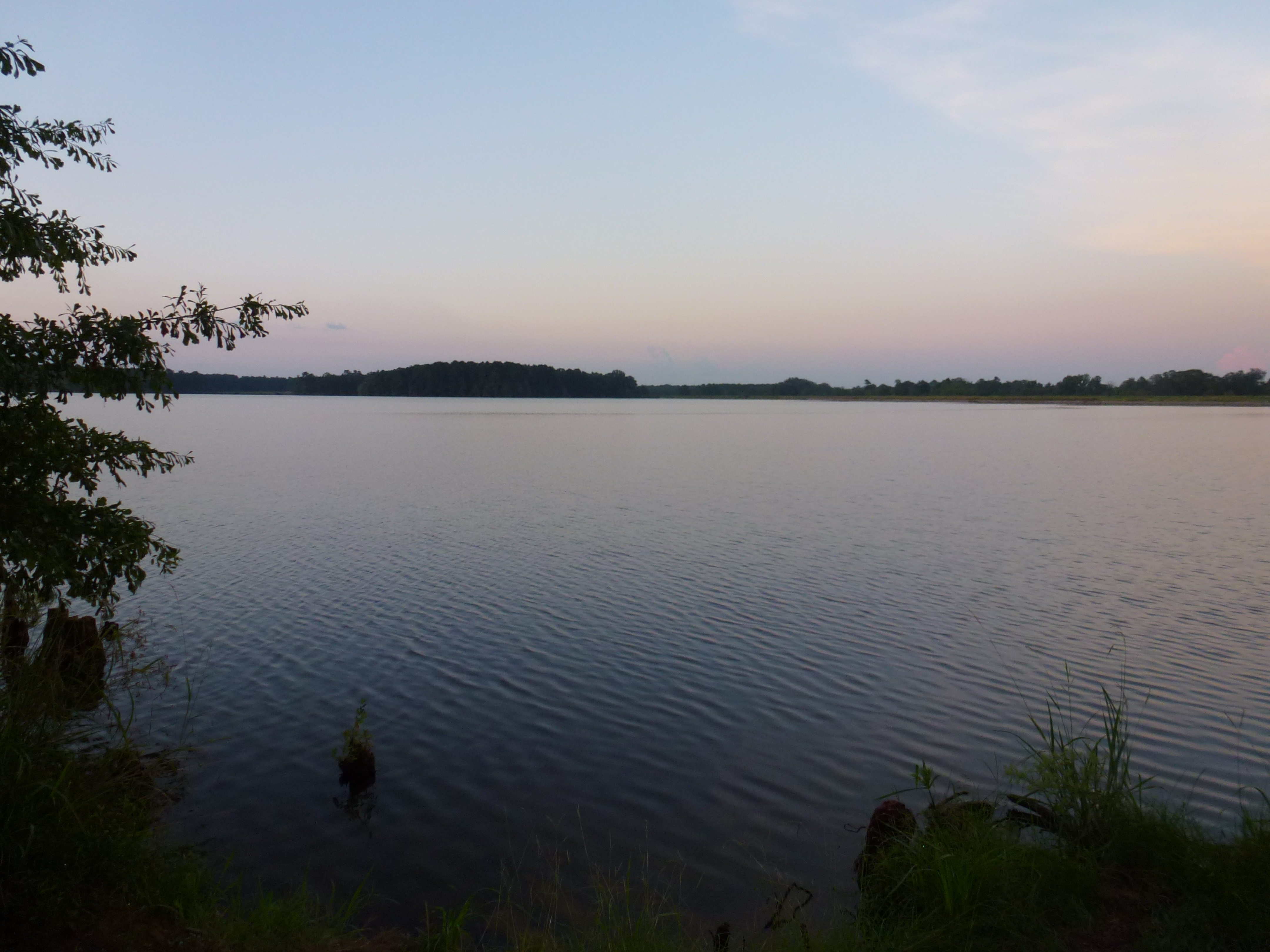
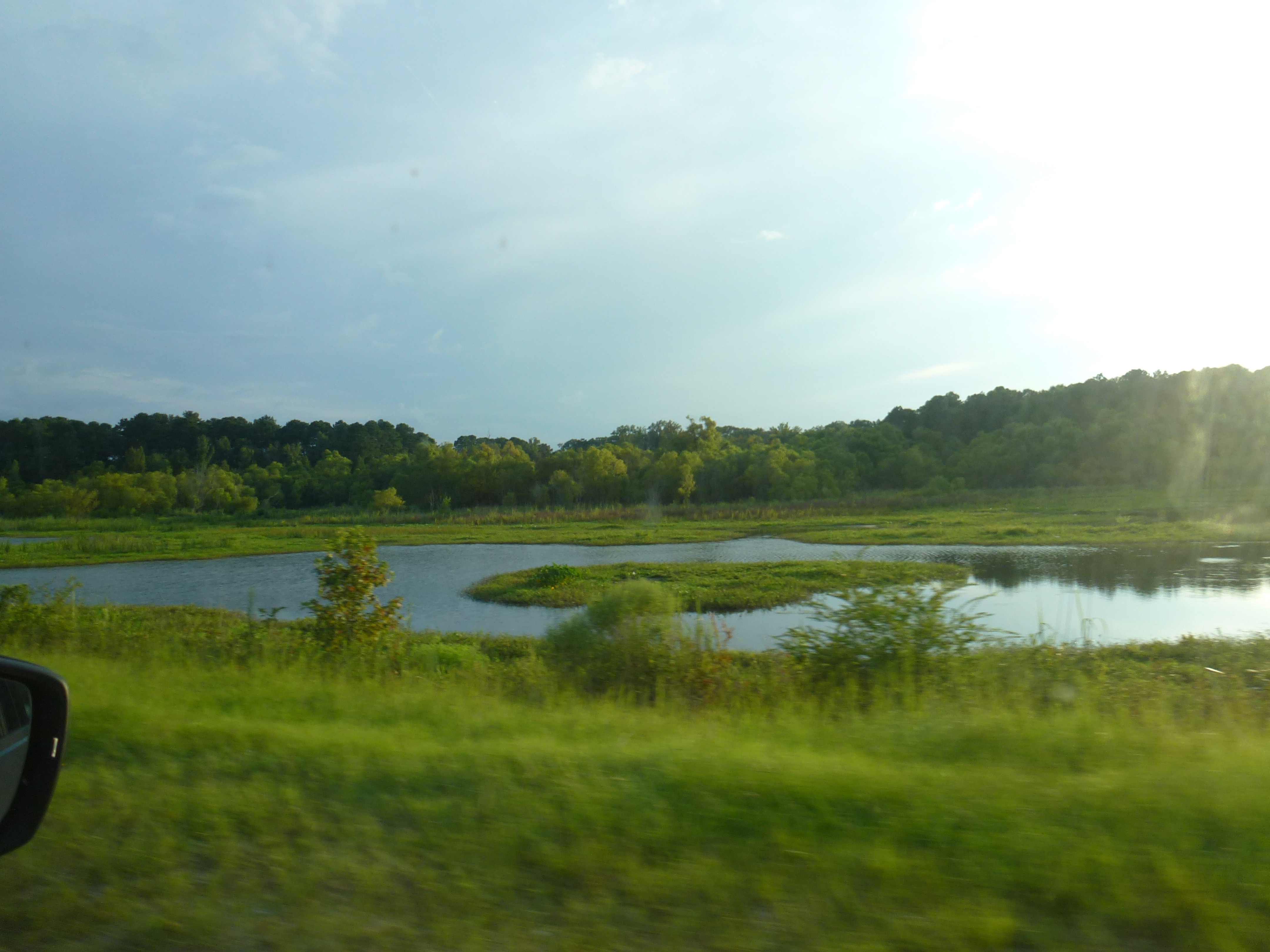
Grenada Lake
054 (5)

Grenada Lake
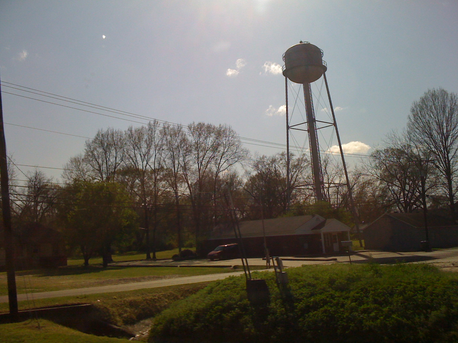
Old MS Hwy 8
landscape @ route 51
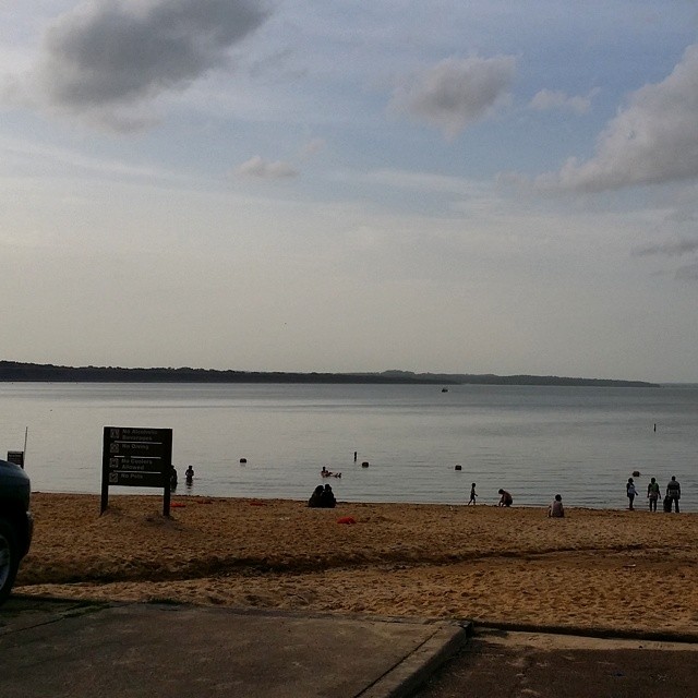
This was the 1st beach I ever went to as a kid. #BeachMemories
052 (5)
landscape @ route 51
Topographic Map of Camp McCain Rd, Grenada, MS, USA
Find elevation by address:

Places near Camp McCain Rd, Grenada, MS, USA:
Elliott
3984 Us-51
Duck Hill
Co Rd, Carrollton, MS, USA
County Road 83
Gordon Rd, Duck Hill, MS, USA
Mccarley
Montgomery County
Winona
110 S Front St
513 S Applegate St
Lodi Rd, Winona, MS, USA
Carroll County
Carrollton
Kilmichael
Vaiden
Front St, Vaiden, MS, USA
364 Poplar Creek Rd
Slate Springs
Embry Rd, Eupora, MS, USA
Recent Searches:
- Elevation of Elwyn Dr, Roanoke Rapids, NC, USA
- Elevation of Congressional Dr, Stevensville, MD, USA
- Elevation of Bellview Rd, McLean, VA, USA
- Elevation of Stage Island Rd, Chatham, MA, USA
- Elevation of Shibuya Scramble Crossing, 21 Udagawacho, Shibuya City, Tokyo -, Japan
- Elevation of Jadagoniai, Kaunas District Municipality, Lithuania
- Elevation of Pagonija rock, Kranto 7-oji g. 8"N, Kaunas, Lithuania
- Elevation of Co Rd 87, Jamestown, CO, USA
- Elevation of Tenjo, Cundinamarca, Colombia
- Elevation of Côte-des-Neiges, Montreal, QC H4A 3J6, Canada