Elevation of Poplar Creek Rd, Kilmichael, MS, USA
Location: United States > Mississippi > Montgomery County > Kilmichael >
Longitude: -89.566491
Latitude: 33.374063
Elevation: 108m / 354feet
Barometric Pressure: 100KPa
Elevation Map:
Satellite Map:
Related Photos:
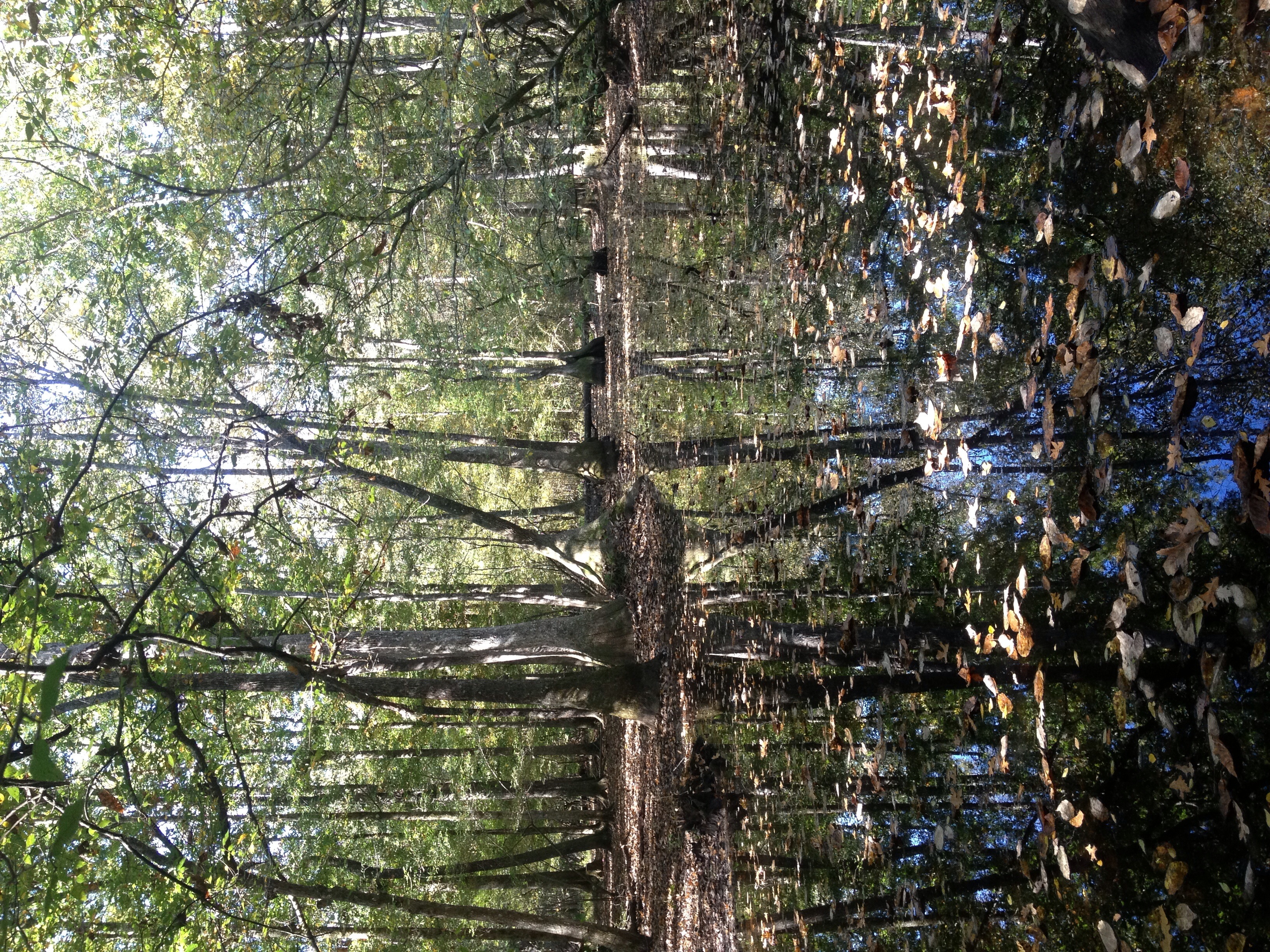
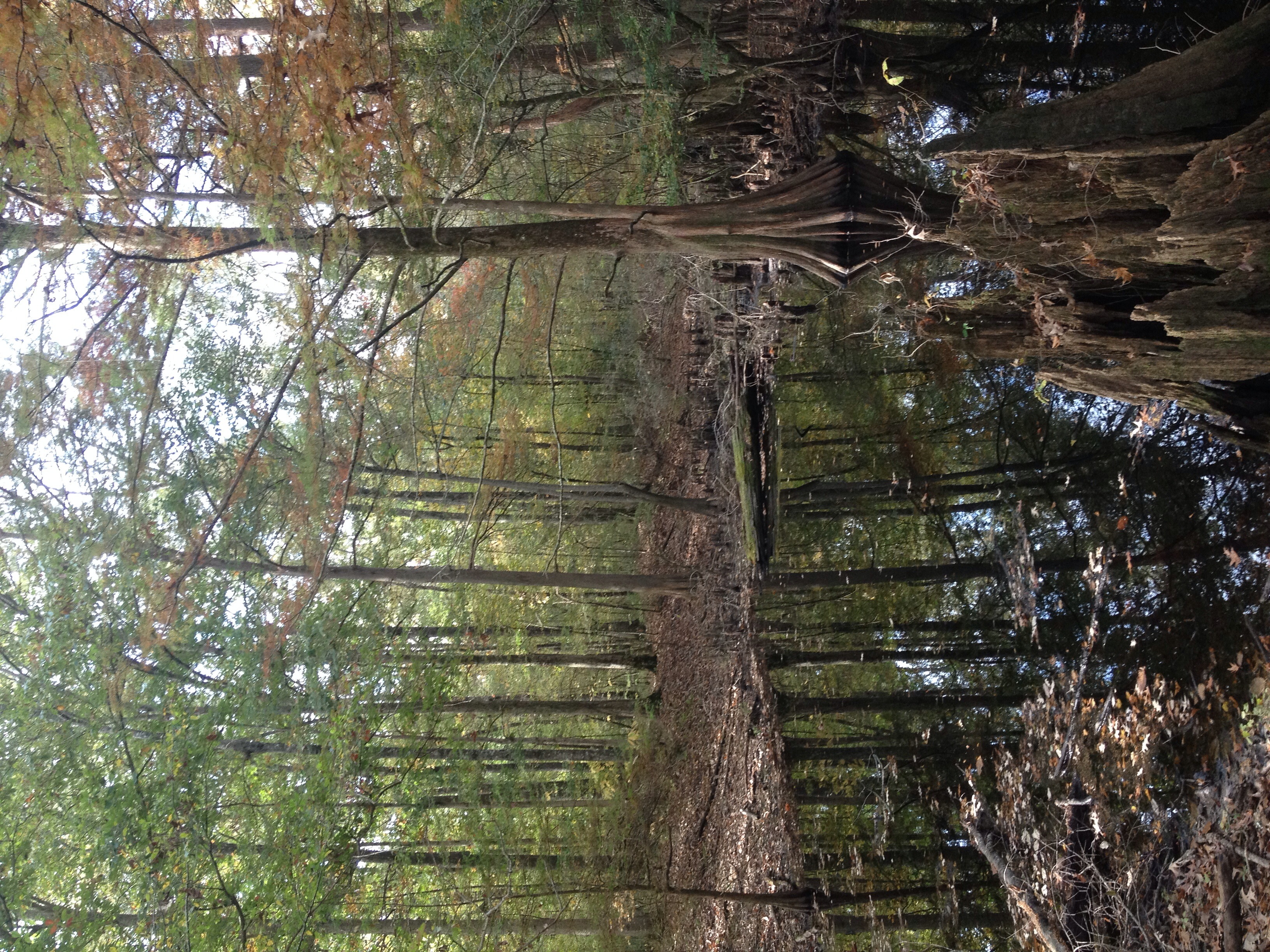
Cypress brake view in the Big Black River Basin.
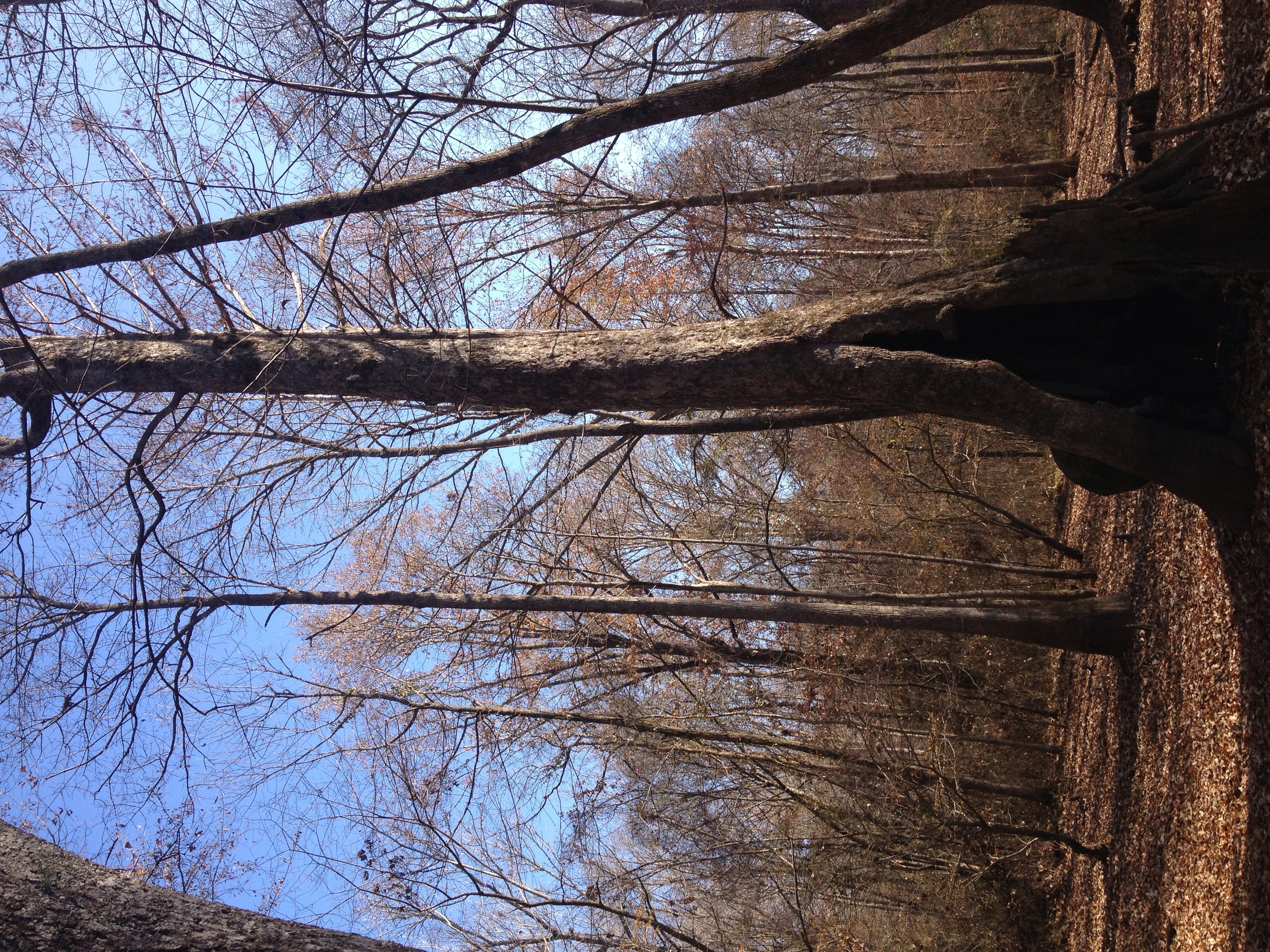
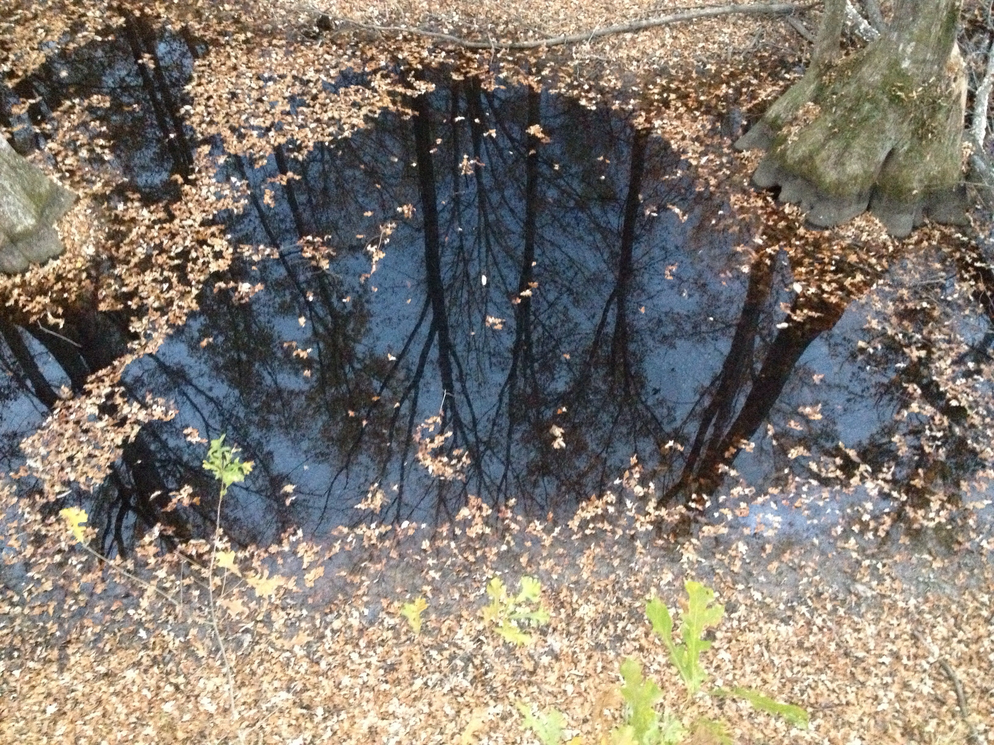
Cypress tree in a dry slough
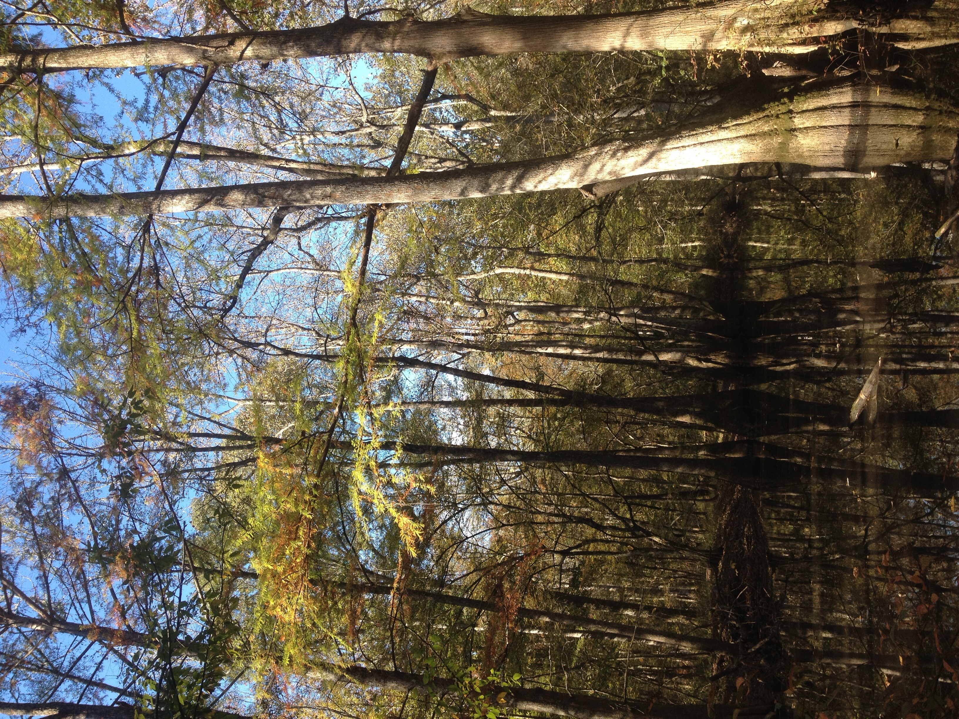
Big Black River Basin Hardwoods
Post Office 39767 (Stewart, Mississippi)
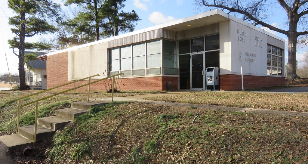
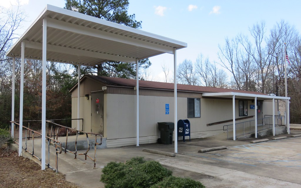
Post Office 39747 (Kilmichael, Mississippi)

Photo submission from WTVA Weather App

IMG_4368.jpg

IMG_4367.jpg

IMG_4364.jpg

IMG_4361.jpg

IMG_4359.jpg

IMG_4358.jpg

IMG_4357.jpg

IMG_4344.jpg

Cypress Tree
Reflections in a hardwood forest
Big Black River Basin Hardoods

Forest Fungi

Vintage loader-elevator used for hay and corn.
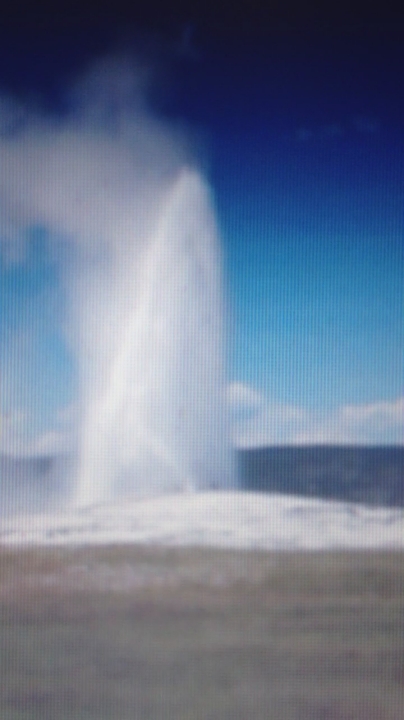
Old Faithful

Wildflowers growing through a bridge in rural Mississippi.
Topographic Map of Poplar Creek Rd, Kilmichael, MS, USA
Find elevation by address:

Places near Poplar Creek Rd, Kilmichael, MS, USA:
MS-, Kilmichael, MS, USA
Kilmichael
Mississippi 413
Lodi Rd, Winona, MS, USA
Montgomery County
Front St, Vaiden, MS, USA
Vaiden
French Camp
110 S Front St
Winona
513 S Applegate St
MS-43, Kosciusko, MS, USA
Attala County
Chester Mills Road
Mccool
Choctaw County
Co Rd, Kosciusko, MS, USA
MS-, McCool, MS, USA
26529 Ms-19
110 Ms-413
Recent Searches:
- Elevation of Congressional Dr, Stevensville, MD, USA
- Elevation of Bellview Rd, McLean, VA, USA
- Elevation of Stage Island Rd, Chatham, MA, USA
- Elevation of Shibuya Scramble Crossing, 21 Udagawacho, Shibuya City, Tokyo -, Japan
- Elevation of Jadagoniai, Kaunas District Municipality, Lithuania
- Elevation of Pagonija rock, Kranto 7-oji g. 8"N, Kaunas, Lithuania
- Elevation of Co Rd 87, Jamestown, CO, USA
- Elevation of Tenjo, Cundinamarca, Colombia
- Elevation of Côte-des-Neiges, Montreal, QC H4A 3J6, Canada
- Elevation of Bobcat Dr, Helena, MT, USA