Elevation of CA-44, Shingletown, CA, USA
Location: United States > California > Shasta County > Shingletown >
Longitude: -122.01493
Latitude: 40.5121449
Elevation: 494m / 1621feet
Barometric Pressure: 96KPa
Elevation Map:
Satellite Map:
Related Photos:
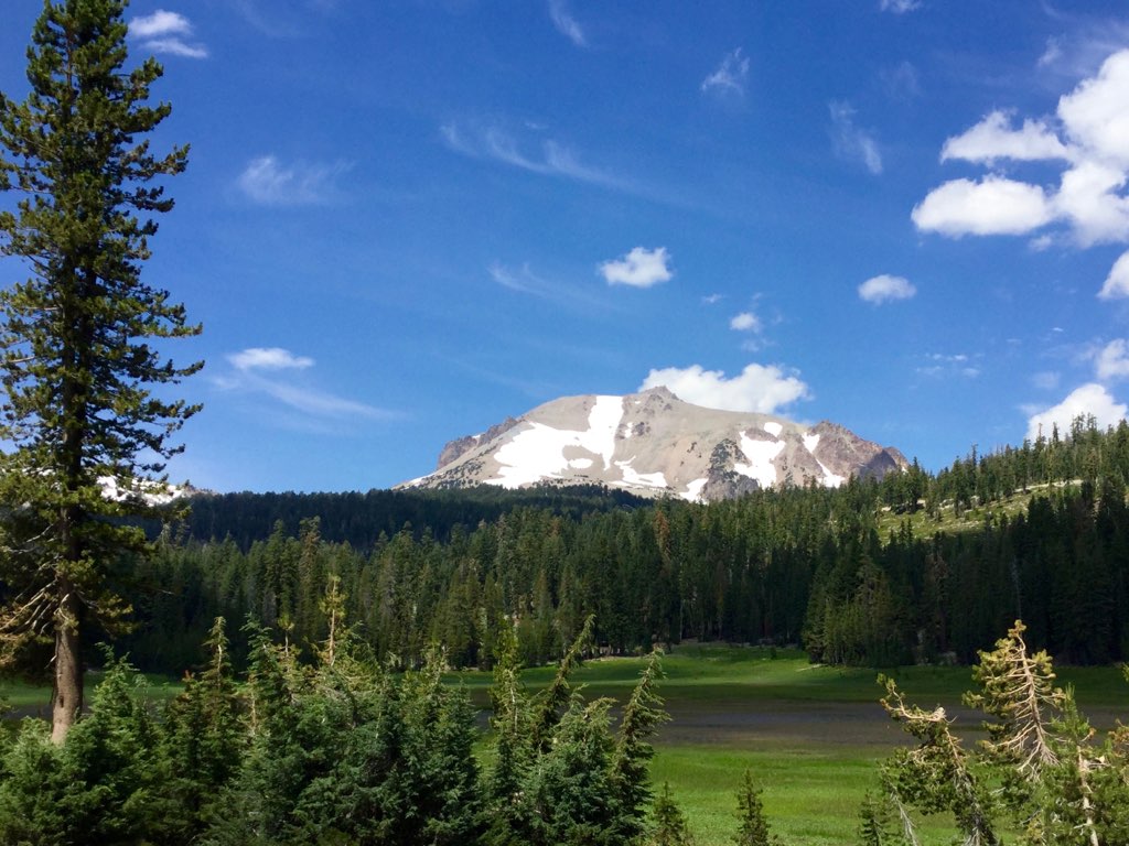
Roberts_80 Lassen Peak

Roberts_12 Fountain

Panoramic view from Larissa's deck

Lassen!

Roberts_7 Deck

Roberts_75 Summit Lake

A forest path in Redwoods State Park, California.
Lassen County Exploring

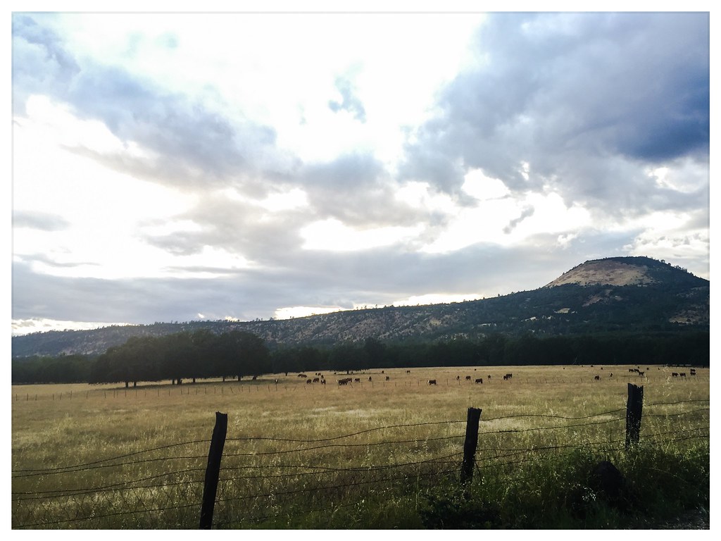
Sierra Nevada Landscape (Shasta County, California)

State of Jefferson Sign (Shasta County, California)

Horses enjoying freedom at the Wild Horse Sanctuary in Manton California

Roberts_81 Helen Lake

Sierra Nevada Landscape (Shasta County, California)

Off-grid-shipping-container-cabin-01
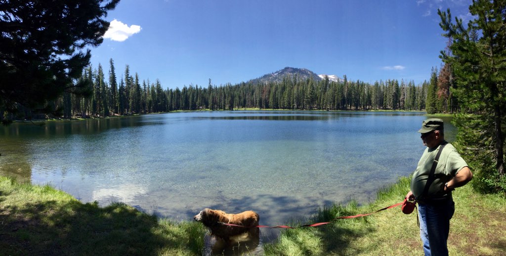
Roberts_76 Summit Lake

Variable Checkerspot (Euphydryas chalcedona)

Dreamy Duskywing

State of Jefferson Sign (Shasta County, California)

A closer look at the Wildfire

Western Tiger Swallotail

Roberts_74 Summit Lake

Common Roadside Skipper

California Tortoiseshell

A forest path in Redwoods State Park, California.

Montague 2012
Topographic Map of CA-44, Shingletown, CA, USA
Find elevation by address:

Places near CA-44, Shingletown, CA, USA:
27983 Cam Real
28498 Ca-44
7268 Black Butte Rd
25150 Ca-44
27019 Dersch Rd
Dersch Road
27202 Lack Creek Dr
S Cow Creek Rd, Millville, CA, USA
26100 Ca-44
25650 Cherith Brook Drive
25100 Ca-44
Millville
Dersch Road
23646 Impala Dr
Whitmore Rd, Millville, CA, USA
10624 Oak Run Rd
23590 Old 44 Dr
23681 Old 44 Dr
10202 Oak Run Rd
7891 Silver Bridge Rd
Recent Searches:
- Elevation of Calais Dr, Del Mar, CA, USA
- Elevation of Placer Mine Ln, West Jordan, UT, USA
- Elevation of E 63rd St, New York, NY, USA
- Elevation of Elk City, OK, USA
- Elevation of Erika Dr, Windsor, CA, USA
- Elevation of Village Ln, Finleyville, PA, USA
- Elevation of 24 Oakland Rd #, Scotland, ON N0E 1R0, Canada
- Elevation of Deep Gap Farm Rd E, Mill Spring, NC, USA
- Elevation of Dog Leg Dr, Minden, NV, USA
- Elevation of Dog Leg Dr, Minden, NV, USA