Elevation of Old 44 Dr, Millville, CA, USA
Location: United States > California > Shasta County > Millville >
Longitude: -122.18937
Latitude: 40.558382
Elevation: 149m / 489feet
Barometric Pressure: 100KPa
Elevation Map:
Satellite Map:
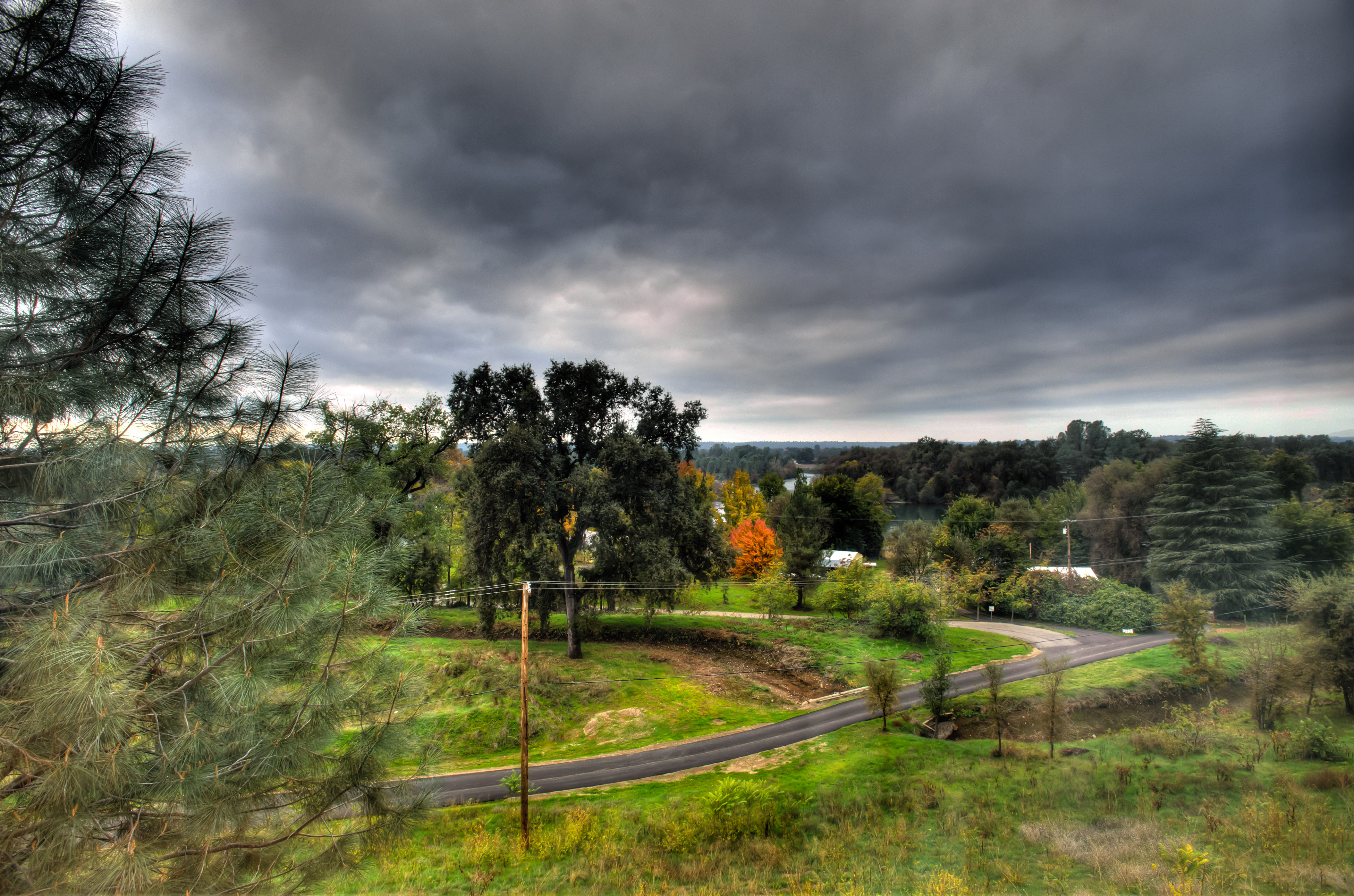
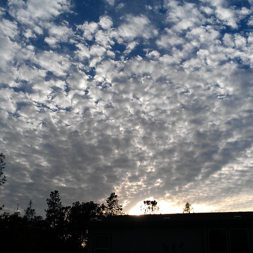
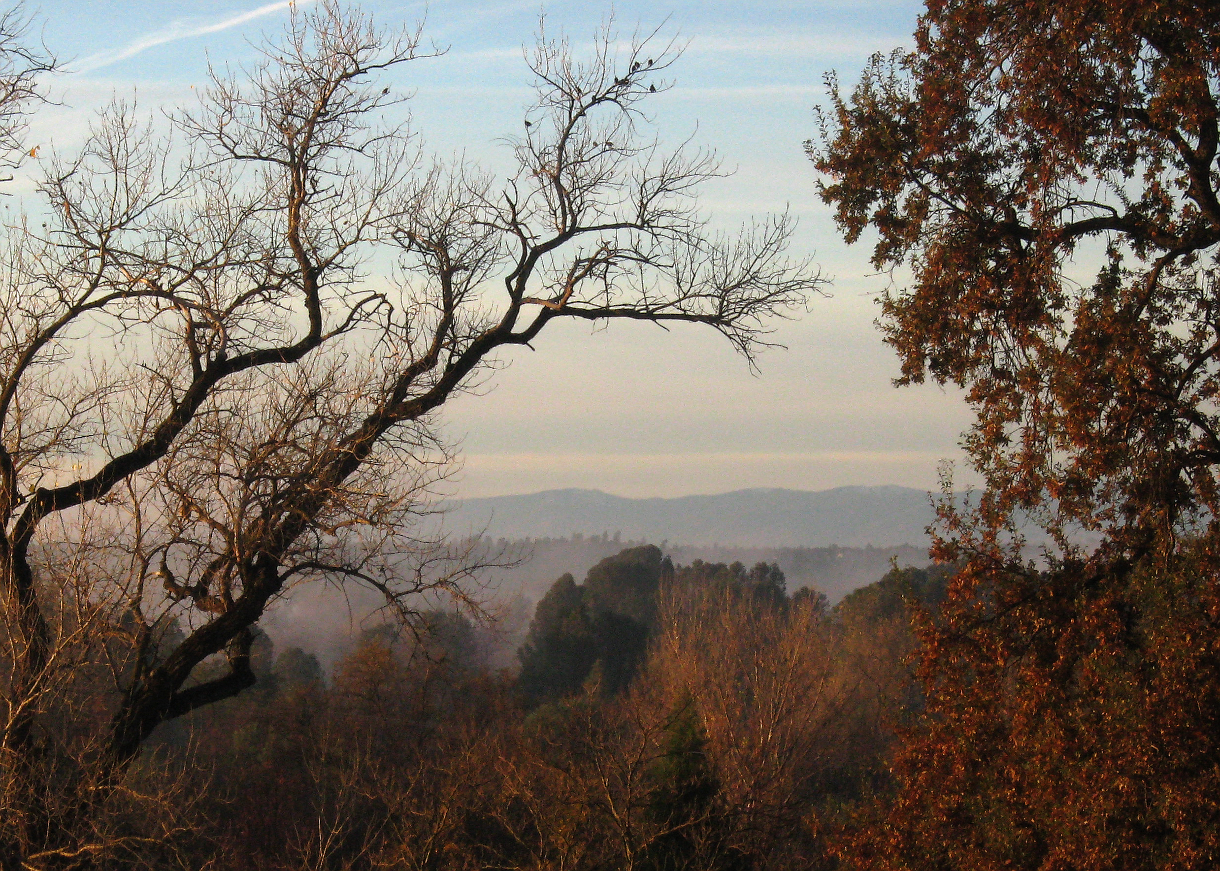
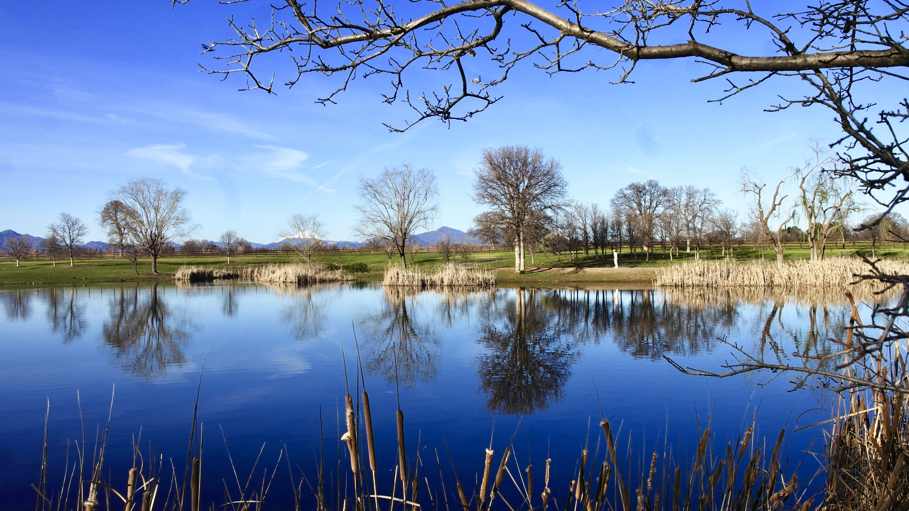
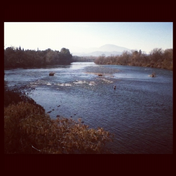
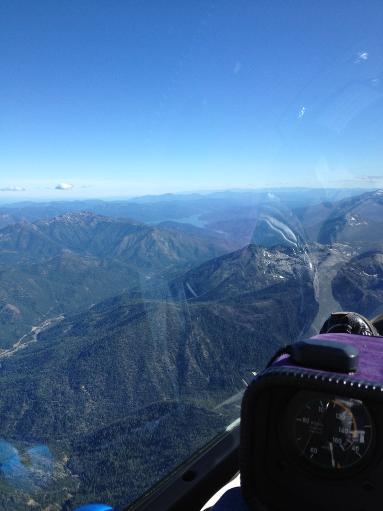
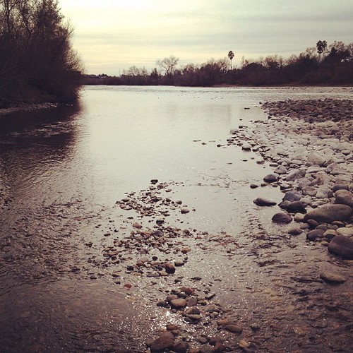
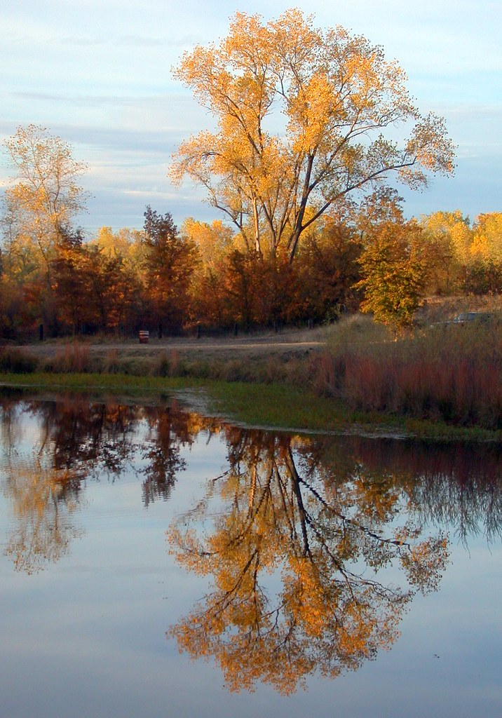
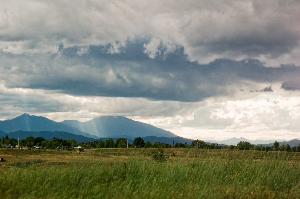
Related Photos:

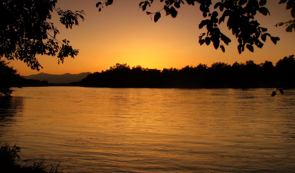
Changed hotels. Here's the view from the room - sunset on the Sacramento River. #roadtrip #redding #california #hotel #view #Sacramento #river #instagold #instagood #instagram #igdaily #igaddicts #ipodtouch #ipod

Redding, CA OES Fire Engine 329 for Shasta County

View just now from the hotel room. #sunset #colorful #clouds #sky #evening #winter #redding #california #roadtrip #Creation #beauty #ipod #ipodtouch #igdaily #igaddicts #instagold #instagood #instagram
Morning View

Mt. Shasta
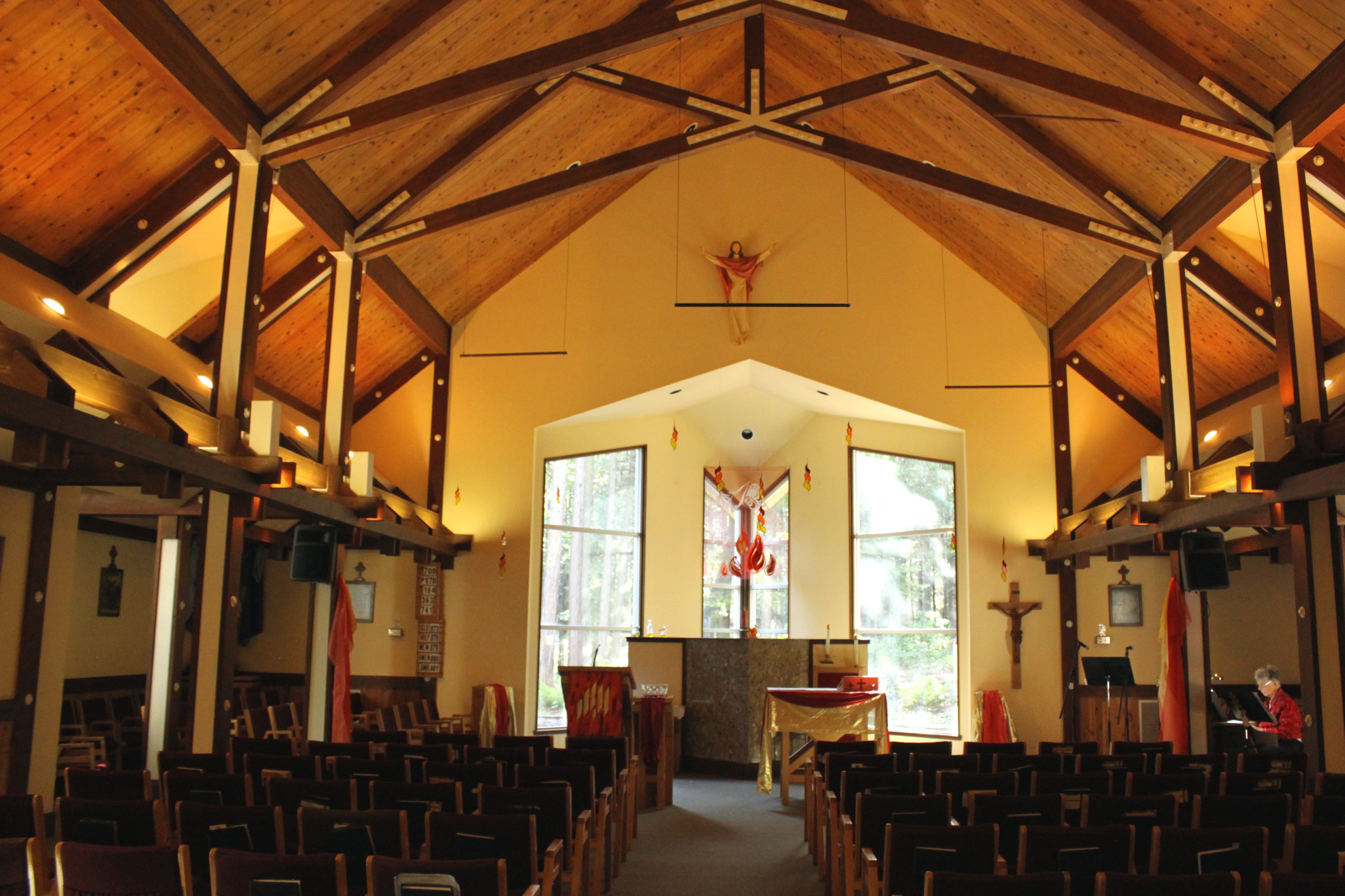
Our Lady of Mercy Parish
The view leaving moms house today.
Redding morning
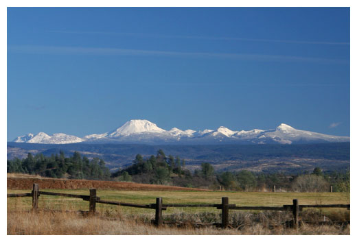
Mt. Lassen
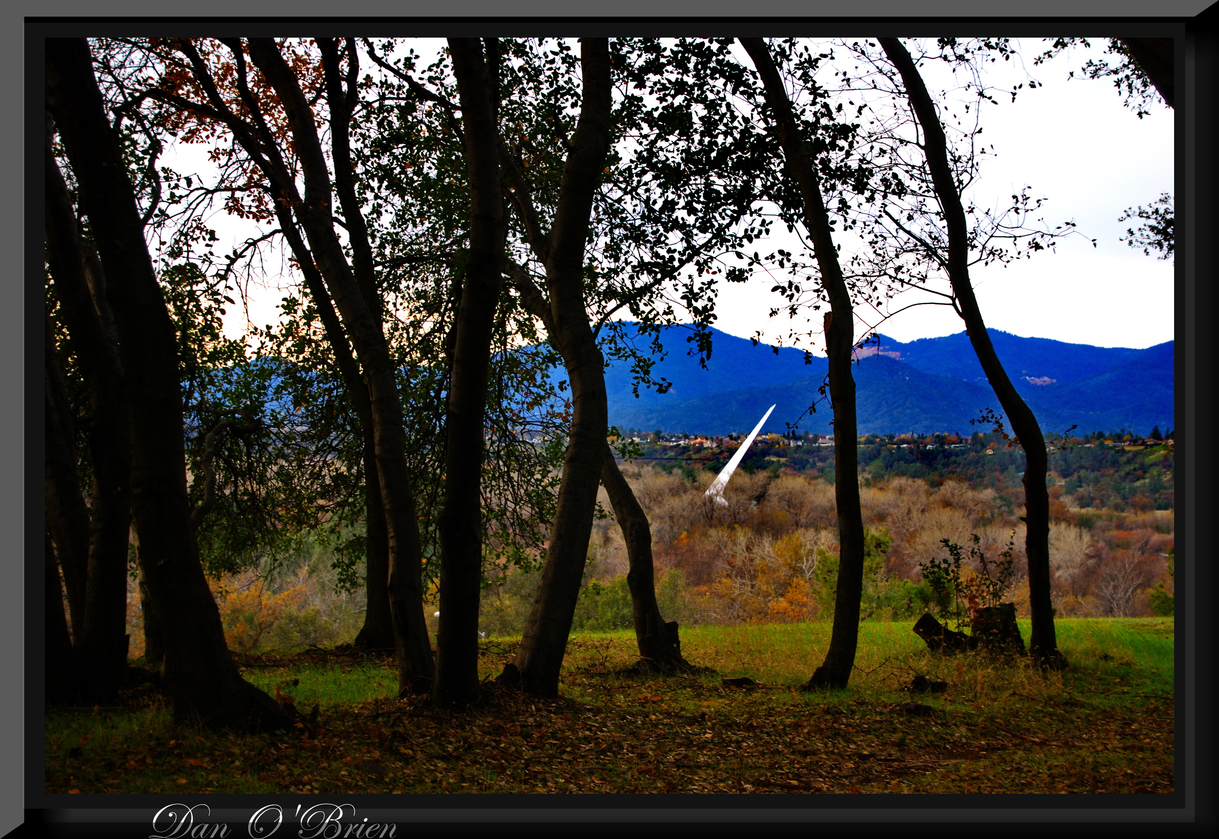
O'B (20)
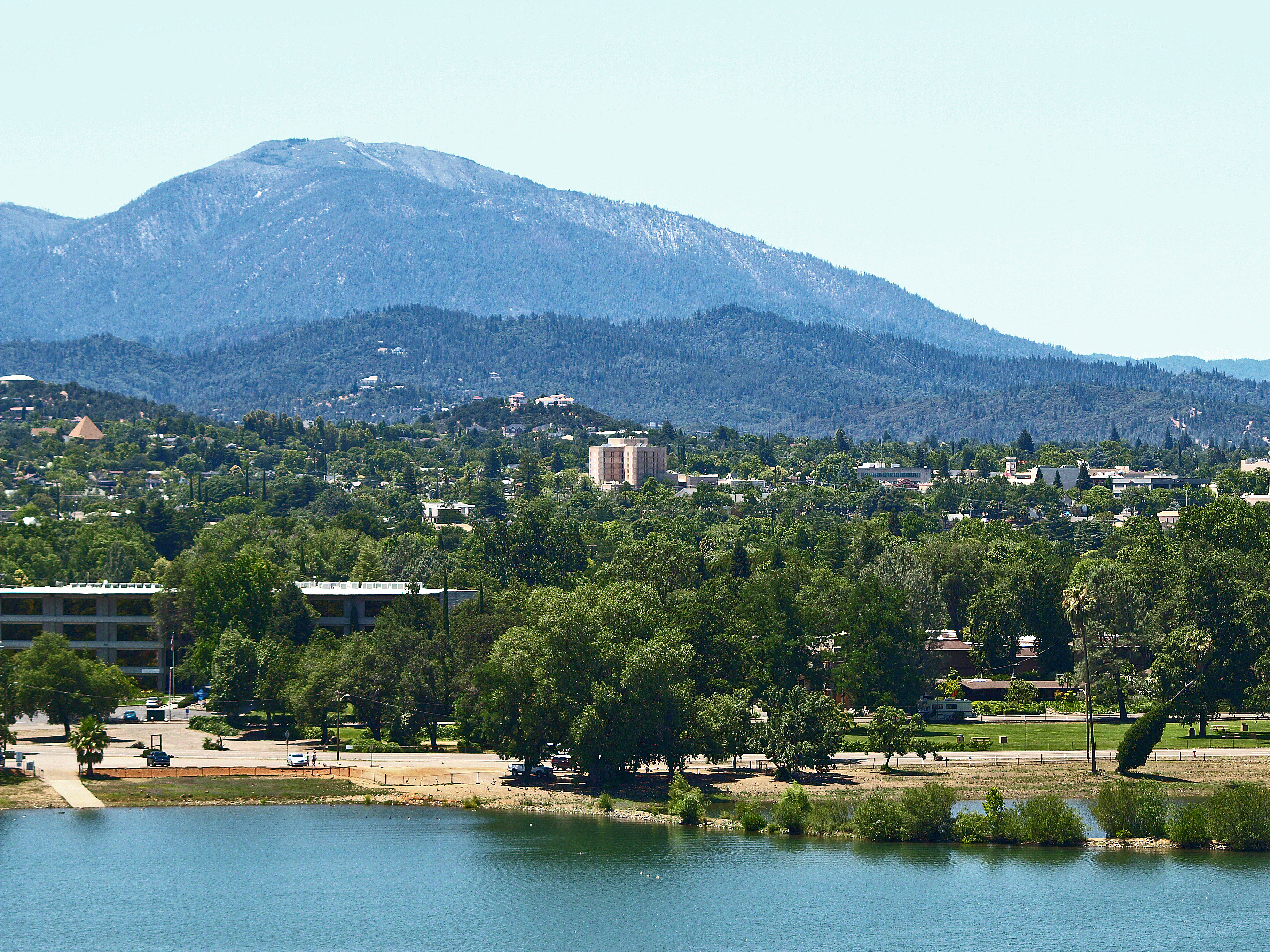
A View of Redding, California

Interstate 5 Northbound Shasta Valley Freeway approaching Exit 680 - State Highway Junction Route CA-299 1/2 mile, Exit 681 - Twin View Blvd. 1 1/2 miles and Exit 682 - Oasis Road 2 1/2 miles with this roadside sign located at Shasta County - Redding, Cal

CHP - (135) Redding Office area

O'B (4)

Interstate 5 Northbound Shasta Valley Freeway approaching Exit 681 - Twin View Blvd. exit 3/4 mile + Fuel, Lodging, Food Services exit ahead with this roadside sign located at Shasta County - Redding, California.

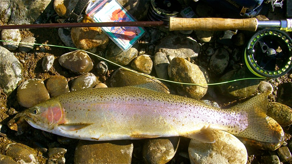
A FISH MISSED
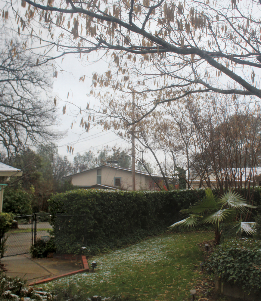
New Years snow
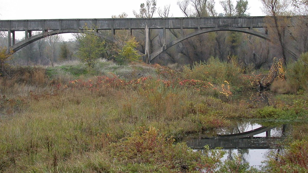
LOWER SACRAMENTO @PARK VIEW BRIDGE
O'BD80 (1)
Full view of Dino House

Interstate 5 Northbound Shasta Valley Freeway - Cascade Wonderland Highway approaches at Exit 680 - State Highway Junction Route CA-299 Lake Blvd. (Exit Ramp 50 MPH) followed by Exit 681 - Twin View Blvd. 1 mile with this roadside sign located at
Beautiful Ending
Park Lake
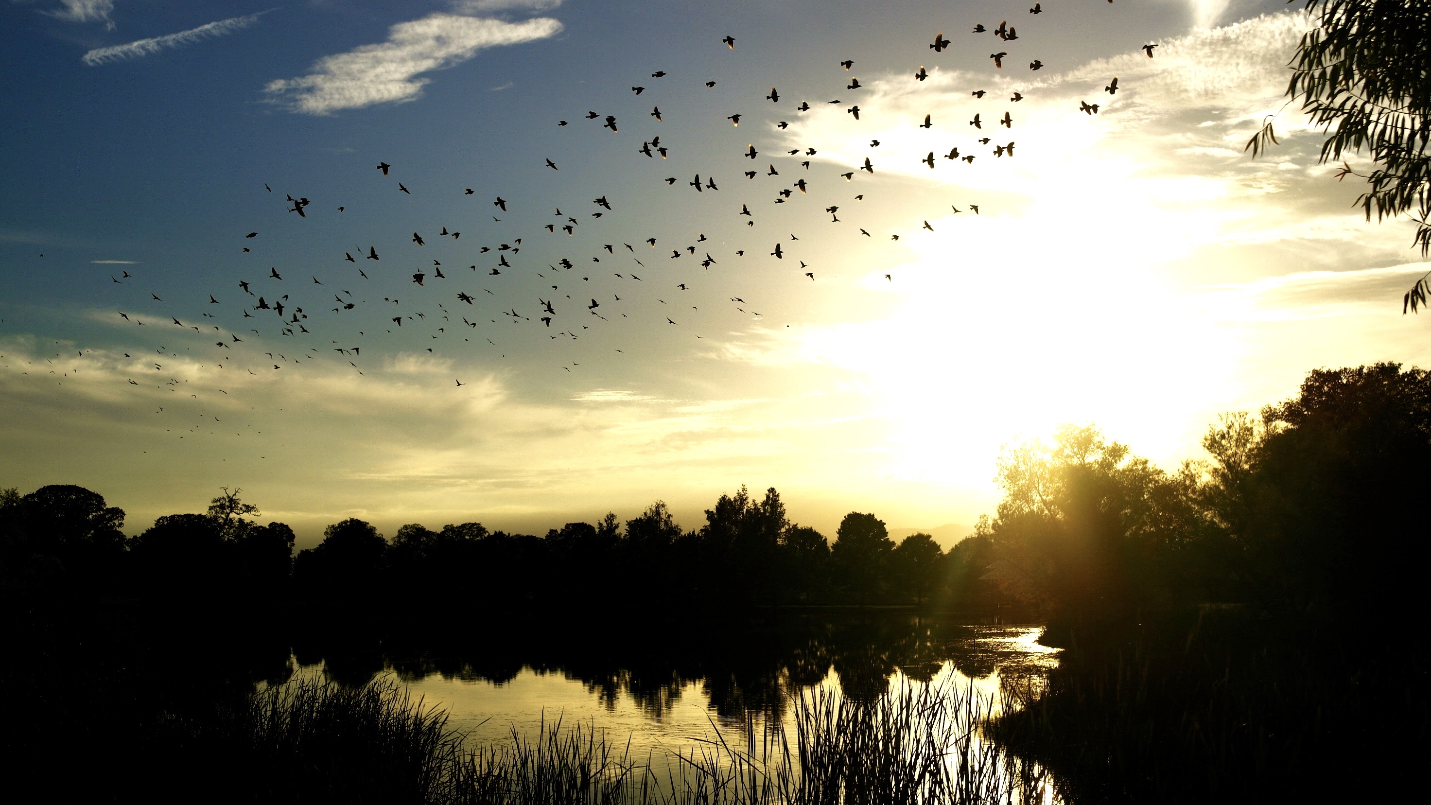
Birds in the Sunset
A man fly fishing in the Sacramento River. #sacramento #river #redding #california #roadtrip #sunny #blue #sky #fly #fishing #roadtrip #california #instagram #instagold #instagood #igaddicts #ipodtouch #igdaily #ipod
Sunrise at Simpson [03.29.13]
Anderson Aquaduct_03
Random photography
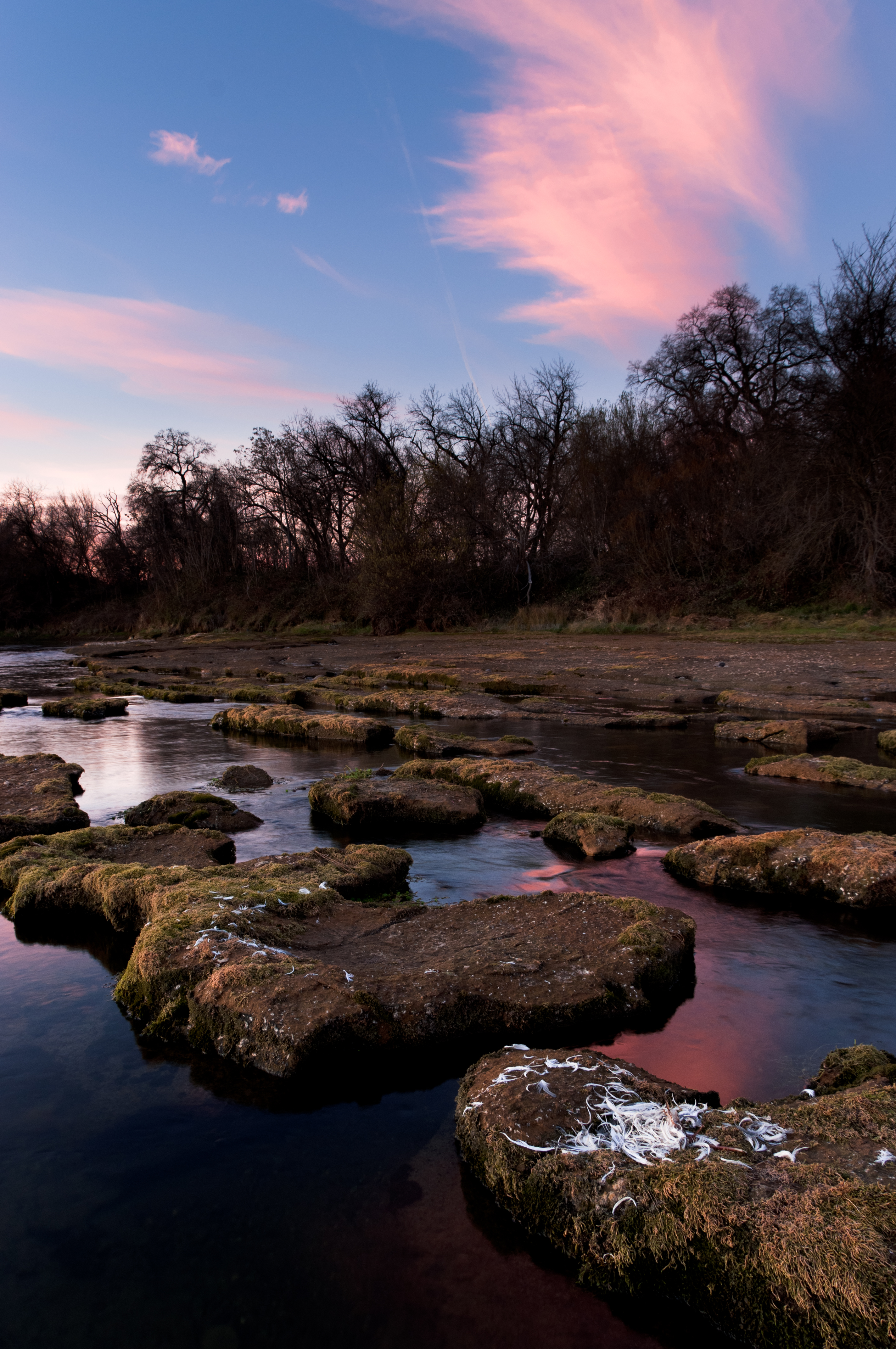
sacramento river sunset
Redding Sunset
Lights/abstract
All Photos-2659
Anderson Aquaduct_07
All Photos-2630
Montague 2012
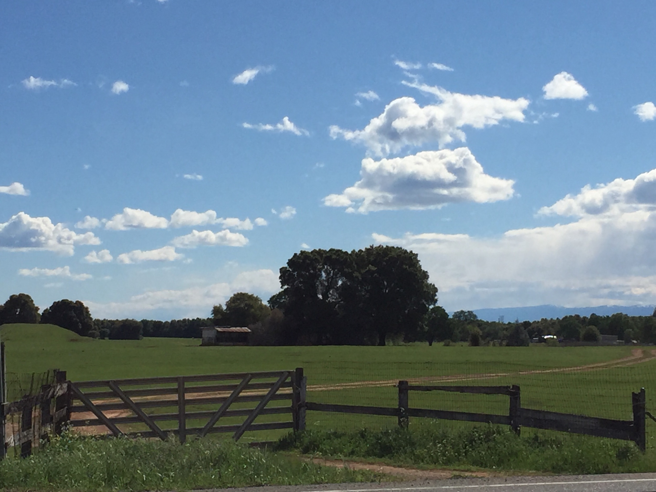
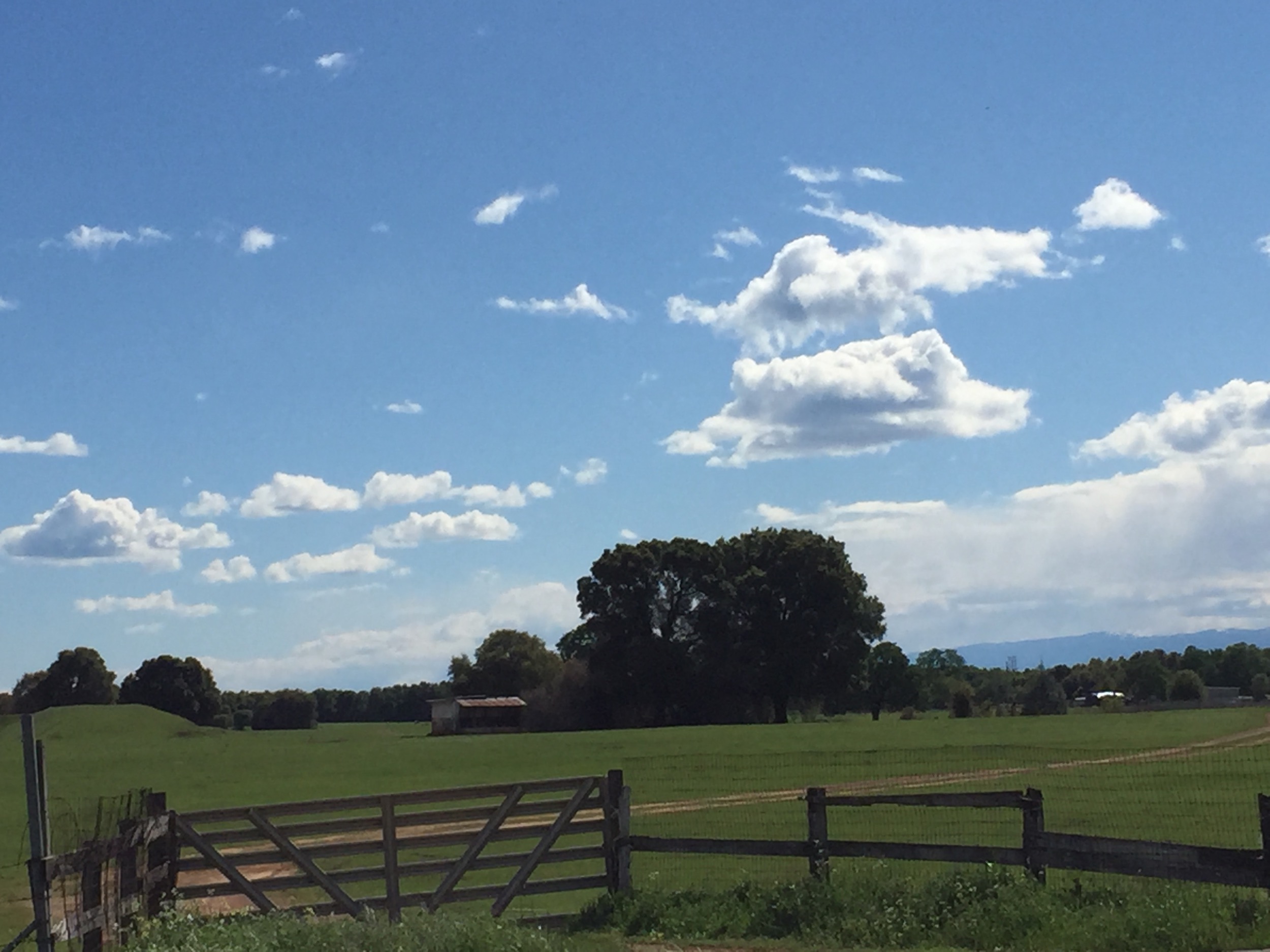
Love this location :)
Anderson River Park_10

Shasta Lake #lake #Shasta #blue #sky #evergreen #trees #california #ipod #ipodtouch #igdaily #instagood #instagram #instagold #igaddicts #winter #day #warm #california

Corn field
Looking West in Redding
Topographic Map of Old 44 Dr, Millville, CA, USA
Find elevation by address:

Places near Old 44 Dr, Millville, CA, USA:
23590 Old 44 Dr
Whitmore Rd, Millville, CA, USA
10202 Oak Run Rd
10624 Oak Run Rd
North Cow Creek
Palo Cedro
Deschutes Rd, Palo Cedro, CA, USA
22141 Los Robles Dr
22141 Los Robles Dr
7891 Silver Bridge Rd
23646 Impala Dr
10731 Deschutes Rd
9308 Redtail Ln
25100 Ca-44
Millville
9925 Logan Rd
21780 Los Altos Dr
Dersch Road
21009 Hackett Ln
10708 Green Oaks Ln
Recent Searches:
- Elevation of Elwyn Dr, Roanoke Rapids, NC, USA
- Elevation of Congressional Dr, Stevensville, MD, USA
- Elevation of Bellview Rd, McLean, VA, USA
- Elevation of Stage Island Rd, Chatham, MA, USA
- Elevation of Shibuya Scramble Crossing, 21 Udagawacho, Shibuya City, Tokyo -, Japan
- Elevation of Jadagoniai, Kaunas District Municipality, Lithuania
- Elevation of Pagonija rock, Kranto 7-oji g. 8"N, Kaunas, Lithuania
- Elevation of Co Rd 87, Jamestown, CO, USA
- Elevation of Tenjo, Cundinamarca, Colombia
- Elevation of Côte-des-Neiges, Montreal, QC H4A 3J6, Canada