Elevation of Redtail Ln, Palo Cedro, CA, USA
Location: United States > California > Shasta County > Palo Cedro >
Longitude: -122.25149
Latitude: 40.559651
Elevation: 166m / 545feet
Barometric Pressure: 99KPa
Elevation Map:
Satellite Map:
Related Photos:

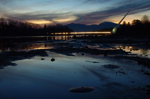
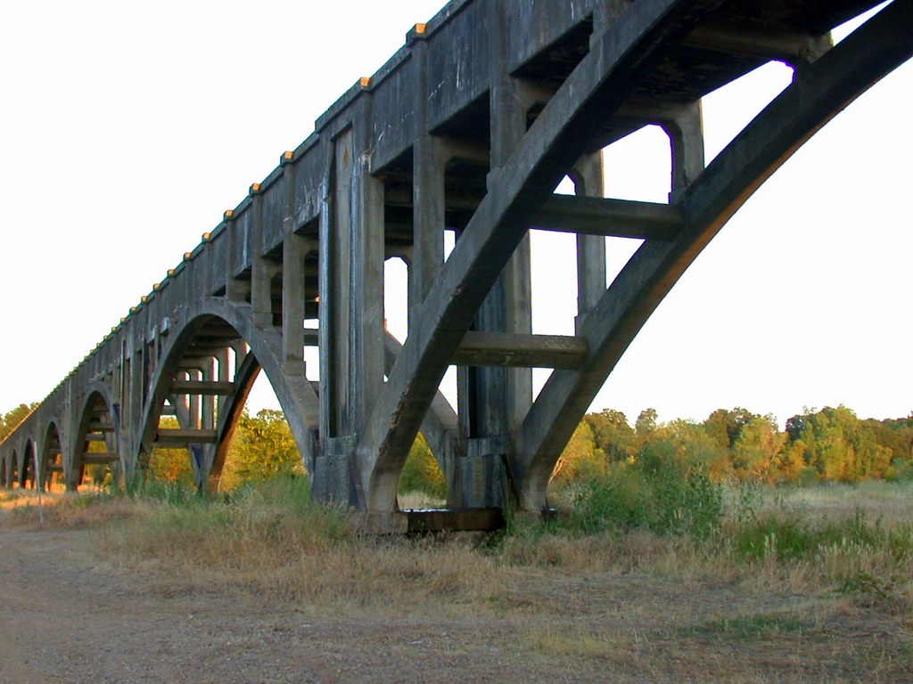
Sundial Bridge at Turtle Bay (II)

Sundial Bridge at Turtle Bay

Redding, CA OES Fire Engine 329 for Shasta County

Self Portrait - 2

Self Portrait - 1
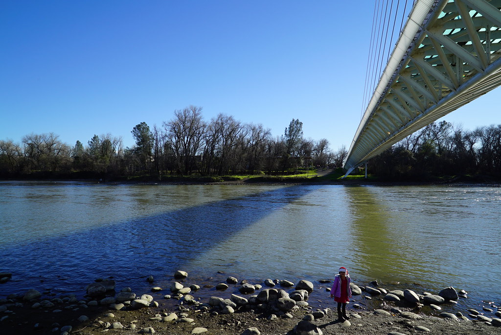
Girl By Bridges

Interstate 5 Southbound Shasta Valley Freeway approaching 1/4 = 0.25 mile to Exit 681A - Twin View Blvd. followed by Exit 680 - State Highway Junction Route CA-299 Lake Blvd. 3/4 = 0.75 miles with this overhead sign located at

Redding,CA Fire Station 3

Sundial Bridge at Turtle Bay Exploration Park facing north view in Redding, California.
Carr Fire View from Downtown Redding Panorama

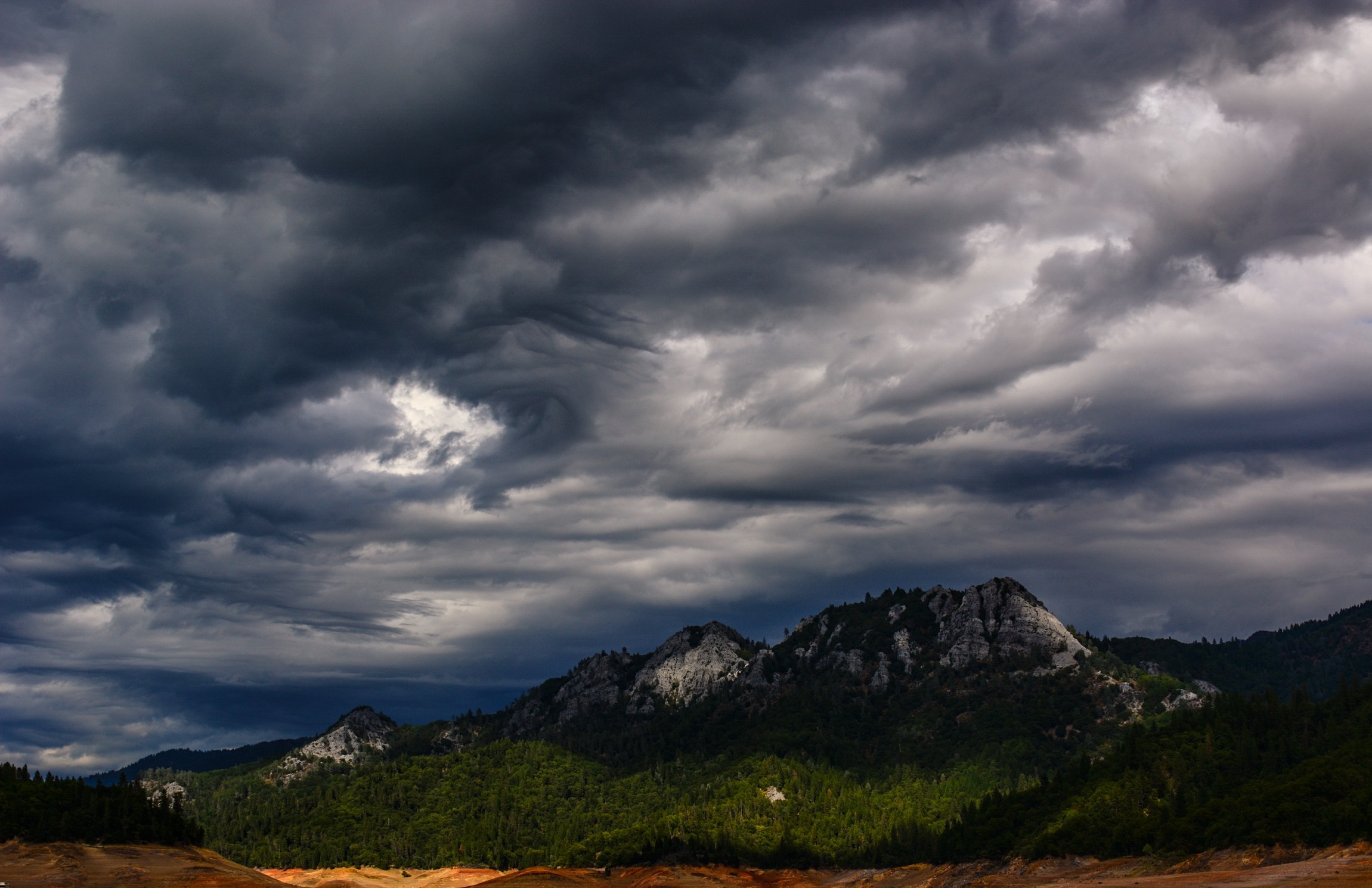
Mt. Shasta
FOOTBALL SEASON ON THE LOWER SACRAMENTO RIVER

Calatrava's Sundial Bridge, Redding, California
Sundial Bridge, Redding

Sunset over Sacramento River

Roberts_68 Sundial Bridge
Morning View

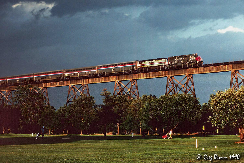
UP9921-9900-9924

Redding Train Station UP 9911

Sundial Bridge at Turtle Bay Exploration Park facing Sacramento River west view in Redding, California.
O'B (5)

Sundial Bridge
Redding 4th of July Fireworks
171124 Black Friday gold-001J

A Path of Exploration and Learning - Turtle Bay Exploration Park - Redding, Shasta County, California

Lights/abstract

Red Along a River
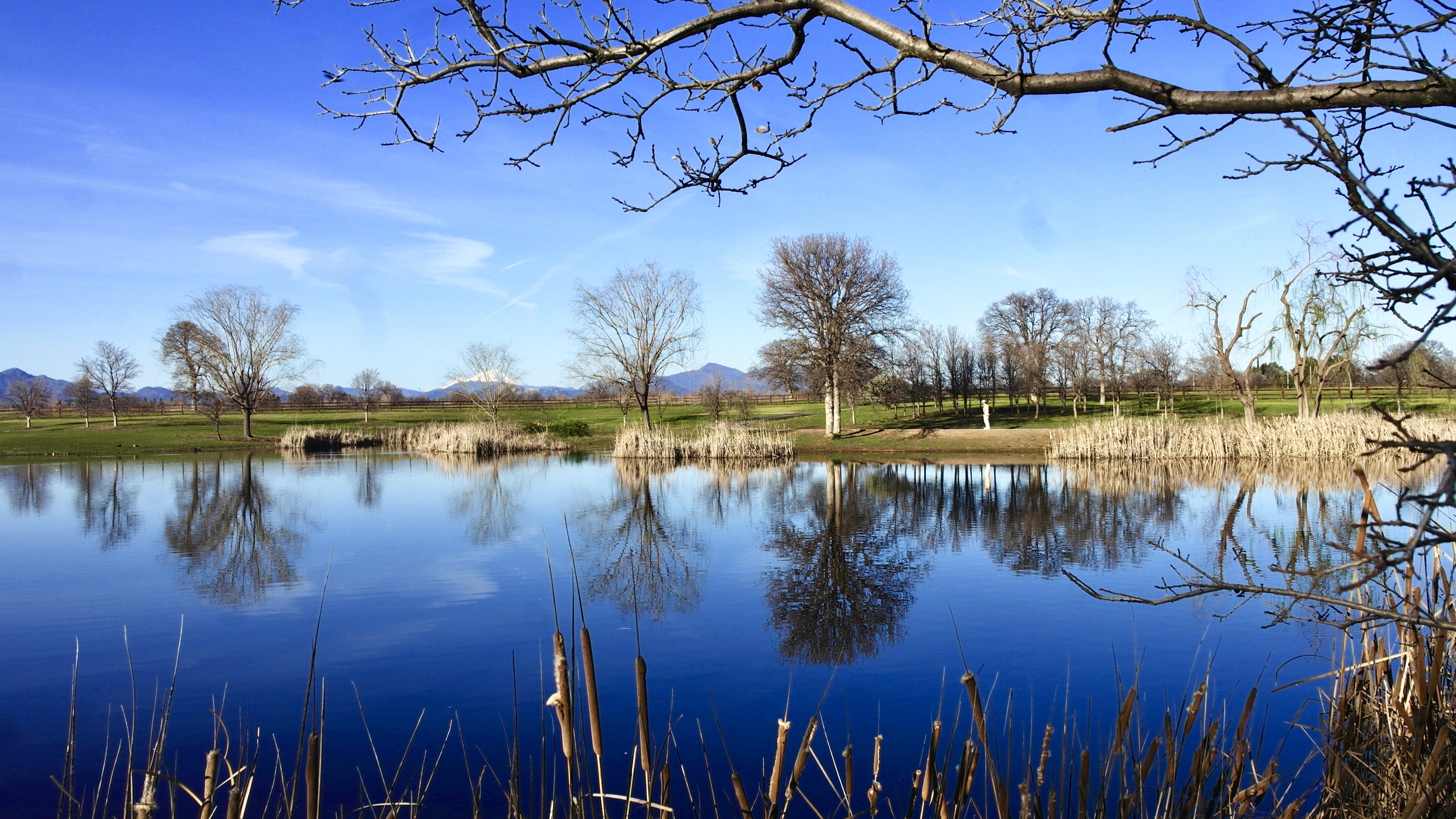
Park Lake
Anderson Aquaduct_07
Almost there
Beautiful Ending

Mount Shasta
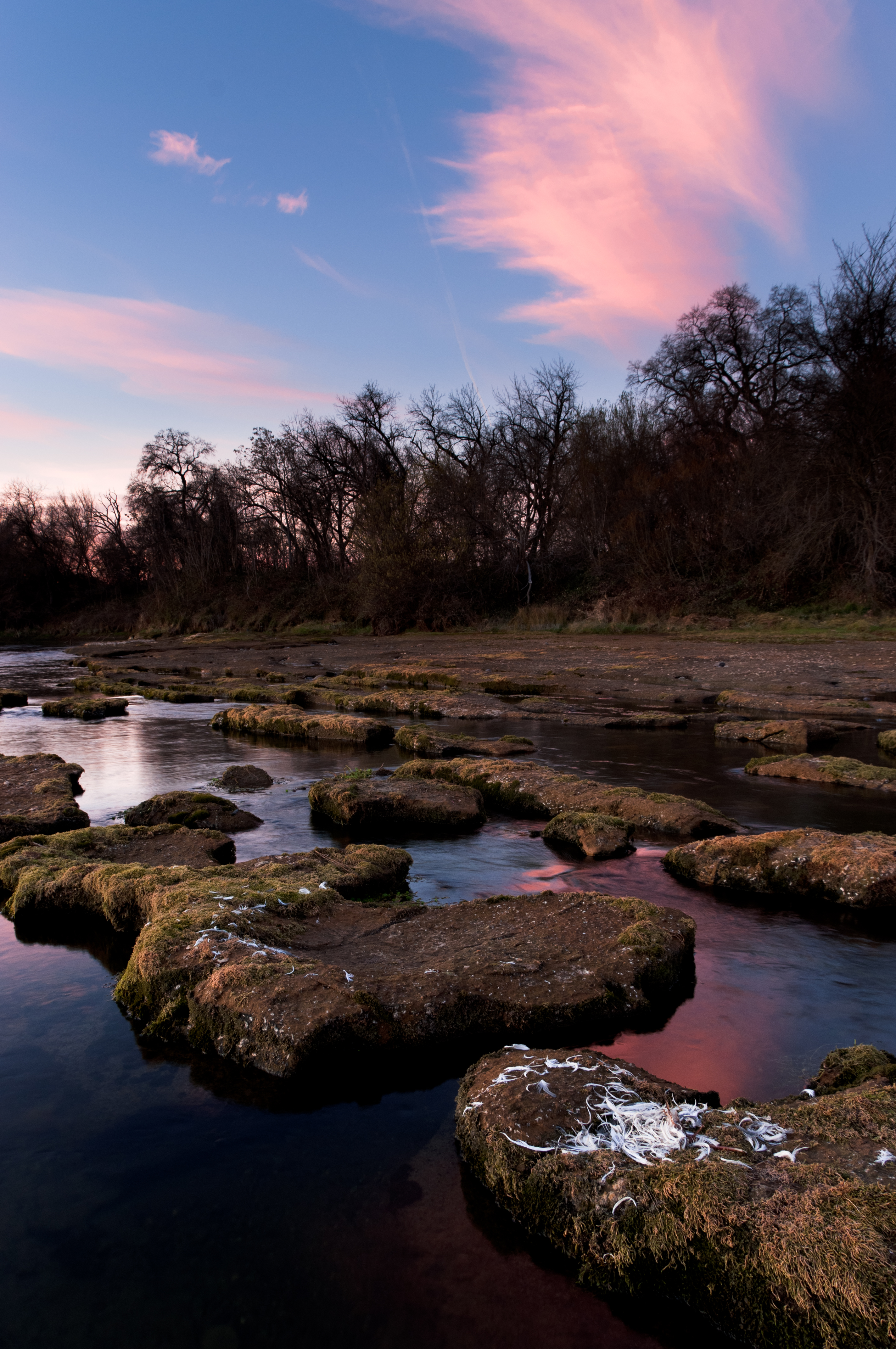
Sunrise at Simpson [03.29.13]
Random photography
Mount Shasta
Sundial Bridge / Sacramento River
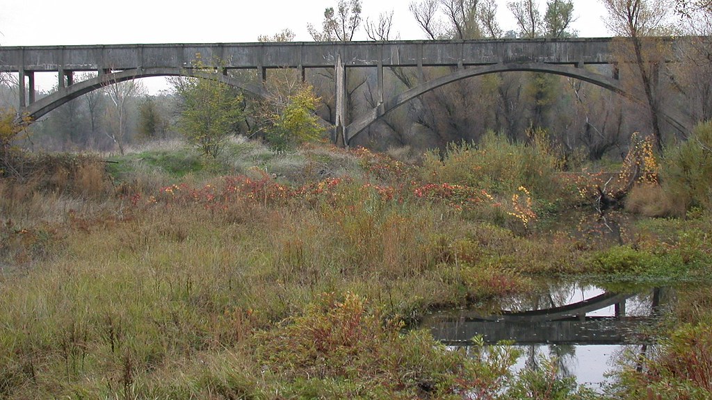
Anderson Aquaduct_03

on a street nearby......#mylittleworld #horizon #landscape. #skyblazing
Random photography
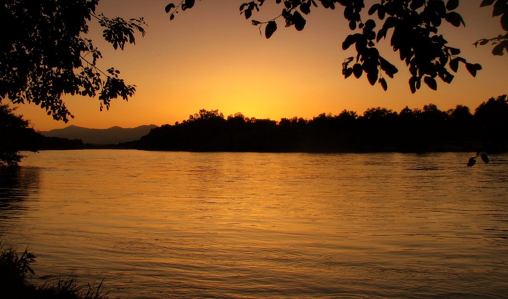
sacramento river sunset
Topographic Map of Redtail Ln, Palo Cedro, CA, USA
Find elevation by address:

Places near Redtail Ln, Palo Cedro, CA, USA:
Palo Cedro
Deschutes Rd, Palo Cedro, CA, USA
9925 Logan Rd
22141 Los Robles Dr
22141 Los Robles Dr
21009 Hackett Ln
Johnny Place
10708 Green Oaks Ln
10731 Deschutes Rd
9023 Madrone Way
North Cow Creek
Rare Air Trampoline Park
7891 Silver Bridge Rd
21780 Los Altos Dr
Old Oregon Trail, Redding, CA, USA
23681 Old 44 Dr
23590 Old 44 Dr
Columbia
10202 Oak Run Rd
20122 Cindy Ln
Recent Searches:
- Elevation of Congressional Dr, Stevensville, MD, USA
- Elevation of Bellview Rd, McLean, VA, USA
- Elevation of Stage Island Rd, Chatham, MA, USA
- Elevation of Shibuya Scramble Crossing, 21 Udagawacho, Shibuya City, Tokyo -, Japan
- Elevation of Jadagoniai, Kaunas District Municipality, Lithuania
- Elevation of Pagonija rock, Kranto 7-oji g. 8"N, Kaunas, Lithuania
- Elevation of Co Rd 87, Jamestown, CO, USA
- Elevation of Tenjo, Cundinamarca, Colombia
- Elevation of Côte-des-Neiges, Montreal, QC H4A 3J6, Canada
- Elevation of Bobcat Dr, Helena, MT, USA