Elevation of Oak Run Rd, Oak Run, CA, USA
Location: United States > California > Shasta County > Millville >
Longitude: -122.16973
Latitude: 40.598242
Elevation: 169m / 554feet
Barometric Pressure: 99KPa
Elevation Map:
Satellite Map:
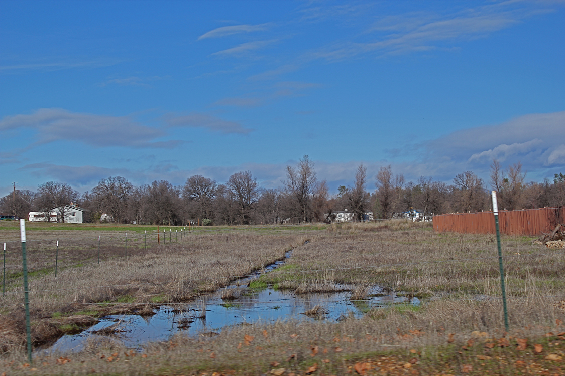
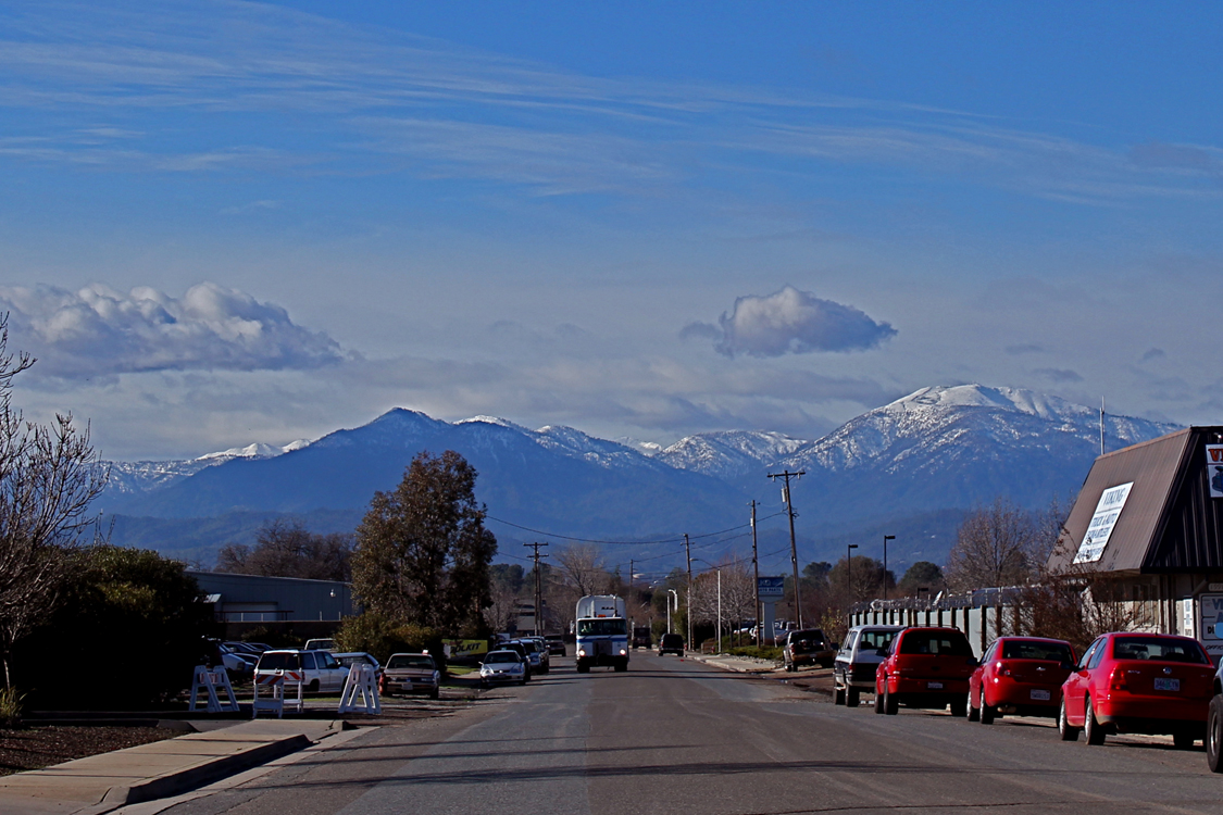
Related Photos:
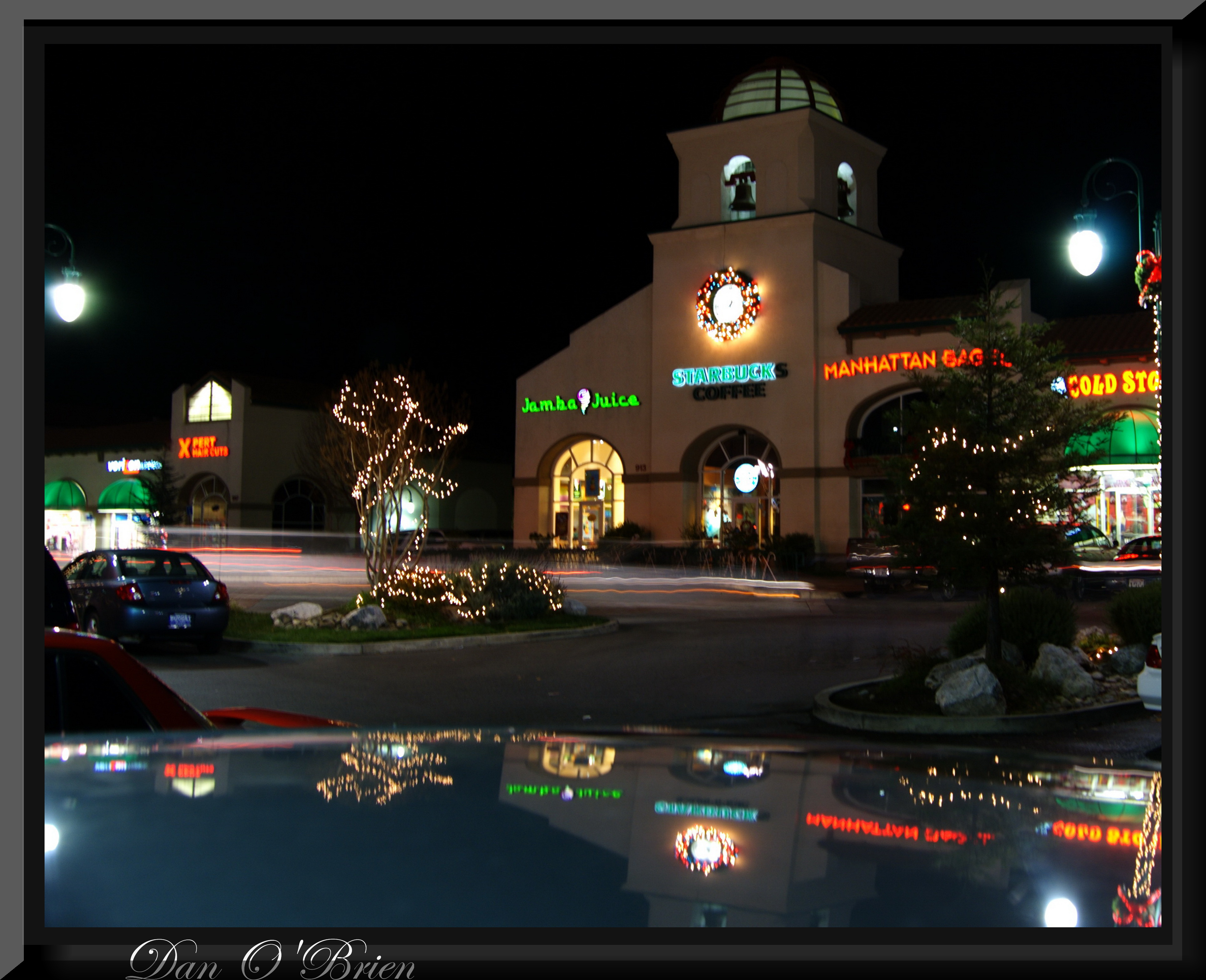
O'Brien

Redding, CA OES Fire Engine 329 for Shasta County

Redding, CA OES Fire Engine 329 for Shasta County

View from the overflow. Who'd have though you wouldn't be able to find a seat at an 8.30am service. Love this place!

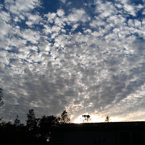
View just now from the hotel room. #sunset #colorful #clouds #sky #evening #winter #redding #california #roadtrip #Creation #beauty #ipod #ipodtouch #igdaily #igaddicts #instagold #instagood #instagram
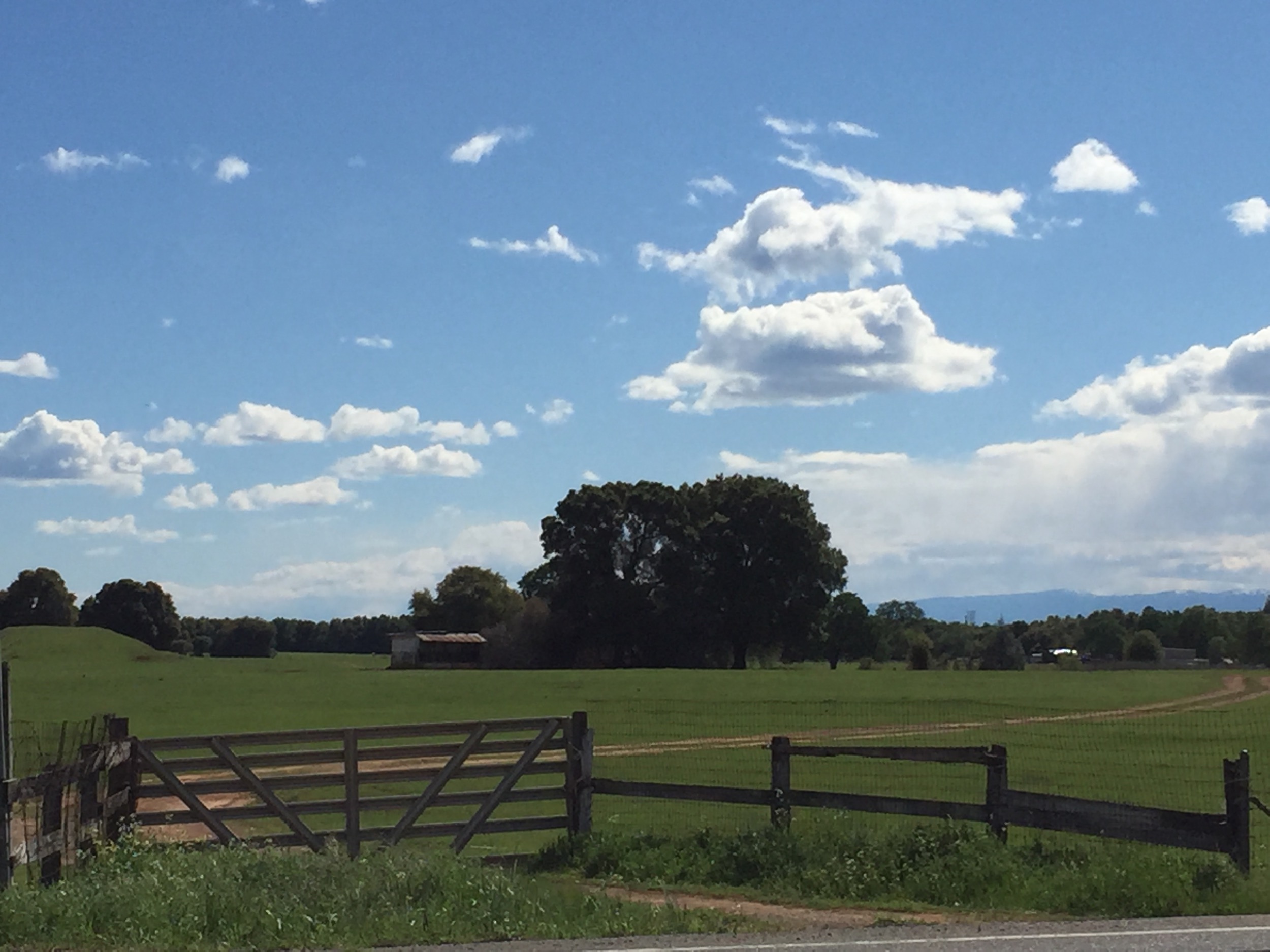
The view leaving moms house today.
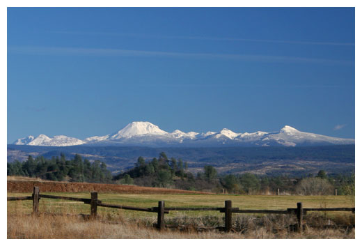
Mt. Lassen

Interstate 5 Northbound Shasta Valley Freeway approaching Exit 681 - Twin View Blvd. 1/2 mile, Exit 682 - Oasis Road 1 1/2 miles and Exit 684 - Pine Grove Avenue 3 miles with this roadside sign located at Shasta County - Redding, California.

Mt. Shasta
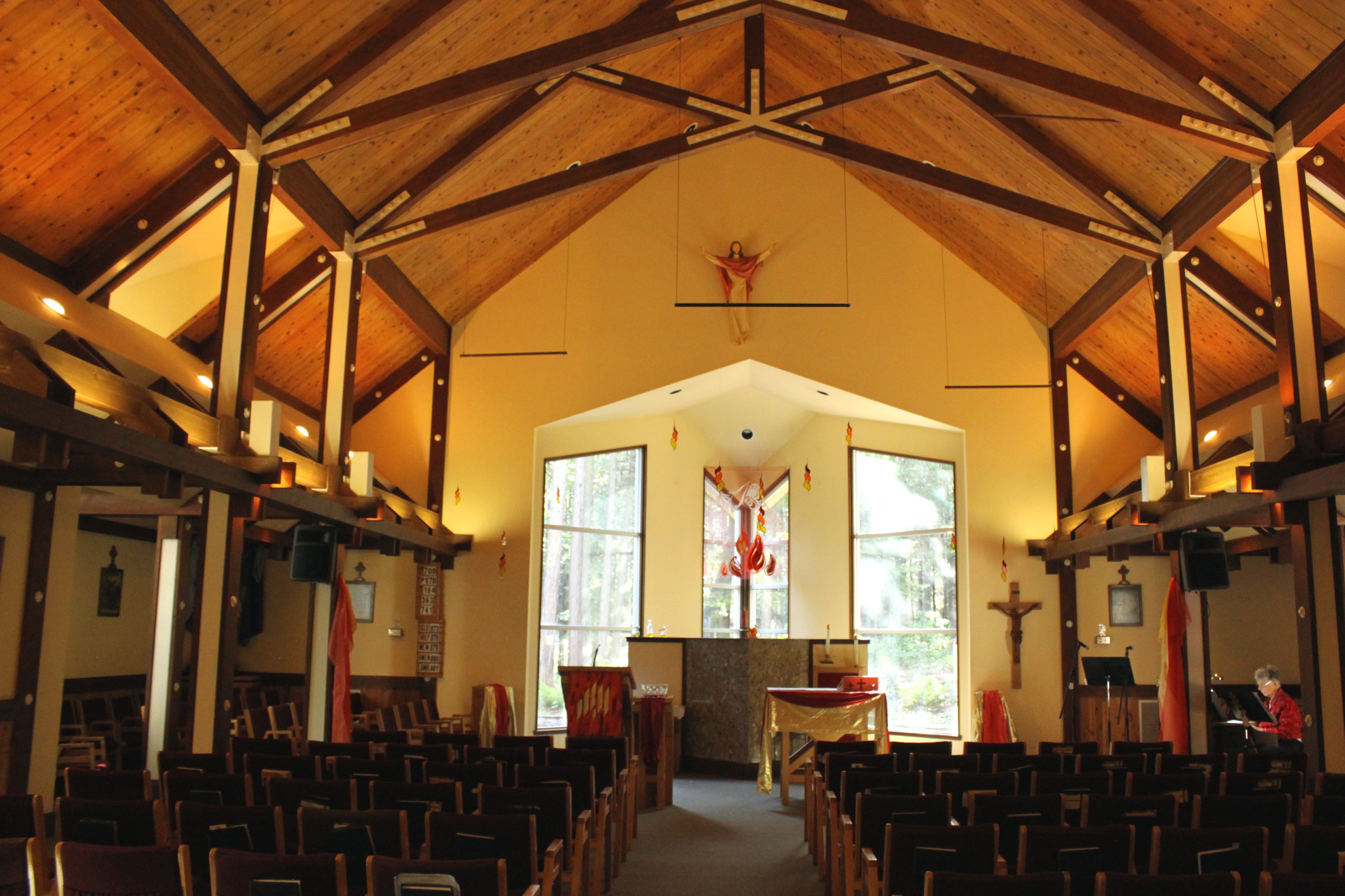
Our Lady of Mercy Parish

Interstate 5 Northbound Shasta Valley Freeway approaching Exit 680 - State Highway Junction Route CA-299 1/2 mile, Exit 681 - Twin View Blvd. 1 1/2 miles and Exit 682 - Oasis Road 2 1/2 miles with this roadside sign located at Shasta County - Redding, Cal
View on the way to the recycling place

CHP - (135) Redding Office area

Mount Lassen
View on the way to the recycling place
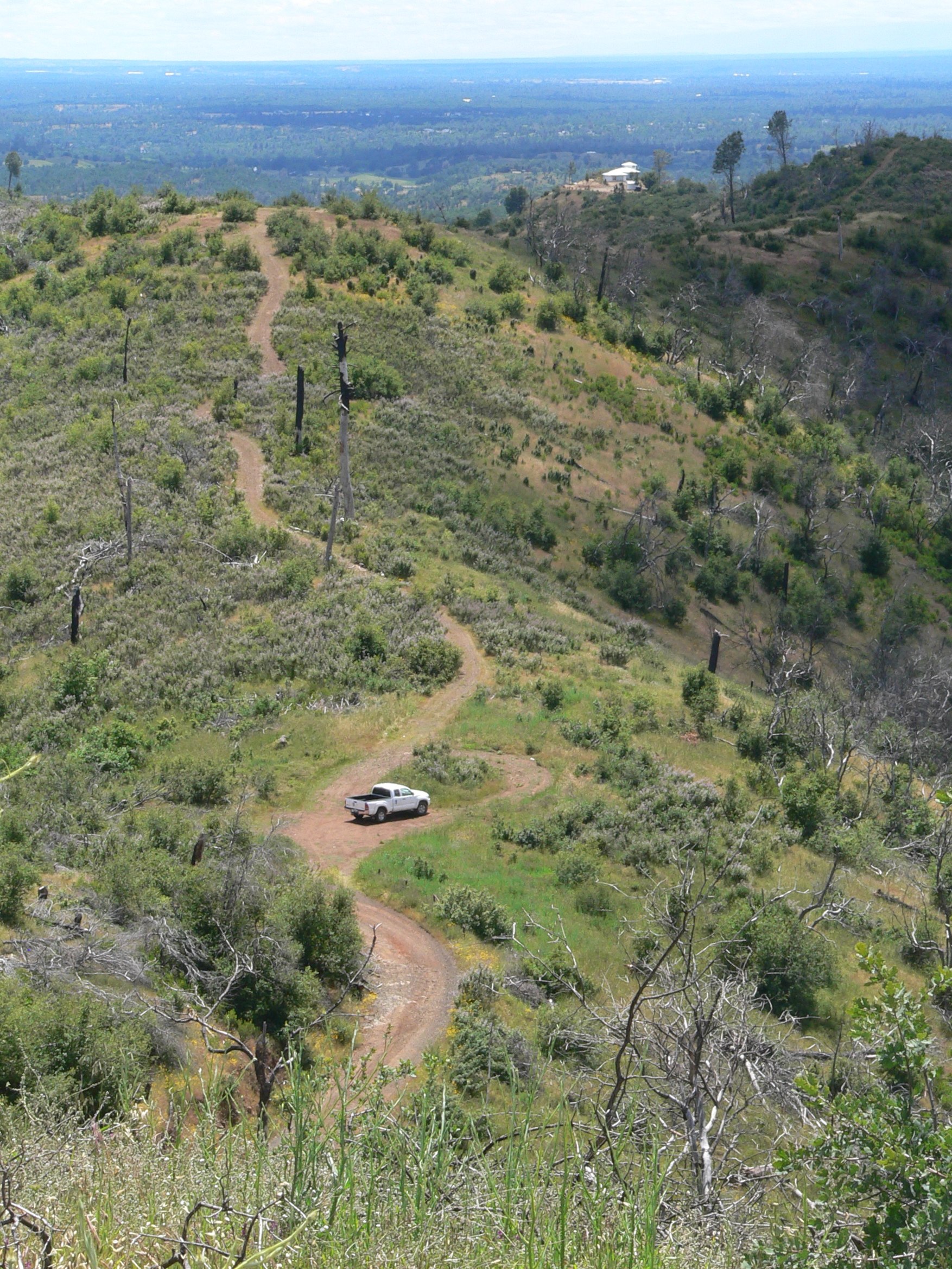
THE LONGEST DRIVEWAY IN SHASTA COUNTY

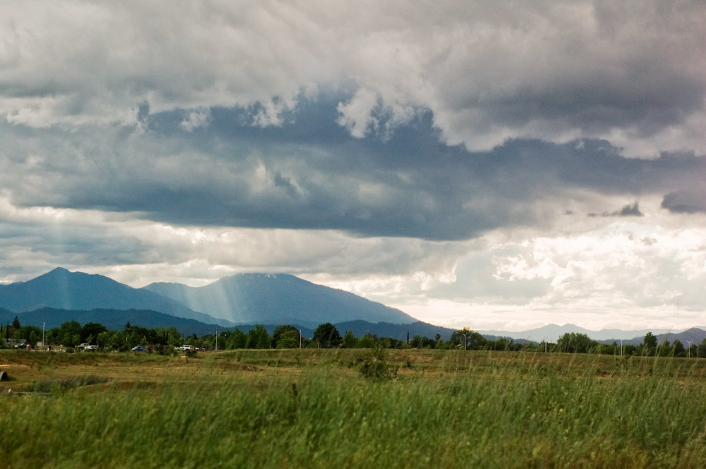
California - Viewed by an Oregonian
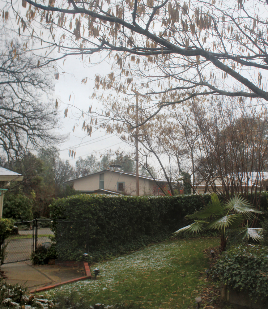
New Years snow

USAF Thunderbirds @ Redding
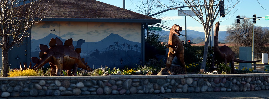
Full view of Dino House
O'BD80 (1)

Lake Shasta Jones Valley Arm Panorama

Highway 299 [03.30.13]

Random photography

Trees being trees

Sunrise at Simpson [03.29.13]
Random photography
Redding Sunset

Sunrise at Simpson [03.30.13]

Redding, CA
All Photos-2510

All Photos-2509

Corn field
Looking West in Redding

Greg Hawes

Historic Hawes Farms

Greg Hawes
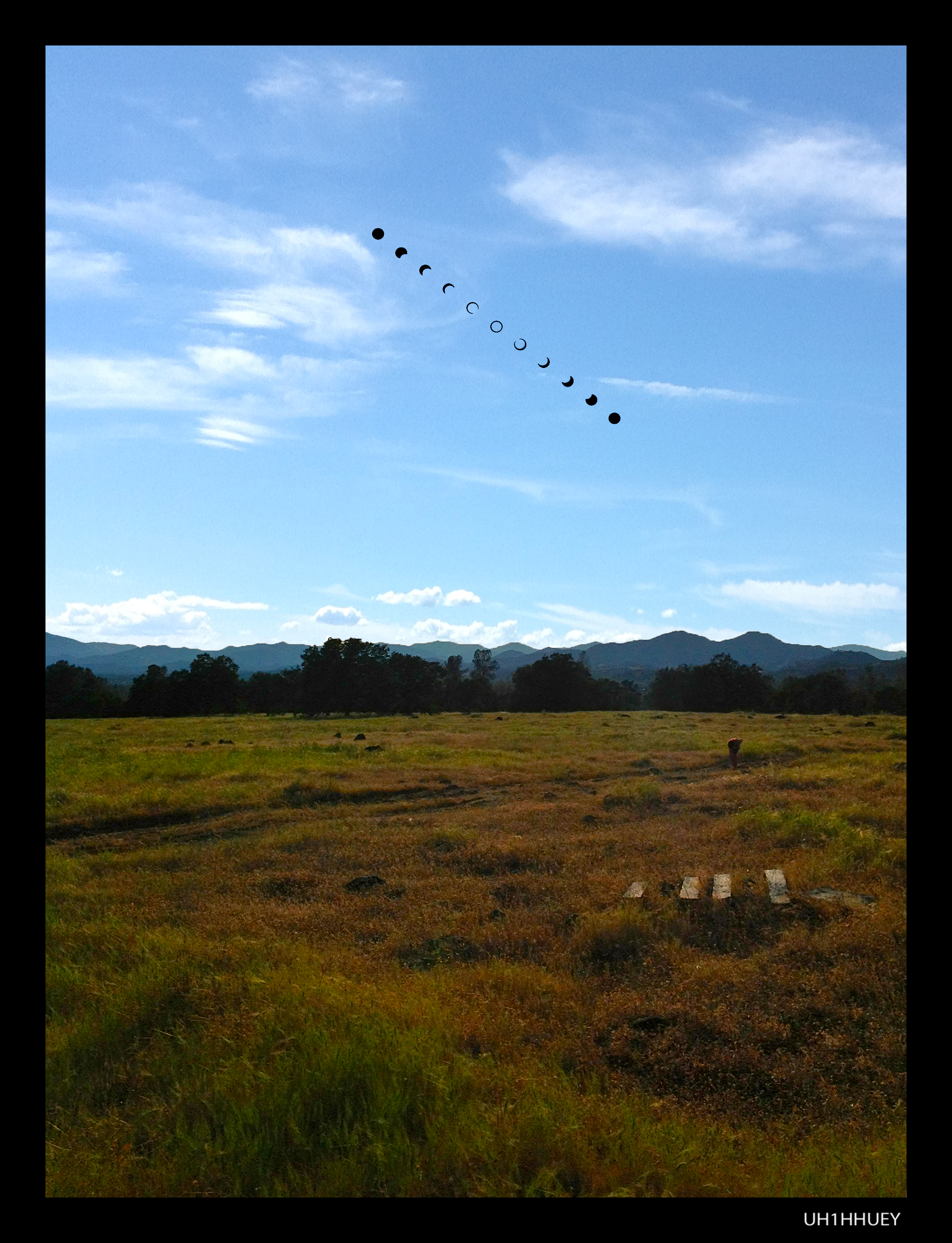
Annular Solar Eclipse May 20, 2012 (Campsite)
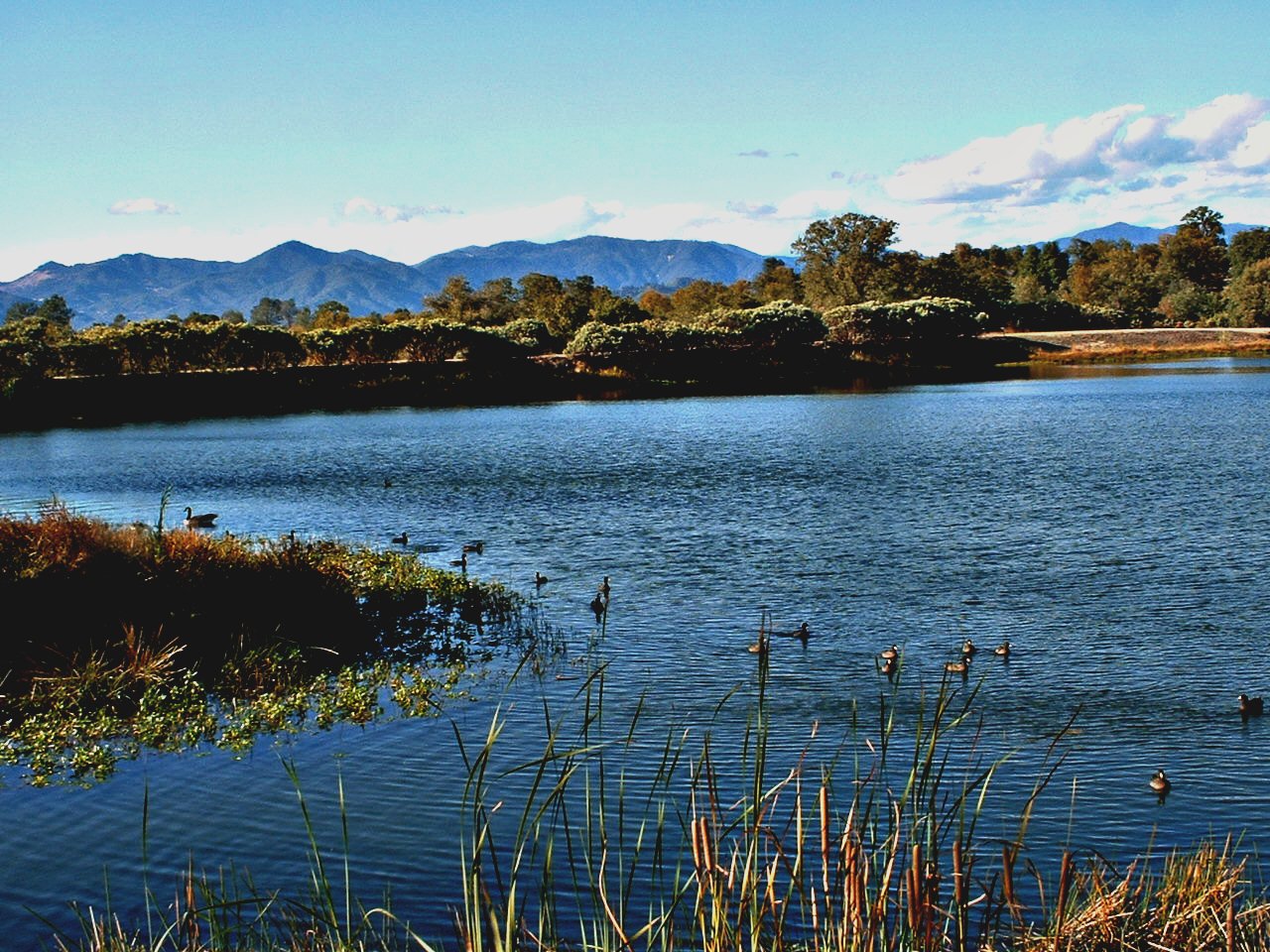
Ducks on the pond
Topographic Map of Oak Run Rd, Oak Run, CA, USA
Find elevation by address:

Places near Oak Run Rd, Oak Run, CA, USA:
10202 Oak Run Rd
23590 Old 44 Dr
23681 Old 44 Dr
Whitmore Rd, Millville, CA, USA
North Cow Creek
Millville
10731 Deschutes Rd
22141 Los Robles Dr
22141 Los Robles Dr
Deschutes Rd, Palo Cedro, CA, USA
Palo Cedro
25100 Ca-44
9308 Redtail Ln
9925 Logan Rd
23646 Impala Dr
7891 Silver Bridge Rd
10708 Green Oaks Ln
25650 Cherith Brook Drive
21009 Hackett Ln
Dersch Road
Recent Searches:
- Elevation of Royal Ontario Museum, Queens Park, Toronto, ON M5S 2C6, Canada
- Elevation of Groblershoop, South Africa
- Elevation of Power Generation Enterprises | Industrial Diesel Generators, Oak Ave, Canyon Country, CA, USA
- Elevation of Chesaw Rd, Oroville, WA, USA
- Elevation of N, Mt Pleasant, UT, USA
- Elevation of 6 Rue Jules Ferry, Beausoleil, France
- Elevation of Sattva Horizon, 4JC6+G9P, Vinayak Nagar, Kattigenahalli, Bengaluru, Karnataka, India
- Elevation of Great Brook Sports, Gold Star Hwy, Groton, CT, USA
- Elevation of 10 Mountain Laurels Dr, Nashua, NH, USA
- Elevation of 16 Gilboa Ln, Nashua, NH, USA