Elevation of Buffalo Springs Campground, Buena Vista, CO, United States
Location: United States > Colorado > Fairplay >
Longitude: -105.98973
Latitude: 39.0338828
Elevation: 2803m / 9196feet
Barometric Pressure: 72KPa
Elevation Map:
Satellite Map:
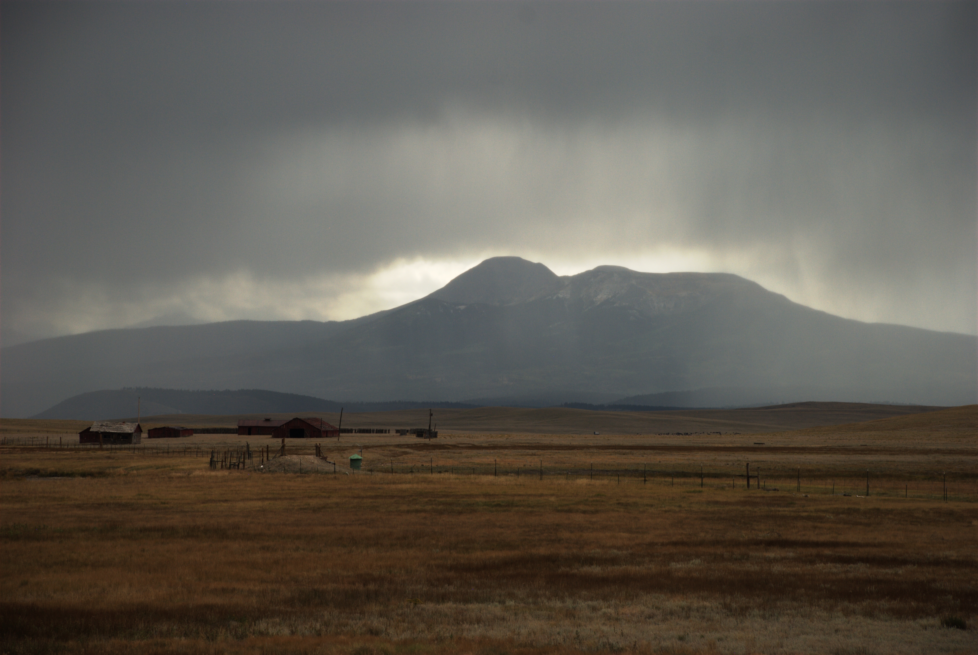
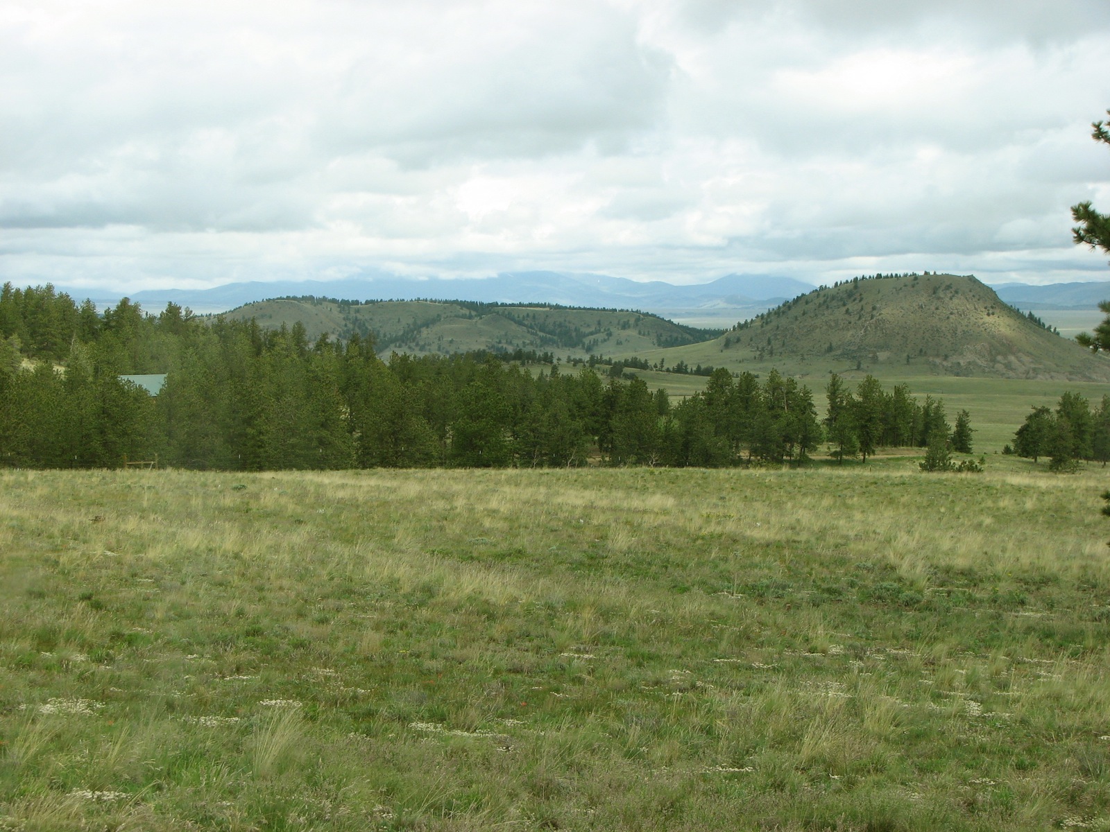
Related Photos:

Colorado Peaks exploration
View of Pikes Peak
Mount Silverheels
LCBPW_08-04-2011_1099_IMG_5962
South Platte River: Hartsel, Colorado (CO)
Along CO-9

2 June 12 Buffalo and Buffalo Peaks
The front yard
Topographic Map of Buffalo Springs Campground, Buena Vista, CO, United States
Find elevation by address:

Places near Buffalo Springs Campground, Buena Vista, CO, United States:
Jones Hill
216 Rich Creek Ct
Antero Reservoir
1365 Kokanee Rd
US-24, Hartsel, CO, USA
3156 High Creek Rd
Garo
249 Arthur's Ct
CO-9, Fairplay, CO, USA
Round Hill
508 Redhill Rd
508 Redhill Rd
59 Meadow Dr
45 Singletree Rd
188 Boot Ln
East Buffalo Peak
Garo
1157 Bonell Dr
1425 Wagon Wheel Rd
118 Hackamore Ct
Recent Searches:
- Elevation of Corso Fratelli Cairoli, 35, Macerata MC, Italy
- Elevation of Tallevast Rd, Sarasota, FL, USA
- Elevation of 4th St E, Sonoma, CA, USA
- Elevation of Black Hollow Rd, Pennsdale, PA, USA
- Elevation of Oakland Ave, Williamsport, PA, USA
- Elevation of Pedrógão Grande, Portugal
- Elevation of Klee Dr, Martinsburg, WV, USA
- Elevation of Via Roma, Pieranica CR, Italy
- Elevation of Tavkvetili Mountain, Georgia
- Elevation of Hartfords Bluff Cir, Mt Pleasant, SC, USA