Elevation of Hackamore Ct, Hartsel, CO, USA
Location: United States > Colorado > Hartsel >
Longitude: -105.91399
Latitude: 38.919651
Elevation: 2846m / 9337feet
Barometric Pressure: 71KPa
Elevation Map:
Satellite Map:
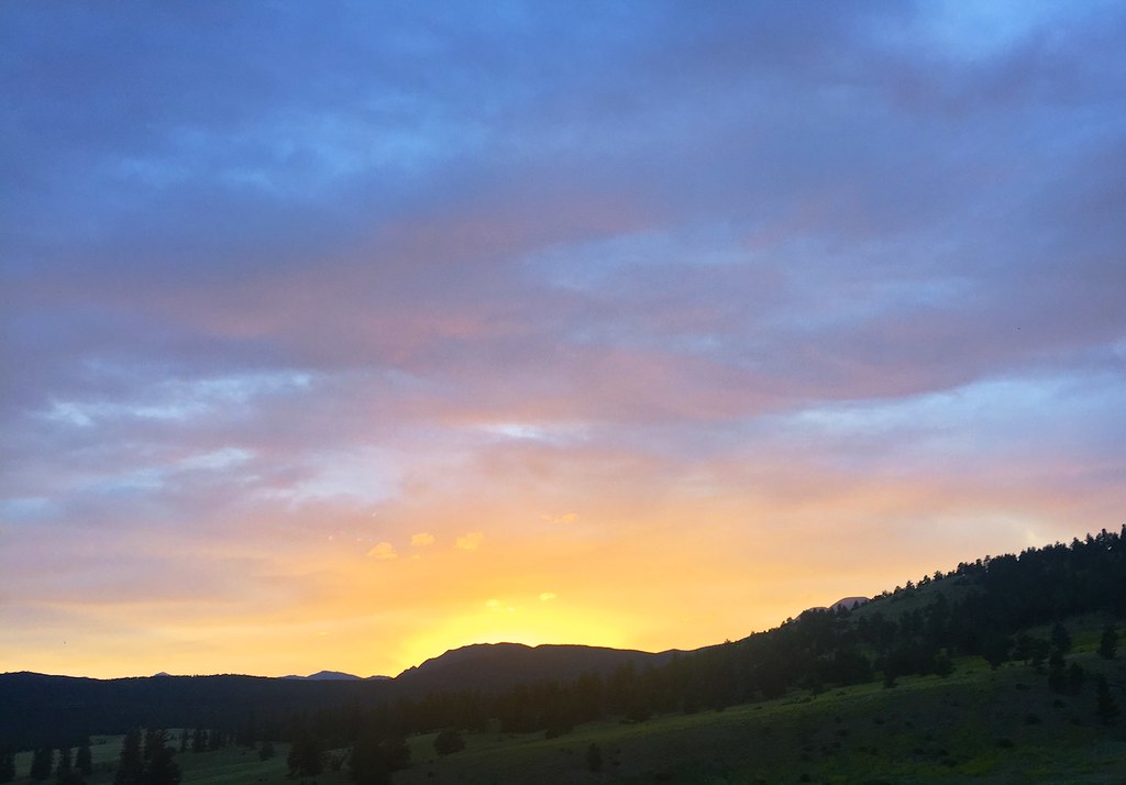
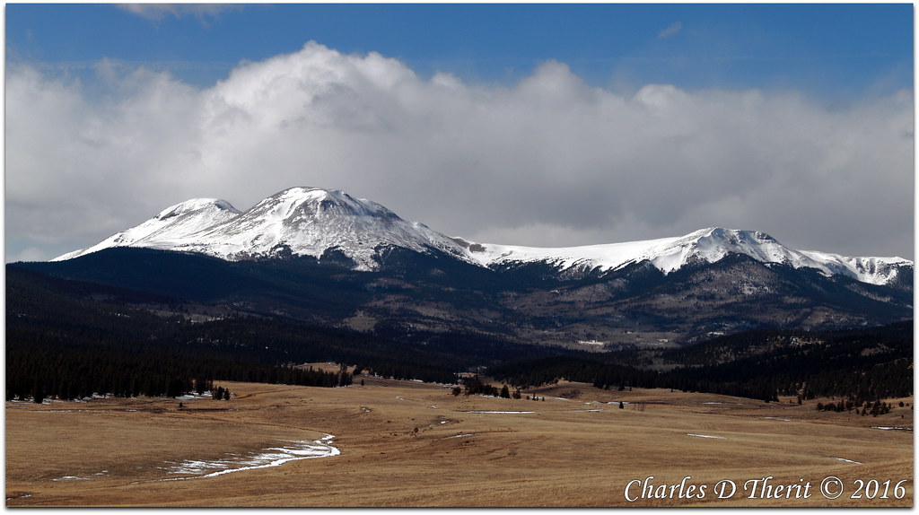
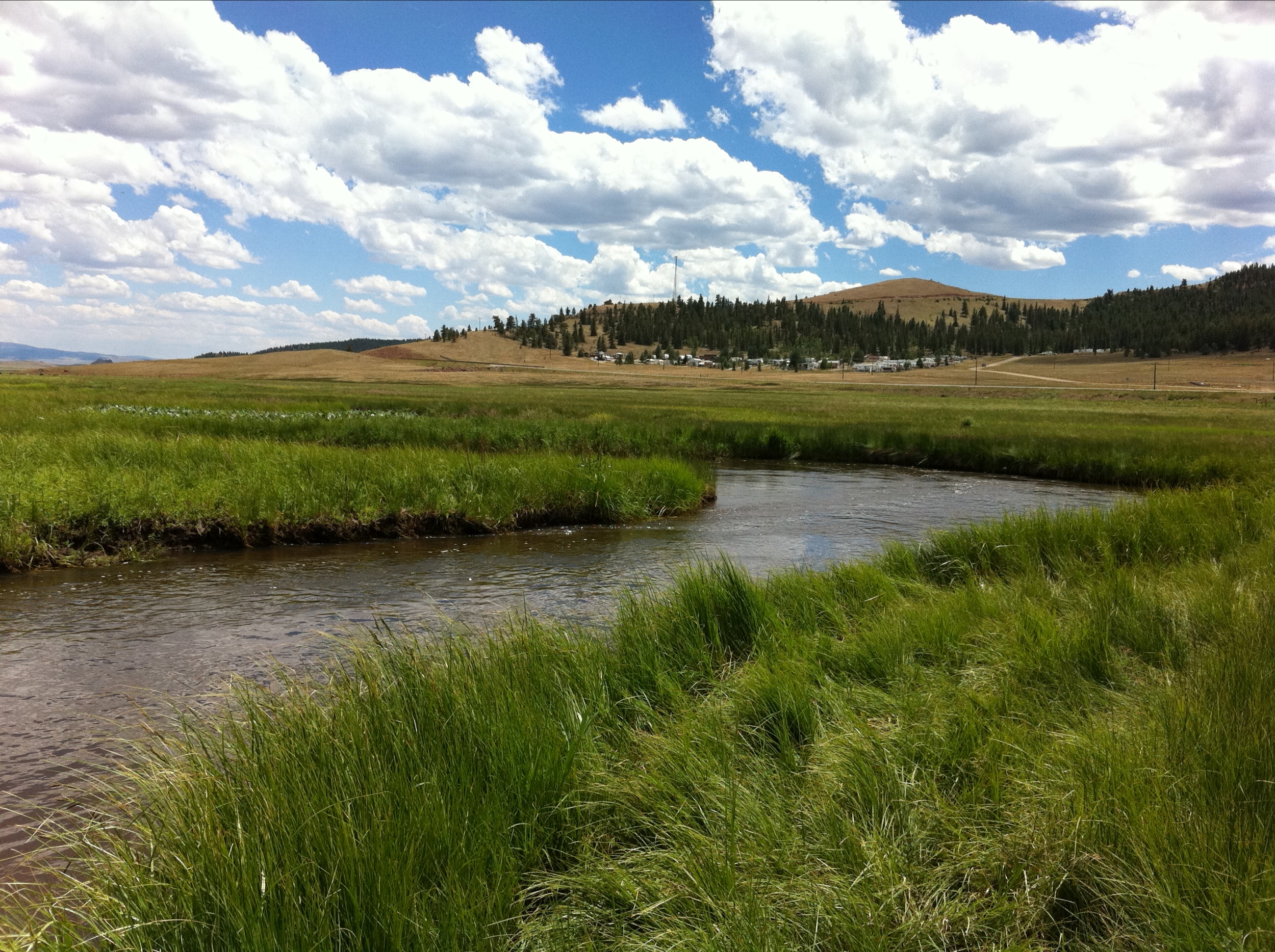
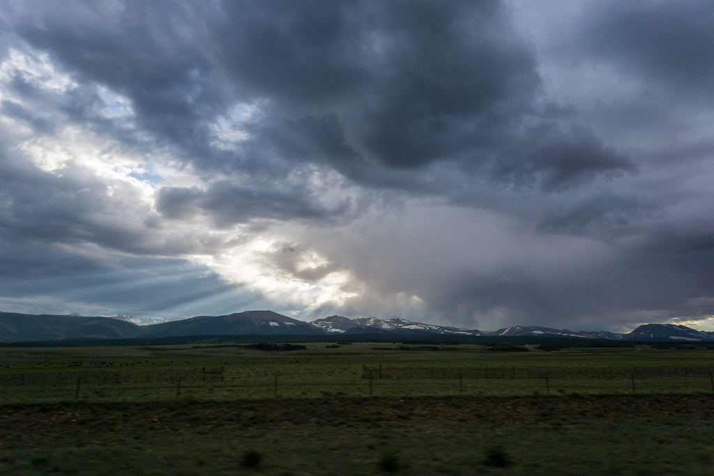
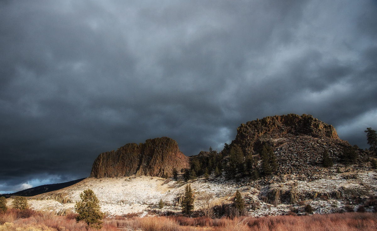
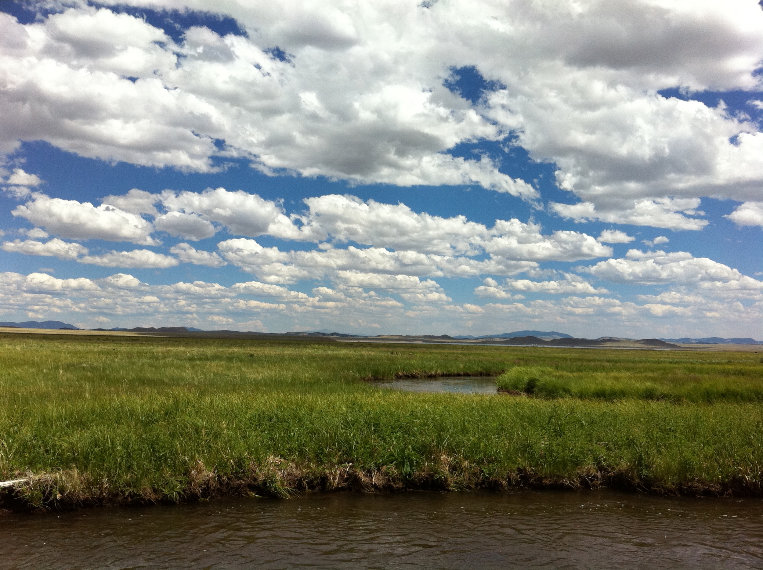
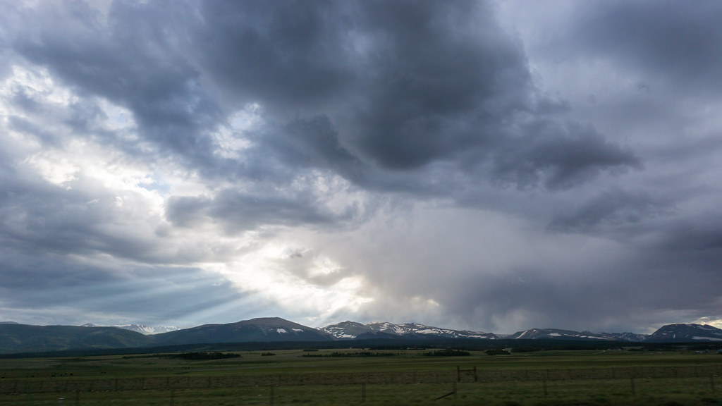
Related Photos:
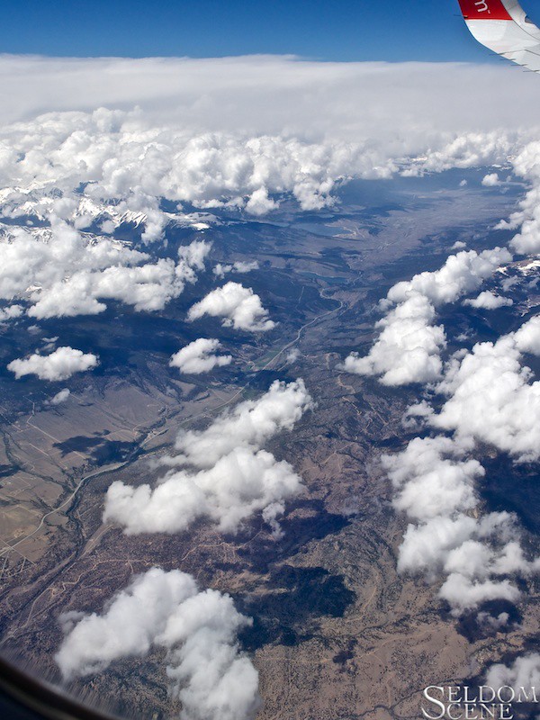
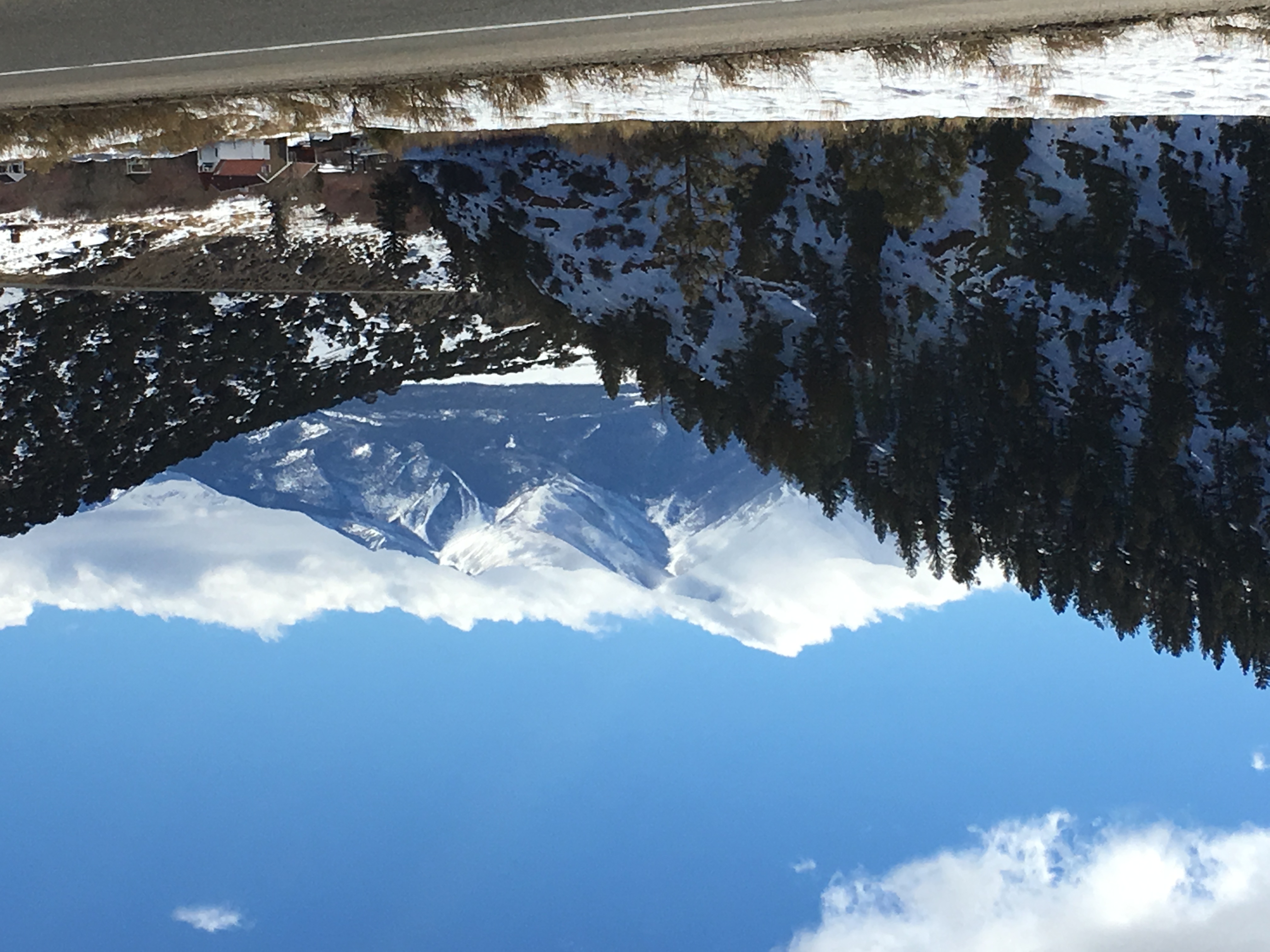
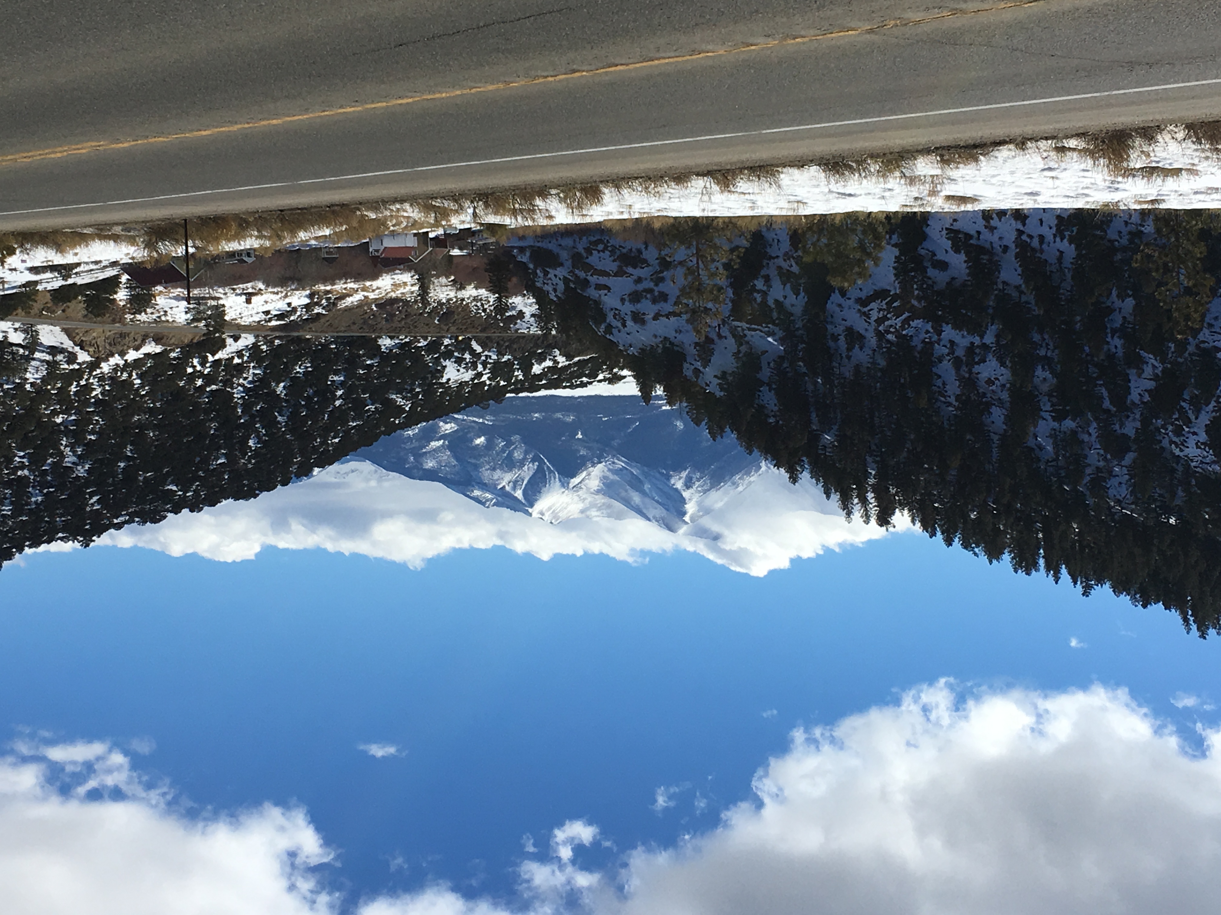
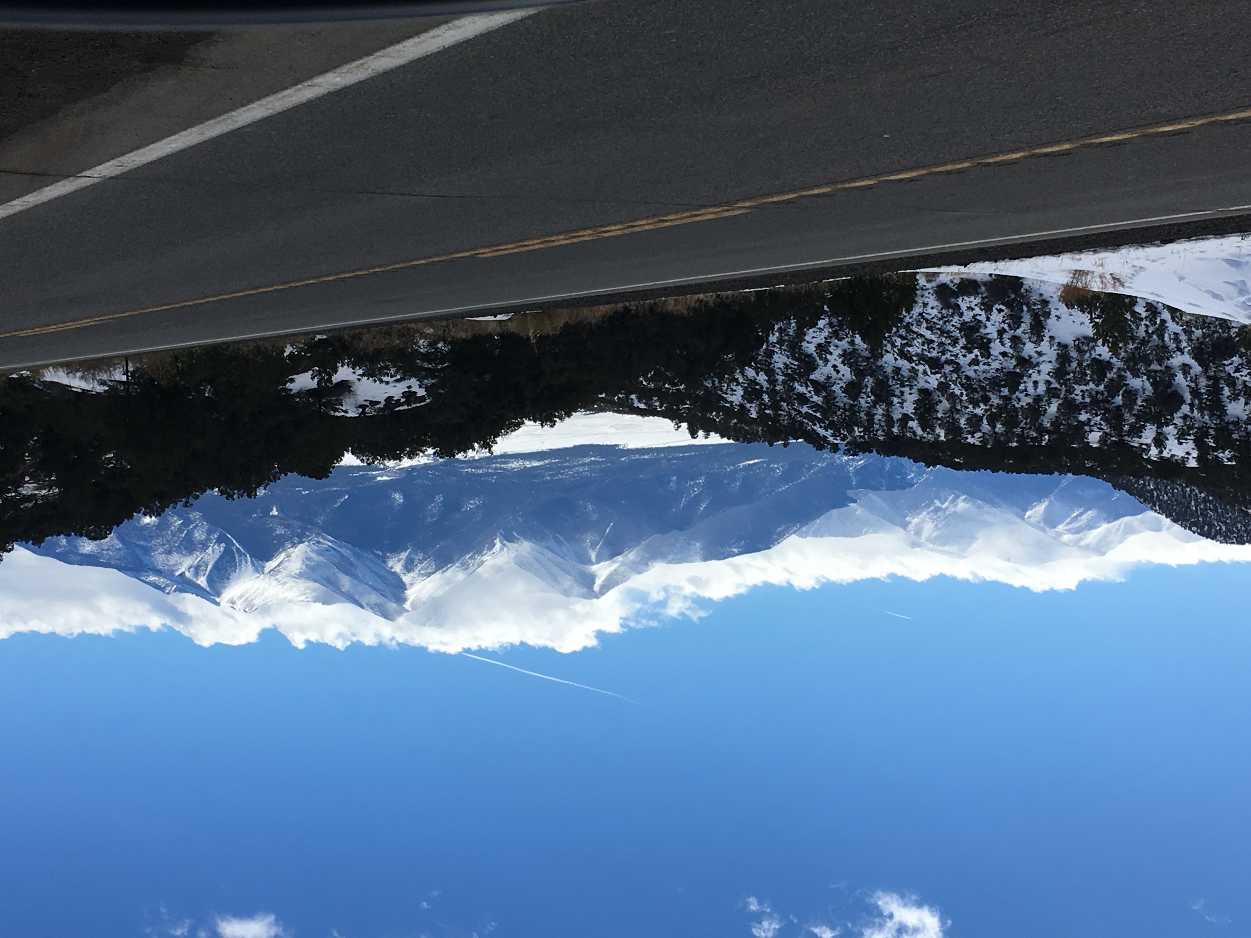
North along the Arkansas

Arkansas Valley
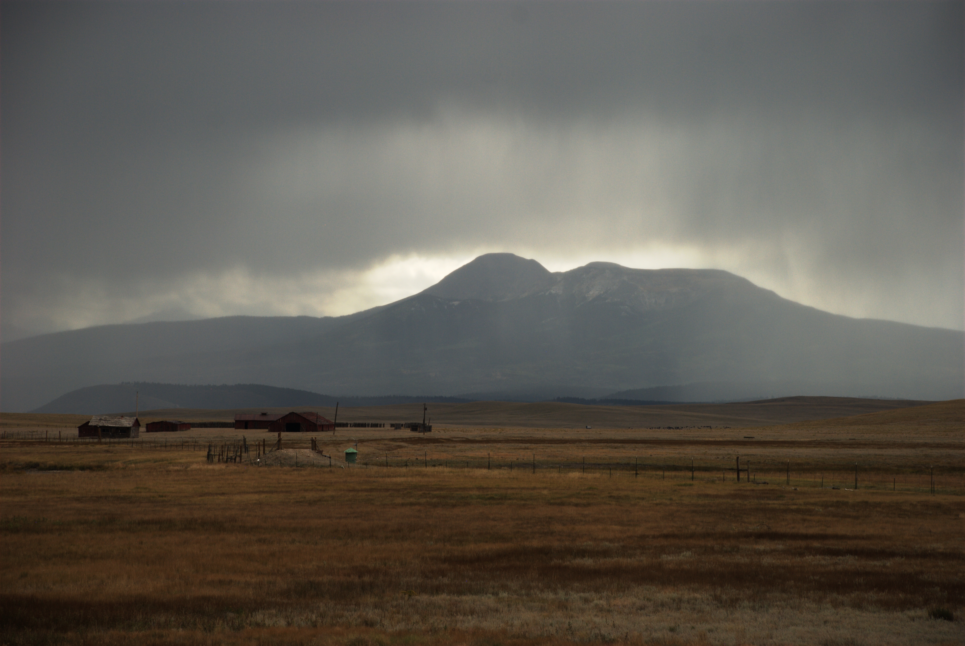
Along CO-9
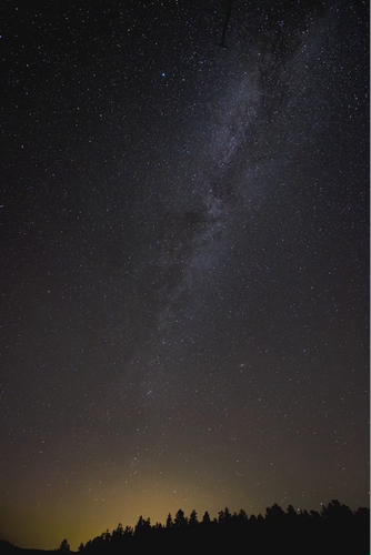
Colorado Milky Way in Motion - Full View
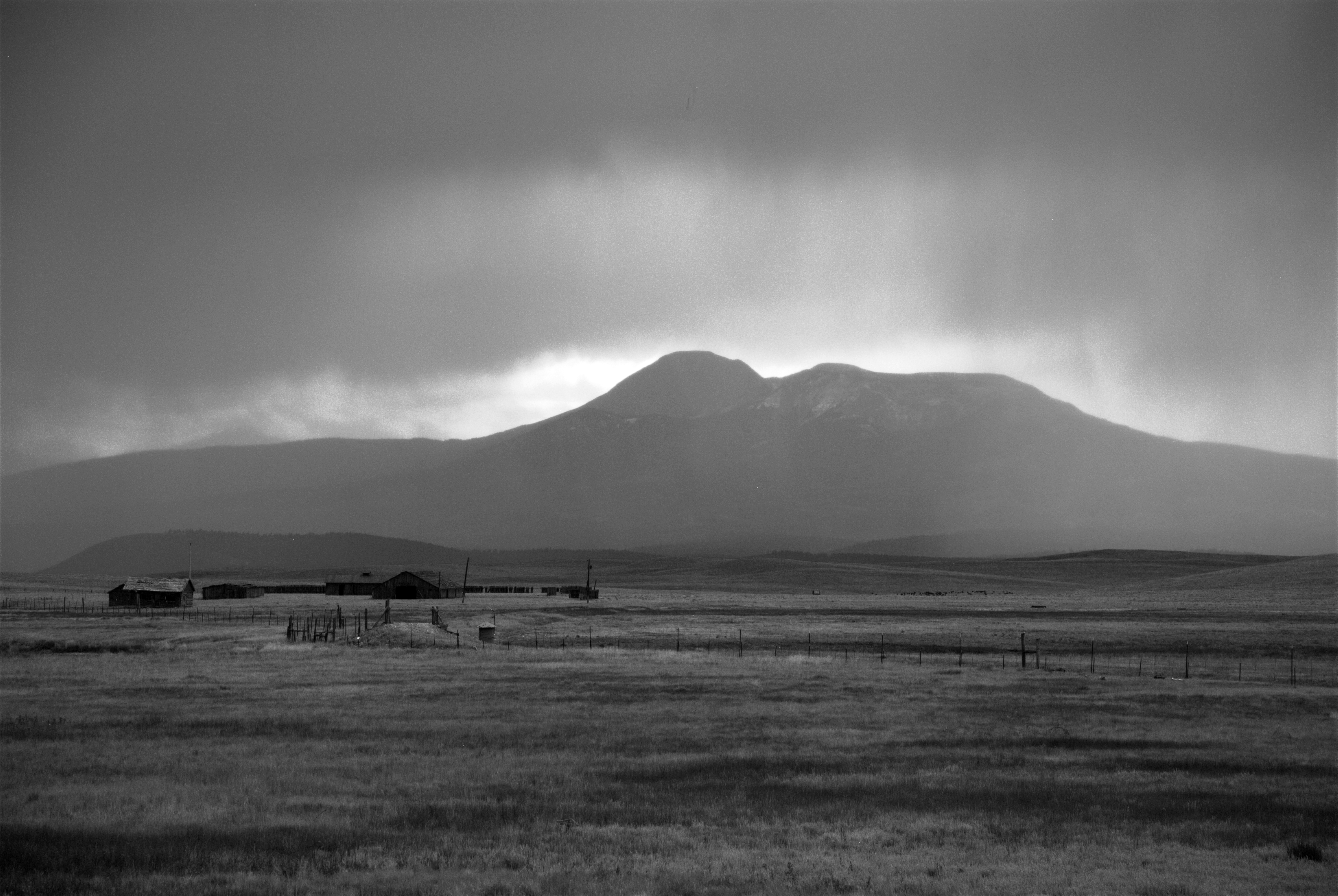
Along CO-9 (black & white)

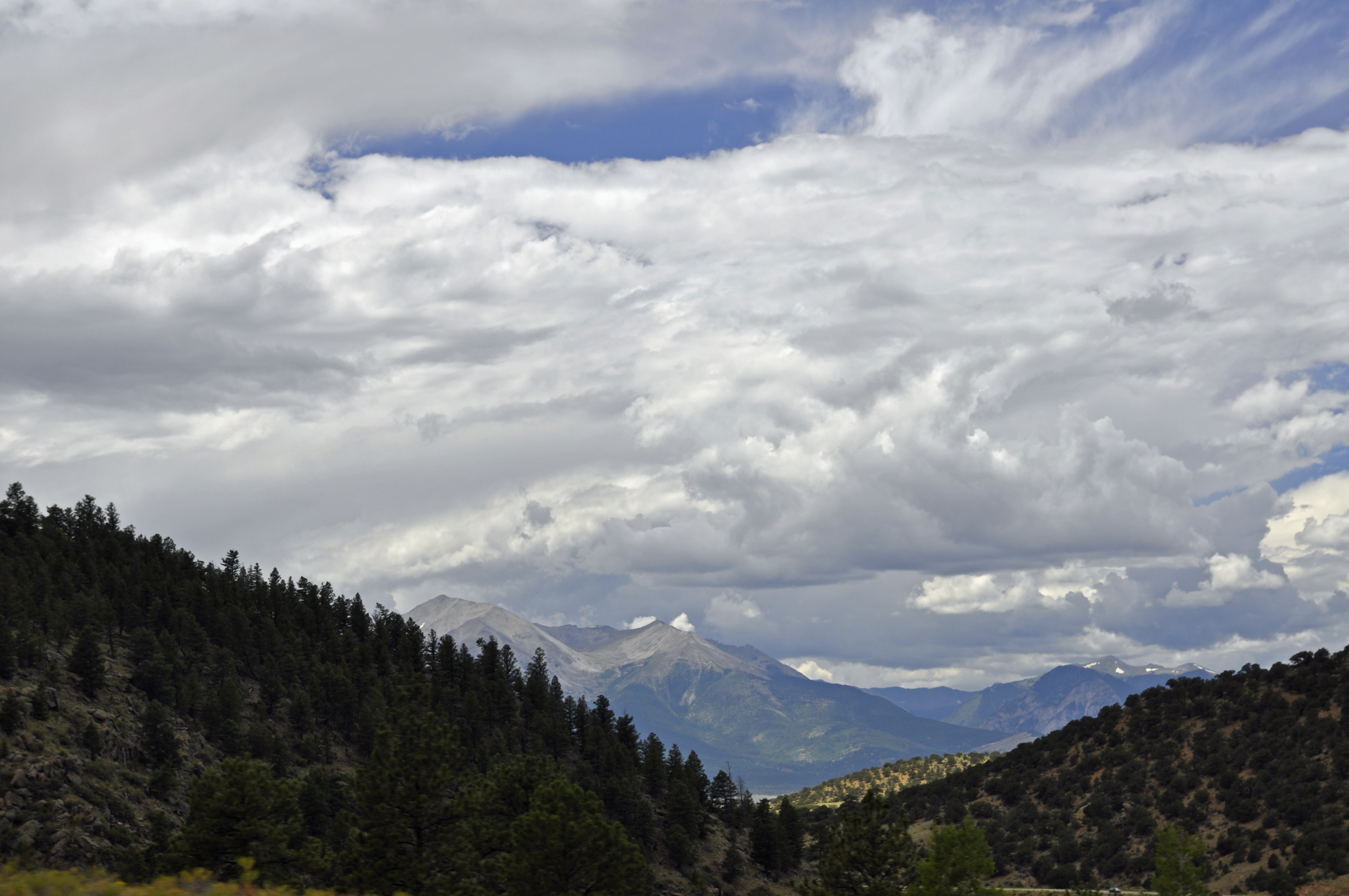
The Way Through Antero

Colorado Peaks exploration

2 June 12 Buffalo and Buffalo Peaks
View of Castle Rock Gulch Area
BV Castle Rock Gulch 075
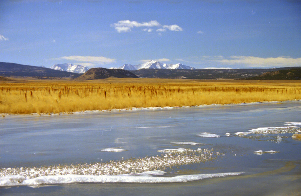
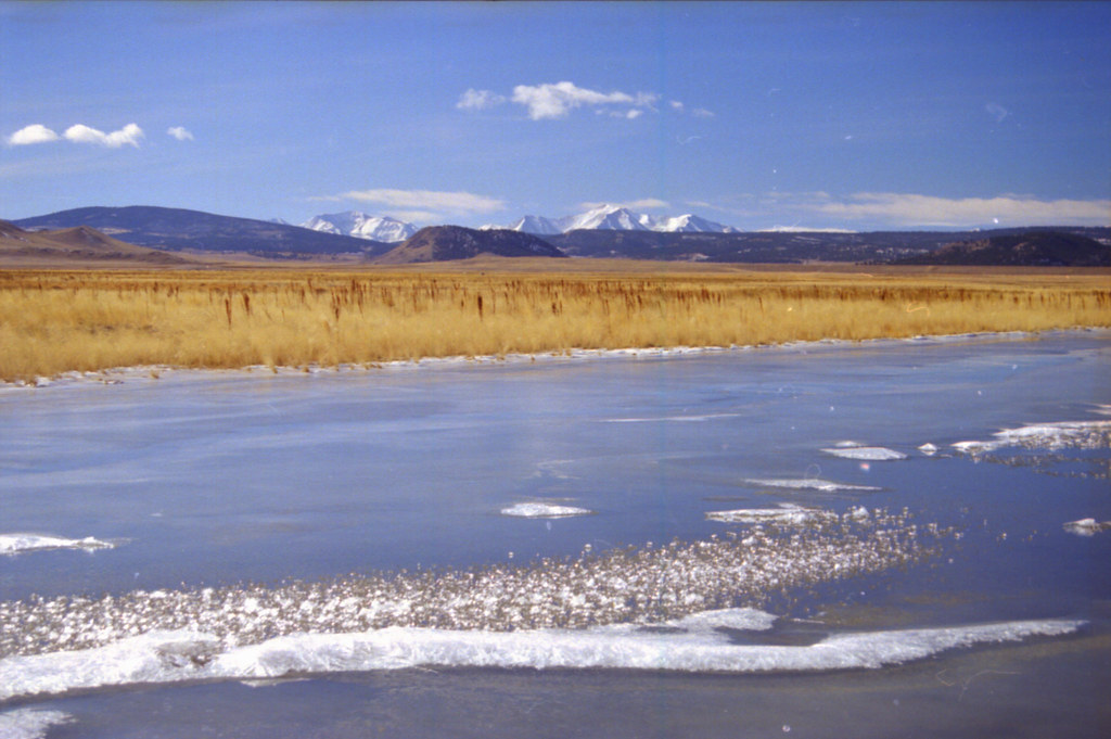
South Platte River: Hartsel, Colorado (CO)
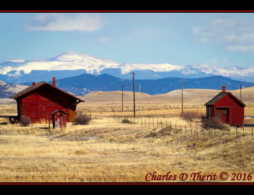
The front yard
Colorado Peaks exploration
Colorado Peaks exploration
Pike's Peak
Rocky Mountain Way
2017-02-04 13.22.40
2017-02-04 13.22.35
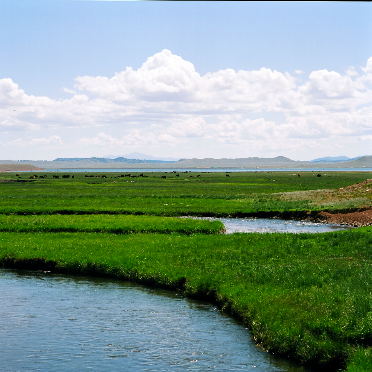
alluvial stream and cows, south park, co
2017-02-04 13.27.24
HEBERT 48
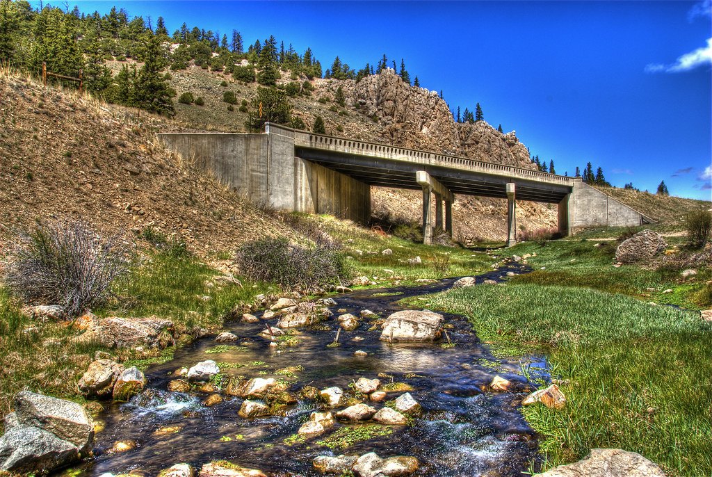
Trout Creek Bridge
Limestone Ridge
Camera Roll-57

_MG_0313.jpg

Camera Roll-142
Ice Lake
KPOW 2013--Week 46: No ideas right now

IM001506.JPG

Colorado - Trout Creek Pass - 28 May 1972
Camera Roll-58

Colorado - Trout Creek Pass - 28 May 1972
Ice Lake
Topographic Map of Hackamore Ct, Hartsel, CO, USA
Find elevation by address:

Places near Hackamore Ct, Hartsel, CO, USA:
188 Boot Ln
1200 Wagon Wheel Rd
1425 Wagon Wheel Rd
1723 Campfire Rd
2054 Campfire Rd
295 Saddle Horn Rd
131 Pack Saddle Rd
3480 Singletree Rd
2604 Singletree Rd
2345 Singletree Rd
2345 Singletree Rd
2345 Singletree Rd
2315 Singletree Rd
US-24, Hartsel, CO, USA
45 Singletree Rd
Kaufman Ridge North
Antero Reservoir
Kaufman Ridge Hp
Apalachee Road
Hartsel, CO, USA
Recent Searches:
- Elevation of Congressional Dr, Stevensville, MD, USA
- Elevation of Bellview Rd, McLean, VA, USA
- Elevation of Stage Island Rd, Chatham, MA, USA
- Elevation of Shibuya Scramble Crossing, 21 Udagawacho, Shibuya City, Tokyo -, Japan
- Elevation of Jadagoniai, Kaunas District Municipality, Lithuania
- Elevation of Pagonija rock, Kranto 7-oji g. 8"N, Kaunas, Lithuania
- Elevation of Co Rd 87, Jamestown, CO, USA
- Elevation of Tenjo, Cundinamarca, Colombia
- Elevation of Côte-des-Neiges, Montreal, QC H4A 3J6, Canada
- Elevation of Bobcat Dr, Helena, MT, USA