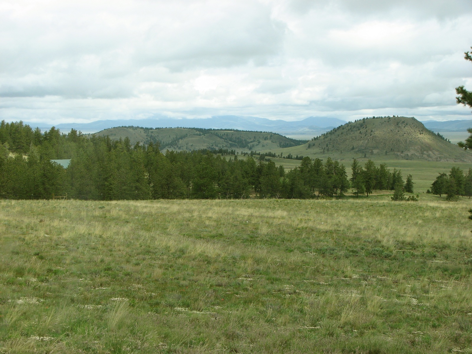
Elevation of Kaufman Ridge North, Colorado, USA
Location: United States > Colorado > Buena Vista >
Longitude: -105.96527
Latitude: 38.8705555
Elevation: 3197m / 10489feet
Barometric Pressure: 68KPa
Elevation Map:
Satellite Map:
Related Photos:

Color Rocks
Mt Princeton View
Collegiate Peaks Panorama

Mount Princeton from BV

Colorado Peaks exploration

Arkansas Valley
Panoramic View from Top of Midland Hill
Which college is that ?
Zoomed In View of Starting Point
View of Castle Rock Gulch Area
BV Castle Rock Gulch 075
070701-1
The front yard
Topographic Map of Kaufman Ridge North, Colorado, USA
Find elevation by address:

Places near Kaufman Ridge North, Colorado, USA:
2315 Singletree Rd
2345 Singletree Rd
2345 Singletree Rd
2345 Singletree Rd
2604 Singletree Rd
Co Rd, Buena Vista, CO, USA
3480 Singletree Rd
Kaufman Ridge Hp
2054 Campfire Rd
1723 Campfire Rd
45 Singletree Rd
1425 Wagon Wheel Rd
1200 Wagon Wheel Rd
188 Boot Ln
US-24, Hartsel, CO, USA
Limestone Ridge
118 Hackamore Ct
131 Pack Saddle Rd
295 Saddle Horn Rd
Antero Reservoir
Recent Searches:
- Elevation of Corso Fratelli Cairoli, 35, Macerata MC, Italy
- Elevation of Tallevast Rd, Sarasota, FL, USA
- Elevation of 4th St E, Sonoma, CA, USA
- Elevation of Black Hollow Rd, Pennsdale, PA, USA
- Elevation of Oakland Ave, Williamsport, PA, USA
- Elevation of Pedrógão Grande, Portugal
- Elevation of Klee Dr, Martinsburg, WV, USA
- Elevation of Via Roma, Pieranica CR, Italy
- Elevation of Tavkvetili Mountain, Georgia
- Elevation of Hartfords Bluff Cir, Mt Pleasant, SC, USA