Elevation of East Buffalo Peak, Colorado, USA
Location: United States > Colorado > Buena Vista >
Longitude: -106.10946
Latitude: 38.9872168
Elevation: 4016m / 13176feet
Barometric Pressure: 61KPa
Elevation Map:
Satellite Map:
Related Photos:

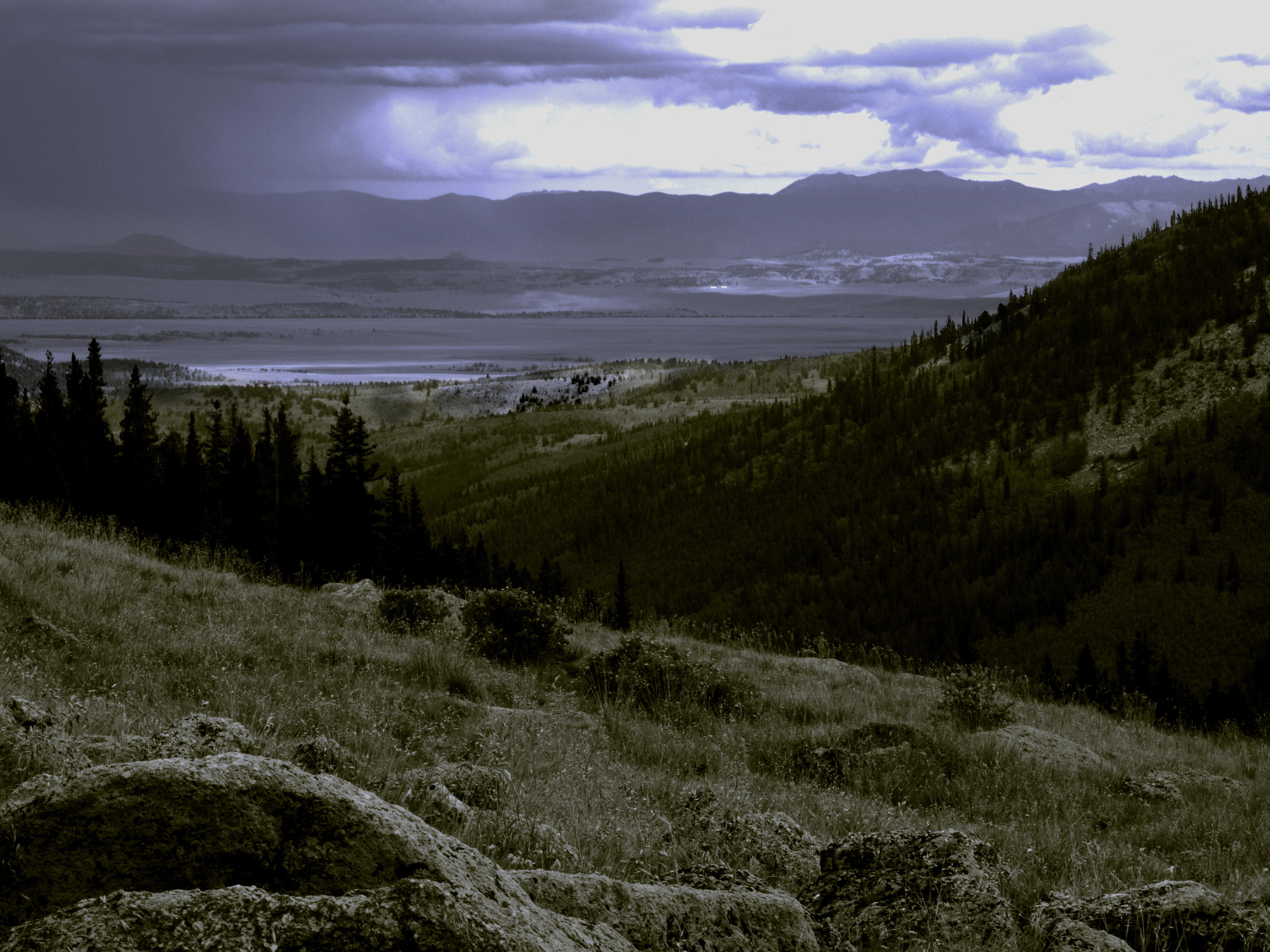
Color Rocks
LCBPW_08-04-2011_1099_IMG_5962
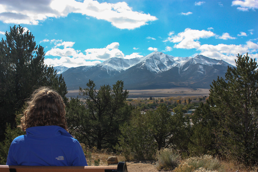
Mt Princeton View
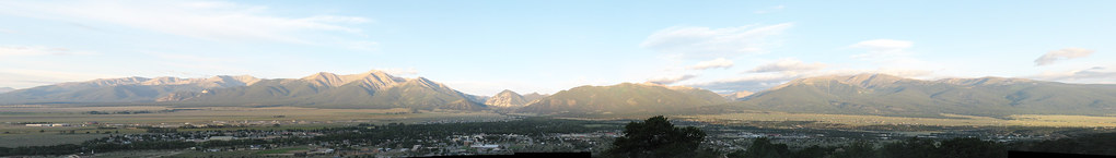
Collegiate Peaks Panorama

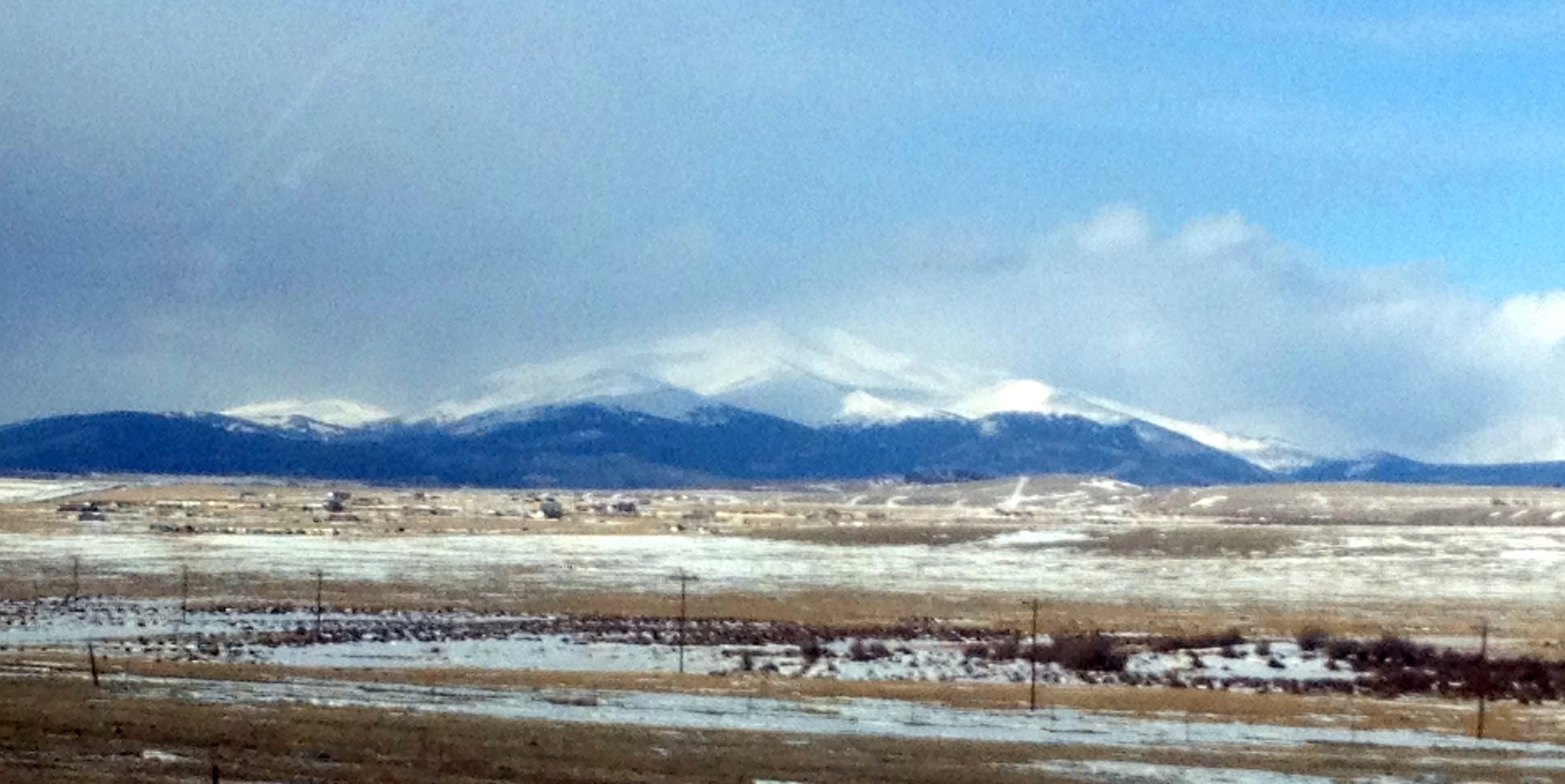
Mount Princeton from BV
Mount Silverheels
Topographic Map of East Buffalo Peak, Colorado, USA
Find elevation by address:

Places near East Buffalo Peak, Colorado, USA:
Marmot Peak
Railroad Bridge Campground
Co Rd A, Buena Vista, CO, USA
Americus
32899 Co Rd 371
Midland Tunnels
15515 Silver Tip Ct
Browns Canyon Rafting
30000 Co Rd 371
Limestone Ridge
US-24, Hartsel, CO, USA
45 Singletree Rd
Co Rd, Buena Vista, CO, USA
3480 Singletree Rd
188 Boot Ln
Kaufman Ridge North
1425 Wagon Wheel Rd
1200 Wagon Wheel Rd
2604 Singletree Rd
2315 Singletree Rd
Recent Searches:
- Elevation of Corso Fratelli Cairoli, 35, Macerata MC, Italy
- Elevation of Tallevast Rd, Sarasota, FL, USA
- Elevation of 4th St E, Sonoma, CA, USA
- Elevation of Black Hollow Rd, Pennsdale, PA, USA
- Elevation of Oakland Ave, Williamsport, PA, USA
- Elevation of Pedrógão Grande, Portugal
- Elevation of Klee Dr, Martinsburg, WV, USA
- Elevation of Via Roma, Pieranica CR, Italy
- Elevation of Tavkvetili Mountain, Georgia
- Elevation of Hartfords Bluff Cir, Mt Pleasant, SC, USA