Elevation of Jones Hill, Colorado, USA
Location: United States > Colorado > Buena Vista >
Longitude: -106.06001
Latitude: 39.042216
Elevation: 3258m / 10689feet
Barometric Pressure: 68KPa
Elevation Map:
Satellite Map:
Related Photos:
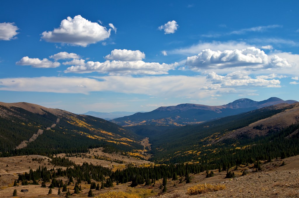
the view below

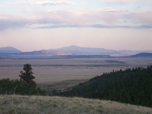
Colorado Peaks exploration
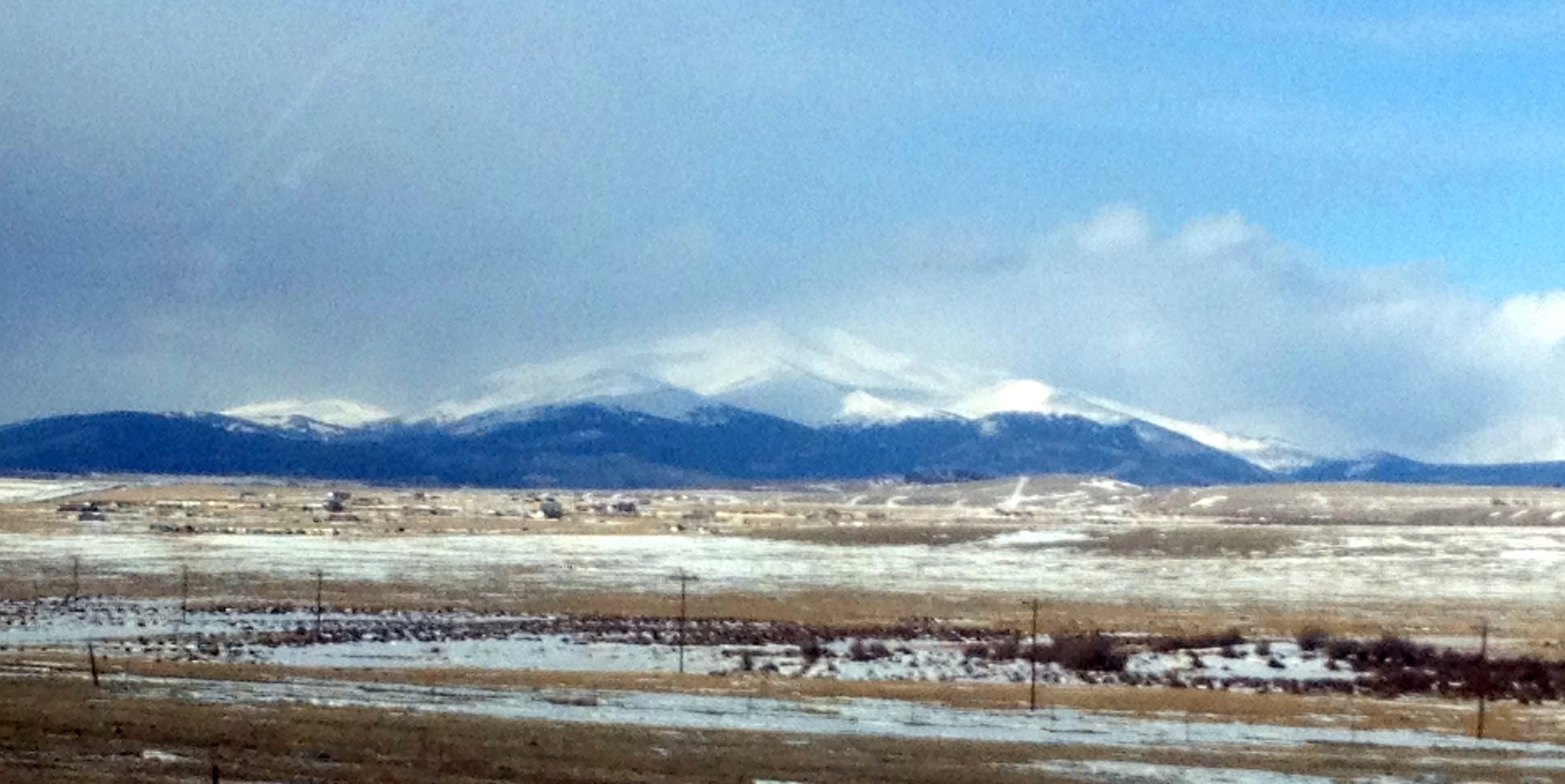
View of Pikes Peak
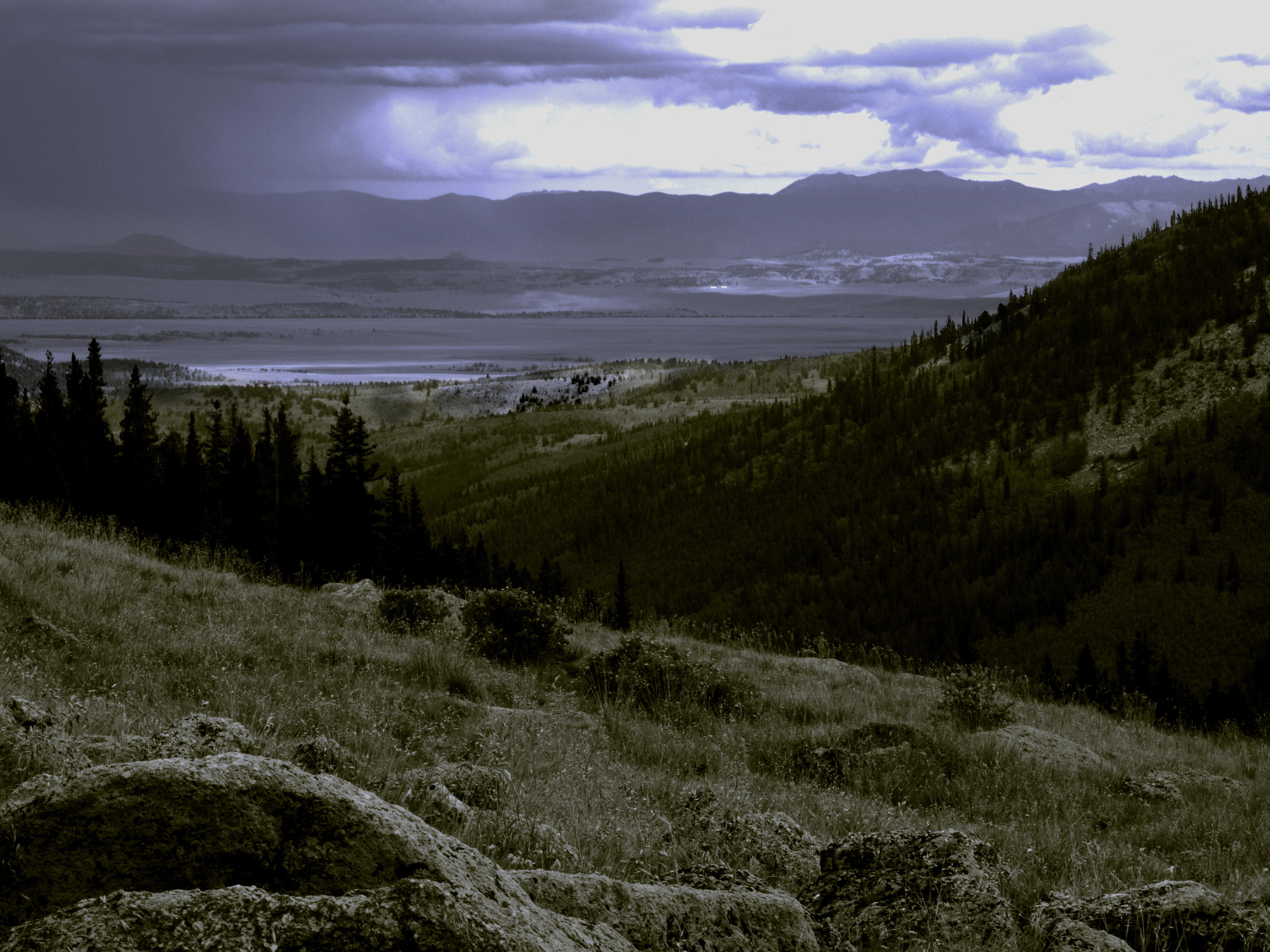
Mount Silverheels
LCBPW_08-04-2011_1099_IMG_5962
Topographic Map of Jones Hill, Colorado, USA
Find elevation by address:

Places near Jones Hill, Colorado, USA:
216 Rich Creek Ct
59 Meadow Dr
Buffalo Springs Campground
East Buffalo Peak
Round Hill
3156 High Creek Rd
Marmot Peak
651 Lamb Mountain Rd
1365 Kokanee Rd
Stellar Jay Way
US-24, Hartsel, CO, USA
416 Foxtail Dr
79 Wild Rye Rd
45 Singletree Rd
Railroad Bridge Campground
96 Bluestem Ct
Antero Reservoir
South Peak
Circle 73
1157 Bonell Dr
Recent Searches:
- Elevation of Corso Fratelli Cairoli, 35, Macerata MC, Italy
- Elevation of Tallevast Rd, Sarasota, FL, USA
- Elevation of 4th St E, Sonoma, CA, USA
- Elevation of Black Hollow Rd, Pennsdale, PA, USA
- Elevation of Oakland Ave, Williamsport, PA, USA
- Elevation of Pedrógão Grande, Portugal
- Elevation of Klee Dr, Martinsburg, WV, USA
- Elevation of Via Roma, Pieranica CR, Italy
- Elevation of Tavkvetili Mountain, Georgia
- Elevation of Hartfords Bluff Cir, Mt Pleasant, SC, USA