Elevation of Blaze Rd, West Liberty, KY, USA
Location: United States > Kentucky > Morgan County > West Liberty >
Longitude: -83.327143
Latitude: 38.0190035
Elevation: 297m / 974feet
Barometric Pressure: 98KPa
Elevation Map:
Satellite Map:
Related Photos:

A & Ω
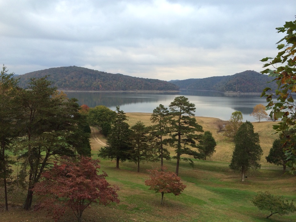
Cassidy Estate View
A & Ω
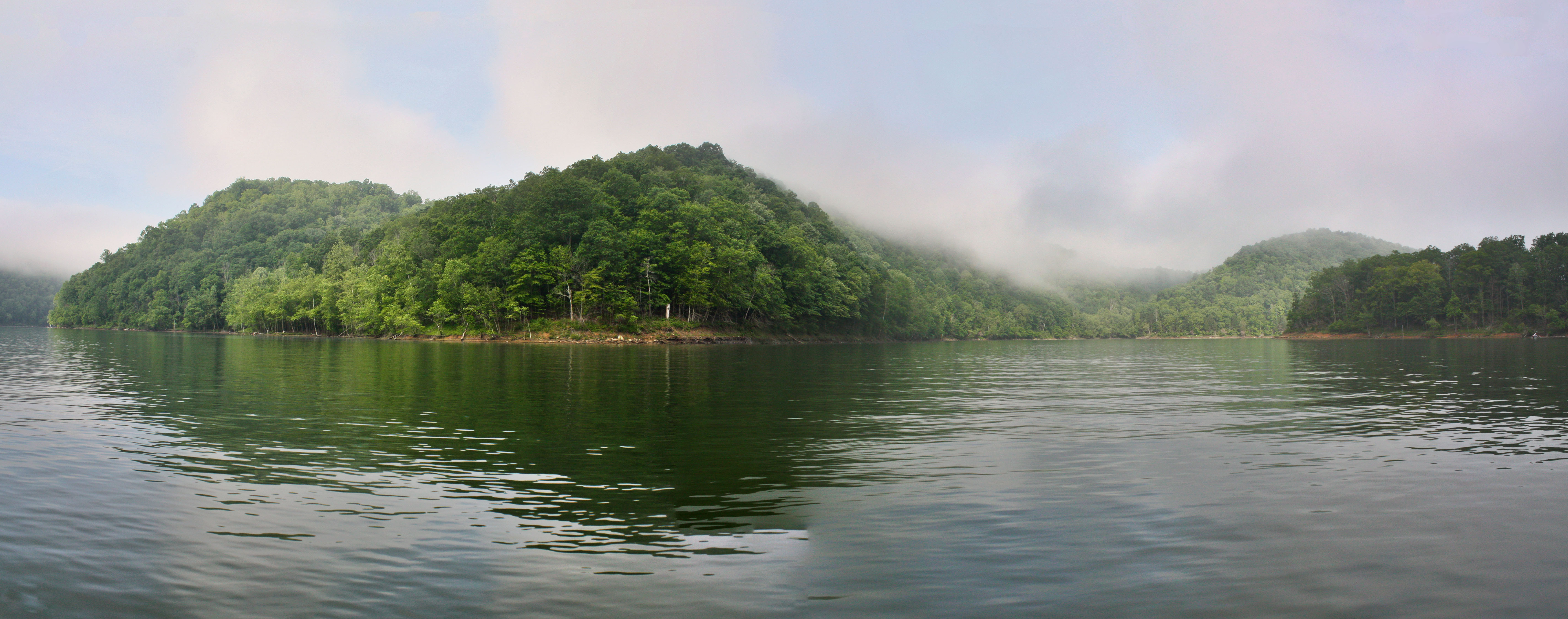
Another Panorama of the Lake

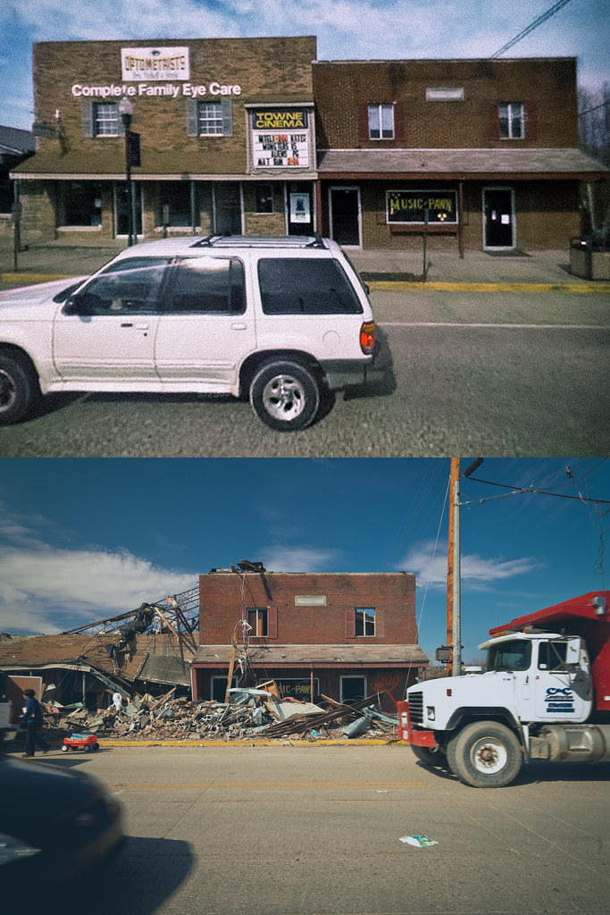
Morgan county courthouse, West Liberty, KY

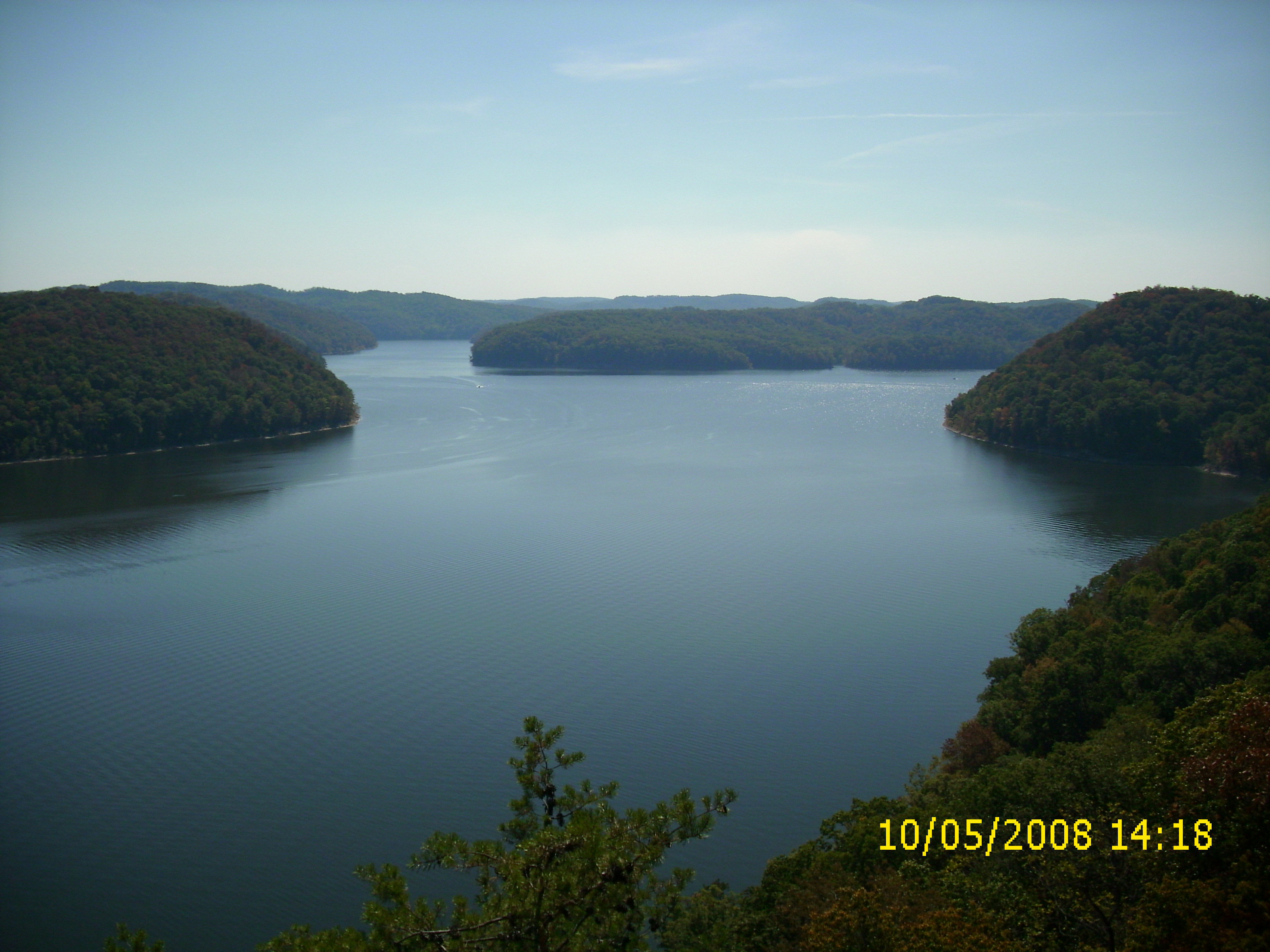
View from Look Out Rock

Cave Run

The Calm Before the Storm
looking right

A bad day at the lake is better than any good day at work.

Mt. Lockegee Panorama

Mt. Lockegee, Clearfield, KY
Topographic Map of Blaze Rd, West Liberty, KY, USA
Find elevation by address:

Places near Blaze Rd, West Liberty, KY, USA:
KY-7, West Liberty, KY, USA
1055 Barnett Ridge Rd
11610 Ky-7
9116 State Hwy 711
Spanglin
130 Withrow Mountain Rd
330 Withrow Mountain Rd
81 Hemlock Ln
Turkey Branch Road
1605 Rosedale Rd
Conn Rd, Morehead, KY, USA
Turkey Branch Road
4907 Ky-7
Grover Lawson Loop Road
544 Singleton Rd
2071 Trent Ridge Rd
194 Cr-1096
KY-7, West Liberty, KY, USA
550 Ccc Trail
Zilpo Recreation Area
Recent Searches:
- Elevation of 3 Nestling Wood Dr, Long Valley, NJ, USA
- Elevation of Ilungu, Tanzania
- Elevation of Yellow Springs Road, Yellow Springs Rd, Chester Springs, PA, USA
- Elevation of Rēzekne Municipality, Latvia
- Elevation of Plikpūrmaļi, Vērēmi Parish, Rēzekne Municipality, LV-, Latvia
- Elevation of 2 Henschke Ct, Caboolture QLD, Australia
- Elevation of Redondo Ave, Long Beach, CA, USA
- Elevation of Sadovaya Ulitsa, 20, Rezh, Sverdlovskaya oblast', Russia
- Elevation of Ulitsa Kalinina, 79, Rezh, Sverdlovskaya oblast', Russia
- Elevation of 72-31 Metropolitan Ave, Middle Village, NY, USA