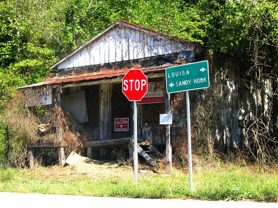
Elevation of KY-7, West Liberty, KY, USA
Location: United States > Kentucky > Elliott County >
Longitude: -83.197118
Latitude: 38.0619065
Elevation: 244m / 801feet
Barometric Pressure: 98KPa
Elevation Map:
Satellite Map:
Related Photos:

Police Checkpoint

The Old Swimmin' Hole

I Found Your Boat
Near Sandy Hook, Kentucky

2013: last breath

Gravity Is a Harsh Mistress

Better Off
Topographic Map of KY-7, West Liberty, KY, USA
Find elevation by address:

Places near KY-7, West Liberty, KY, USA:
Turkey Branch Road
Turkey Branch Road
KY-7, West Liberty, KY, USA
Spanglin
11610 Ky-7
Sandy Hook
Mobley Street
KY-7, West Liberty, KY, USA
9116 State Hwy 711
2071 Trent Ridge Rd
Patrick Hollow
Conn Rd, Morehead, KY, USA
108 Simmons Loop
Elliott County
Blevins Road
130 Withrow Mountain Rd
330 Withrow Mountain Rd
1605 Rosedale Rd
Blaze Rd, West Liberty, KY, USA
State Hwy, Olive Hill, KY, USA
Recent Searches:
- Elevation of Luther Road, Luther Rd, Auburn, CA, USA
- Elevation of Unnamed Road, Respublika Severnaya Osetiya — Alaniya, Russia
- Elevation of Verkhny Fiagdon, North Ossetia–Alania Republic, Russia
- Elevation of F. Viola Hiway, San Rafael, Bulacan, Philippines
- Elevation of Herbage Dr, Gulfport, MS, USA
- Elevation of Lilac Cir, Haldimand, ON N3W 2G9, Canada
- Elevation of Harrod Branch Road, Harrod Branch Rd, Kentucky, USA
- Elevation of Wyndham Grand Barbados Sam Lords Castle All Inclusive Resort, End of Belair Road, Long Bay, Bridgetown Barbados
- Elevation of Iga Trl, Maggie Valley, NC, USA
- Elevation of N Co Rd 31D, Loveland, CO, USA