Elevation of Black Brushy Mountain, New Mexico, USA
Location: Las Cruces >
Longitude: -106.51888
Latitude: 32.5975
Elevation: 2264m / 7428feet
Barometric Pressure: 77KPa
Elevation Map:
Satellite Map:
Related Photos:
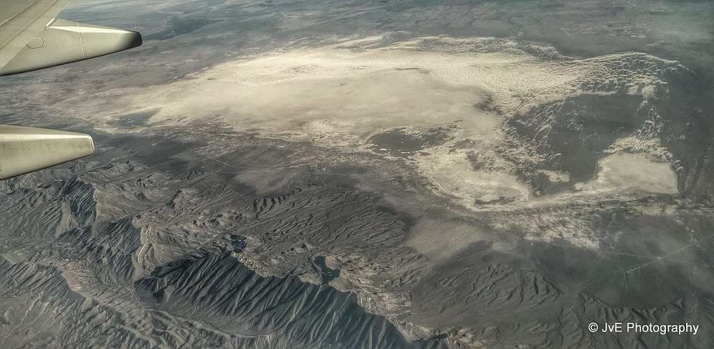
World’s largest field of gypsum sand dunes
Topographic Map of Black Brushy Mountain, New Mexico, USA
Find elevation by address:

Places near Black Brushy Mountain, New Mexico, USA:
San Andres Peak
Bear Peak
Quartzite Mountain
Mineral Hill
San Augustin Peak
2nd St, Organ, NM, USA
14 Bushland Ave
Aguirre Springs Road
423 Vanguard Dr
6523 Brahman Rd
Baylor Peak
Lacrosse Street
Moongate Road
White Sands Missile Range Museum
White Sands
236 Jupiter Ave
Organ Mountain National Recreation Area
Ripley Street
San Andres National Wildlife Refuge
Agricultural Research Services
Recent Searches:
- Elevation of Corso Fratelli Cairoli, 35, Macerata MC, Italy
- Elevation of Tallevast Rd, Sarasota, FL, USA
- Elevation of 4th St E, Sonoma, CA, USA
- Elevation of Black Hollow Rd, Pennsdale, PA, USA
- Elevation of Oakland Ave, Williamsport, PA, USA
- Elevation of Pedrógão Grande, Portugal
- Elevation of Klee Dr, Martinsburg, WV, USA
- Elevation of Via Roma, Pieranica CR, Italy
- Elevation of Tavkvetili Mountain, Georgia
- Elevation of Hartfords Bluff Cir, Mt Pleasant, SC, USA