Elevation of Jupiter Ave, White Sands Missile Range, NM, USA
Location: United States > New Mexico > White Sands Missile Range >
Longitude: -106.49872
Latitude: 32.3808583
Elevation: 1334m / 4377feet
Barometric Pressure: 86KPa
Elevation Map:
Satellite Map:
Related Photos:

Organ Mountain Needles
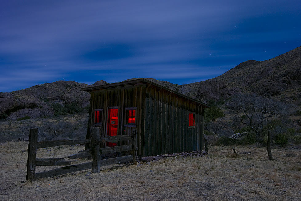
Coach House

White Sands Missile Museum

RGB 7.0

Camp & Cactus

PGM-11 Redstone Nuclear Missile and Thrust Unit XM482 Trailer

Welder's Lens used to view Trinity Nuclear Test

PGM-11 Redstone Missile Thrust Unit XM482 Transport Trailer

PGM-11 Redstone Missile Thrust Unit XM482 Transport Trailer Chock Blocks

PGM-11 Redstone Missile Aft Unit XM480 Transport Trailer

PGM-11 Redstone Missile Warhead Unit XM481 Transport Trailer

PGM-11 Redstone Missile Thrust Unit XM482 Transport Trailer

PGM-11 Redstone Missile Transport Trailers - Aft Unit XM480 Trailer, Warhead Unit XM481 Trailer, and Thrust Unit XM482 Trailer

BGM-71 TOW Missile

Sunset on the Organ Mountains

Cloud Shroud

Moon over Las Cruces and the Robledo and Doña Ana Mountains

On top
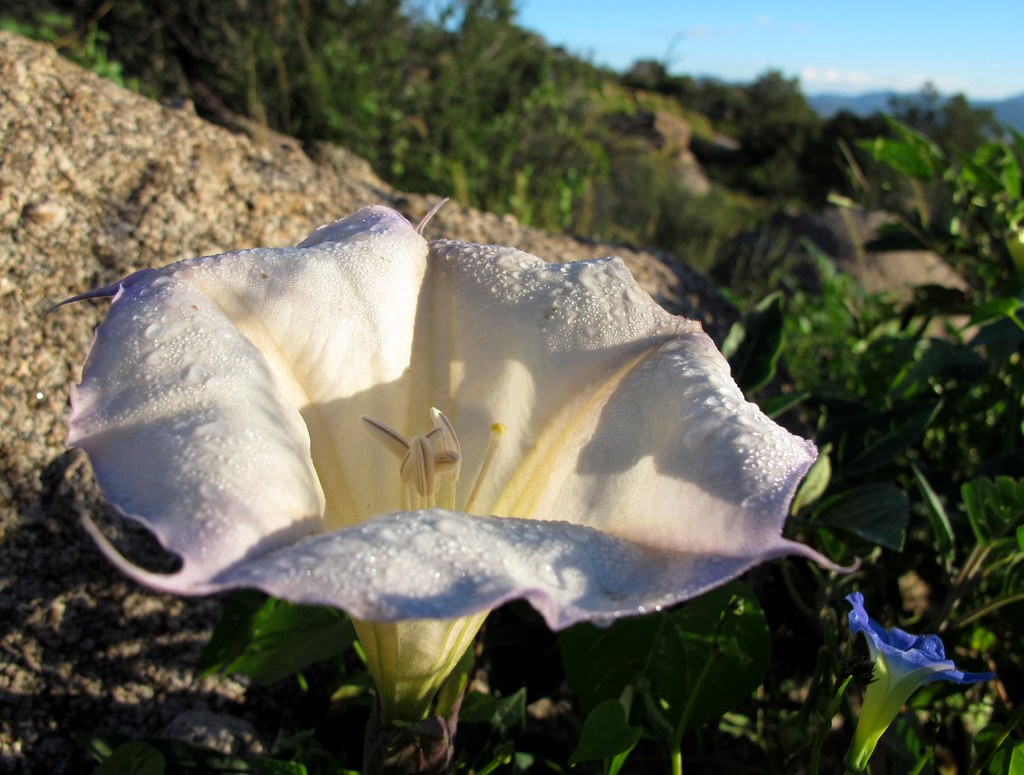
Dewy Datura

Poofy Clouds and Gnarly Mountains
the view

closer to the organs

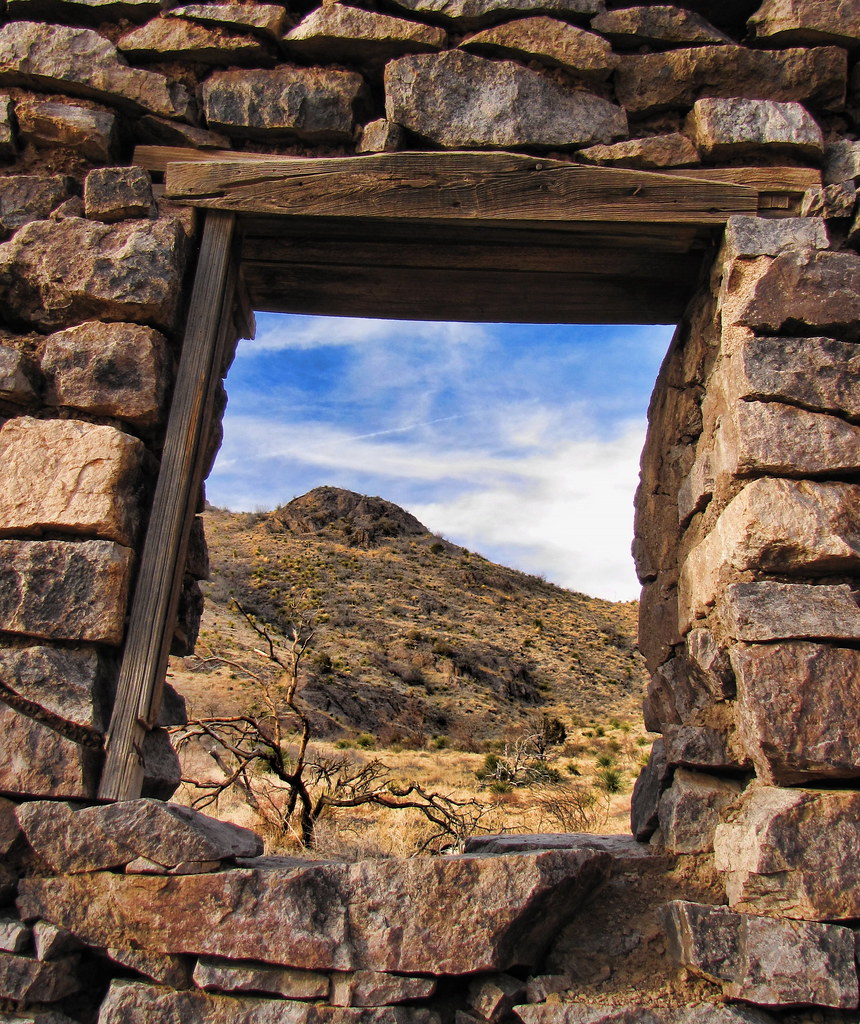
Van Patten Back Wall

After the sun has gone down

Living Dangerously

the old plantation

Scenery from the Achenbach Trail [Explore]

Lower Indian Hollow hike

Soledad Canyon Panorama

the trail in

Lower Indian Hollow hike

On the Baylor Pass Trail

rainy day window

the trail back out
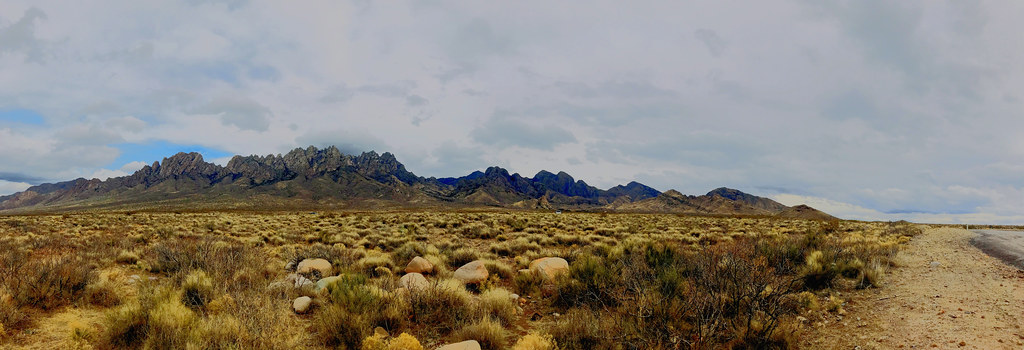
The Organ Mountains Panorama

Stars and Clouds

New Mexico
Topographic Map of Jupiter Ave, White Sands Missile Range, NM, USA
Find elevation by address:

Places near Jupiter Ave, White Sands Missile Range, NM, USA:
Lacrosse Street
Ripley Street
White Sands
423 Vanguard Dr
White Sands Missile Range Museum
Aguirre Springs Road
Organ Mountain National Recreation Area
Organ Needle
Mineral Hill
The Needles
Baylor Peak
Rabbit Ears
San Augustin Peak
2nd St, Organ, NM, USA
Quartzite Mountain
Bear Peak
6523 Brahman Rd
San Andres National Wildlife Refuge
County Road D101
Moongate Road
Recent Searches:
- Elevation of Dog Leg Dr, Minden, NV, USA
- Elevation of Dog Leg Dr, Minden, NV, USA
- Elevation of Kambingan Sa Pansol Atbp., Purok 7 Pansol, Candaba, Pampanga, Philippines
- Elevation of Pinewood Dr, New Bern, NC, USA
- Elevation of Mountain View, CA, USA
- Elevation of Foligno, Province of Perugia, Italy
- Elevation of Blauwestad, Netherlands
- Elevation of Bella Terra Blvd, Estero, FL, USA
- Elevation of Estates Loop, Priest River, ID, USA
- Elevation of Woodland Oak Pl, Thousand Oaks, CA, USA