Elevation of San Andres National Wildlife Refuge, Santa Gertrudis Dr, Las Cruces, NM, United States
Location: United States > New Mexico > Doña Ana County > Las Cruces >
Longitude: -106.63971
Latitude: 32.4115679
Elevation: 1417m / 4649feet
Barometric Pressure: 85KPa
Elevation Map:
Satellite Map:
Related Photos:

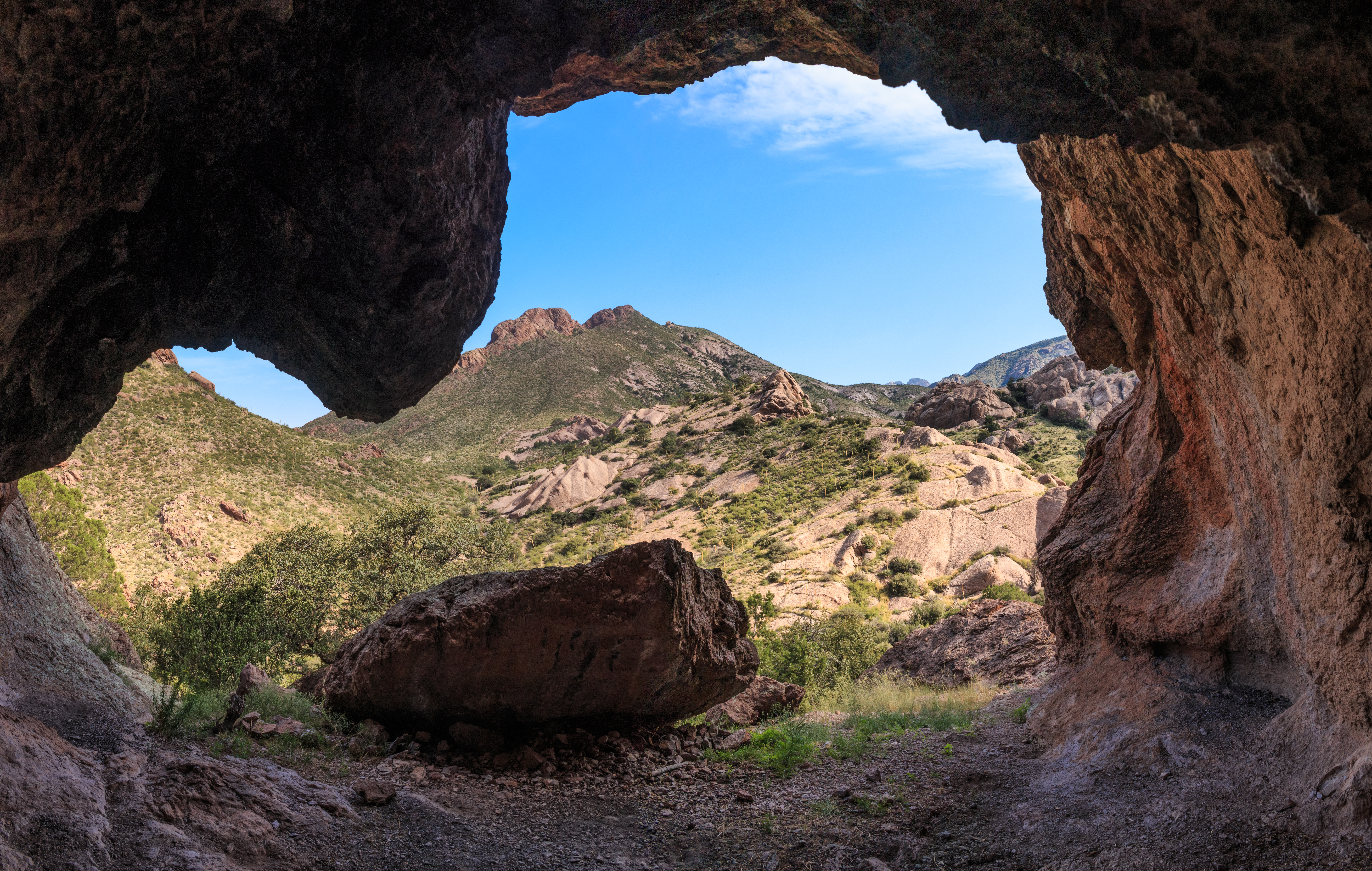
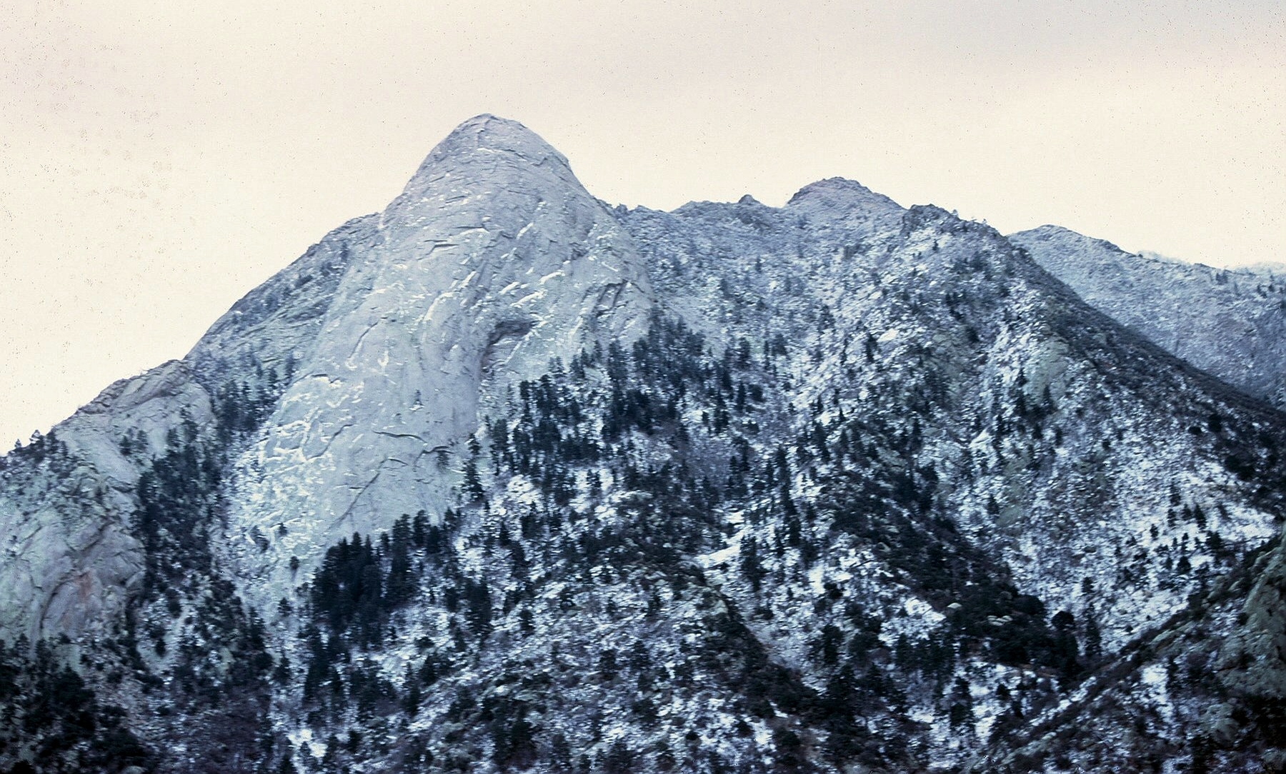
Van Patten Back Wall
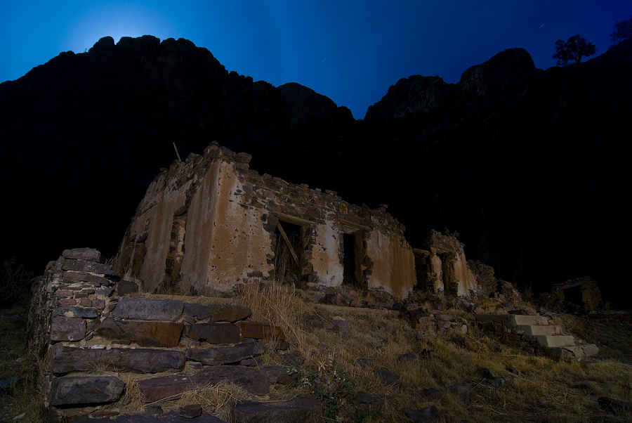
Moonrise Van Patten
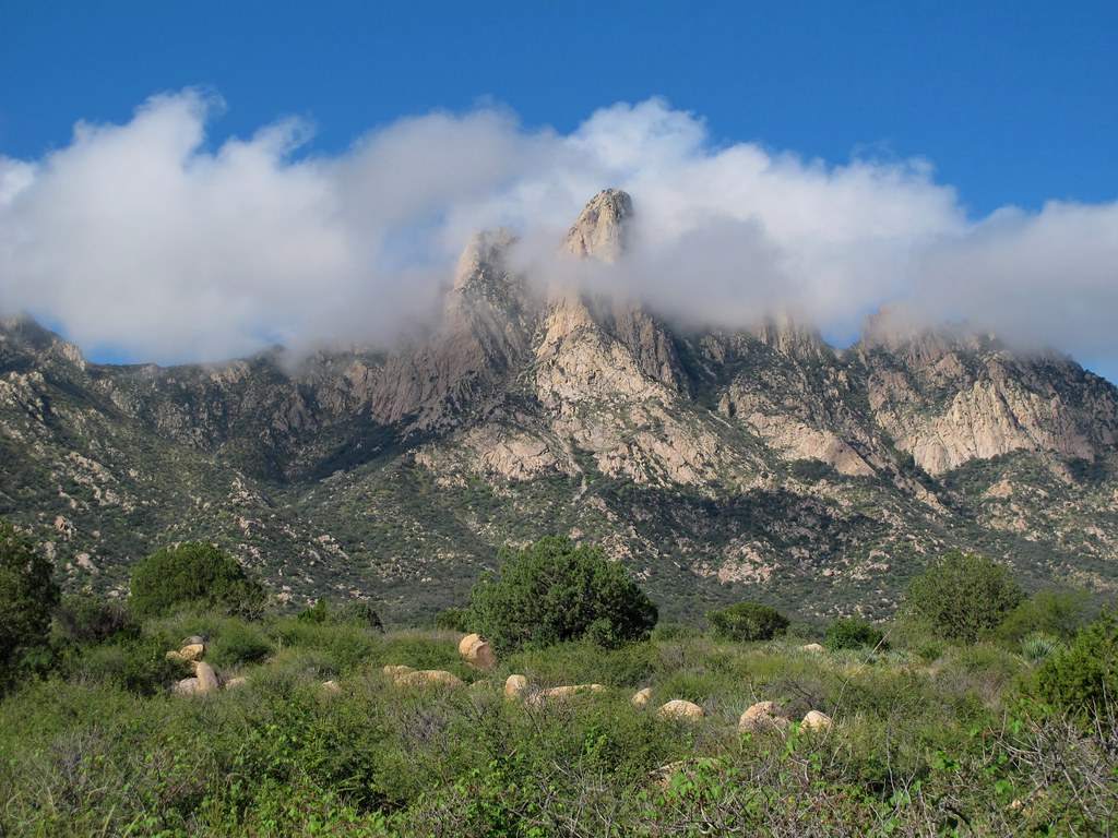
Cloud Shroud
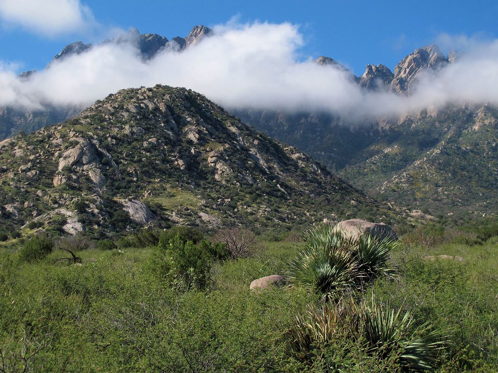
Poofy Clouds and Gnarly Mountains
the view

Moonrise, Organ Mountains, New Mexico
Achenbach Canyon hike-0614-Pano
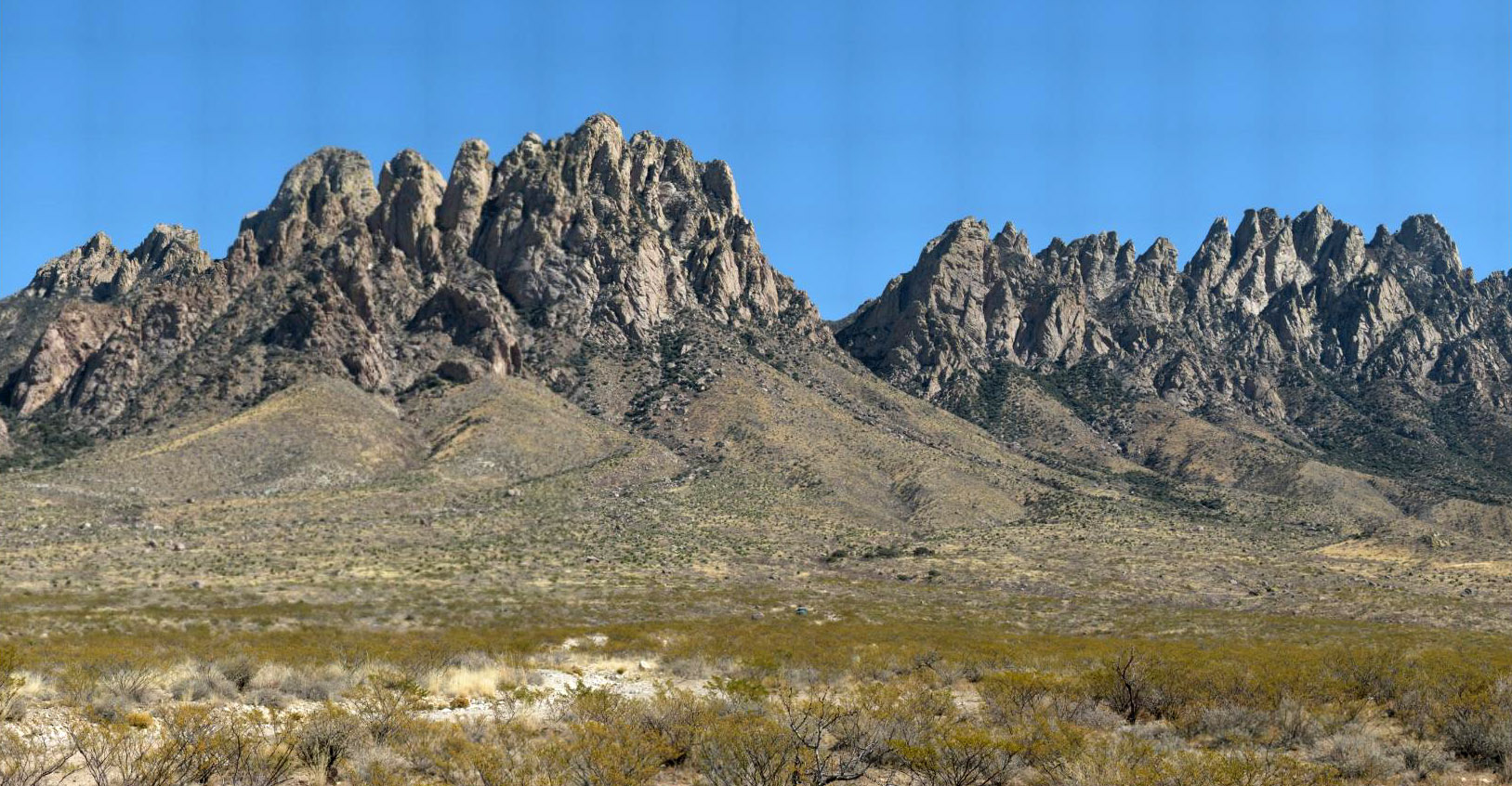
Organ Mountains
One last early-afternoon look at the Rabbit Ears and Mine House

View of "A" Mountain from Soledad Canyon in Organ Mountain foothills
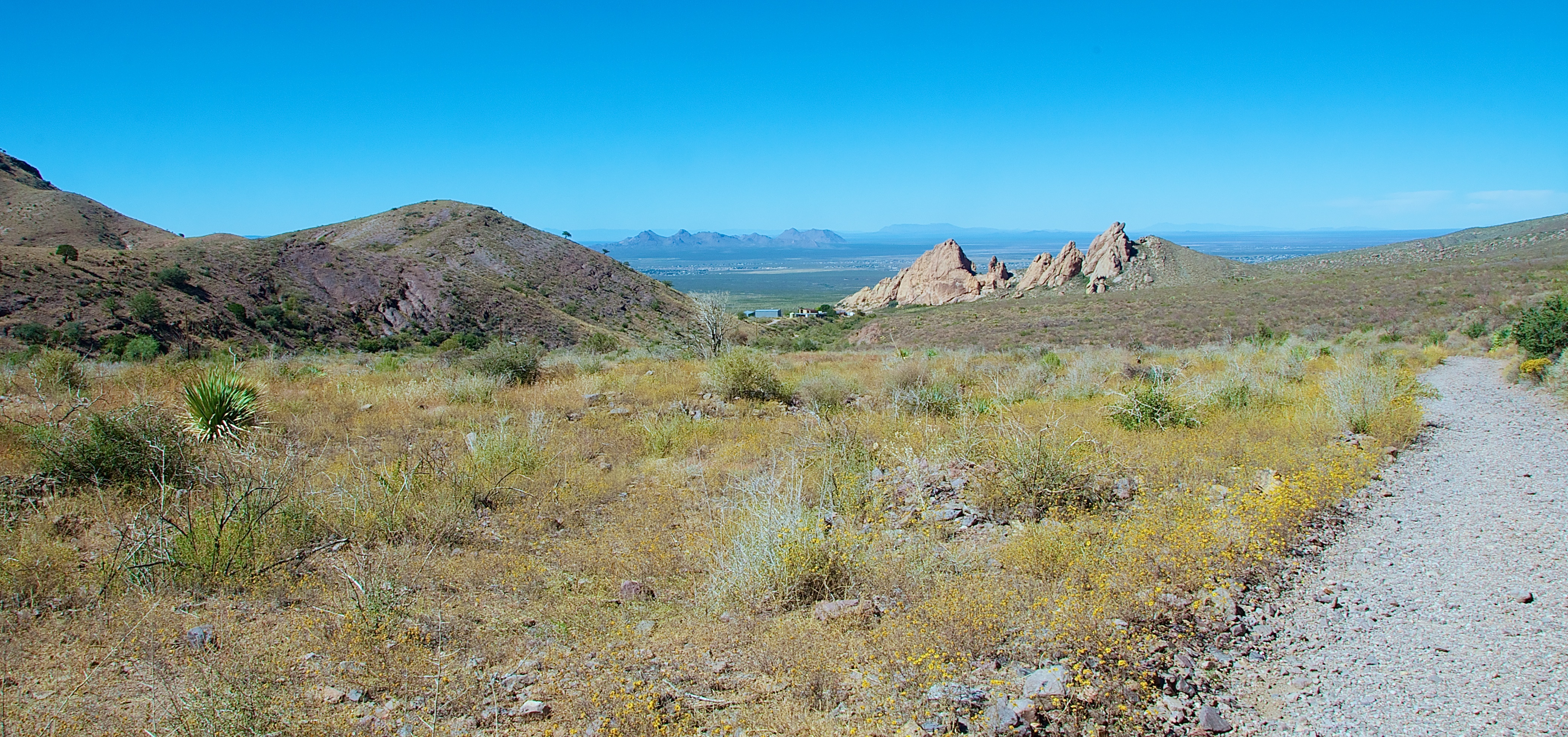
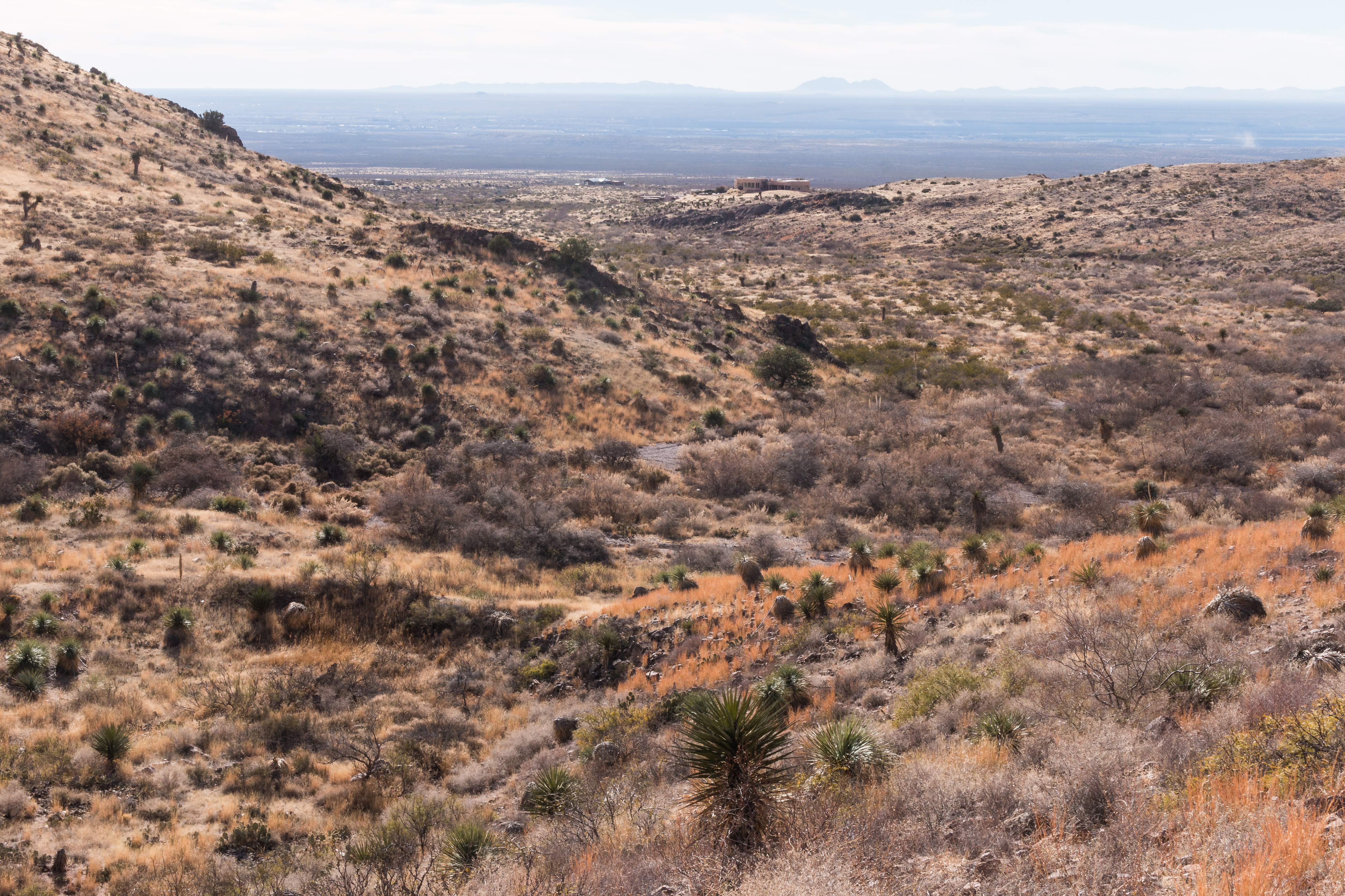
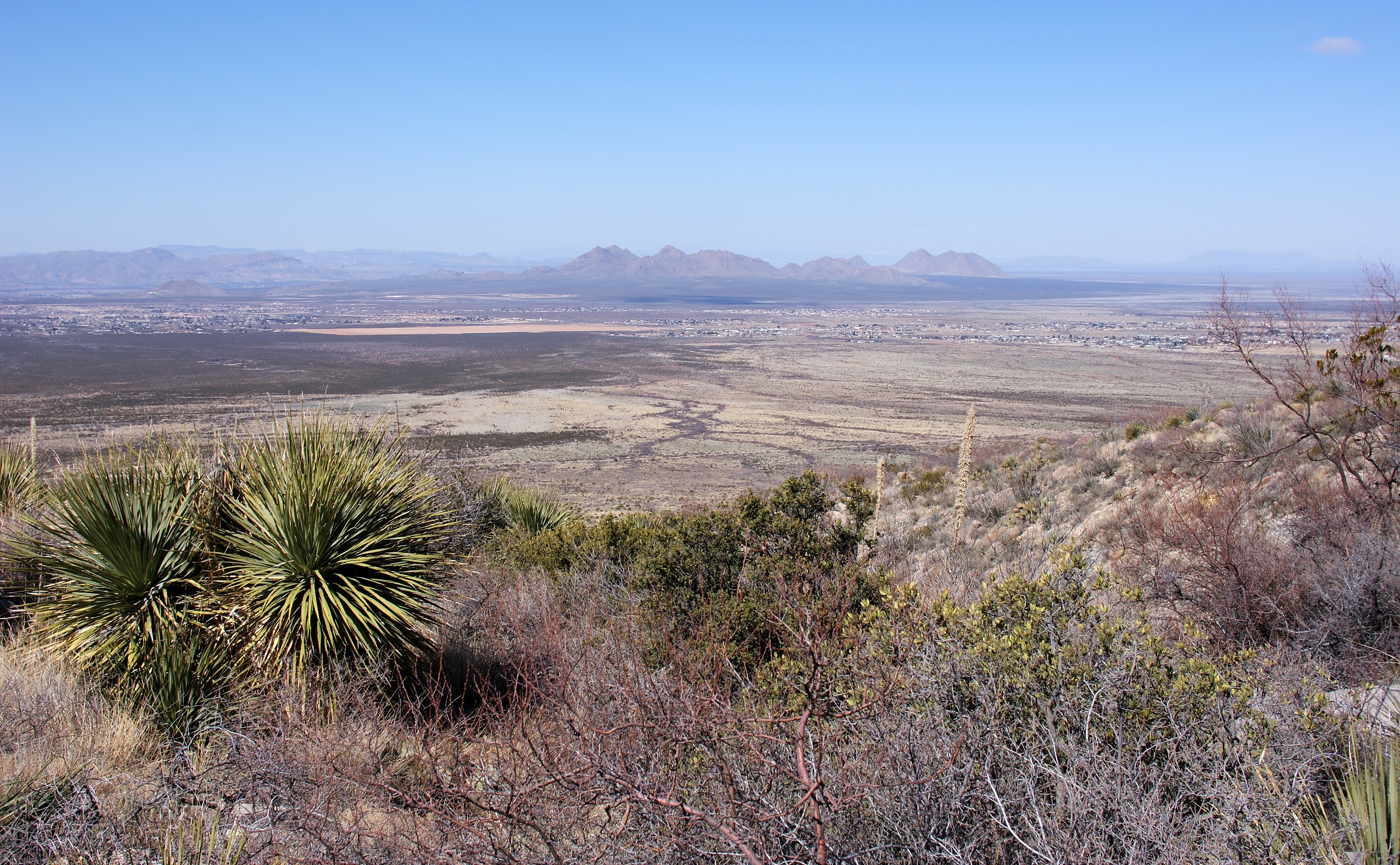
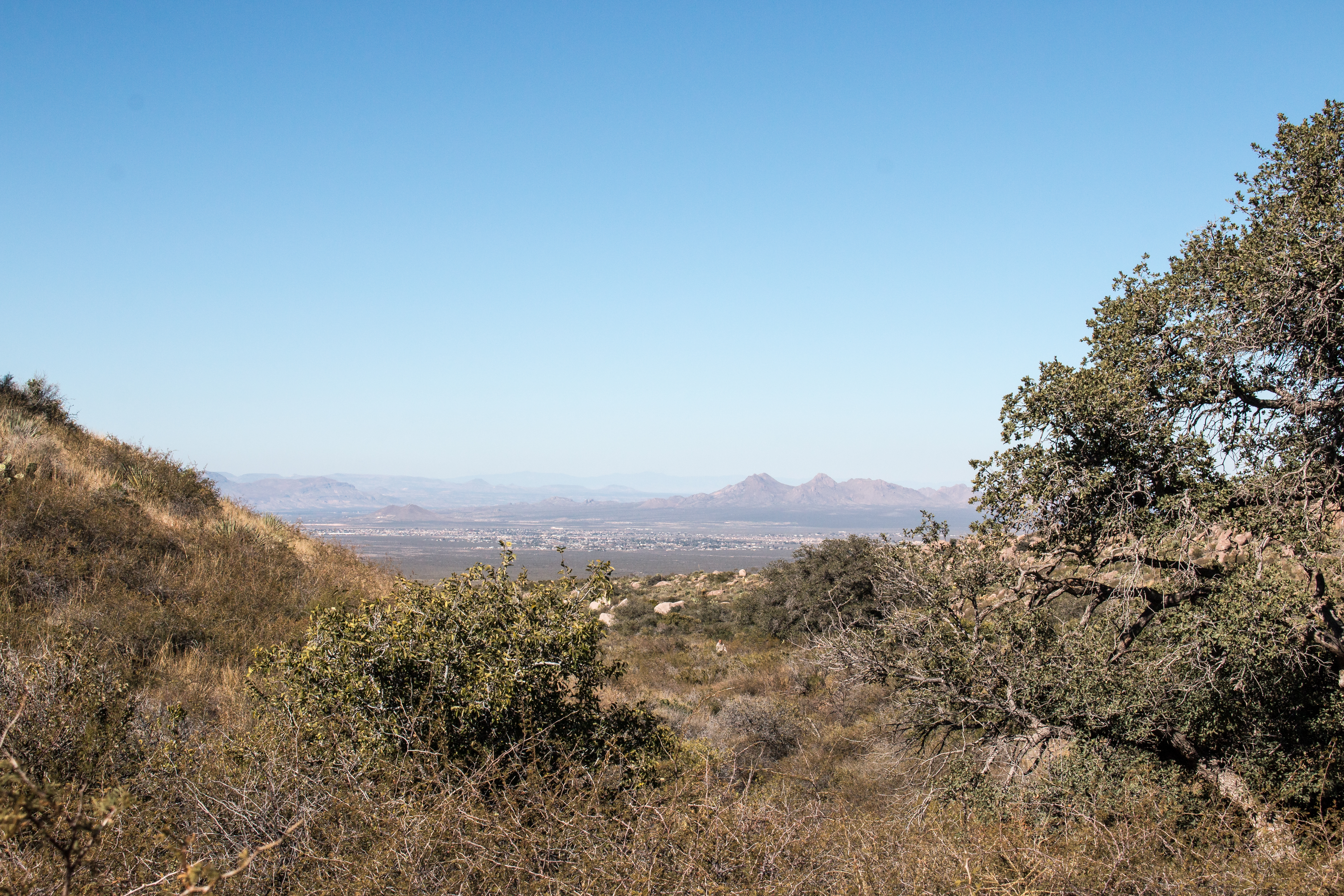
Looking Back to Las Cruces
Cold, hard, beautiful
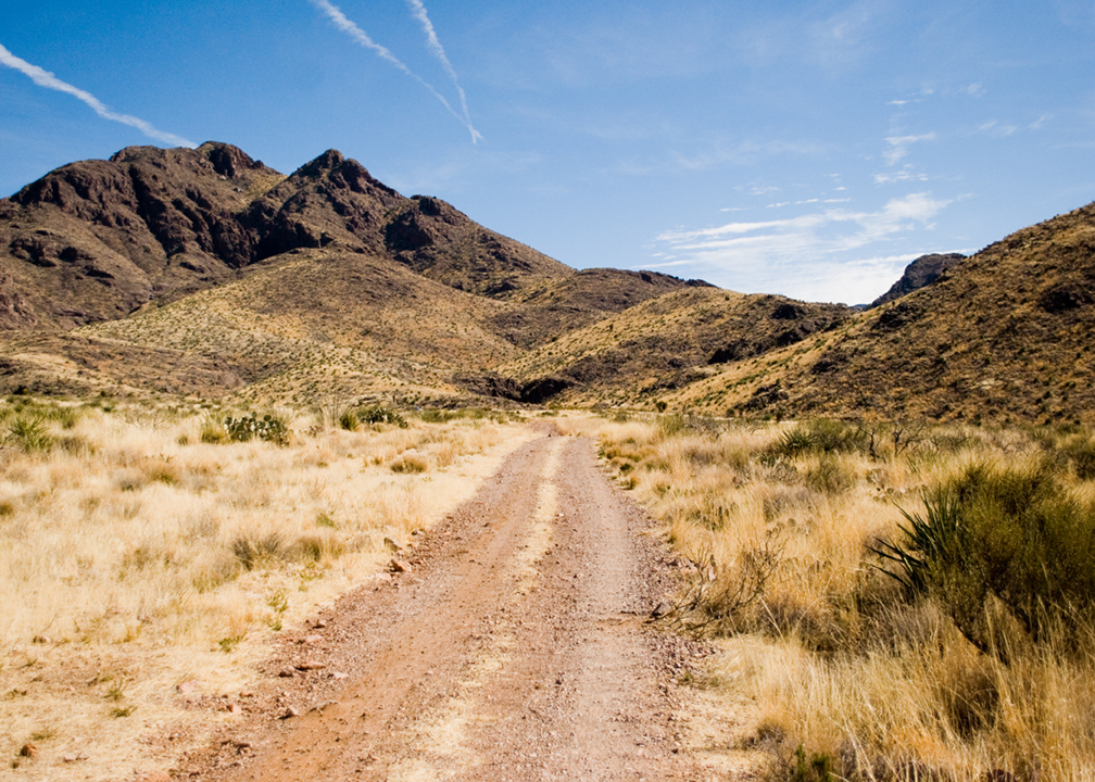
Achenbach Canyon Trail Road
Achenbach Canyon-5118
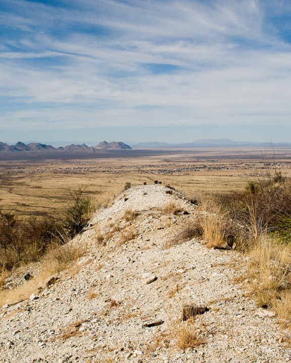
View from the Tailings Pile
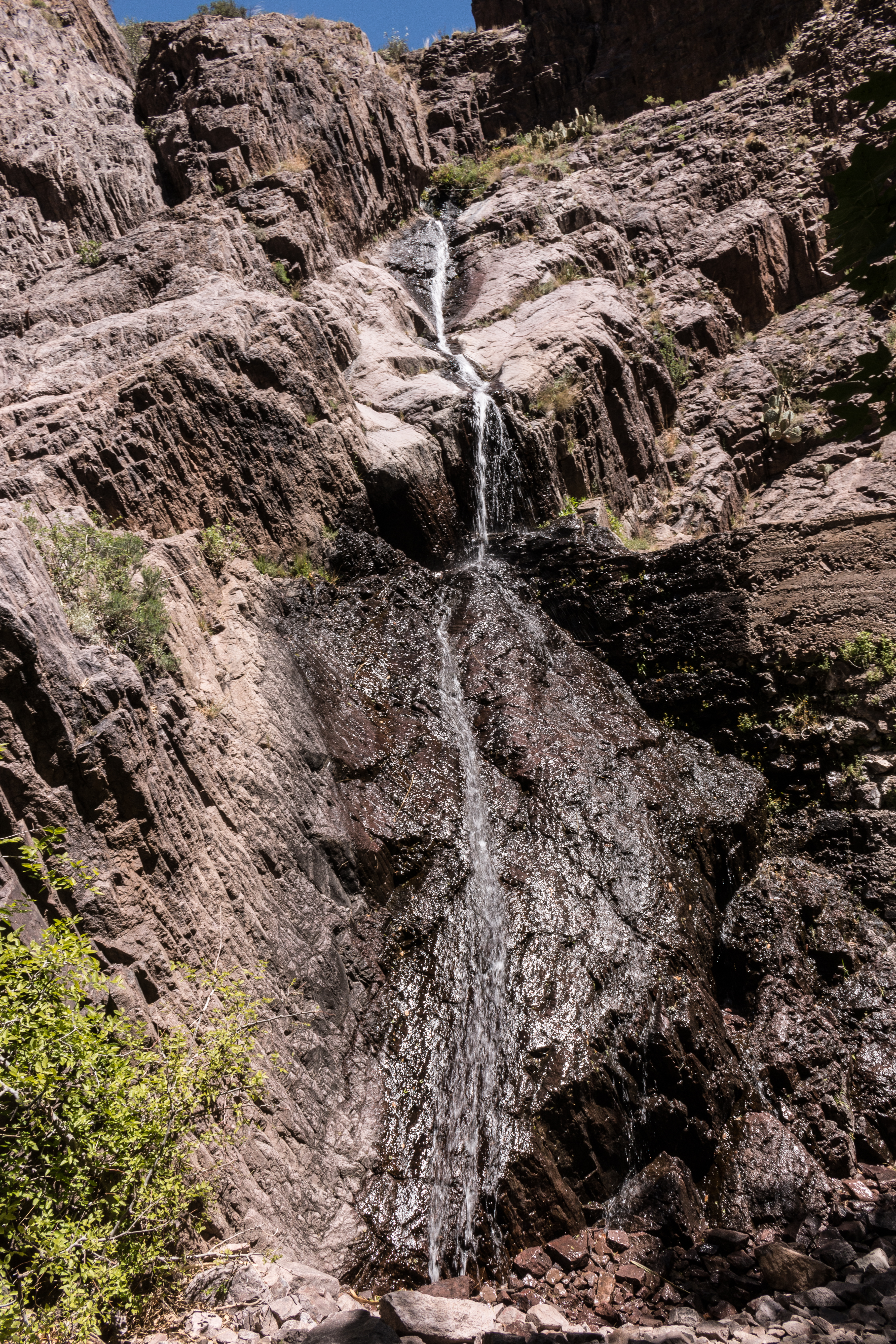
Behind the Waterfall at Bar Canyon-7588

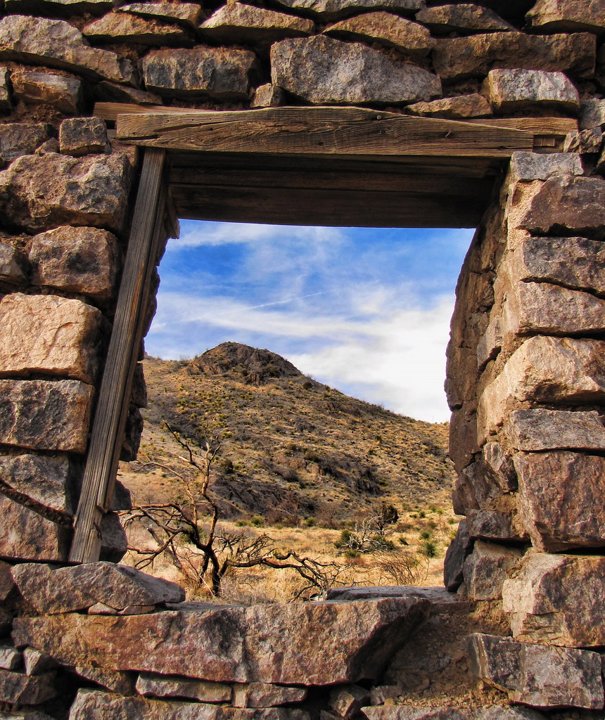
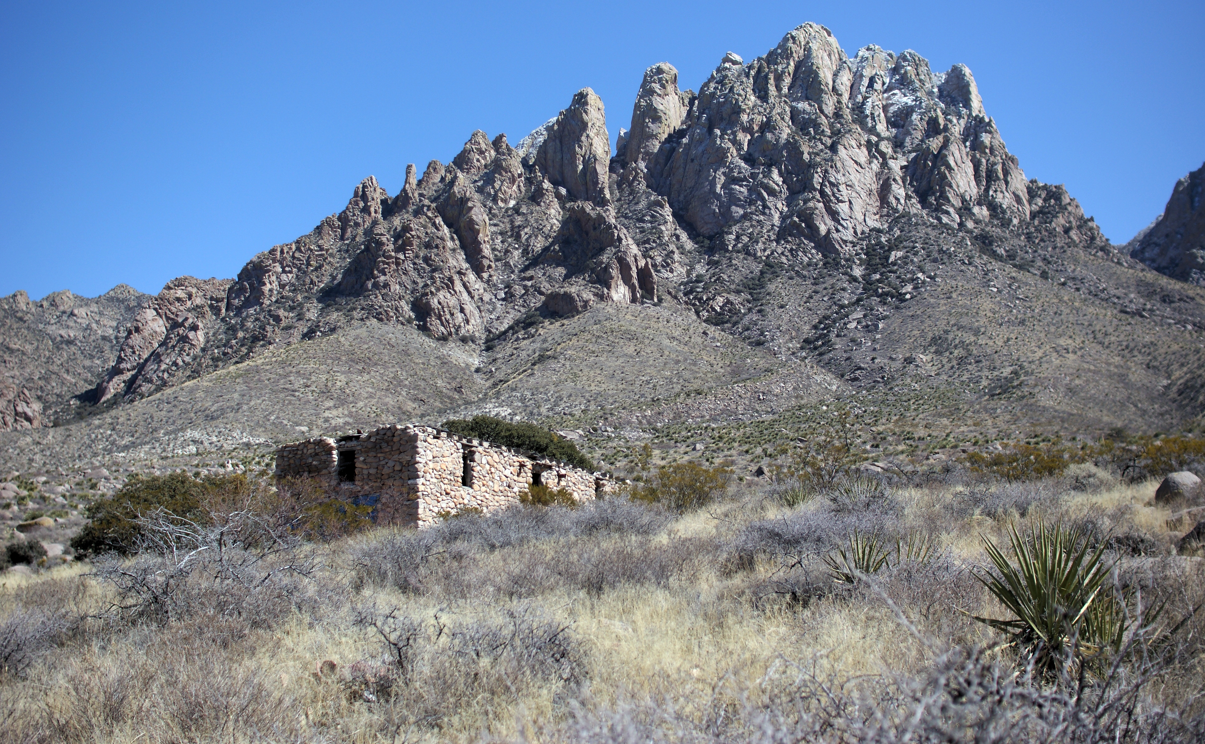
Rock House
Mesilla Valley
Filmore Cleanup Hike-4225

Southern Dona Ana - Nov 2009

Clouds, clouds, and more clouds
Topographic Map of San Andres National Wildlife Refuge, Santa Gertrudis Dr, Las Cruces, NM, United States
Find elevation by address:

Places near San Andres National Wildlife Refuge, Santa Gertrudis Dr, Las Cruces, NM, United States:
6523 Brahman Rd
County Road D101
6390 Wagons E Trail
Moongate Road
8974 Red Roof Ct
2nd St, Organ, NM, USA
Carjac Road
5933 Leaping Lizard Loop
5940 Sandia Ct
5089 Churchill Ave
Baylor Peak
Organ Mountain National Recreation Area
Rabbit Ears
7770 Cattleguard Trail
Oñate High School
San Augustin Peak
Mesa Central Drive
The Needles
14 Bushland Ave
Aguirre Springs Road
Recent Searches:
- Elevation of Corso Fratelli Cairoli, 35, Macerata MC, Italy
- Elevation of Tallevast Rd, Sarasota, FL, USA
- Elevation of 4th St E, Sonoma, CA, USA
- Elevation of Black Hollow Rd, Pennsdale, PA, USA
- Elevation of Oakland Ave, Williamsport, PA, USA
- Elevation of Pedrógão Grande, Portugal
- Elevation of Klee Dr, Martinsburg, WV, USA
- Elevation of Via Roma, Pieranica CR, Italy
- Elevation of Tavkvetili Mountain, Georgia
- Elevation of Hartfords Bluff Cir, Mt Pleasant, SC, USA