Elevation of San Andres Peak, New Mexico, USA
Location: Las Cruces >
Longitude: -106.53611
Latitude: 32.675918
Elevation: 2460m / 8071feet
Barometric Pressure: 75KPa
Elevation Map:
Satellite Map:
Related Photos:
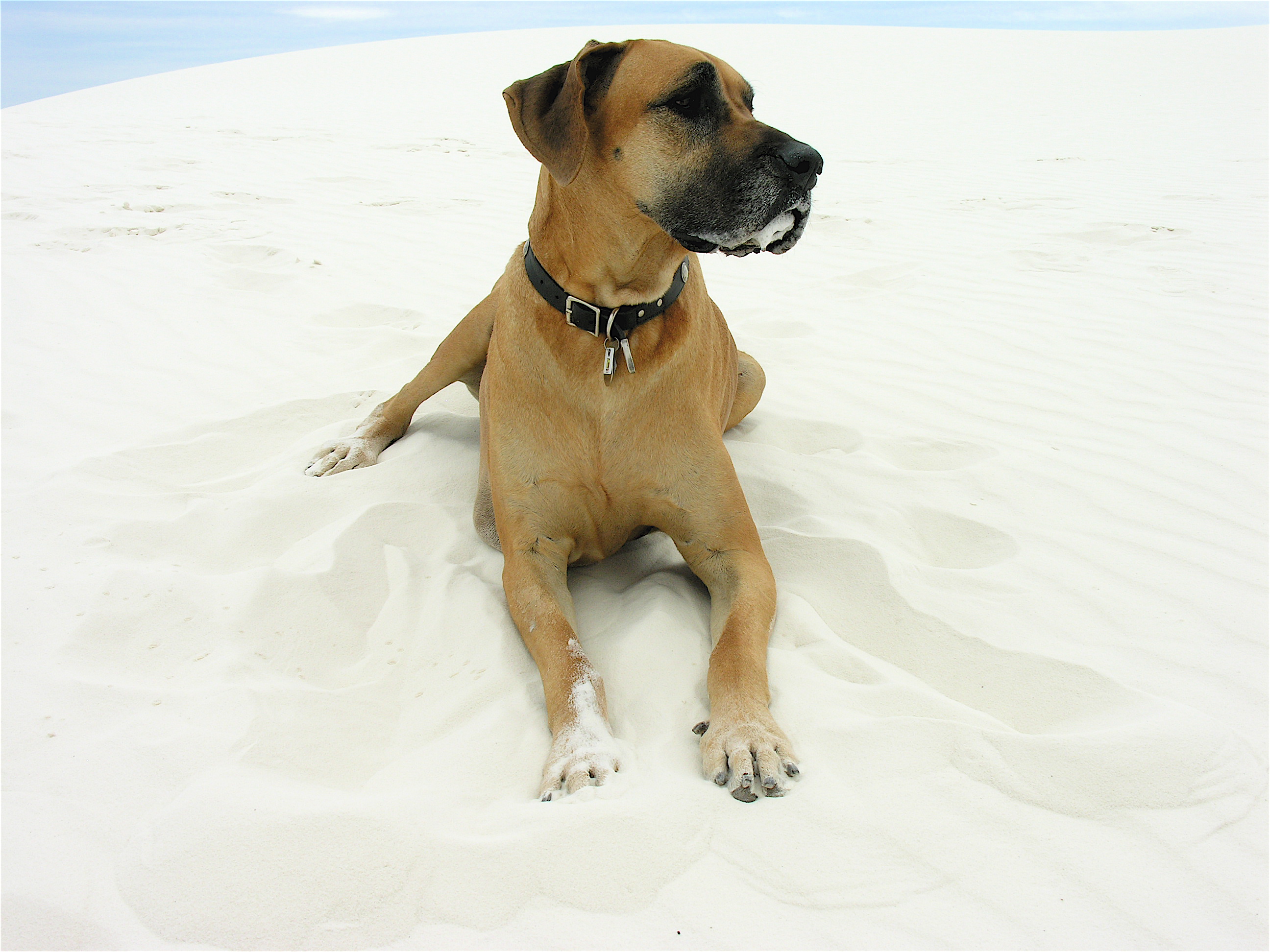
Dune Dog
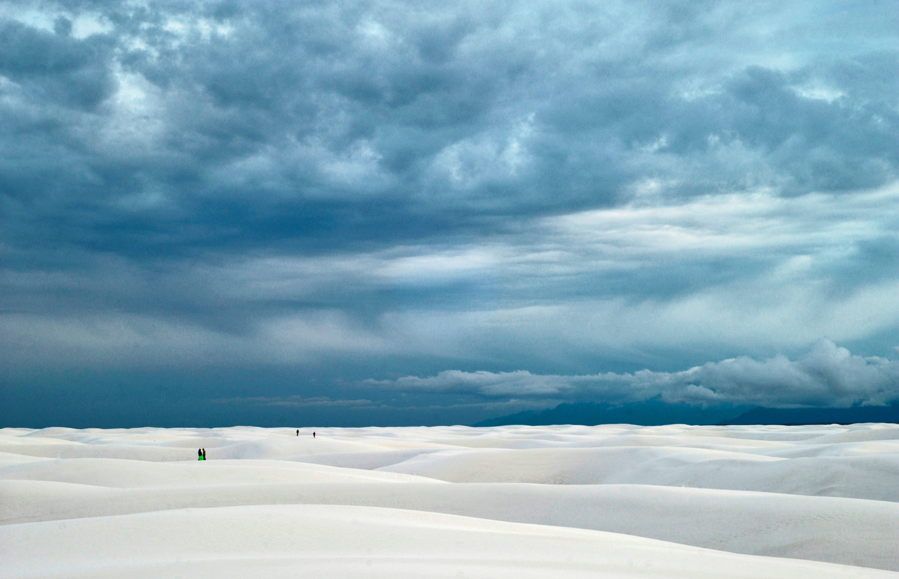
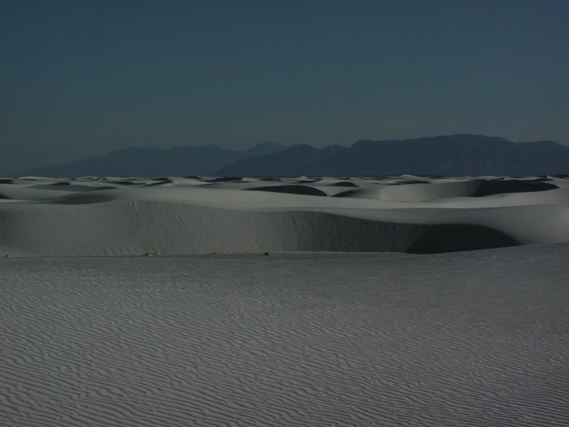
White Sands National Monument, New Mexico
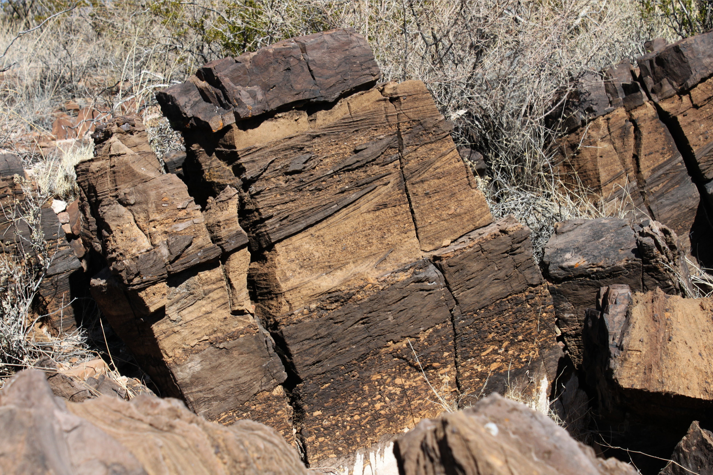
Just a Permian Rock
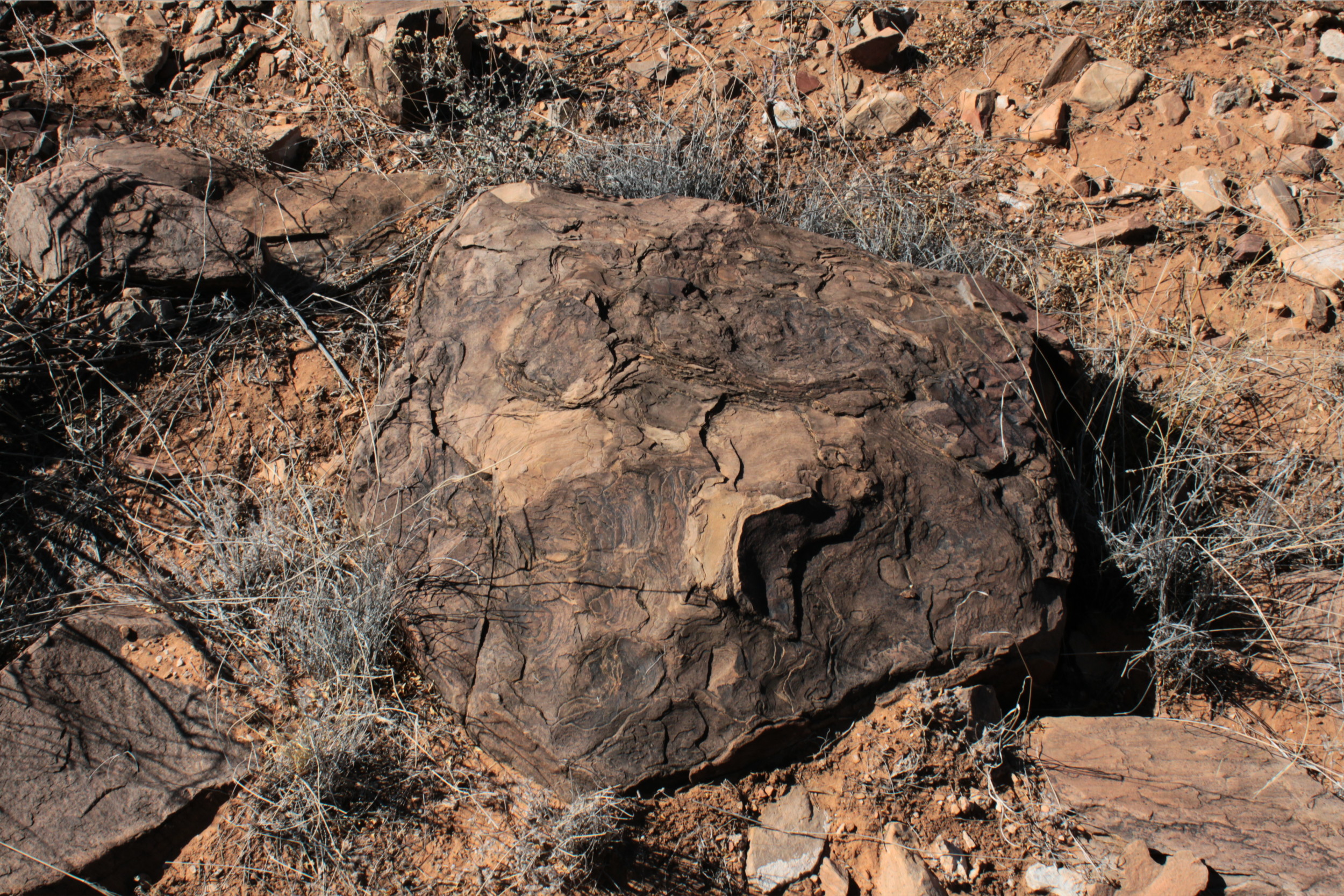
Just a Permian Rock
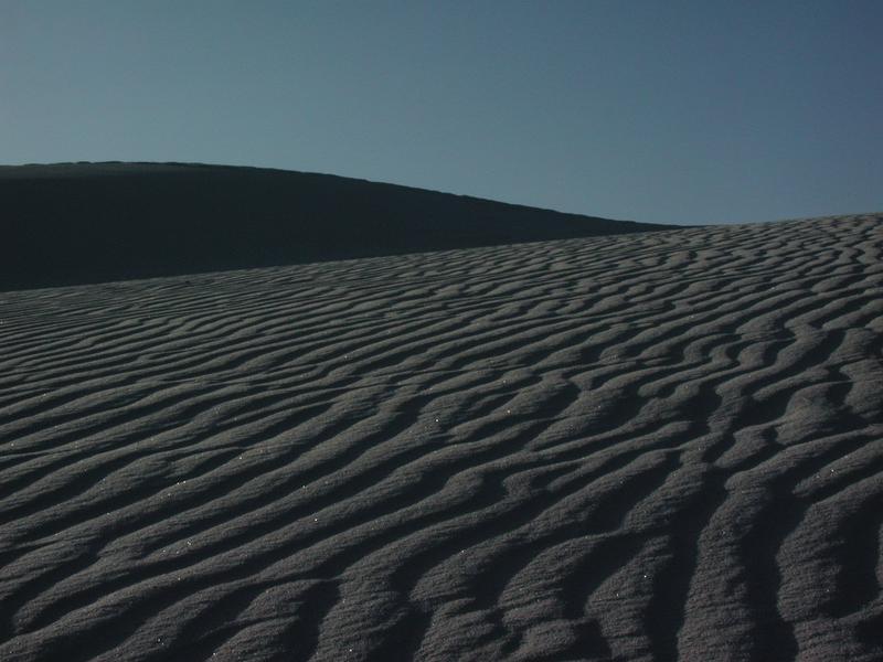
Rippled White Sands
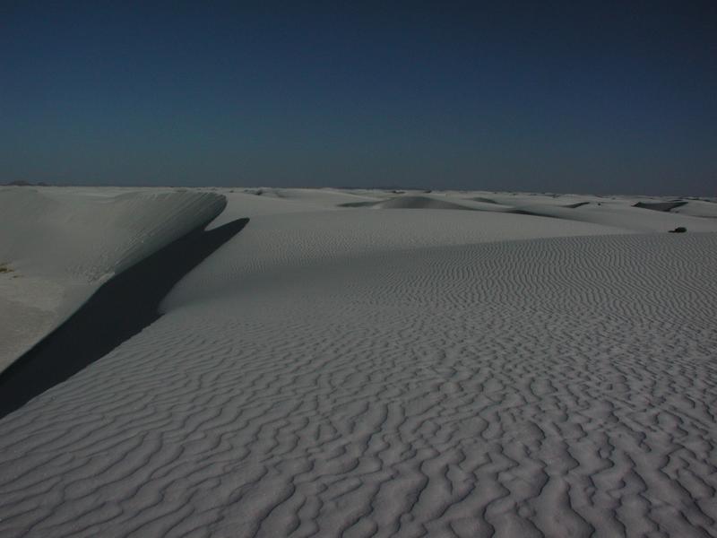
White Sands
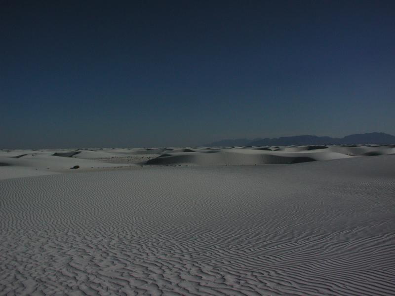
White Sands
P1010129.JPG

2006 186

2006 185

2006 174

2006 November outdoors

2006 179

2006 161

2006 159 Wet season
Topographic Map of San Andres Peak, New Mexico, USA
Find elevation by address:

Places near San Andres Peak, New Mexico, USA:
Black Brushy Mountain
Block Mountain
Gardner Peak
Bear Peak
Quartzite Mountain
Agricultural Research Services
Mineral Hill
14 Bushland Ave
White Sands National Monument
San Augustin Peak
2nd St, Organ, NM, USA
5685 Salina Rd
Doña Ana County
Las Cruces
Moongate Road
Aguirre Springs Road
6523 Brahman Rd
Chihuahuan Desert Nature Park
San Andres National Wildlife Refuge
Baylor Peak
Recent Searches:
- Elevation of Corso Fratelli Cairoli, 35, Macerata MC, Italy
- Elevation of Tallevast Rd, Sarasota, FL, USA
- Elevation of 4th St E, Sonoma, CA, USA
- Elevation of Black Hollow Rd, Pennsdale, PA, USA
- Elevation of Oakland Ave, Williamsport, PA, USA
- Elevation of Pedrógão Grande, Portugal
- Elevation of Klee Dr, Martinsburg, WV, USA
- Elevation of Via Roma, Pieranica CR, Italy
- Elevation of Tavkvetili Mountain, Georgia
- Elevation of Hartfords Bluff Cir, Mt Pleasant, SC, USA