Elevation of Big Pine Rd, Marshall, NC, USA
Location: United States > North Carolina > Madison County > 1, North Marshall > Marshall >
Longitude: -82.811184
Latitude: 35.790217
Elevation: 786m / 2579feet
Barometric Pressure: 92KPa
Elevation Map:
Satellite Map:
Related Photos:

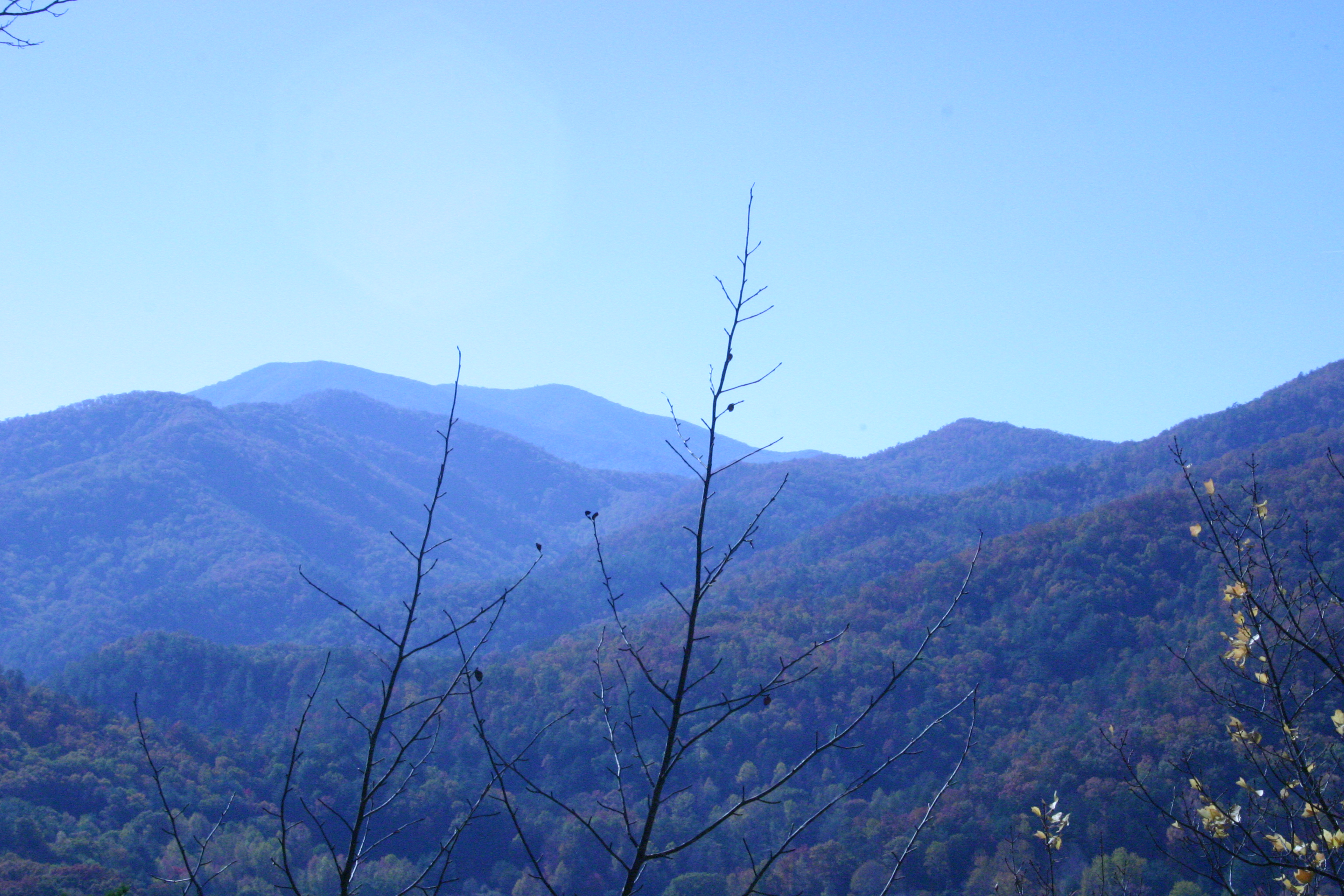
Max Patch, Ecclesiastes 3:11

Max Patch, Romans 1:20

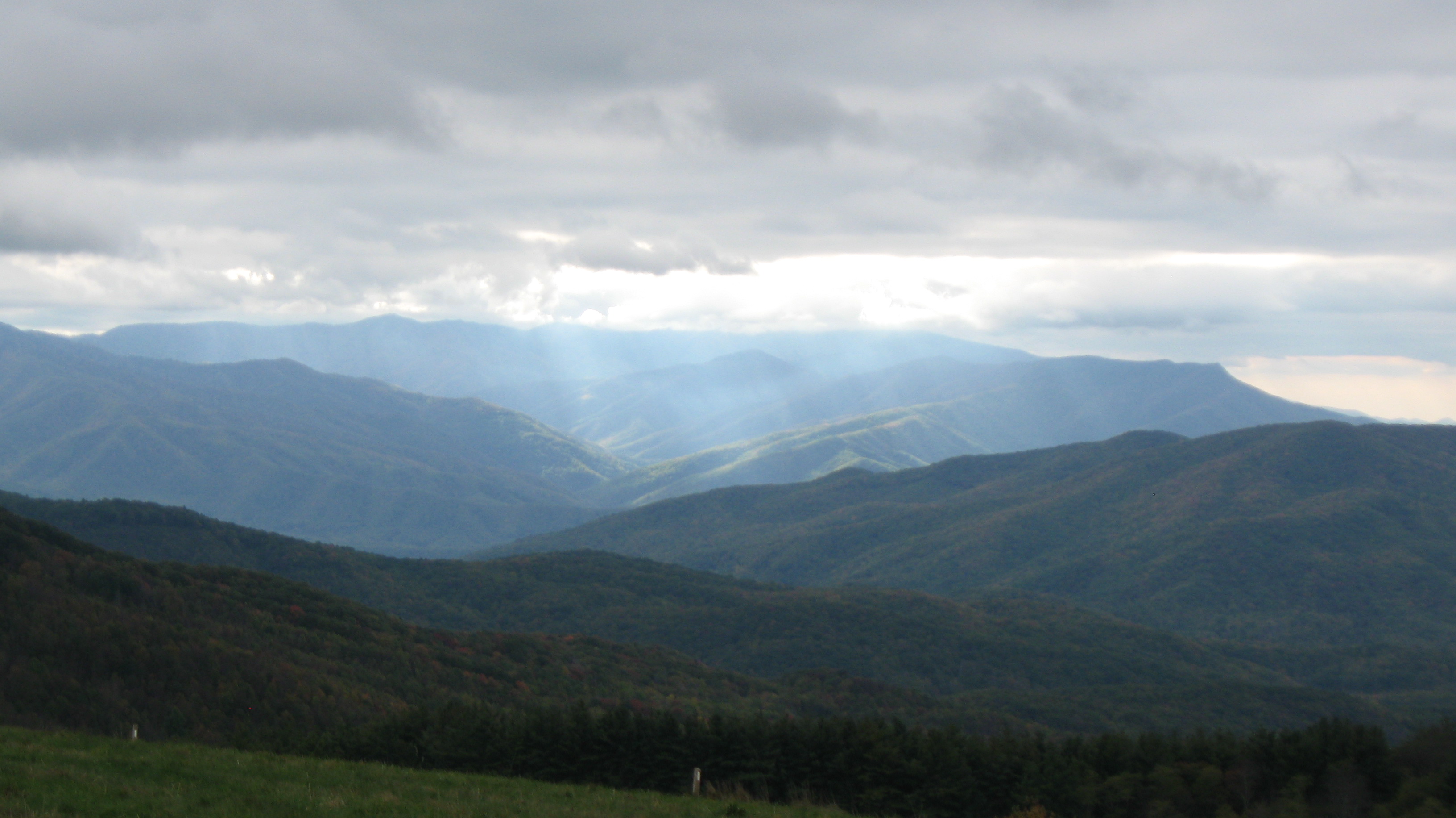
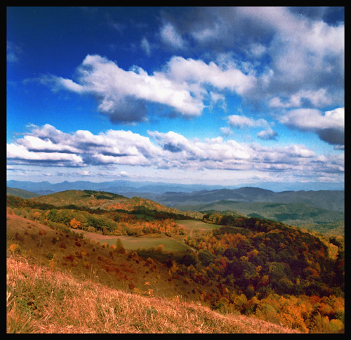
View From Max Patch

max patch

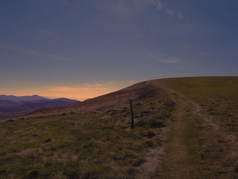
View from Max Patch, looking east
View from Sid's Veranda in Marshal NC.

View from Max Patch, looking east

Fall on Max Patch
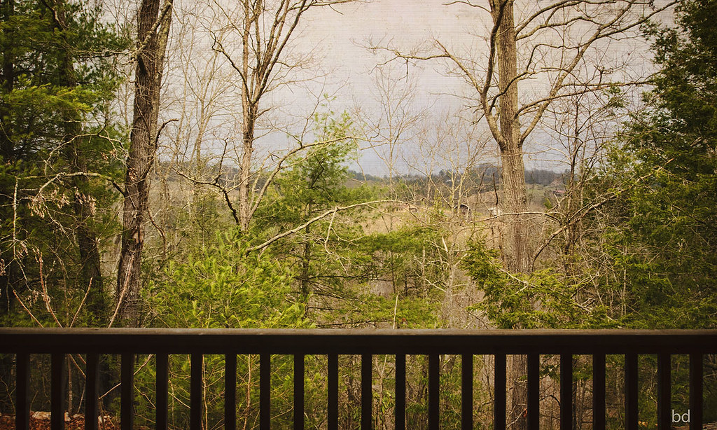
View from the back porch.

Early Morning

View from Max Patch

tracks & mountains
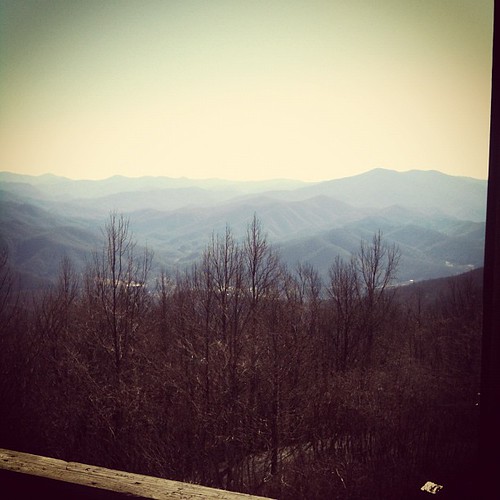
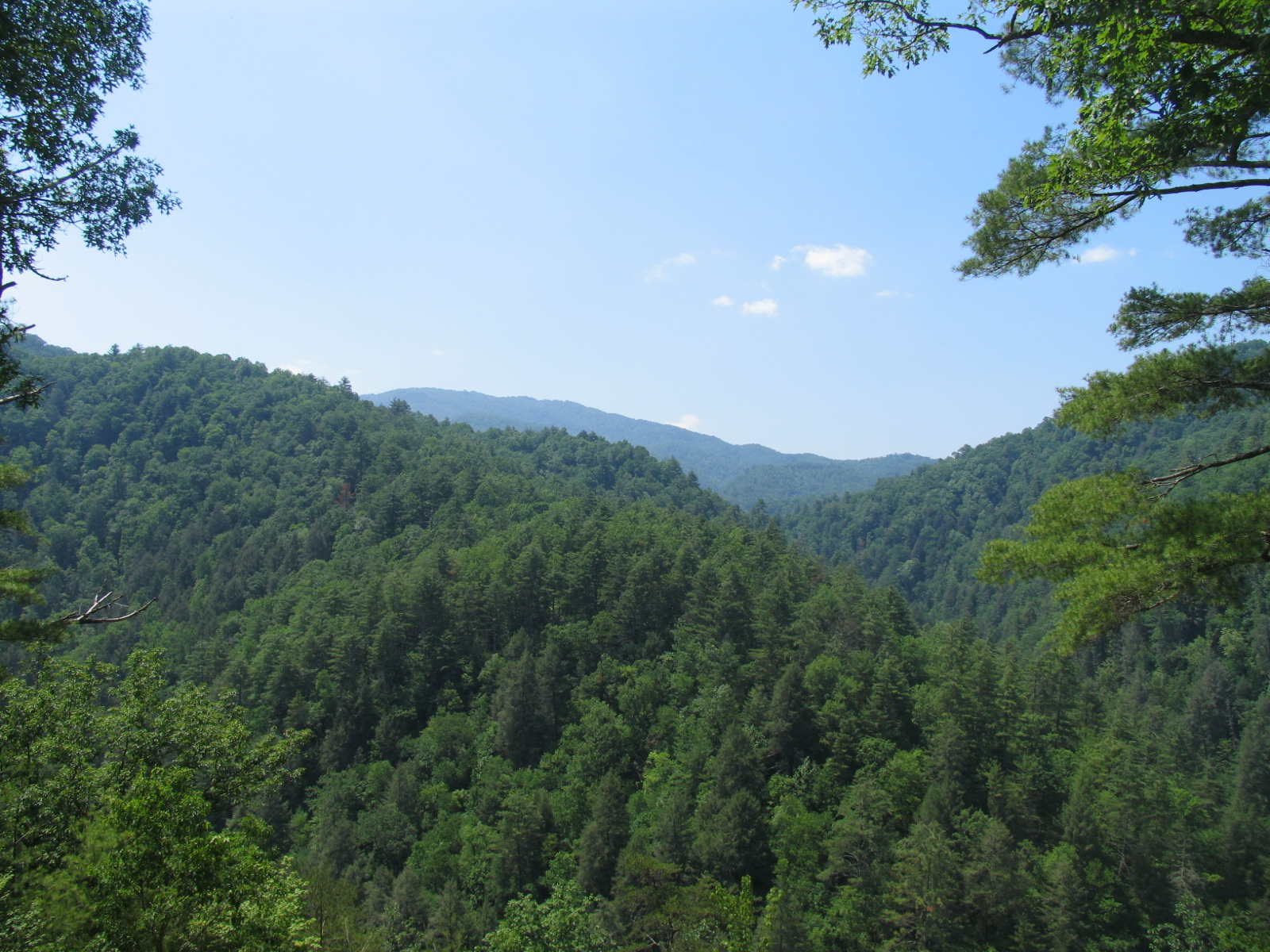
View from the Rich Mountain lookout tower
Gorgeous views.
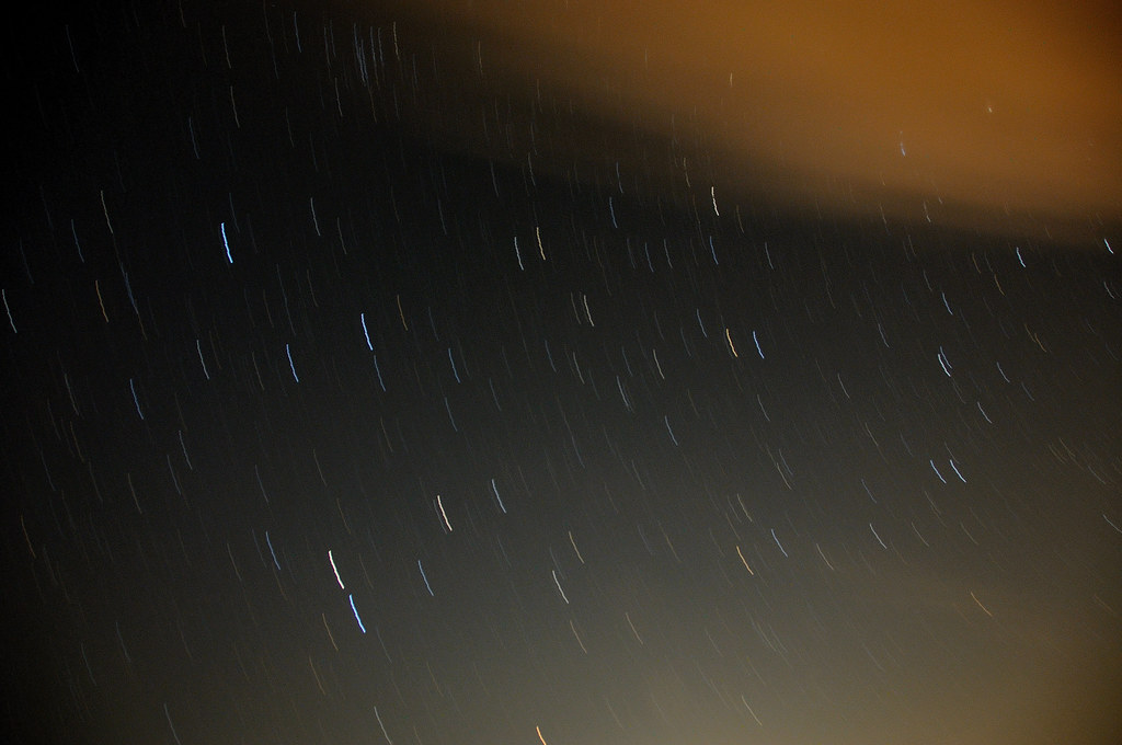
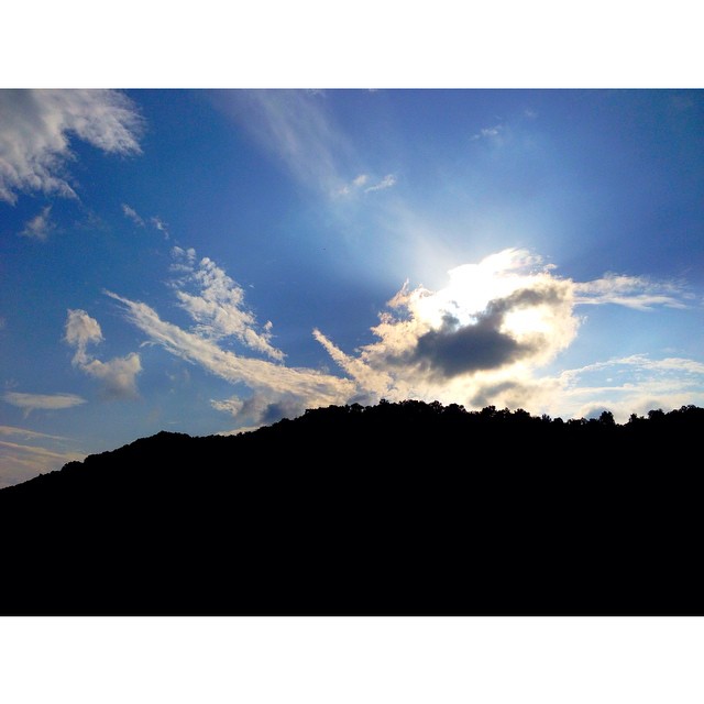
Clouds and Stars during a Lightning Storm

Max Patch, Isaiah 40:22
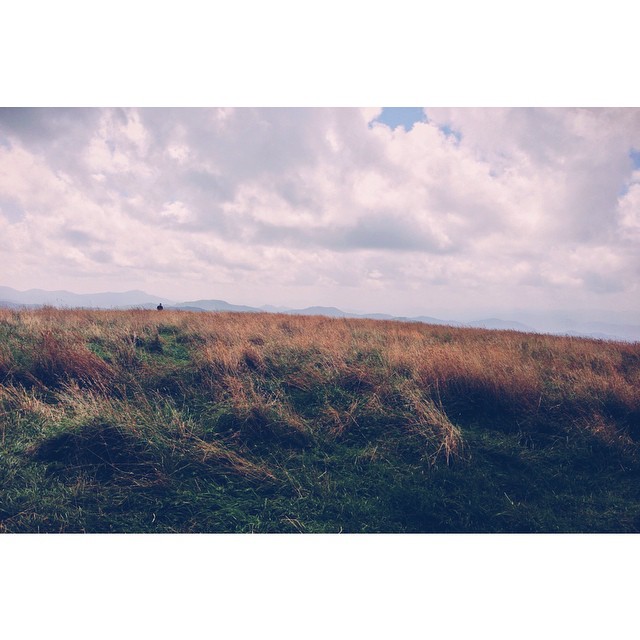
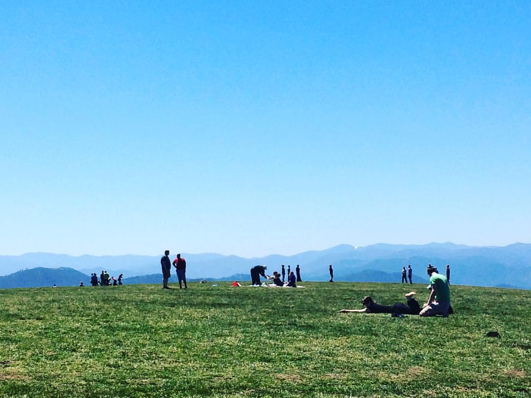
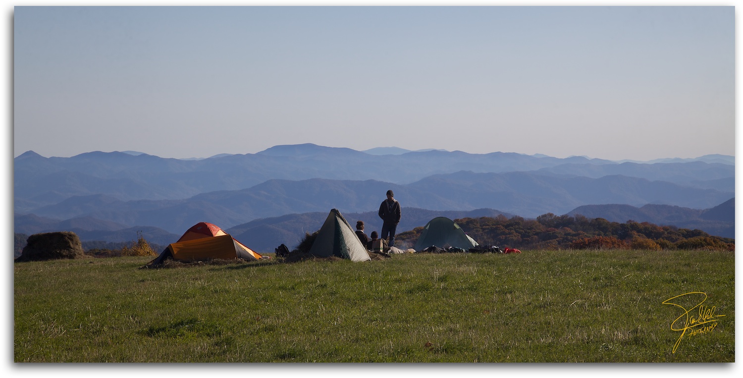
Hiked up to Max Patch for 360° of stunning views. #appalachiantrail #maxpatch #northcarolina
MAX PATCH BALD
NC 209 Scenic View
Room with a view
Max Patch - October 12, 2013-051
Photo Stream-682

Photo Stream-684
Hot Springs Oct 08 179

Hot Srings Oct 08 296
max patch
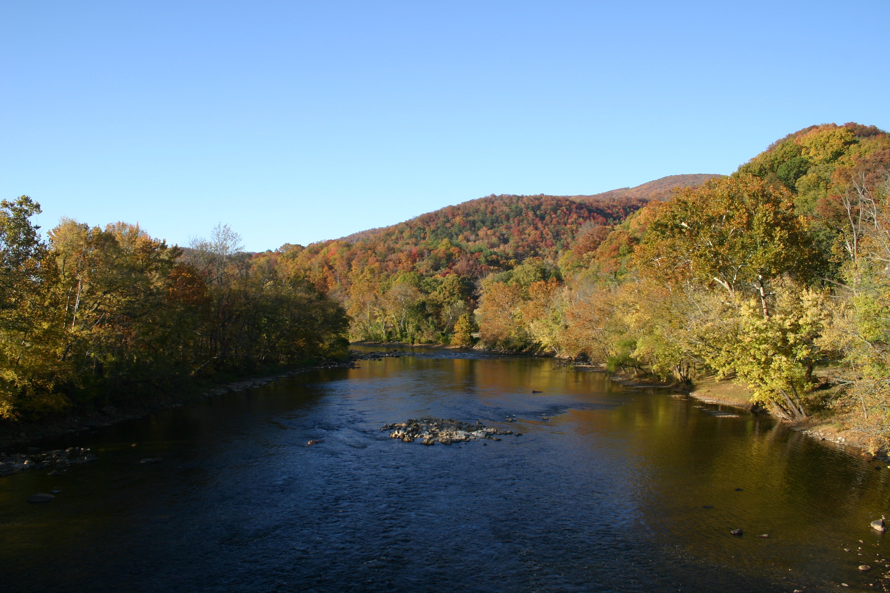
Hot Srings Oct 08 242
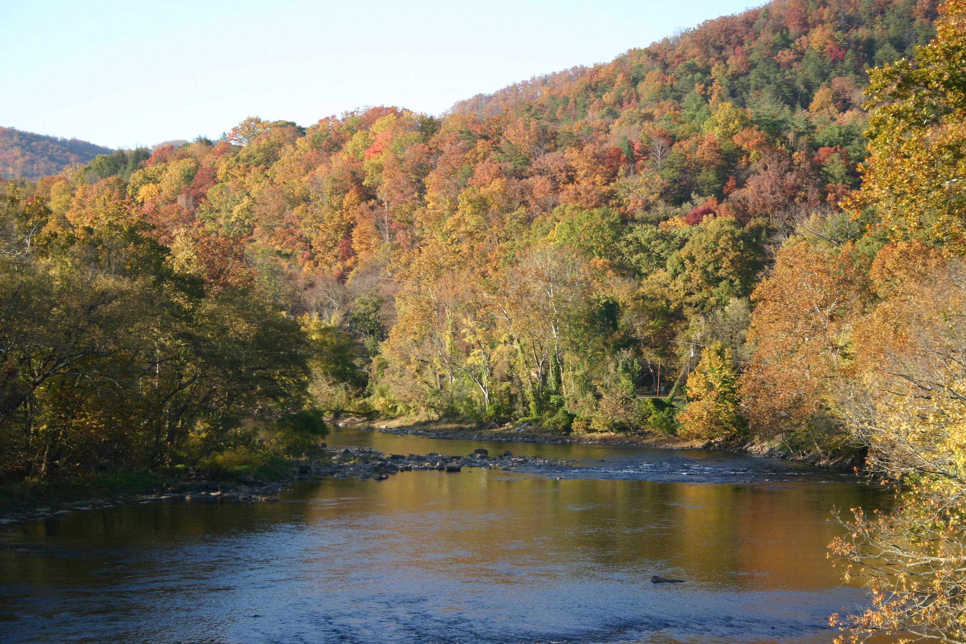
Hot Srings Oct 08 257
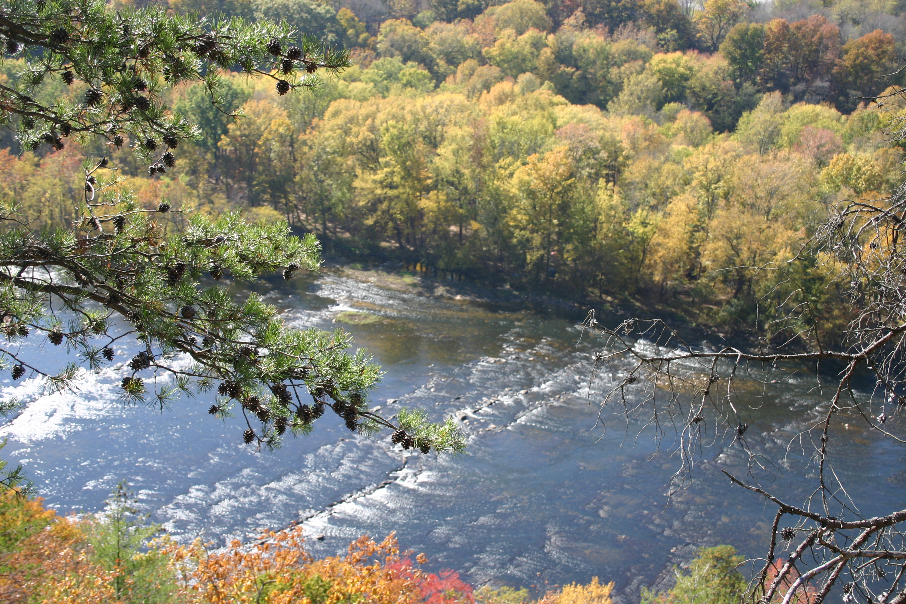
Hot Springs Oct 08 171
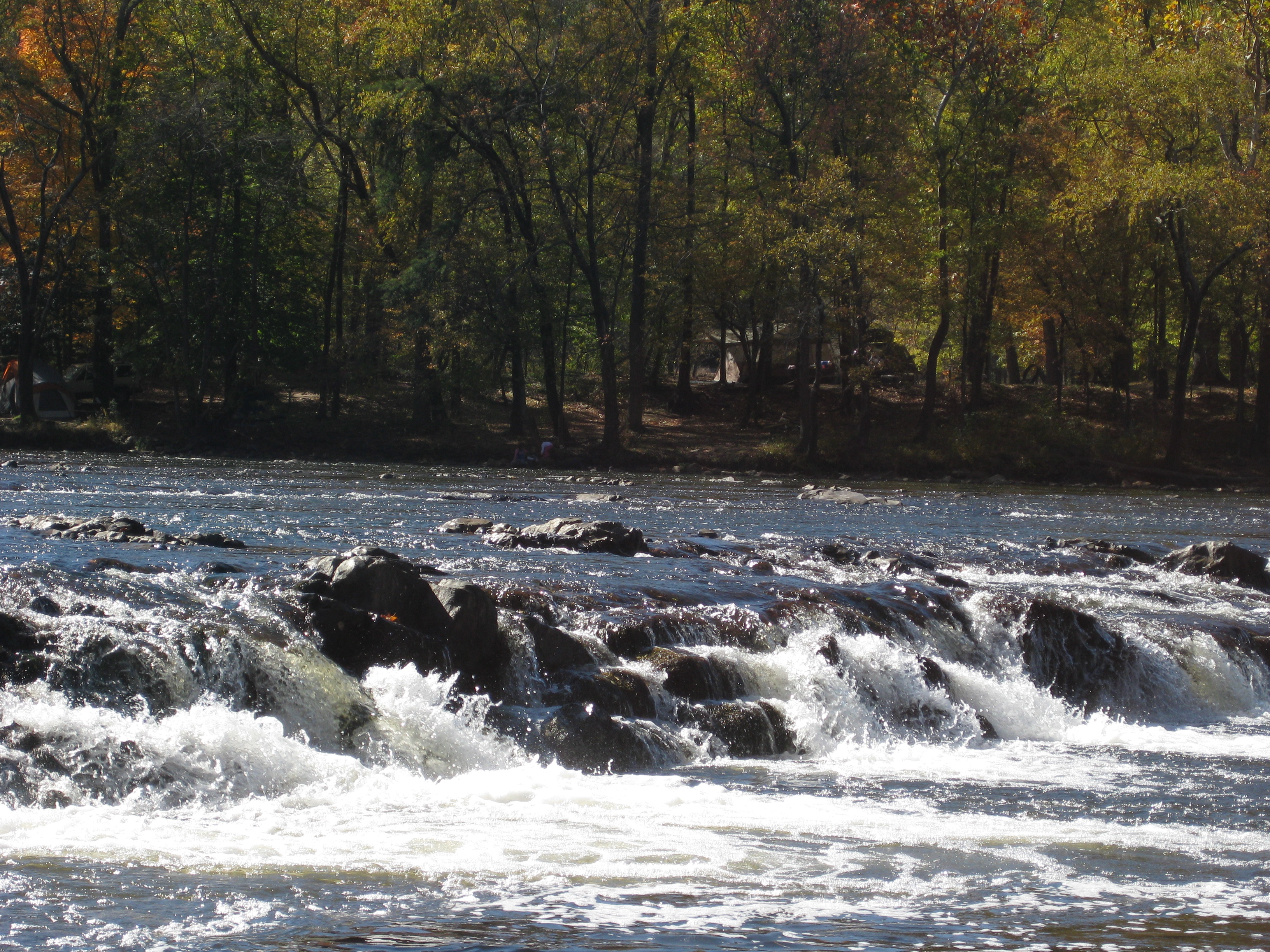
Hot Springs Oct 08 017
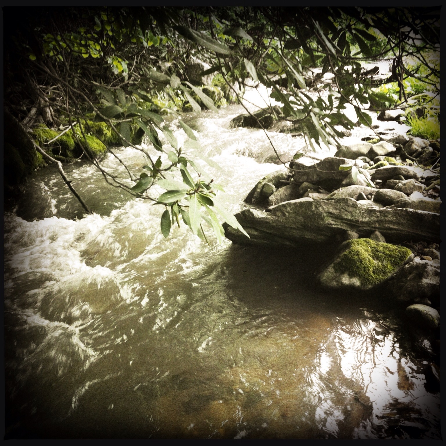
Photo Stream-693
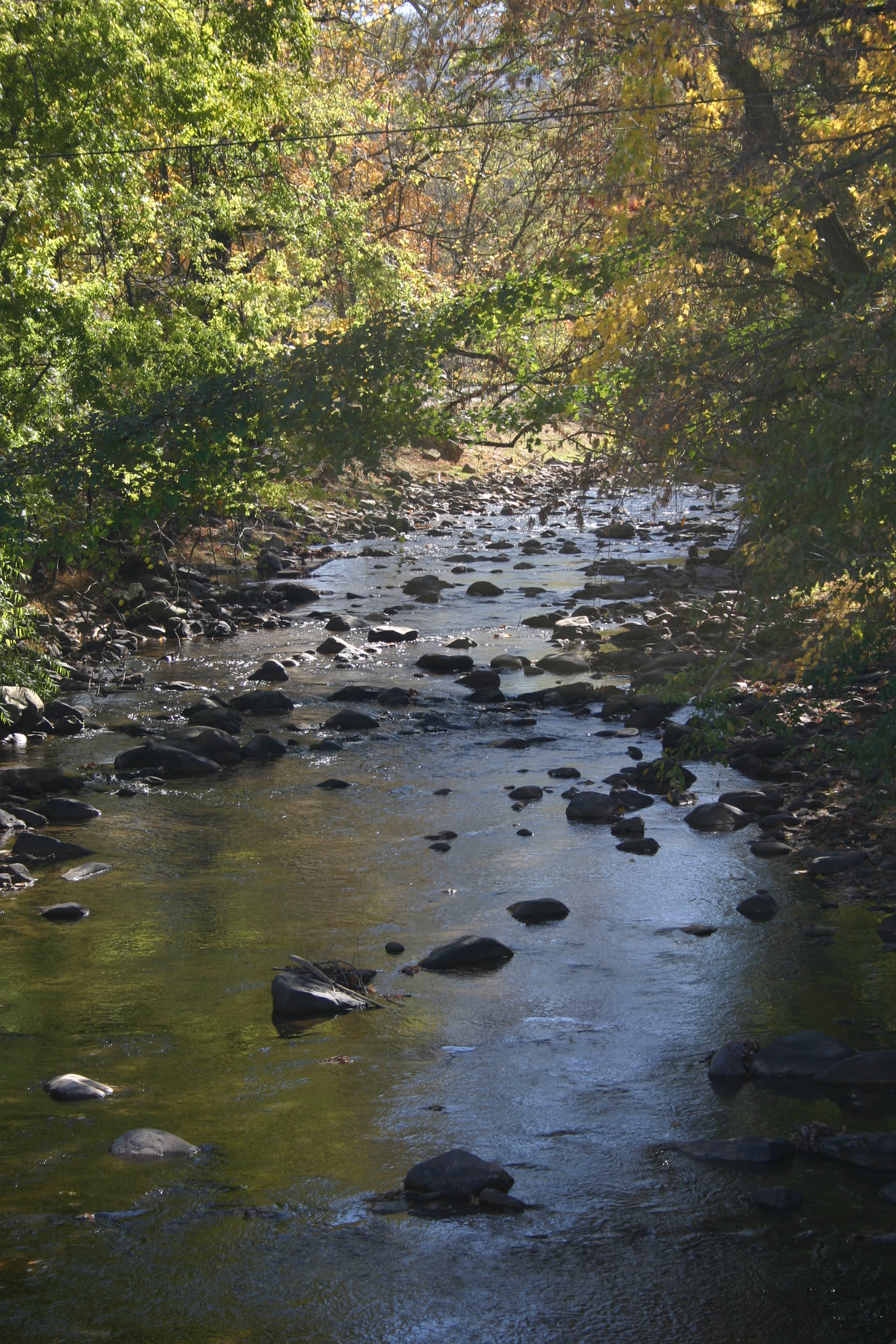
Hot Springs Oct 08 128
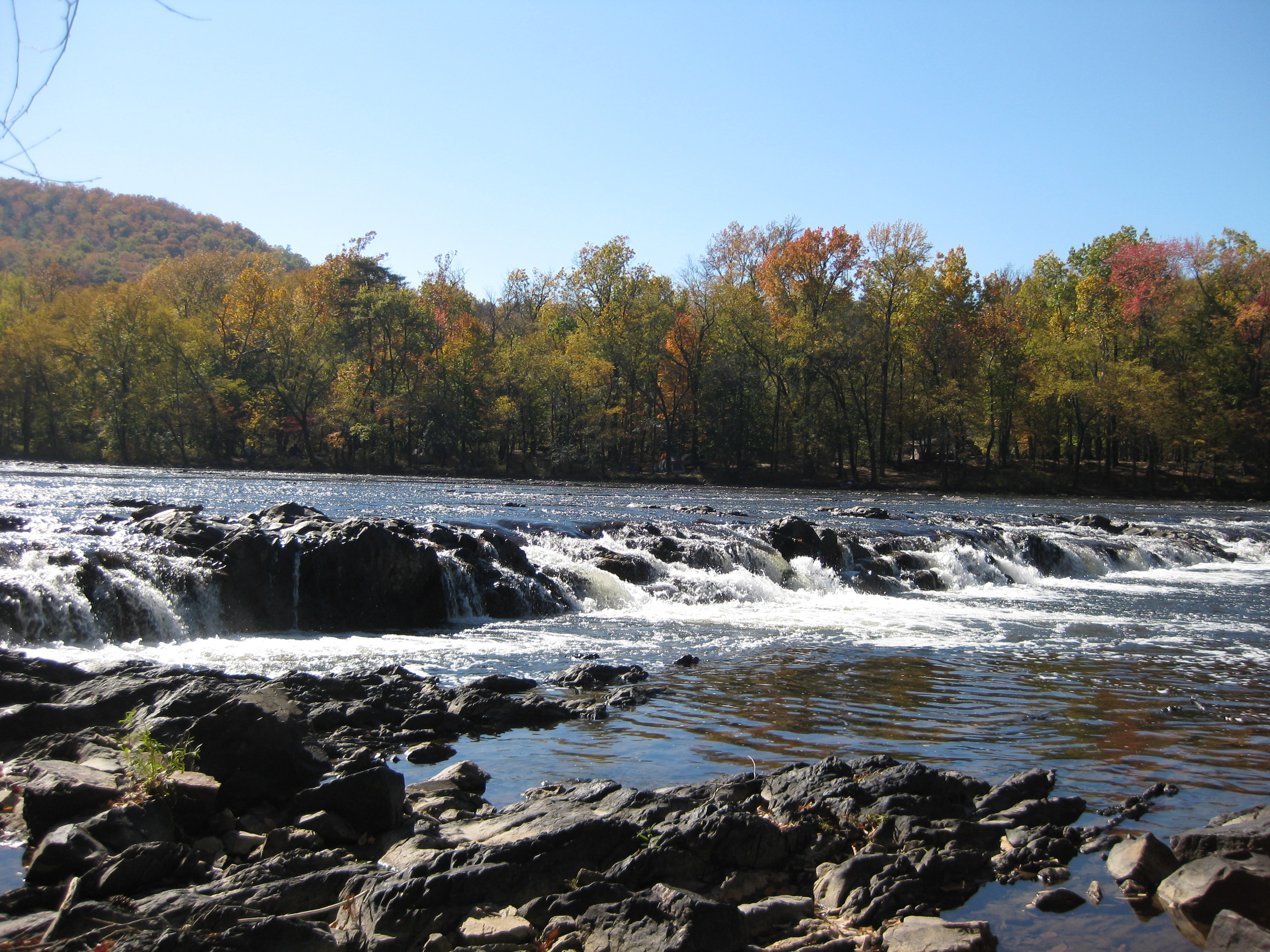
Hot Springs Oct 08 016
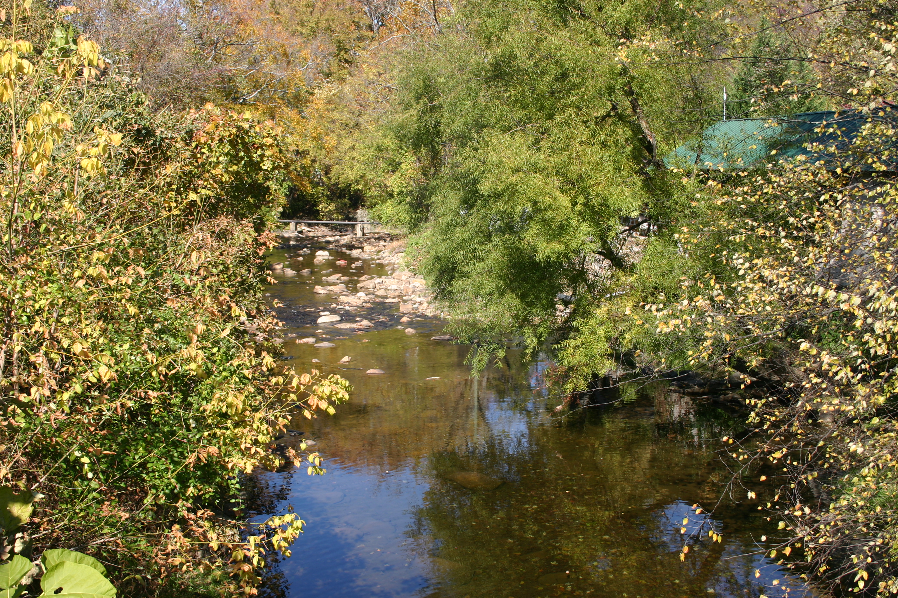
Hot Springs Oct 08 120
Hot Springs Oct 08 197
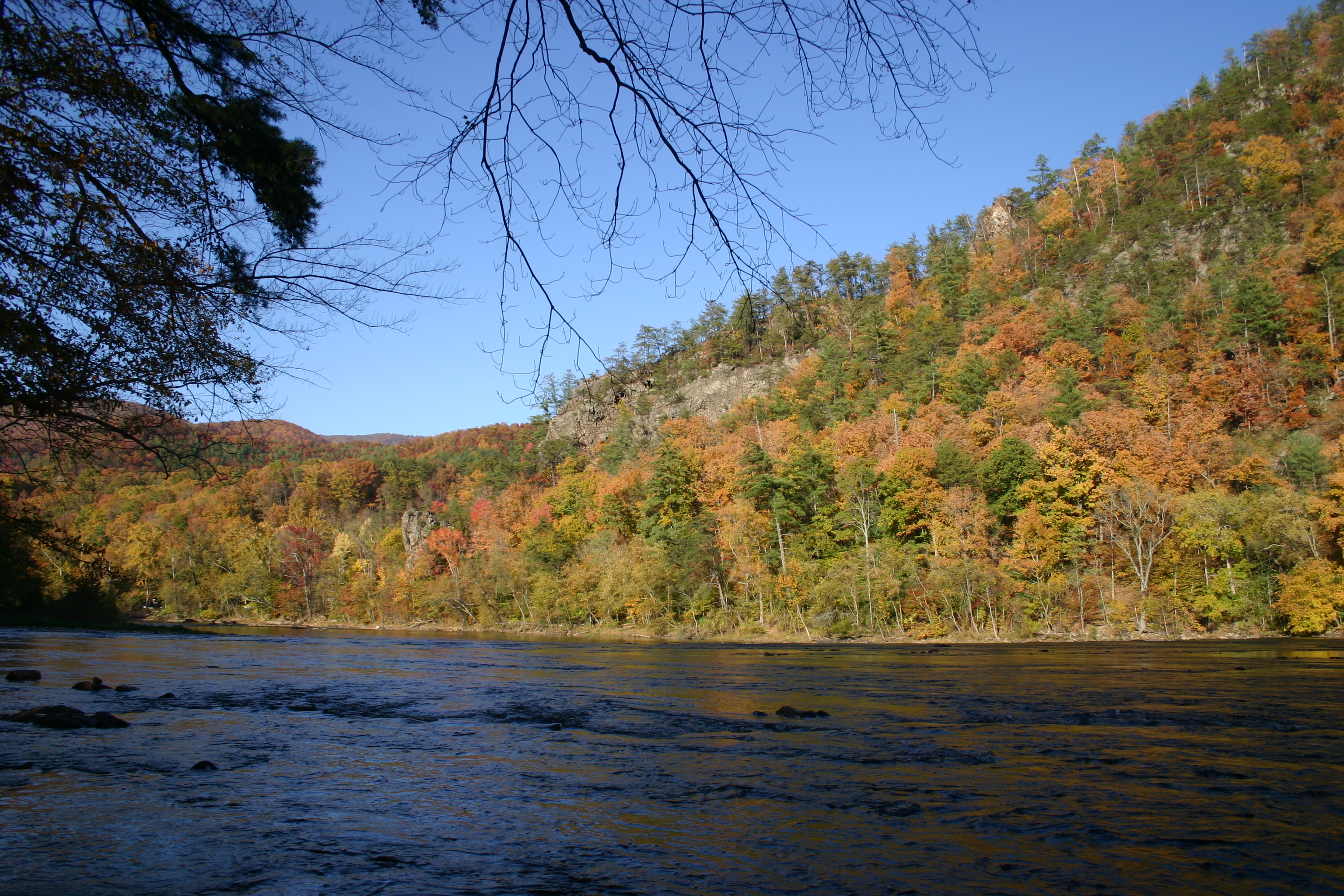
Hot Srings Oct 08 232
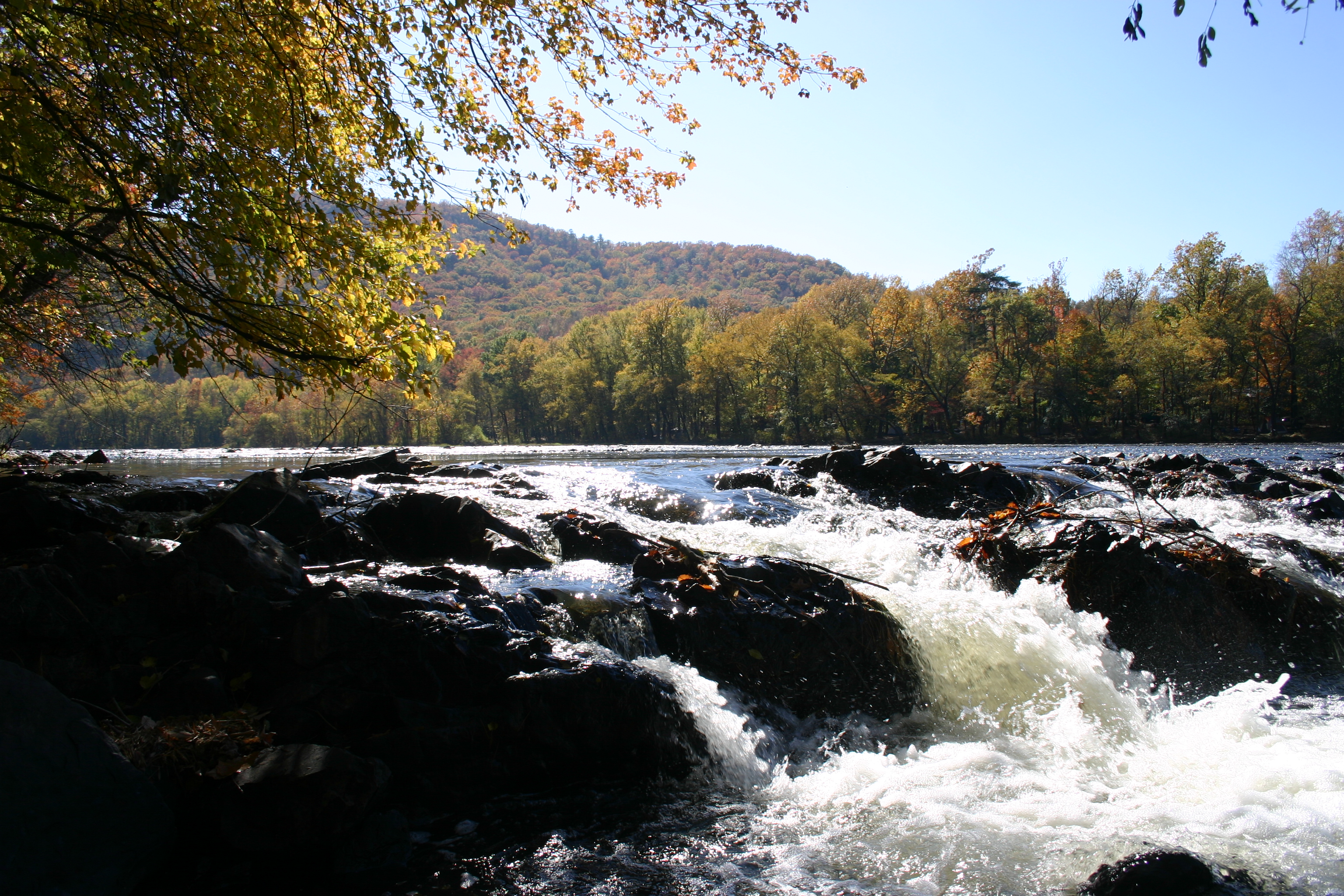
Hot Springs Oct 08 156
Hot Springs Oct 08 126
Hot Springs Oct 08 141
Hot Srings Oct 08 228
Hot Springs Oct 08 129
Topographic Map of Big Pine Rd, Marshall, NC, USA
Find elevation by address:

Places near Big Pine Rd, Marshall, NC, USA:
Big Pine
1258 Sugar Camp Rd
1011 S Fork Rd
700 Iris Crest Rd
2345 Sugar Camp Rd
1745 Sugar Camp Rd
3217 Baltimore Branch Rd
827 Bodah Mountain Rd
2685 West Rd
West Road
West Road
2100 Baltimore Branch Rd
1307 W Rd
2375 Anderson Cove Rd
5, Walnut
1390 Baltimore Branch Rd
Spring Creek
9779 Nc-209
175 Creekview Dr
212 Freedom Ln
Recent Searches:
- Elevation of 24 Oakland Rd #, Scotland, ON N0E 1R0, Canada
- Elevation of Deep Gap Farm Rd E, Mill Spring, NC, USA
- Elevation of Dog Leg Dr, Minden, NV, USA
- Elevation of Dog Leg Dr, Minden, NV, USA
- Elevation of Kambingan Sa Pansol Atbp., Purok 7 Pansol, Candaba, Pampanga, Philippines
- Elevation of Pinewood Dr, New Bern, NC, USA
- Elevation of Mountain View, CA, USA
- Elevation of Foligno, Province of Perugia, Italy
- Elevation of Blauwestad, Netherlands
- Elevation of Bella Terra Blvd, Estero, FL, USA