Elevation of Creekview Dr, Hot Springs, NC, USA
Location: United States > North Carolina > Madison County > 8, Spring Creek >
Longitude: -82.850936
Latitude: 35.813364
Elevation: 673m / 2208feet
Barometric Pressure: 93KPa
Elevation Map:
Satellite Map:
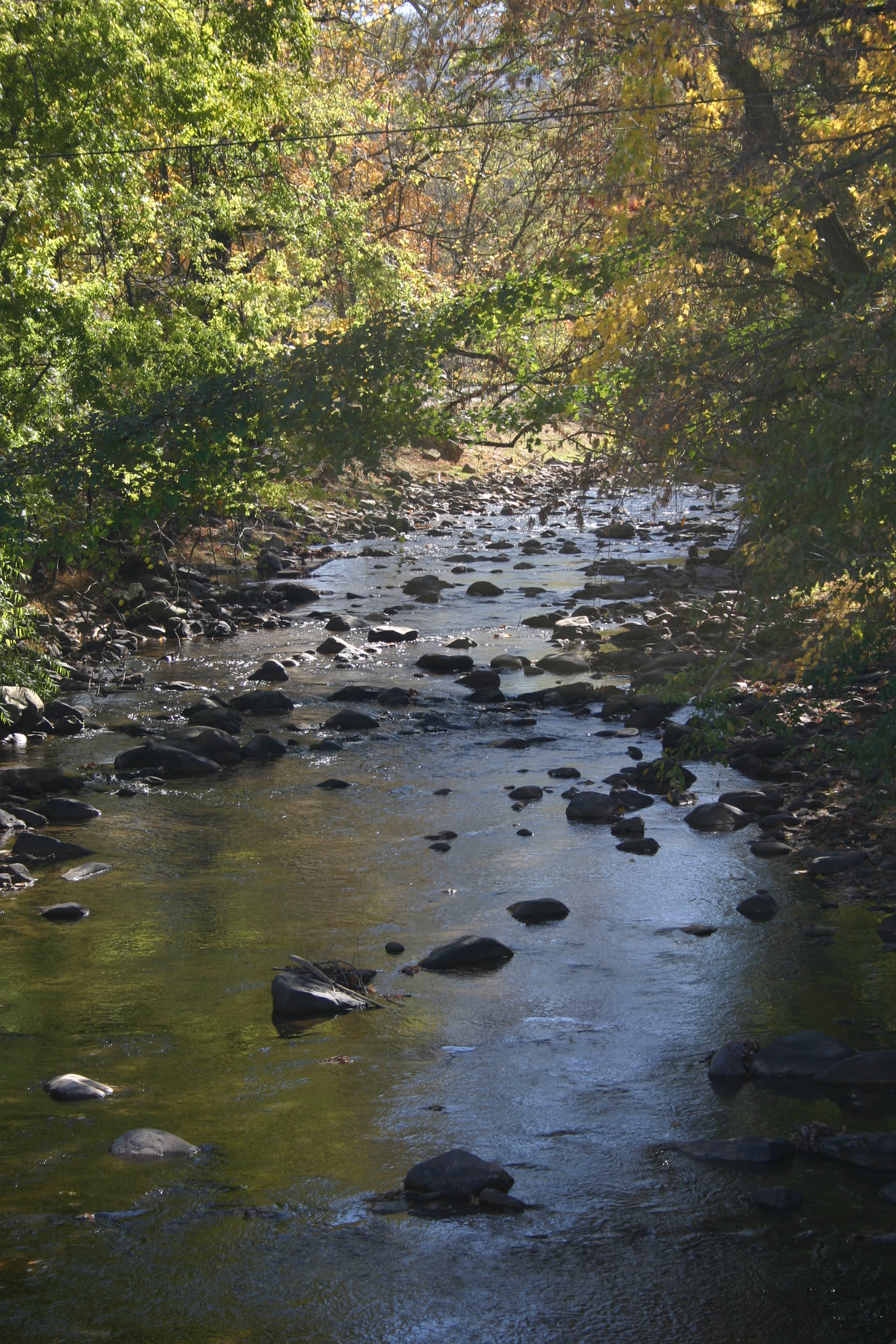
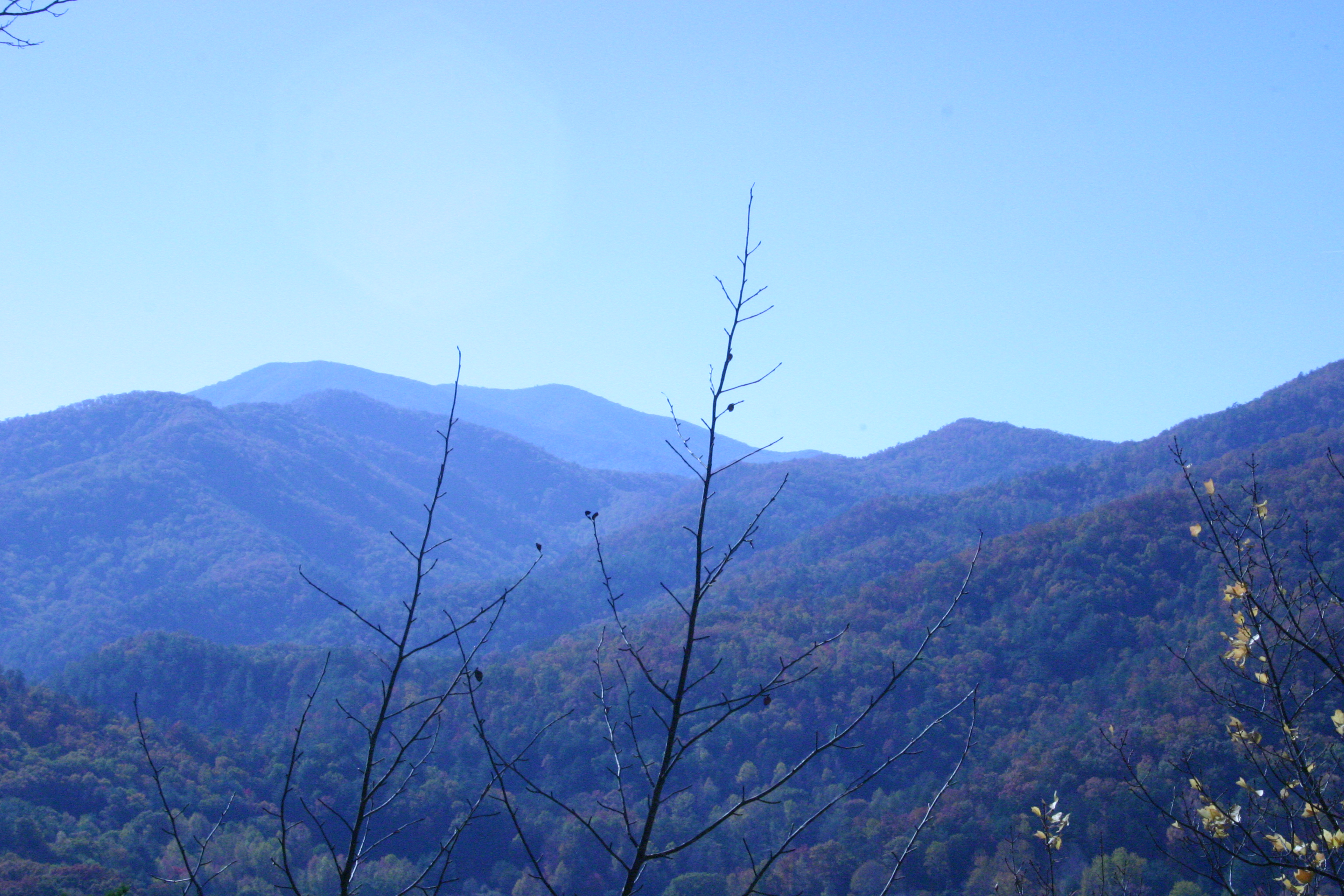
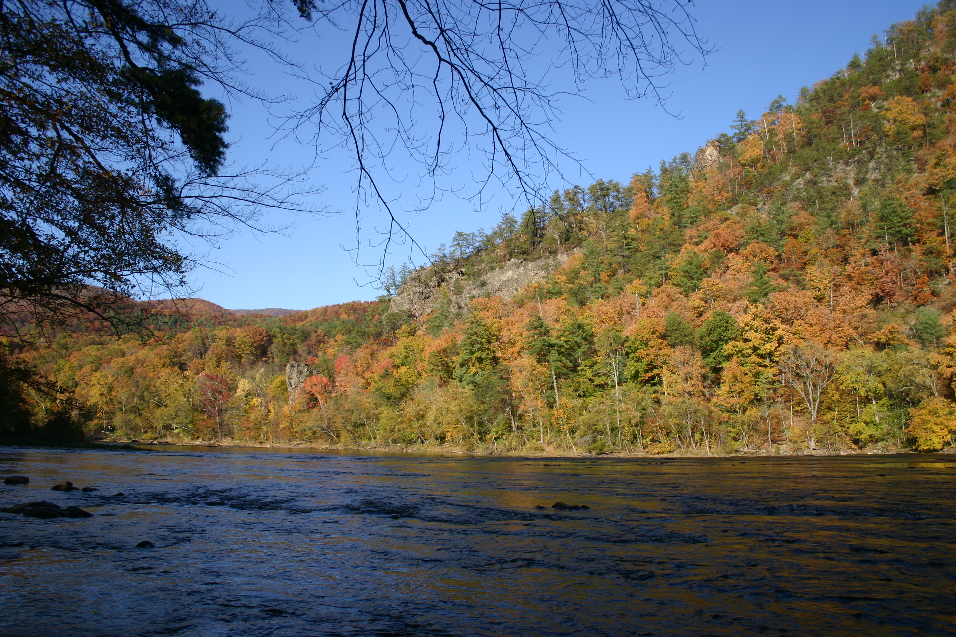
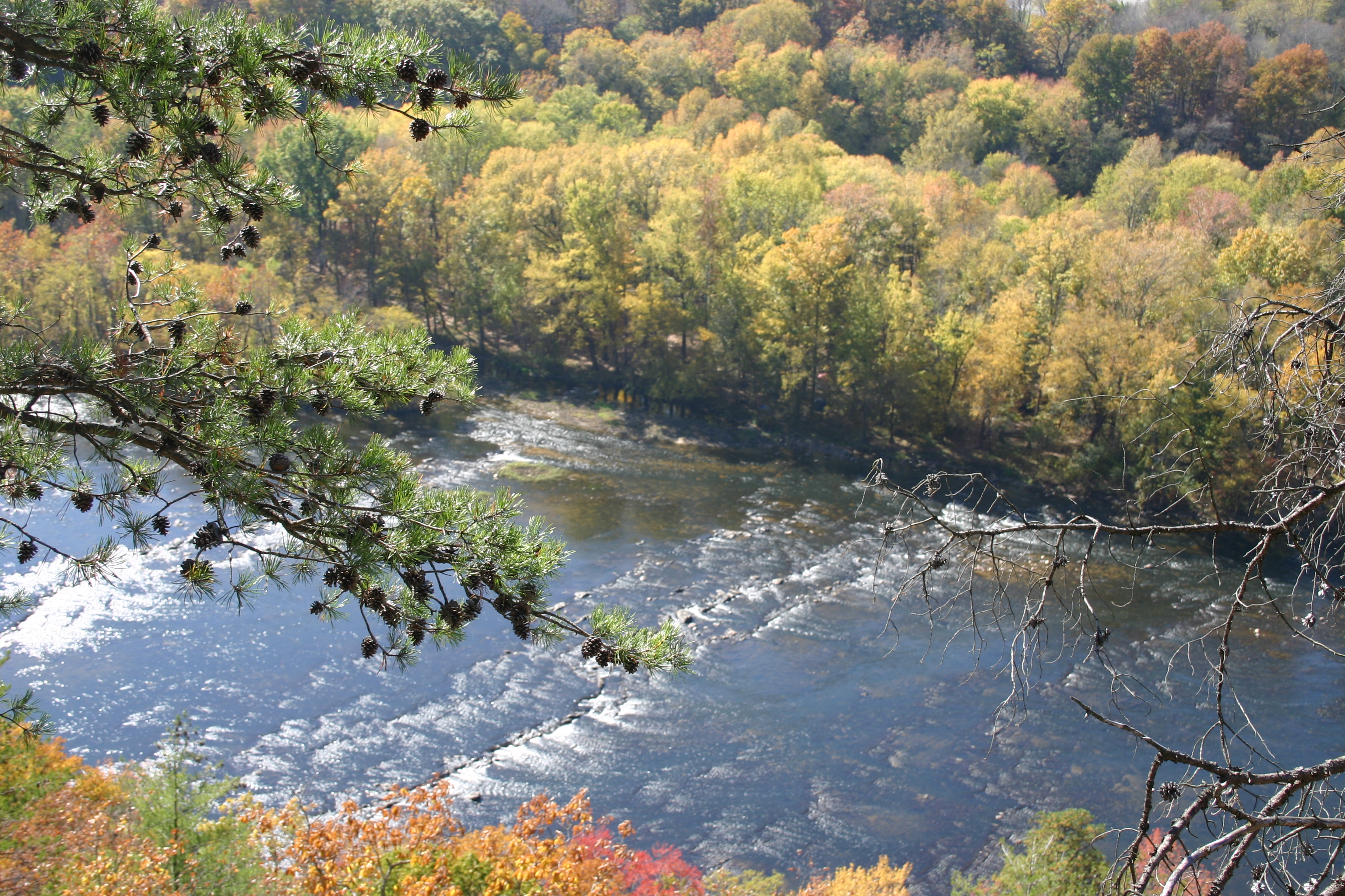
Related Photos:

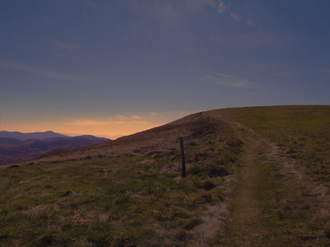
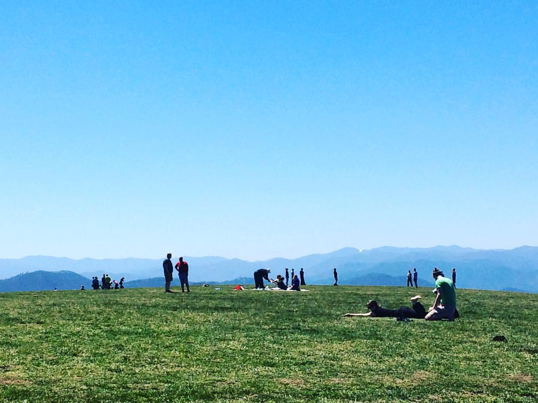
View From Max Patch

Max Patch, Ecclesiastes 3:11

max patch

tracks & mountains

Max Patch - October 12, 2013-052
MAX PATCH BALD
NC 209 Scenic View
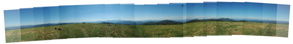
Max Patch Pano

Max Patch, Romans 1:20

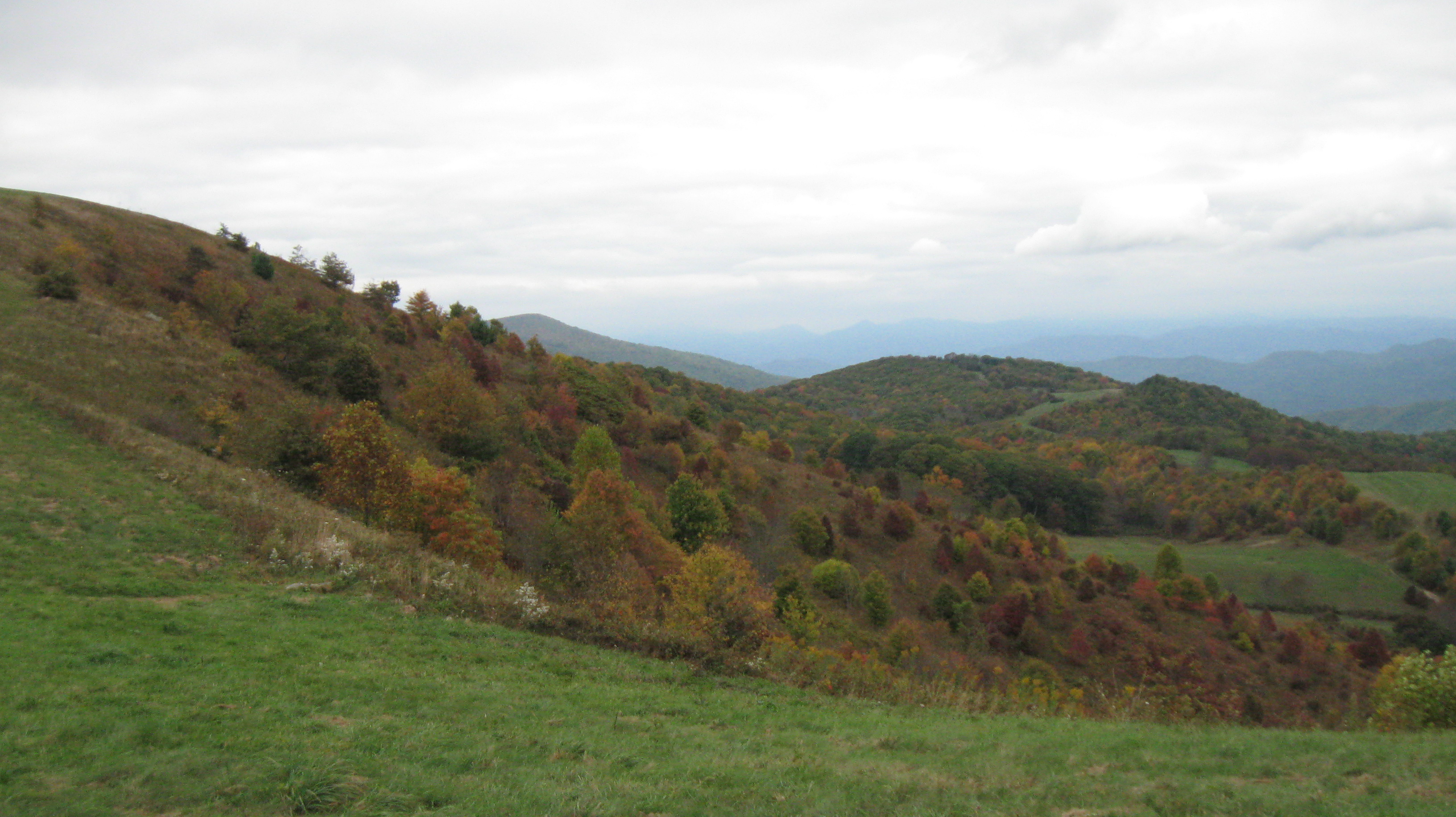
Fall on Max Patch

View from Max Patch

Rainbows over Max Patch

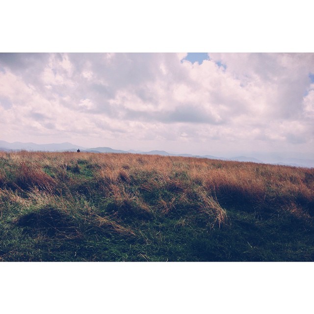
View from Max Patch, looking east
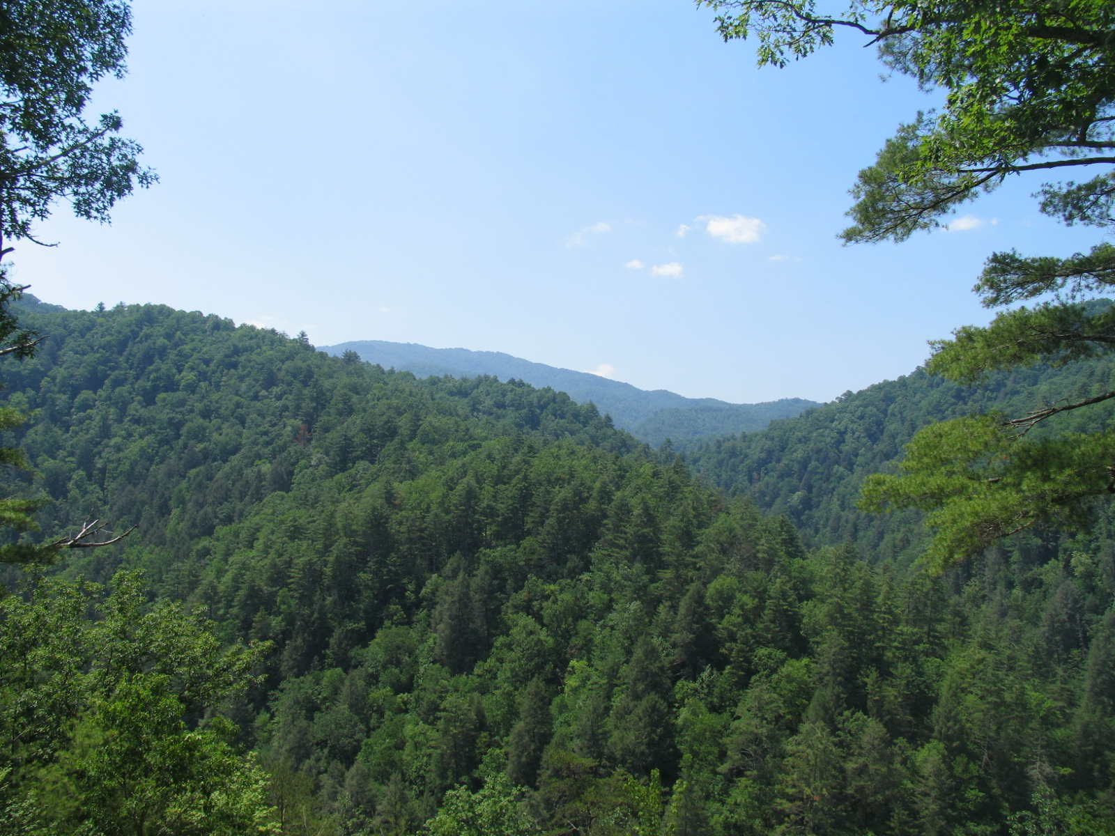
View from the Rich Mountain lookout tower

View from Max Patch, looking east

This weekend, @thelandmarkproject organized a great group of folks up to Max Patch. We shared stories and smores and great views.
Gorgeous views.
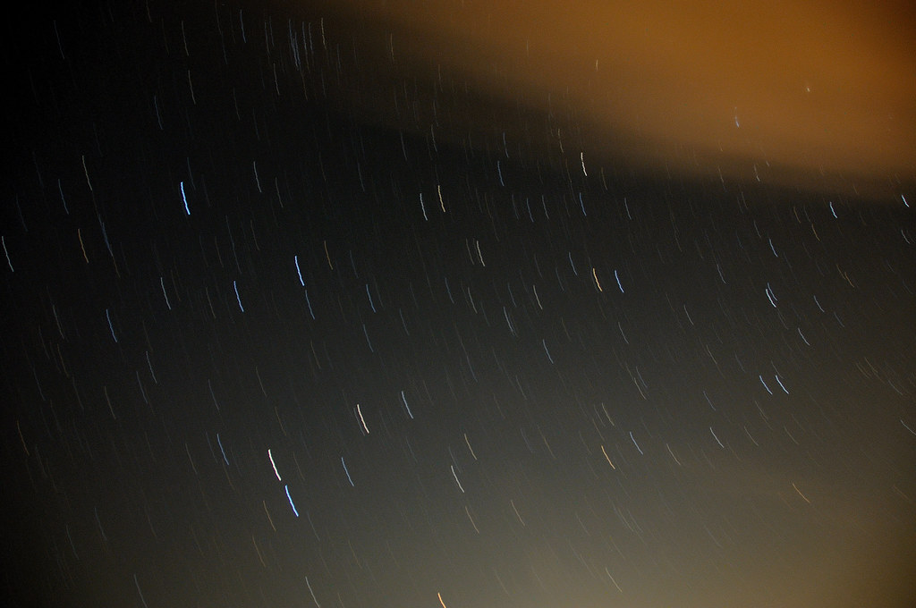
Clouds and Stars during a Lightning Storm

Max Patch, Isaiah 40:22
Max Patch - October 12, 2013-026
Hiked up to Max Patch for 360° of stunning views. #appalachiantrail #maxpatch #northcarolina
Photo Stream-682

Photo Stream-684

Hot Srings Oct 08 296
Hot Srings Oct 08 242
Hot Srings Oct 08 240
Misty Mountains #iphoneography #landscape #mountains #northcarolina #mist
Hot Srings Oct 08 257
Hot Srings Oct 08 236
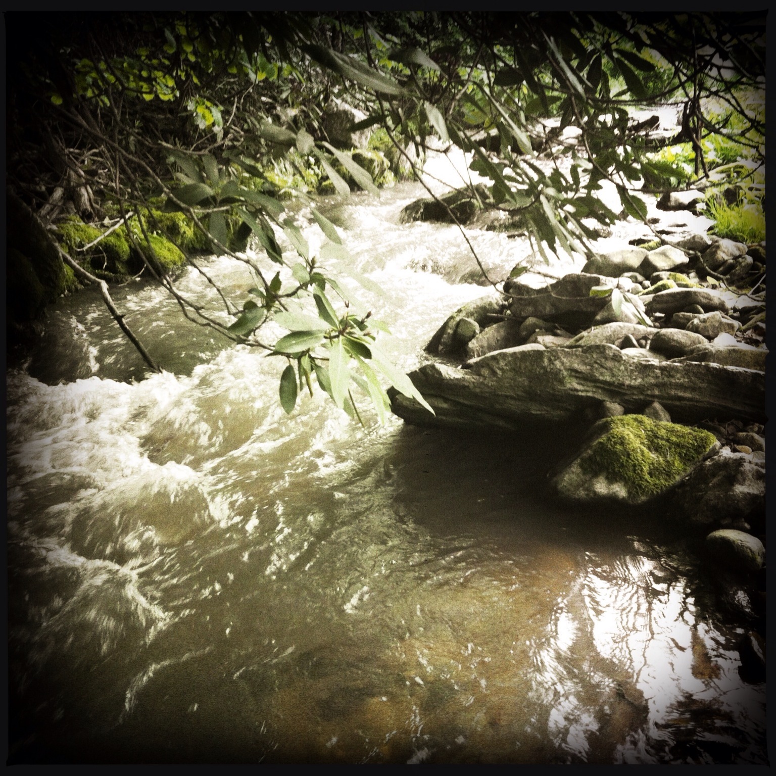
Photo Stream-693
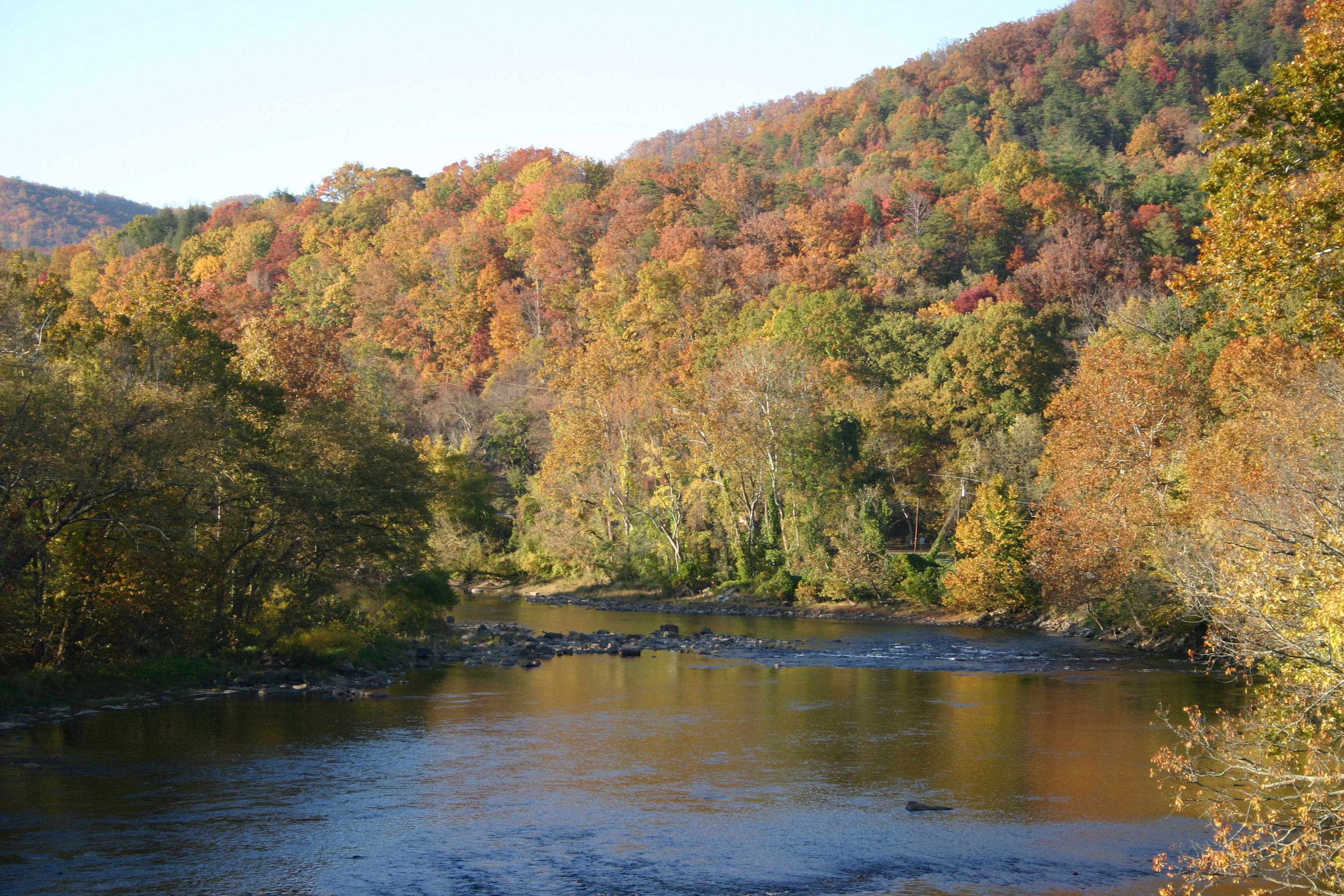
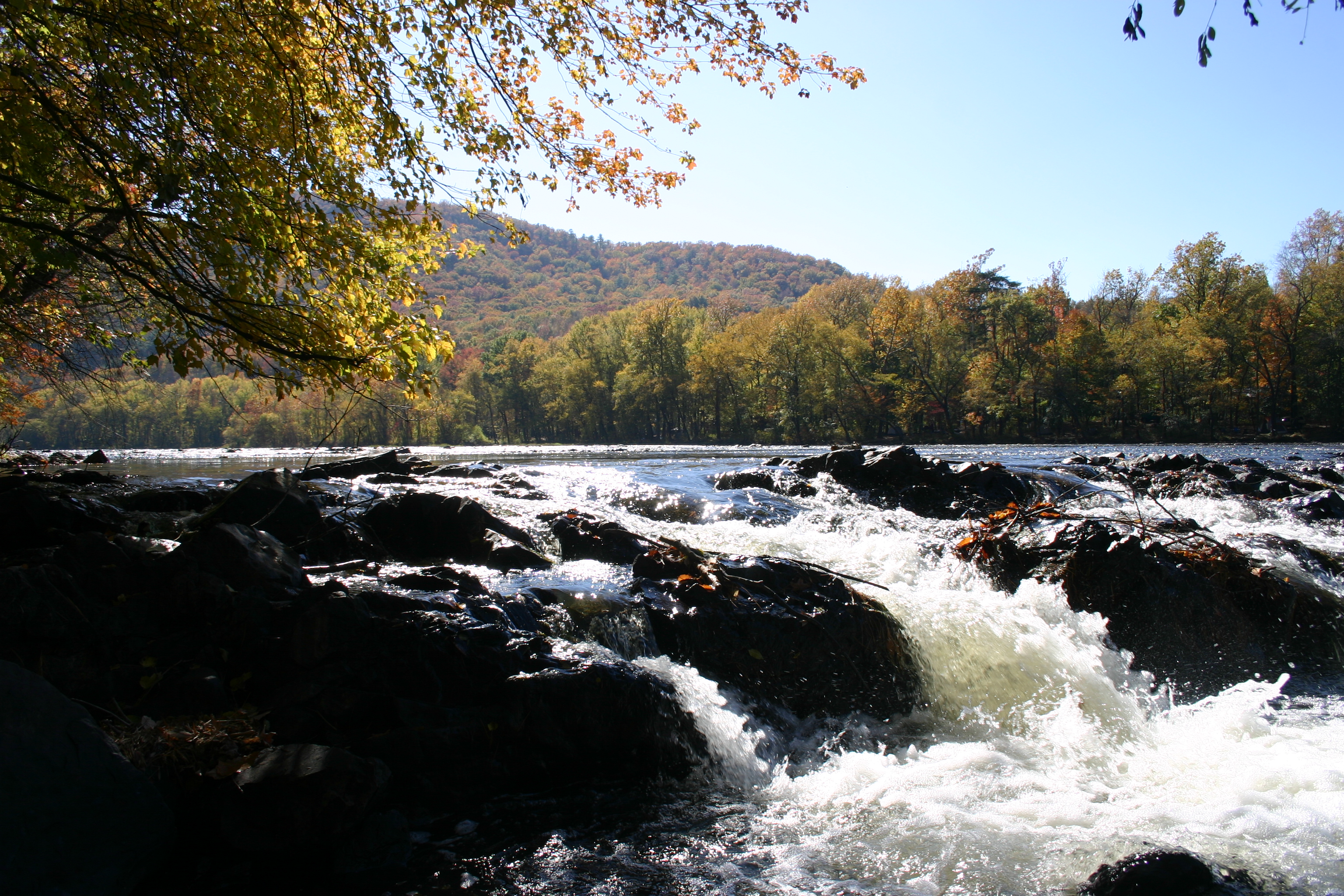
Hot Springs Oct 08 179
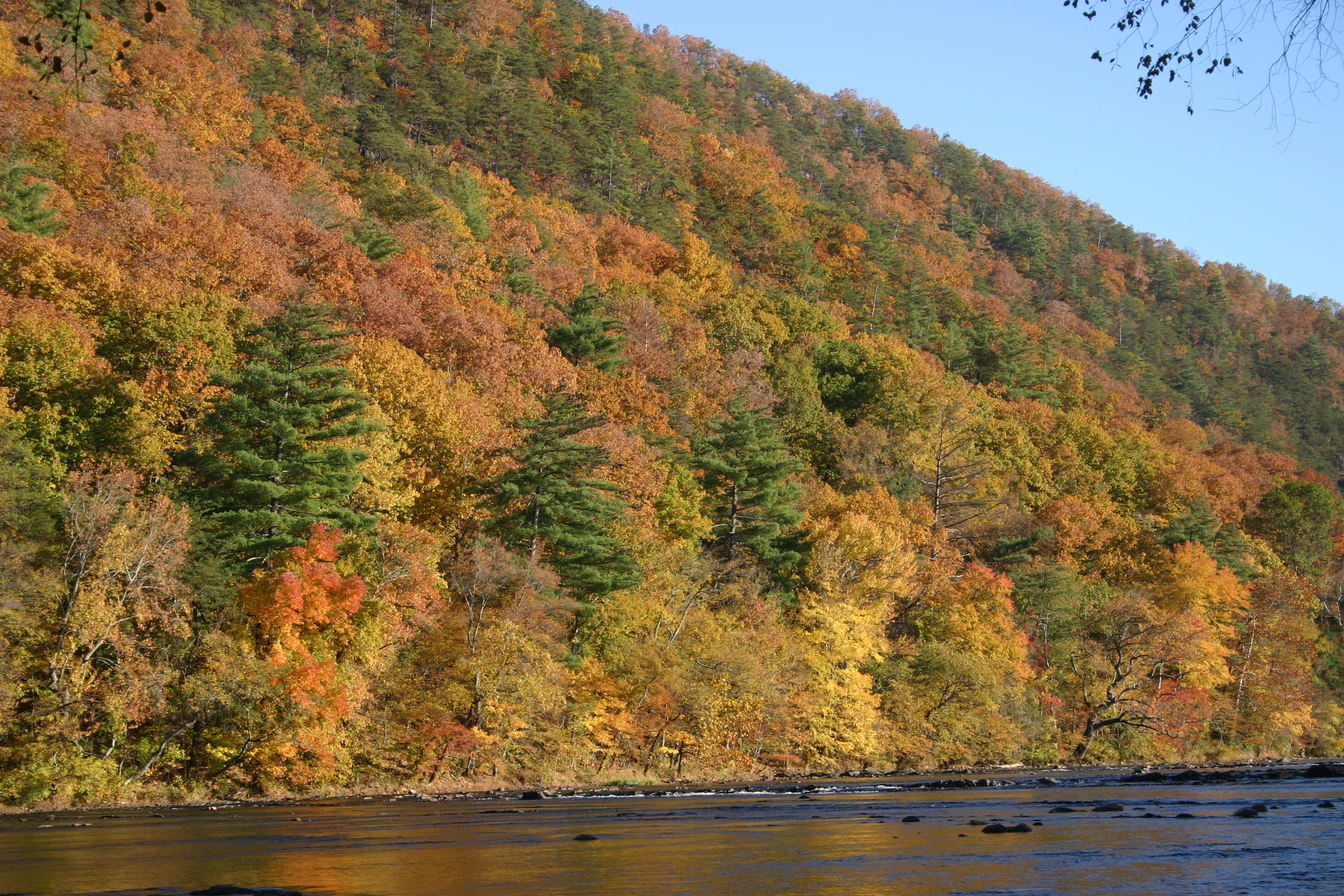
Hot Springs Oct 08 128
Hot Springs Oct 08 197
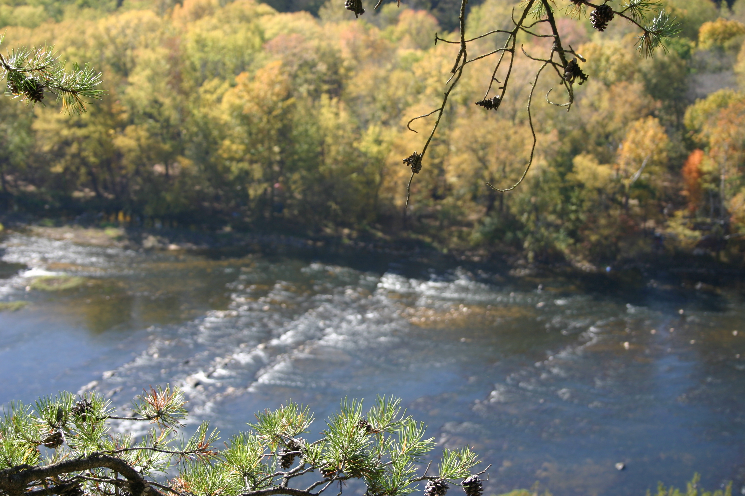
Hot Srings Oct 08 232
Hot Springs Oct 08 171
Hot Springs Oct 08 156
Topographic Map of Creekview Dr, Hot Springs, NC, USA
Find elevation by address:

Places near Creekview Dr, Hot Springs, NC, USA:
9779 Nc-209
1307 W Rd
212 Freedom Ln
West Road
West Road
Spring Creek
Freedom Lane
2685 West Rd
10755 Nc-209
10755 Nc-209
3217 Baltimore Branch Rd
2100 Baltimore Branch Rd
6128 Nc-209
Bluff
60 Gorenflo Gap Rd, Hot Springs, NC, USA
The Rattler
145 Gorenflo Gap Rd
1390 Baltimore Branch Rd
1618 Meadow Fork Rd
590 Baltimore Branch Rd
Recent Searches:
- Elevation of W Granada St, Tampa, FL, USA
- Elevation of Pykes Down, Ivybridge PL21 0BY, UK
- Elevation of Jalan Senandin, Lutong, Miri, Sarawak, Malaysia
- Elevation of Bilohirs'k
- Elevation of 30 Oak Lawn Dr, Barkhamsted, CT, USA
- Elevation of Luther Road, Luther Rd, Auburn, CA, USA
- Elevation of Unnamed Road, Respublika Severnaya Osetiya — Alaniya, Russia
- Elevation of Verkhny Fiagdon, North Ossetia–Alania Republic, Russia
- Elevation of F. Viola Hiway, San Rafael, Bulacan, Philippines
- Elevation of Herbage Dr, Gulfport, MS, USA