Elevation of Baltimore Branch Rd, Hot Springs, NC, USA
Location: United States > North Carolina > Madison County > 8, Spring Creek >
Longitude: -82.844199
Latitude: 35.7922405
Elevation: 897m / 2943feet
Barometric Pressure: 91KPa
Elevation Map:
Satellite Map:
Related Photos:

Celebrating the 4th of July
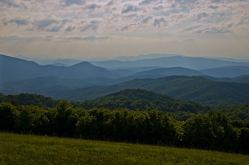
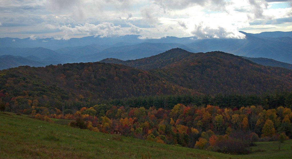
View from Max Patch

Max Patch

The Appalachian Trail

View from Max Patch

Max Patch, Ecclesiastes 3:11

Morning view, after the rain. #visitNCfarms #ncwine #vineyard #gottobenc

Max Patch, Romans 1:20

View From Max Patch

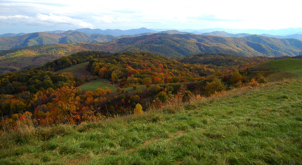
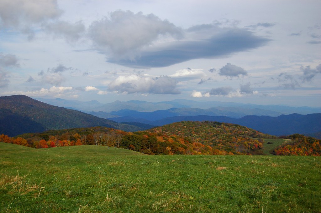
Fall on Max Patch
View looking north from Max Patch

max patch

Rainbows over Max Patch

View from Max Patch

tracks & mountains

View from Max Patch, looking east

Max Patch - October 12, 2013-052
View from the Rich Mountain lookout tower

Clouds and Stars during a Lightning Storm

View from Max Patch, looking east

This weekend, @thelandmarkproject organized a great group of folks up to Max Patch. We shared stories and smores and great views.
Harmon Den Creek in North Carolina.
On Max Patch Bald on the TN/NC state line.

French Broad River and Hot Springs, North Carolina from Lover's Leap on the Appalachian Trail.
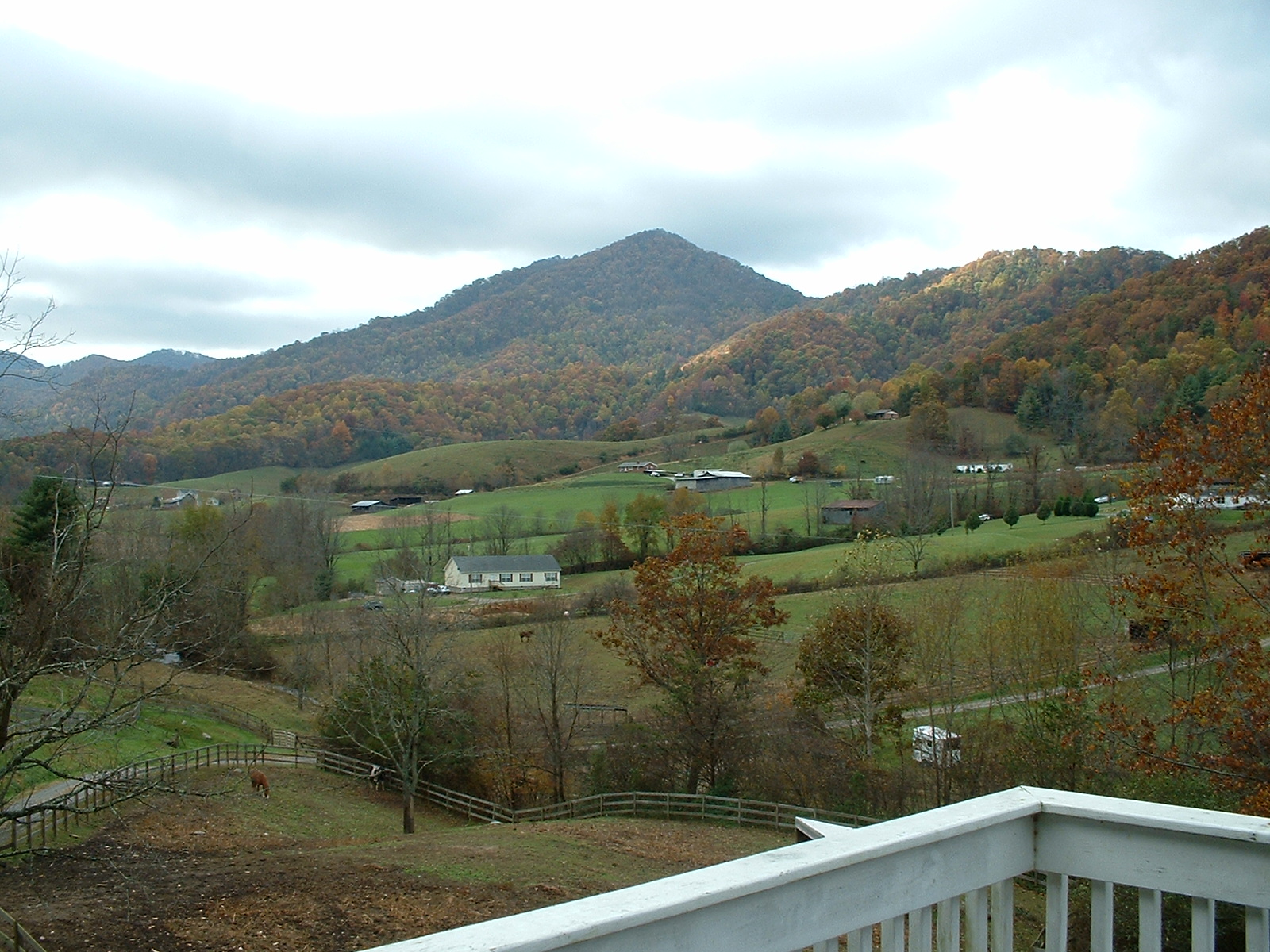
Fall leaves from my deck
Sandy Bottom Trail Rides

tone gold
Max Patch 03
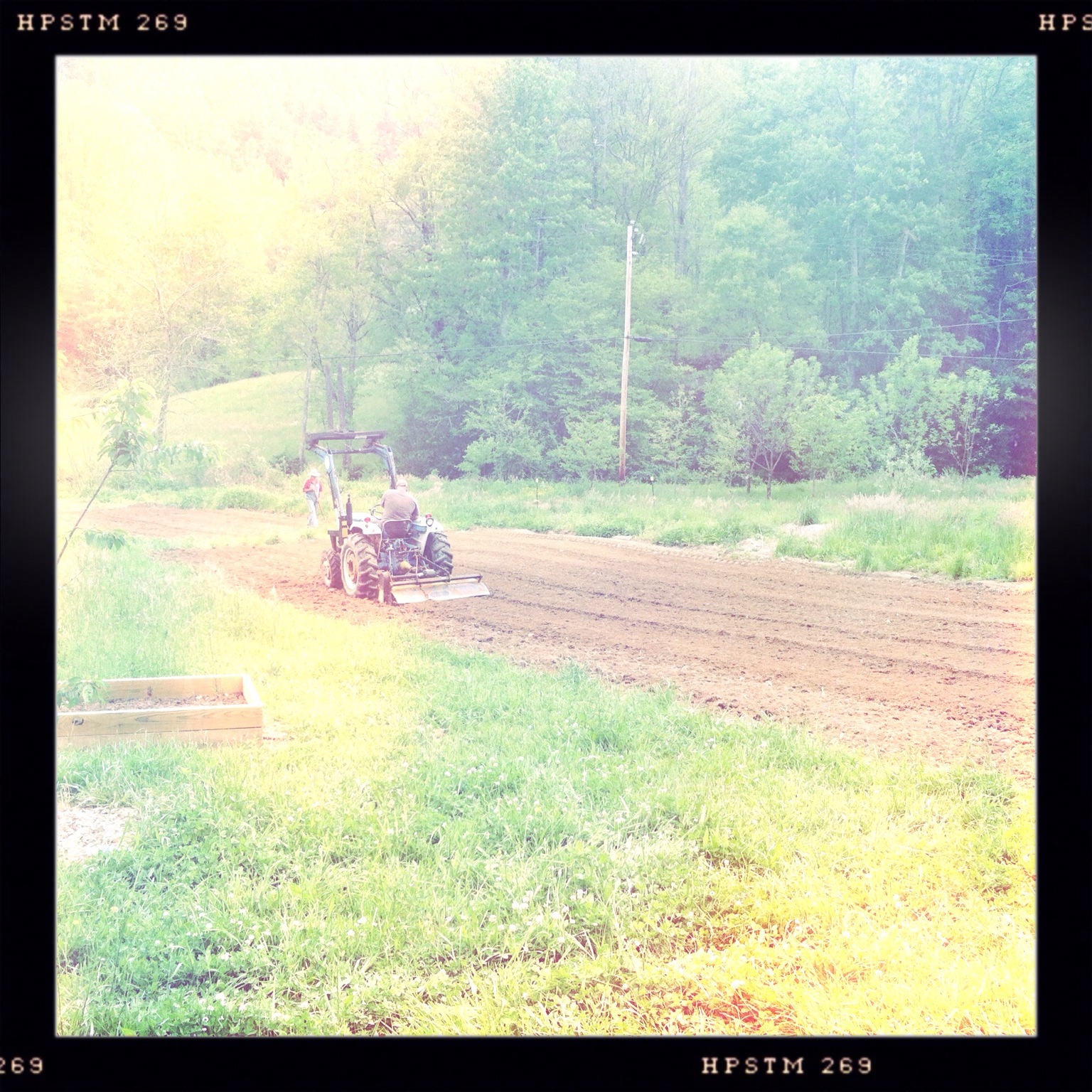
Photo Stream-682

Blue Ridge Mountains, Psalm 104:32
Max Patch 04
Max Patch 02

Photo Stream-684

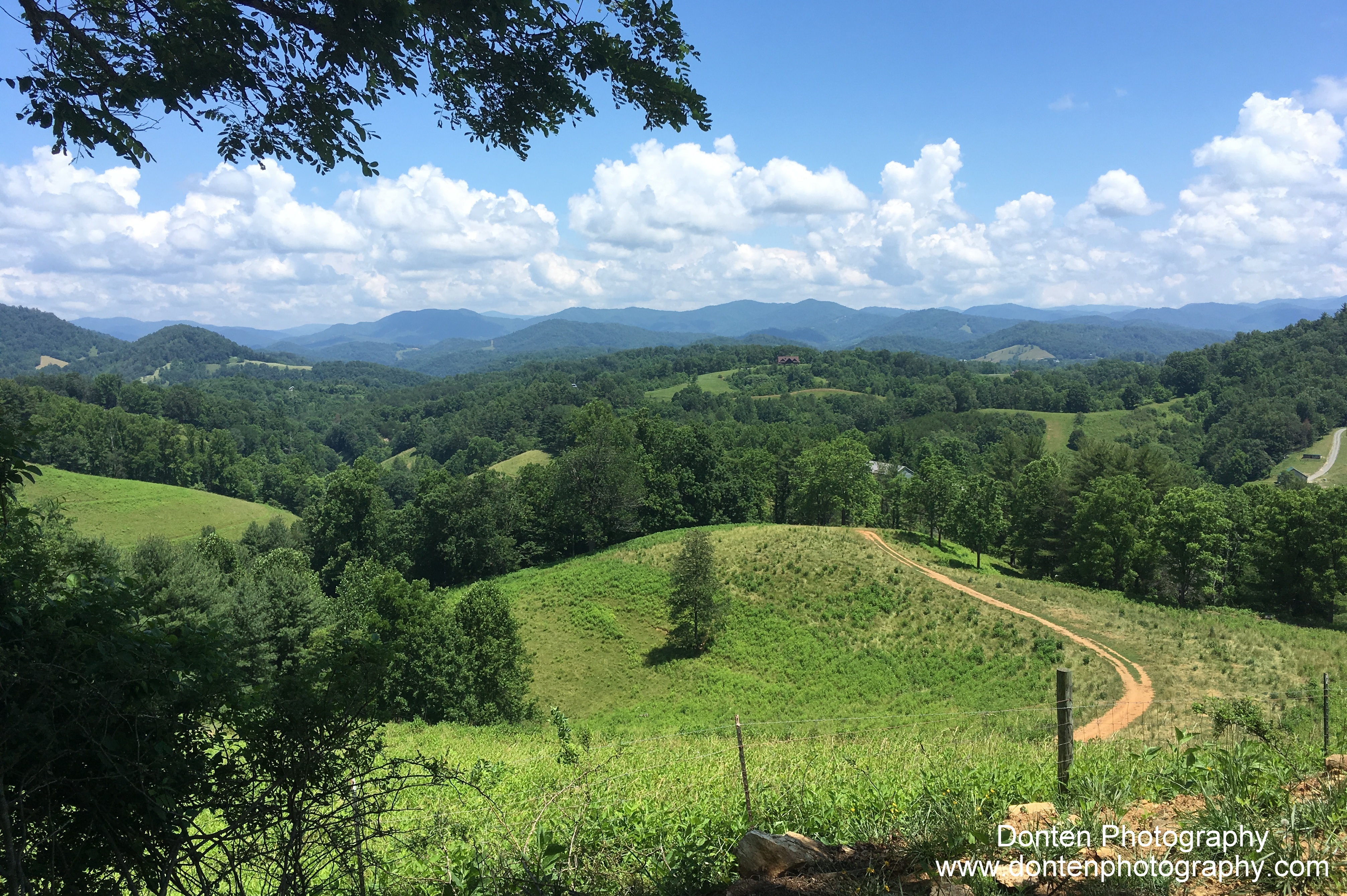
Path to the summit
Topographic Map of Baltimore Branch Rd, Hot Springs, NC, USA
Find elevation by address:

Places near Baltimore Branch Rd, Hot Springs, NC, USA:
1390 Baltimore Branch Rd
West Road
Spring Creek
1307 W Rd
West Road
3217 Baltimore Branch Rd
9779 Nc-209
590 Baltimore Branch Rd
212 Freedom Ln
10755 Nc-209
10755 Nc-209
Freedom Lane
The Rattler
175 Creekview Dr
2685 West Rd
12270 Nc-209
Big Pine Rd, Marshall, NC, USA
Kirk's Drive
Big Pine
2375 Anderson Cove Rd
Recent Searches:
- Elevation of Steadfast Ct, Daphne, AL, USA
- Elevation of Lagasgasan, X+CQH, Tiaong, Quezon, Philippines
- Elevation of Rojo Ct, Atascadero, CA, USA
- Elevation of Flagstaff Drive, Flagstaff Dr, North Carolina, USA
- Elevation of Avery Ln, Lakeland, FL, USA
- Elevation of Woolwine, VA, USA
- Elevation of Lumagwas Diversified Farmers Multi-Purpose Cooperative, Lumagwas, Adtuyon, RV32+MH7, Pangantucan, Bukidnon, Philippines
- Elevation of Homestead Ridge, New Braunfels, TX, USA
- Elevation of Orchard Road, Orchard Rd, Marlborough, NY, USA
- Elevation of 12 Hutchinson Woods Dr, Fletcher, NC, USA