Elevation of Bethany Rd, Tracy, CA, USA
Location: United States > California > San Joaquin County > Tracy >
Longitude: -121.45776
Latitude: 37.7831231
Elevation: 0m / 0feet
Barometric Pressure: 101KPa
Elevation Map:
Satellite Map:
Related Photos:

round view

ALL STAAAARS. (explored #9)

whats wrong with my heart?
Memoir Avenue
Tub View

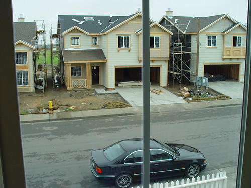
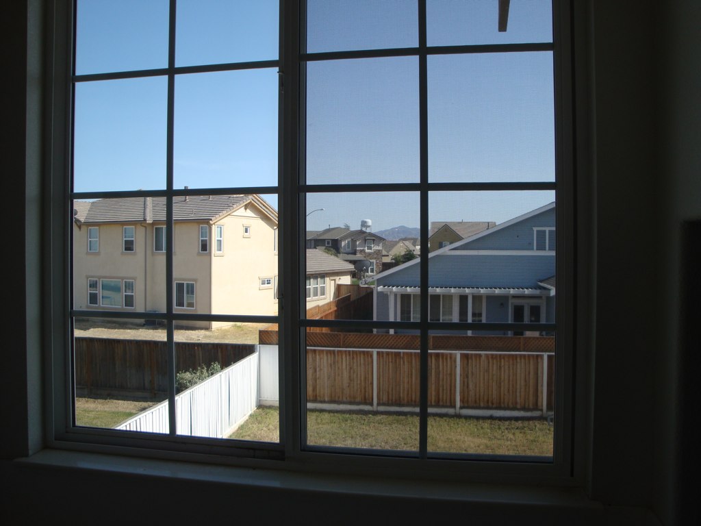
Window view

View from the train
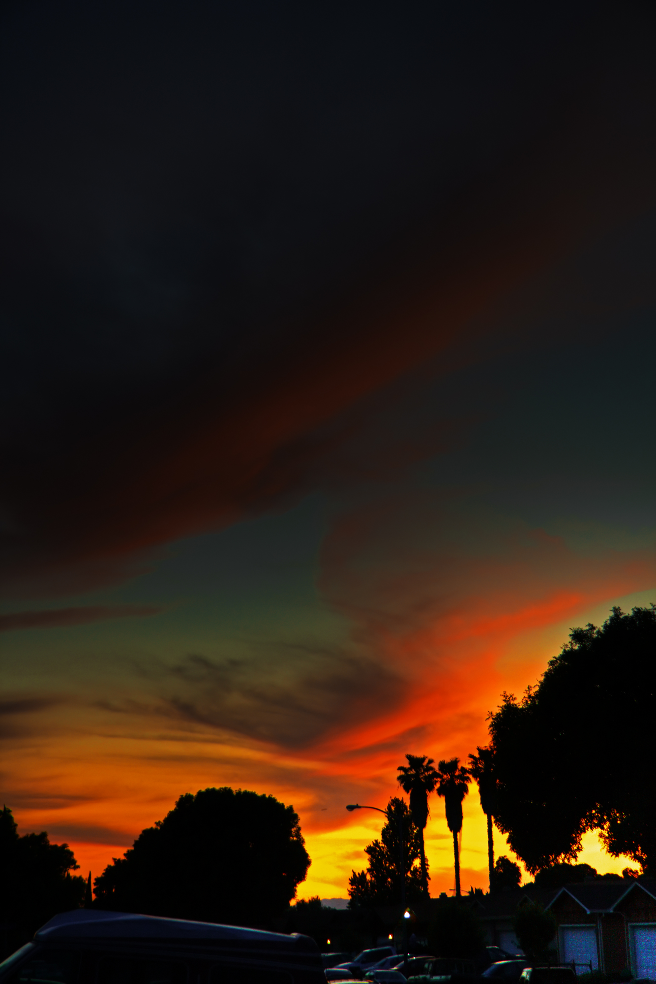
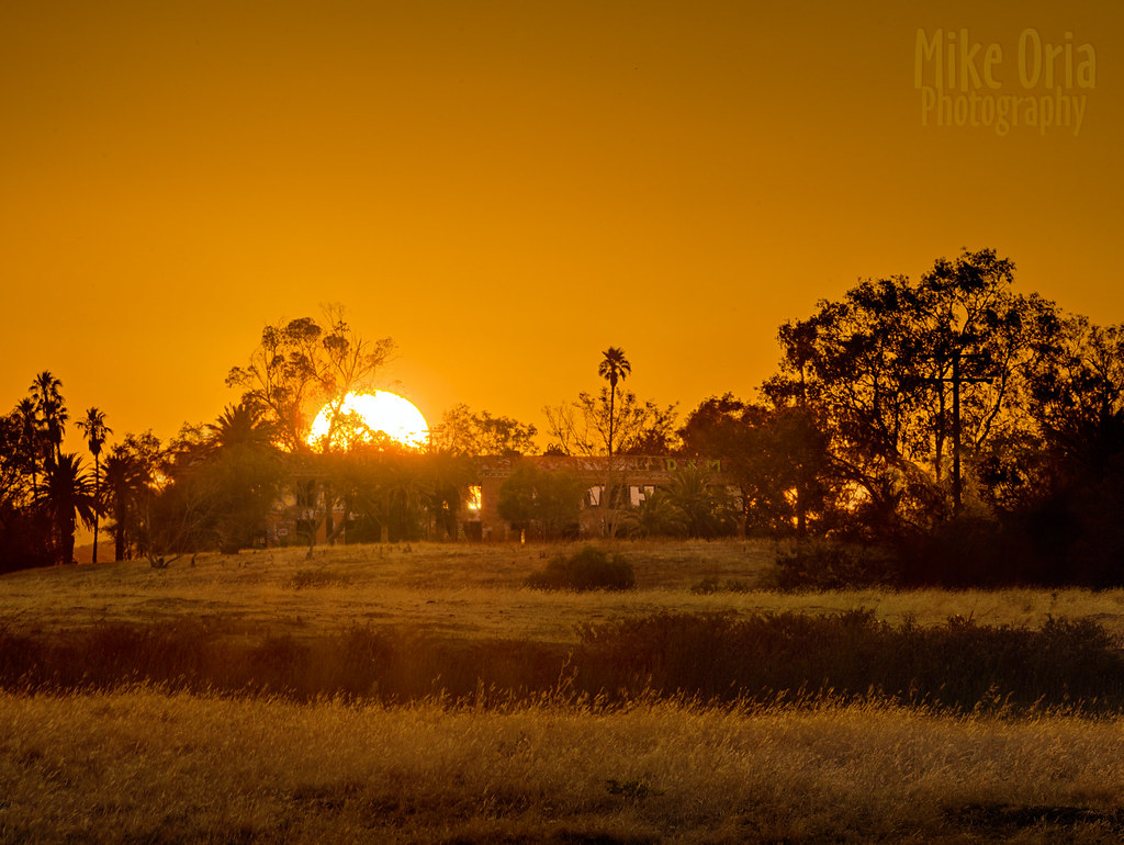
Sunset in Tracy

woodward ferry. california delta. 2011.

Horse Fly
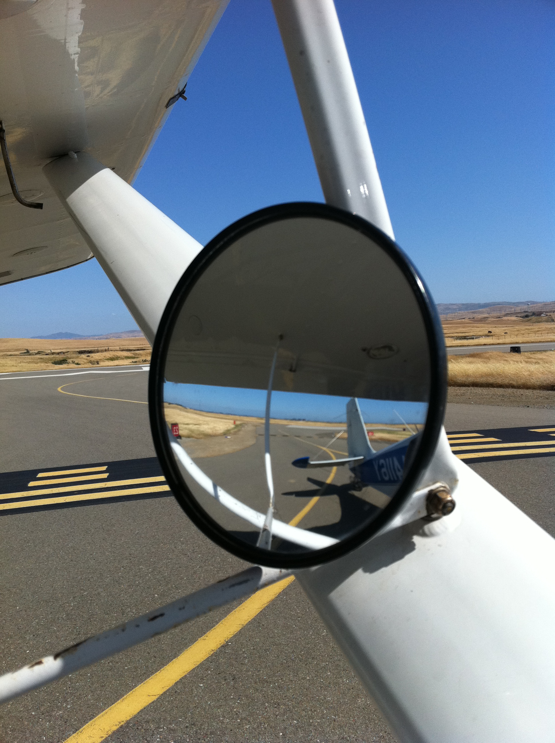
Towplane rear view
RB_LunarEclipse-AltamontPass K10

Burrowing Owl

Bundle of Energy
a rare view for these parts - no wind turbines

Enjoying A Sunset In Tracy, CA (3-28-12) Photo #3
Hailing/Snowing on Altamont Pass (April 7, 2011)

The view this morning.
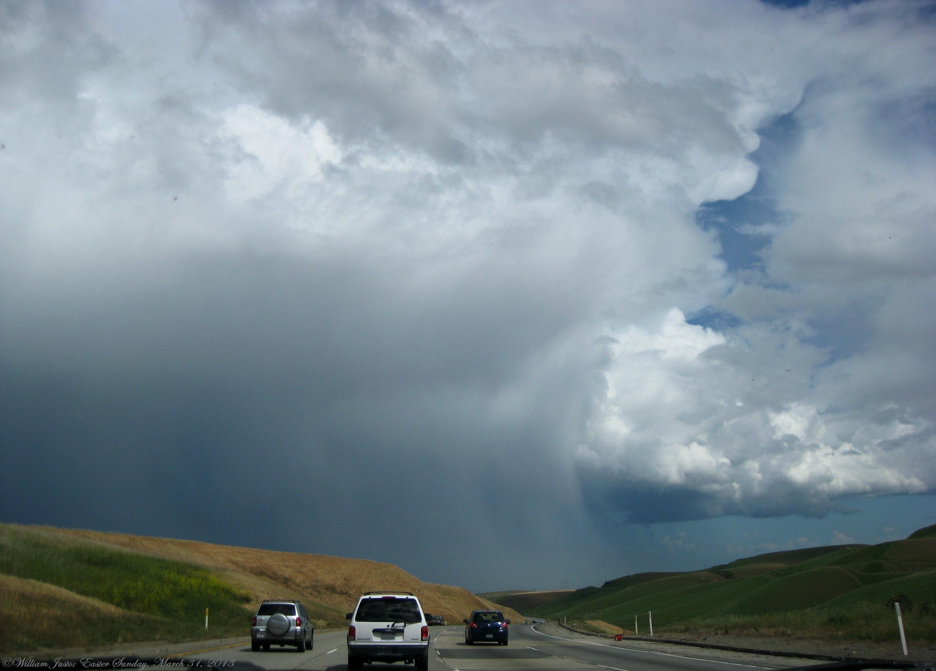
Fully Grown, Healthy Thunderstorm Cell, Looks Like A Severe Cell, Over Tracy, CA!! (3-31-13) Photo #6
Tracy_Transit-BusStop

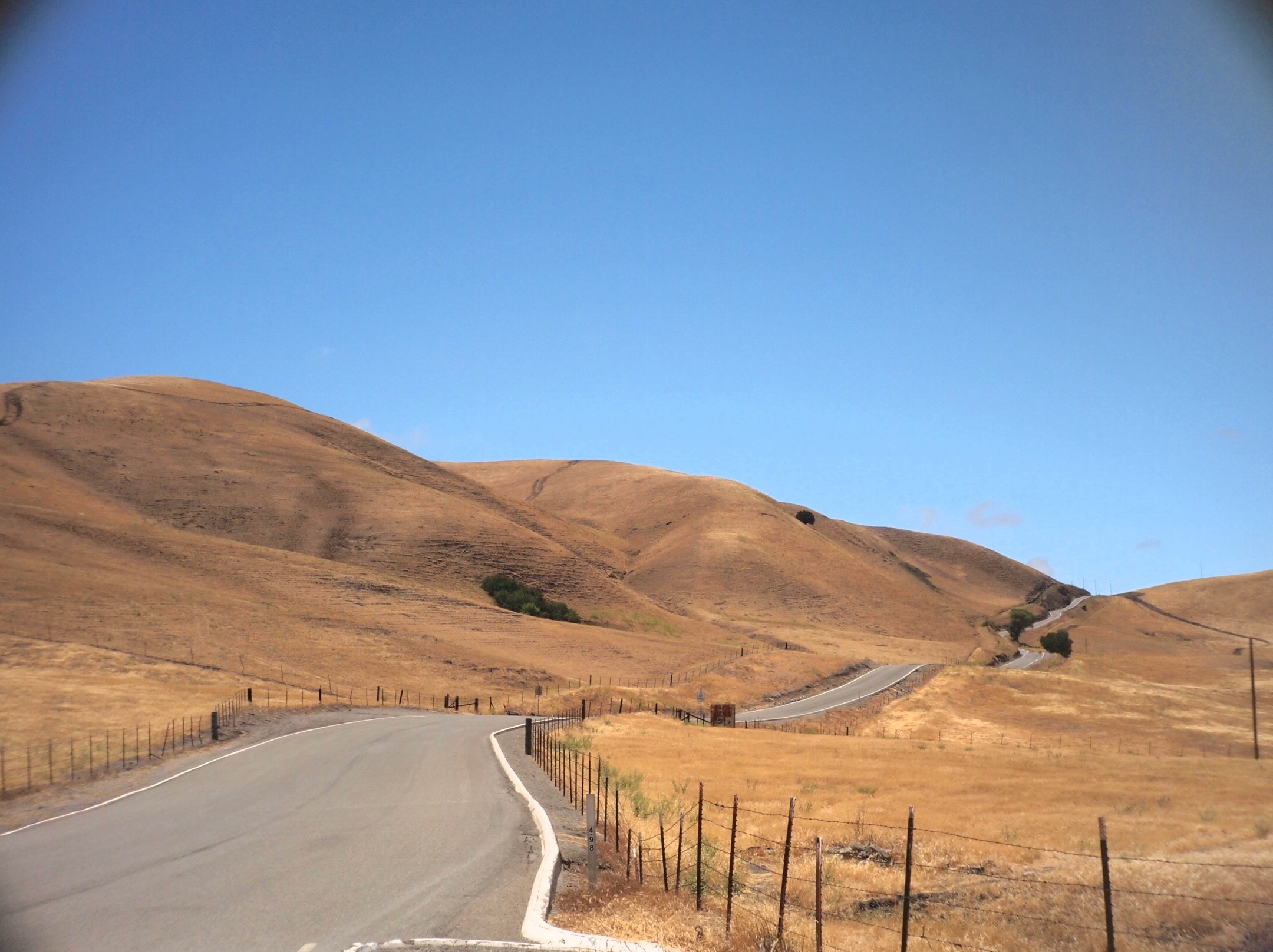
California Landscape

charles brush's turbines
pipe (color infrared). lathrop, ca. 2016.
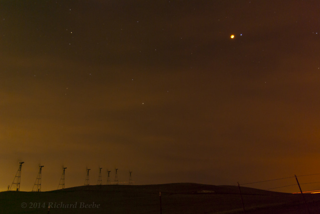
wind turbines and the moon
Spring Storm and Barn, San Joaquin County, CA
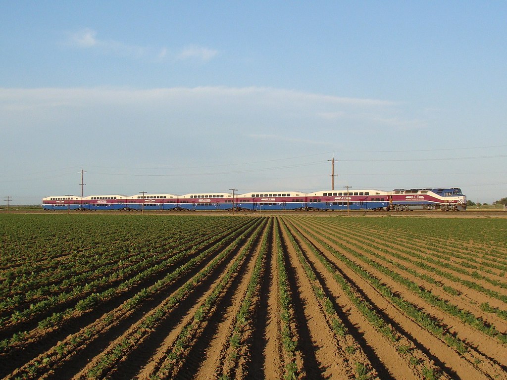
ACE 8
Byron Hot Springs Sunset

Mammatus Clouds and Thunderstorm, San Joaquin County, CA
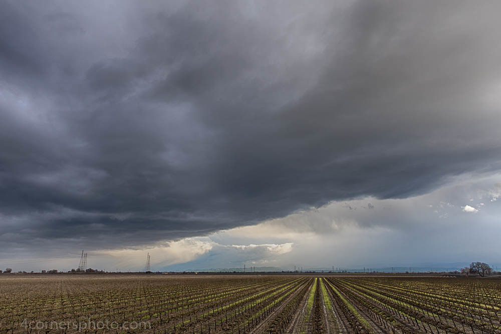
Thunderstorm and Vineyard, San Joaquin County, CA
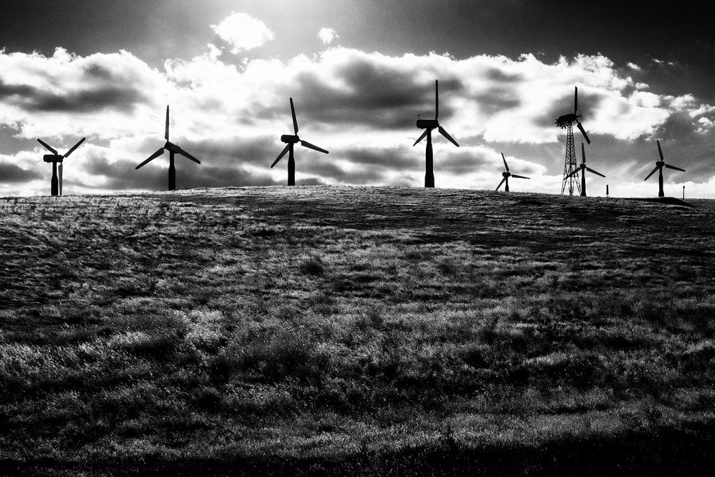
The Buzz Cut
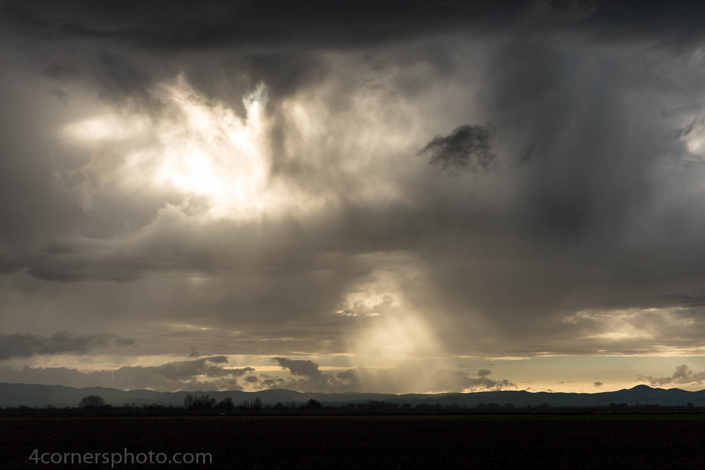
Crepuscular Rays, San Joaquin County, CA

Autumn Thunderstorm, San Joaquin County, CA
over the hill

Sunset, Union Island and Mount Diablo

SP San Joaquin Daylight
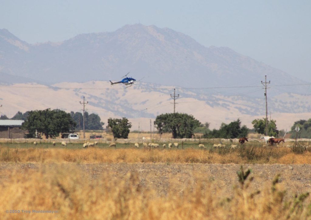
Crop Duster and Mount Diablo, CA

Electric Tower and Twilight, San Joaquin County, CA

Sunset, Mount Diablo, CA

Every day is a winding road
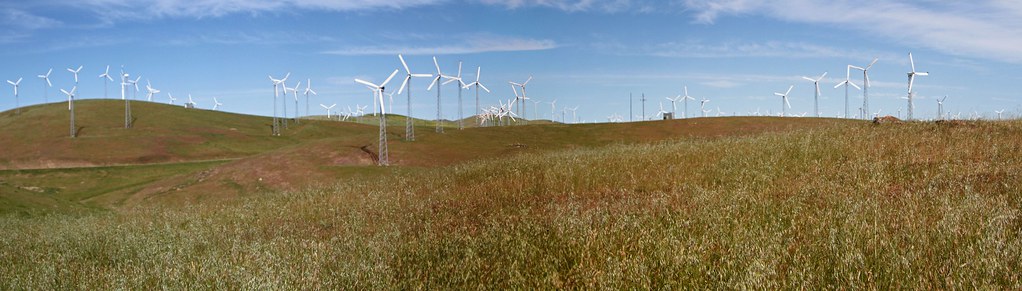
Windmill-Panorama1
USA-20120429-234128
Topographic Map of Bethany Rd, Tracy, CA, USA
Find elevation by address:

Places near Bethany Rd, Tracy, CA, USA:
11667 W Clover Rd
11689 W Clover Rd
1820 Bridle Creek Cir
442 W Kavanagh Ave
1801 Radcliff Ct
Crossroads Drive
1416 Madison Ave
328 W Beverly Pl
2482 Angora Ct
338 E Lowell Ave
Tracy
1713 Ray Wise Ln
Tracy High School
16261 Redondo Dr
785 Independence Dr
11320 Mountain View Rd
925 Amaretto Dr
24126 Cabe Rd
55 E Deerwood Ln
Corral Hollow Road
Recent Searches:
- Elevation of Tenjo, Cundinamarca, Colombia
- Elevation of Côte-des-Neiges, Montreal, QC H4A 3J6, Canada
- Elevation of Bobcat Dr, Helena, MT, USA
- Elevation of Zu den Ihlowbergen, Althüttendorf, Germany
- Elevation of Badaber, Peshawar, Khyber Pakhtunkhwa, Pakistan
- Elevation of SE Heron Loop, Lincoln City, OR, USA
- Elevation of Slanický ostrov, 01 Námestovo, Slovakia
- Elevation of Spaceport America, Co Rd A, Truth or Consequences, NM, USA
- Elevation of Warwick, RI, USA
- Elevation of Fern Rd, Whitmore, CA, USA