Elevation of 55 E Deerwood Ln, Tracy, CA, USA
Location: United States > California > San Joaquin County > Tracy >
Longitude: -121.42724
Latitude: 37.7177329
Elevation: 30m / 98feet
Barometric Pressure: 101KPa
Elevation Map:
Satellite Map:
Related Photos:

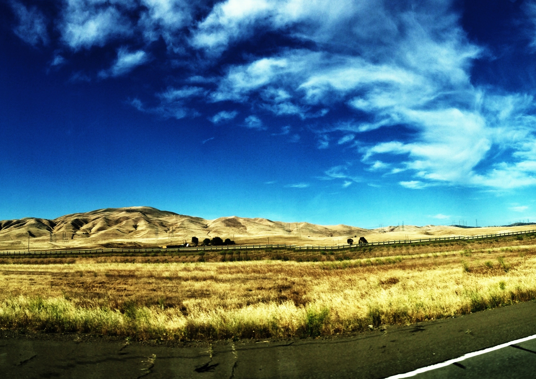
round view
View From The Coast to Yosemite NP
View From The Coast to Yosemite NP

whats wrong with my heart?

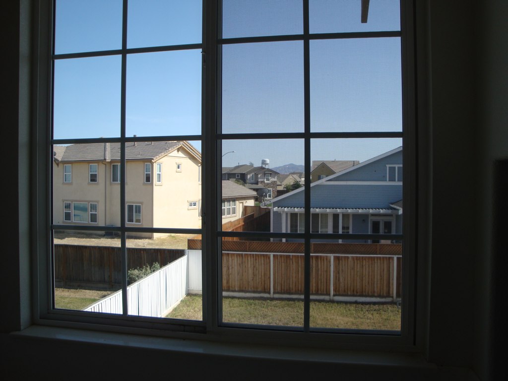
Window view

Horse Fly
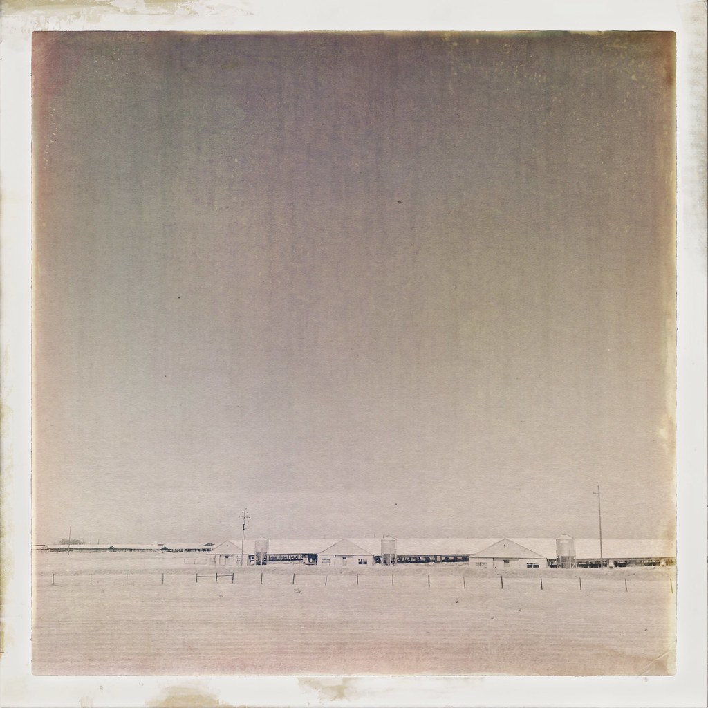
Tracy_Transit-BusStop

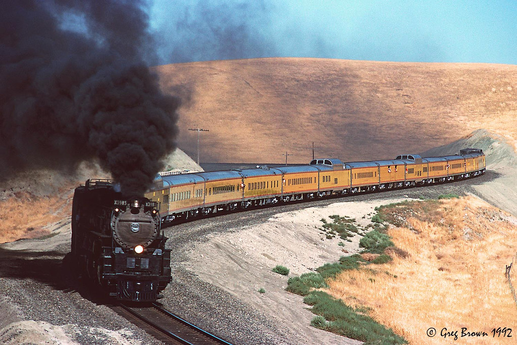
View from the train
Tub View

Horse Fly
Memoir Avenue
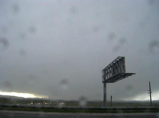
Sunset in Tracy
FROM THE "ROAD NOTES OF MAVEN": 0.01 To 0.0 Miles

Blue Mud Wasp?
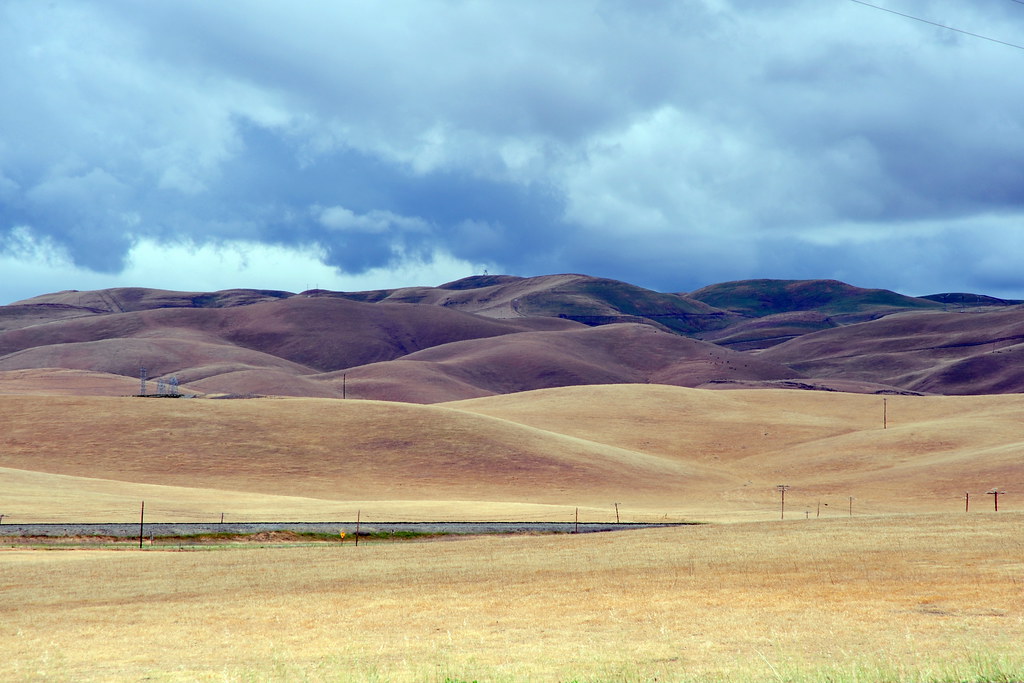
a rare view for these parts - no wind turbines

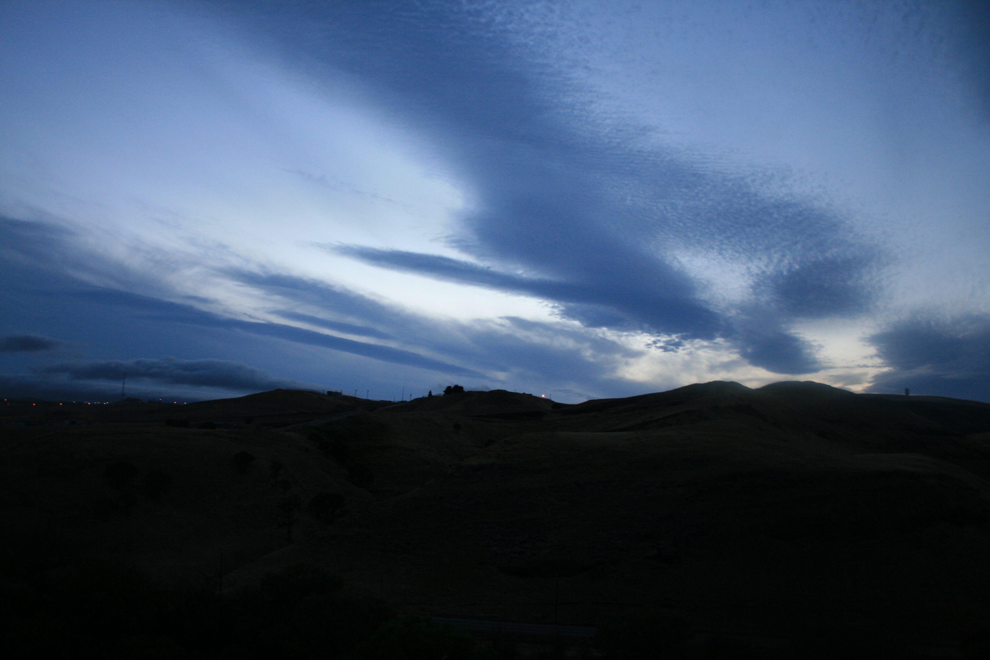
The view this morning.
Hailing/Snowing on Altamont Pass (April 7, 2011)

Enjoying A Sunset In Tracy, CA (3-28-12) Photo #3
Memoir Avenue
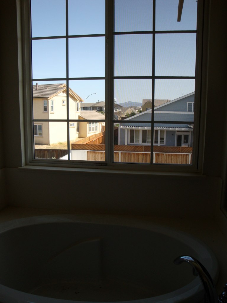
Tub View
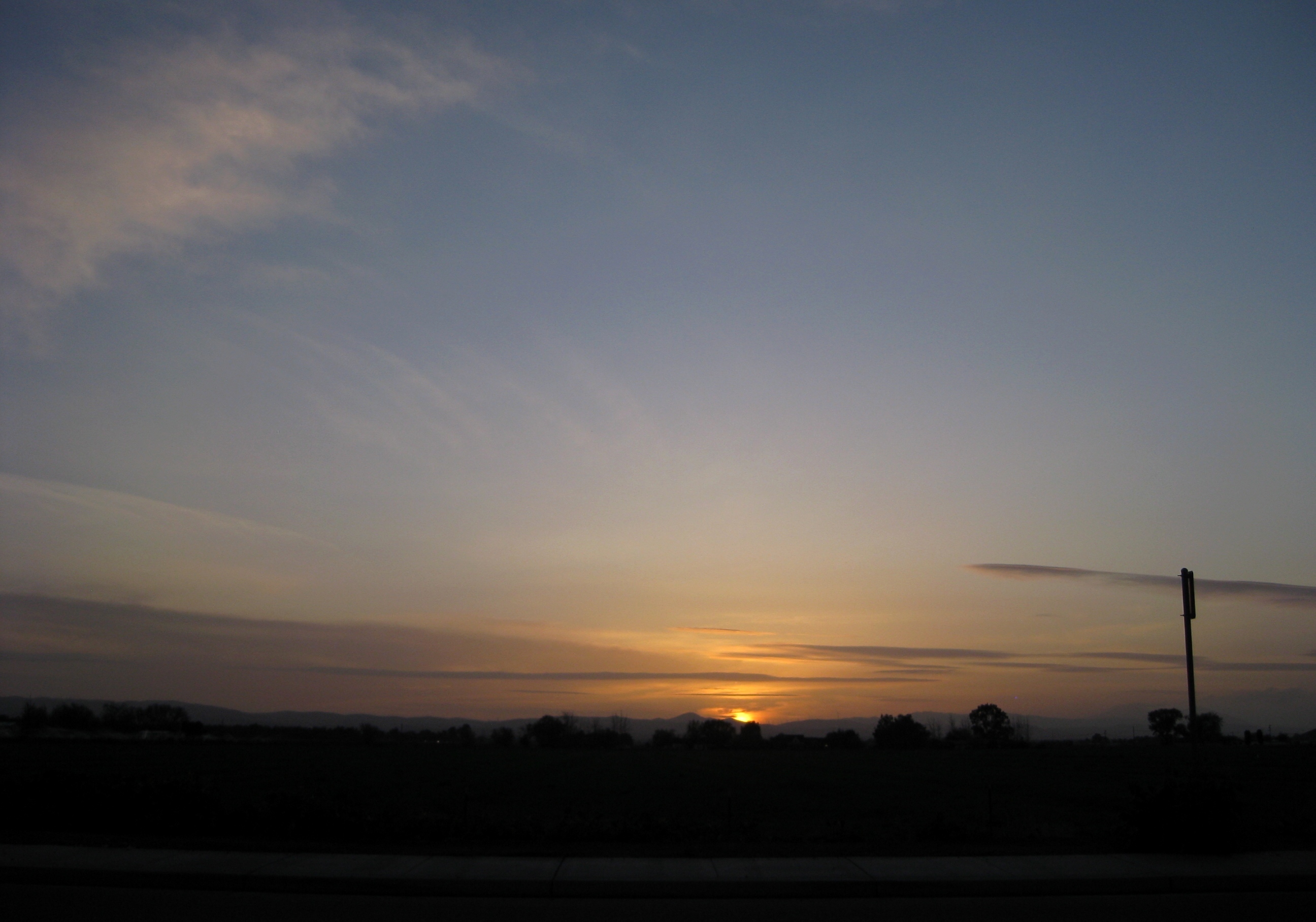
A Beautiful Sunset With Clouds From Tracy, CA (3-28-12) Photo #2
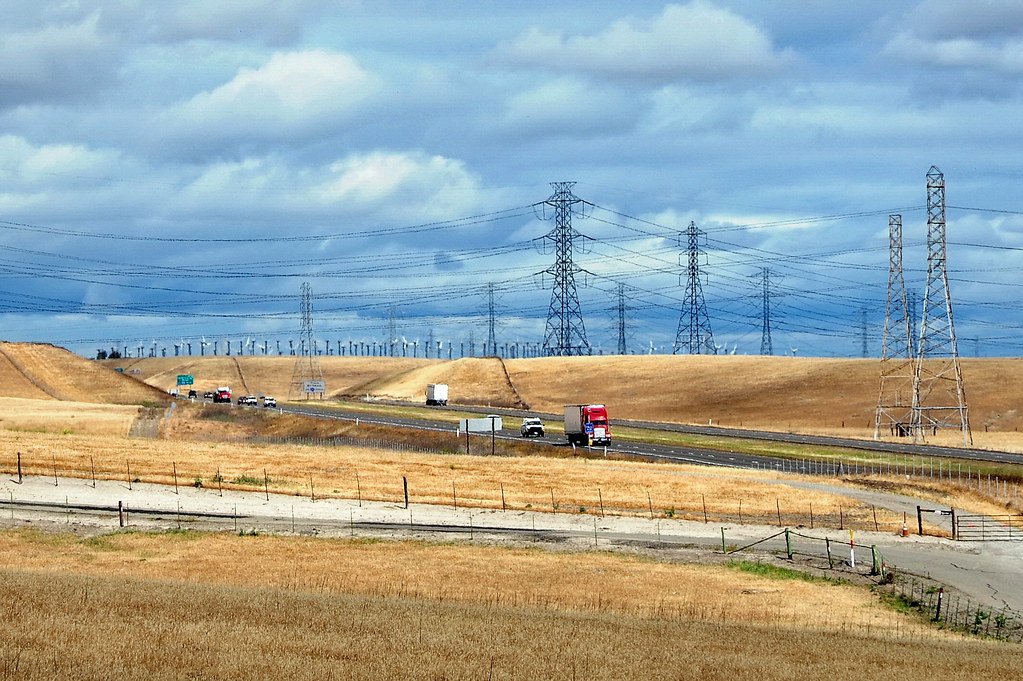
I-5 Drylands

Gone to Seed-1

Brichetto Tomb Nº 1
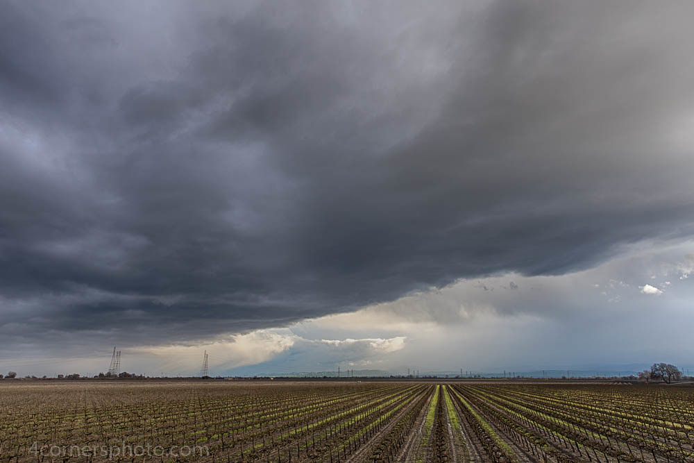
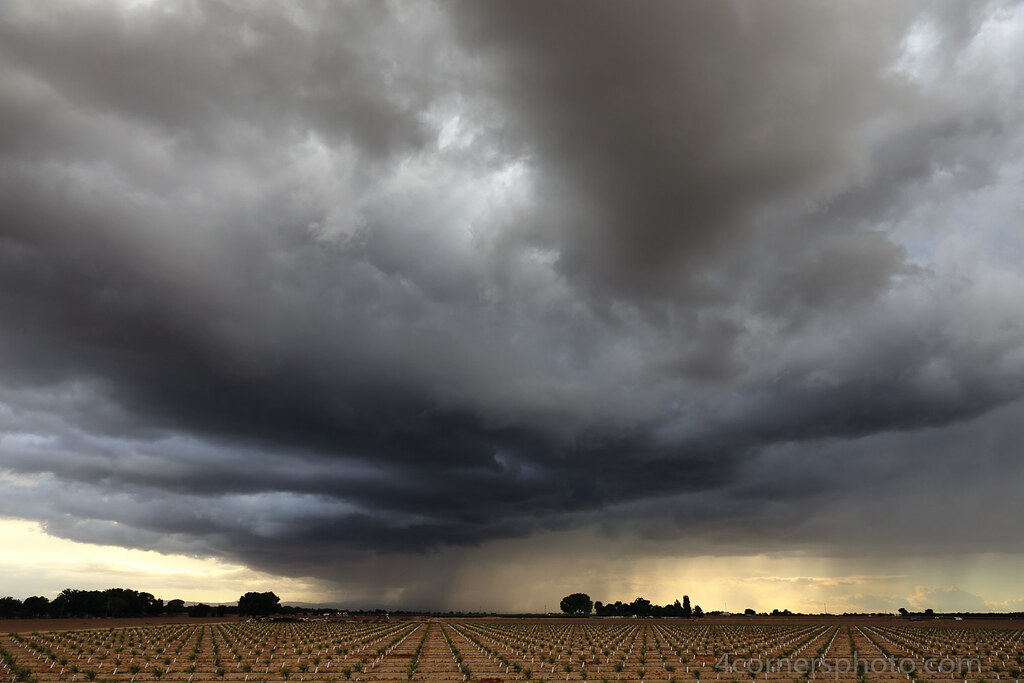
Thunderstorm and Vineyard, San Joaquin County, CA
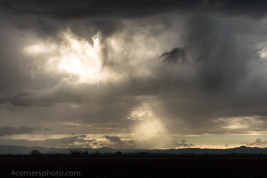
Crepuscular Rays, San Joaquin County, CA

Autumn Thunderstorm, San Joaquin County, CA
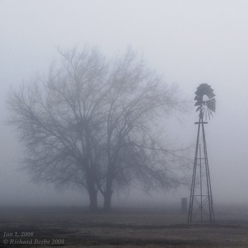
RB_01-01-08_057sq_windmill
On The Way Home no. 1
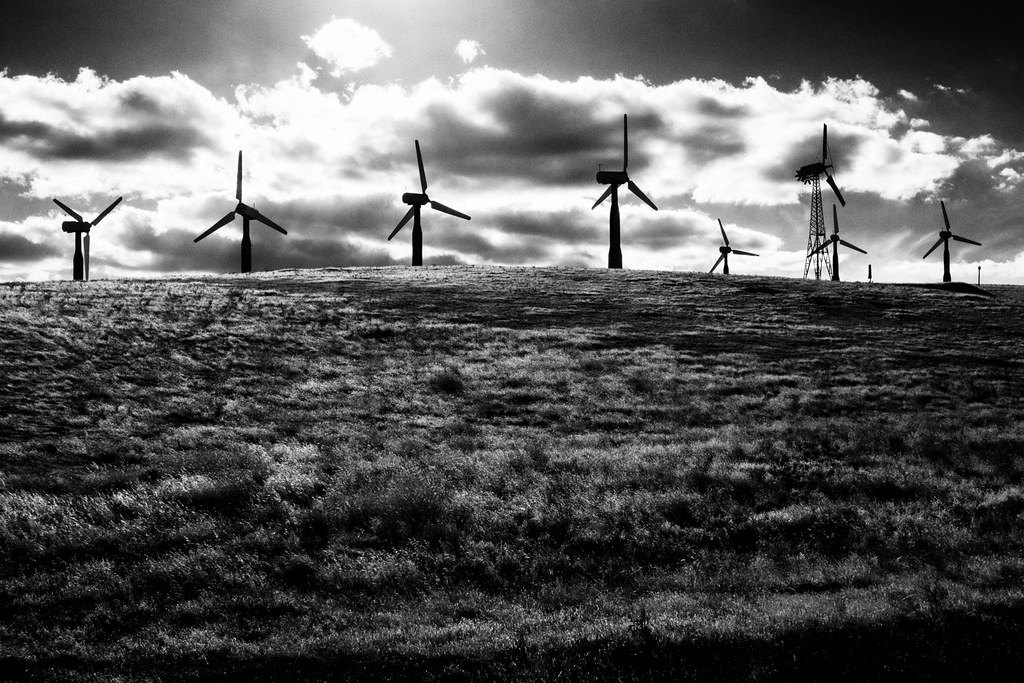
Green energy
Crop Duster and Mount Diablo, CA
Altamont Pass 5
over the hill
junjul2009 146
Thirty minutes at Midway (2 of 2)

On the road again.

Sunset, Mount Diablo, CA
Thunderstorm and Orchard, San Joaquin County, CA
On The Way Home no. 2

Every day is a winding road

Sunrise, Holly Sugar, Tracy, CA
Topographic Map of 55 E Deerwood Ln, Tracy, CA, USA
Find elevation by address:

Places near 55 E Deerwood Ln, Tracy, CA, USA:
251 De Bord Dr
925 Amaretto Dr
785 Independence Dr
512 Quail Run Cir
2191 Erie Ct
11320 Mountain View Rd
2669 Atherton Ct
1713 Ray Wise Ln
Tracy
Tracy High School
328 W Beverly Pl
1416 Madison Ave
Corral Hollow Road
W Linne Rd, Tracy, CA, USA
Tracy Defense Distribution Depot
1951 Middlefield Dr
338 E Lowell Ave
24126 Cabe Rd
1801 Radcliff Ct
2482 Angora Ct
Recent Searches:
- Elevation of Elwyn Dr, Roanoke Rapids, NC, USA
- Elevation of Congressional Dr, Stevensville, MD, USA
- Elevation of Bellview Rd, McLean, VA, USA
- Elevation of Stage Island Rd, Chatham, MA, USA
- Elevation of Shibuya Scramble Crossing, 21 Udagawacho, Shibuya City, Tokyo -, Japan
- Elevation of Jadagoniai, Kaunas District Municipality, Lithuania
- Elevation of Pagonija rock, Kranto 7-oji g. 8"N, Kaunas, Lithuania
- Elevation of Co Rd 87, Jamestown, CO, USA
- Elevation of Tenjo, Cundinamarca, Colombia
- Elevation of Côte-des-Neiges, Montreal, QC H4A 3J6, Canada