Elevation of Mountain View Rd, Tracy, CA, USA
Location: United States > California > San Joaquin County > Tracy >
Longitude: -121.44418
Latitude: 37.719079
Elevation: 24m / 79feet
Barometric Pressure: 101KPa
Elevation Map:
Satellite Map:
Related Photos:

round view
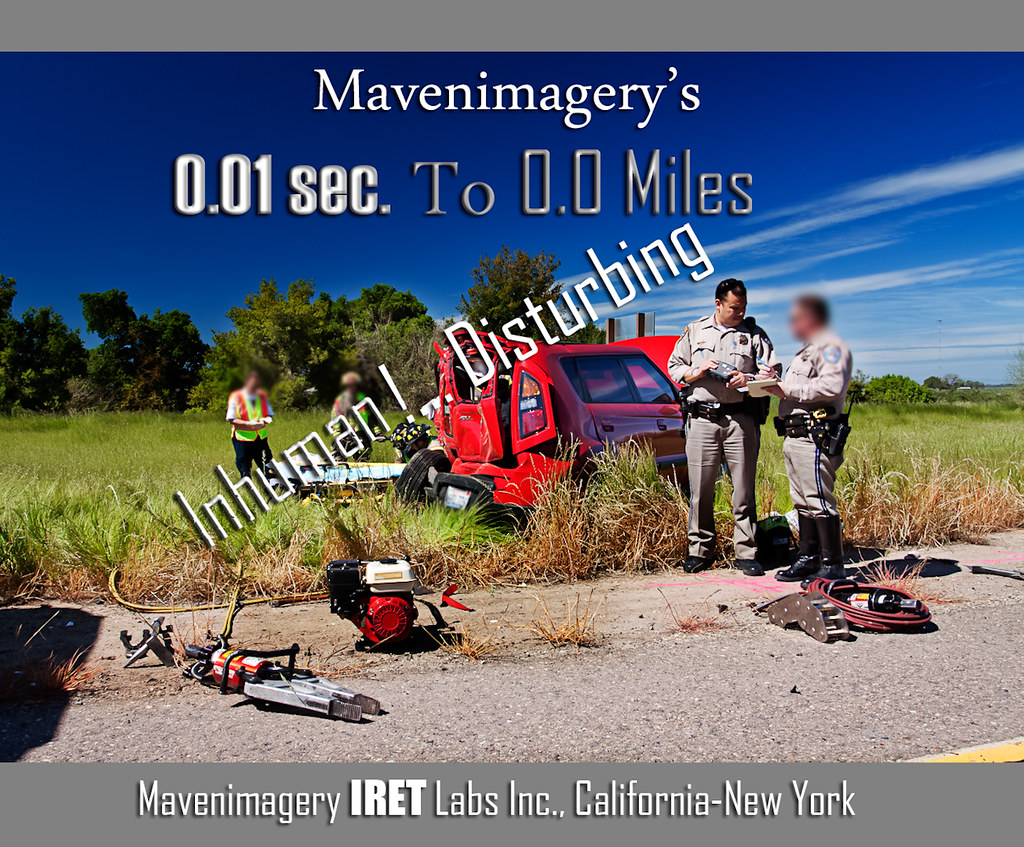
FROM THE "ROAD NOTES OF MAVEN": 0.01 To 0.0 Miles

Bundle of Energy

Tracy_Transit-BusStop

ALL STAAAARS. (explored #9)

whats wrong with my heart?
Tub View

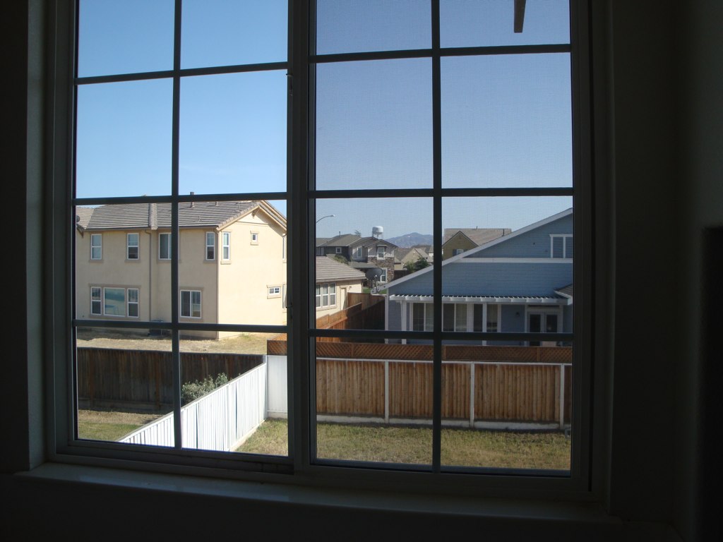
Window view

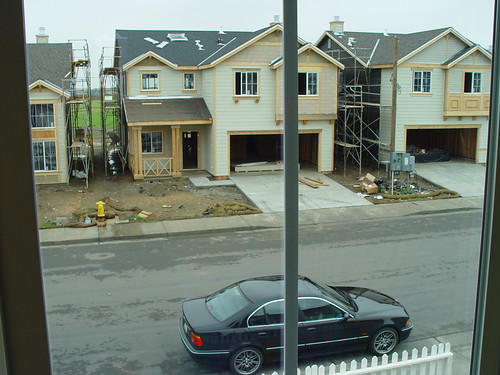
View from the train

Sunset in Tracy

the windy valley

Horse Fly
Memoir Avenue
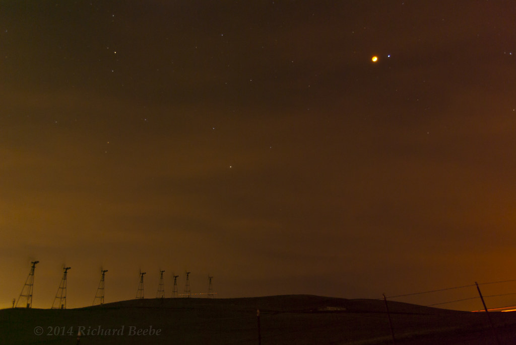
RB_LunarEclipse-AltamontPass K10

Burrowing Owl
a rare view for these parts - no wind turbines

Almond Orchard

Enjoying A Sunset In Tracy, CA (3-28-12) Photo #3
Hailing/Snowing on Altamont Pass (April 7, 2011)

Rock Art

The view this morning.

Thunderstorm and Vineyard, San Joaquin County, CA
On The Way Home no. 1

Crepuscular Rays, San Joaquin County, CA
RB_01-01-08_057sq_windmill

Sunset, Union Island and Mount Diablo
Crop Duster and Mount Diablo, CA

over the hill

Electric Tower and Twilight, San Joaquin County, CA

Sunset, Mount Diablo, CA

Spring Storm and Barn, San Joaquin County, CA

Every day is a winding road
ACE 8

Mammatus Clouds, San Joaquin County, CA

Comté d'Alameda, la vallée des Eoliennes

Brichetto Tomb Nº 1

Autumn Thunderstorm, San Joaquin County, CA

One of these.
Windmill-Panorama1
USA-20120429-234128
Mar 23, 2009
Topographic Map of Mountain View Rd, Tracy, CA, USA
Find elevation by address:

Places near Mountain View Rd, Tracy, CA, USA:
1713 Ray Wise Ln
785 Independence Dr
Corral Hollow Road
55 E Deerwood Ln
1951 Middlefield Dr
251 De Bord Dr
925 Amaretto Dr
2482 Angora Ct
512 Quail Run Cir
1416 Madison Ave
Crossroads Drive
Tracy
328 W Beverly Pl
2191 Erie Ct
1801 Radcliff Ct
Tracy High School
2669 Atherton Ct
1820 Bridle Creek Cir
338 E Lowell Ave
W Linne Rd, Tracy, CA, USA
Recent Searches:
- Elevation of Hercules Dr, Colorado Springs, CO, USA
- Elevation of Szlak pieszy czarny, Poland
- Elevation of Griffing Blvd, Biscayne Park, FL, USA
- Elevation of Kreuzburger Weg 13, Düsseldorf, Germany
- Elevation of Gateway Blvd SE, Canton, OH, USA
- Elevation of East W.T. Harris Boulevard, E W.T. Harris Blvd, Charlotte, NC, USA
- Elevation of West Sugar Creek, Charlotte, NC, USA
- Elevation of Wayland, NY, USA
- Elevation of Steadfast Ct, Daphne, AL, USA
- Elevation of Lagasgasan, X+CQH, Tiaong, Quezon, Philippines