Elevation of Bennett Peak, Wyoming, USA
Location: United States > Wyoming > Carbon County > Saratoga >
Longitude: -106.60169
Latitude: 41.2630228
Elevation: 2447m / 8028feet
Barometric Pressure: 75KPa
Elevation Map:
Satellite Map:
Related Photos:
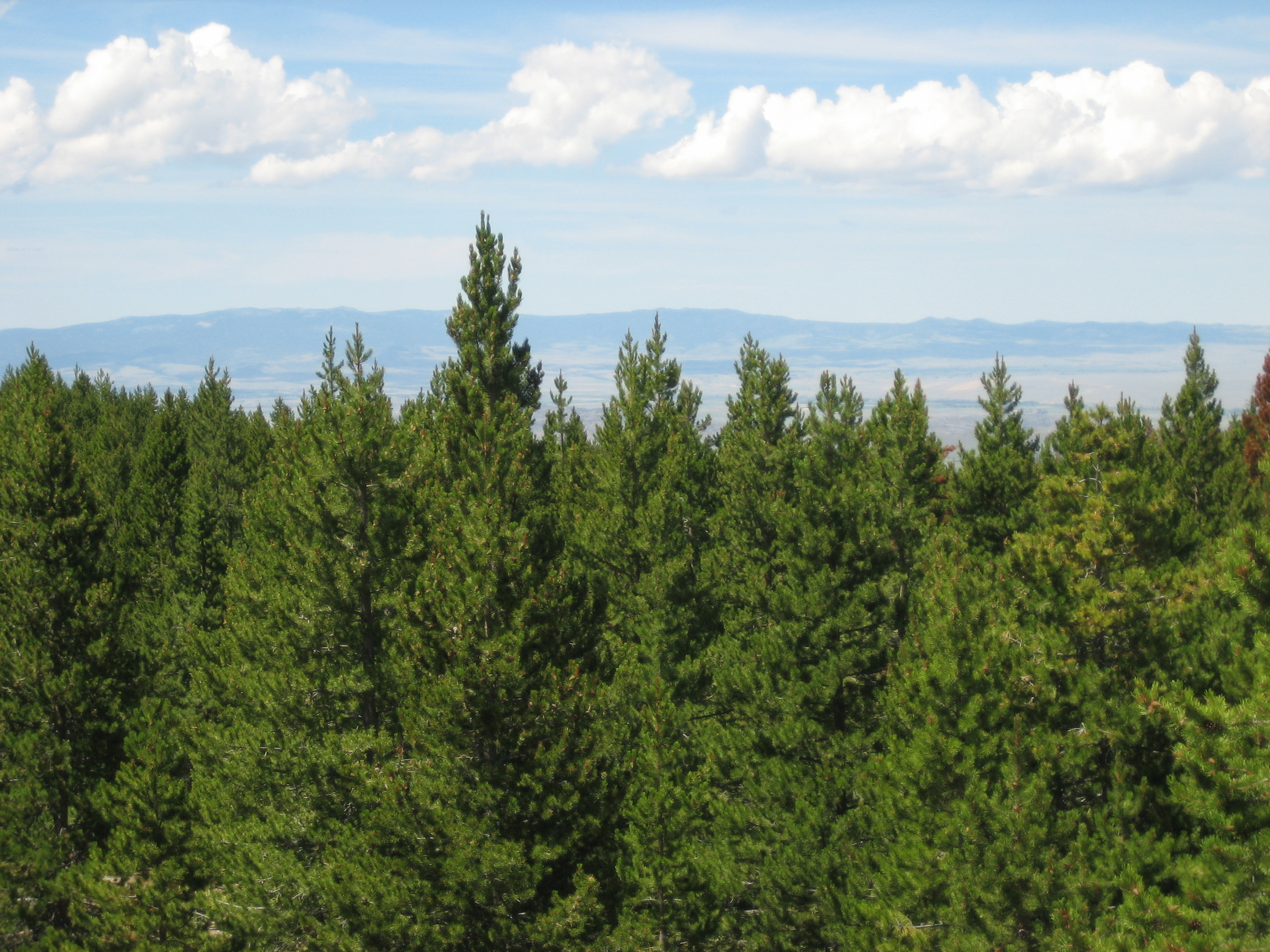
IMG_1534
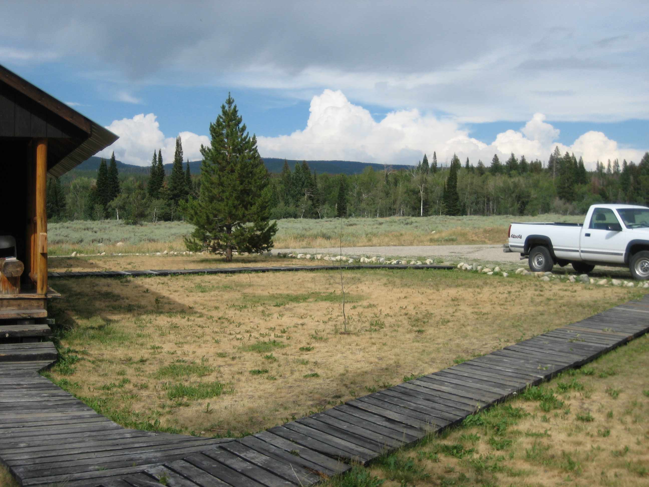
IMG_1483
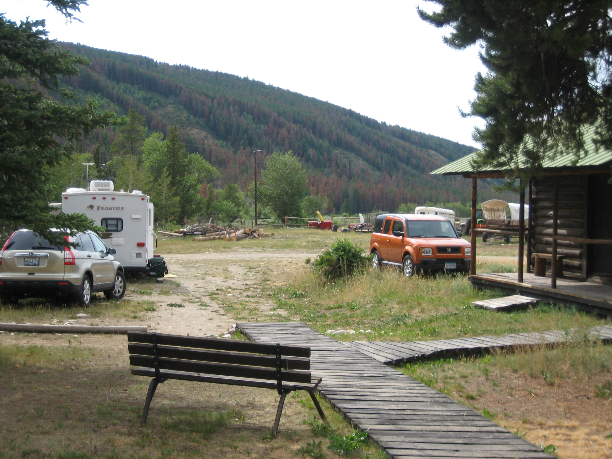
IMG_1484
2011-08 - A Bar A Ranch with Rachel-052

2011-08 - A Bar A Ranch with Rachel-052
2011-08 - A Bar A Ranch with Rachel-008
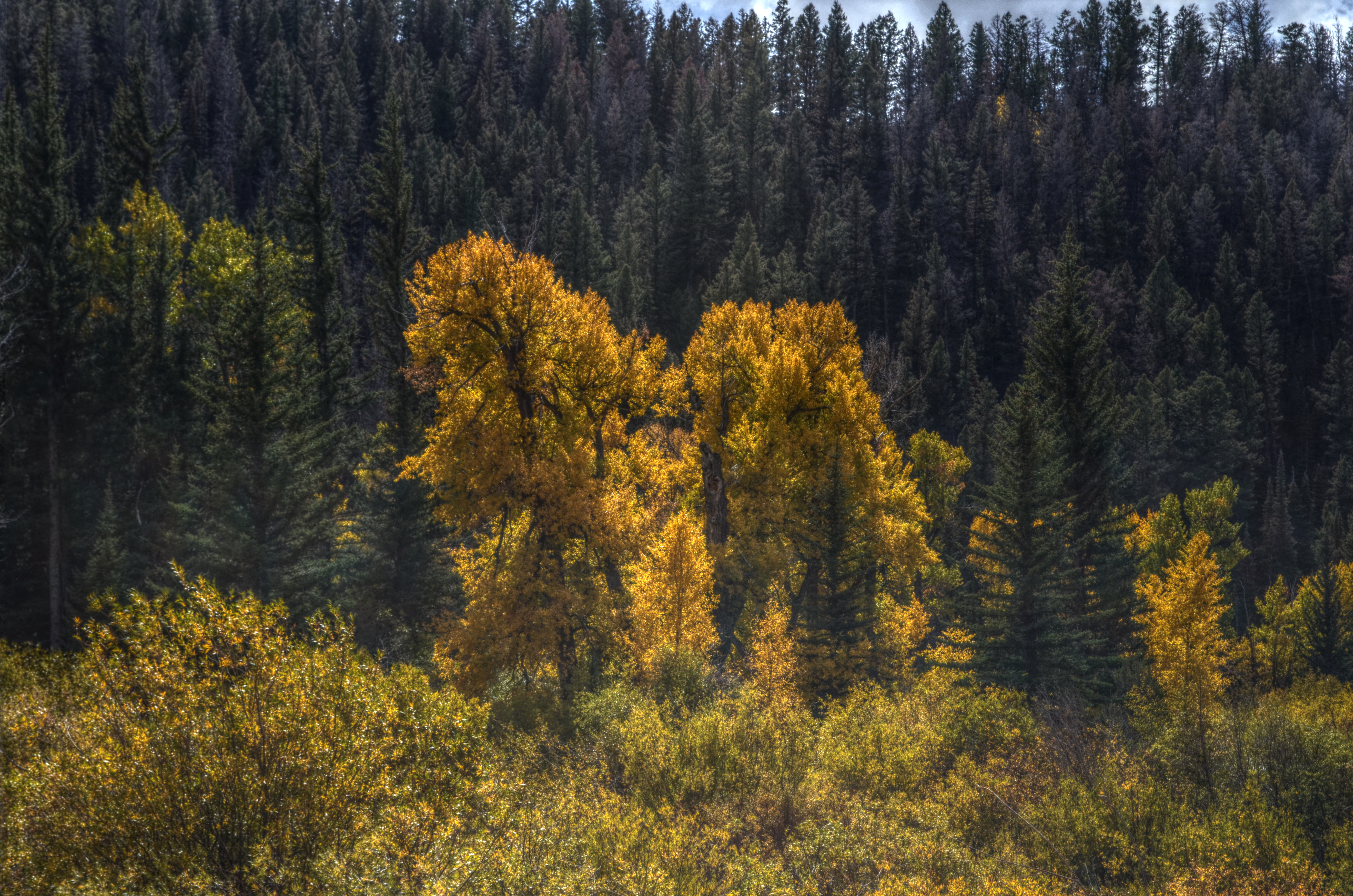
Autumn in the Mountains
2011-08 - A Bar A Ranch with Rachel-004
2011-08 - A Bar A Ranch with Rachel-029
2011-08 - A Bar A Ranch with Rachel-033

2011-08 - A Bar A Ranch with Rachel-047
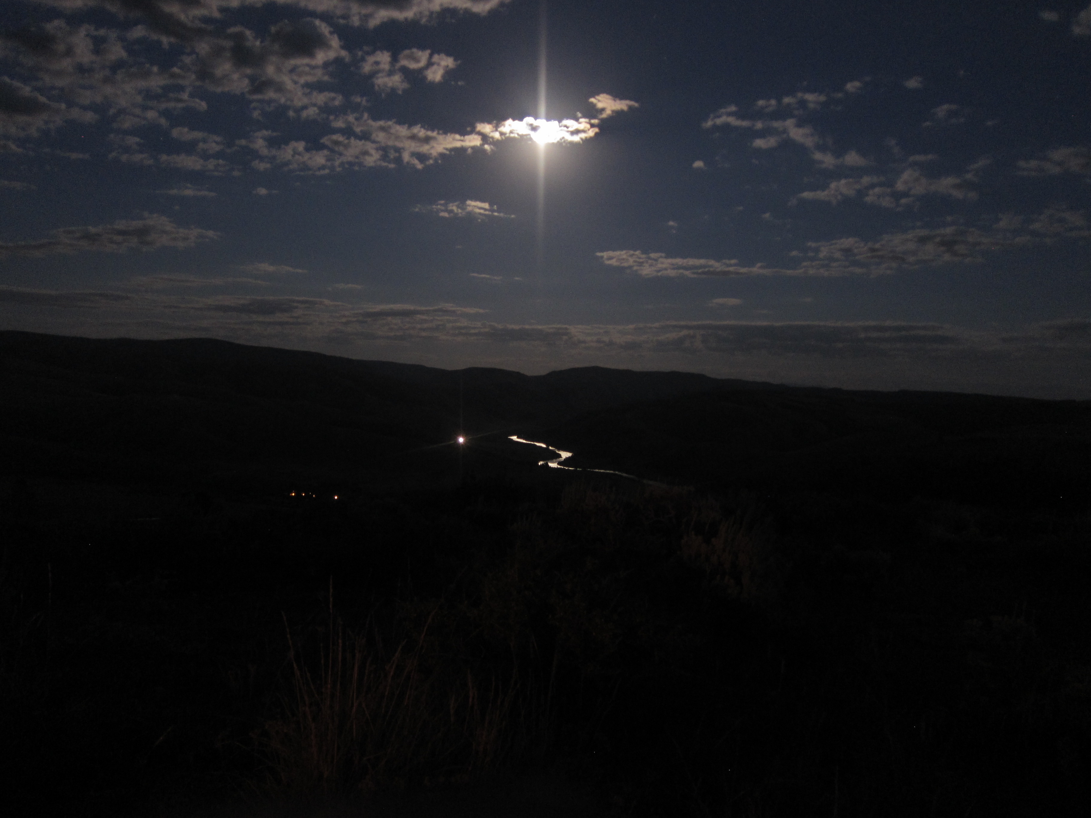
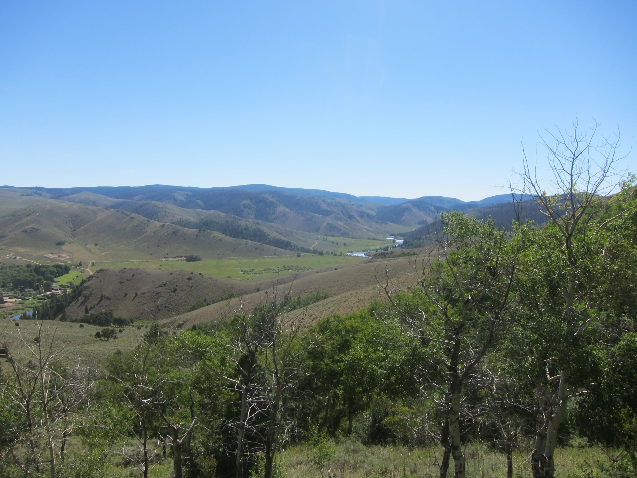
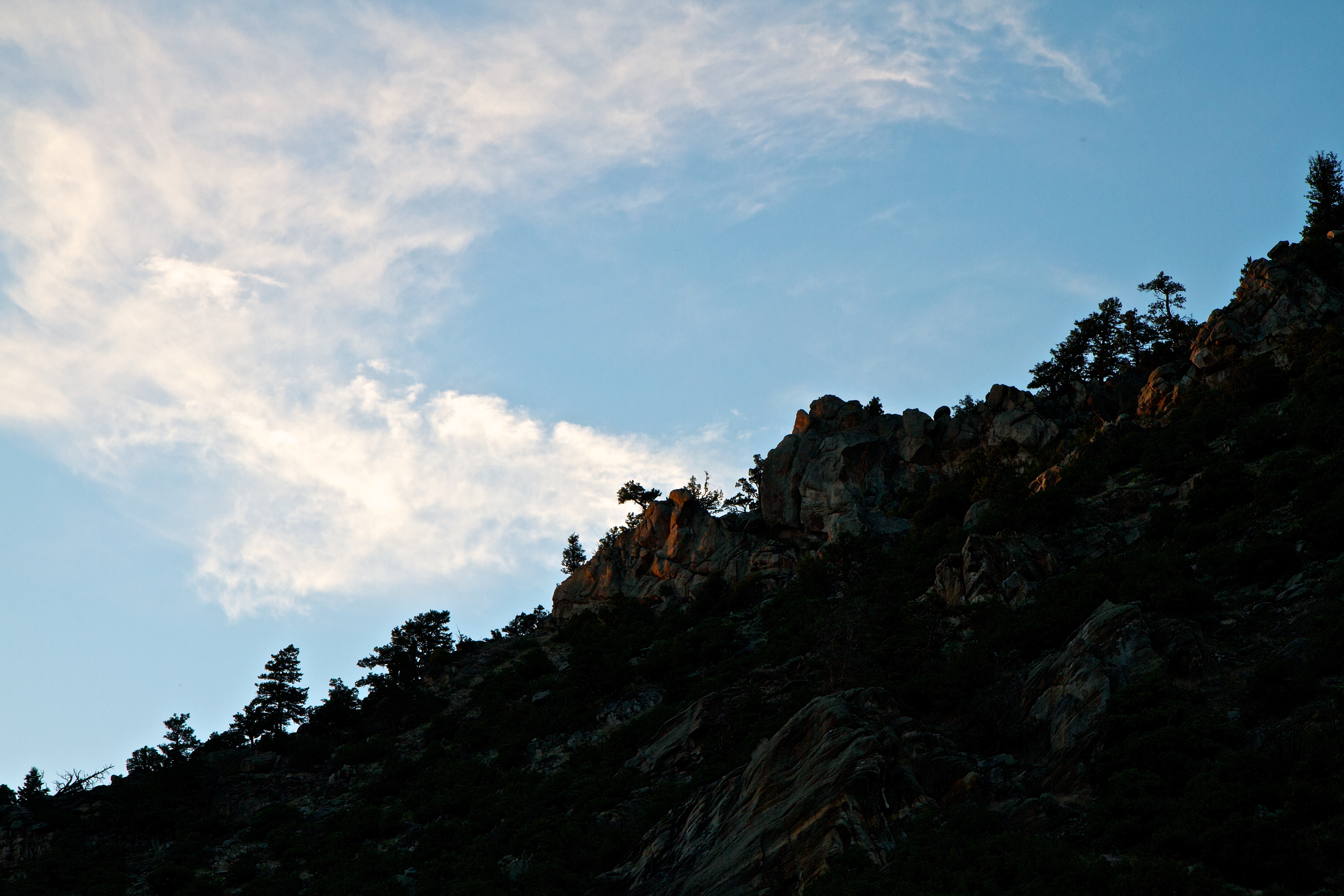
North Platte & Benett Peak
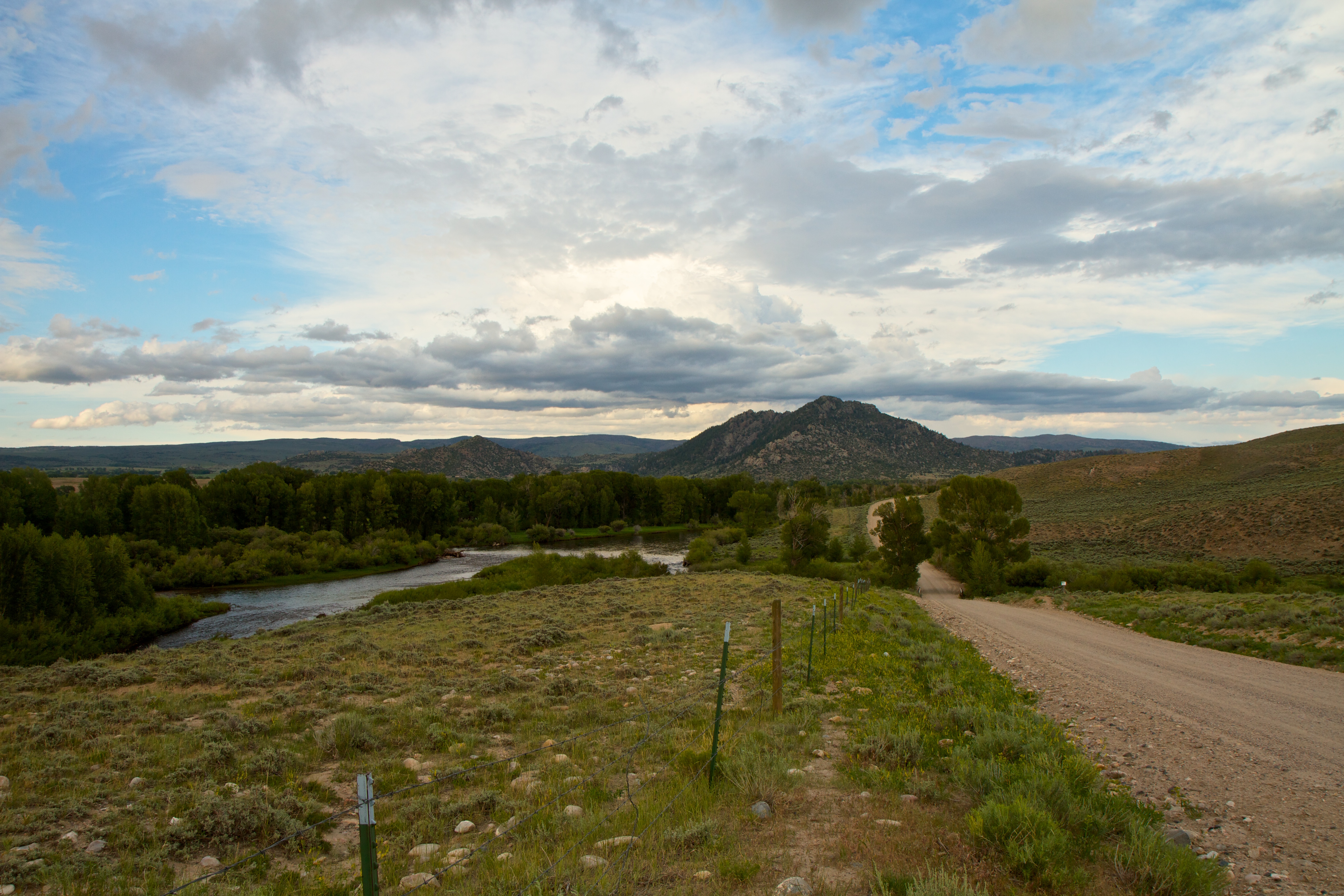
Back on the road to Benett Peak
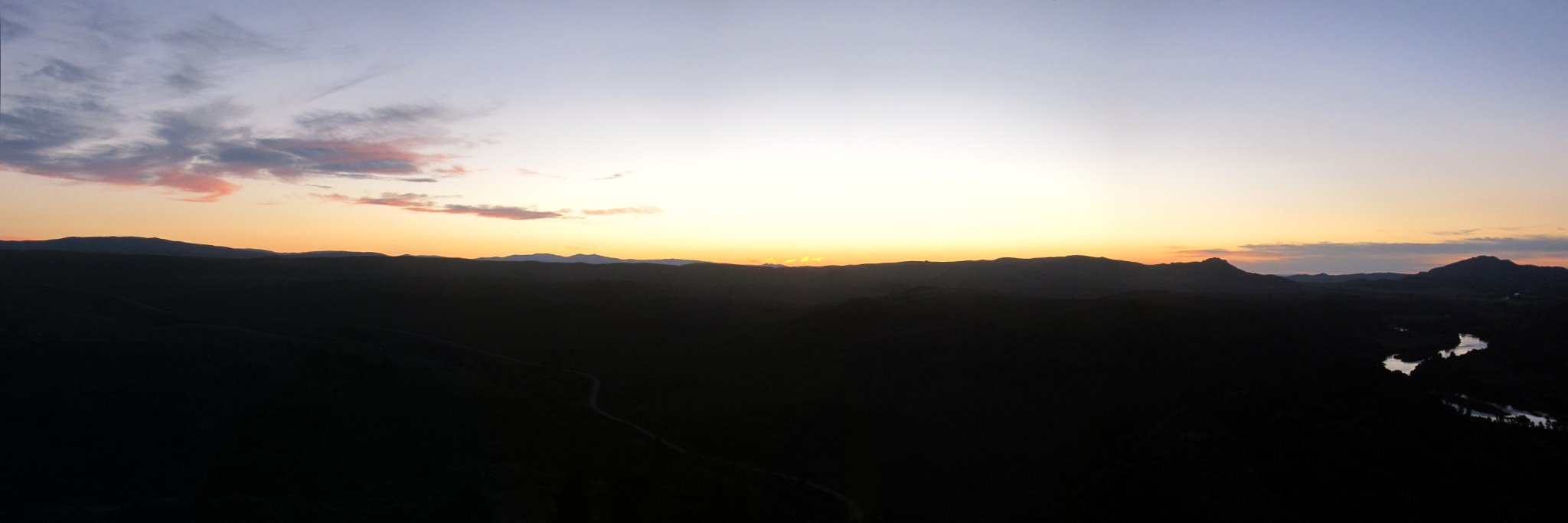
Sunset at Benett Peak
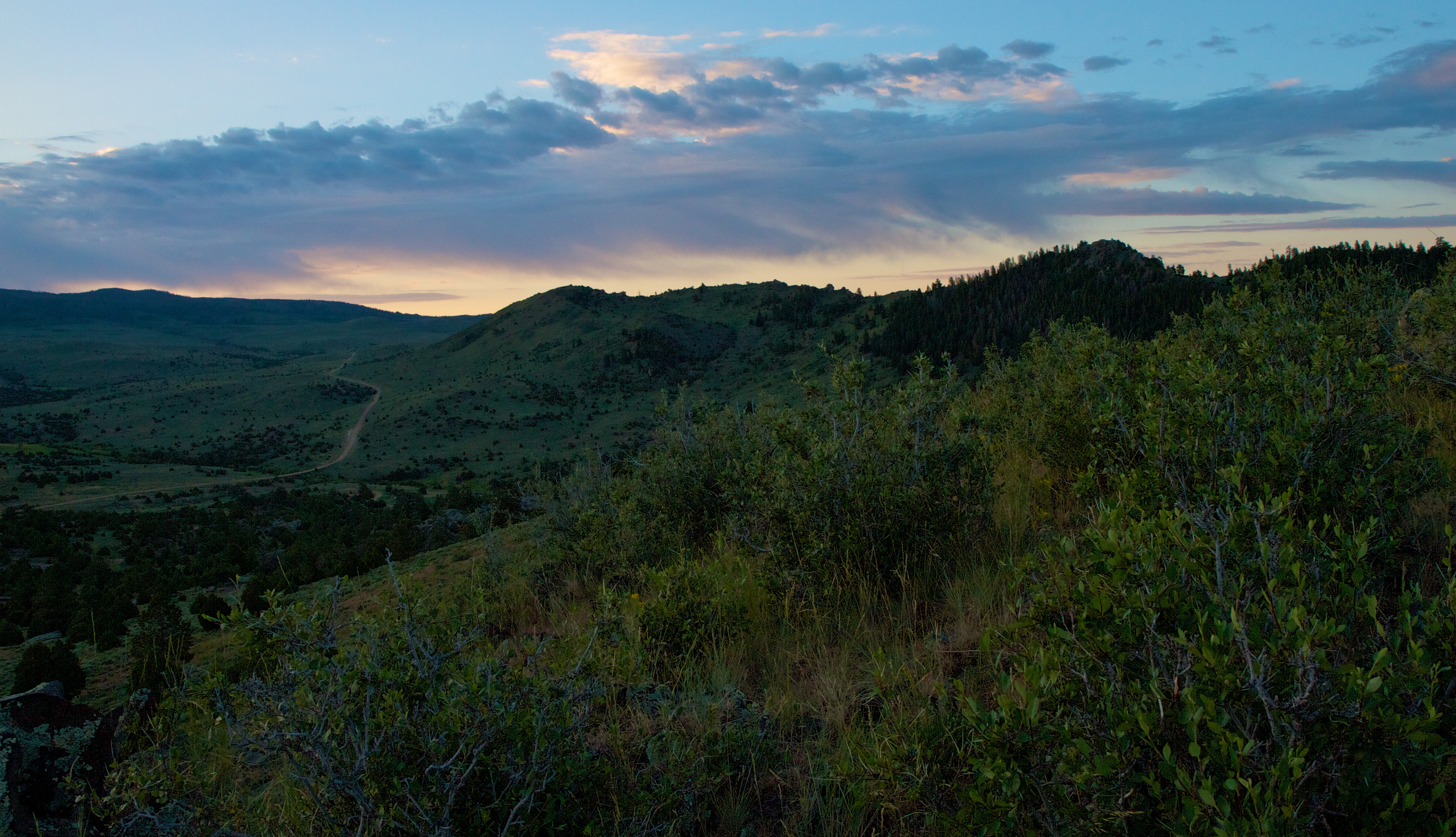
Sunrise across Benett Peak
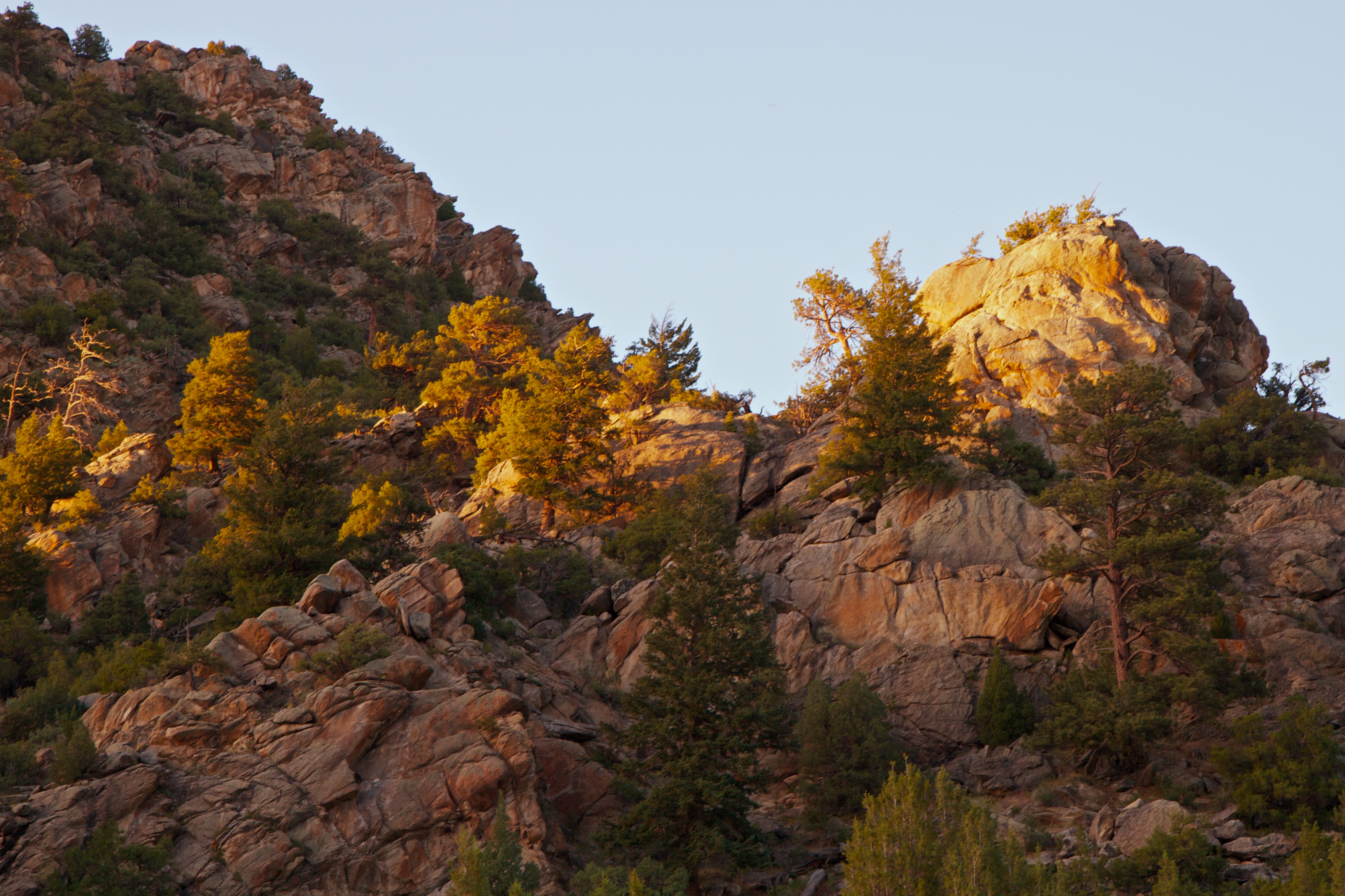
Last sun rays at Benett Peak
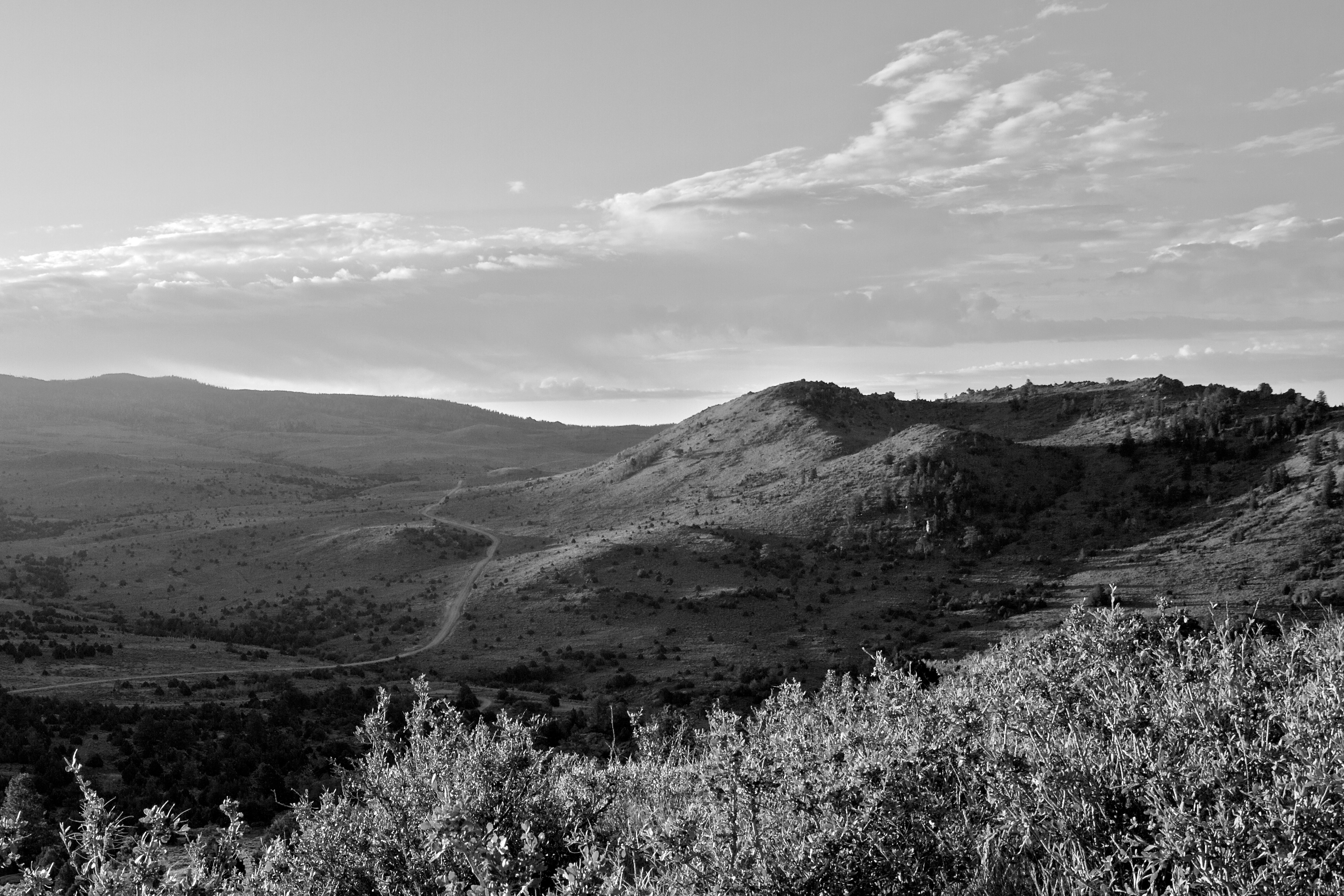
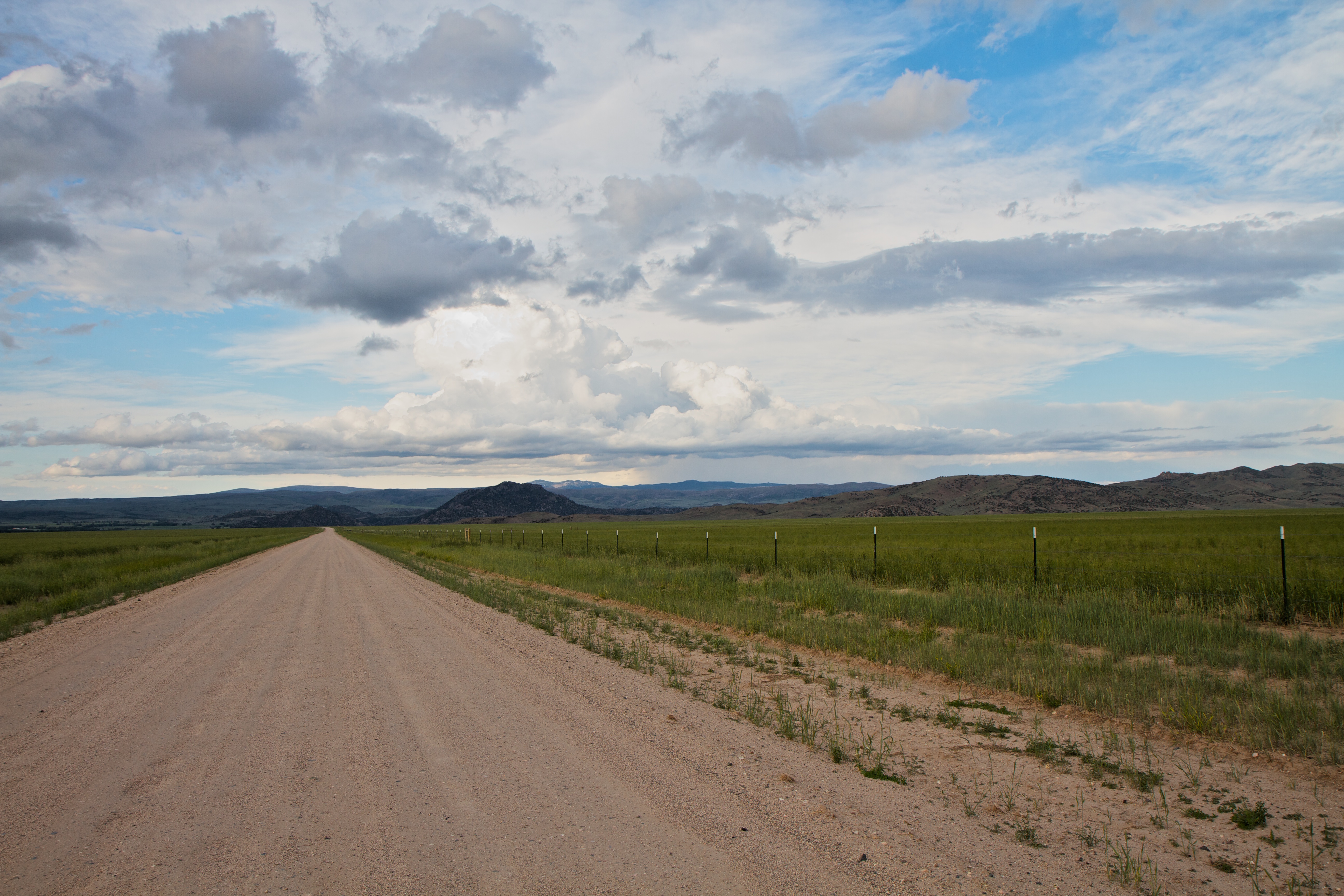
The road to Benett Peak campground at sunrise
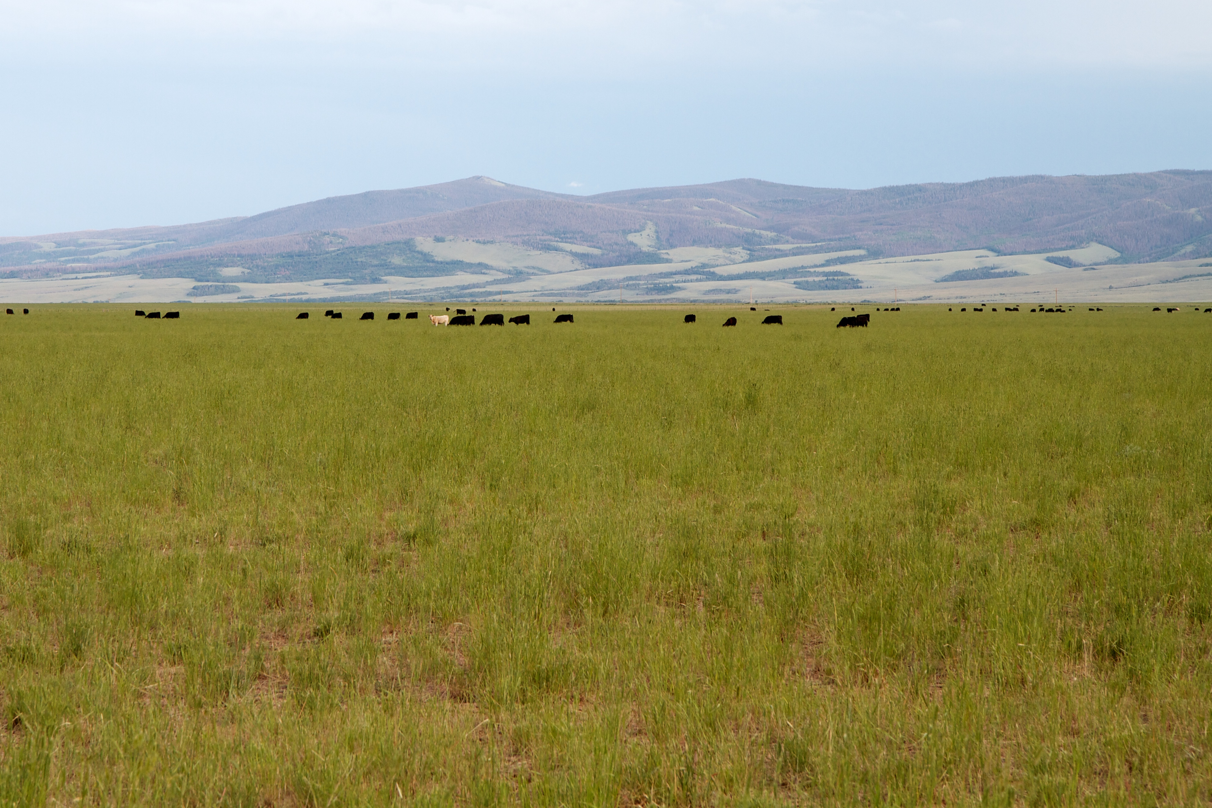
Cows near Encampment
Topographic Map of Bennett Peak, Wyoming, USA
Find elevation by address:

Places near Bennett Peak, Wyoming, USA:
The Lodge & Spa At Brush Creek Ranch
Ryan Park
Barrett Ridge
WY-, Saratoga, WY, USA
110 Fields Ave
Riverside
107 Riverside Ave
Wood Mountain
Bear Mountain
East 4th Street, Encampment, WY, USA
Encampment
Kennaday Peak
Blackhall Mountain
Pennock Mountain
Platte Ridge
Elkhorn Point
Saratoga
Snowy Range
Oberg Pass
Coad Mountain
Recent Searches:
- Elevation of Corso Fratelli Cairoli, 35, Macerata MC, Italy
- Elevation of Tallevast Rd, Sarasota, FL, USA
- Elevation of 4th St E, Sonoma, CA, USA
- Elevation of Black Hollow Rd, Pennsdale, PA, USA
- Elevation of Oakland Ave, Williamsport, PA, USA
- Elevation of Pedrógão Grande, Portugal
- Elevation of Klee Dr, Martinsburg, WV, USA
- Elevation of Via Roma, Pieranica CR, Italy
- Elevation of Tavkvetili Mountain, Georgia
- Elevation of Hartfords Bluff Cir, Mt Pleasant, SC, USA