Elevation of Encampment, WY, USA
Location: United States > Wyoming >
Longitude: -106.80013
Latitude: 41.2060709
Elevation: 2245m / 7365feet
Barometric Pressure: 77KPa
Elevation Map:
Satellite Map:
Related Photos:
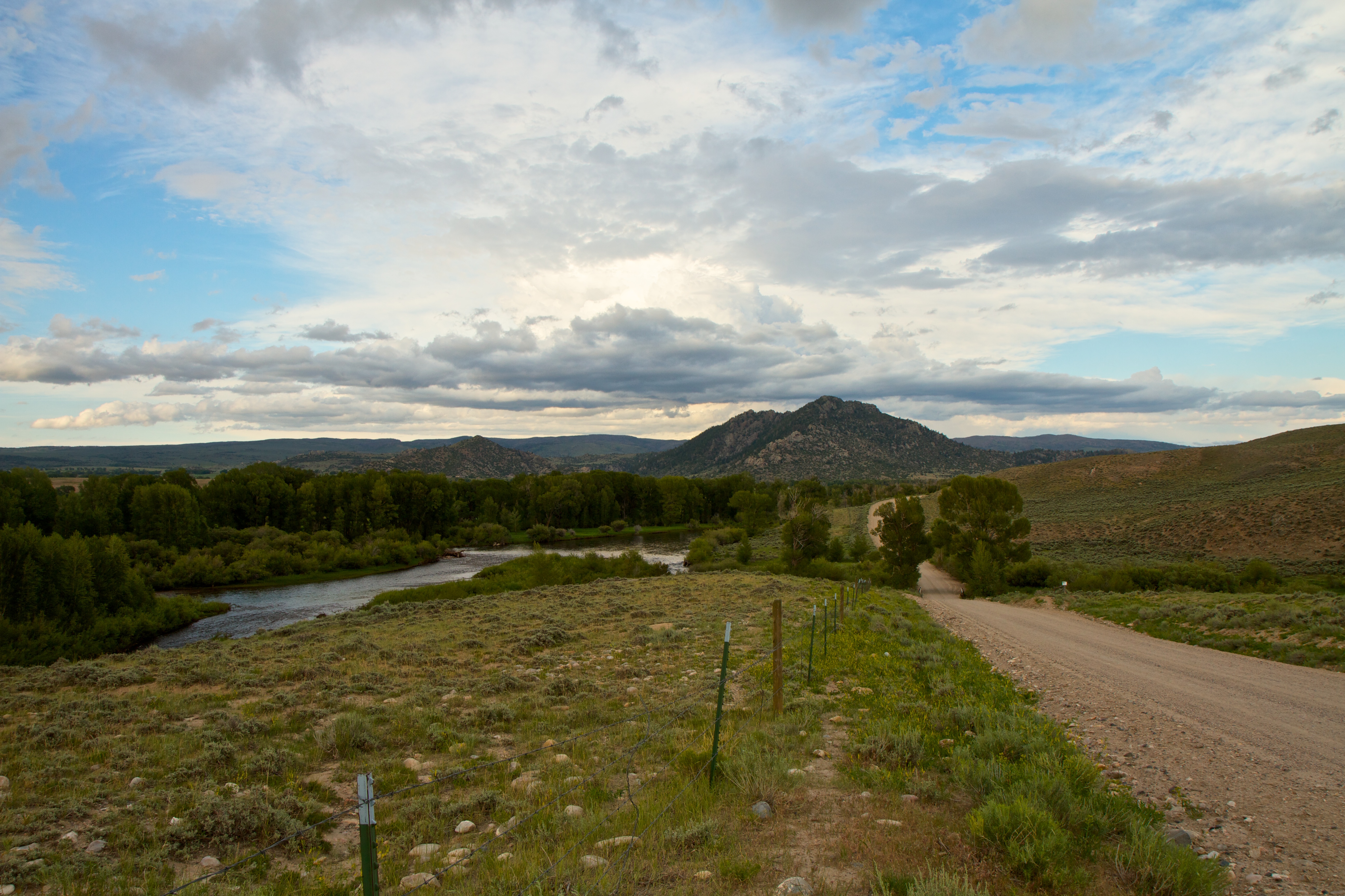
North Platte & Benett Peak

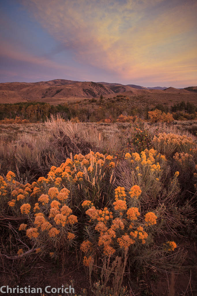
Autumnal Sunrise and Mountain Shadow
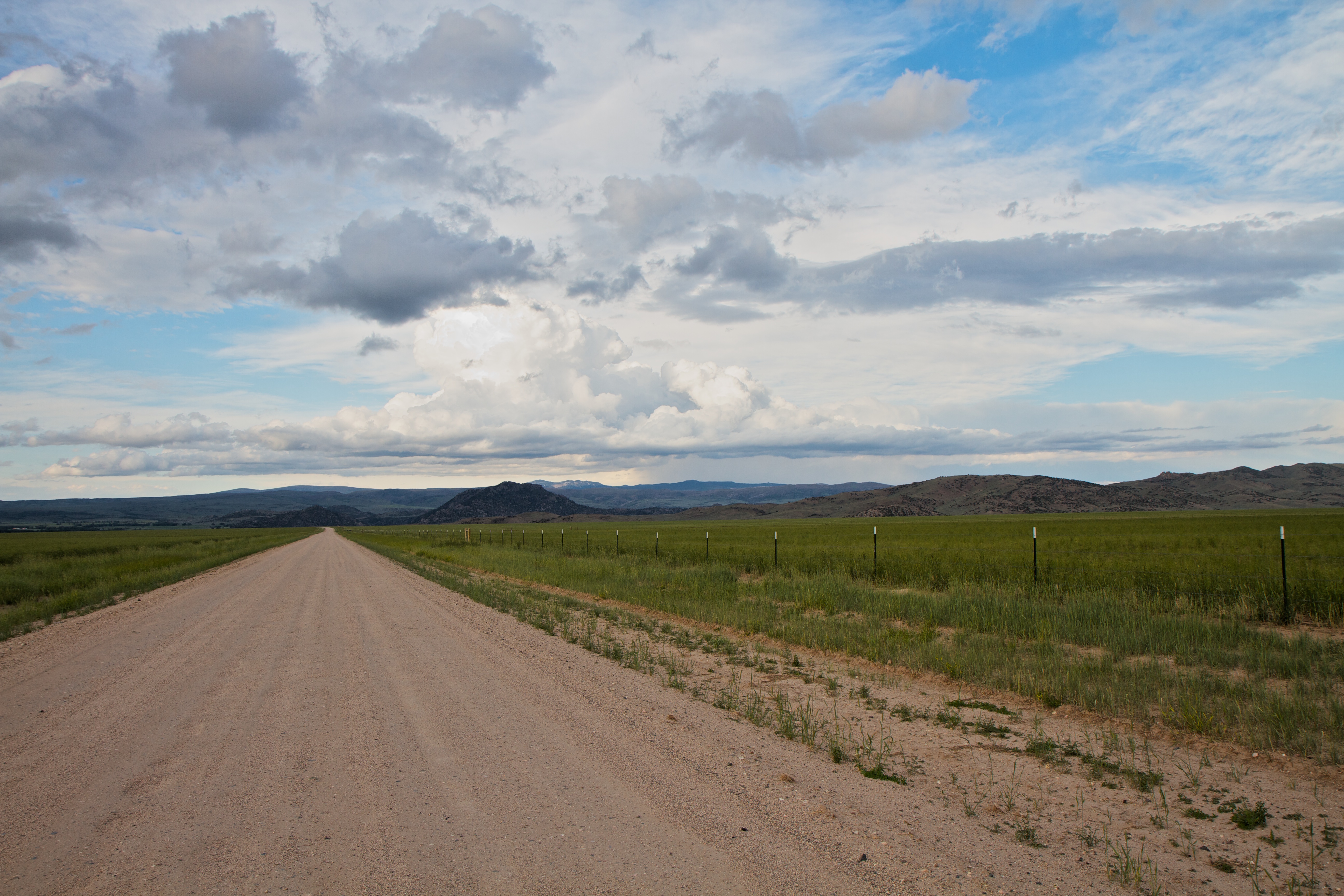
Back on the road to Benett Peak
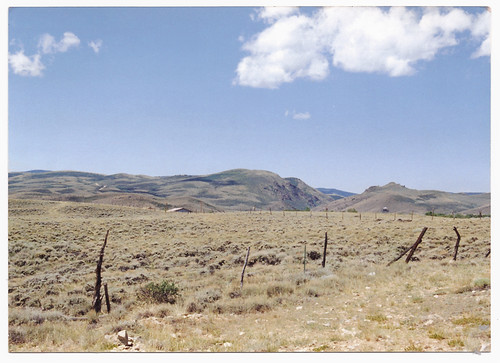
Wyoming 1994
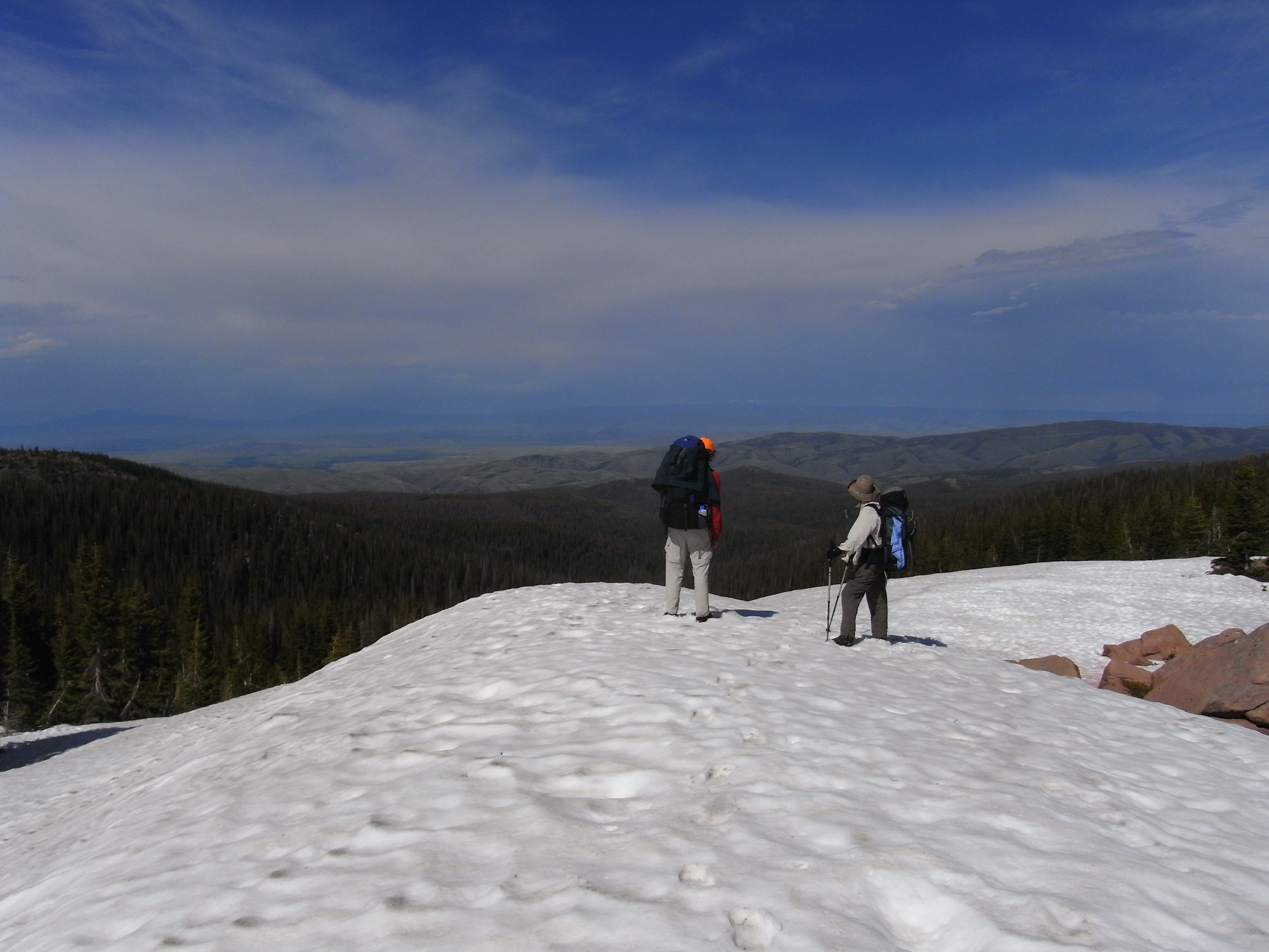
Snow on the Divide
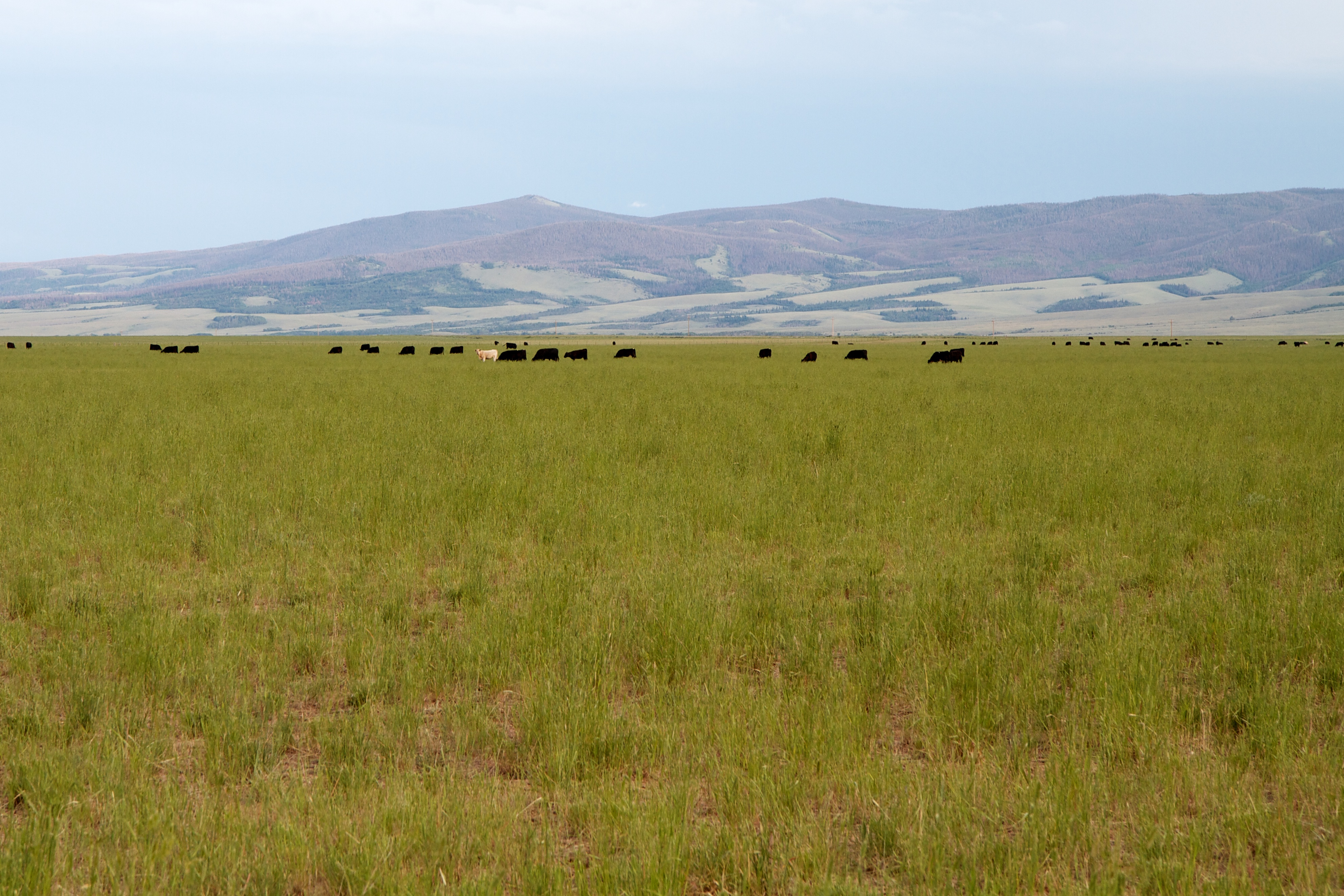
Cows near Encampment
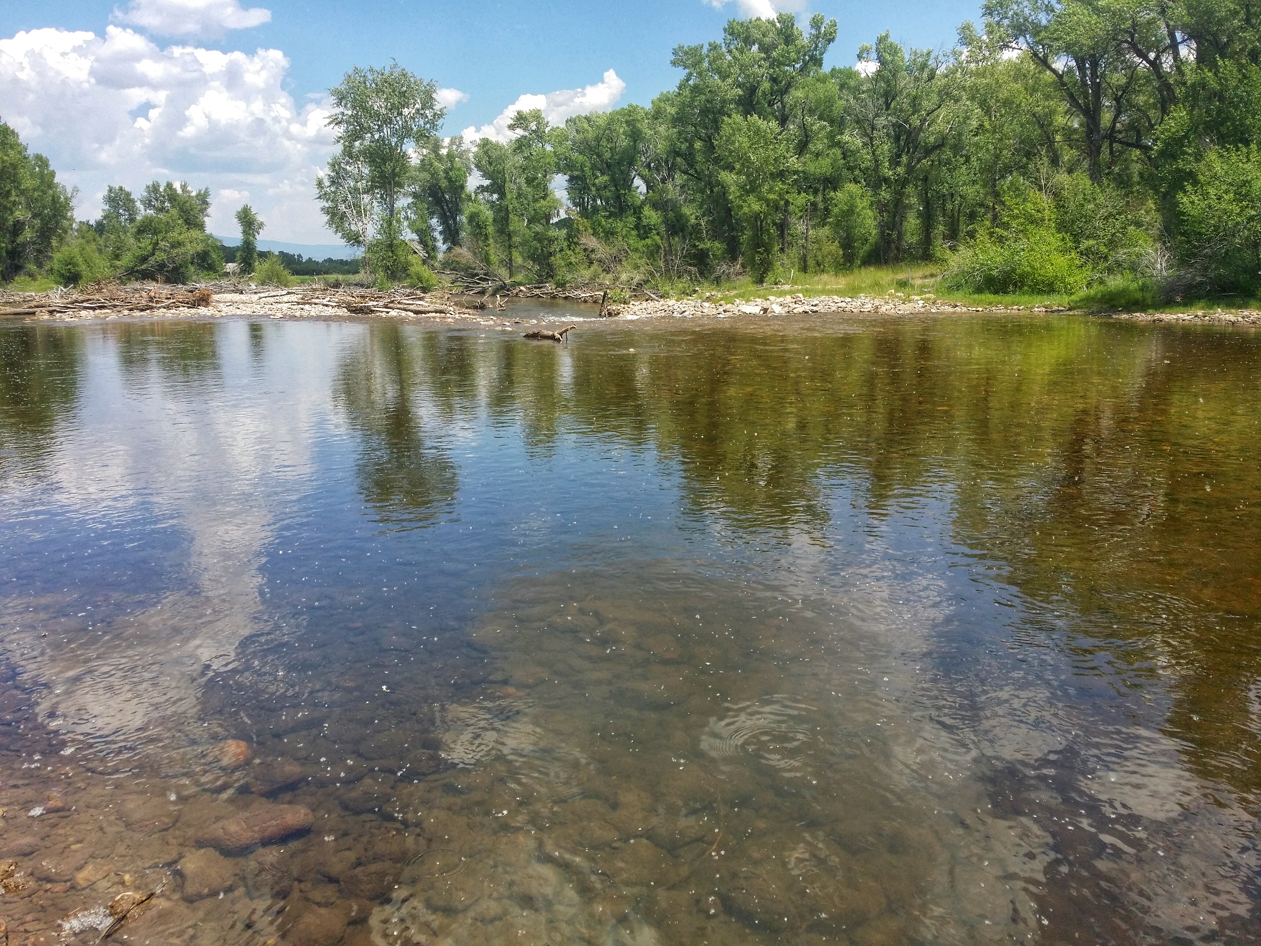
The Encampment River from the campground in Riverside, WY
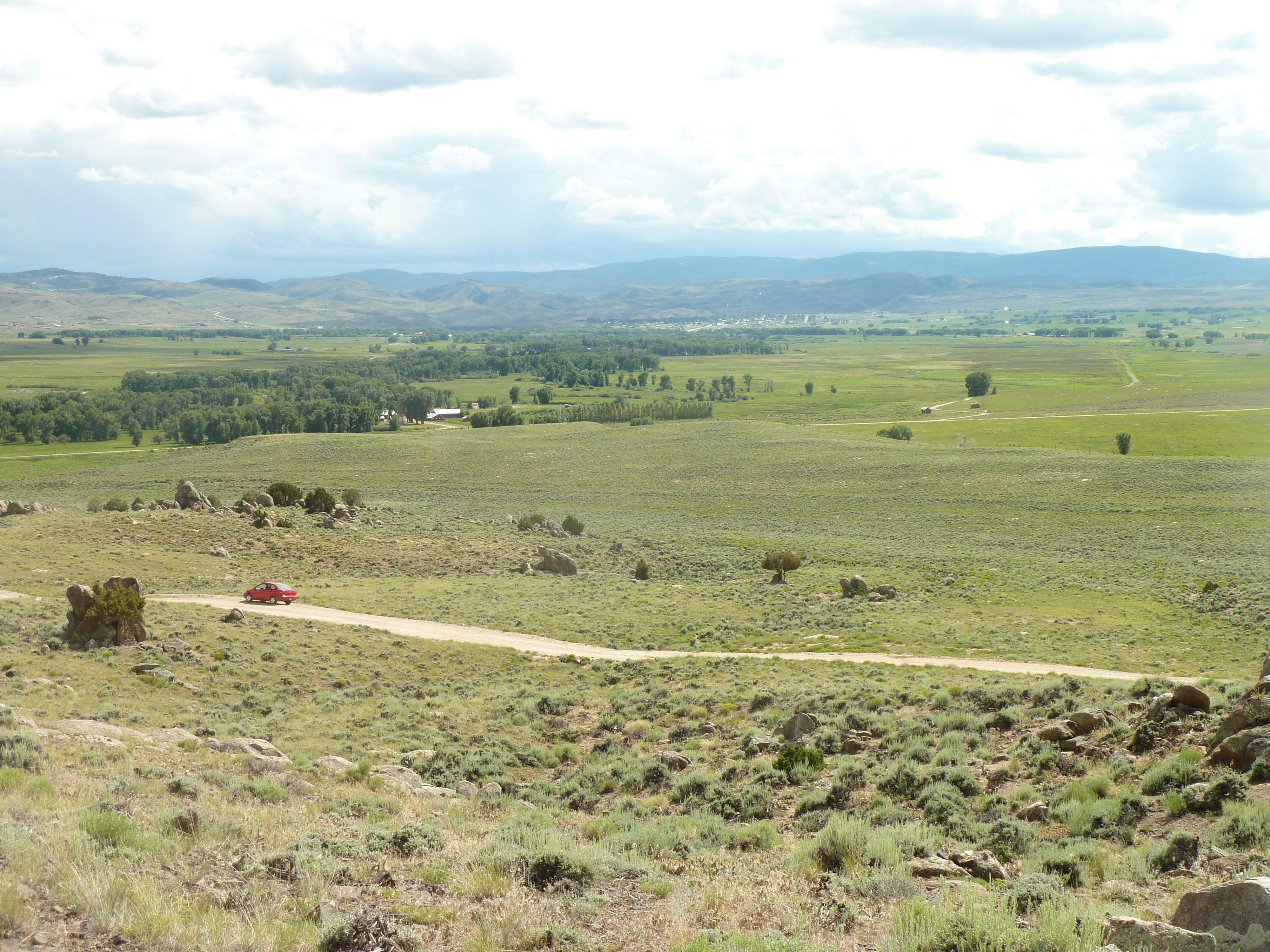
Encampment River Valley
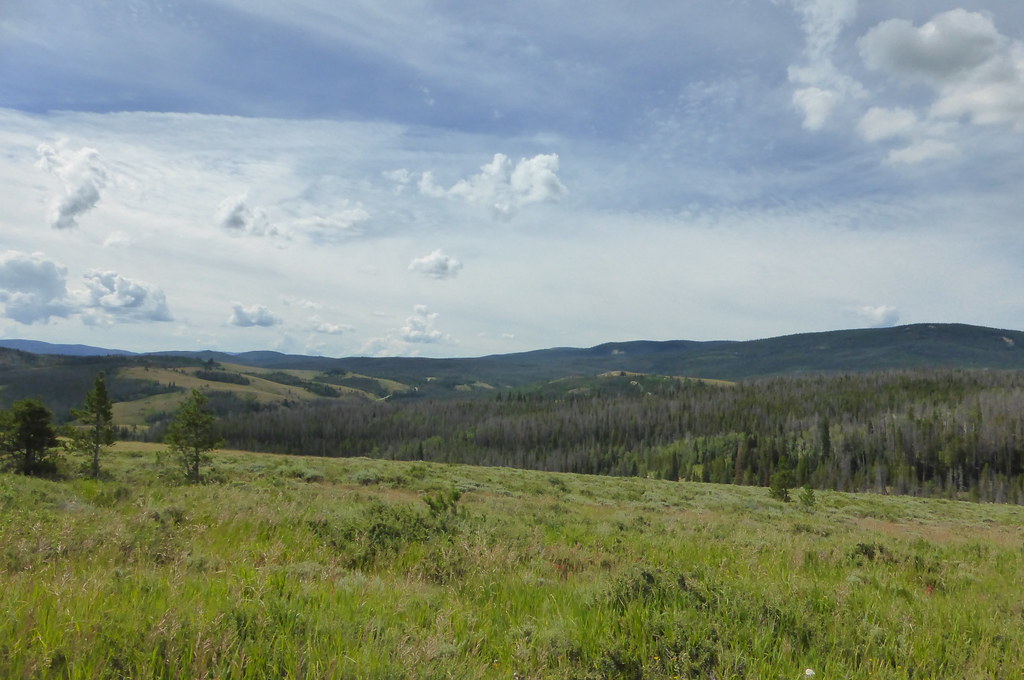
Medicin Bow National Forest
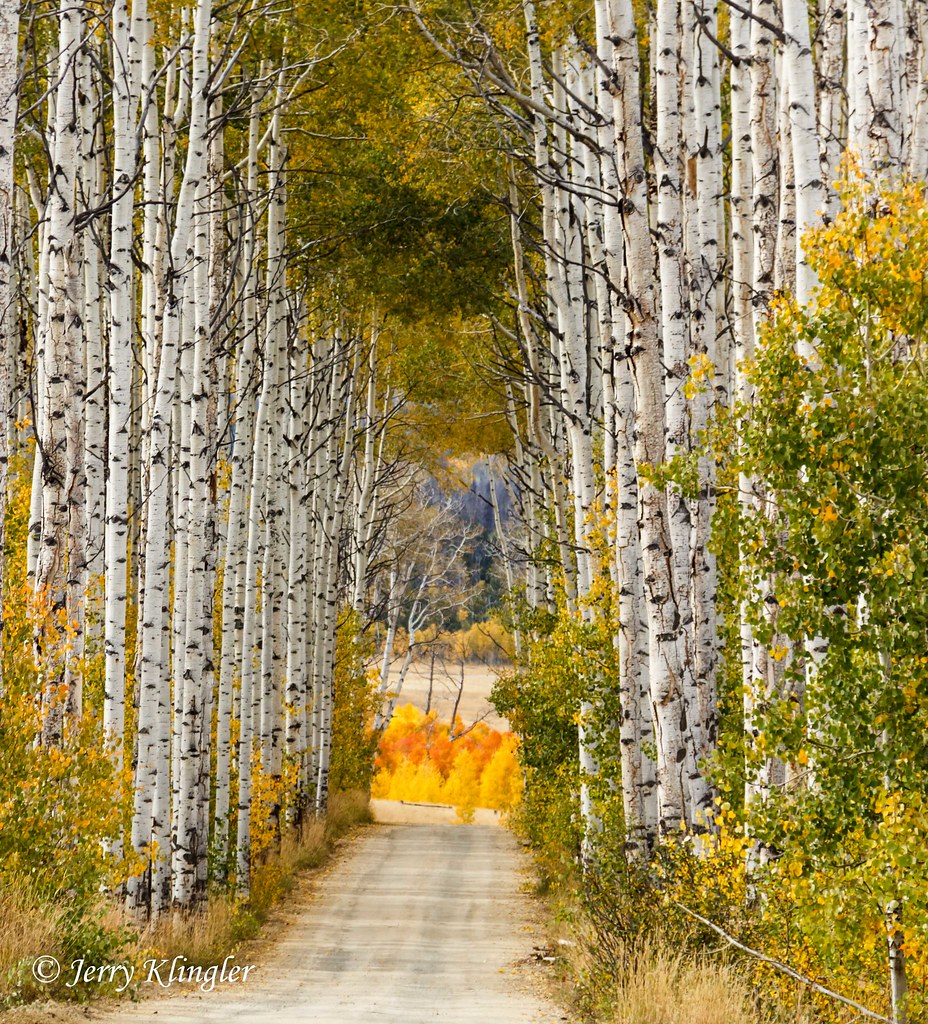
aspen ally
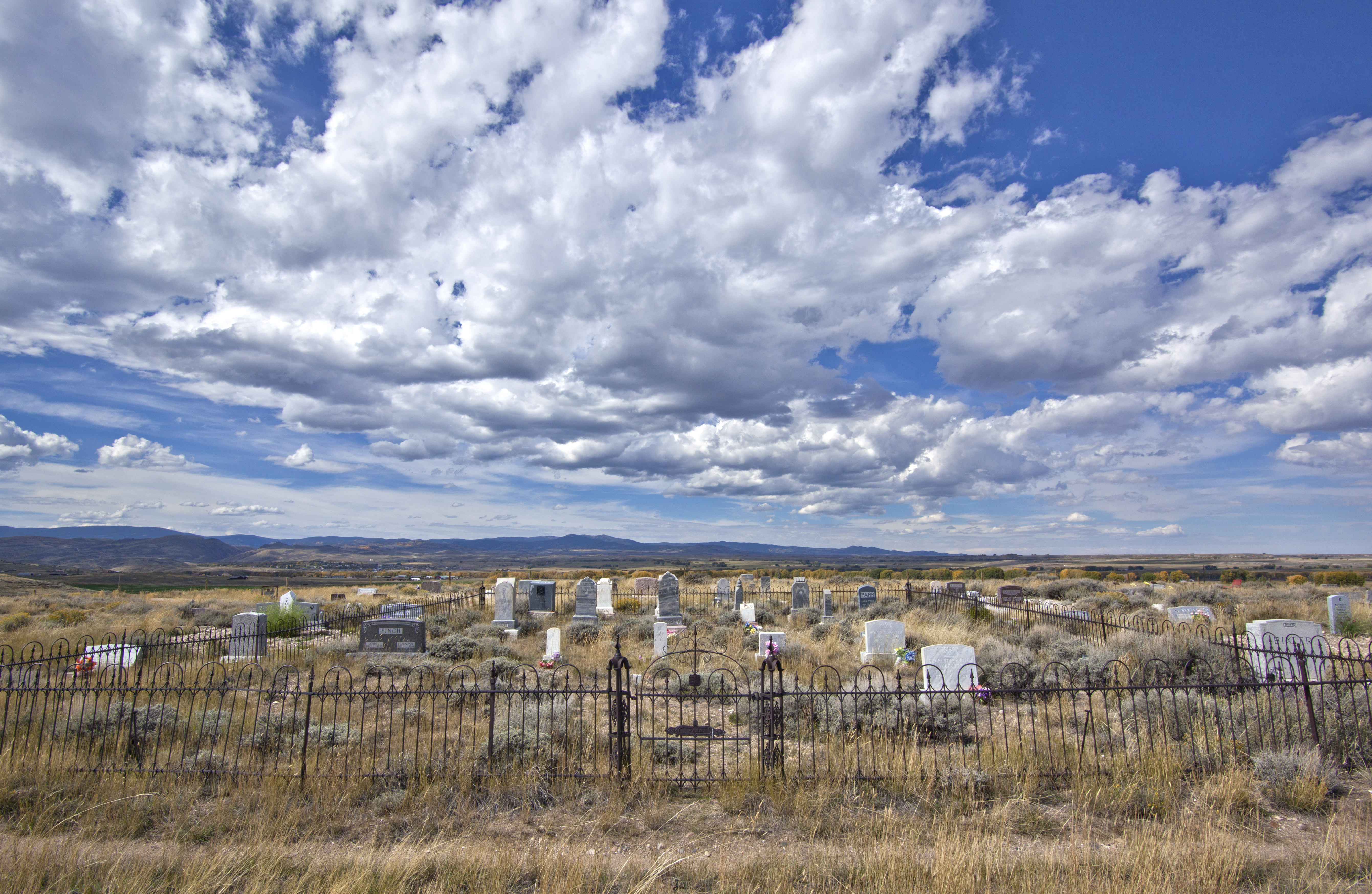
so don't bury me on the lone prairie - i wanna play there live

Apan & Grisen
_MG_0975.jpg

Star of the show

Presbyterian Church - Encampment, WY
Topographic Map of Encampment, WY, USA
Find elevation by address:

Places in Encampment, WY, USA:
Places near Encampment, WY, USA:
East 4th Street, Encampment, WY, USA
107 Riverside Ave
Riverside
110 Fields Ave
Wood Mountain
Hog Park Campground
Bennett Peak
Blackhall Mountain
Bear Mountain
The Lodge & Spa At Brush Creek Ranch
Saratoga
Buffalo Ridge
Davis Peak
WY-, Saratoga, WY, USA
Ryan Park
Barrett Ridge
Big Creek Lakes Campground
Red Elephant Mountain
Kennaday Peak
Pennock Mountain
Recent Searches:
- Elevation of Corso Fratelli Cairoli, 35, Macerata MC, Italy
- Elevation of Tallevast Rd, Sarasota, FL, USA
- Elevation of 4th St E, Sonoma, CA, USA
- Elevation of Black Hollow Rd, Pennsdale, PA, USA
- Elevation of Oakland Ave, Williamsport, PA, USA
- Elevation of Pedrógão Grande, Portugal
- Elevation of Klee Dr, Martinsburg, WV, USA
- Elevation of Via Roma, Pieranica CR, Italy
- Elevation of Tavkvetili Mountain, Georgia
- Elevation of Hartfords Bluff Cir, Mt Pleasant, SC, USA