Elevation of Kennaday Peak, Wyoming, USA
Location: United States > Wyoming > Carbon County >
Longitude: -106.51752
Latitude: 41.4524659
Elevation: 3249m / 10659feet
Barometric Pressure: 68KPa
Elevation Map:
Satellite Map:
Related Photos:
IMG_1534
IMG_1483
IMG_1484
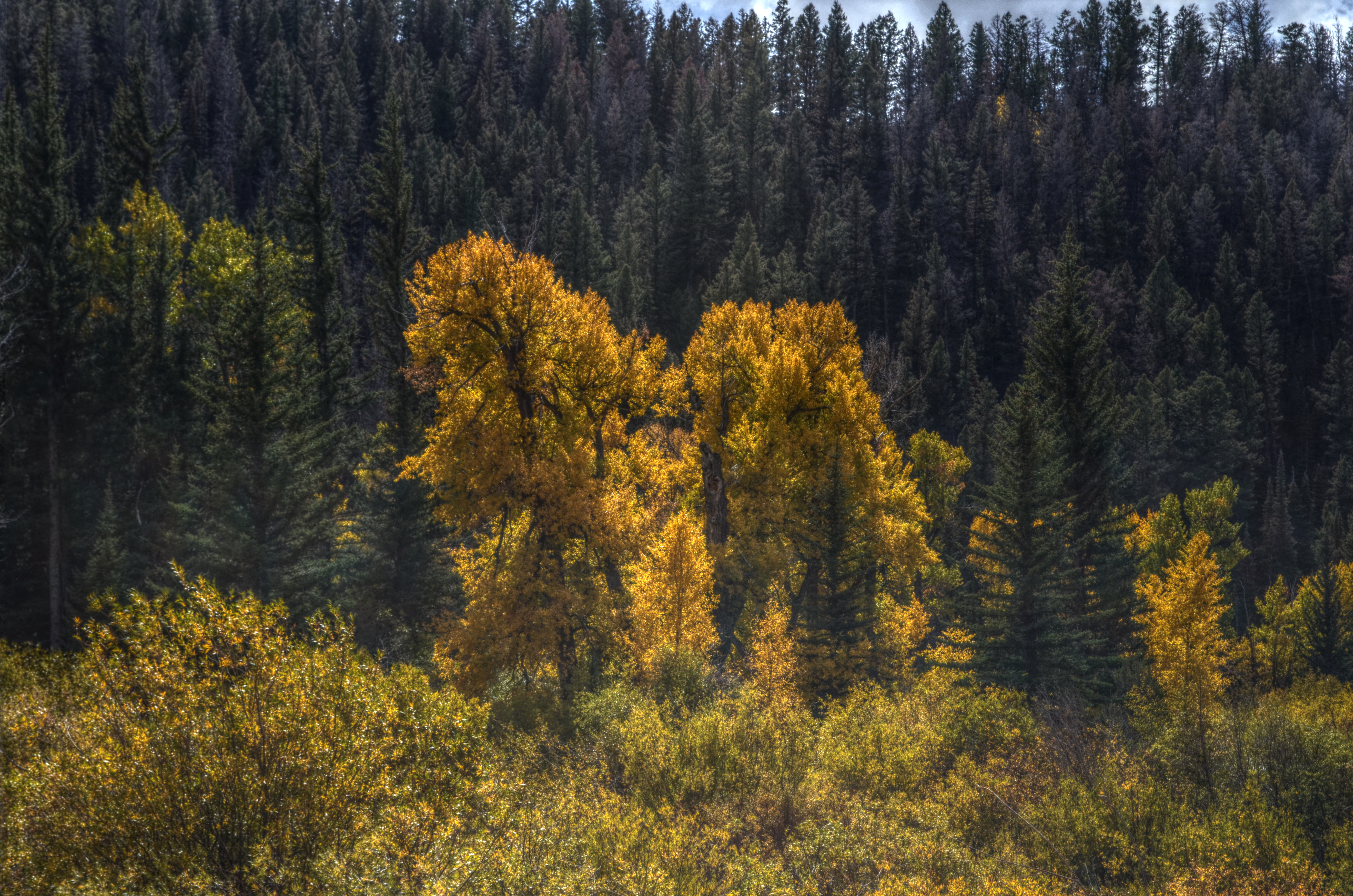
Autumn in the Mountains
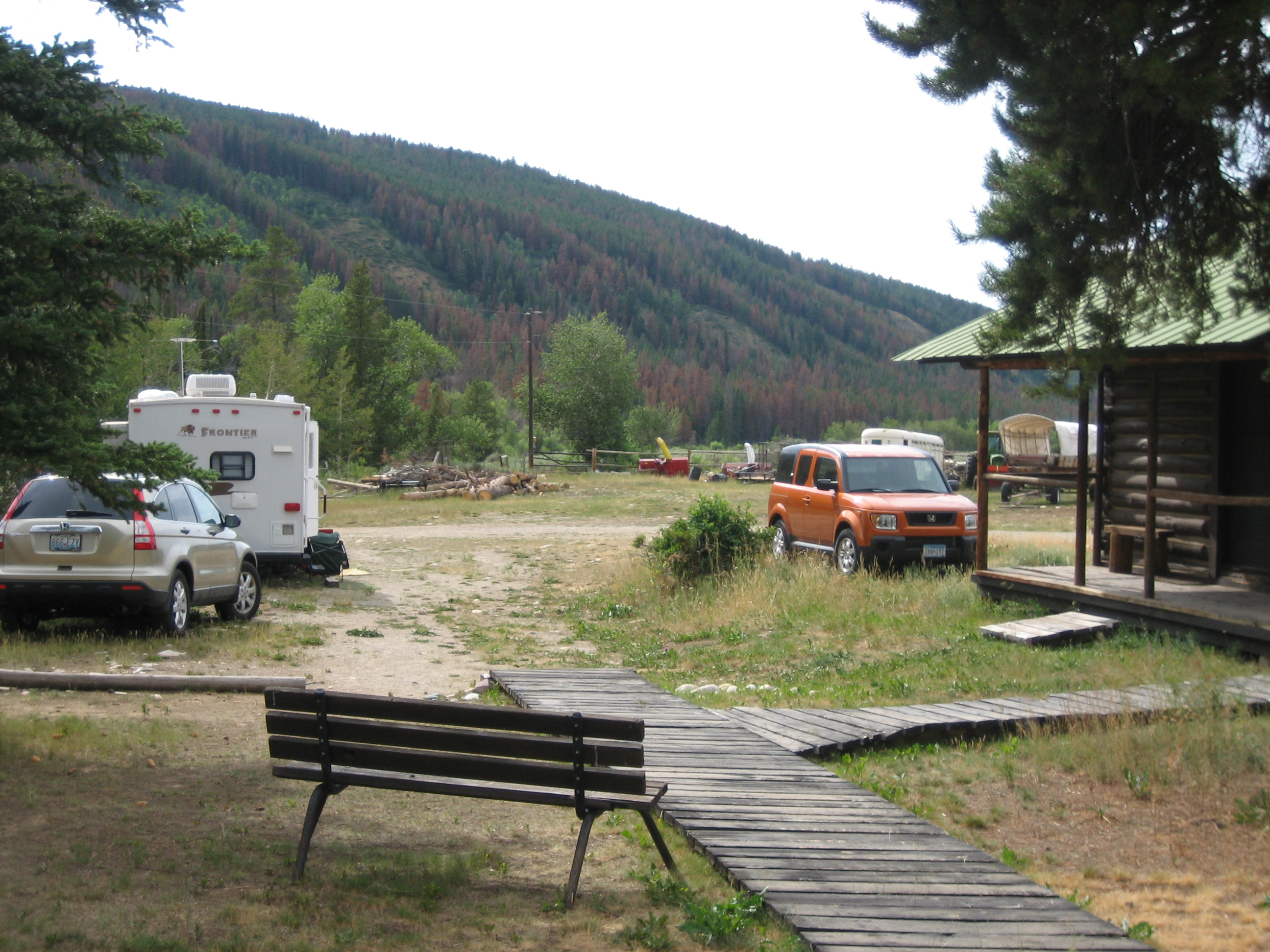
Stillwater Park

Evening on the Medicine Bow

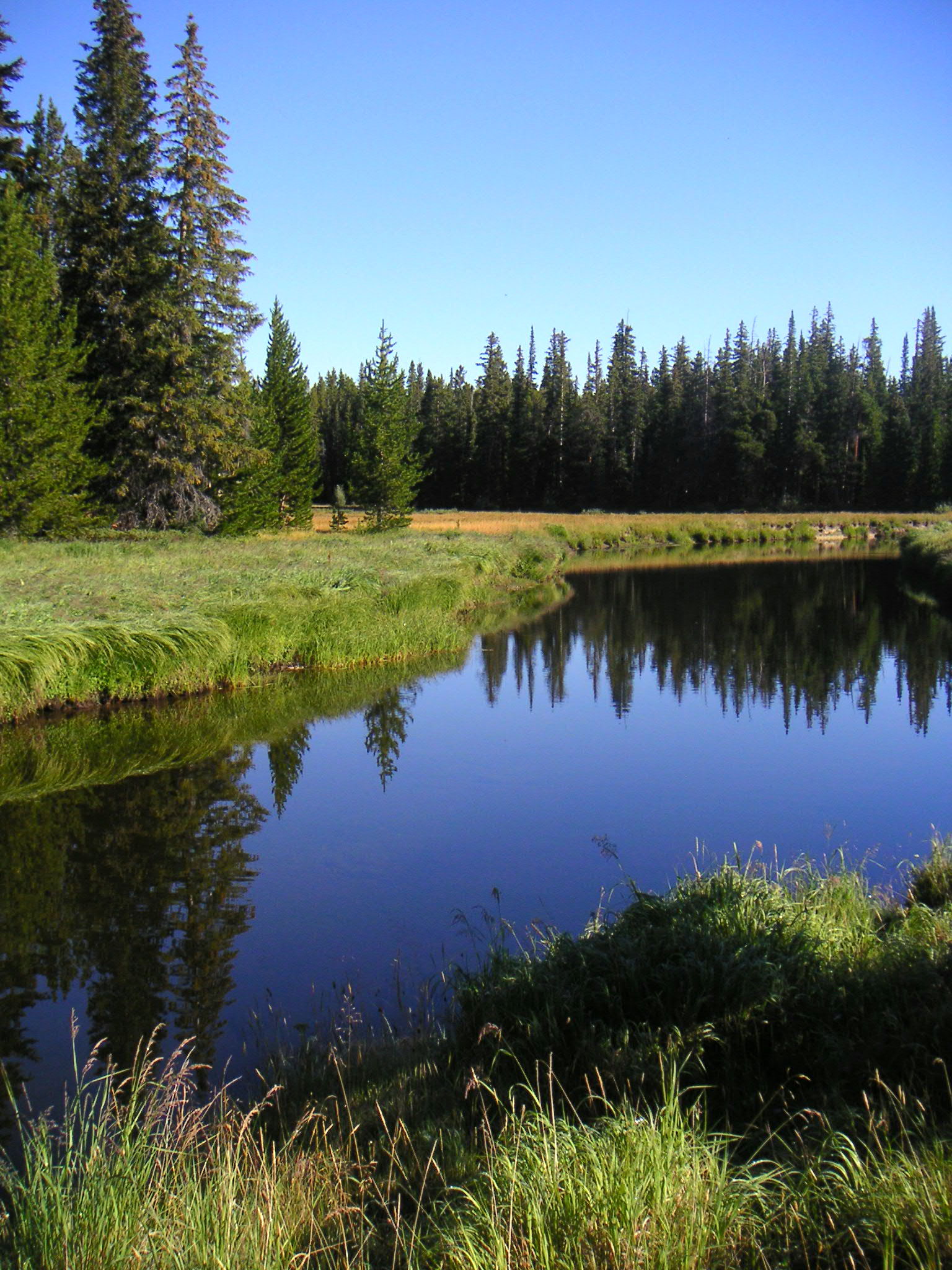
Medicine Bow river near campgrounds - Medicine Bow Forest Wyoming

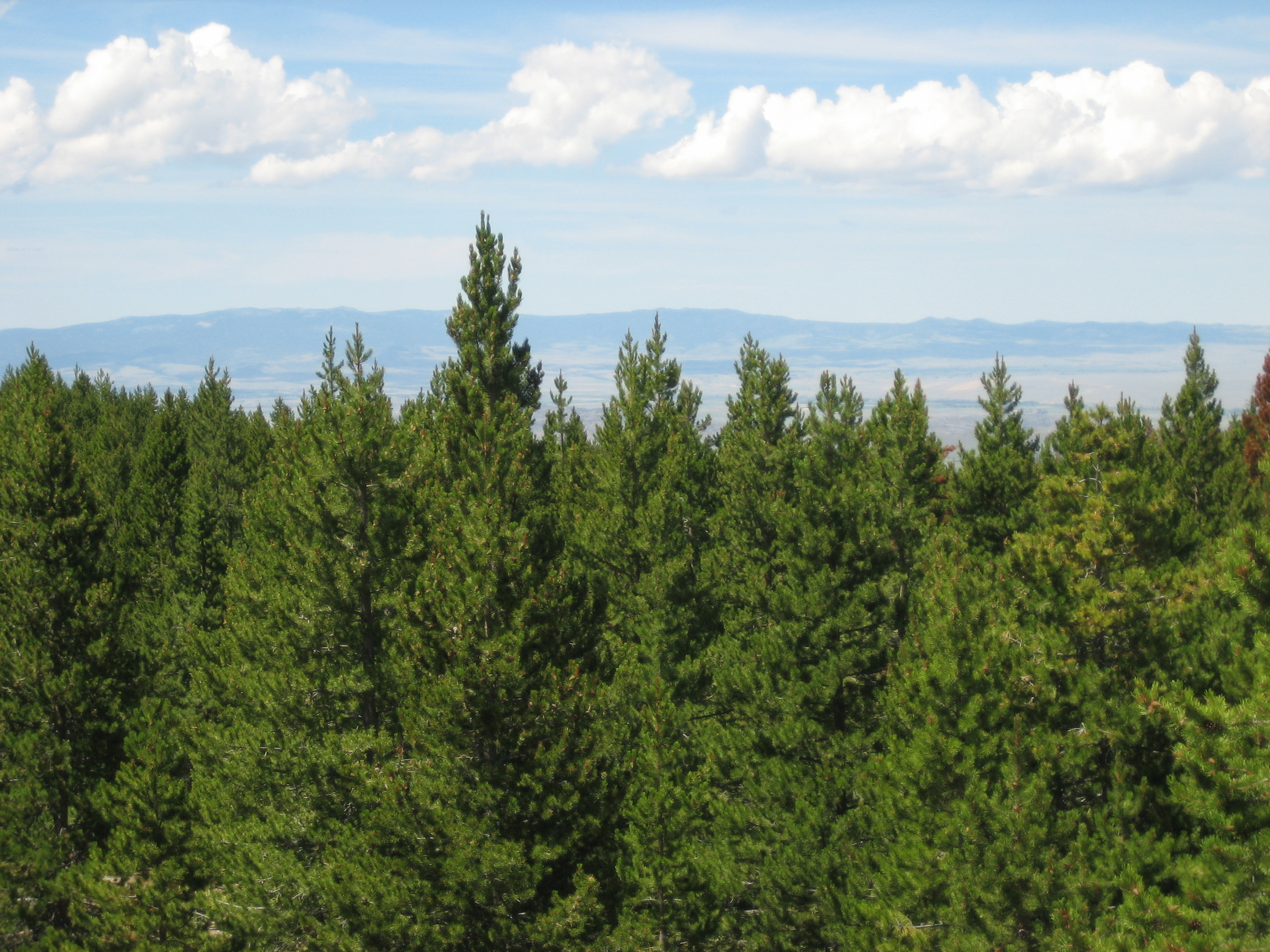
Overlook spot 3 - Medicine Bow Forest Wyoming

Overlook spot 5 - Medicine Bow Forest Wyoming

Overlook spot 6 - Medicine Bow Forest Wyoming

Overlook spot 4 - Medicine Bow Forest Wyoming

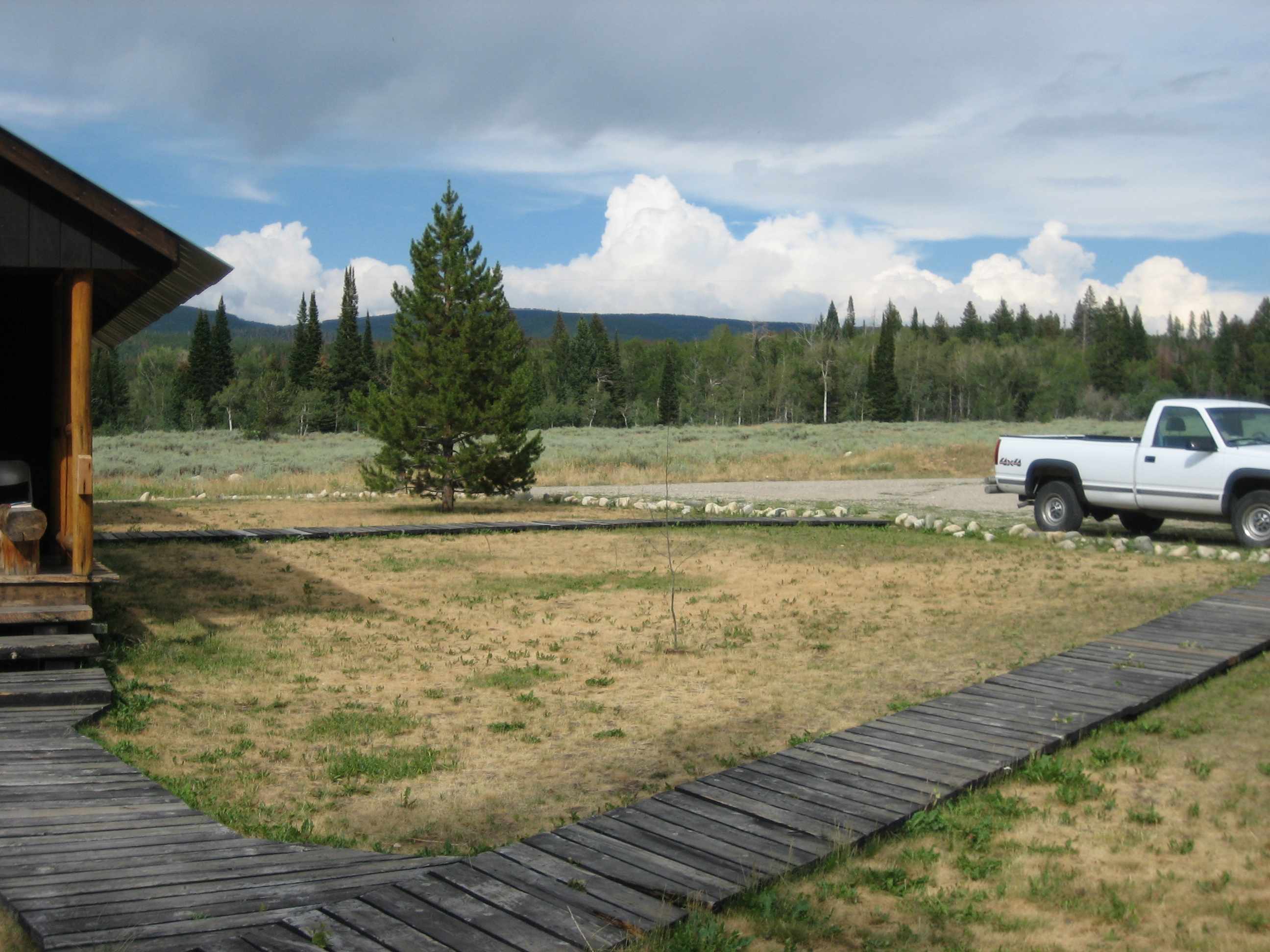
Meadow 2 - Medicine Bow Forest Wyoming
Topographic Map of Kennaday Peak, Wyoming, USA
Find elevation by address:

Places near Kennaday Peak, Wyoming, USA:
Pennock Mountain
WY-, Saratoga, WY, USA
Oberg Pass
Ryan Park
Coad Mountain
Barrett Ridge
The Lodge & Spa At Brush Creek Ranch
Elk Mountain
Bennett Peak
Snowy Range
Sugarloaf Mountain
Sheephead Mountain
Sugarloaf Campground
Browns Peak
Elk Mountain
Libby Flats
Saratoga
St. Alban's Open Air Chapel
Halleck Ridge
Rock Mountain
Recent Searches:
- Elevation of Corso Fratelli Cairoli, 35, Macerata MC, Italy
- Elevation of Tallevast Rd, Sarasota, FL, USA
- Elevation of 4th St E, Sonoma, CA, USA
- Elevation of Black Hollow Rd, Pennsdale, PA, USA
- Elevation of Oakland Ave, Williamsport, PA, USA
- Elevation of Pedrógão Grande, Portugal
- Elevation of Klee Dr, Martinsburg, WV, USA
- Elevation of Via Roma, Pieranica CR, Italy
- Elevation of Tavkvetili Mountain, Georgia
- Elevation of Hartfords Bluff Cir, Mt Pleasant, SC, USA