Elevation of Platte Ridge, Wyoming, USA
Location: United States > Wyoming > Carbon County >
Longitude: -106.38972
Latitude: 41.1047222
Elevation: 2745m / 9006feet
Barometric Pressure: 72KPa
Elevation Map:
Satellite Map:
Related Photos:
Big Creek Ranch
2011-08 - A Bar A Ranch with Rachel-052

2011-08 - A Bar A Ranch with Rachel-052
2011-08 - A Bar A Ranch with Rachel-008
DSC_3249.JPG
1406 Almost back to the Six Mile Gap Campground

Rocky Mountain Columbine in Medicine Bow Nat. Forest
DSC_3252.JPG
Blue Ribbon Fishing (w/out fish) - Northgate Canyon, Colorado

2011-08 - A Bar A Ranch with Rachel-004
Sunrise on the Platte
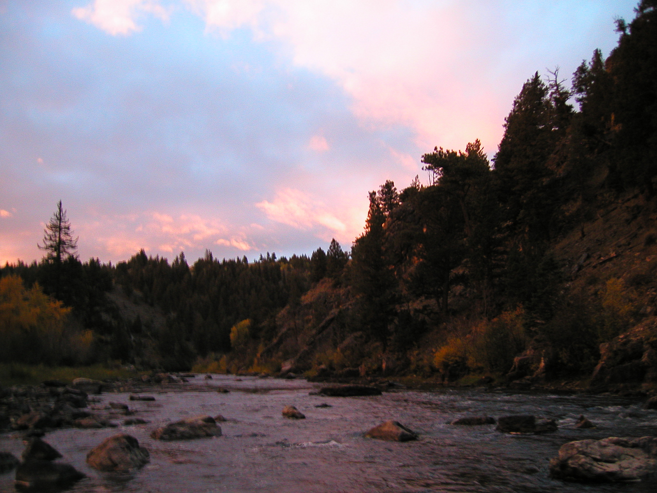
Sunrise on the Platte

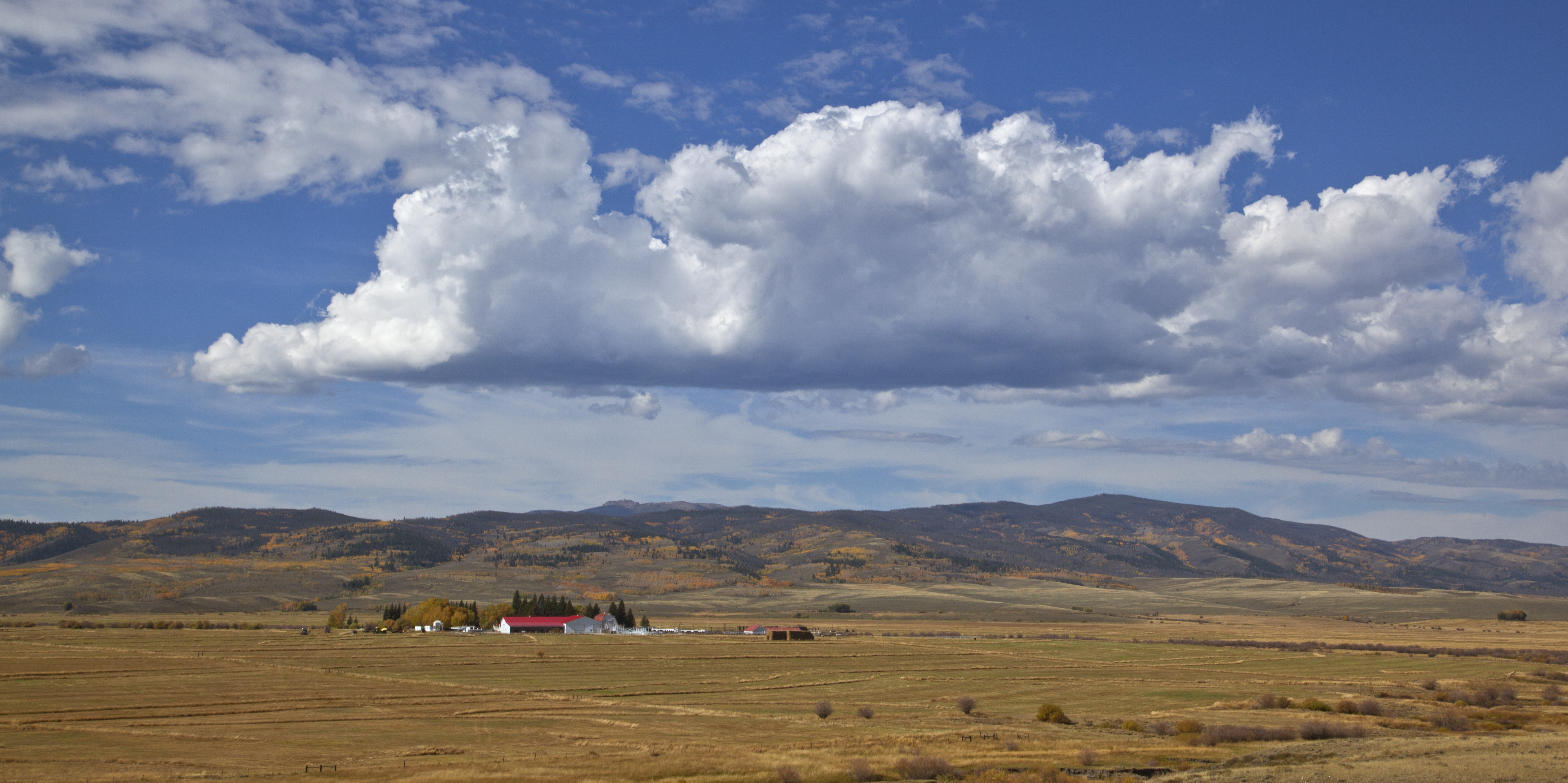
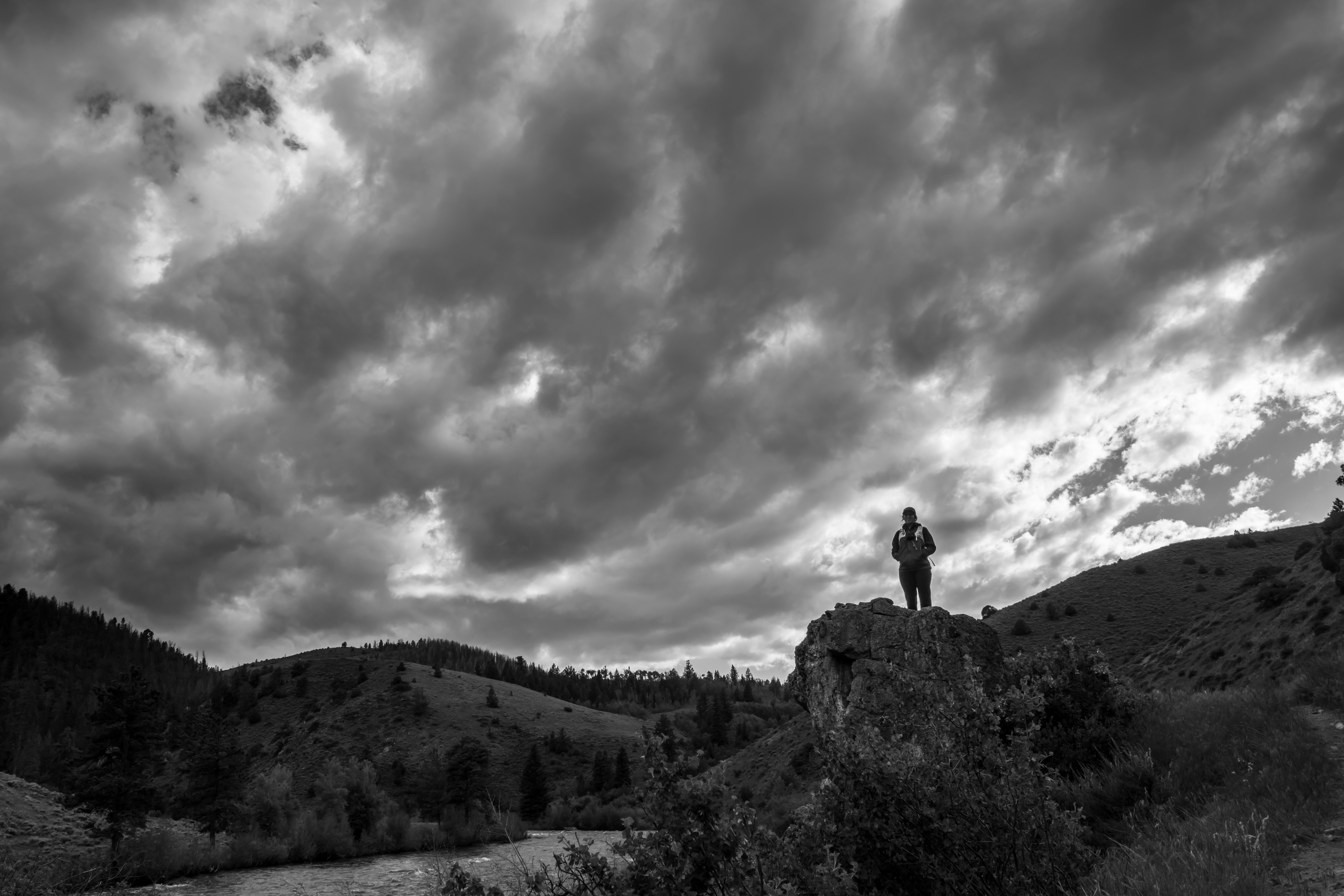
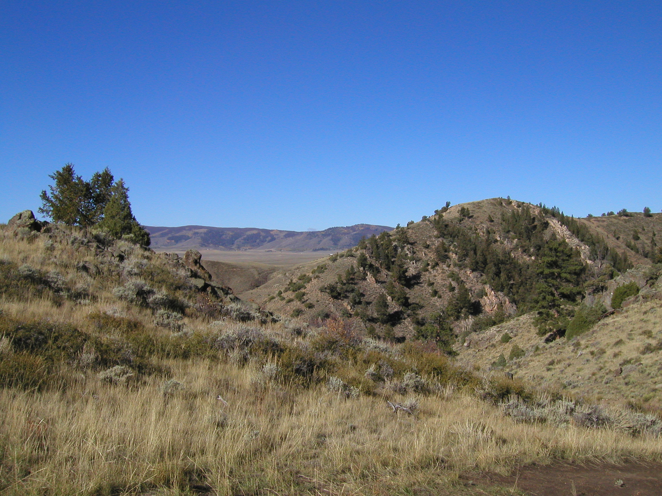
Wyoming Landscape
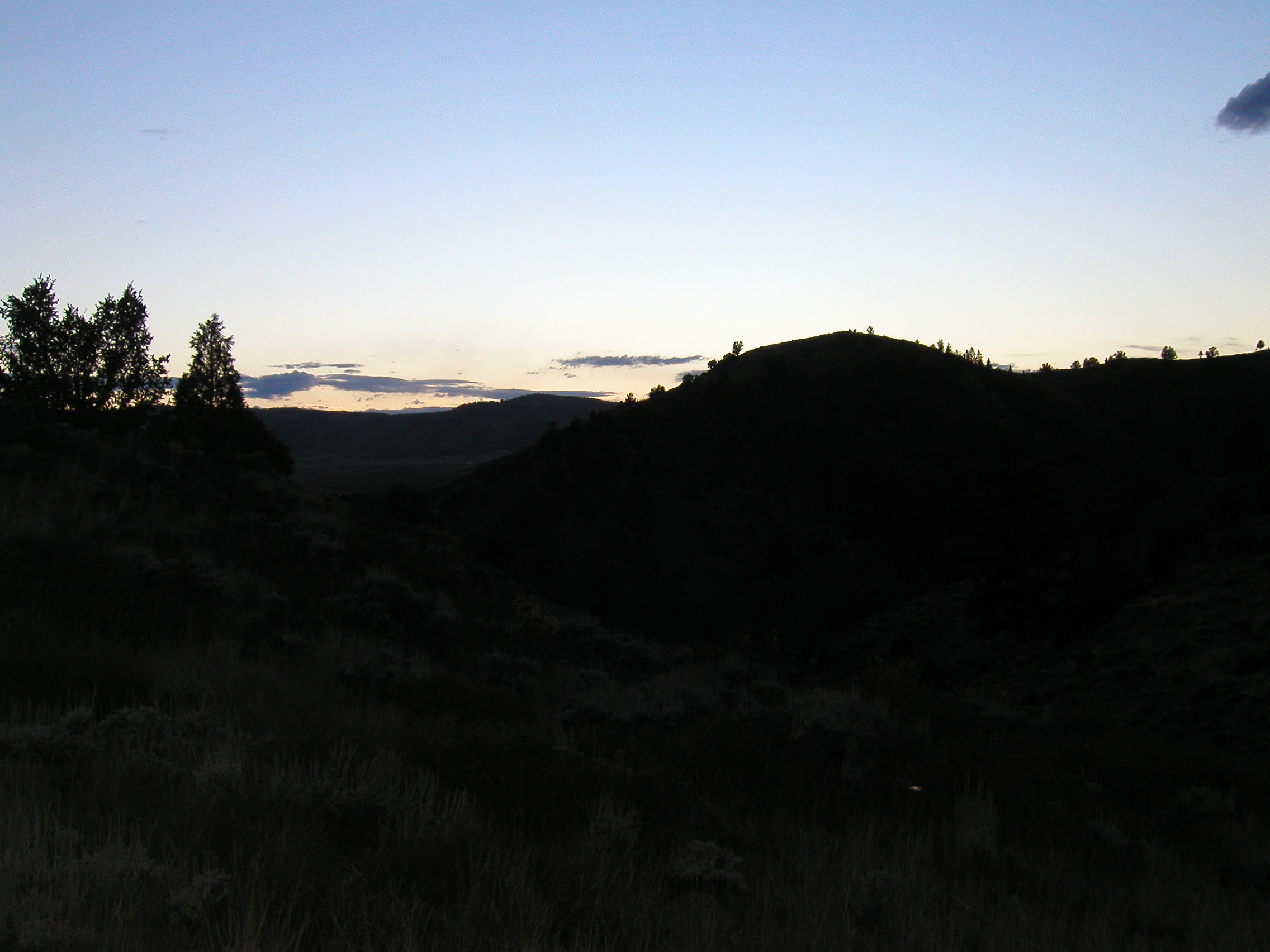
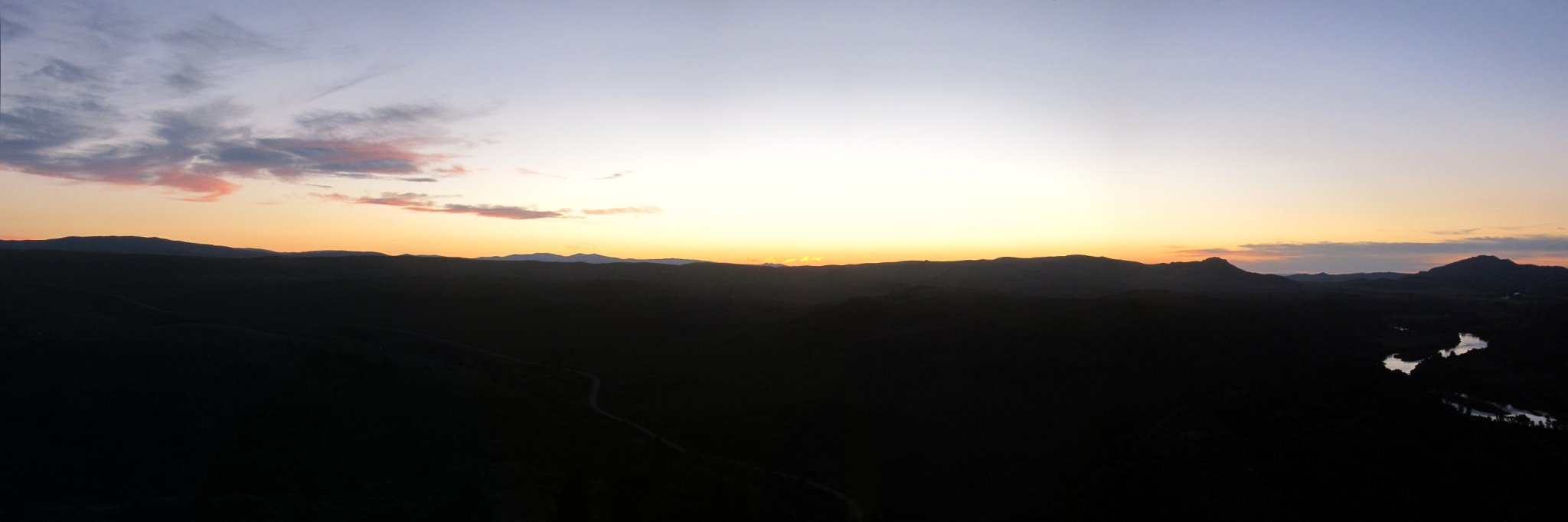
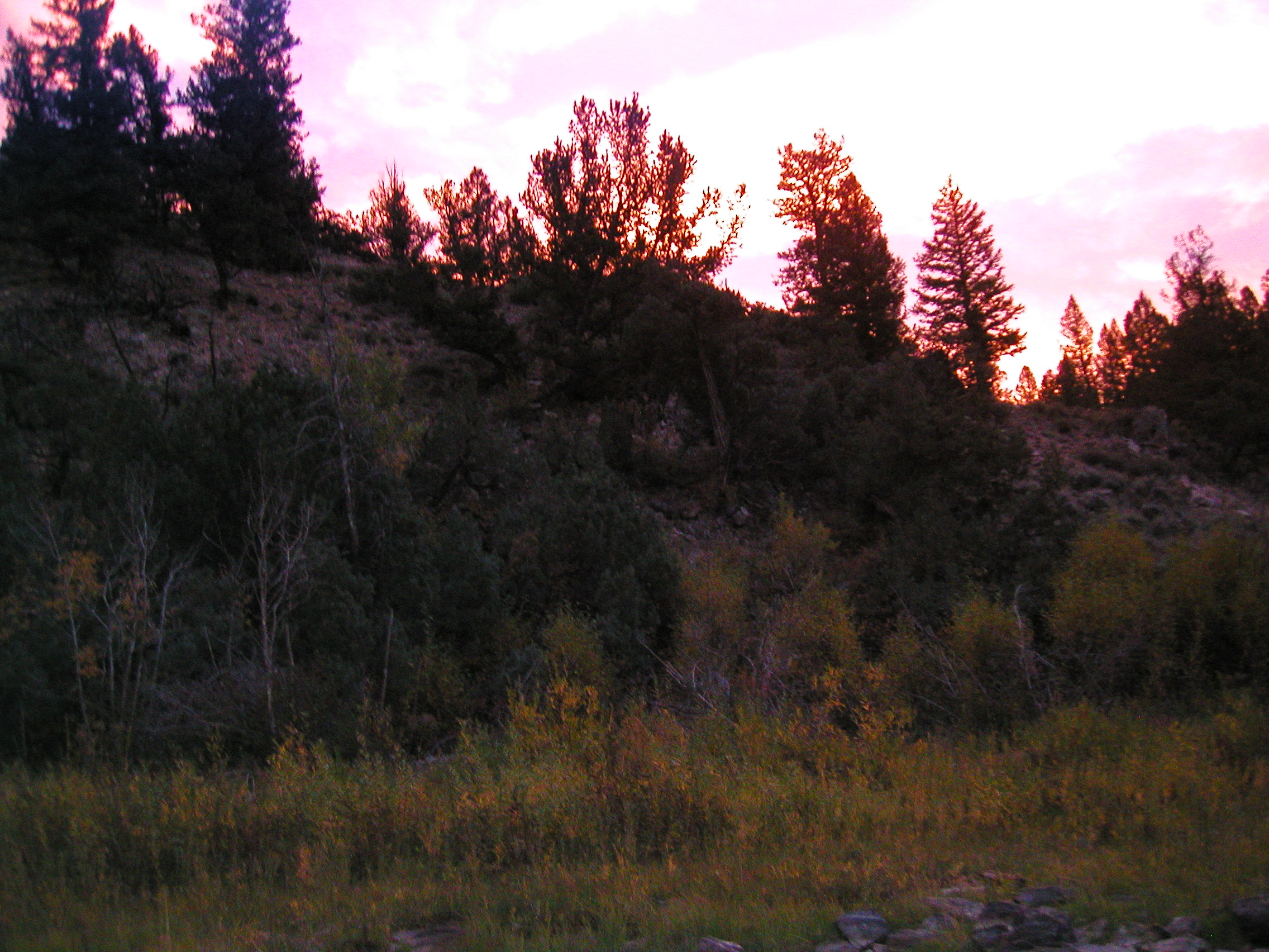
Sunset at camp
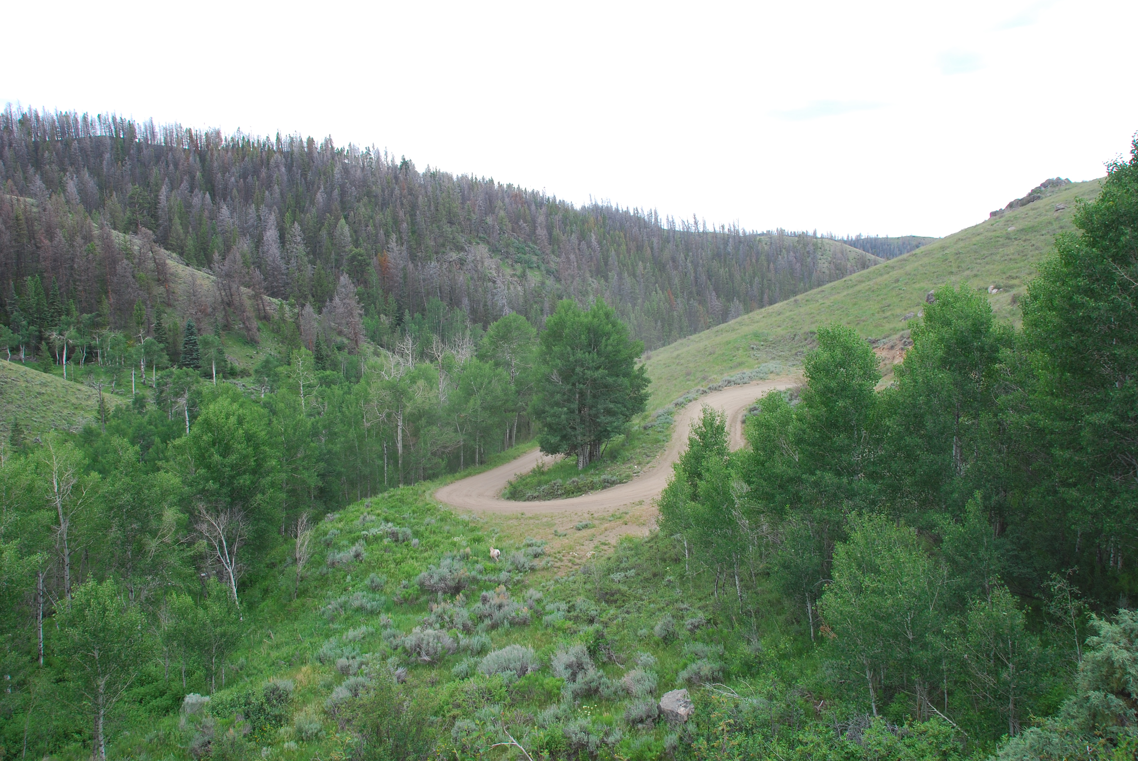
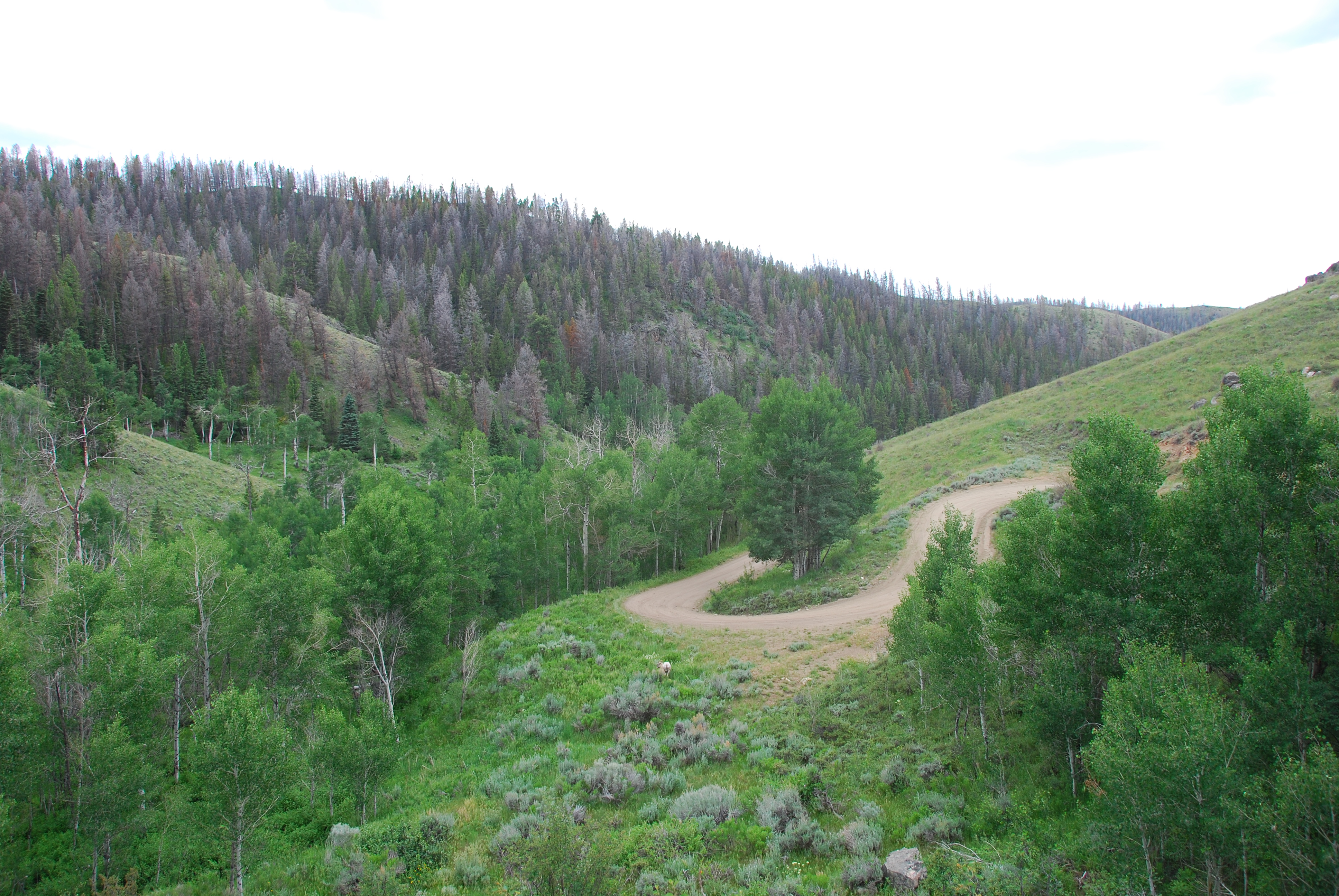
1406 Leaving Six Mile Gap Campground

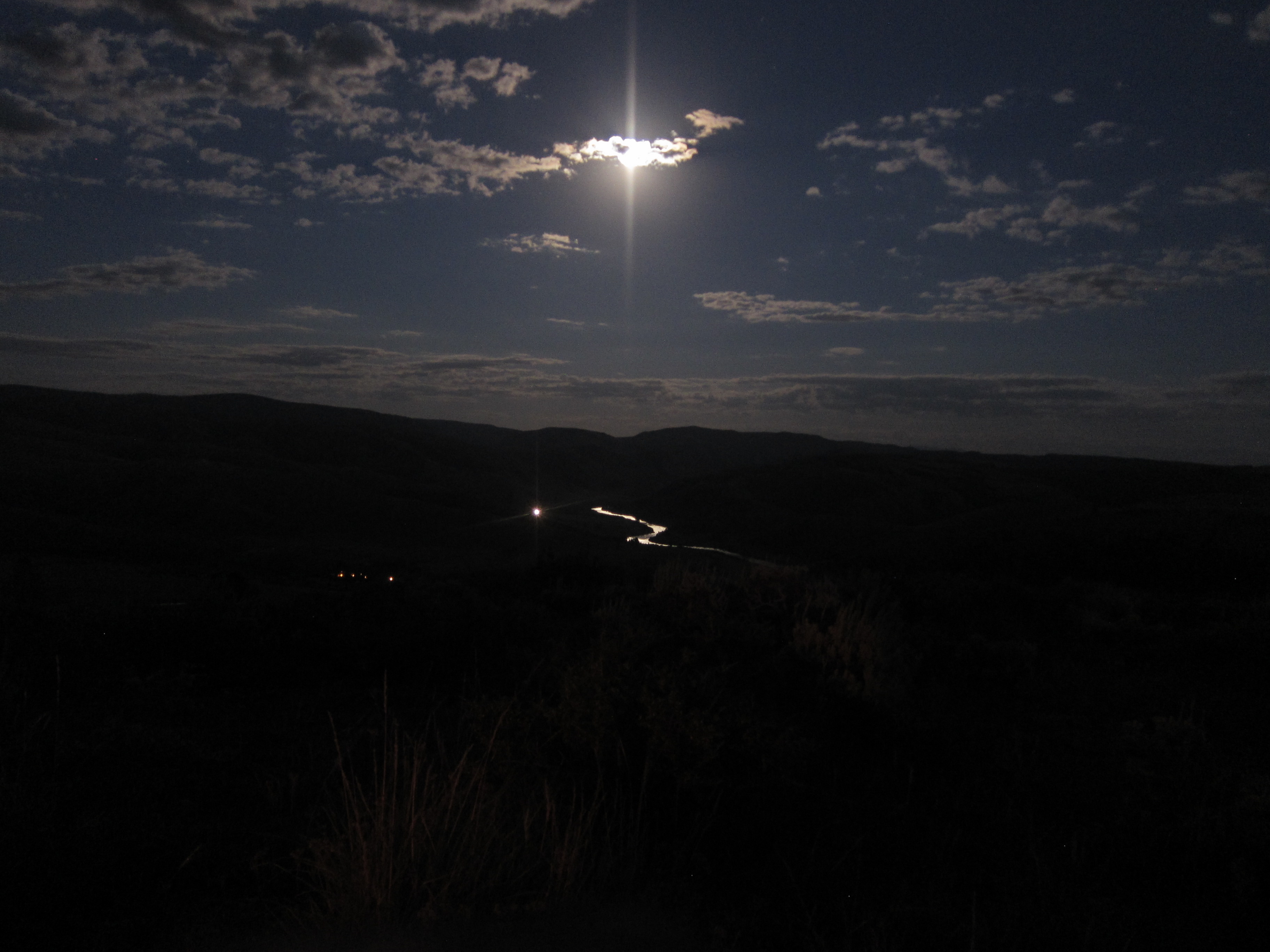
Moon over camp
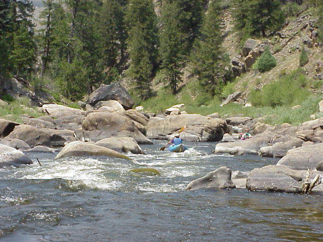
Actual Whitewater IV - Northgate Canyon, Colorado
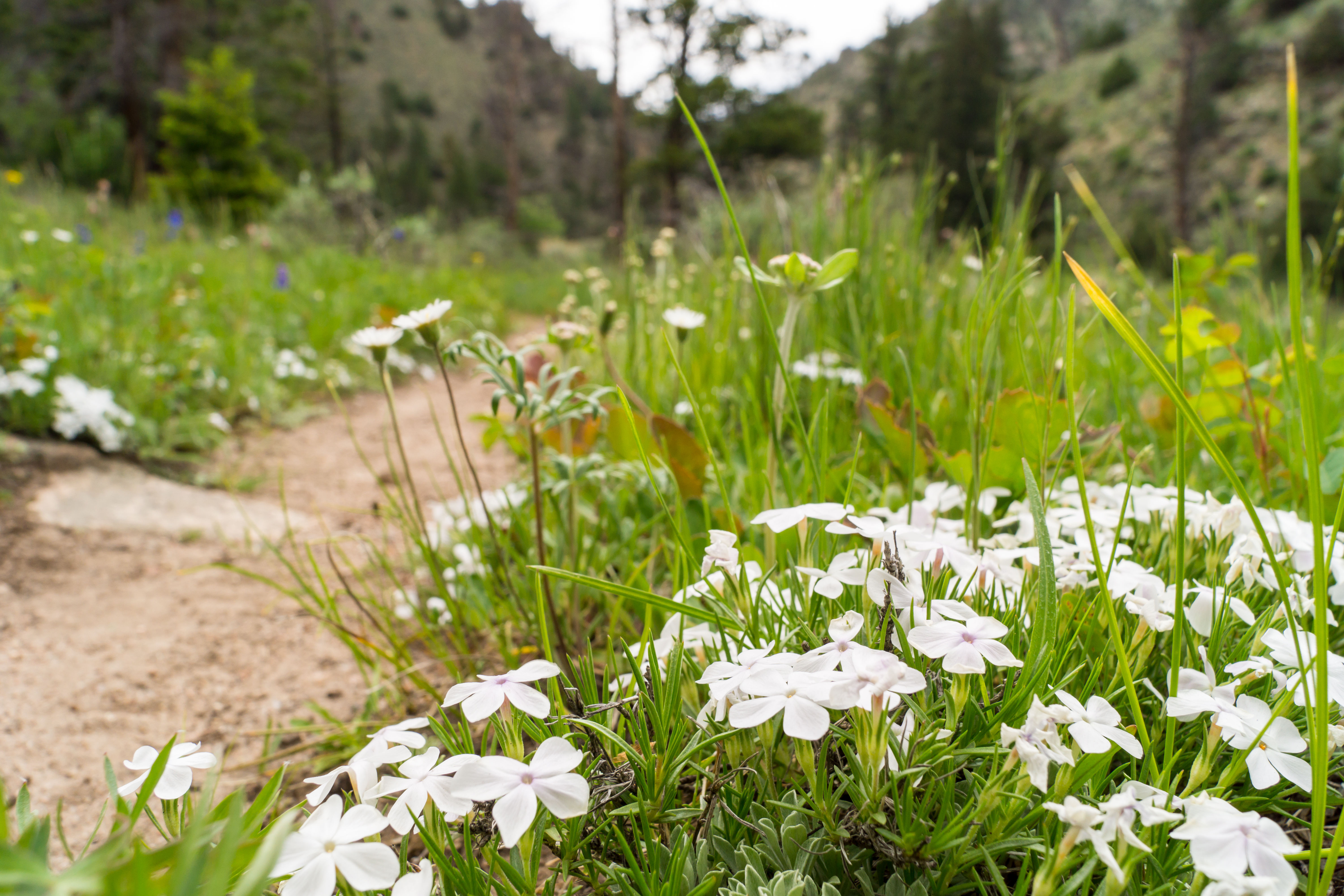
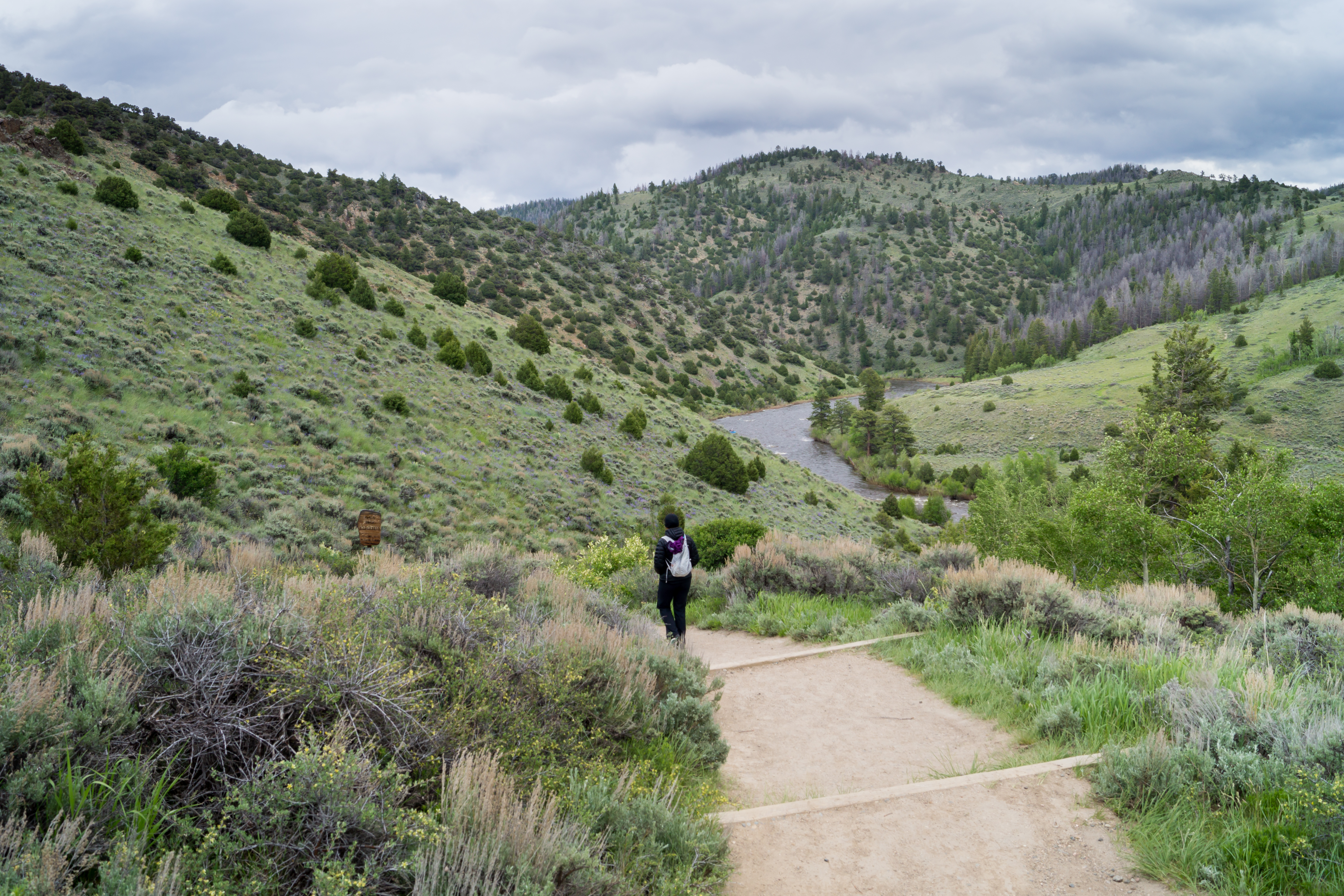
1406 Flowers along the Platte River Trail
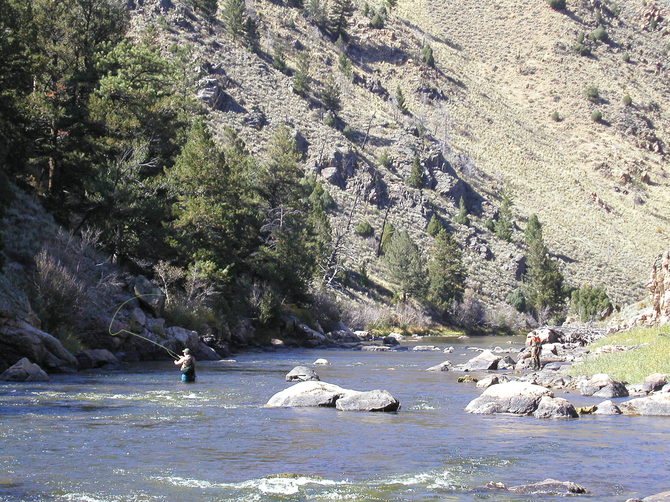
Mike's Fishing, Andy's Coaching
P1010027.JPG
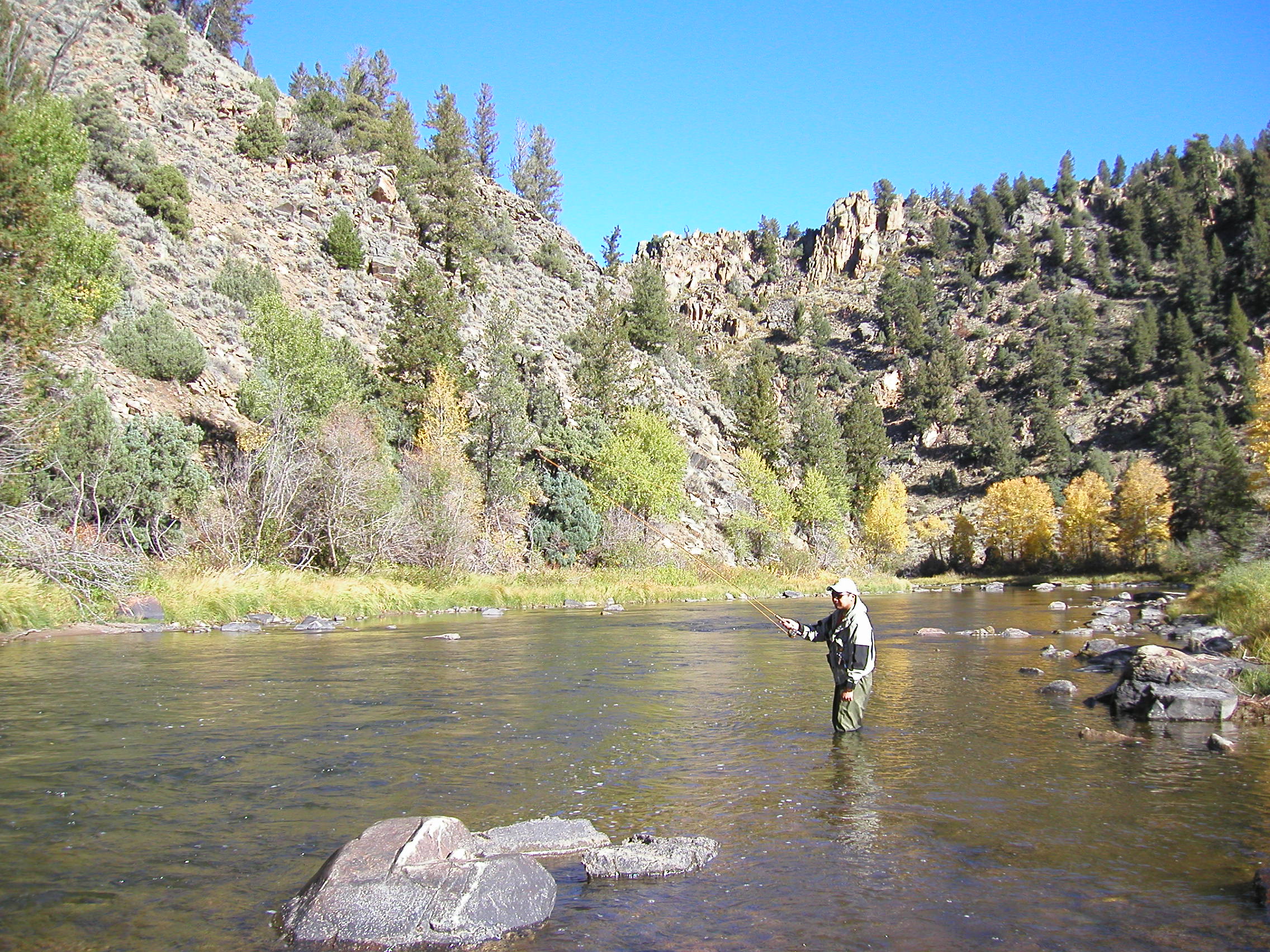
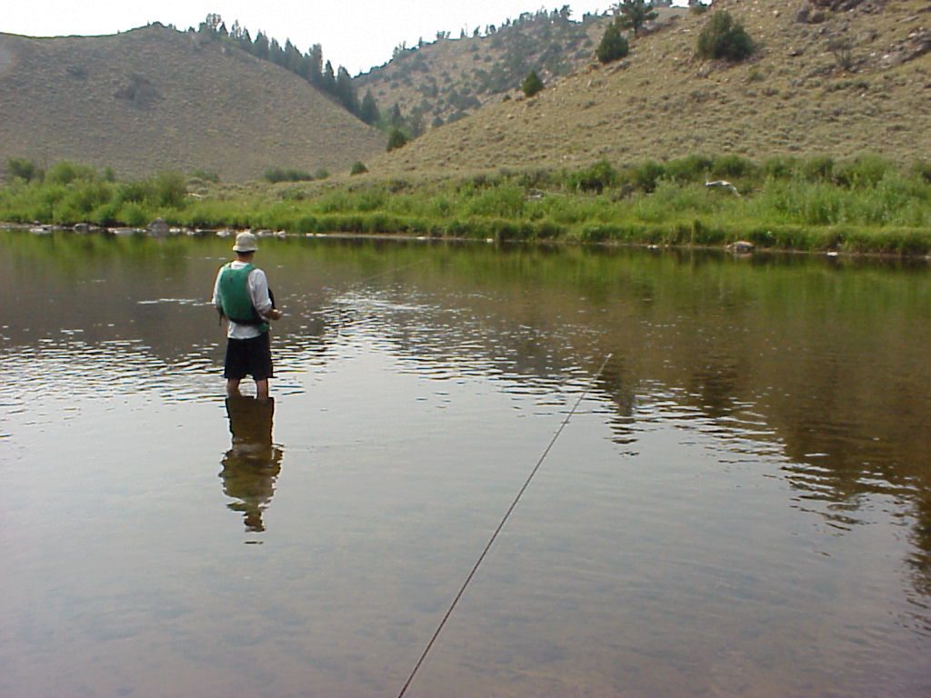
I'm Flyfishing!
Topographic Map of Platte Ridge, Wyoming, USA
Find elevation by address:

Places near Platte Ridge, Wyoming, USA:
Elkhorn Point
Douglas Creek Campground
Parsons Draw Road
Watson Mountain
Spruce Mountain
Spruce Mtn Fire Lookout Tower (recgovnpsdata)
Somber Hill
Pinkham Mountain
Barrett Ridge
Muddy Mountain
Bear Mountain
Foxpark
4039 Wy-230
Wyocolo
3416 Co-127
3416 Co-127
Libby Flats
Sentinel Mountain
Ryan Park
Snowy Range
Recent Searches:
- Elevation of Corso Fratelli Cairoli, 35, Macerata MC, Italy
- Elevation of Tallevast Rd, Sarasota, FL, USA
- Elevation of 4th St E, Sonoma, CA, USA
- Elevation of Black Hollow Rd, Pennsdale, PA, USA
- Elevation of Oakland Ave, Williamsport, PA, USA
- Elevation of Pedrógão Grande, Portugal
- Elevation of Klee Dr, Martinsburg, WV, USA
- Elevation of Via Roma, Pieranica CR, Italy
- Elevation of Tavkvetili Mountain, Georgia
- Elevation of Hartfords Bluff Cir, Mt Pleasant, SC, USA