Elevation of Sentinel Mountain, Colorado, USA
Location: United States > Colorado > Cowdrey >
Longitude: -106.2625
Latitude: 40.8969444
Elevation: 2760m / 9055feet
Barometric Pressure: 0KPa
Related Photos:

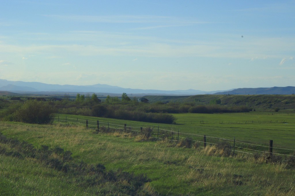
Roadside view
Wyoming ranchland

The road to myself

Under a big sky

On a Wyoming afternoon

Rest stop
Topographic Map of Sentinel Mountain, Colorado, USA
Find elevation by address:

Places near Sentinel Mountain, Colorado, USA:
Pinkham Mountain
3416 Co-127
3416 Co-127
Cowdrey
Watson Mountain
Wyocolo
4039 Wy-230
Parsons Draw Road
Somber Hill
Foxpark
Elkhorn Point
Douglas Creek Campground
Platte Ridge
Lake Mountain
Muddy Mountain
7 Forest Rd 540
Spruce Mountain
Spruce Mtn Fire Lookout Tower (recgovnpsdata)
25777 Co Rd 103
Albany
Recent Searches:
- Elevation map of Greenland, Greenland
- Elevation of Sullivan Hill, New York, New York, 10002, USA
- Elevation of Morehead Road, Withrow Downs, Charlotte, Mecklenburg County, North Carolina, 28262, USA
- Elevation of 2800, Morehead Road, Withrow Downs, Charlotte, Mecklenburg County, North Carolina, 28262, USA
- Elevation of Yangbi Yi Autonomous County, Yunnan, China
- Elevation of Pingpo, Yangbi Yi Autonomous County, Yunnan, China
- Elevation of Mount Malong, Pingpo, Yangbi Yi Autonomous County, Yunnan, China
- Elevation map of Yongping County, Yunnan, China
- Elevation of North 8th Street, Palatka, Putnam County, Florida, 32177, USA
- Elevation of 107, Big Apple Road, East Palatka, Putnam County, Florida, 32131, USA
- Elevation of Jiezi, Chongzhou City, Sichuan, China
- Elevation of Chongzhou City, Sichuan, China
- Elevation of Huaiyuan, Chongzhou City, Sichuan, China
- Elevation of Qingxia, Chengdu, Sichuan, China
- Elevation of Corso Fratelli Cairoli, 35, Macerata MC, Italy
- Elevation of Tallevast Rd, Sarasota, FL, USA
- Elevation of 4th St E, Sonoma, CA, USA
- Elevation of Black Hollow Rd, Pennsdale, PA, USA
- Elevation of Oakland Ave, Williamsport, PA, USA
- Elevation of Pedrógão Grande, Portugal