Elevation of Somber Hill, Wyoming, USA
Location: United States > Wyoming > Albany County > Laramie >
Longitude: -106.19001
Latitude: 41.0738629
Elevation: 2843m / 9327feet
Barometric Pressure: 72KPa
Elevation Map:
Satellite Map:
Related Photos:
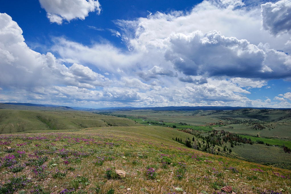
Summer Storm Brewing on the Laramie River
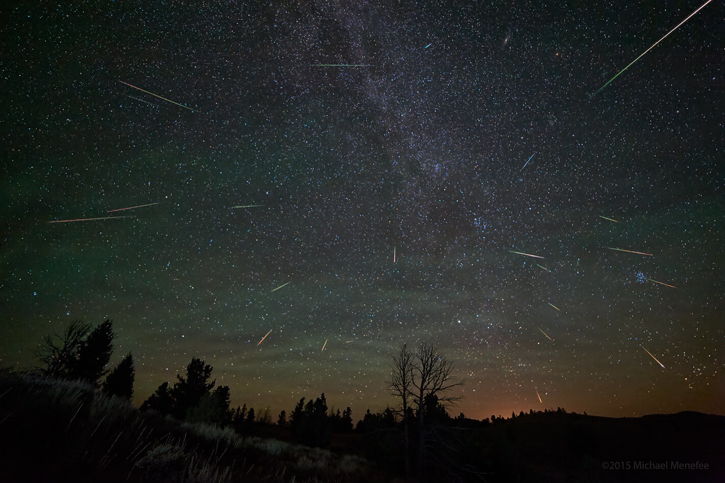
2015 Perseid Profusion of Meteors
Topographic Map of Somber Hill, Wyoming, USA
Find elevation by address:

Places near Somber Hill, Wyoming, USA:
Foxpark
4039 Wy-230
Wyocolo
Lake Mountain
Douglas Creek Campground
Muddy Mountain
7 Forest Rd 540
Albany
1148 Wy-11
Spruce Mtn Fire Lookout Tower (recgovnpsdata)
1148 Wy-11
Spruce Mountain
Pinkham Mountain
3416 Co-127
3416 Co-127
694 Fox Creek Rd
57 Wy-10
Centennial Ridge
Sentinel Mountain
Woods Landing-jelm
Recent Searches:
- Elevation of Corso Fratelli Cairoli, 35, Macerata MC, Italy
- Elevation of Tallevast Rd, Sarasota, FL, USA
- Elevation of 4th St E, Sonoma, CA, USA
- Elevation of Black Hollow Rd, Pennsdale, PA, USA
- Elevation of Oakland Ave, Williamsport, PA, USA
- Elevation of Pedrógão Grande, Portugal
- Elevation of Klee Dr, Martinsburg, WV, USA
- Elevation of Via Roma, Pieranica CR, Italy
- Elevation of Tavkvetili Mountain, Georgia
- Elevation of Hartfords Bluff Cir, Mt Pleasant, SC, USA