Elevation of Bear Notch Rd, Bradford, VT, USA
Location: United States > Vermont > Orange County > Corinth >
Longitude: -72.240574
Latitude: 43.9856027
Elevation: 301m / 988feet
Barometric Pressure: 98KPa
Elevation Map:
Satellite Map:
Related Photos:

Room with a view
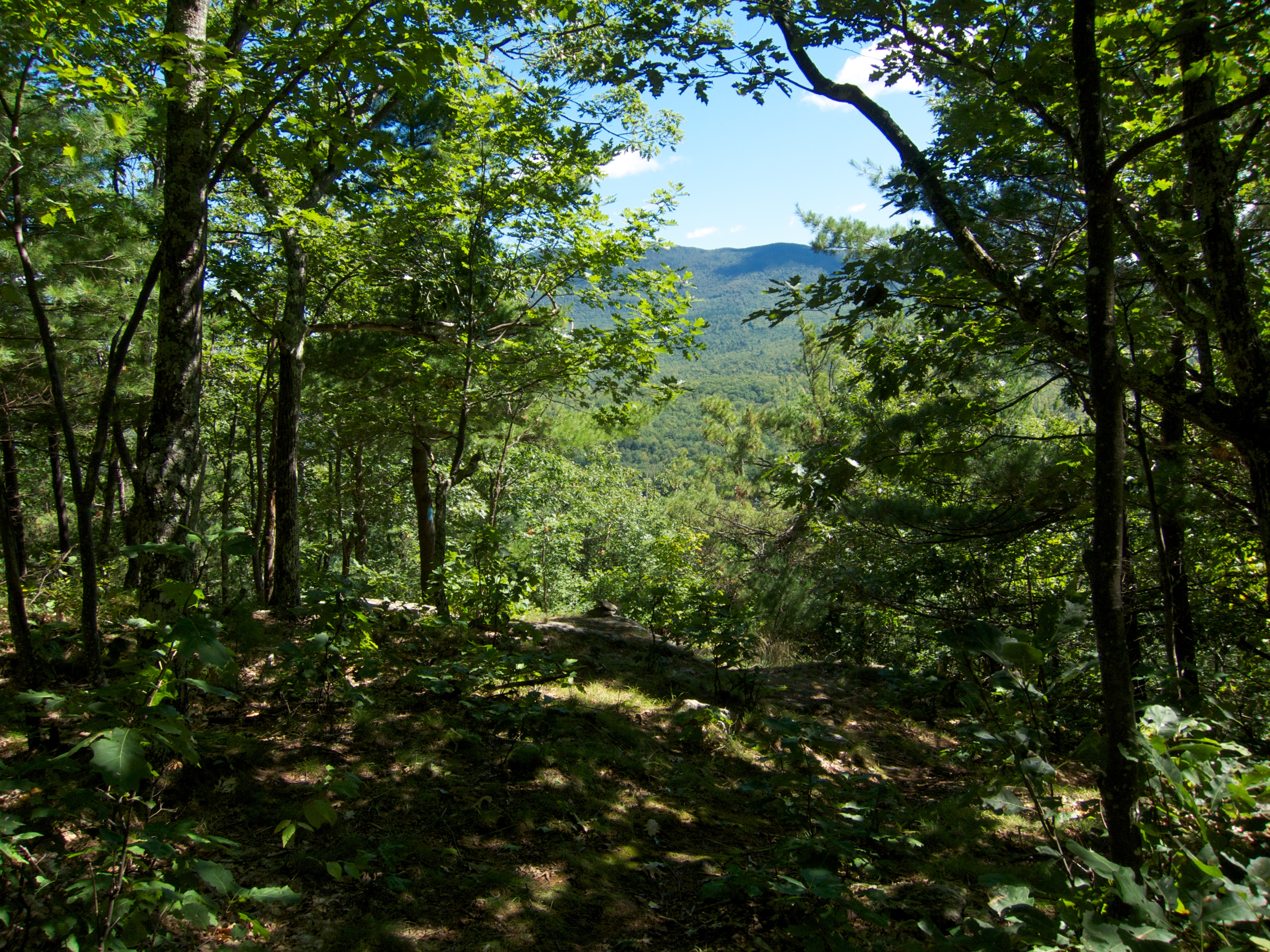
Sunday Mountain Summit View
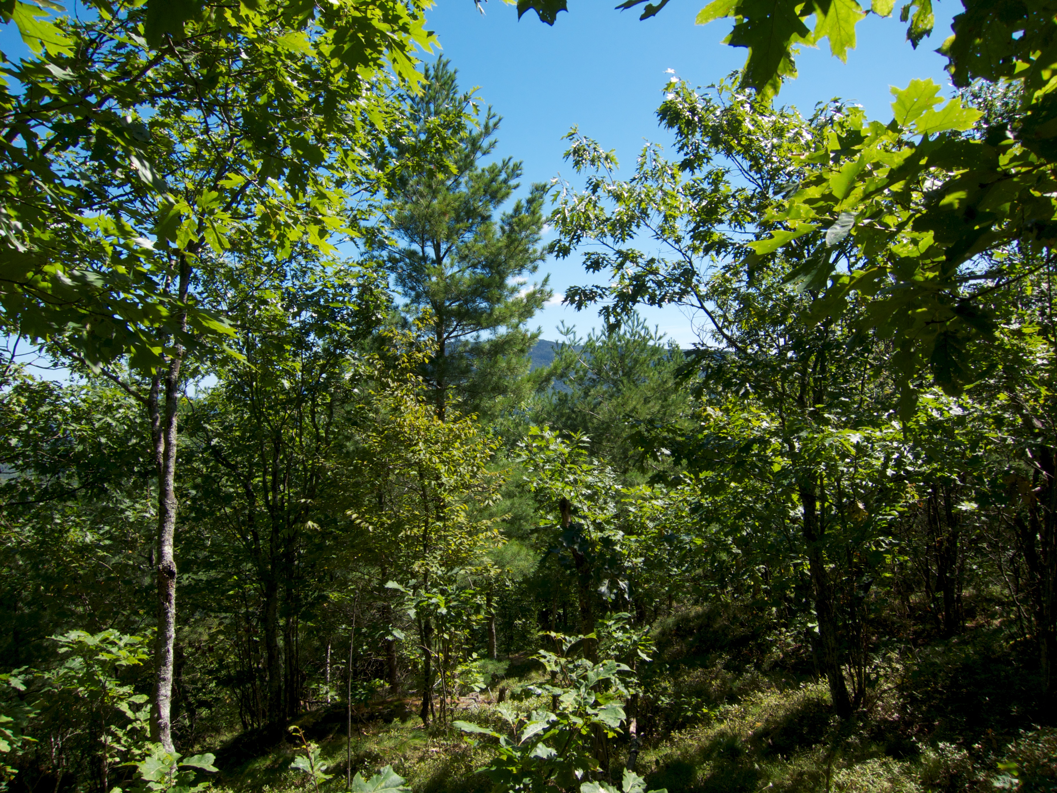
Sunday Mountain Summit View
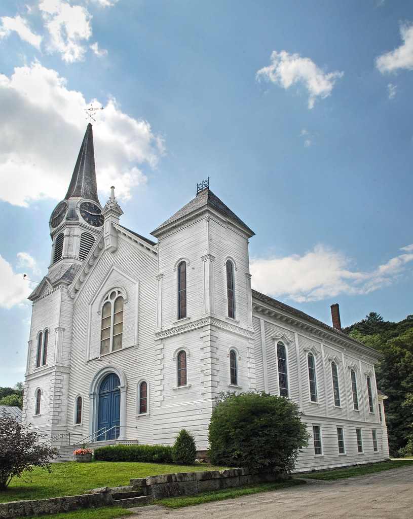
Congregational Church of Bradford, Vermont
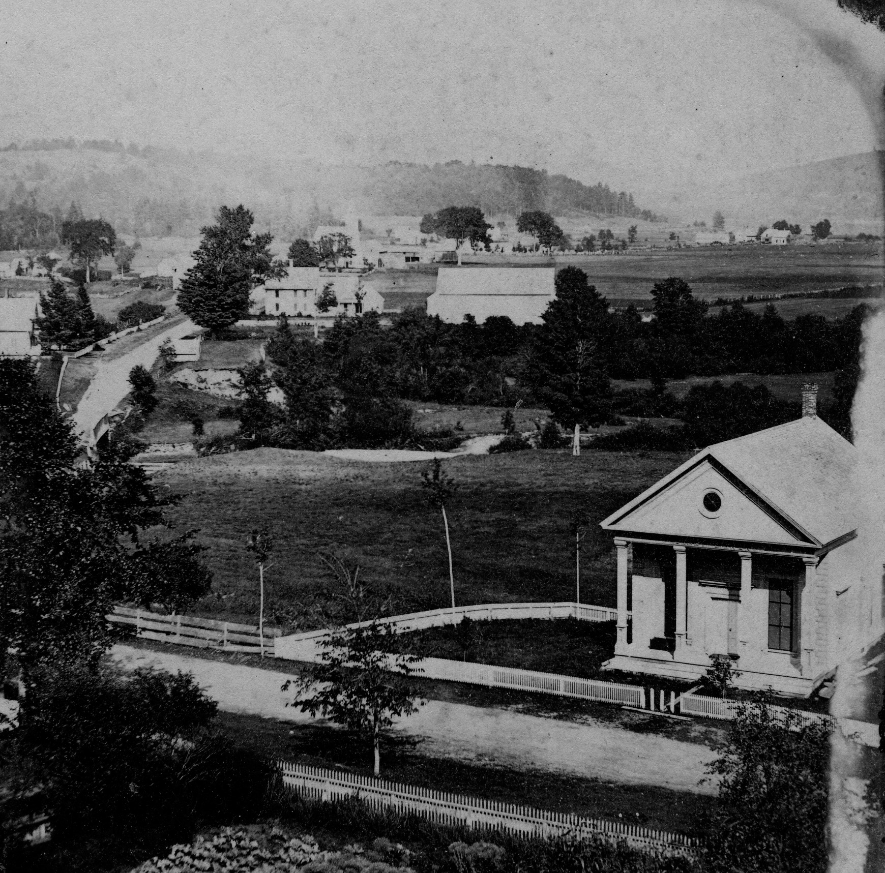
Peabody Library and Lake Street
North Thetford, Looking Southeast

Best breakfast view.
The view from Jack's dorm towards main campus
mountain school panorama
Pancakes and a view.

View from the bed. Somehow waking up early just doesn't hurt so much at the Cabin.

A Beautiful View
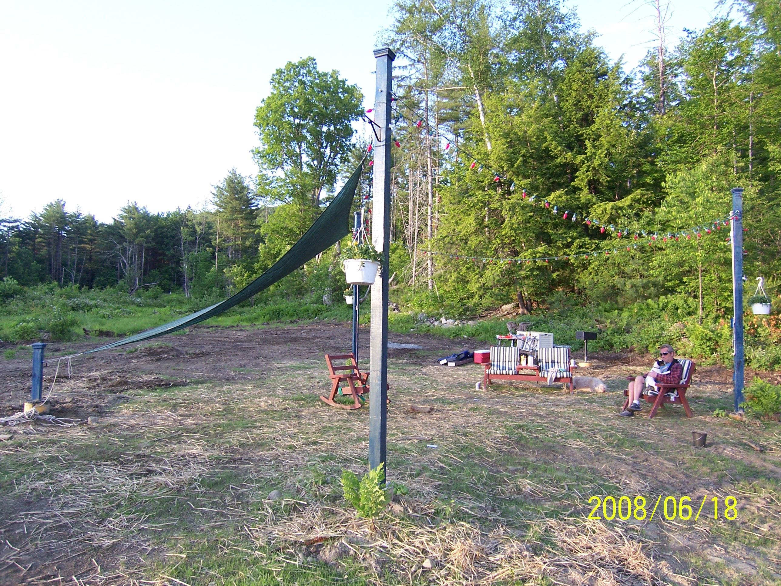
Poles for Sun Sail
Good morning, Cabin! (View from the outhouse) #nofilter #cabinlove
Pancakes and a view.
Side view

East Corinth, Vermont

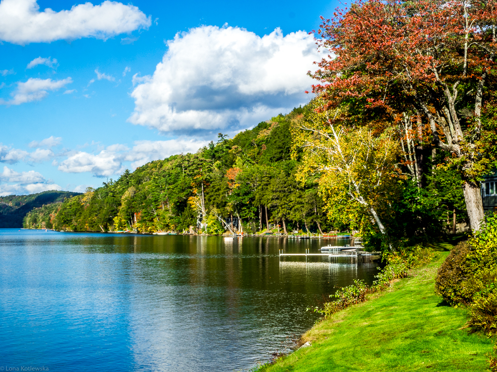
Autumn in Vermont

Evening at East Corinth, Vermont

I’ve been busy lately...
Spring or Autumn?
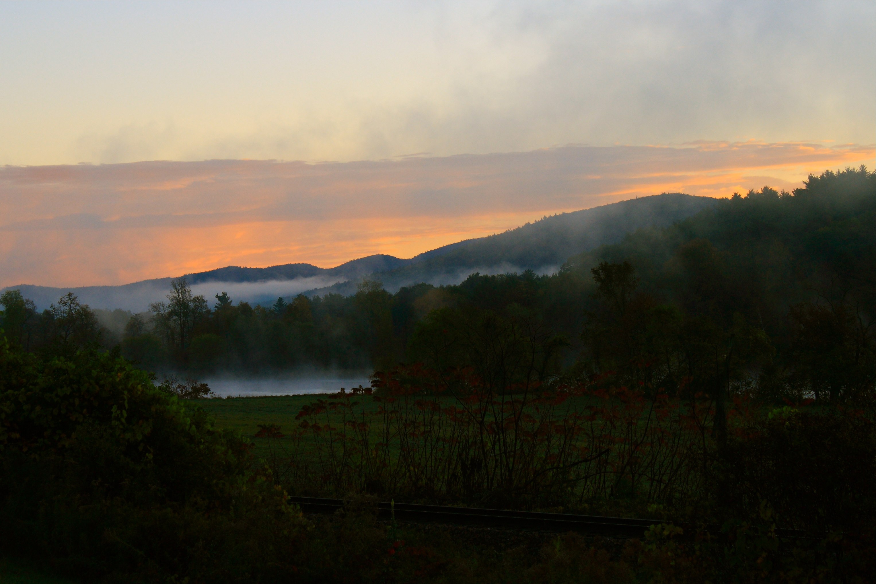
River Fog Rising with the Sun

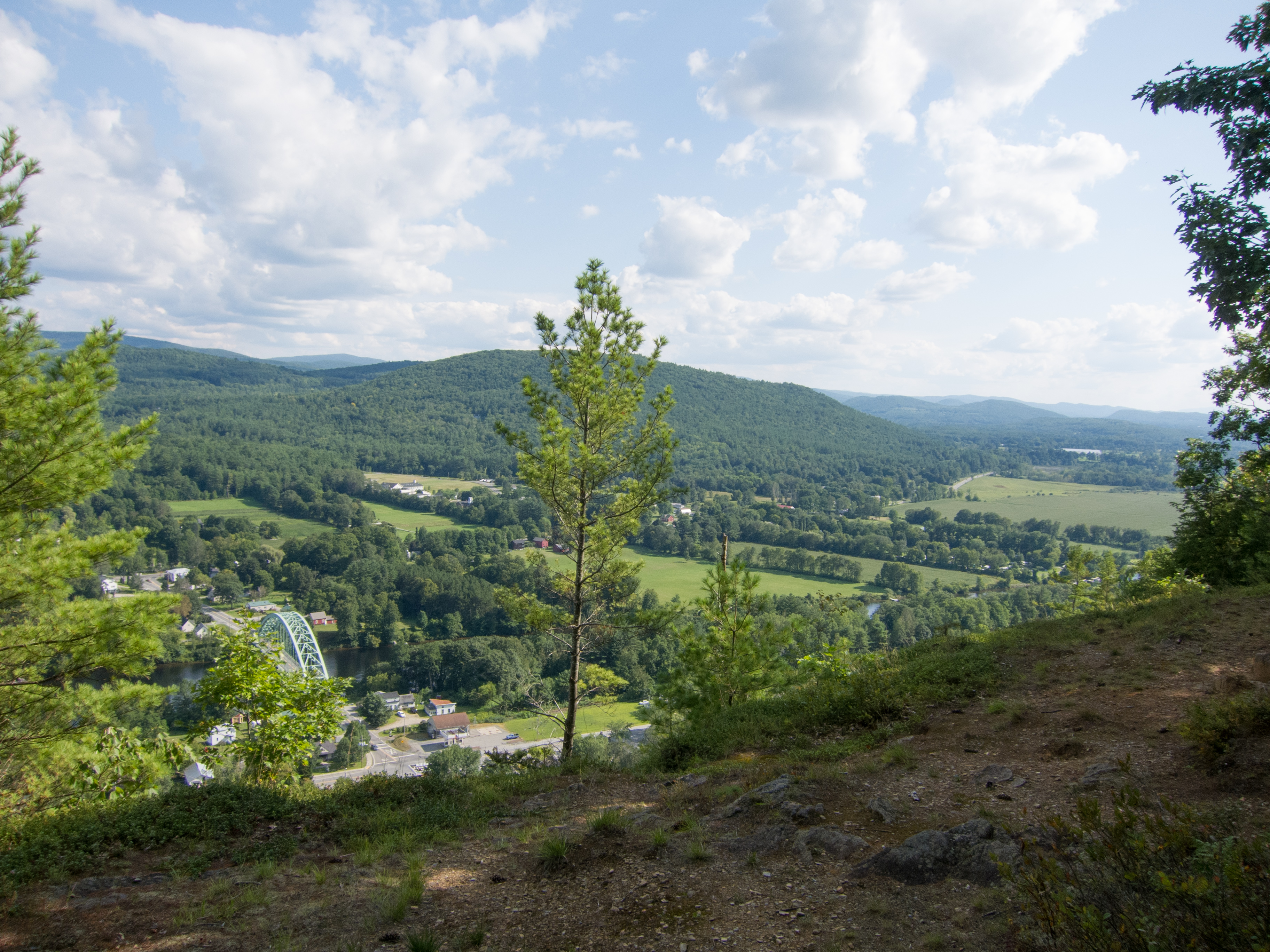
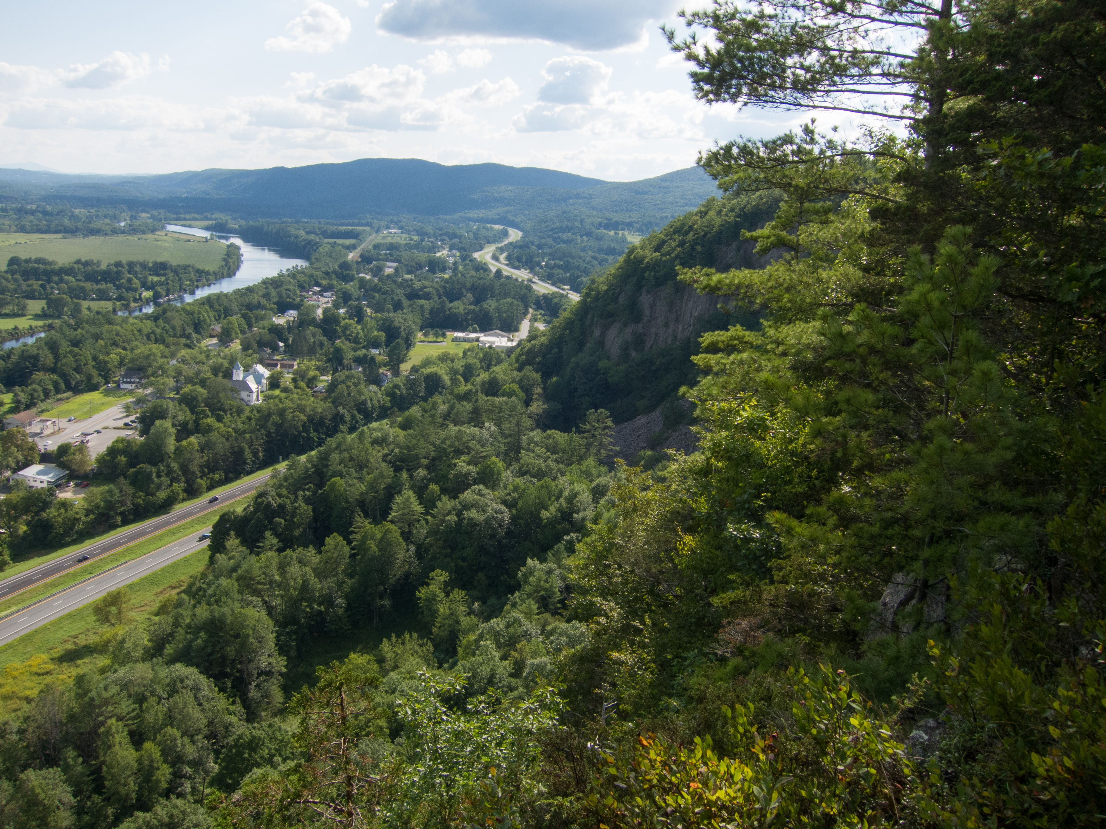
Fairlee Palisades
Downstream from Glen Falls, VT 1
Downstream from Glen Falls, VT 2
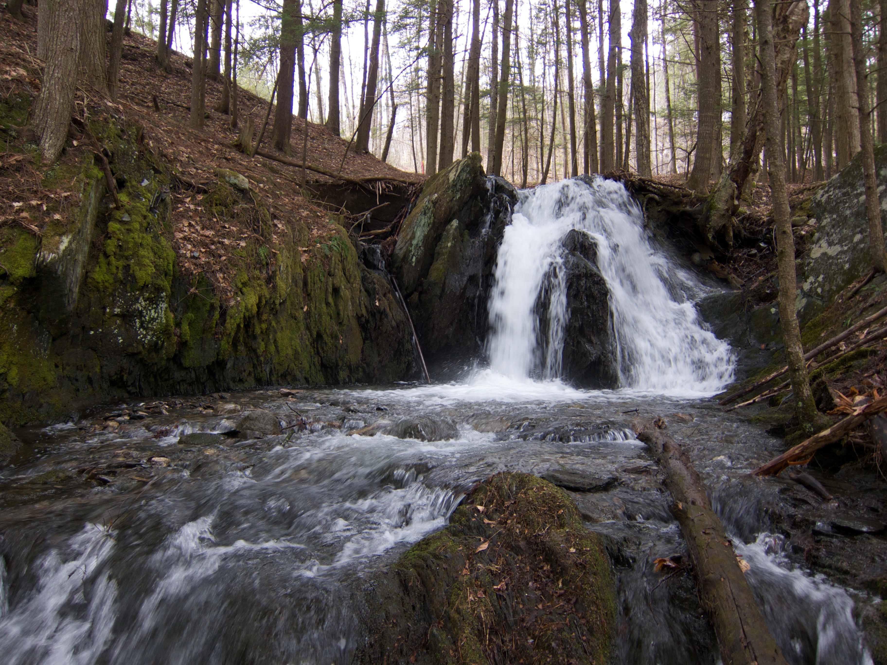
Upper Glen Falls
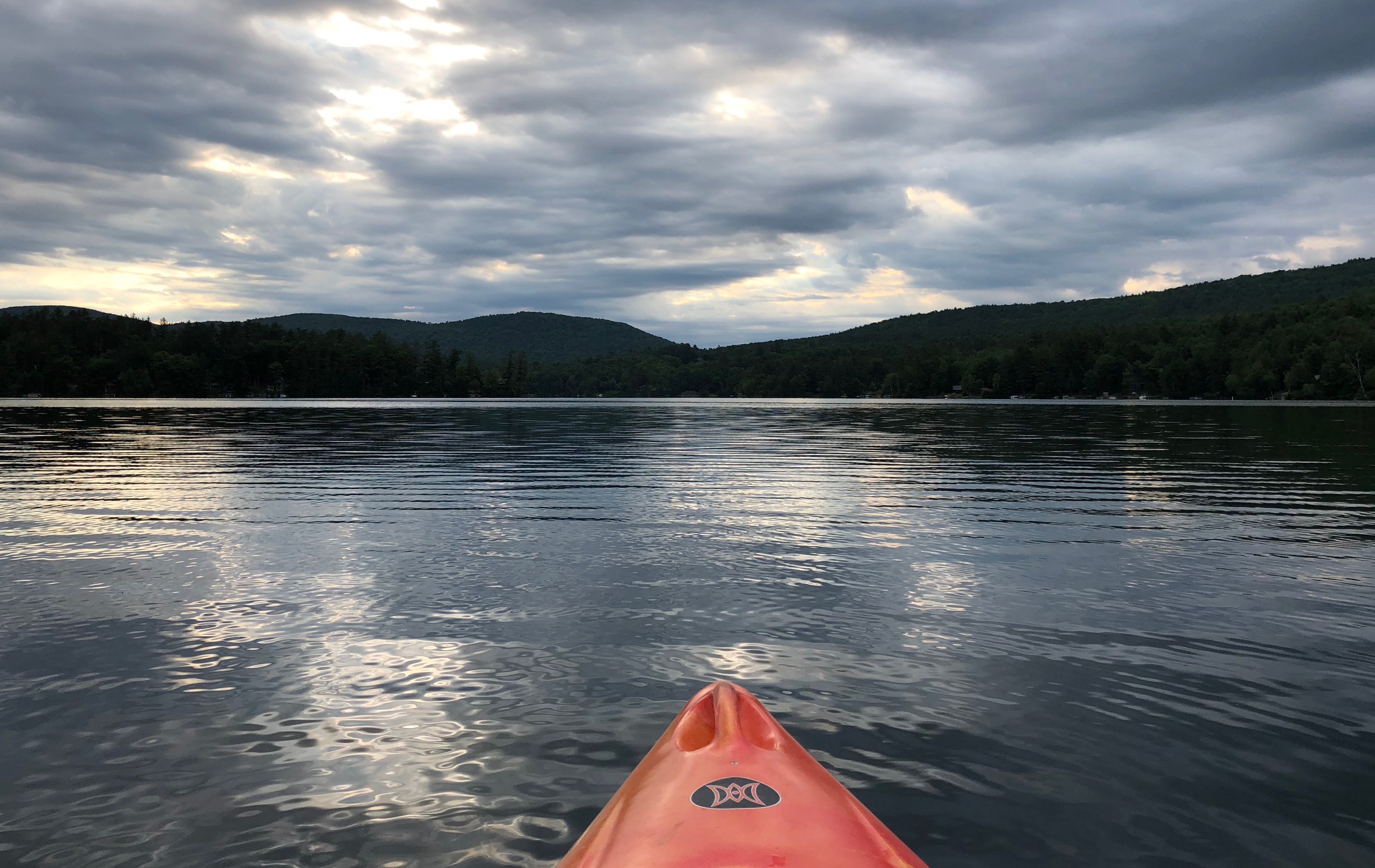
Early Morning Kayak
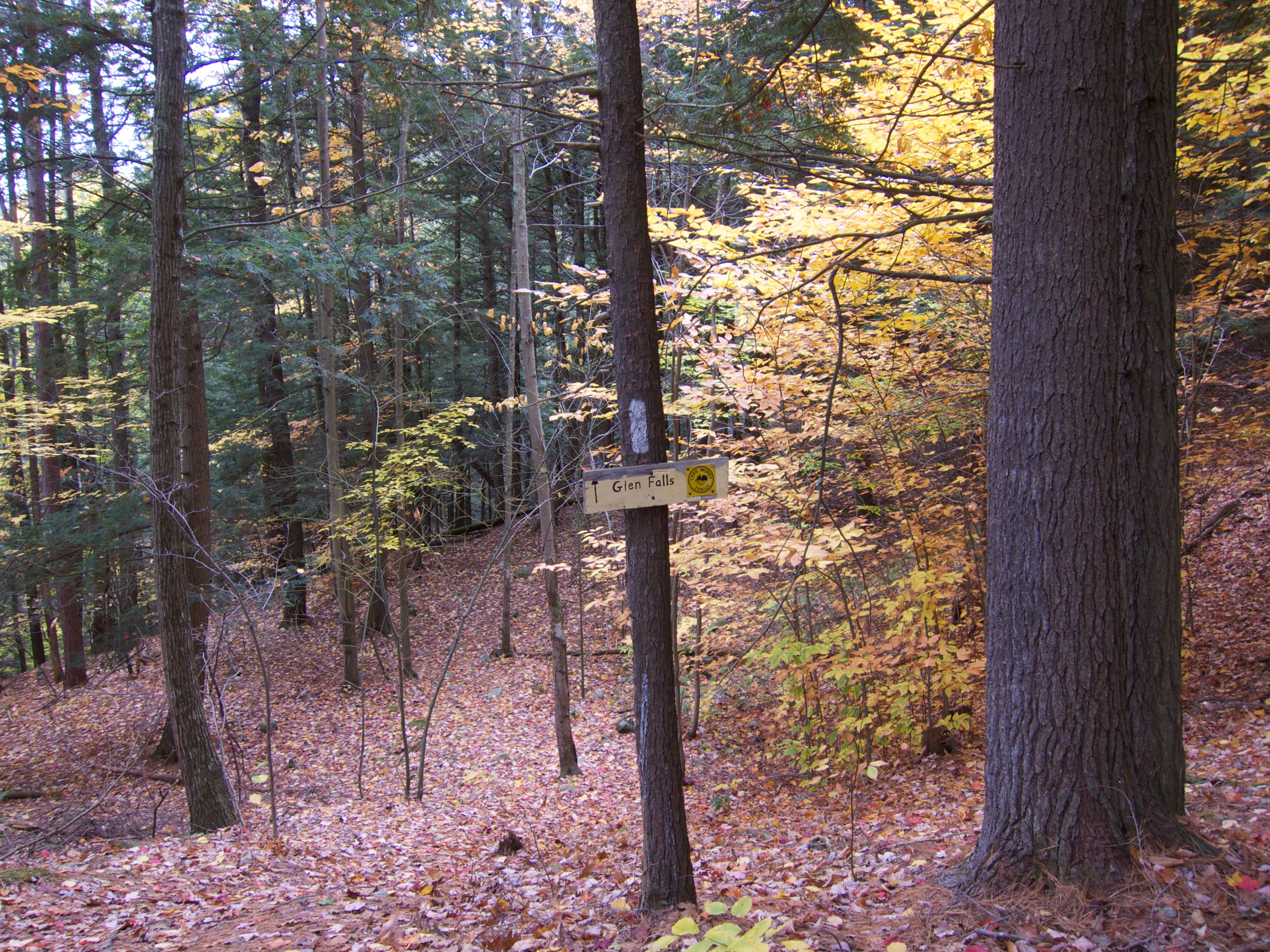
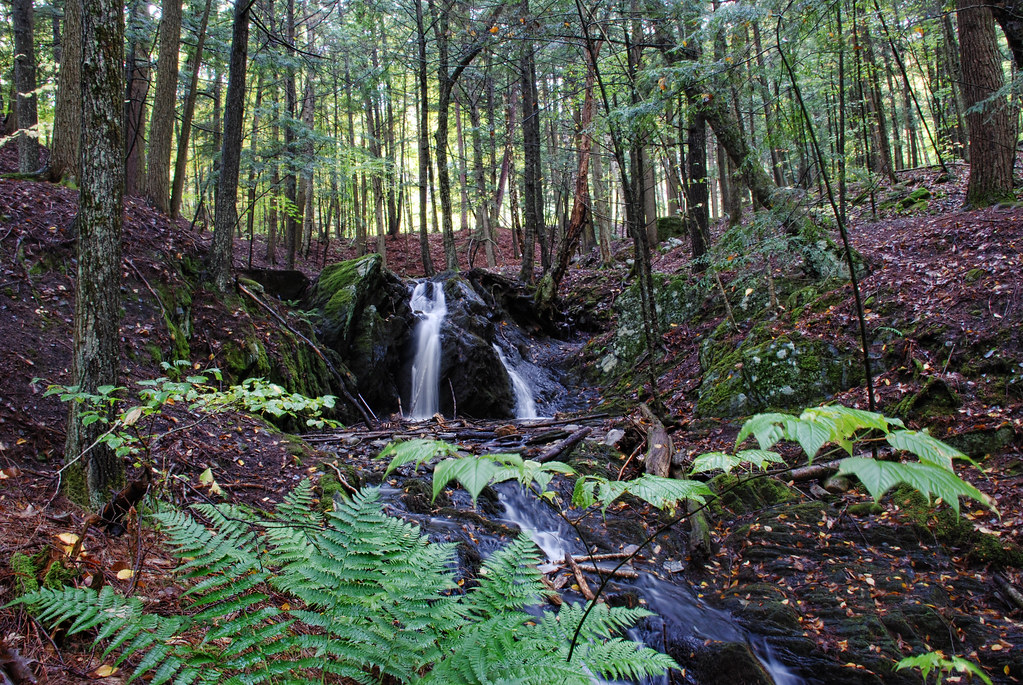
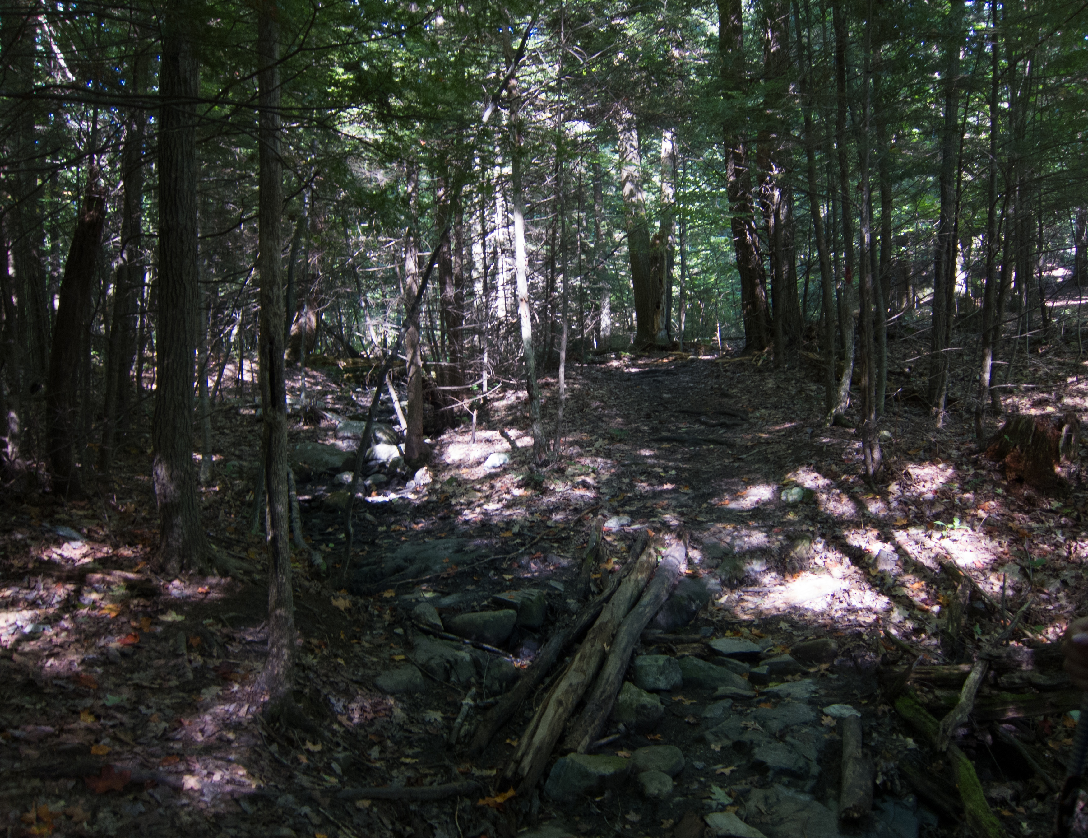
Glen Falls Cutoff
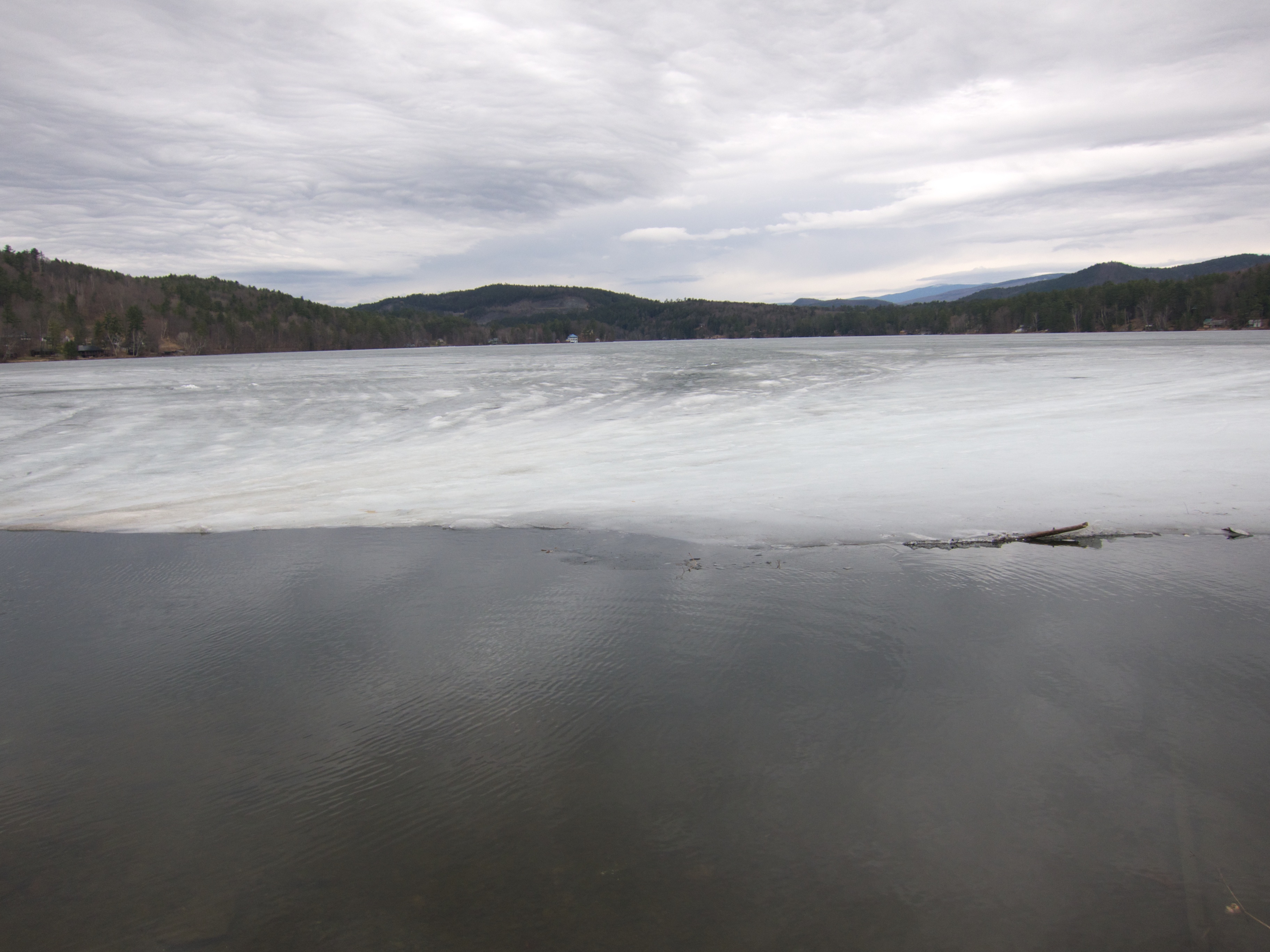
Ice on Lake Morey
Fairlee Palisades
Upper Glen Falls
Fairlee Palisades
Fairlee Palisades
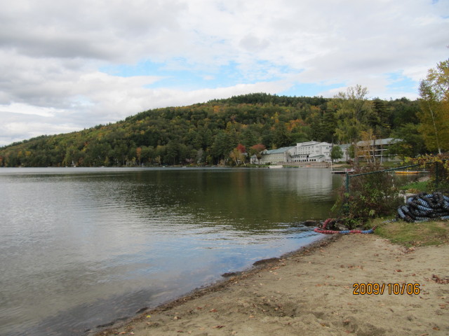
Lake Morey
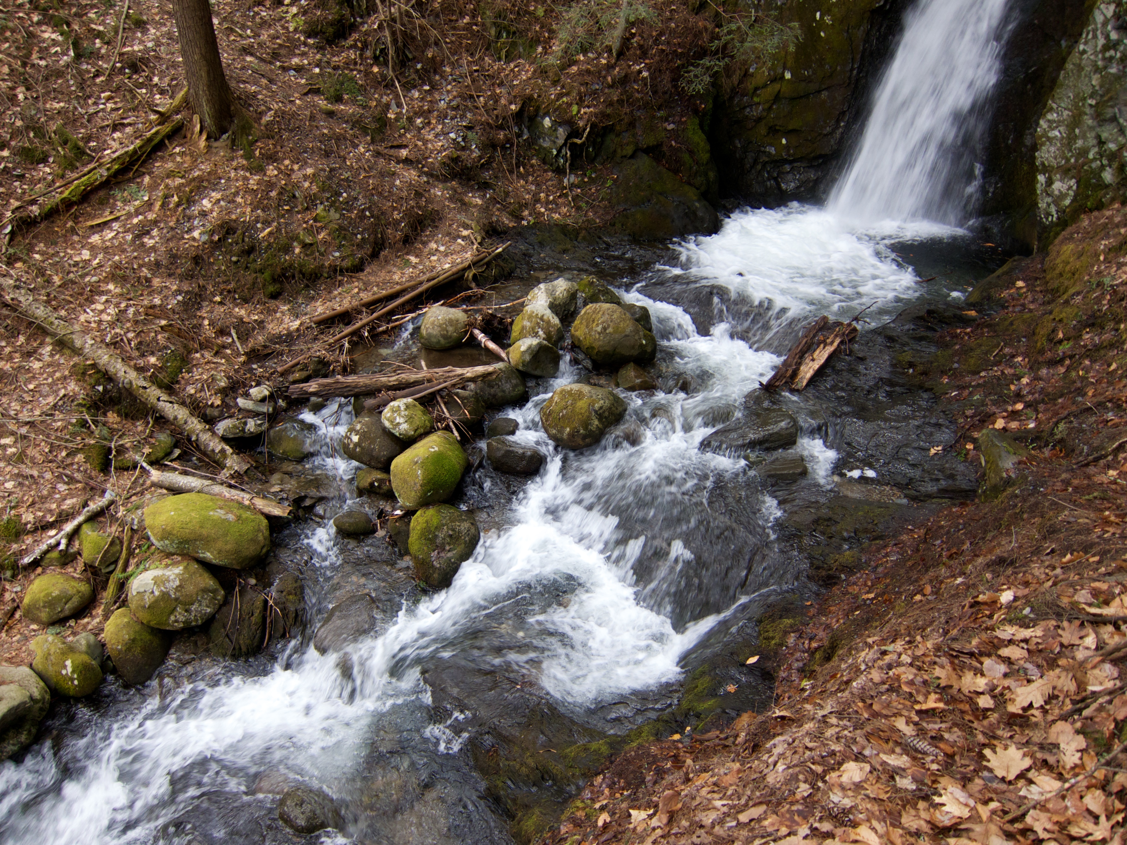
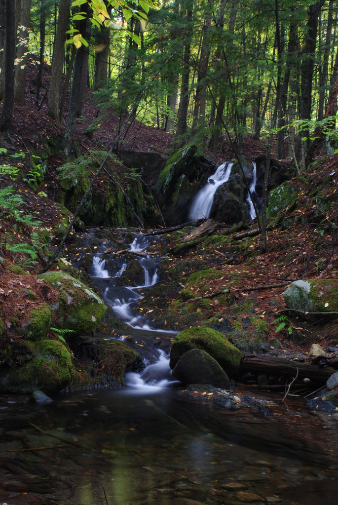
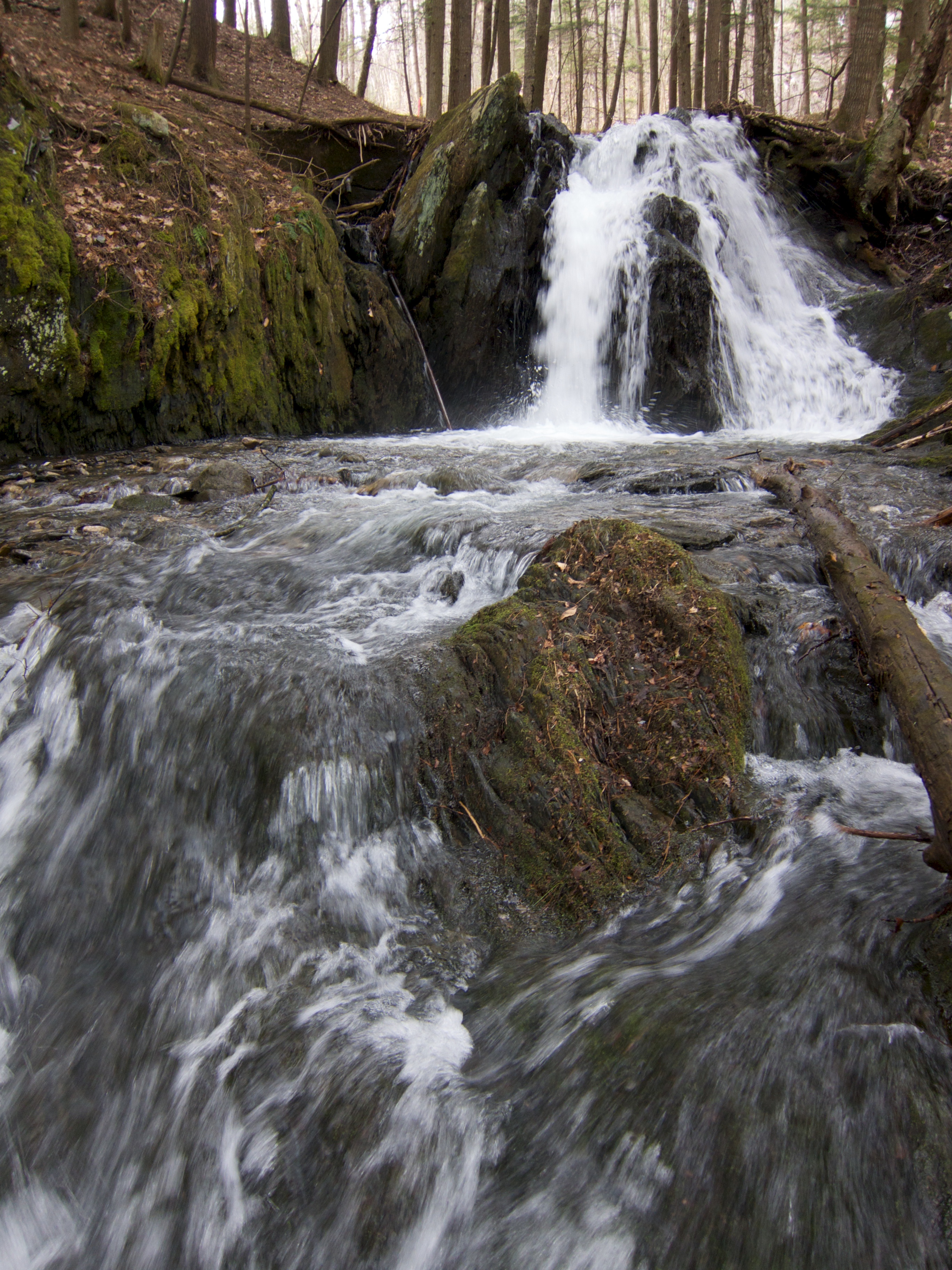
Glen Falls Brook
Orford, New Hampshire

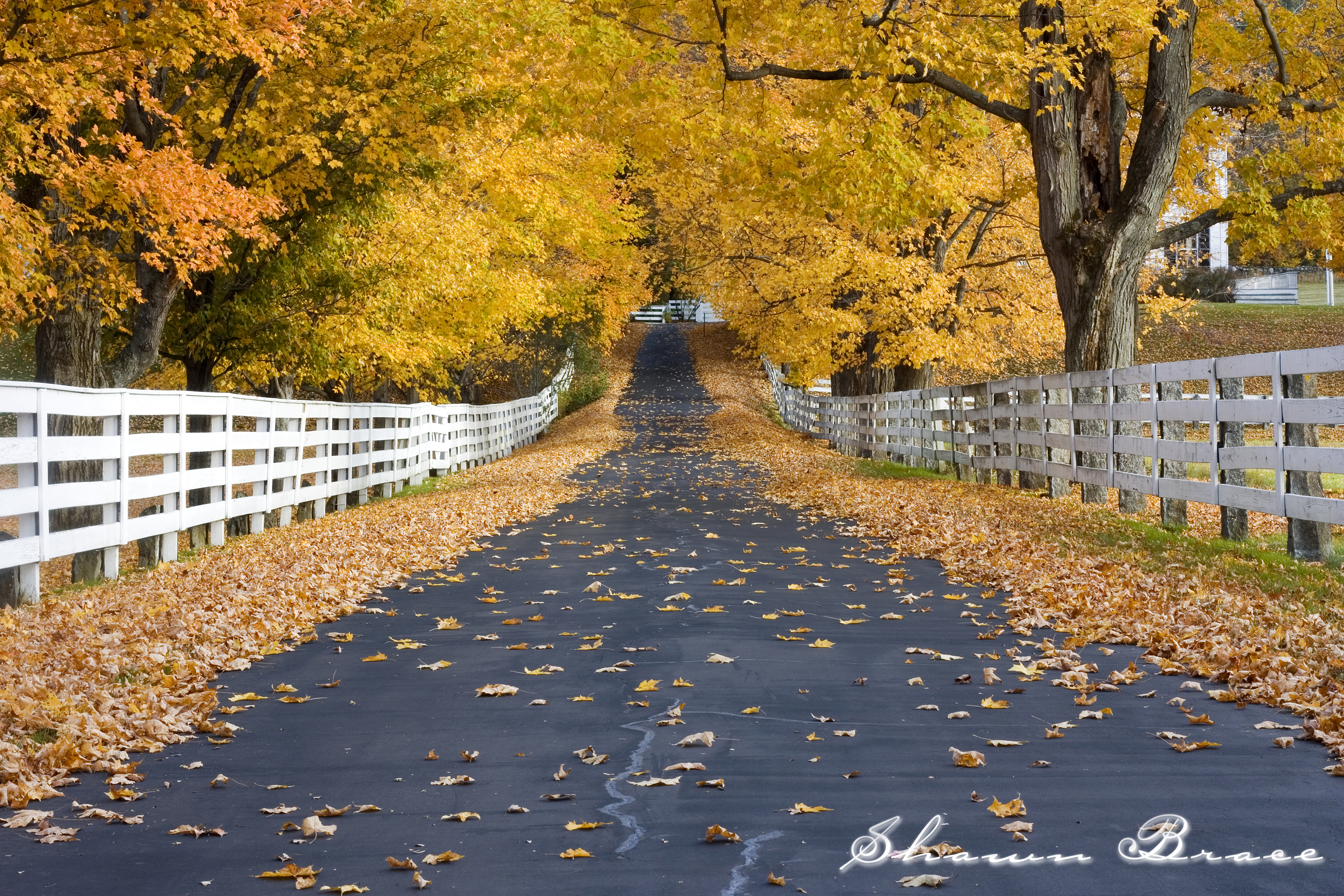
Vermont Country Road
Topographic Map of Bear Notch Rd, Bradford, VT, USA
Find elevation by address:

Places near Bear Notch Rd, Bradford, VT, USA:
1809 Beaver Meadow Rd
1547 Chelsea Rd
2175 S Rd
Corinth
115 Sheep Meadow Ln
Brook Road
VT-, Vershire, VT, USA
5786 Waits River Rd
110 Wrights Mountain Rd
285 Wrights Mountain Rd
200 Wrights Mountain Rd
220 Wrights Mountain Rd
250 Wrights Mountain Rd
194 Miller Rd
280 Wrights Mountain Rd
300 Wrights Mountain Rd
1078 Pike Hill Rd
447 Cross Rd
East Corinth
3306 Copper Mine Rd
Recent Searches:
- Elevation of Spaceport America, Co Rd A, Truth or Consequences, NM, USA
- Elevation of Warwick, RI, USA
- Elevation of Fern Rd, Whitmore, CA, USA
- Elevation of 62 Abbey St, Marshfield, MA, USA
- Elevation of Fernwood, Bradenton, FL, USA
- Elevation of Felindre, Swansea SA5 7LU, UK
- Elevation of Leyte Industrial Development Estate, Isabel, Leyte, Philippines
- Elevation of W Granada St, Tampa, FL, USA
- Elevation of Pykes Down, Ivybridge PL21 0BY, UK
- Elevation of Jalan Senandin, Lutong, Miri, Sarawak, Malaysia