Elevation of Copper Mine Rd, Corinth, VT, USA
Location: United States > Vermont > Orange County > Corinth >
Longitude: -72.2854
Latitude: 44.056355
Elevation: 395m / 1296feet
Barometric Pressure: 97KPa
Elevation Map:
Satellite Map:
Related Photos:
Congregational Church of Bradford, Vermont
Good morning, Cabin! (View from the outhouse) #nofilter #cabinlove
The view from Jack's dorm towards main campus
mountain school panorama

Another view

View from the bed. Somehow waking up early just doesn't hurt so much at the Cabin.
Back view of the sun sail
Side view

91NB-Exit16-17
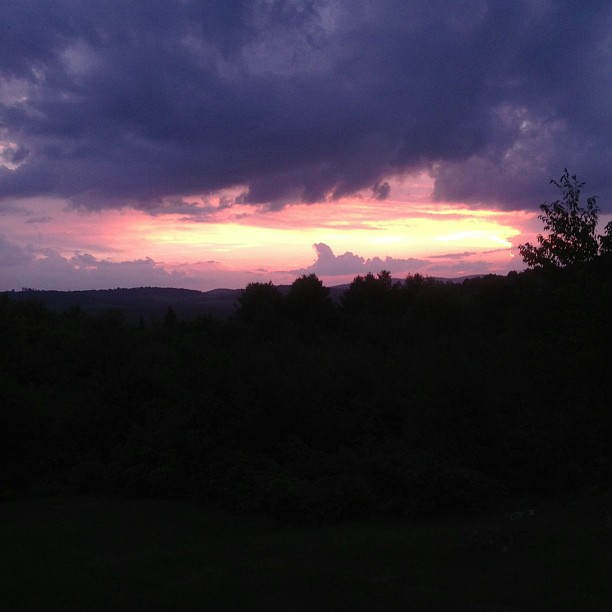
"LOW CLOUDS" Vermont

Evening at East Corinth, Vermont

East Corinth, Vermont

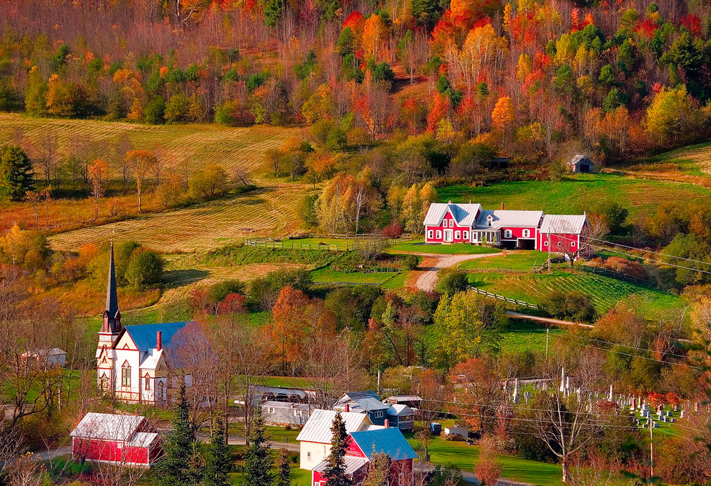
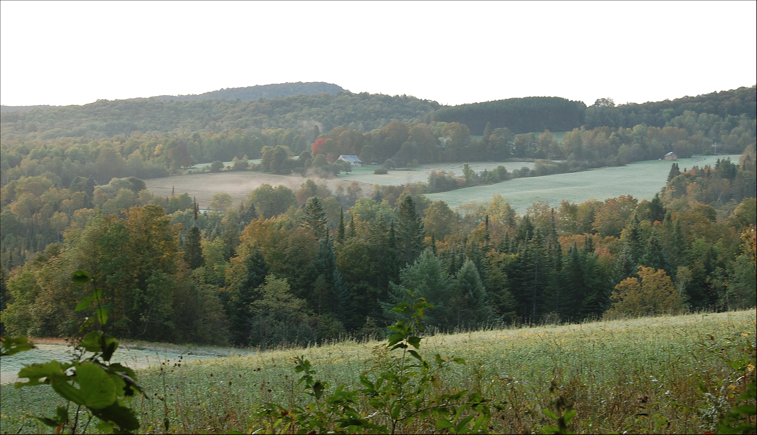
Autumn in Vermont
Vermont, Oct 2014
The Bit of Vermont We Got To See
Vermont, Oct 2014
Vermont in the Fall
IMG_4752.jpg
Oh, wait! I think it's getting prettier! #ilovethecabin
East Orange
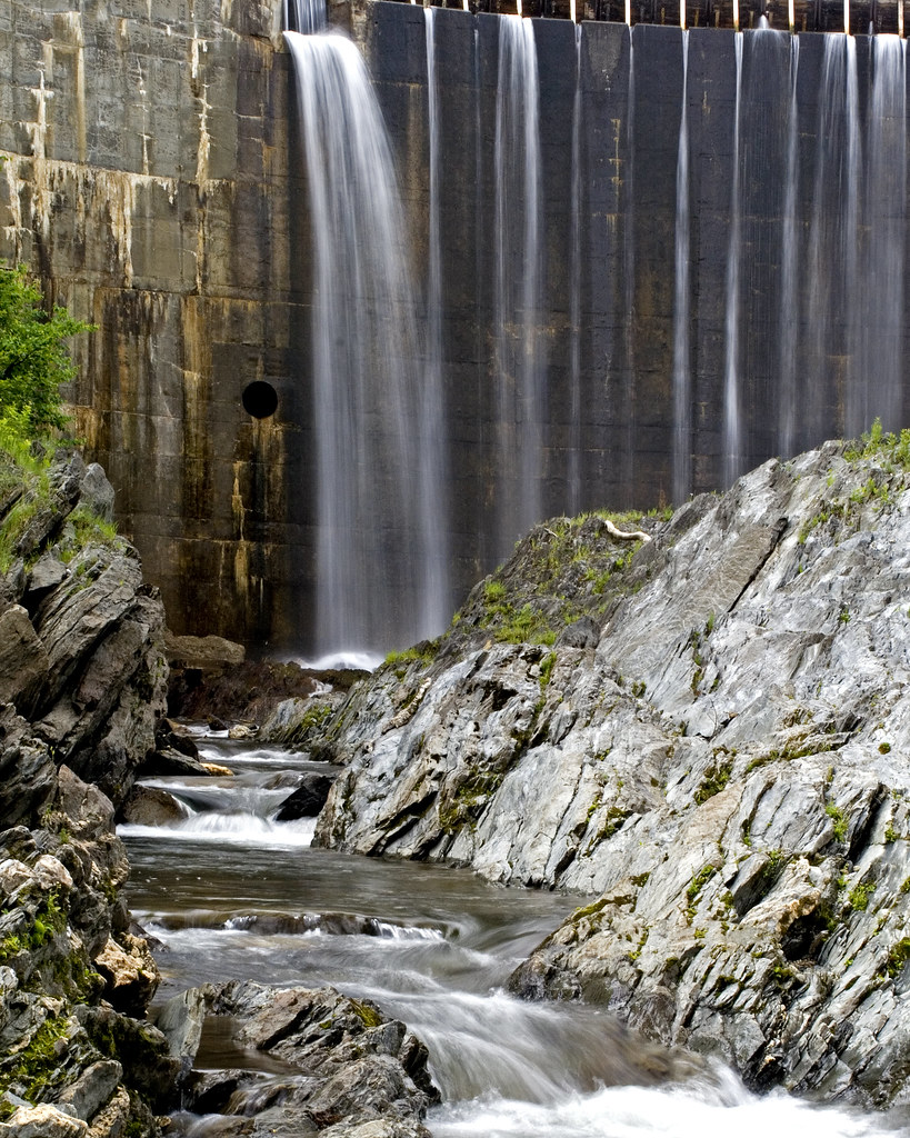
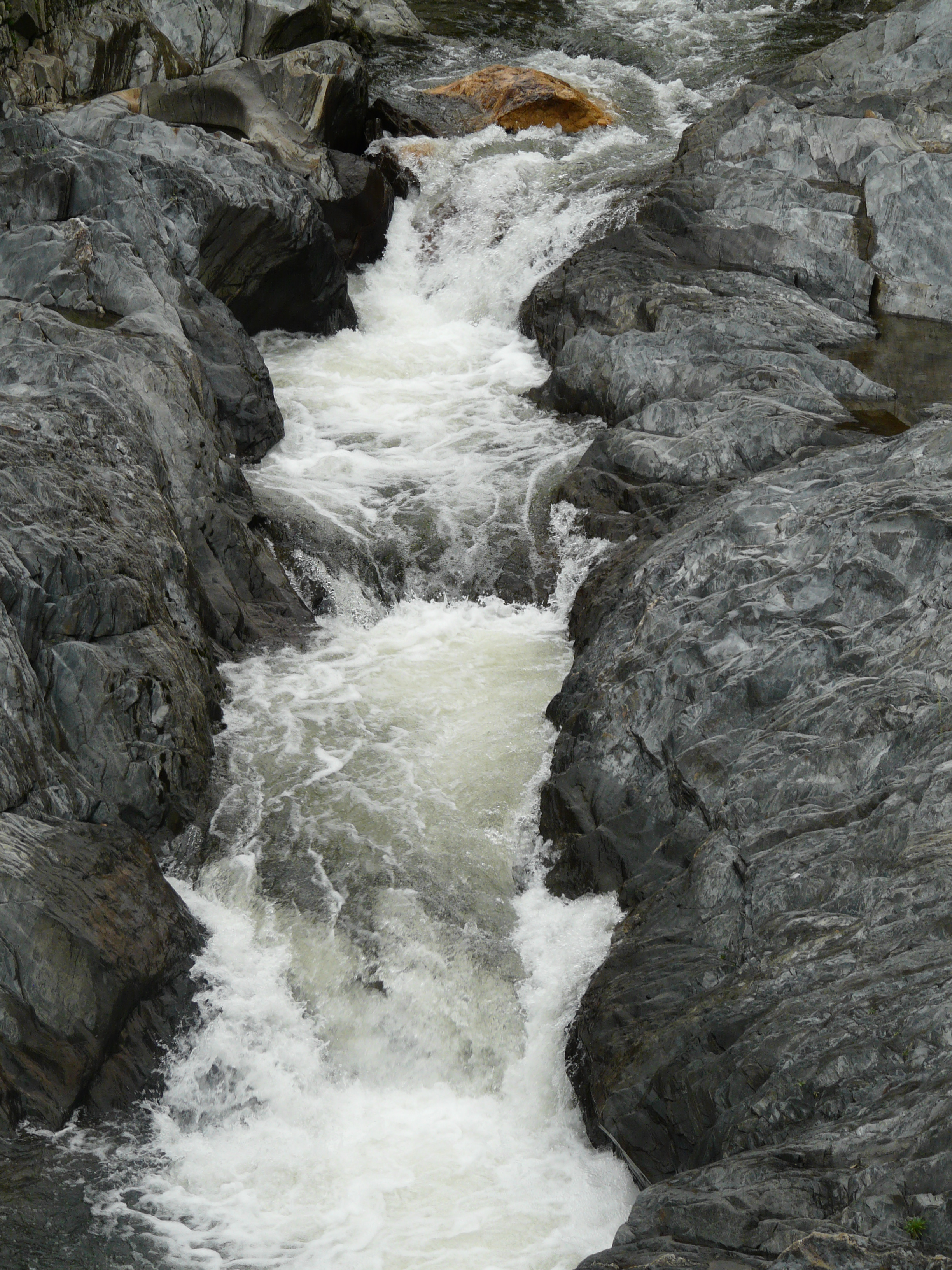
Bradford Dam
Perfect day for the classic cabin shot. #nofilter #ilovethecabin

Vermont Country Road

Waits River

Many cows
New England 2010 125
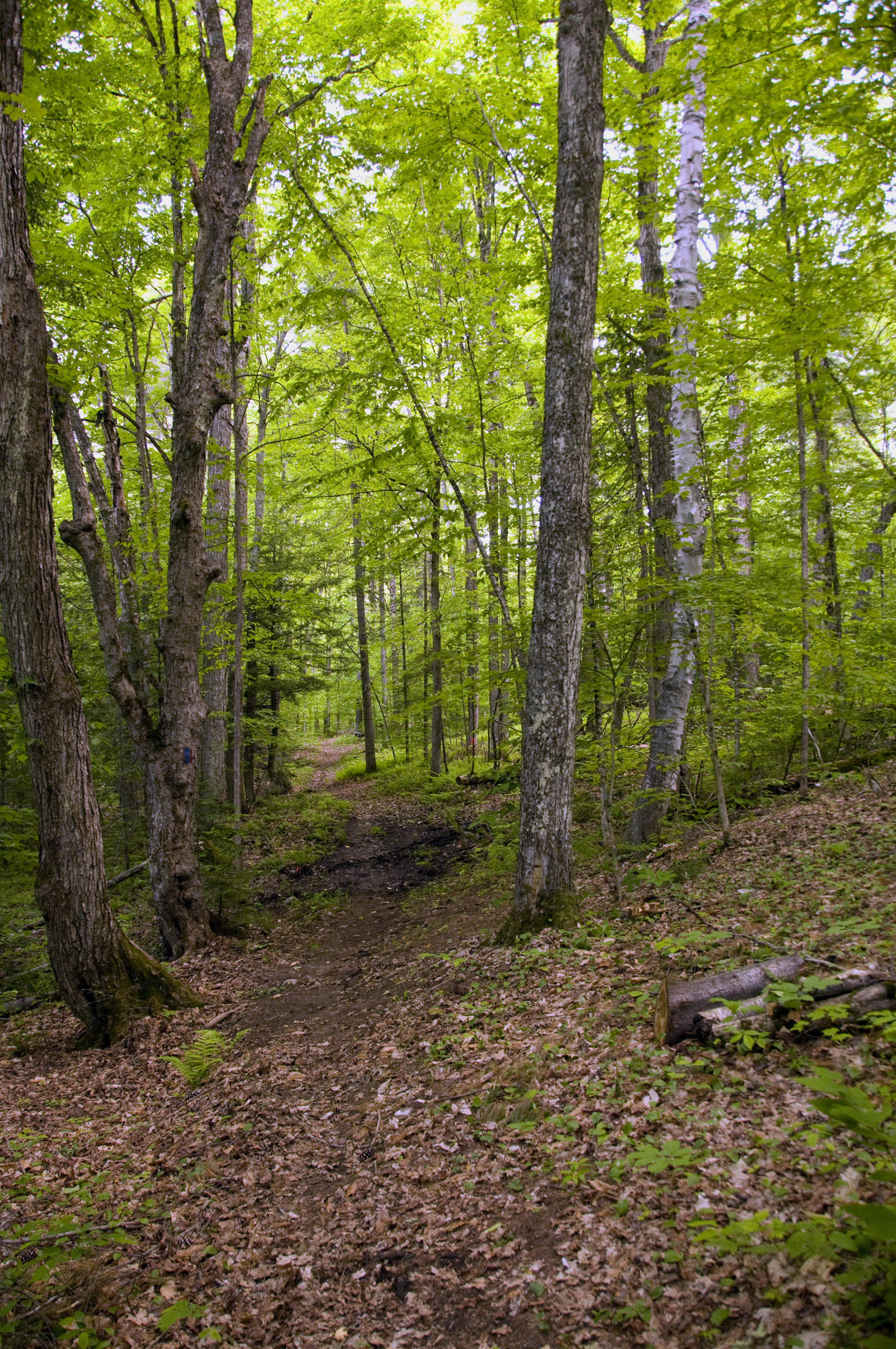
Woodsy Path
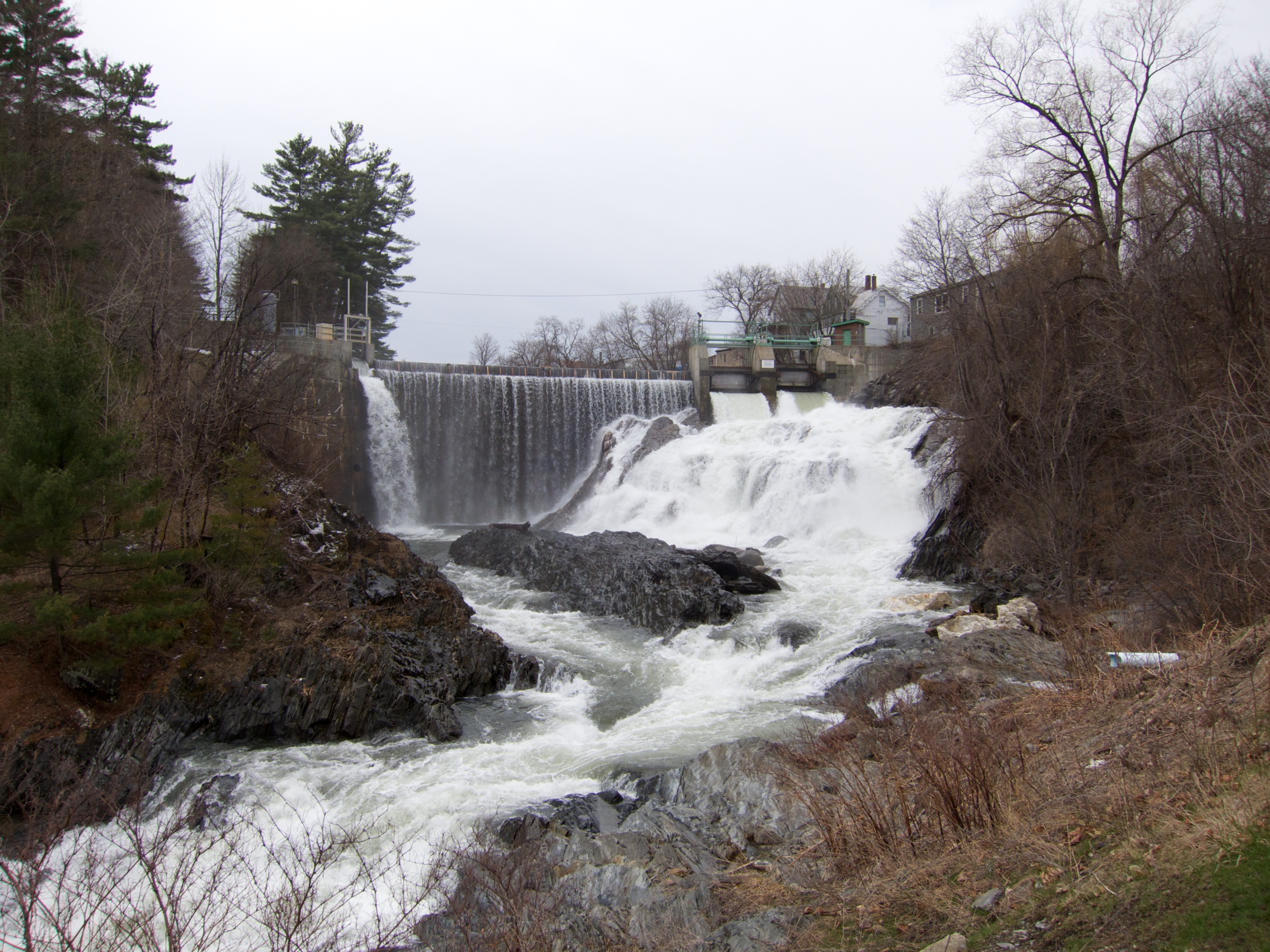
Bradford Dam
9/17/12
Topographic Map of Copper Mine Rd, Corinth, VT, USA
Find elevation by address:

Places near Copper Mine Rd, Corinth, VT, USA:
2340 Richardson Rd
1078 Pike Hill Rd
Corinth
Brook Road
10872 Vt-25
10872 Vt-25
194 Miller Rd
261 Vt-25
121 Watson Hill Rd
Cookeville Rd, Corinth, VT, USA
1547 Chelsea Rd
515 Tucker Pl
East Corinth
West Topsham
VT-25, West Topsham, VT, USA
474 Vt-25
E Orange Rd, Orange, VT, USA
203 Backway Rd
4871 Chelsea Rd
383 Ryder Rd
Recent Searches:
- Elevation of Zimmer Trail, Pennsylvania, USA
- Elevation of 87 Kilmartin Ave, Bristol, CT, USA
- Elevation of Honghe National Nature Reserve, QP95+PJP, Tongjiang, Heilongjiang, Jiamusi, Heilongjiang, China
- Elevation of Hercules Dr, Colorado Springs, CO, USA
- Elevation of Szlak pieszy czarny, Poland
- Elevation of Griffing Blvd, Biscayne Park, FL, USA
- Elevation of Kreuzburger Weg 13, Düsseldorf, Germany
- Elevation of Gateway Blvd SE, Canton, OH, USA
- Elevation of East W.T. Harris Boulevard, E W.T. Harris Blvd, Charlotte, NC, USA
- Elevation of West Sugar Creek, Charlotte, NC, USA