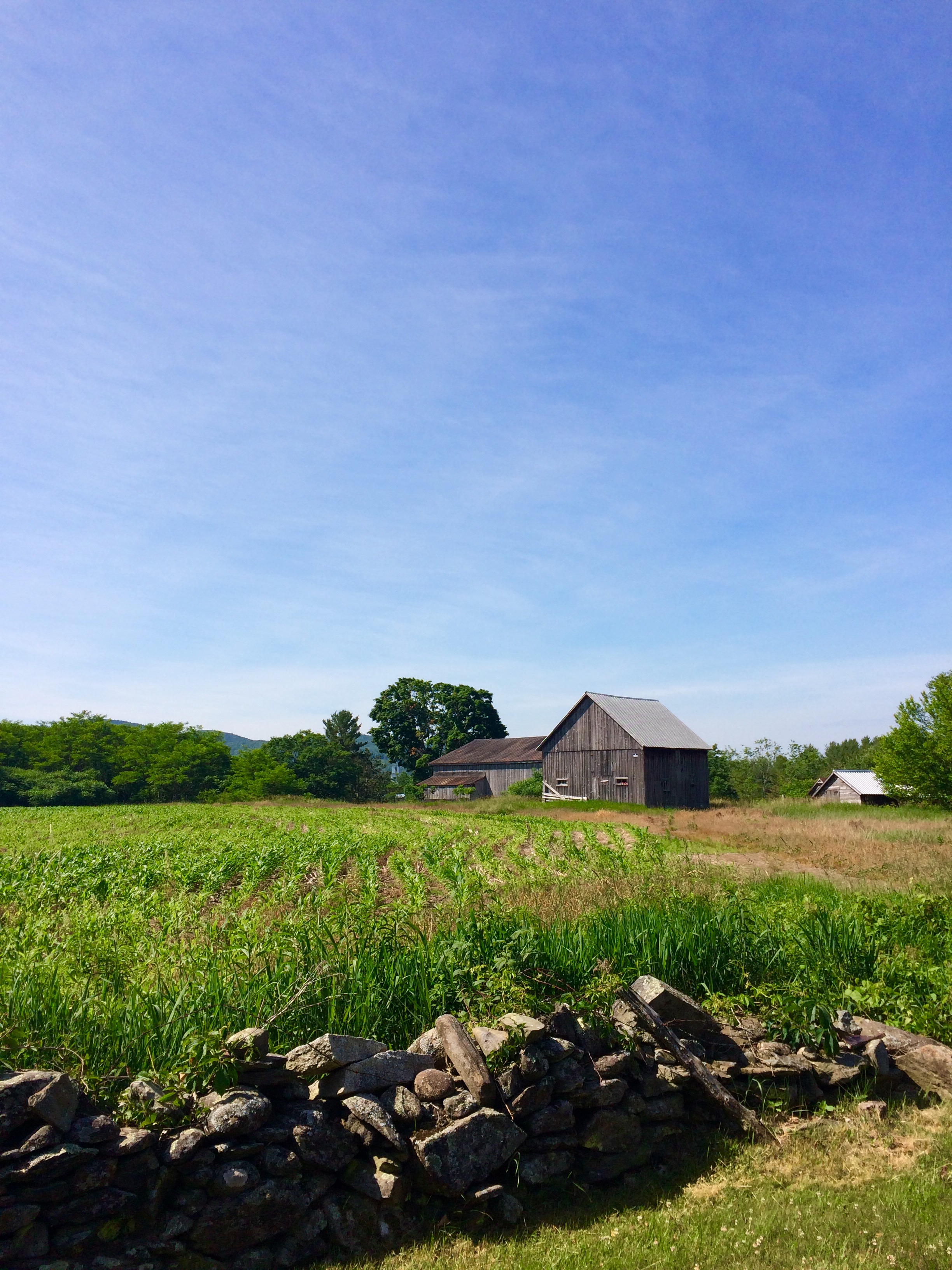
Elevation of Cross Rd, Bradford, VT, USA
Location: United States > Vermont > Orange County > Bradford >
Longitude: -72.1605
Latitude: 43.977913
Elevation: 261m / 856feet
Barometric Pressure: 98KPa
Elevation Map:
Satellite Map:
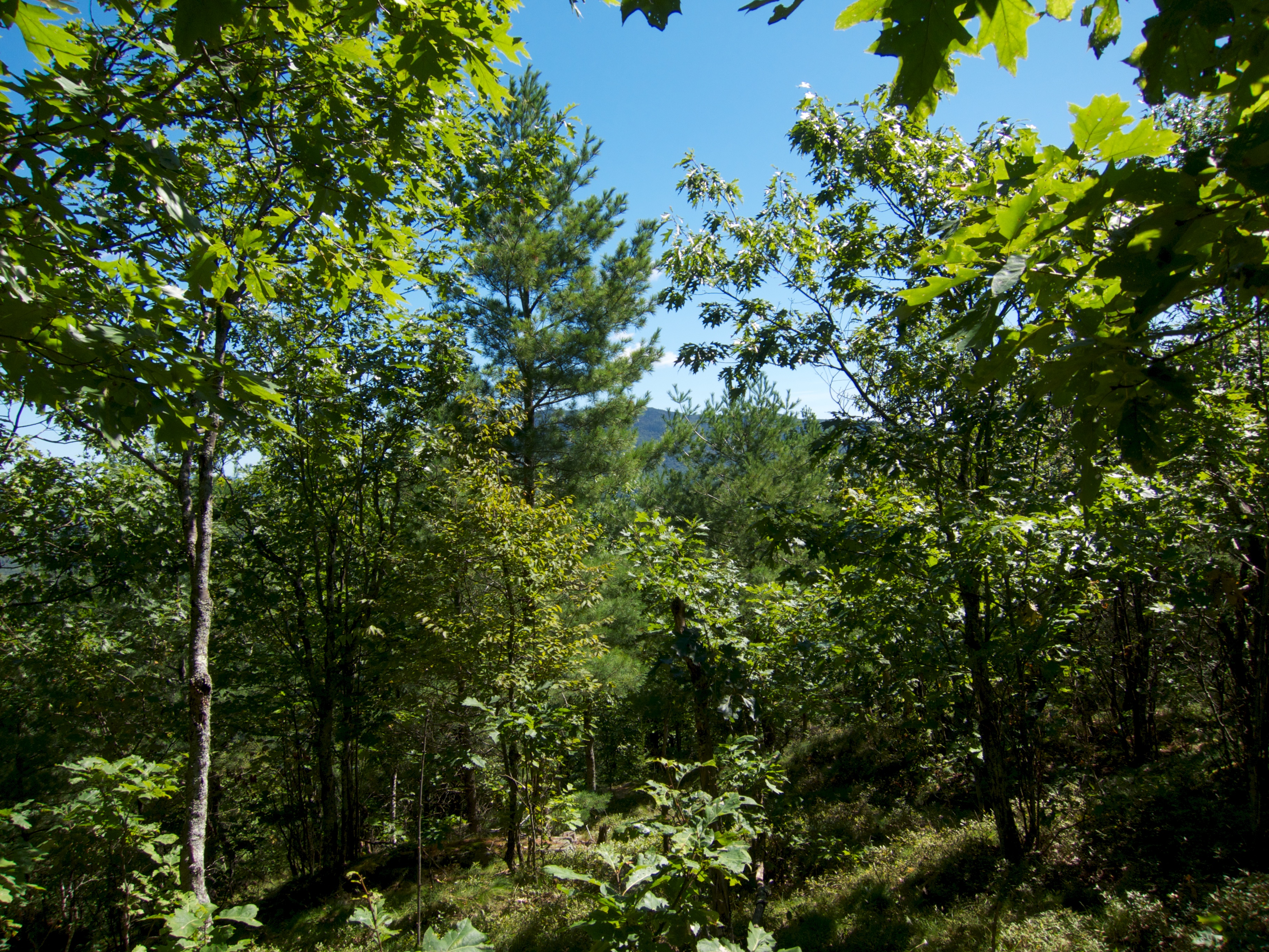
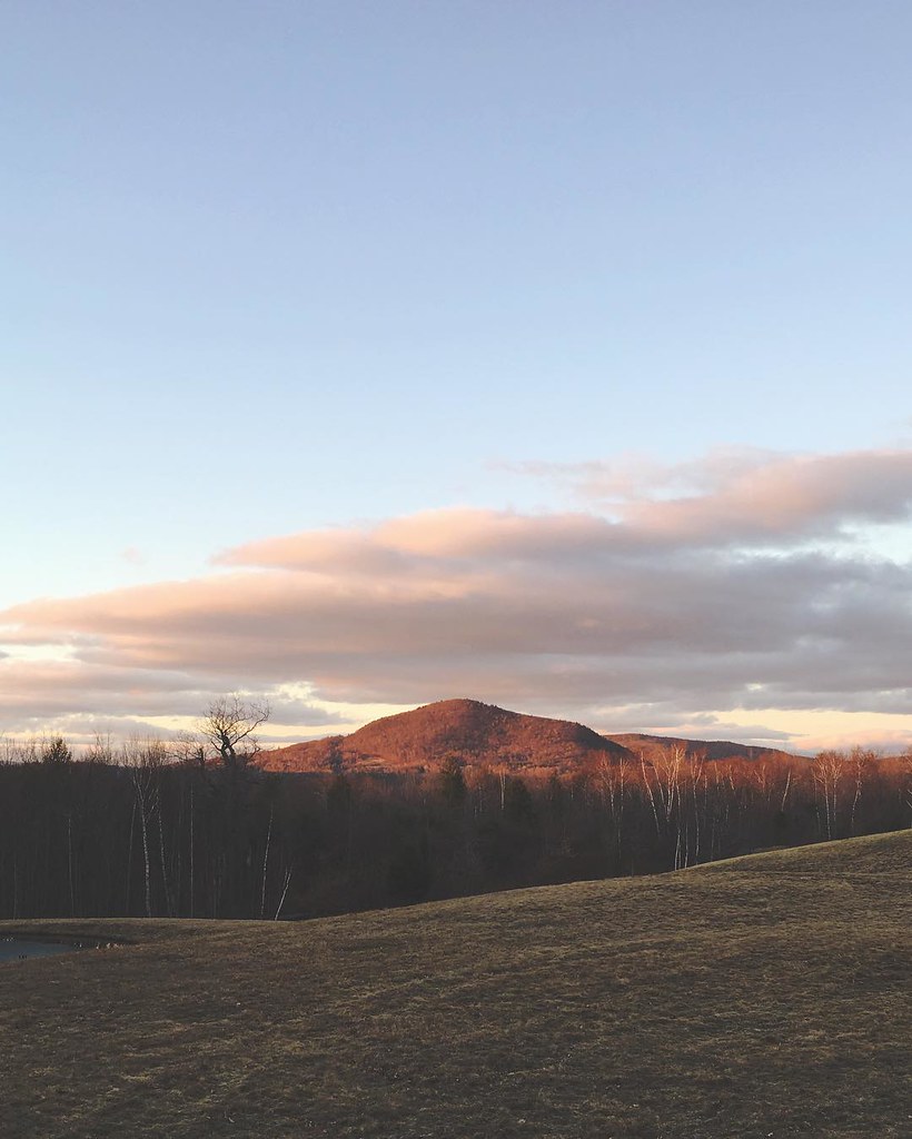
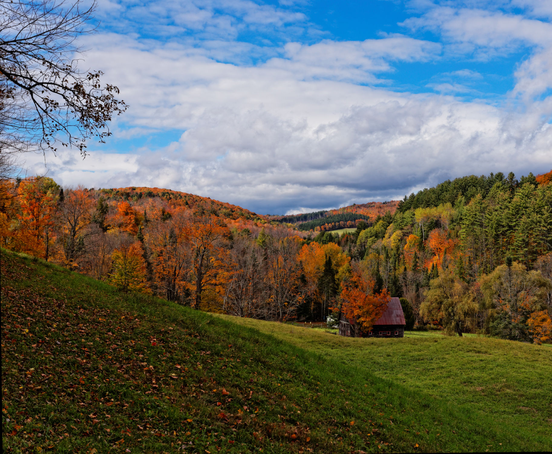
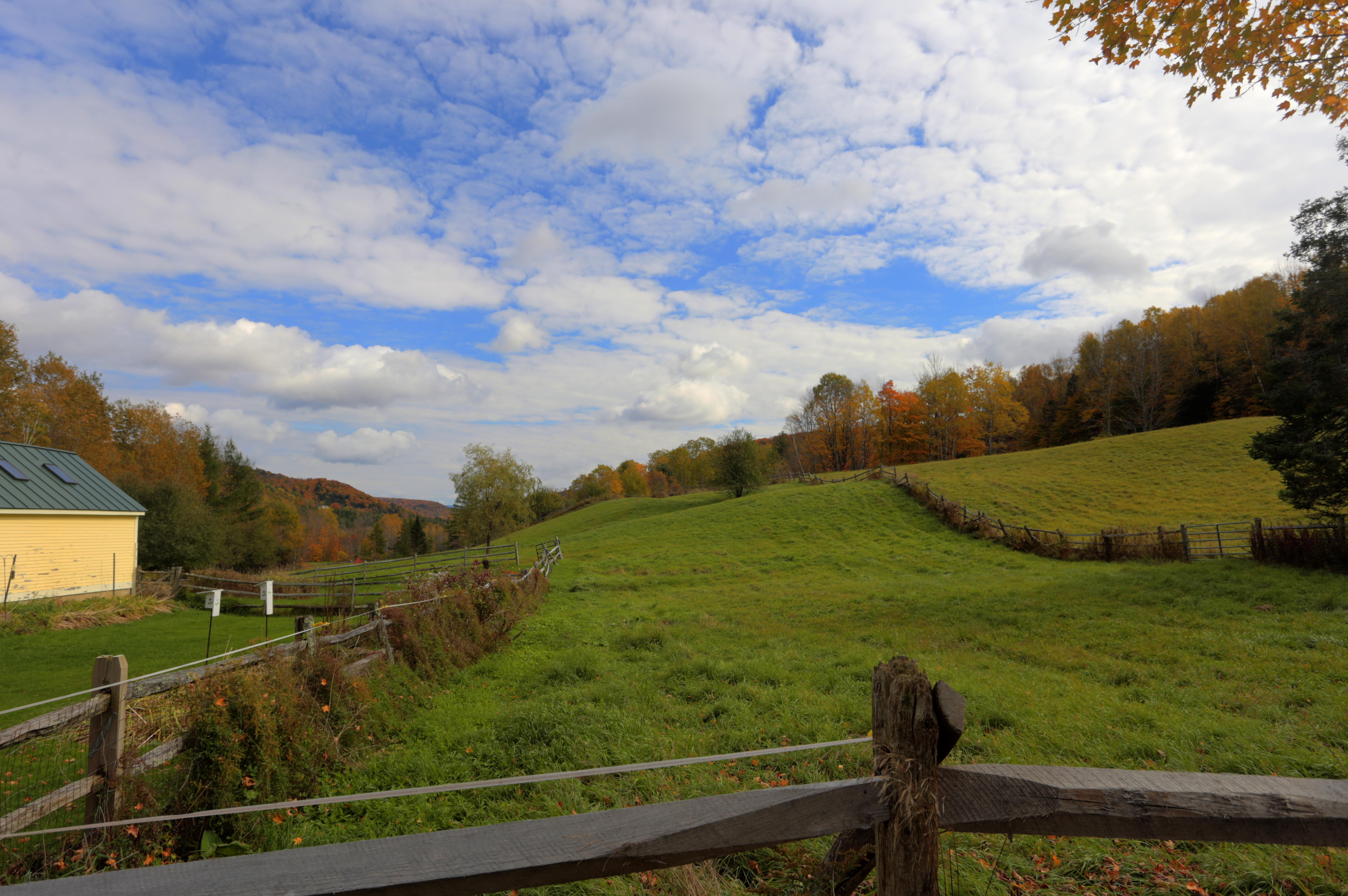
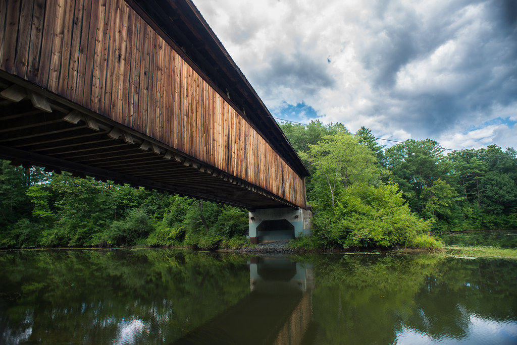
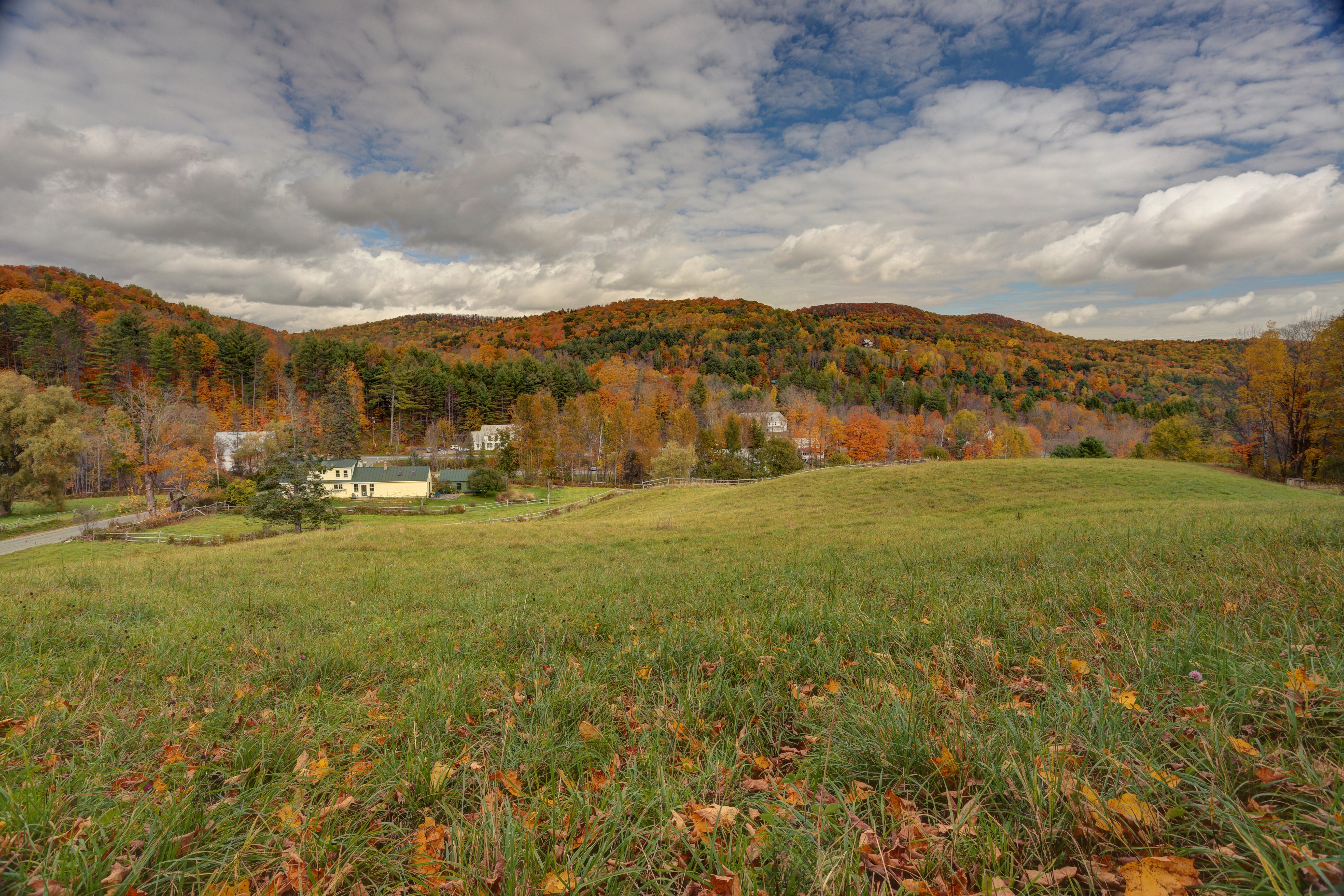
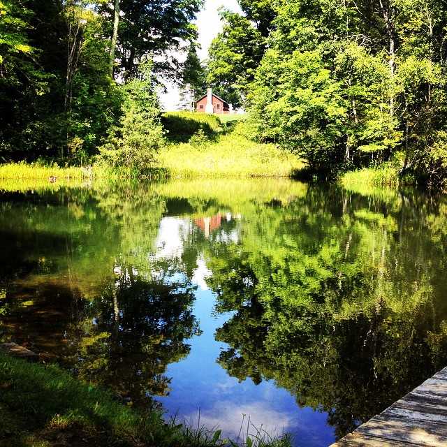
Related Photos:

Almost forgot to post this... this...

A Beautiful View

91NB-Exit16-17
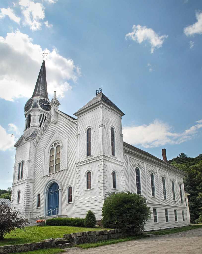
Congregational Church of Bradford, Vermont

2011-TO SD03-View from bridge
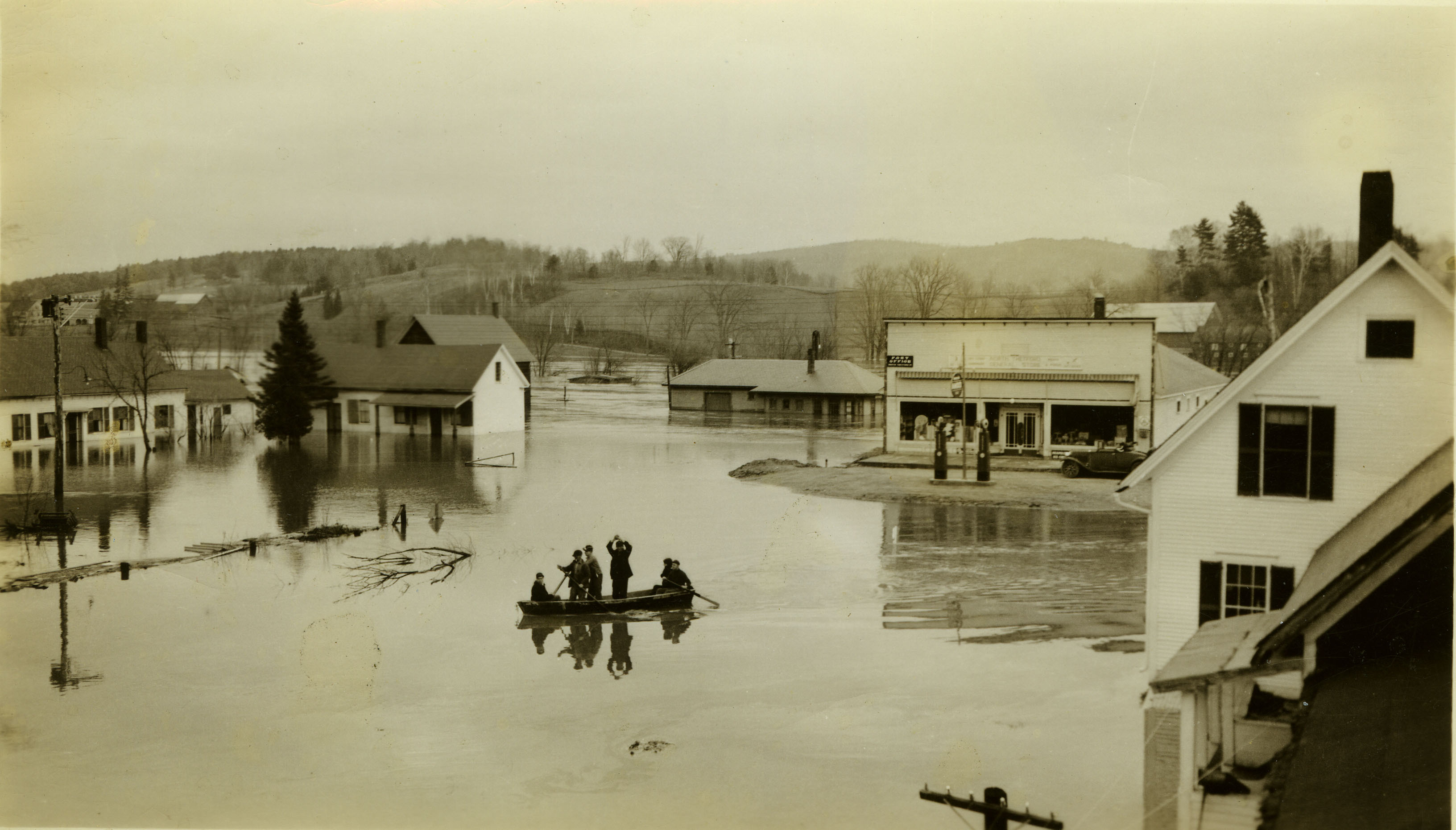
North Thetford - Flood of 1936
Good morning, Cabin! (View from the outhouse) #nofilter #cabinlove
Lyme-Dorcheter Rd to New Hampshire 25A
Peabody Library and Lake Street
North Thetford Bridge from Lyme
North Thetford, Looking Southeast
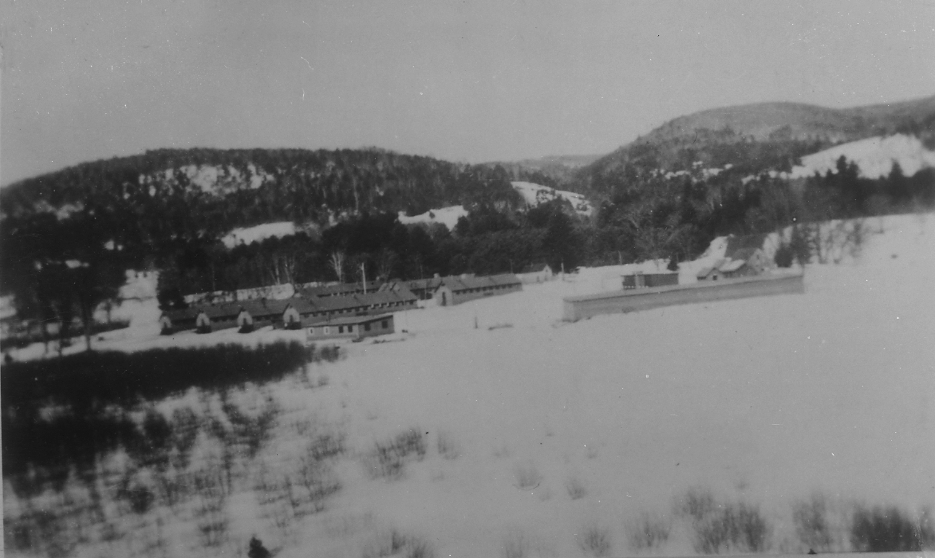
CCC Camp
The view from Jack's dorm towards main campus
North Thetford School House (District 2)
Cow Pasture and Mount Moosilauke
mountain school panorama

Another view

Room with a view

View of the cliffs from below

View from the bed. Somehow waking up early just doesn't hurt so much at the Cabin.
Sunday Mountain Summit View

Glen Falls (VT)
????
"LOW CLOUDS" Vermont

Cold starry night.

orange hawkweed

While photographing a Nordic skating event...

Fairlee Palisades
Vermont, Oct 2014

A break in the wall and a wide path of ferns. I wonder..... Morning walk #9 #ilovethecabin

Winter Sunset
Vermont, Oct 2014

IMGP2816 2009 sept b

Glen Falls, Fairlee, VT

Ruby Throated Hummingbird
Edgell Bridge in Lyme, NH
Vermont in the Fall
September - a photo a day of thankfulness. And I'm only a day late starting. . Day one - thankful to be able to take this picture almost every year.
next to the cemetery

Fairlee Palisades
Topographic Map of Cross Rd, Bradford, VT, USA
Find elevation by address:

Places near Cross Rd, Bradford, VT, USA:
2175 S Rd
Bradford
Main Street
598 Tarbox Rd
596 Tarbox Rd
Goshen Road
36 Oxbow Dr
110 Wrights Mountain Rd
5786 Waits River Rd
200 Wrights Mountain Rd
Blue Spruce Drive
1163 Fairground Rd
220 Wrights Mountain Rd
250 Wrights Mountain Rd
115 Sheep Meadow Ln
285 Wrights Mountain Rd
280 Wrights Mountain Rd
300 Wrights Mountain Rd
Fairground Road
Moore Lane
Recent Searches:
- Elevation of Spaceport America, Co Rd A, Truth or Consequences, NM, USA
- Elevation of Warwick, RI, USA
- Elevation of Fern Rd, Whitmore, CA, USA
- Elevation of 62 Abbey St, Marshfield, MA, USA
- Elevation of Fernwood, Bradenton, FL, USA
- Elevation of Felindre, Swansea SA5 7LU, UK
- Elevation of Leyte Industrial Development Estate, Isabel, Leyte, Philippines
- Elevation of W Granada St, Tampa, FL, USA
- Elevation of Pykes Down, Ivybridge PL21 0BY, UK
- Elevation of Jalan Senandin, Lutong, Miri, Sarawak, Malaysia