Elevation of Fairground Rd, Bradford, VT, USA
Location: United States > Vermont > Orange County > Bradford >
Longitude: -72.117165
Latitude: 44.016712
Elevation: 220m / 722feet
Barometric Pressure: 99KPa
Elevation Map:
Satellite Map:
Related Photos:

East Corinth, Vermont

Milky Way over Vermont Village

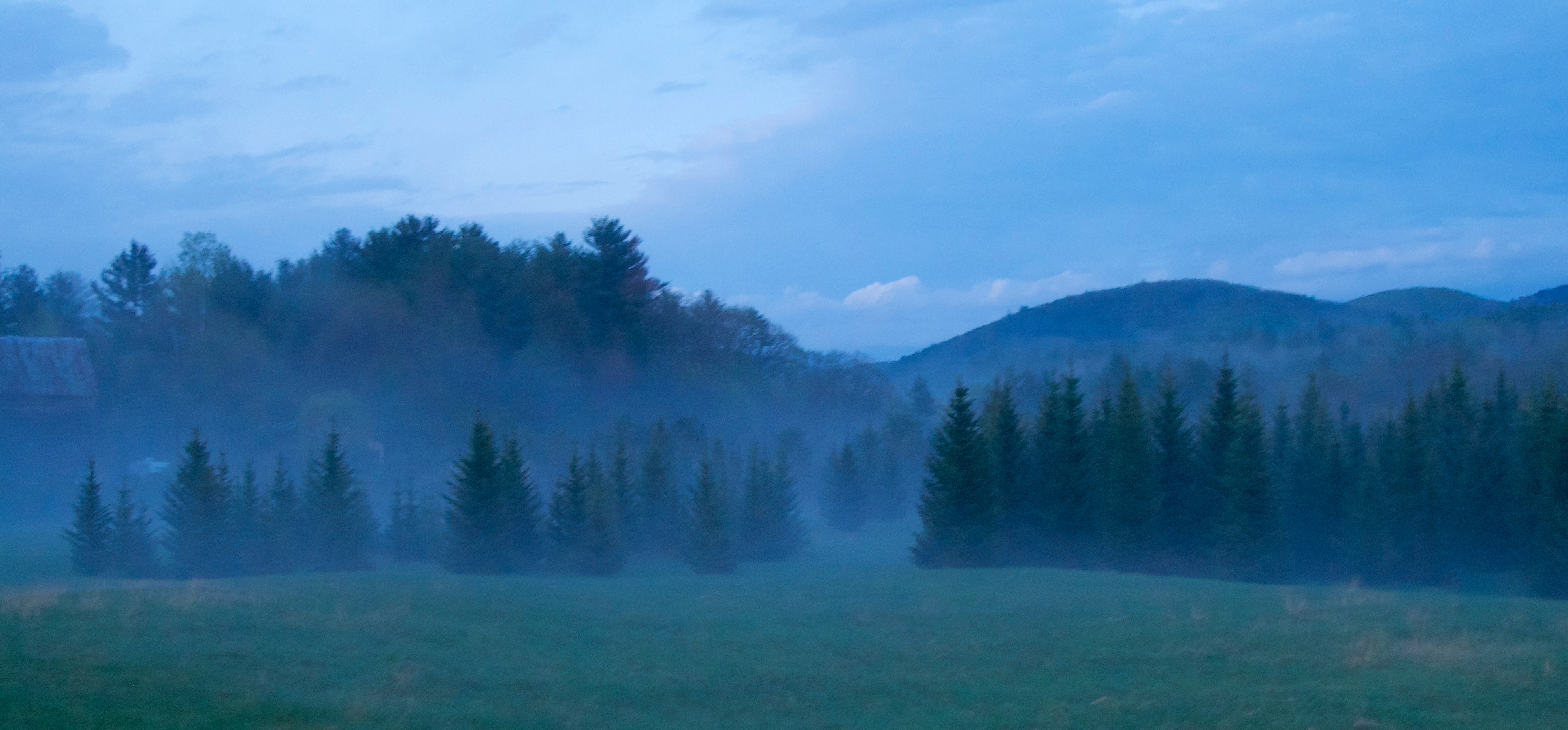
Evening at East Corinth, Vermont
Orford, NH

Winter Sunset

Cold starry night.

next to the cemetery

Glen Falls, Fairlee, VT
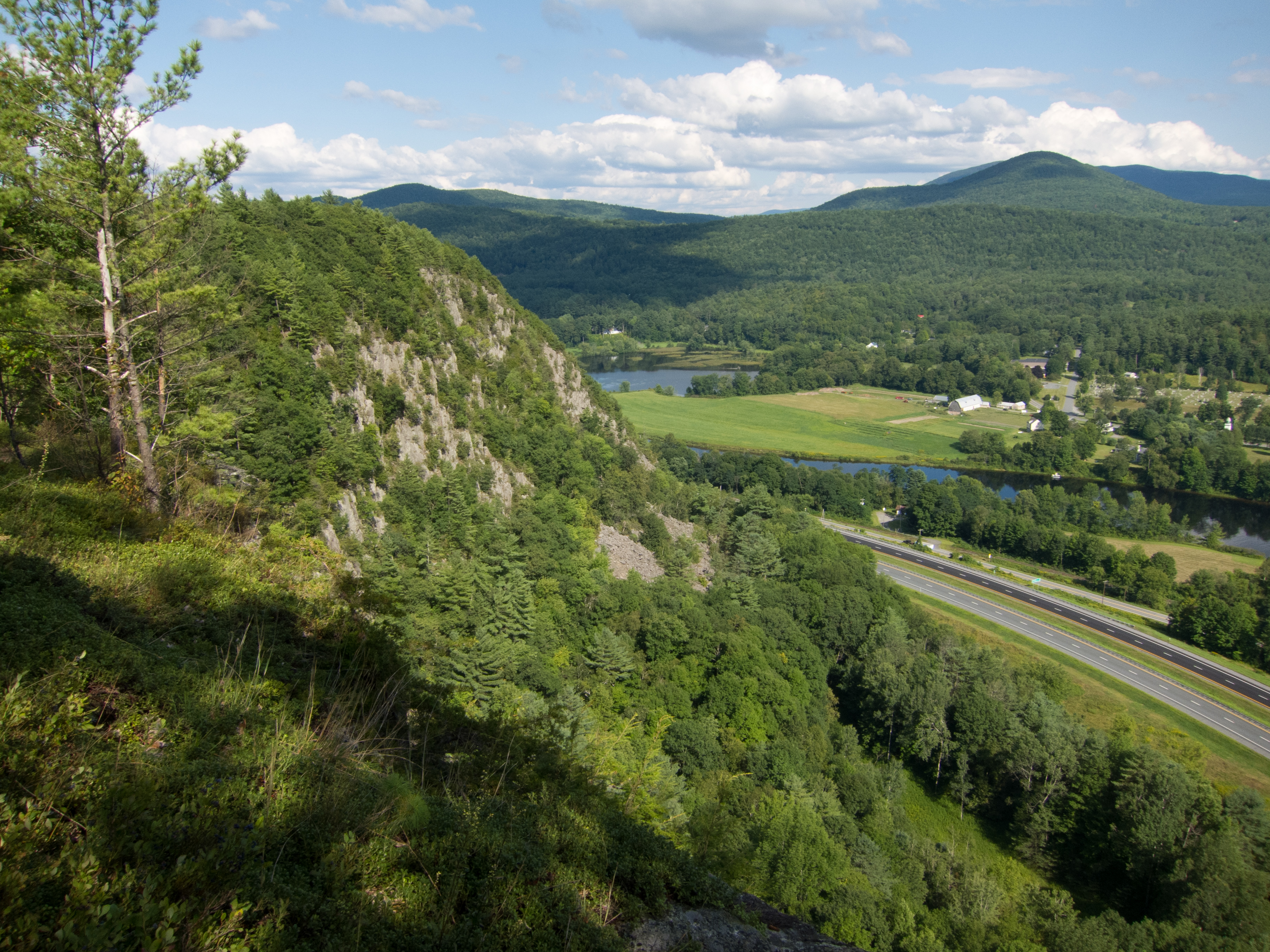
Fairlee Palisades

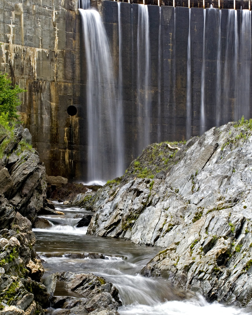
Glen Falls (VT)

Downstream from Glen Falls, VT 1

Downstream from Glen Falls, VT 2

Wright’s Mountain
Bradford Dam

Spring or Autumn?

Reflections on the Connecticut River

dandelion meadow

Orford, NH

In my mother's footsteps

Bedell Covered Bridge- Grafton County NH (3)

Lake Morey
Topographic Map of Fairground Rd, Bradford, VT, USA
Find elevation by address:

Places near Fairground Rd, Bradford, VT, USA:
Fairground Road
Moore Lane
Moore Lane
Blue Spruce Drive
36 Oxbow Dr
1815 Fairground Rd
Goshen Road
Bradford
Main Street
596 Tarbox Rd
598 Tarbox Rd
Snake Rd, Newbury, VT, USA
447 Cross Rd
Piermont
Wrights Mountain Trail
200 Wrights Mountain Rd
110 Wrights Mountain Rd
220 Wrights Mountain Rd
250 Wrights Mountain Rd
280 Wrights Mountain Rd
Recent Searches:
- Elevation of Congressional Dr, Stevensville, MD, USA
- Elevation of Bellview Rd, McLean, VA, USA
- Elevation of Stage Island Rd, Chatham, MA, USA
- Elevation of Shibuya Scramble Crossing, 21 Udagawacho, Shibuya City, Tokyo -, Japan
- Elevation of Jadagoniai, Kaunas District Municipality, Lithuania
- Elevation of Pagonija rock, Kranto 7-oji g. 8"N, Kaunas, Lithuania
- Elevation of Co Rd 87, Jamestown, CO, USA
- Elevation of Tenjo, Cundinamarca, Colombia
- Elevation of Côte-des-Neiges, Montreal, QC H4A 3J6, Canada
- Elevation of Bobcat Dr, Helena, MT, USA