Elevation of Snake Rd, Newbury, VT, USA
Location: United States > Vermont > Orange County > Newbury >
Longitude: -72.124443
Latitude: 44.064735
Elevation: 277m / 909feet
Barometric Pressure: 98KPa
Elevation Map:
Satellite Map:
Related Photos:
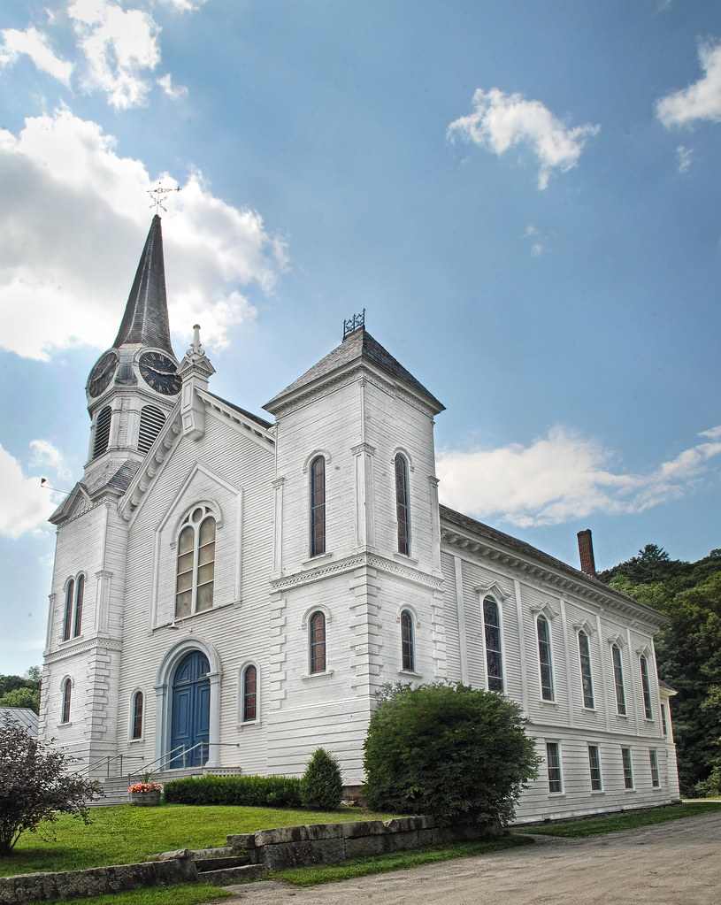
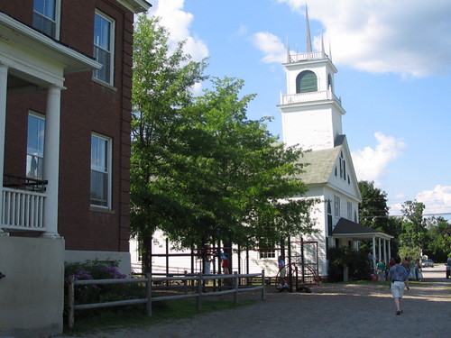
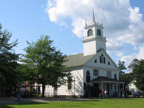
Congregational Church of Bradford, Vermont

2011-TO SD03-View from bridge
Borders of NH
Good morning, Cabin! (View from the outhouse) #nofilter #cabinlove
Broken Bridge

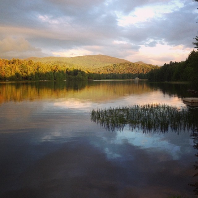
View From Black Mountain
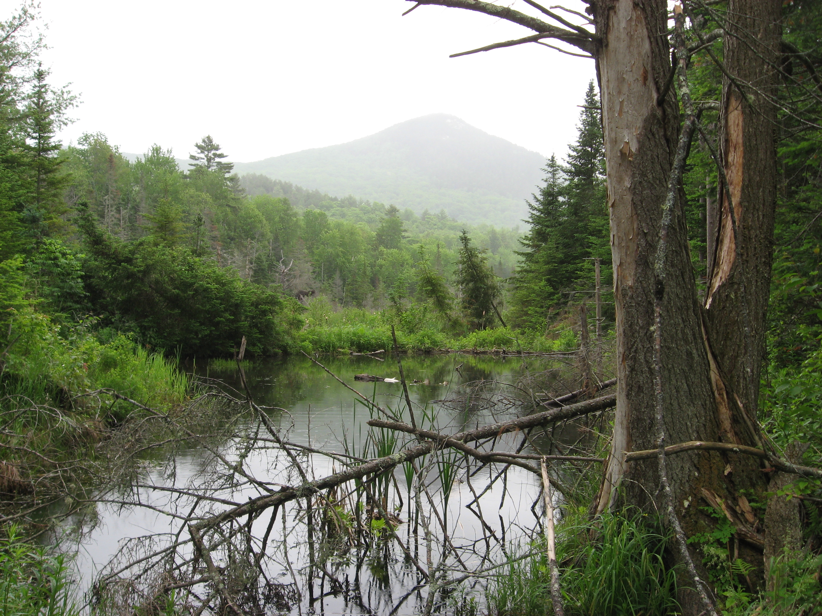
Sugarloaf Mountain through the mist
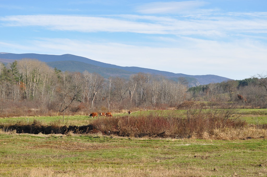
Cow Pasture and Mount Moosilauke

View From Black Mountain

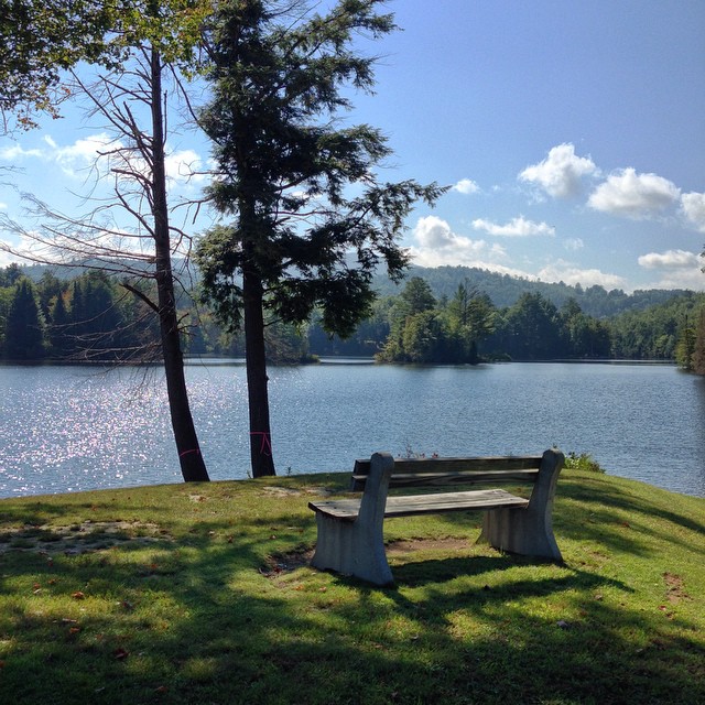
Room with a view
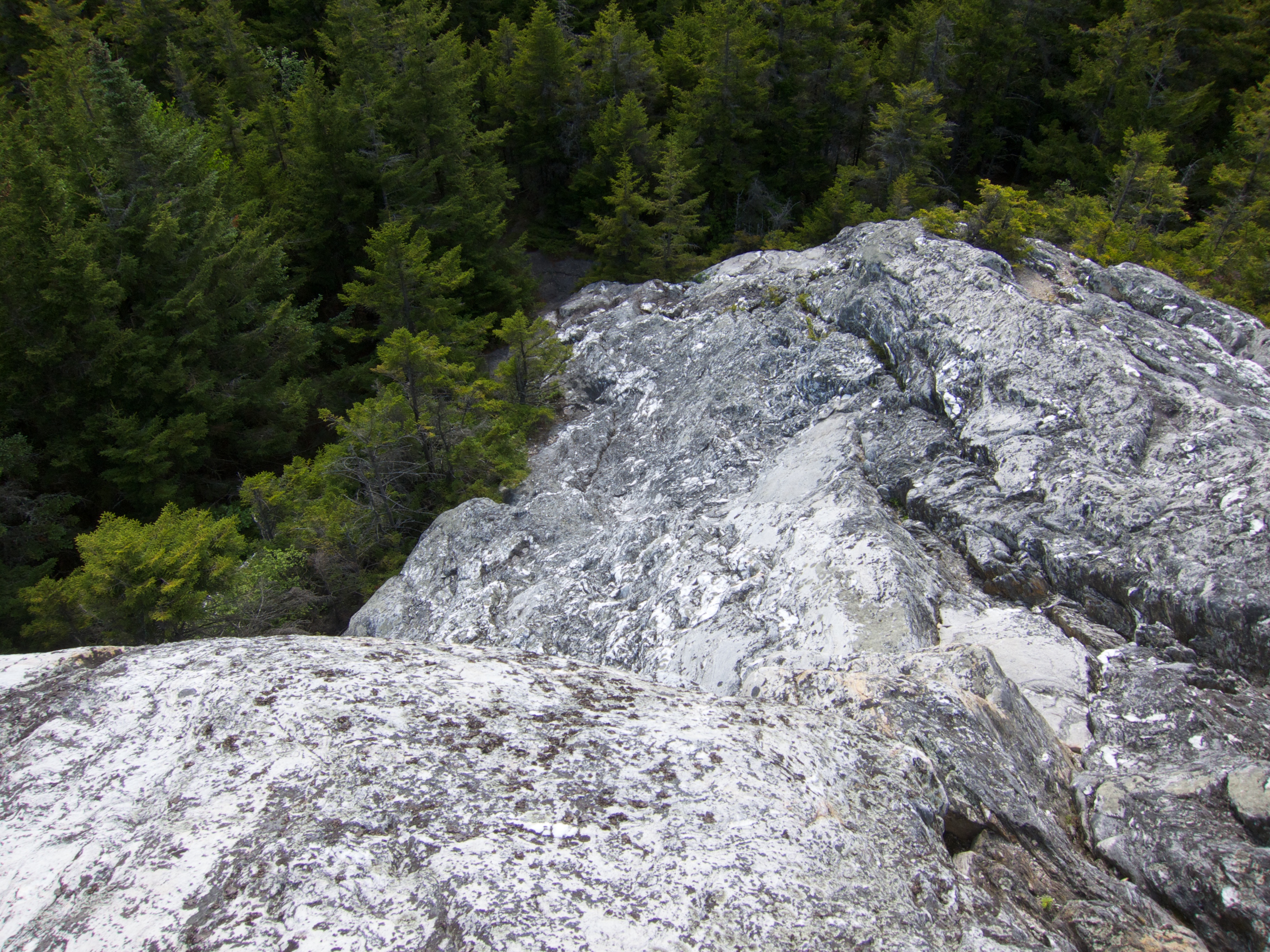
View Down Black Mountain

View from the bed. Somehow waking up early just doesn't hurt so much at the Cabin.

View From Black Mountain
Another View of the Church
From the Green

A Beautiful View
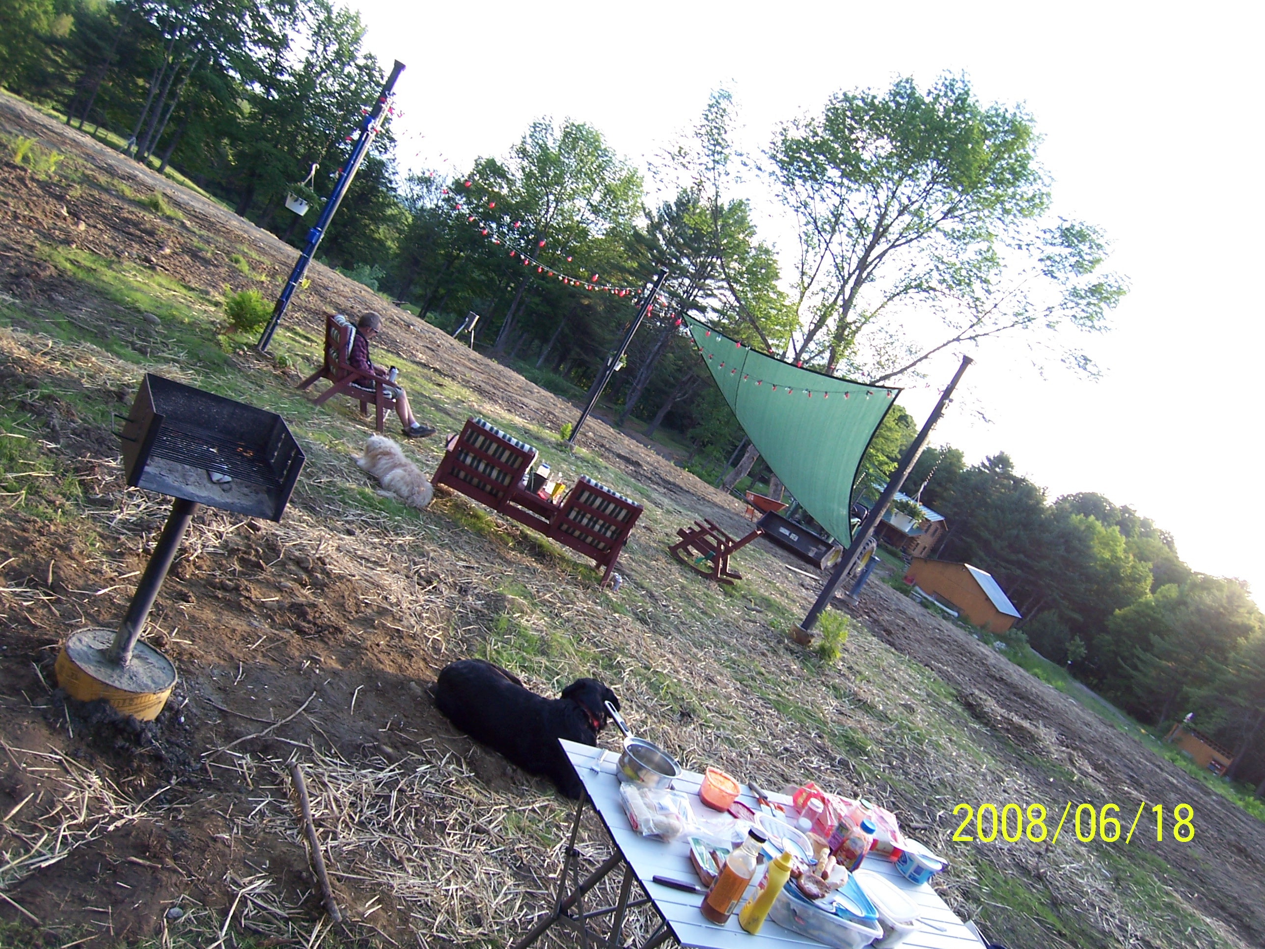
Back view of the sun sail
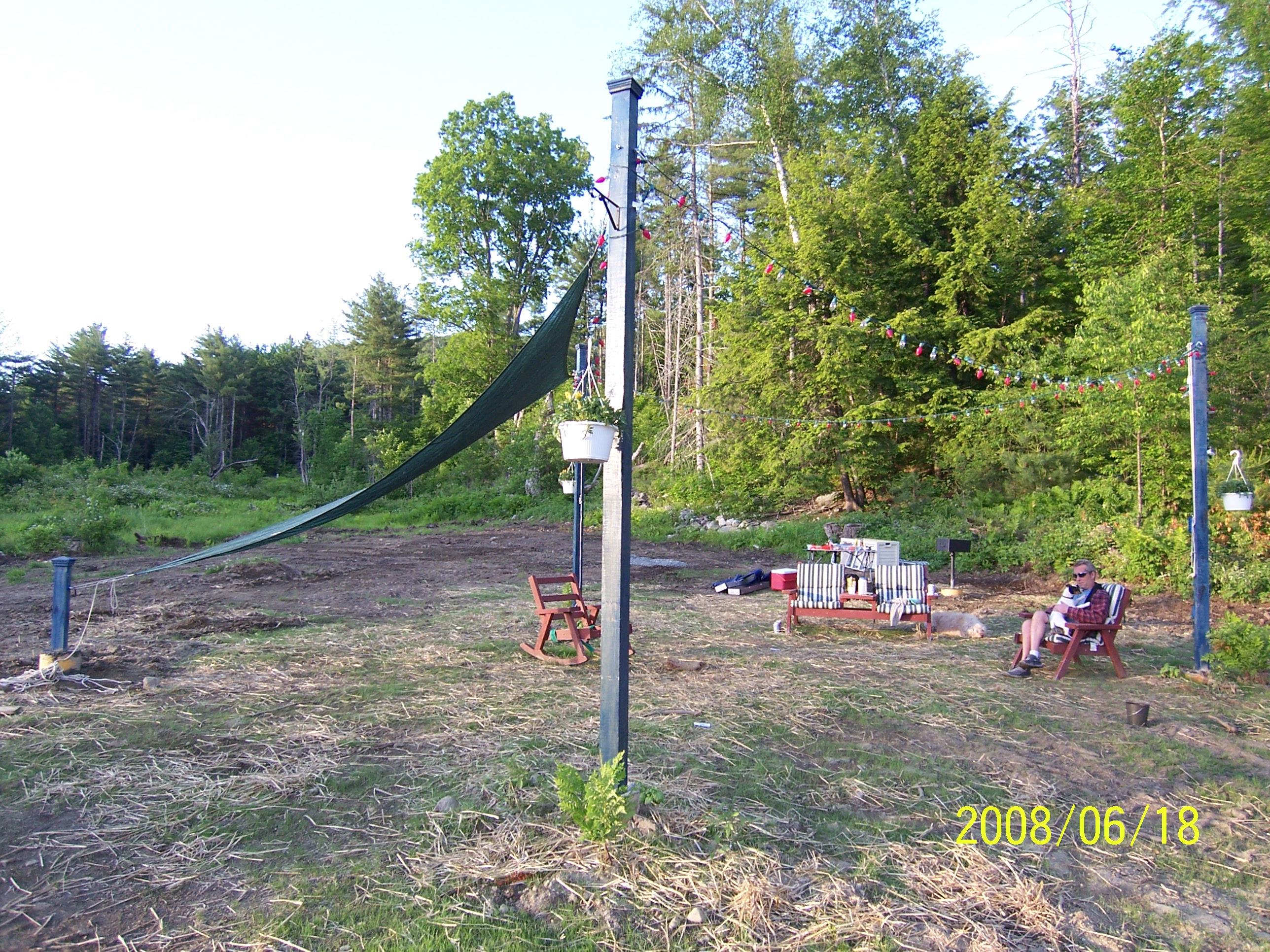
Side view
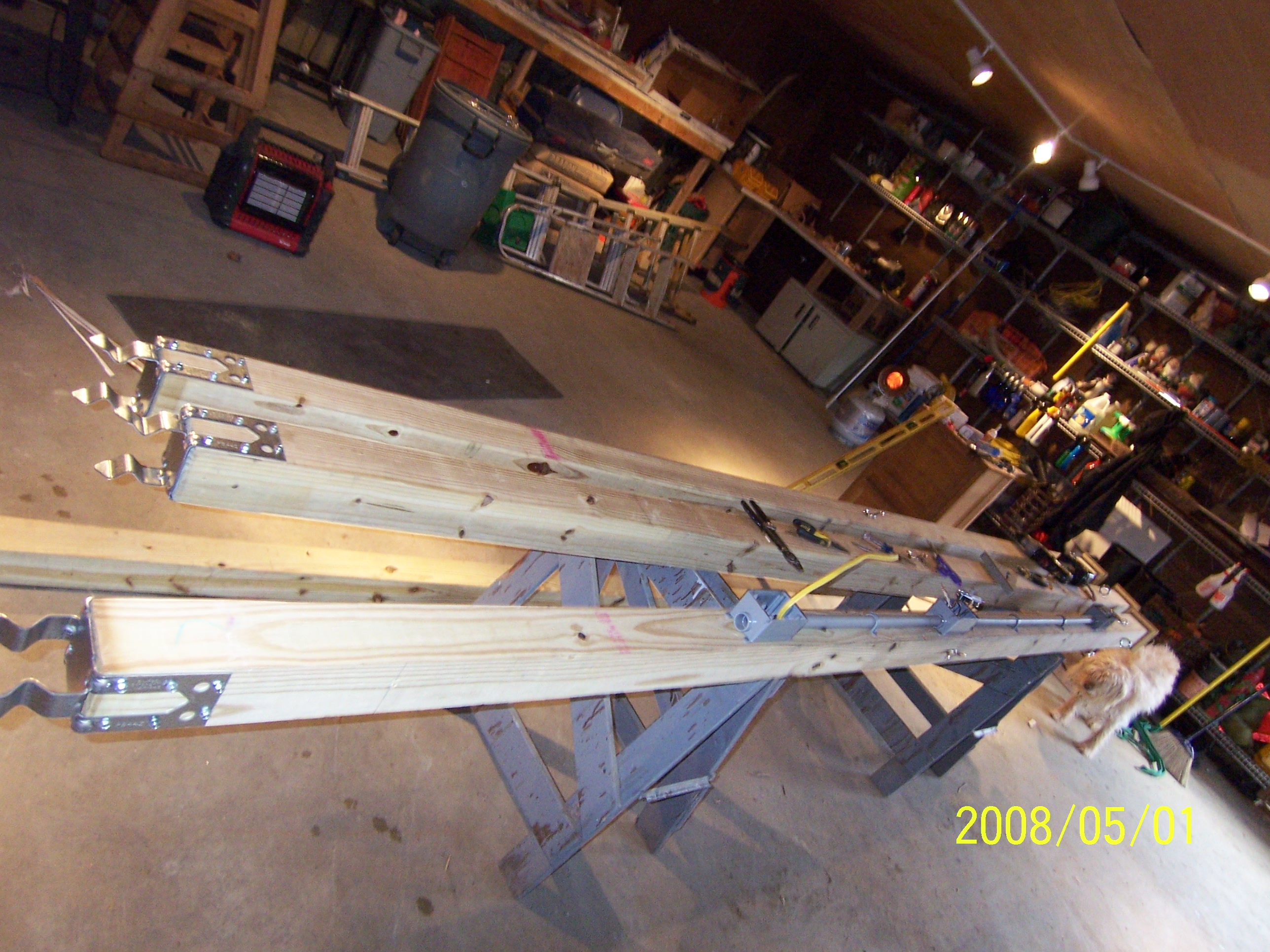
Poles for Sun Sail

91NB-Exit16-17

Glen Falls, Fairlee, VT
Downstream from Glen Falls, VT 1
Downstream from Glen Falls, VT 2
"LOW CLOUDS" Vermont
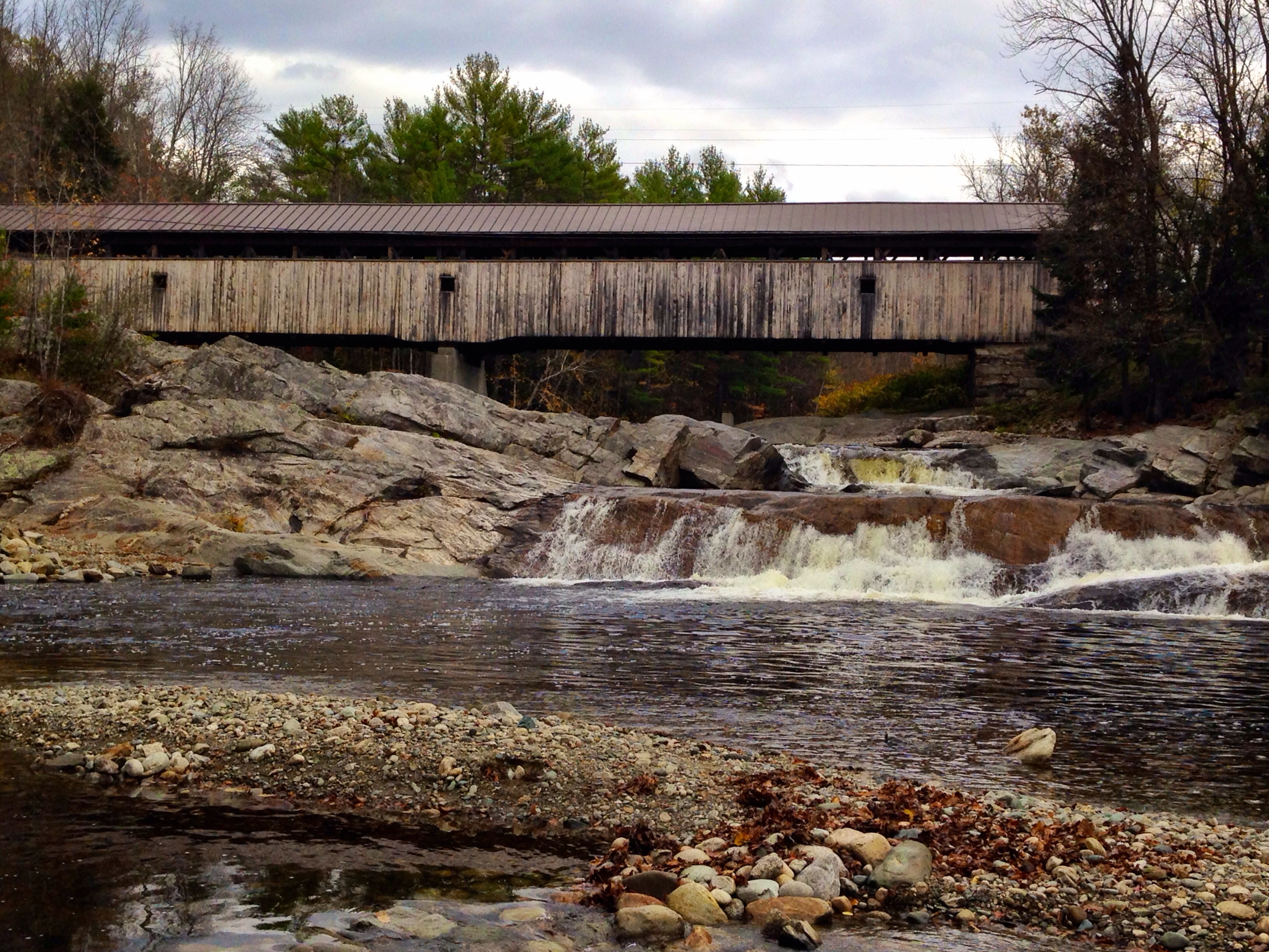
Covered Bridge
My favorite fishing spot
'Morning. #woodsville #mountainlakes #newhampshire #labordayweekend
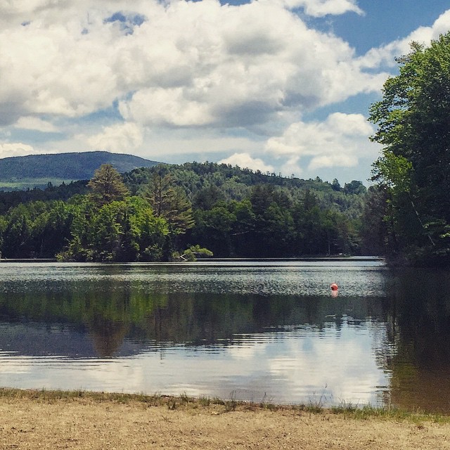
My happy place #newhampshire

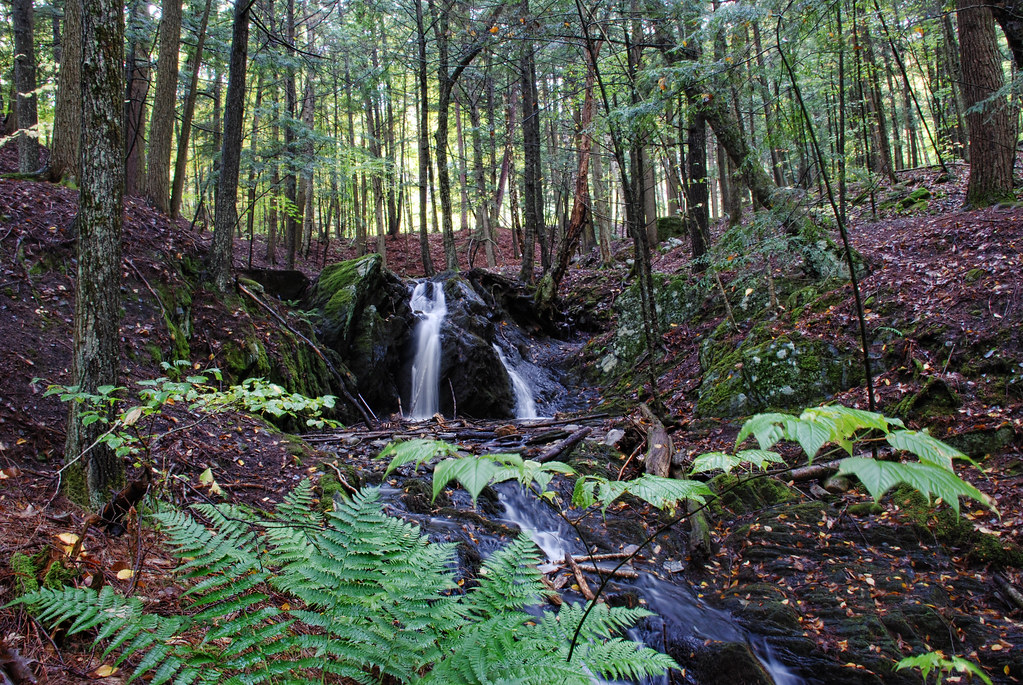
A break in the wall and a wide path of ferns. I wonder..... Morning walk #9 #ilovethecabin

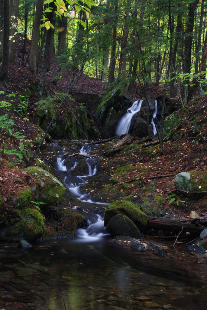
IMGP2816 2009 sept b

Ruby Throated Hummingbird
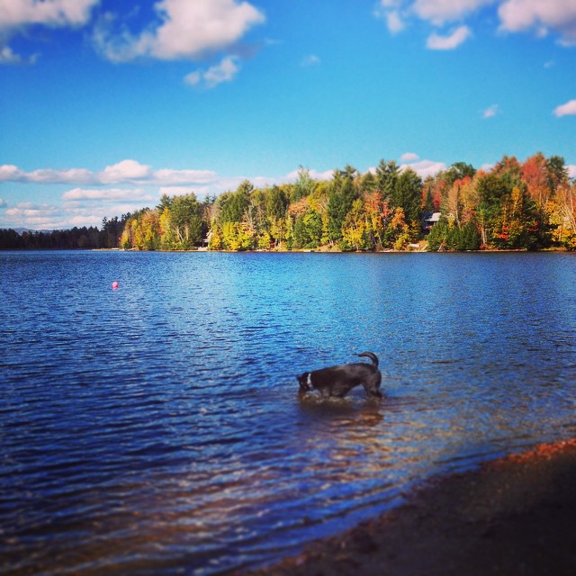
Andy is always ready for a swim! #fall
September - a photo a day of thankfulness. And I'm only a day late starting. . Day one - thankful to be able to take this picture almost every year.

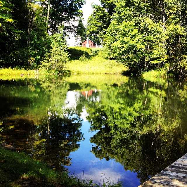
East Corinth, Vermont

hdr_00012_1.jpg

Lối Thu

Oh, wait! I think it's getting prettier! #ilovethecabin
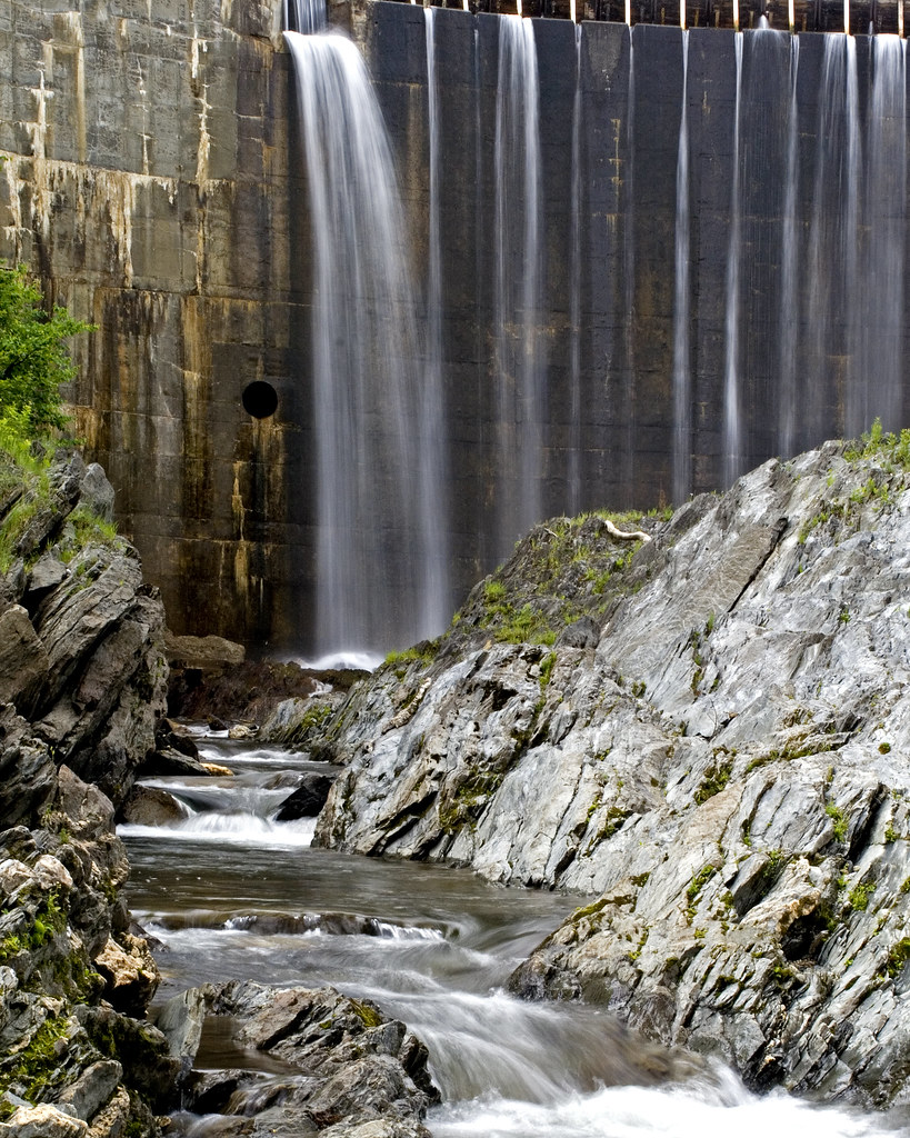
Bradford Dam
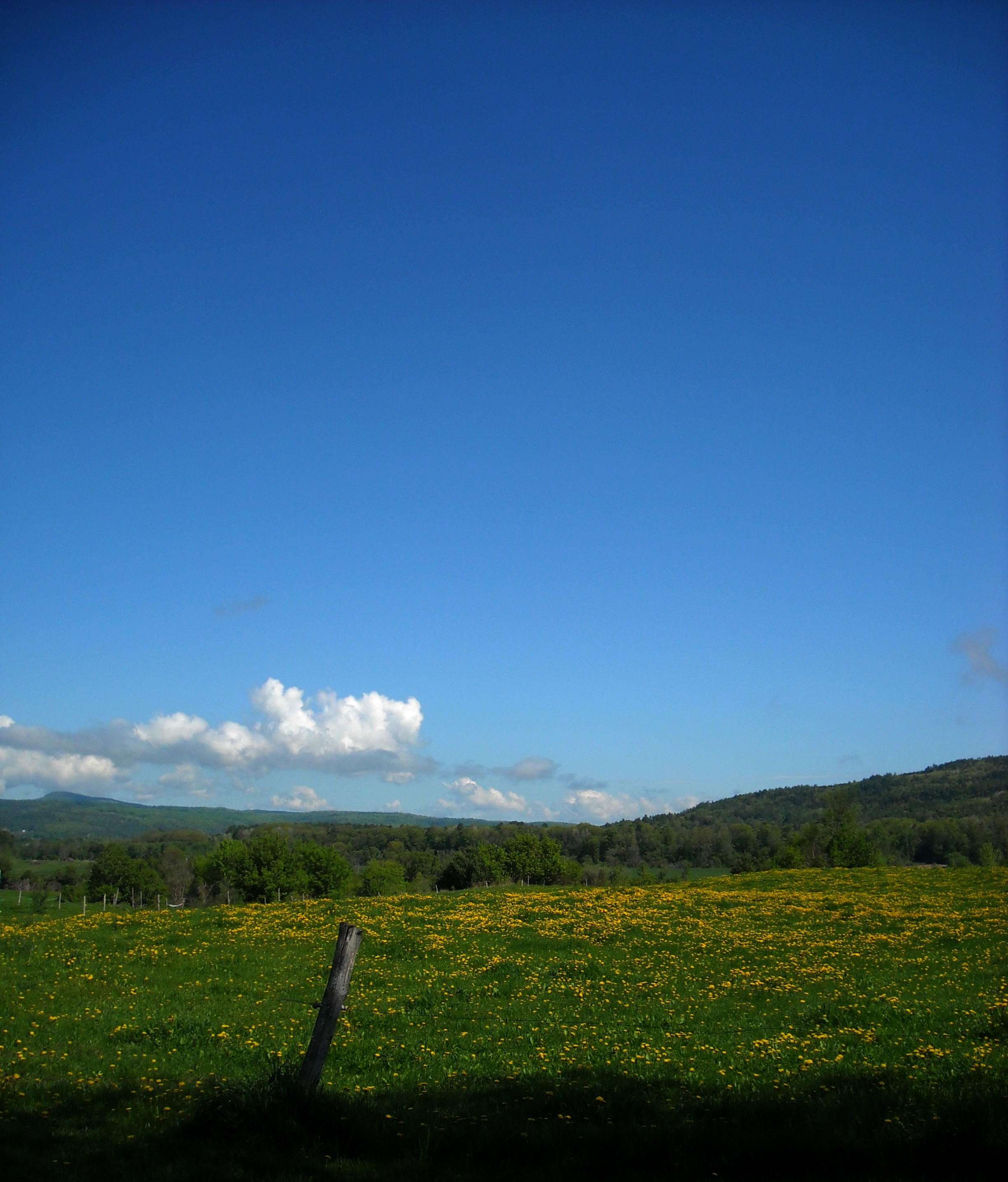
dandelion meadow
Topographic Map of Snake Rd, Newbury, VT, USA
Find elevation by address:

Places near Snake Rd, Newbury, VT, USA:
1815 Fairground Rd
Moore Lane
Moore Lane
2810 N Rd
Fairground Road
Goshen Road
Wrights Mountain Trail
1163 Fairground Rd
596 Tarbox Rd
598 Tarbox Rd
Blue Spruce Drive
36 Oxbow Dr
Fuller Road
Fuller Road
Fuller Road
300 Wrights Mountain Rd
280 Wrights Mountain Rd
250 Wrights Mountain Rd
220 Wrights Mountain Rd
200 Wrights Mountain Rd
Recent Searches:
- Elevation of Luther Road, Luther Rd, Auburn, CA, USA
- Elevation of Unnamed Road, Respublika Severnaya Osetiya — Alaniya, Russia
- Elevation of Verkhny Fiagdon, North Ossetia–Alania Republic, Russia
- Elevation of F. Viola Hiway, San Rafael, Bulacan, Philippines
- Elevation of Herbage Dr, Gulfport, MS, USA
- Elevation of Lilac Cir, Haldimand, ON N3W 2G9, Canada
- Elevation of Harrod Branch Road, Harrod Branch Rd, Kentucky, USA
- Elevation of Wyndham Grand Barbados Sam Lords Castle All Inclusive Resort, End of Belair Road, Long Bay, Bridgetown Barbados
- Elevation of Iga Trl, Maggie Valley, NC, USA
- Elevation of N Co Rd 31D, Loveland, CO, USA