Elevation of Brook Road, Brook Rd, Corinth, VT, USA
Location: United States > Vermont > Orange County > Corinth >
Longitude: -72.257945
Latitude: 44.0455142
Elevation: 315m / 1033feet
Barometric Pressure: 98KPa
Elevation Map:
Satellite Map:
Related Photos:
mountain school panorama
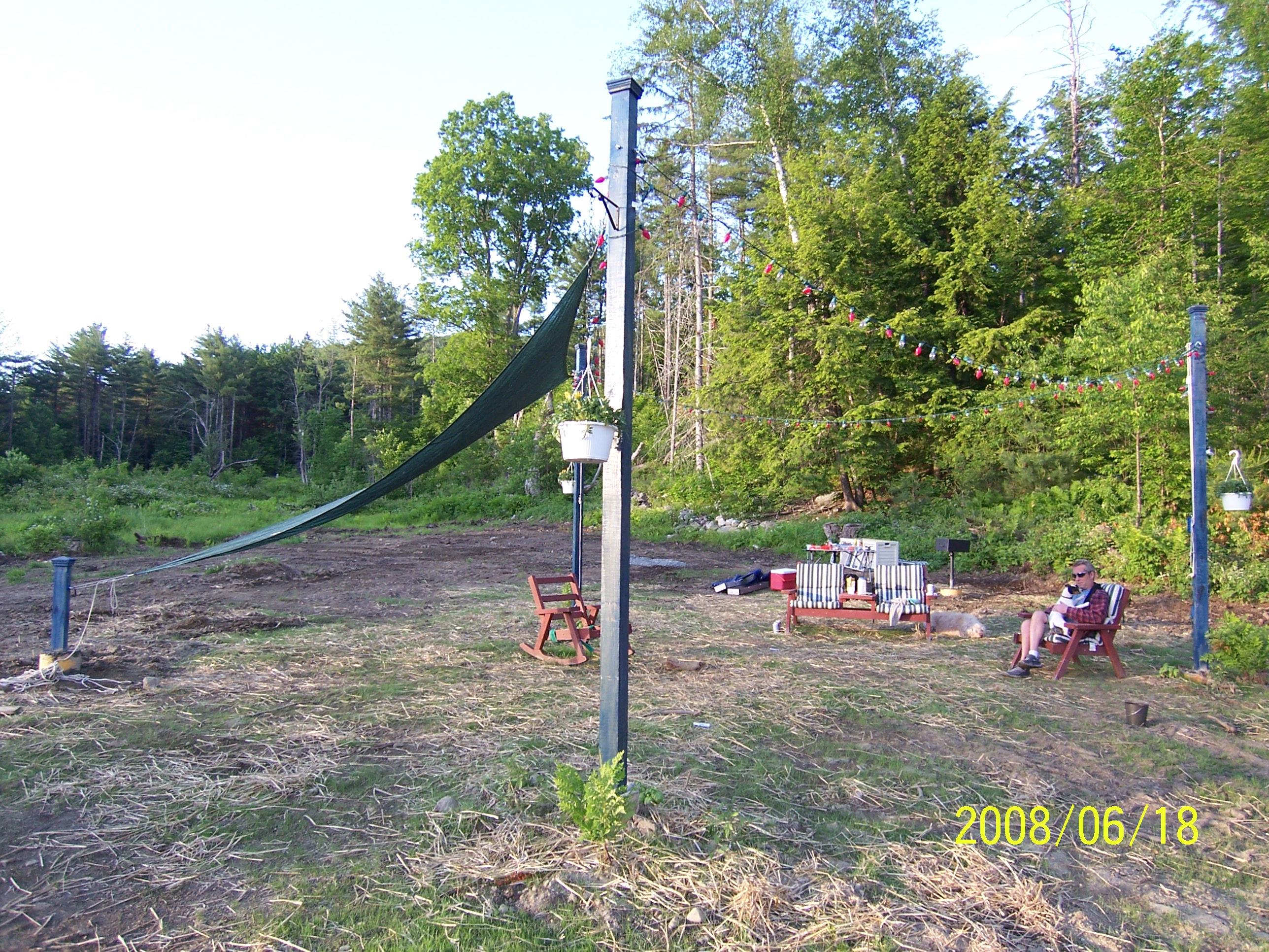
Back view of the sun sail

Congregational Church of Bradford, Vermont

2011-TO SD03-View from bridge
Good morning, Cabin! (View from the outhouse) #nofilter #cabinlove
The view from Jack's dorm towards main campus

Another view

View from the bed. Somehow waking up early just doesn't hurt so much at the Cabin.

A Beautiful View
Side view
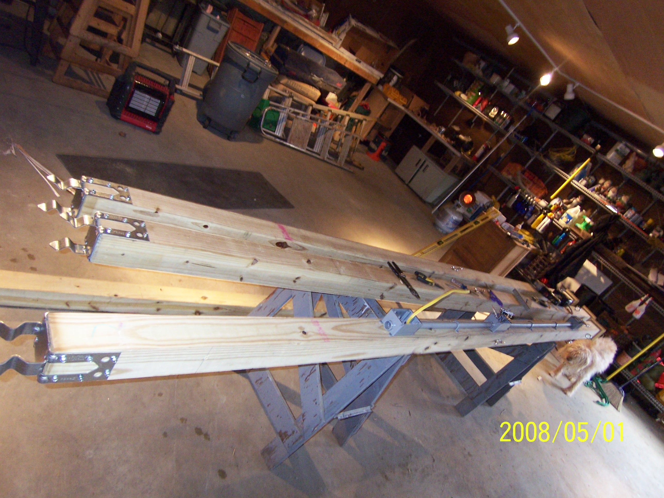
Poles for Sun Sail

91NB-Exit16-17

East Corinth, Vermont

East Corinth, Vermont

"LOW CLOUDS" Vermont

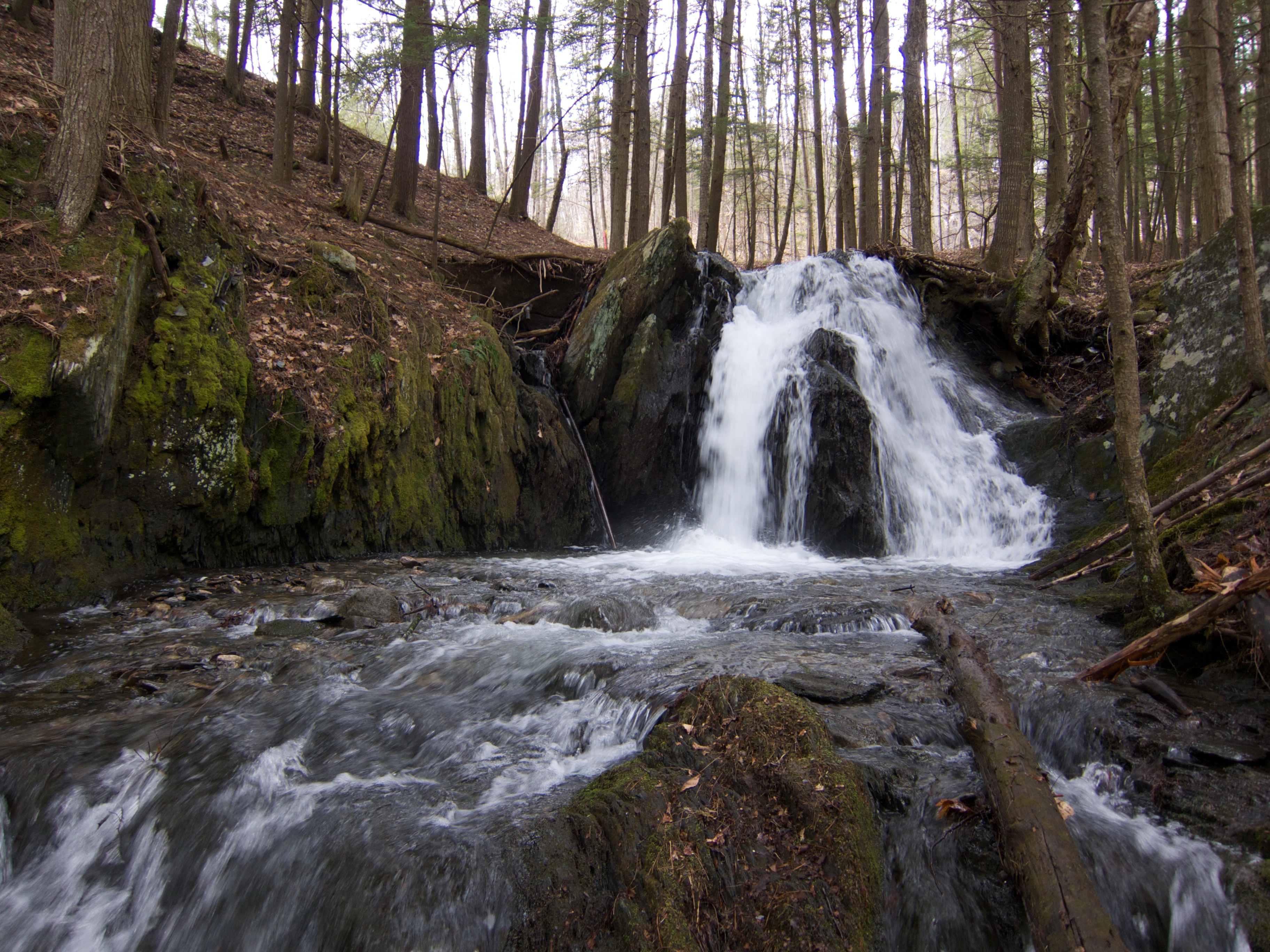
Glen Falls (VT)
Vermont, Oct 2014

A break in the wall and a wide path of ferns. I wonder..... Morning walk #9 #ilovethecabin
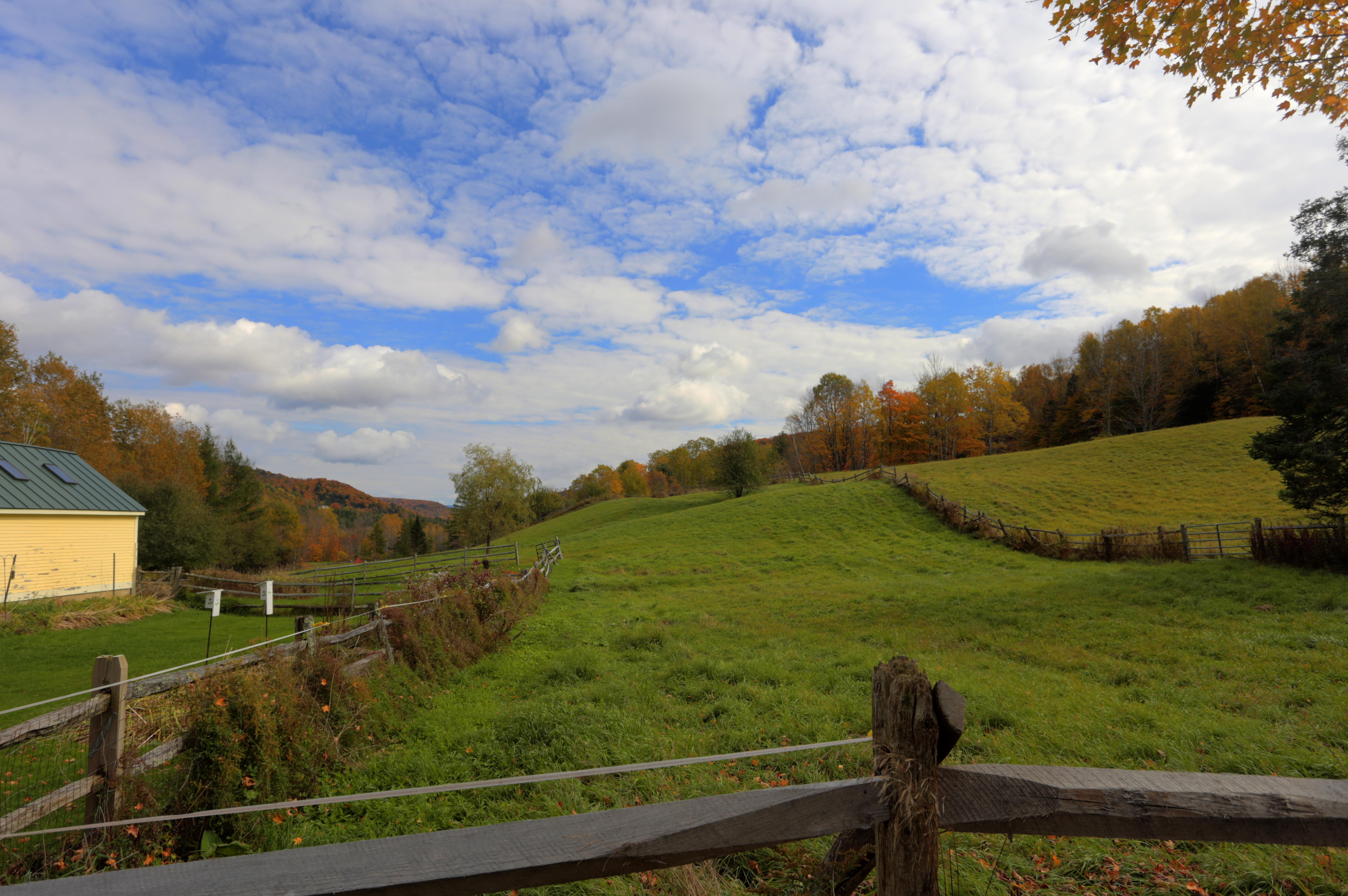
Vermont, Oct 2014

IMGP2816 2009 sept b

Glen Falls, Fairlee, VT

Ruby Throated Hummingbird
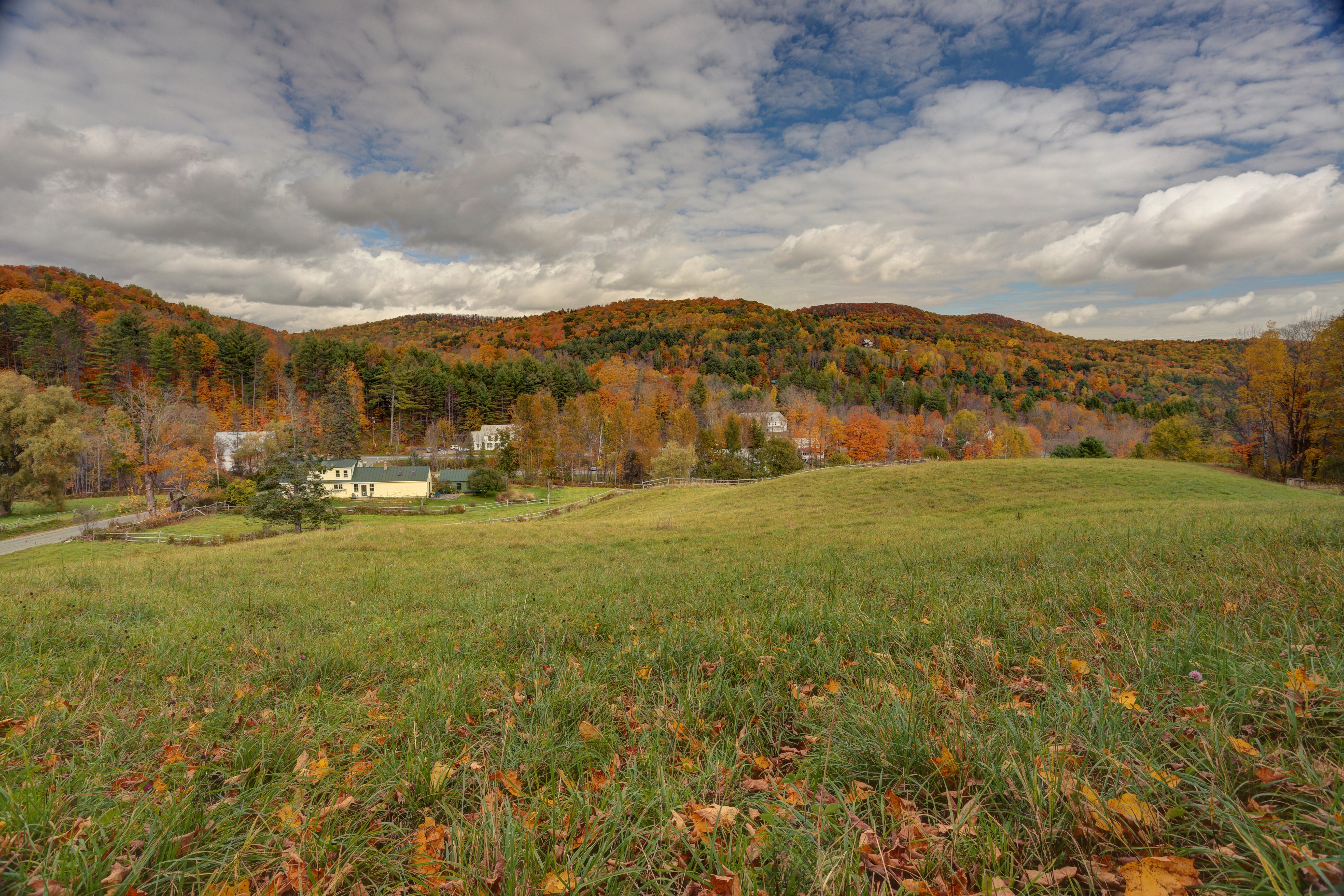
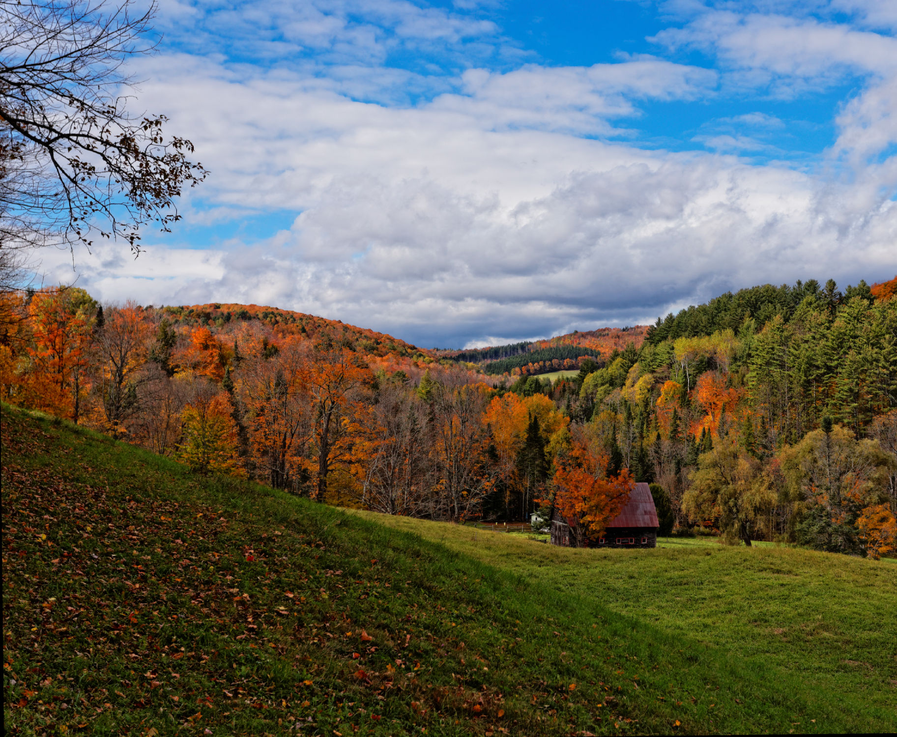
Vermont in the Fall
September - a photo a day of thankfulness. And I'm only a day late starting. . Day one - thankful to be able to take this picture almost every year.
IMG_4752.jpg

Oh, wait! I think it's getting prettier! #ilovethecabin
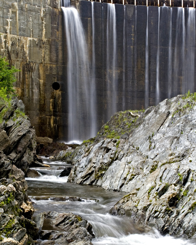
Bradford Dam
Upper Glen Falls
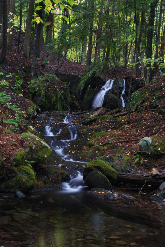
Downstream from Glen Falls, VT 1
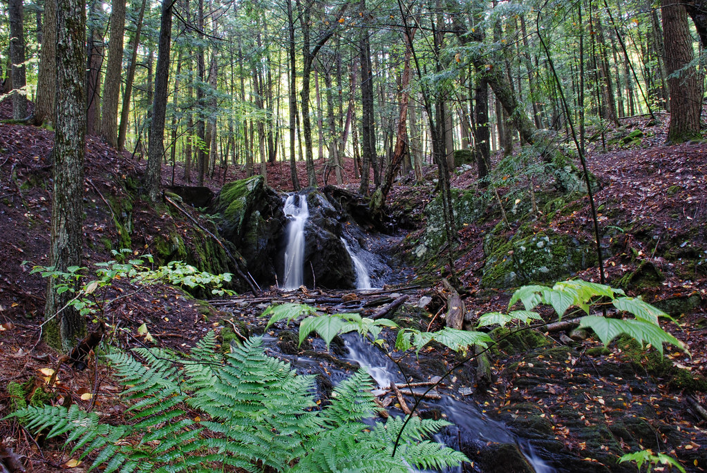
Downstream from Glen Falls, VT 2
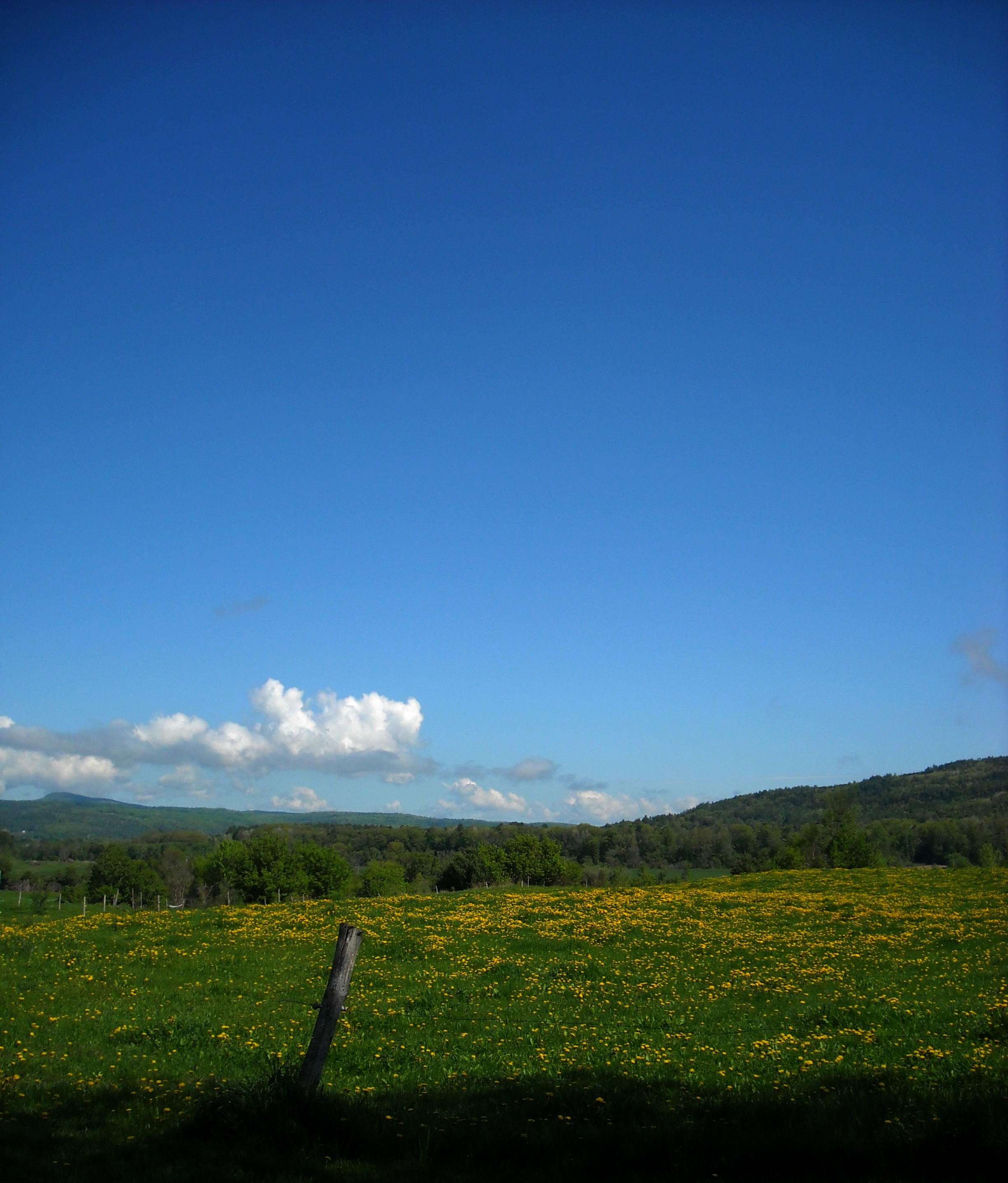
dandelion meadow

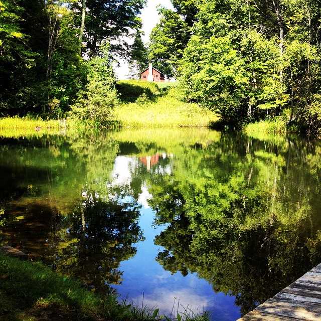
Reflections on the Connecticut River
Topographic Map of Brook Road, Brook Rd, Corinth, VT, USA
Find elevation by address:

Places near Brook Road, Brook Rd, Corinth, VT, USA:
1078 Pike Hill Rd
194 Miller Rd
Corinth
3306 Copper Mine Rd
10872 Vt-25
10872 Vt-25
East Corinth
2340 Richardson Rd
1547 Chelsea Rd
121 Watson Hill Rd
2500 Bear Notch Rd
115 Sheep Meadow Ln
261 Vt-25
5786 Waits River Rd
285 Wrights Mountain Rd
300 Wrights Mountain Rd
280 Wrights Mountain Rd
250 Wrights Mountain Rd
220 Wrights Mountain Rd
110 Wrights Mountain Rd
Recent Searches:
- Elevation of Fern Rd, Whitmore, CA, USA
- Elevation of 62 Abbey St, Marshfield, MA, USA
- Elevation of Fernwood, Bradenton, FL, USA
- Elevation of Felindre, Swansea SA5 7LU, UK
- Elevation of Leyte Industrial Development Estate, Isabel, Leyte, Philippines
- Elevation of W Granada St, Tampa, FL, USA
- Elevation of Pykes Down, Ivybridge PL21 0BY, UK
- Elevation of Jalan Senandin, Lutong, Miri, Sarawak, Malaysia
- Elevation of Bilohirs'k
- Elevation of 30 Oak Lawn Dr, Barkhamsted, CT, USA